Explore the challenging road cycling route near Hofbieber
A road cycling route starting from Hofbieber
Challenge yourself with this demanding road cycling route near Hofbieber
Map

Experience the thrill of road cycling on this challenging route near Hofbieber. With a total distance of 78 kilometers and an ascent of 1540 meters, this route is recommended for well-trained amateurs seeking an adventurous challenge. Along the way, you will encounter various highlights that contribute to the overall appeal of the route. The route takes you through picturesque landscapes, showcasing the natural beauty of the region.
road
78 km
1540 m
Tough
Route profile
Highlights on the route
0 km
0 km
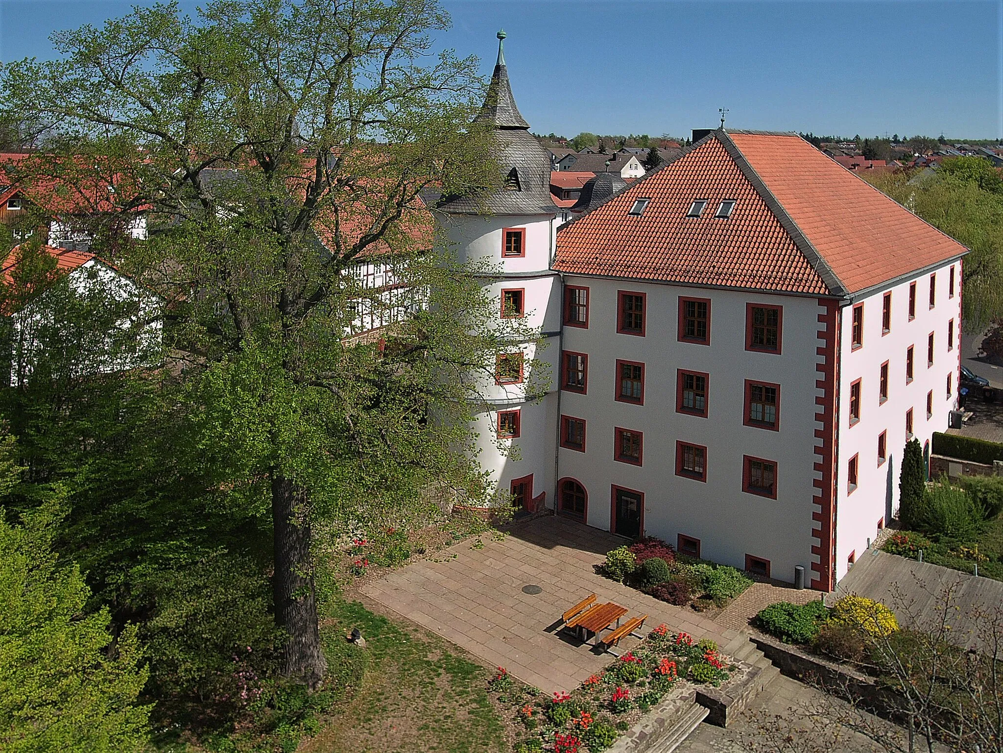
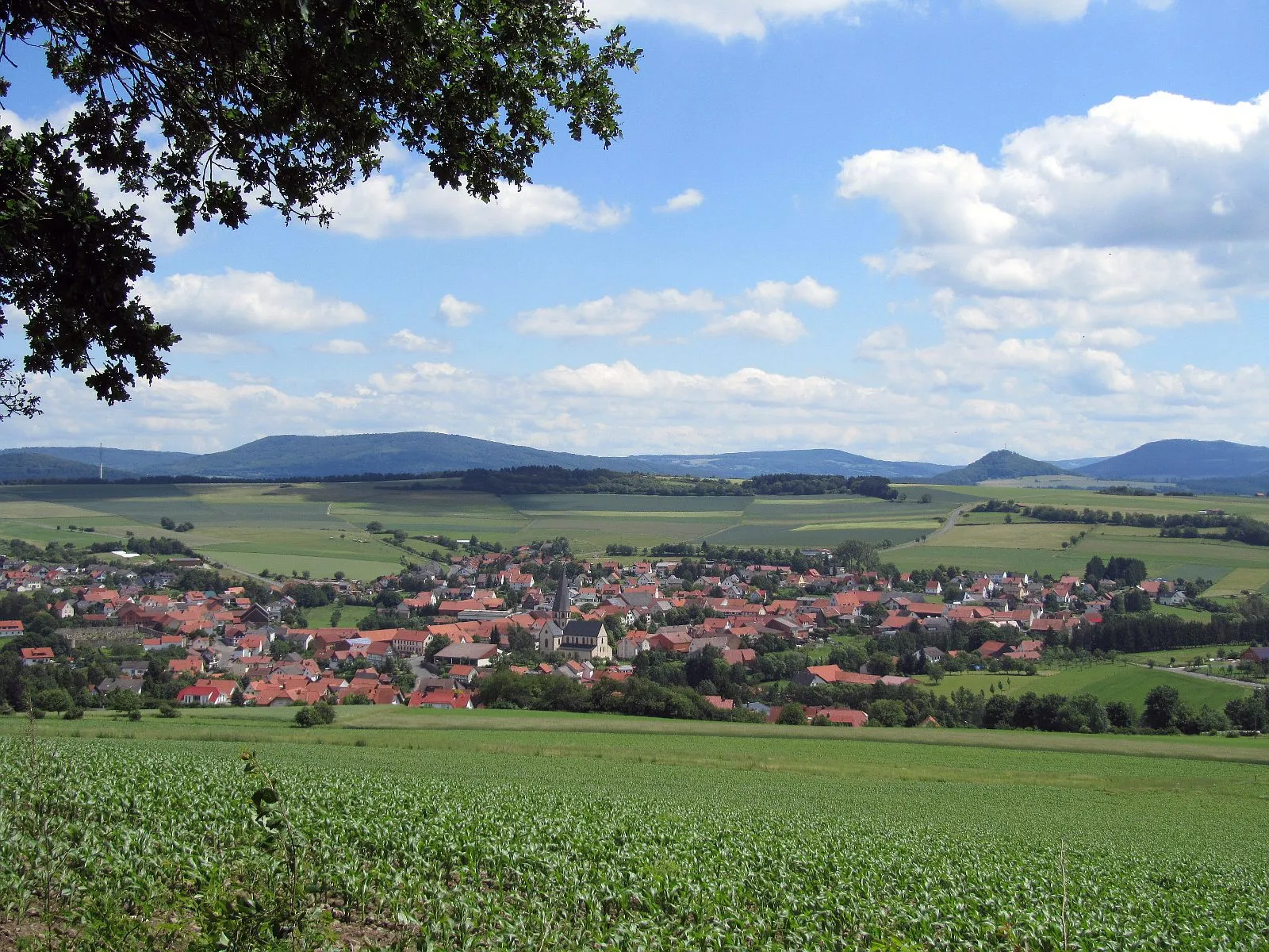
Start: Hofbieber Village centerHofbieber: Diverse terrain with access to the Rhön Mountains
Hofbieber is a locality in Kassel, Germany. It offers varied cycling opportunities with its diverse terrain and well-maintained roads. Cyclists can enjoy riding through the scenic landscapes of the region, including lush forests and rolling hills. Additionally, Hofbieber is a gateway to the Rhön Mountains, which provide plenty of challenging climbs for experienced riders. Overall, this area is a great destination for road and gravel cycling enthusiasts.4 km
4 km
Sandberg563 mPeakSandberg: Challenge yourself as you ascend the steep slopes of Sandberg, located 4 kilometers into the route.
15 km
15 km
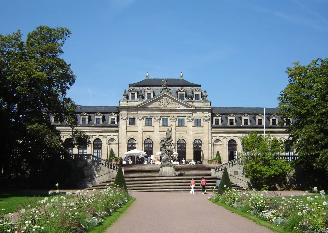
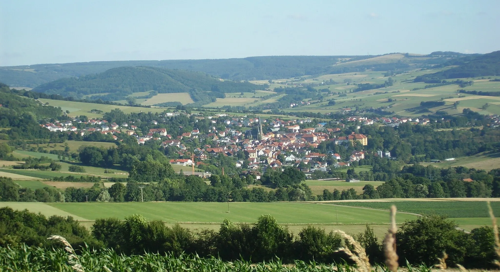
HildersVillageHilders: Explore the charming town of Hilders and its historical buildings, located 15 kilometers along the route.
32 km
32 km
Hoher Dentschberg777 mPeakHoher Dentschberg: Marvel at the scenic views from Hoher Dentschberg, a hill located 32 kilometers into the route.
48 km
48 km
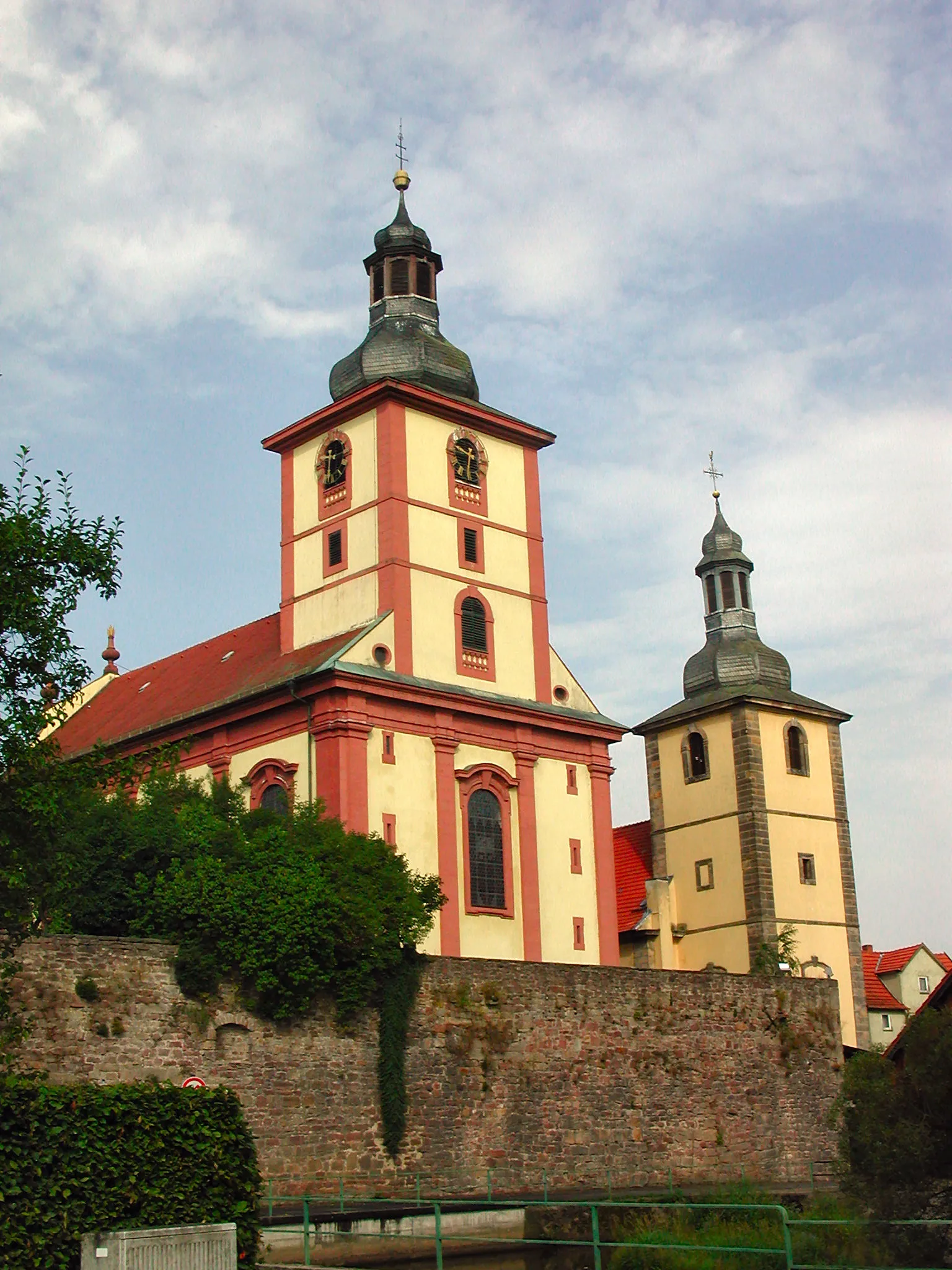
OberweißenbrunnVillageOberweißenbrunn: Visit Oberweißenbrunn and appreciate its natural surroundings, approximately 48 kilometers from the start.
52 km
52 km
Rodenbacher Küppel680 mPeakRodenbacher Küppel: Challenge yourself with the ascent of Rodenbacher Küppel, a hill situated 52 kilometers into the route.
75 km
75 km
Hühnerkopf425 mPeakHühnerkopf: Enjoy panoramic views from Hühnerkopf, a mountain peak located 75 kilometers along the route.
77 km
77 km
LangenbieberVillageLangenbieber: Discover the charm of Langenbieber as you pass through its scenic landscapes, approximately 77 kilometers into the route.
78 km
78 km
Finish: Hofbieber Village centerHofbieber: Diverse terrain with access to the Rhön Mountains
Cycling routes from Hofbieber:
Scenic Road Cycling Route with Historical Gems Scenic Road Cycling Adventure Short and scenic gravel route starting near Hofbieber Scenic gravel route through the countryside near Hofbieber Explore the challenging road cycling route near Hofbieber Gravel Route with Beautiful Hilltop Views Challenging Road Cycling Epic Scenic gravel cycling route near Hofbieber Round trip from Hofbieber through picturesque landscapes Short Gravel Ride with Beautiful Natural Features
Cycling routes nearby: