Cycling paradise in picturesque Hilders
Cycling routes from Hilders
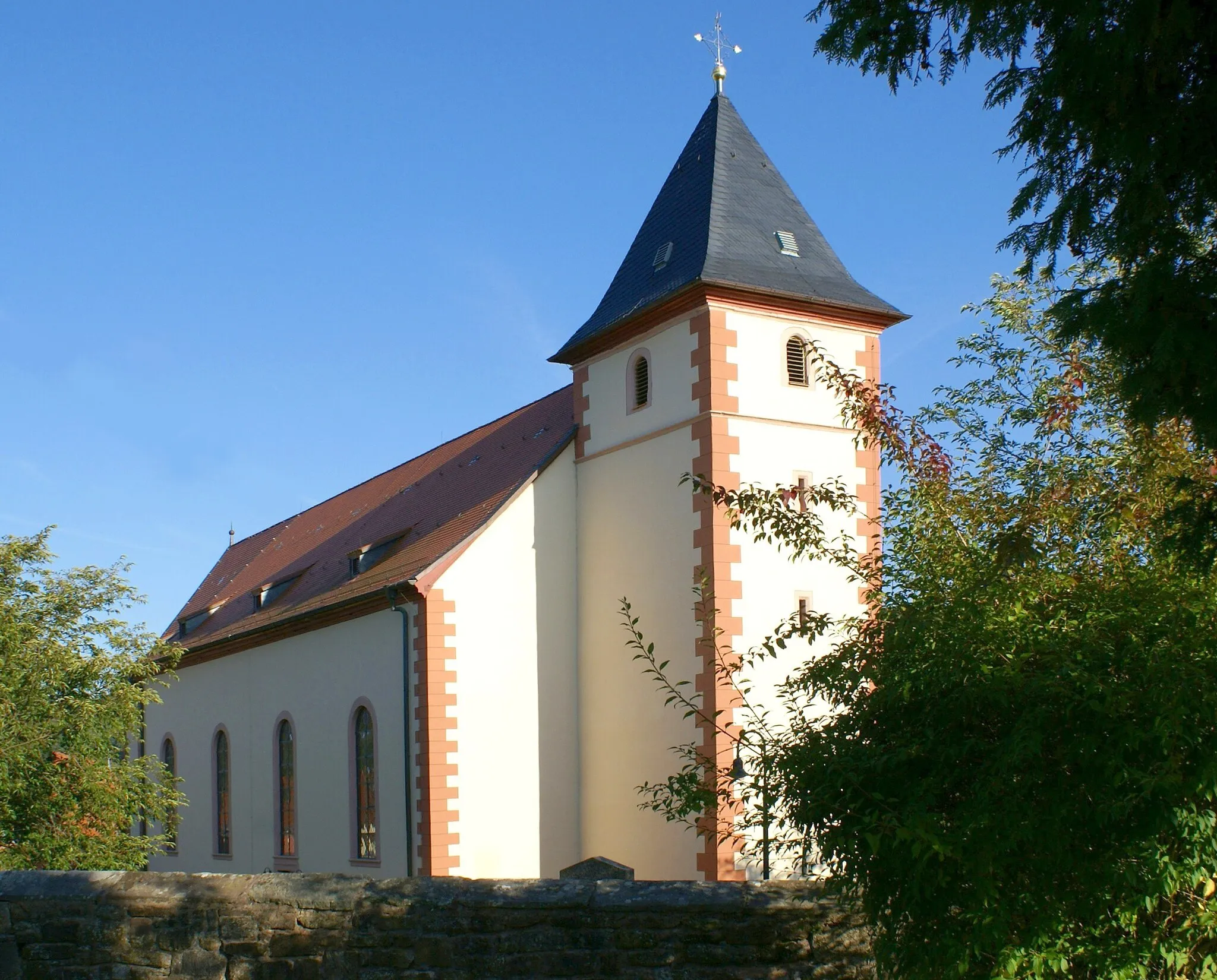
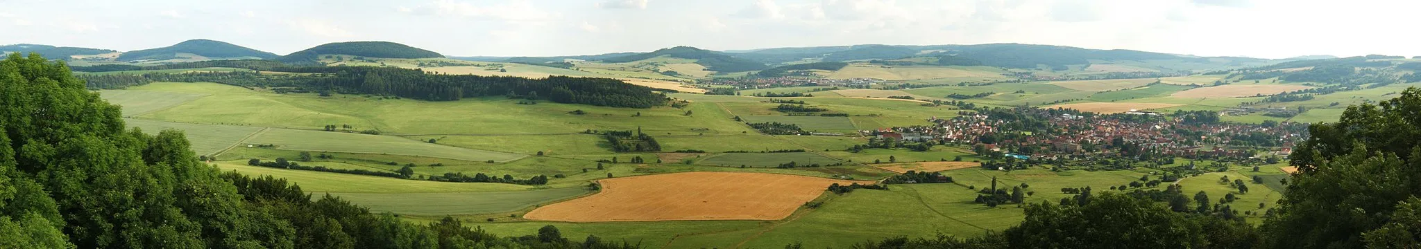
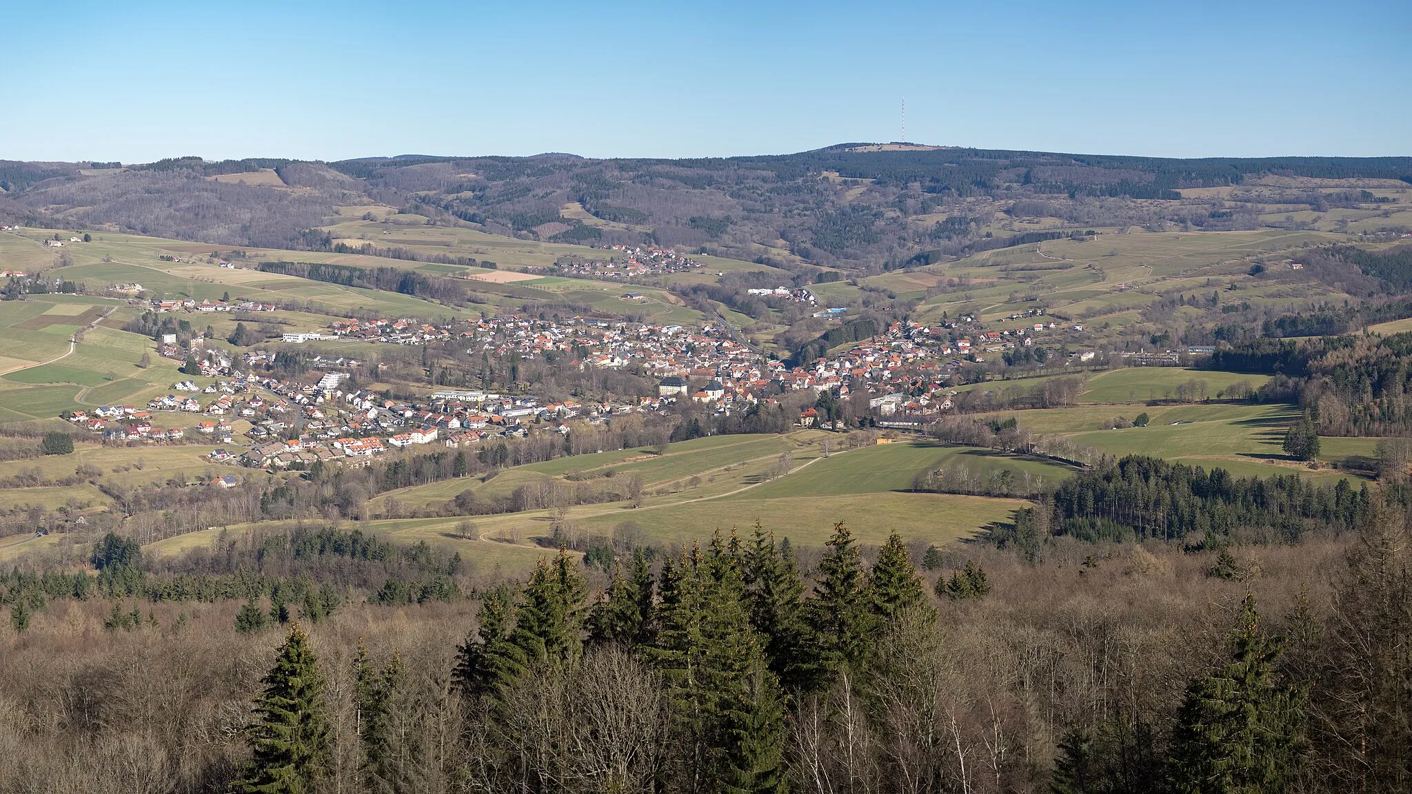
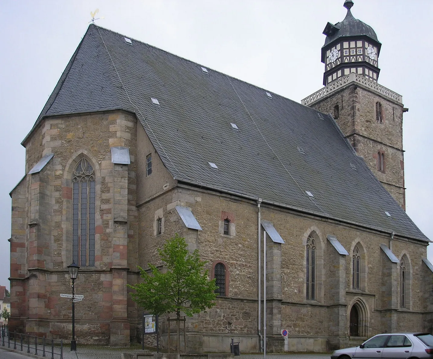
Hilders, located in Kassel, Germany, is a beautiful locality with stunning scenery perfect for road and gravel cycling. The region offers a variety of terrain, from rolling hills to challenging climbs, making it suitable for cyclists of all levels. One famous cycling spot in the area is Wasserkuppe, the highest mountain in Hesse, which attracts cyclists from all over to test their skills on its challenging slopes. With its picturesque landscapes and well-maintained roads, Hilders is a great destination for both cycling enthusiasts and tourists.
Embark on a thrilling gravel cycling journey to the Steinerner Torbogen (Stone Portal) near Hilders.
This gravel cycling route will take you off the beaten path, providing an adventurous and immersive experience. Starting from Hilders, the route covers a distance of 43 km, with a challenging ascent of 1092 meters. You will have the opportunity to explore the stunning natural landscapes surrounding the town, including the Grabenberg hill and Hoher Dentschberg mountain. The highlight of the route is the Steinerner Torbogen, a stone arch that stands as a natural monument of geological significance. Overall, this route offers a unique and exciting adventure for gravel cycling enthusiasts.
Hilders Oberbernhards Loop
Experience the scenic beauty of Oberbernhards on this road cycling adventure starting from Hilders.
This road cycling route takes you through the picturesque Oberbernhards village, offering stunning views of the surrounding countryside. With a moderate difficulty level, it is suitable for well-trained amateur cyclists. Along the way, you will pass by the Oberbernhardser Höhe viewpoint, offering panoramic vistas, and the historic Mariengrotte (Mary's Grotto). The route covers a total distance of 60 km, with a challenging ascent of 730 meters. Overall, it is a rewarding ride that showcases the natural beauty of the region.
Immerse yourself in the gravel paradise of Schneeberg
The Schneeberg Gravel Loop is a thrilling 56 km off-road route that takes you on a gravel adventure through the picturesque landscapes of Schneeberg. With an ascent of 977 meters, this gravel route is suitable for experienced riders. The route offers a combination of challenging terrain, stunning gravel trails, and breathtaking descents. Highlights along the route include Teufelstein, a rocky formation with panoramic views, and Weinberg, a vineyard overlooking the scenic Schneeberg region. The route concludes in Hilders, a charming town nestled amidst the beautiful Rhön Mountains.
Wasserkuppe Ride
Conquer the legendary Wasserkuppe
The Wasserkuppe Ride is a 74 km road route that takes you on a challenging journey to conquer the legendary Wasserkuppe mountain. With an ascent of 1054 meters, this route is suitable for experienced road cyclists. The route offers a mix of rolling hills and steep climbs, with the Wasserkuppe being the highlight of the ride. The Wasserkuppe is the highest peak in the Rhön Mountains and a famous spot for paragliding and hang-gliding. Along the route, cyclists will also pass by scenic villages and enjoy panoramic views of the surrounding countryside. The ride concludes in Hilders, a picturesque town nestled amidst the stunning landscapes of the Rhön Mountains.
Fulda Valley Loop
Discover the scenic beauty of the Fulda Valley
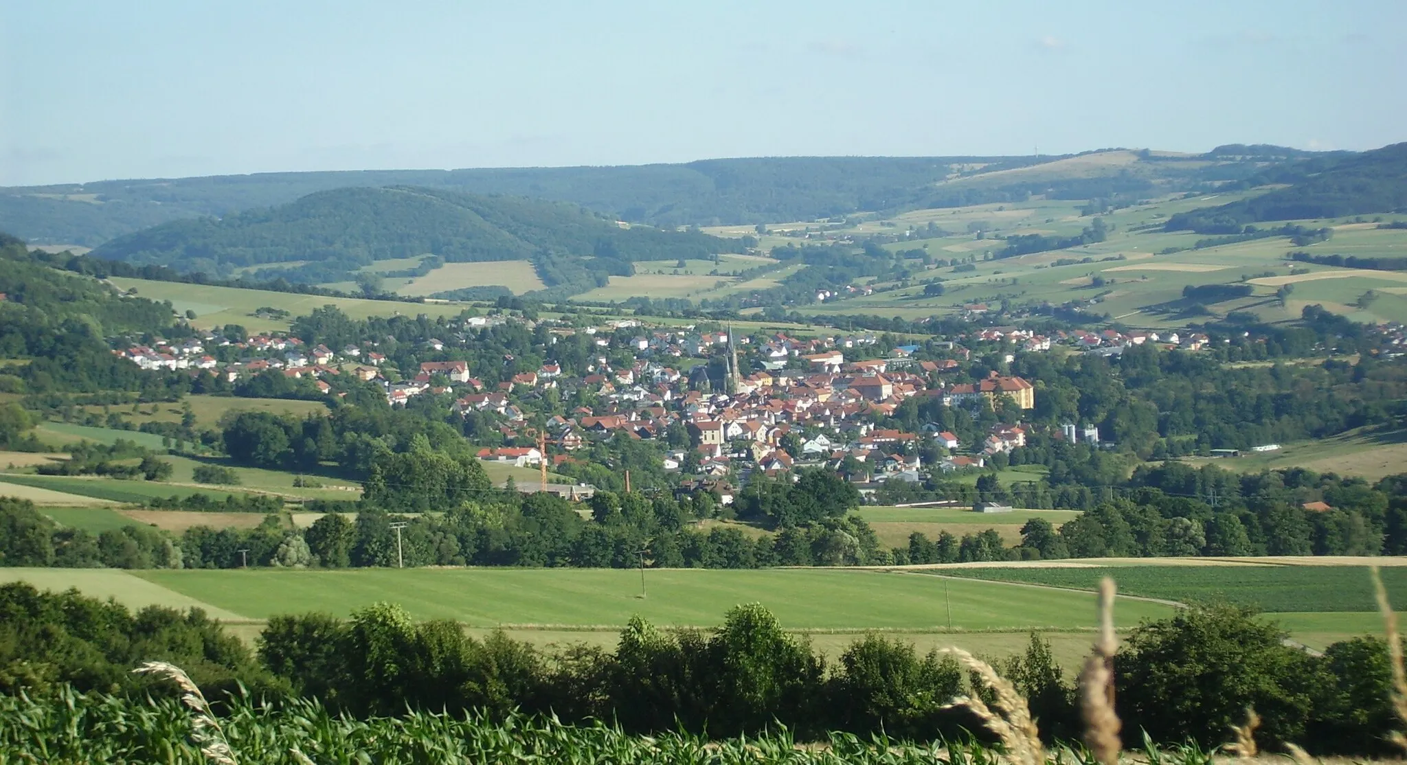
The Fulda Valley Loop is a 74 km road route that takes you on a journey through the stunning landscapes of the Fulda Valley. With an ascent of 1231 meters, this route is suitable for intermediate cyclists. The route offers excellent views of the valley and its picturesque villages. Cycling enthusiasts will enjoy the rolling hills and beautiful countryside. Highlights along the route include Battenstein, a village known for its charming old town and historic buildings, and Schweinhof, a picturesque hamlet surrounded by lush green meadows. The route concludes in Steinberg, offering stunning vistas of the Fulda Valley.
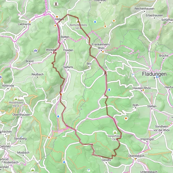
Embark on an epic gravel adventure to Kreuzberg, one of the highest peaks in the Rhön Mountains.
Prepare yourself for an epic gravel cycling journey starting from Hilders that will take you to the summit of Kreuzberg, known as the 'Holy Mountain of the Franconian-Saxon'. With a distance of 78 km and a challenging ascent of 1908 meters, this route is suitable for experienced gravel cyclists seeking a thrilling and rewarding adventure. Along the way, you will encounter stunning natural landscapes, including the Grabenberg hill and Ginolfs village. The highlight of the route is reaching Kreuzberg, where you can visit the famous Kreuzberg Monastery and enjoy breathtaking views from the summit. Overall, this route offers a legendary cycling experience in the heart of the Rhön Mountains.
Embark on an adventure to Streufelsberg and discover the natural beauty of the Rhön Mountains.
Immerse yourself in the captivating landscapes of the Rhön Mountains on this gravel cycling route starting from Hilders. With a distance of 71 km and an ascent of 1350 meters, this route offers a challenging yet rewarding experience for gravel cycling enthusiasts. Along the way, you will encounter stunning natural landmarks such as the Stockheim viewpoint and Hundsrücken peak. The highlight of the route is Streufelsberg, a prominent hill offering panoramic views of the surrounding countryside. With its unique landscapes and picturesque villages, this route showcases the diverse beauty of the Rhön region.
Embark on a challenging road cycling adventure to Melmesberg with stunning viewpoints along the way.
This challenging road cycling route starting from Hilders will take you to the summit of Melmesberg, offering breathtaking views of the surrounding landscapes. With a distance of 97 km and an ascent of 1306 meters, this route is suitable for experienced cyclists seeking a test of endurance. Along the way, you will pass through picturesque villages including Hofbieber and Hünfeld, known for their rich history and charming architecture. The highlight of the route is the panoramic viewpoint at Melmesberg, where you can enjoy sweeping vistas of the Rhön Mountains. It is a rewarding ride that combines scenic beauty with a physical challenge.
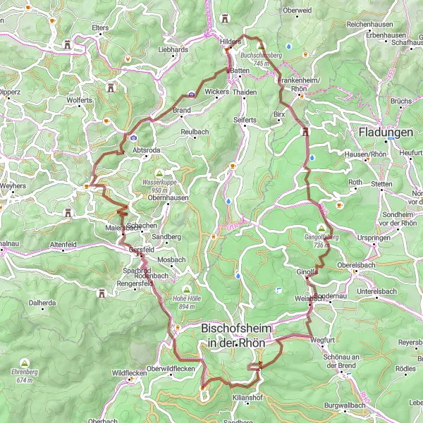
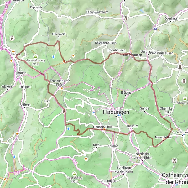
Rhön Cycle Route
Breathtaking views of the Rhön Mountains
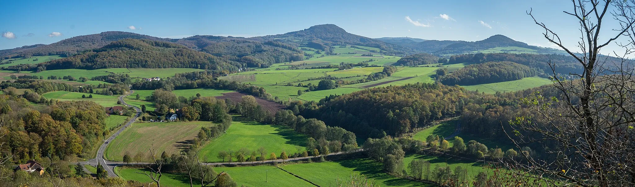
The Rhön Cycle Route takes you on a scenic journey through the stunning Rhön Mountains in Germany. With a total distance of 147 km and an ascent of 2061 meters, this road route is suitable for experienced cyclists. The route offers breathtaking views of the mountain ranges and picturesque valleys. Cycling enthusiasts will be delighted by the challenging climbs and exhilarating descents. Along the way, highlights include Wickers, known for its charming traditional architecture, and Rodenbacher Küppel, a hill with panoramic views. The route concludes in Hilders, a charming town nestled in the Rhön Mountains.
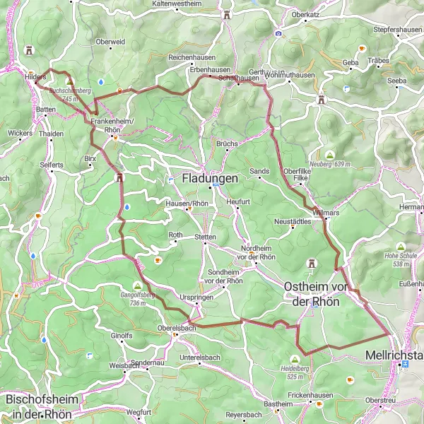
Rhön Gravel Adventure
Embark on an exciting gravel adventure in the Rhön Mountains
The Rhön Gravel Adventure is a 51 km off-road route that takes you on an exciting journey through the rugged terrain of the Rhön Mountains. With an ascent of 1280 meters, this route is suitable for experienced gravel riders. The route offers thrilling descents and challenging climbs, making it a perfect choice for adventurous cyclists. Highlights along the route include Streufelsberg, a hill known for its breathtaking views of the Rhön Mountains, and Erbenhausen, a charming village surrounded by scenic landscapes. The route concludes in Battenstein, offering a peaceful atmosphere and traditional architecture.
Cycling routes nearby:

Nearby regions: