Rhön Gravel Adventure
A gravel cycling route starting from Hilders
Embark on an exciting gravel adventure in the Rhön Mountains
Map
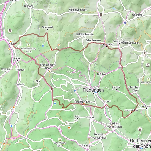
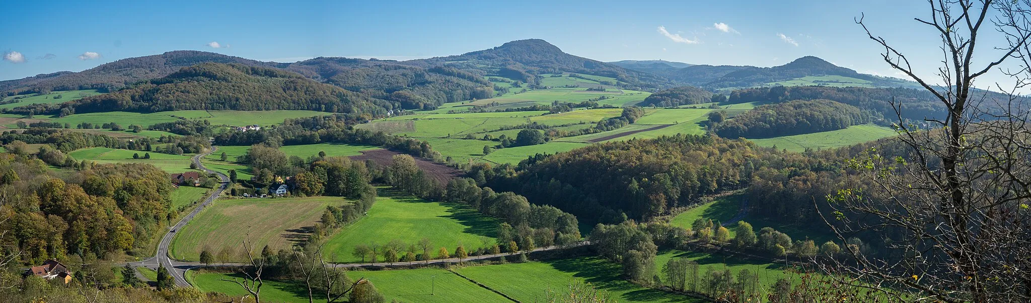
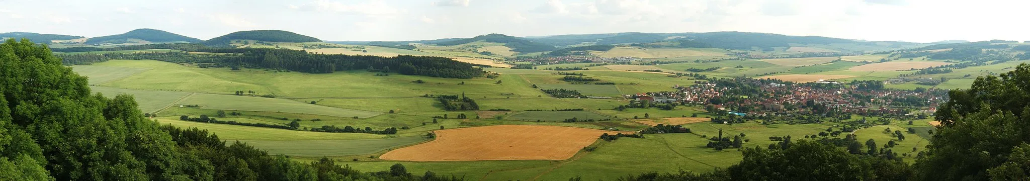
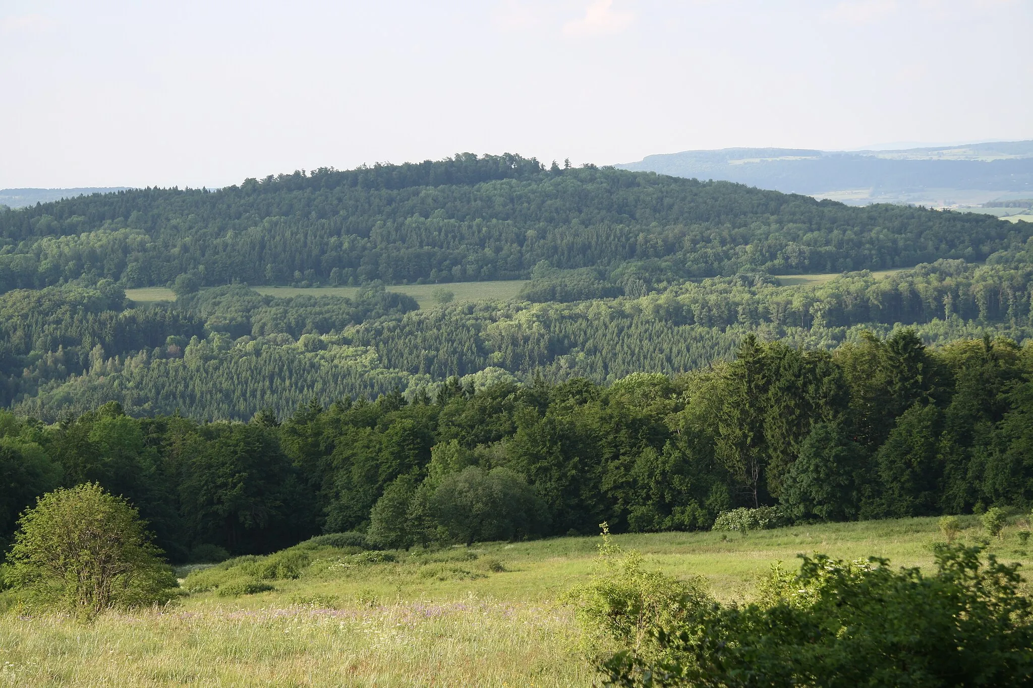
The Rhön Gravel Adventure is a 51 km off-road route that takes you on an exciting journey through the rugged terrain of the Rhön Mountains. With an ascent of 1280 meters, this route is suitable for experienced gravel riders. The route offers thrilling descents and challenging climbs, making it a perfect choice for adventurous cyclists. Highlights along the route include Streufelsberg, a hill known for its breathtaking views of the Rhön Mountains, and Erbenhausen, a charming village surrounded by scenic landscapes. The route concludes in Battenstein, offering a peaceful atmosphere and traditional architecture.
gravel
51 km
1280 m
Tough
Route profile
Highlights on the route
0 km
0 km
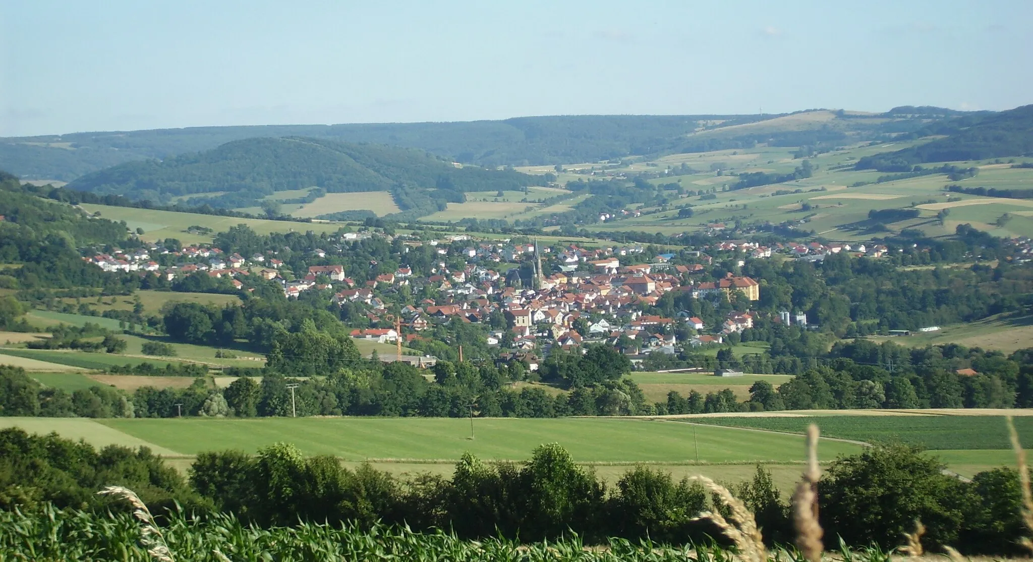
Start: Hilders Village centerHilders: Cycling paradise in picturesque Hilders
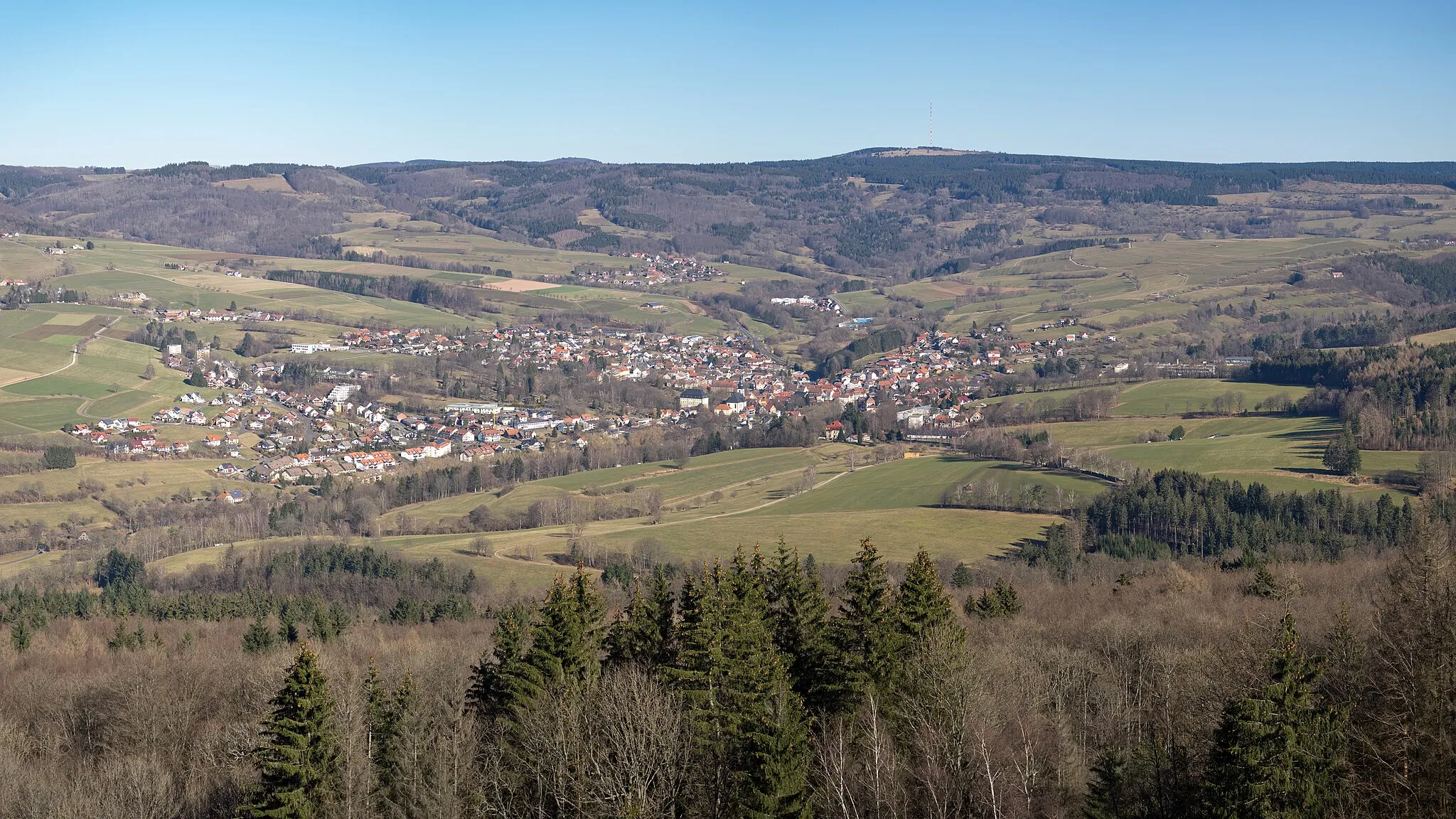
Hilders, located in Kassel, Germany, is a beautiful locality with stunning scenery perfect for road and gravel cycling. The region offers a variety of terrain, from rolling hills to challenging climbs, making it suitable for cyclists of all levels. One famous cycling spot in the area is Wasserkuppe, the highest mountain in Hesse, which attracts cyclists from all over to test their skills on its challenging slopes. With its picturesque landscapes and well-maintained roads, Hilders is a great destination for both cycling enthusiasts and tourists.10 km
10 km
Streufelsberg740 mPeakStreufelsberg offers exhilarating descents and outstanding views of the rugged Rhön Mountains.
14 km
14 km
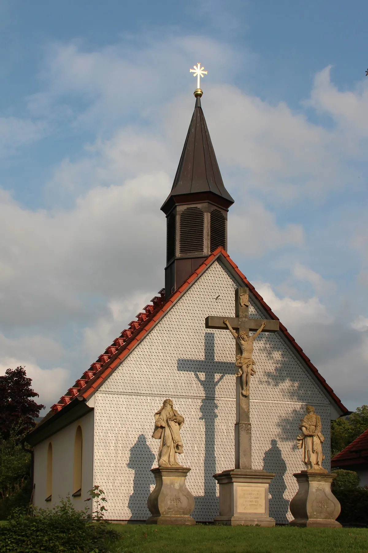
ErbenhausenVillageErbenhausen is a charming village surrounded by stunning nature and provides a serene rural experience.
20 km
20 km
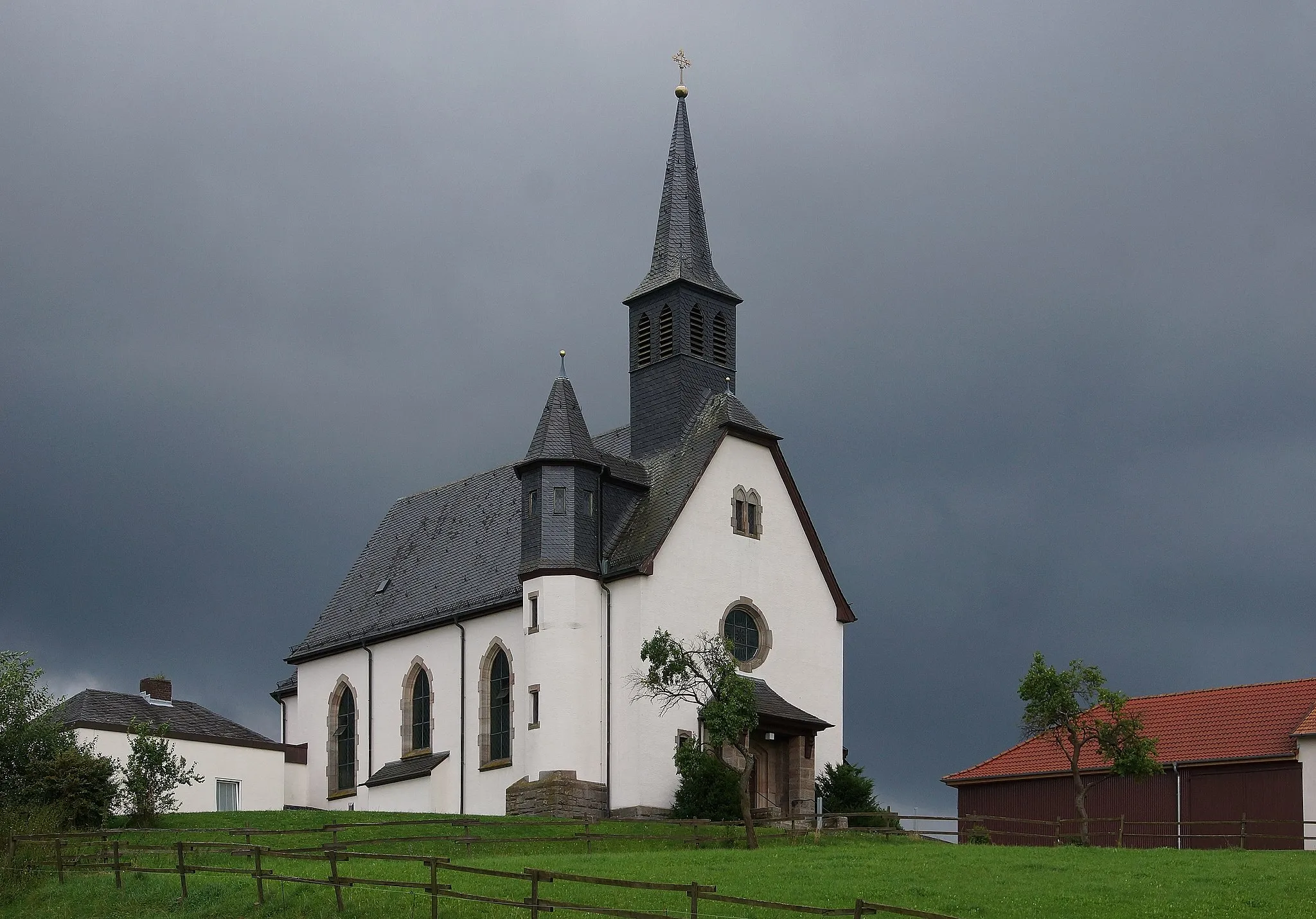
WeimarschmiedenVillageWeimarschmieden features serene countryside landscapes and a quiet atmosphere, perfect for gravel riding.
29 km
29 km
Hasenkopf514 mPeakHasenkopf is a challenging climb with incredible panoramic views of the Rhön Mountains.
42 km
42 km
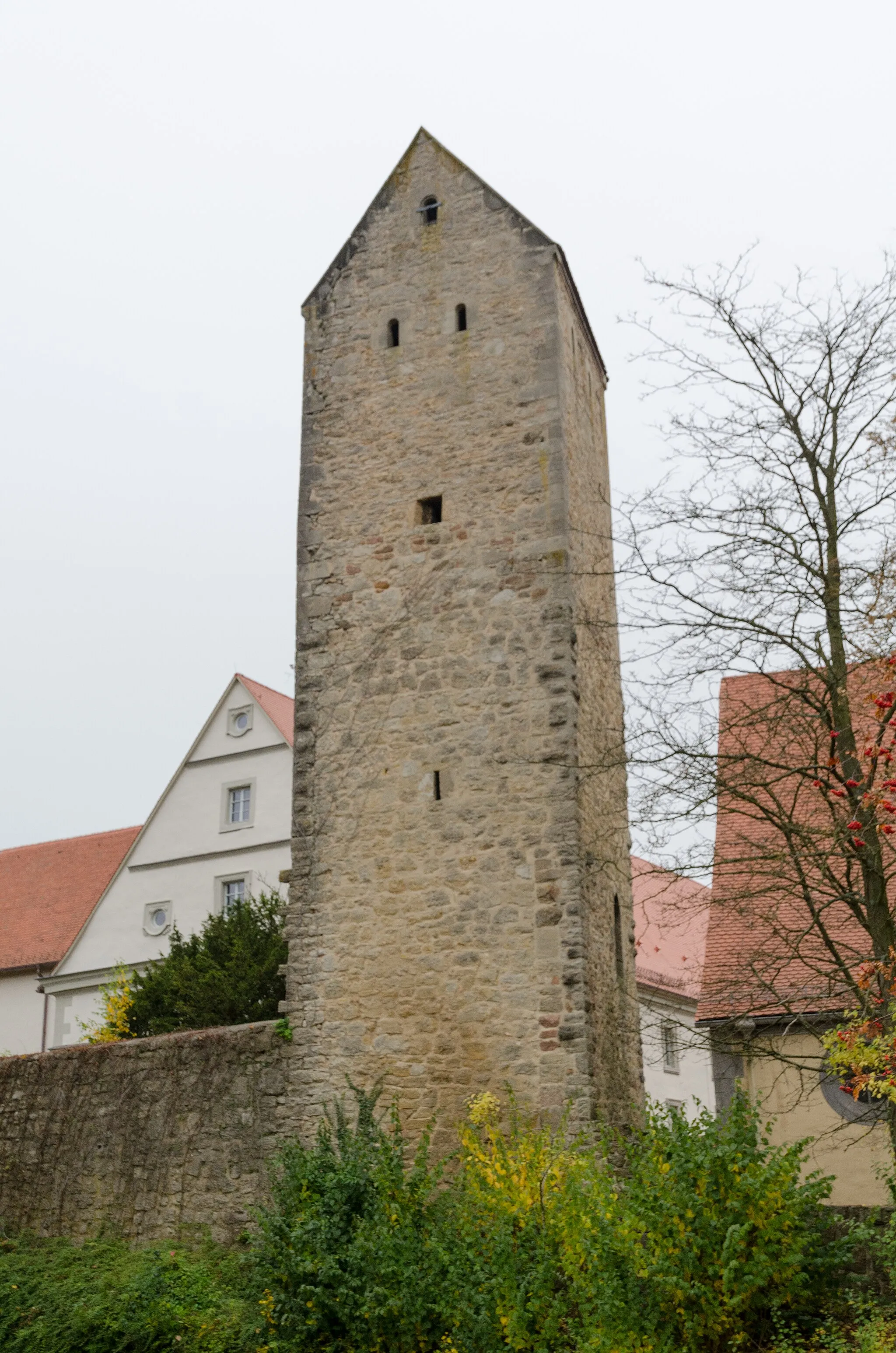
Steinerner TorbogenCastle RuinsSteinerner Torbogen is a natural rock formation that serves as a magnificent landmark in the Rhön Mountains.
43 km
43 km
Grabenberg796 mPeakGrabenberg offers diverse terrain, rocky trails, and breathtaking vistas of the picturesque Rhön Mountains.
49 km
49 km
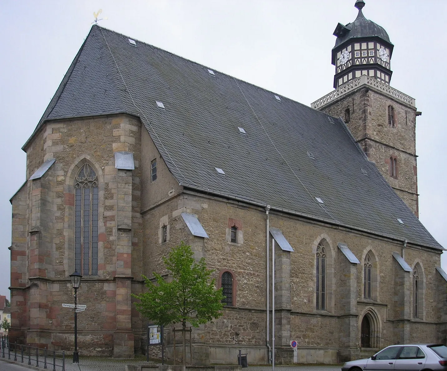
Battenstein652 mPeakBattenstein is a tranquil village surrounded by beautiful landscapes and boasts traditional half-timbered houses.
51 km
51 km
Finish: Hilders Village centerHilders: Cycling paradise in picturesque Hilders
Cycling routes from Hilders:
Cycling routes nearby: