Wasserkuppe Ride
A road cycling route starting from Hilders
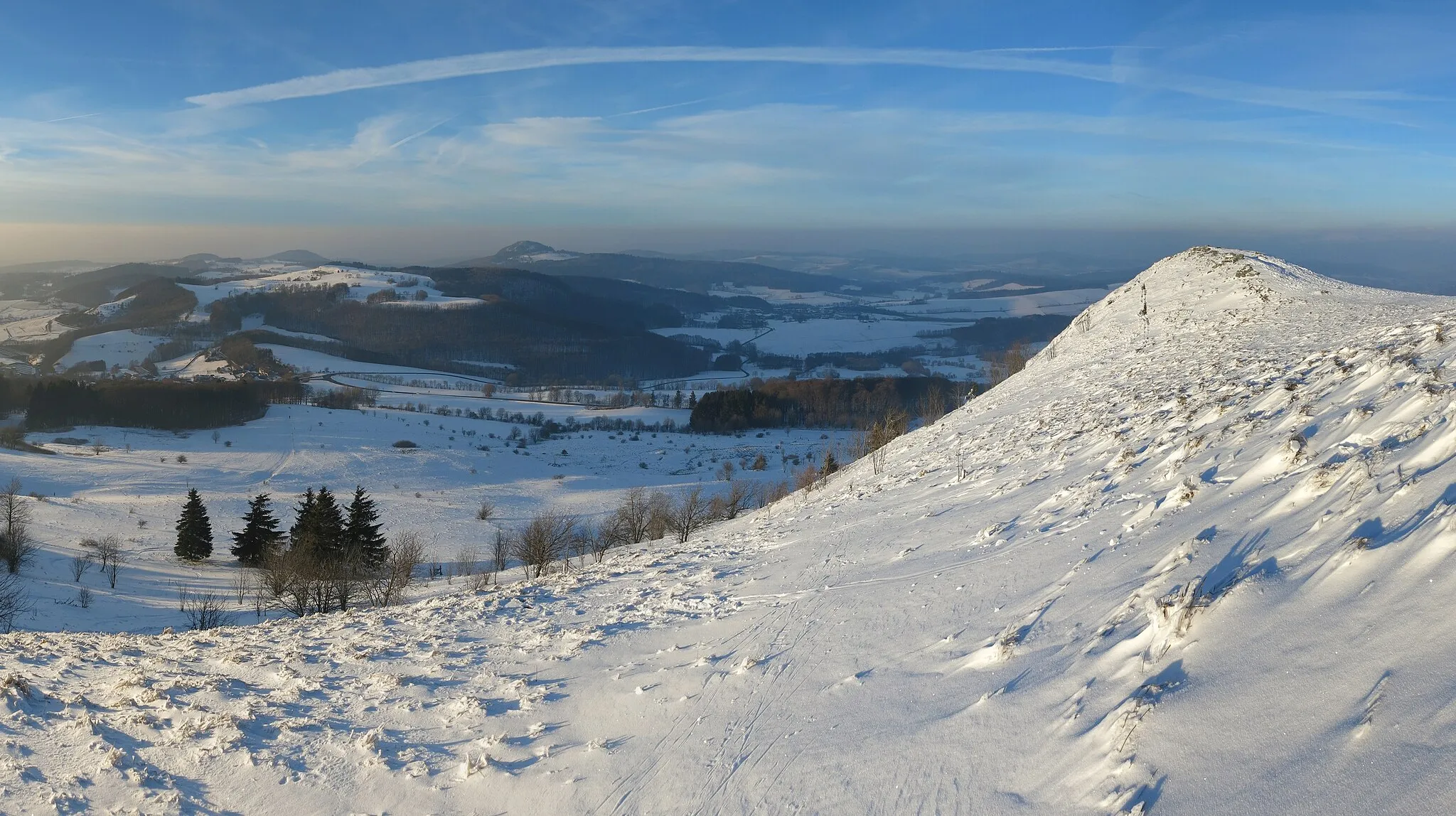
Conquer the legendary Wasserkuppe
Map
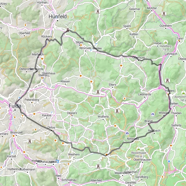
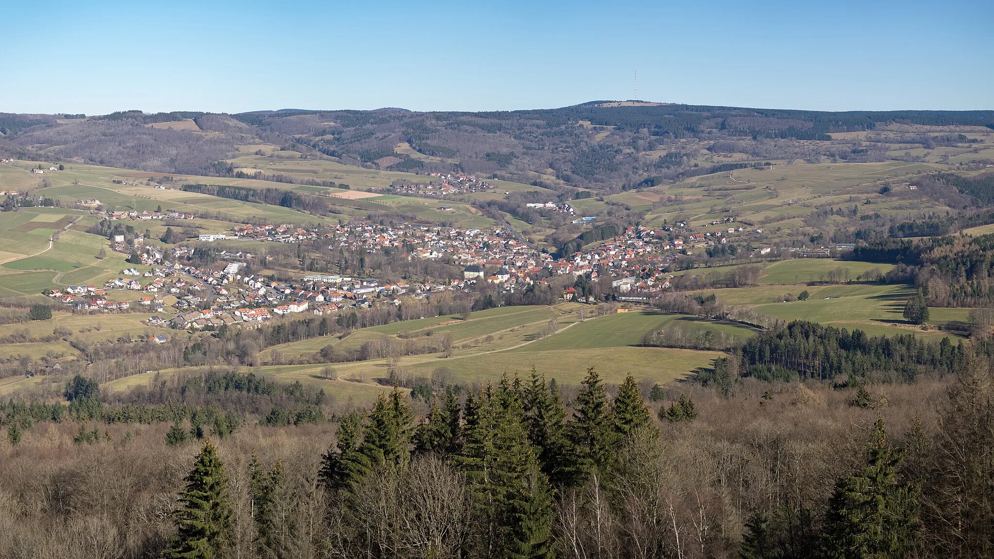
The Wasserkuppe Ride is a 74 km road route that takes you on a challenging journey to conquer the legendary Wasserkuppe mountain. With an ascent of 1054 meters, this route is suitable for experienced road cyclists. The route offers a mix of rolling hills and steep climbs, with the Wasserkuppe being the highlight of the ride. The Wasserkuppe is the highest peak in the Rhön Mountains and a famous spot for paragliding and hang-gliding. Along the route, cyclists will also pass by scenic villages and enjoy panoramic views of the surrounding countryside. The ride concludes in Hilders, a picturesque town nestled amidst the stunning landscapes of the Rhön Mountains.
road
74 km
1054 m
Tough
Route profile
Highlights on the route
0 km
0 km
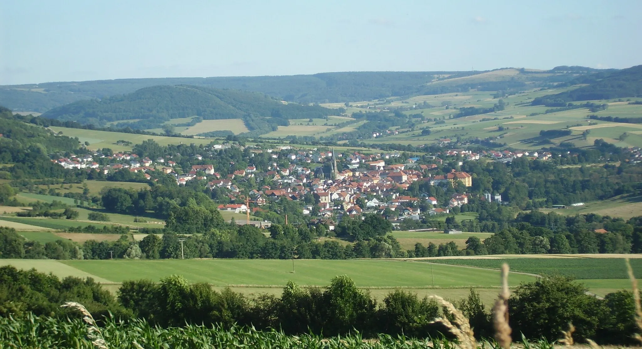
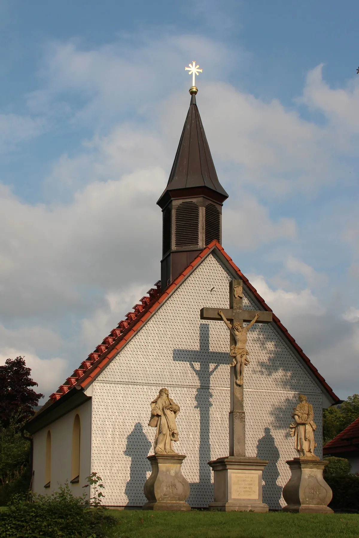
Start: Hilders Village centerHilders: Cycling paradise in picturesque Hilders
Hilders, located in Kassel, Germany, is a beautiful locality with stunning scenery perfect for road and gravel cycling. The region offers a variety of terrain, from rolling hills to challenging climbs, making it suitable for cyclists of all levels. One famous cycling spot in the area is Wasserkuppe, the highest mountain in Hesse, which attracts cyclists from all over to test their skills on its challenging slopes. With its picturesque landscapes and well-maintained roads, Hilders is a great destination for both cycling enthusiasts and tourists.11 km
11 km
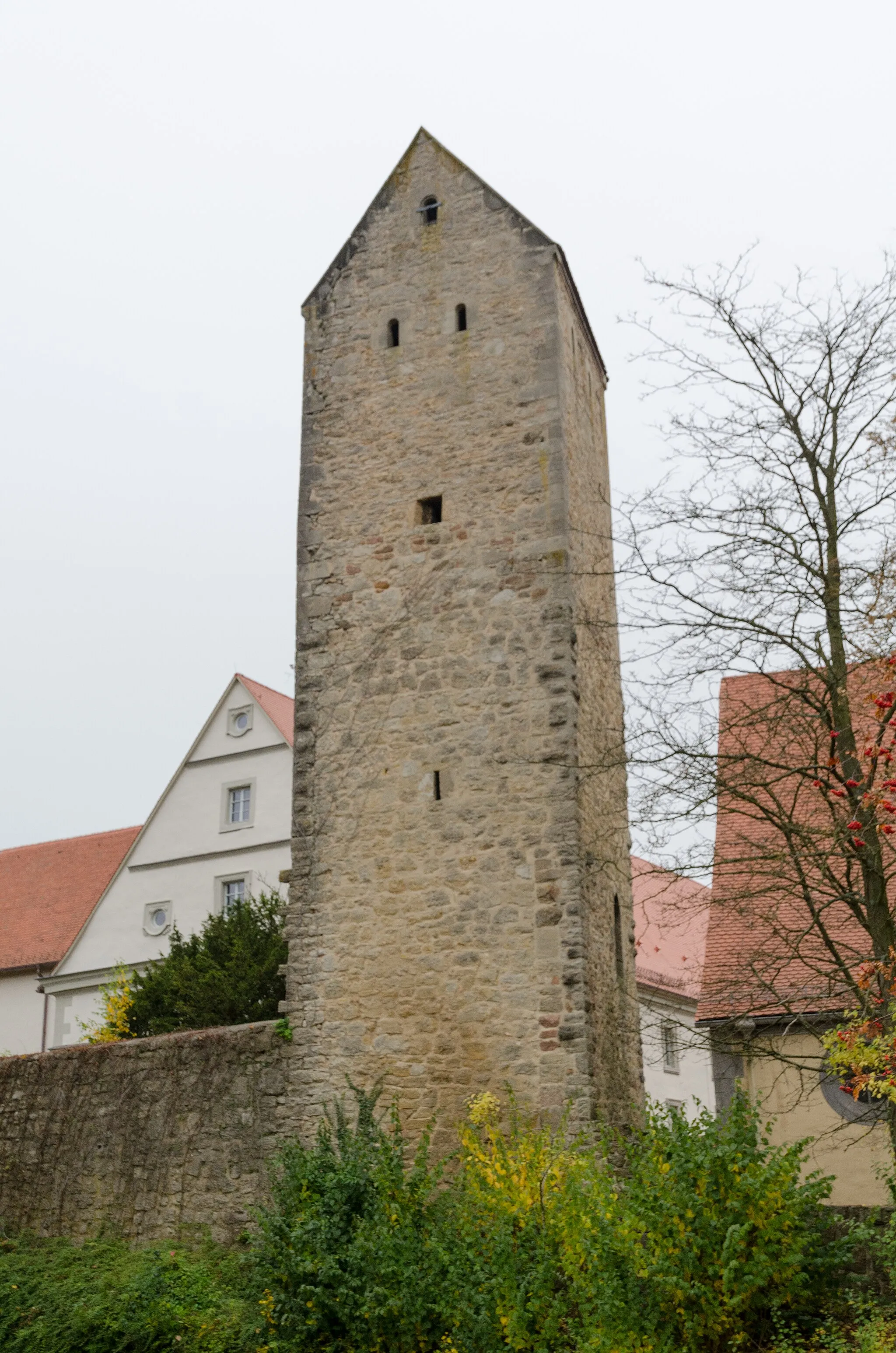
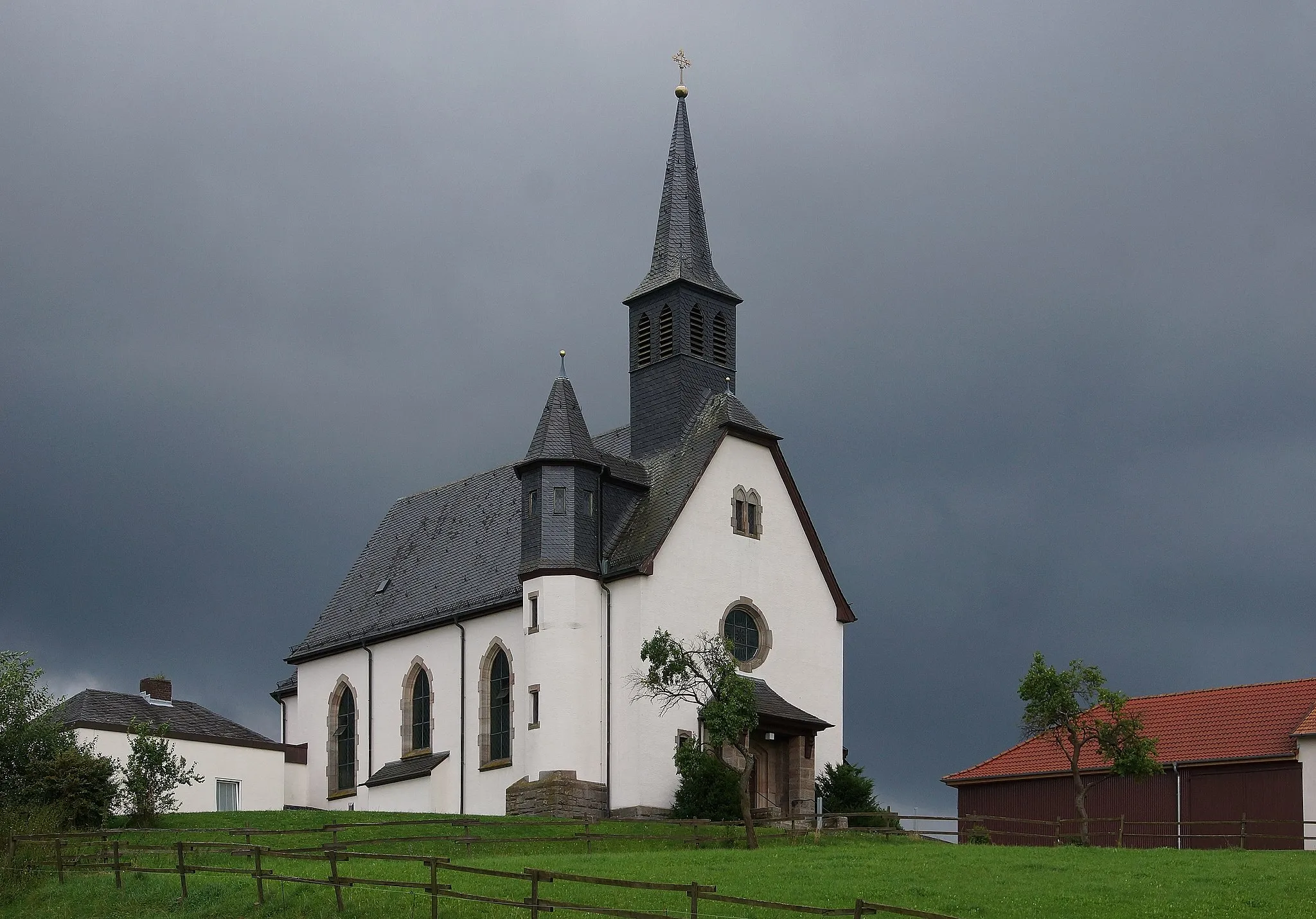
AbtsrodaVillageAbtsroda is a scenic village with charming half-timbered houses and offers splendid views of the Wasserkuppe.
12 km
12 km
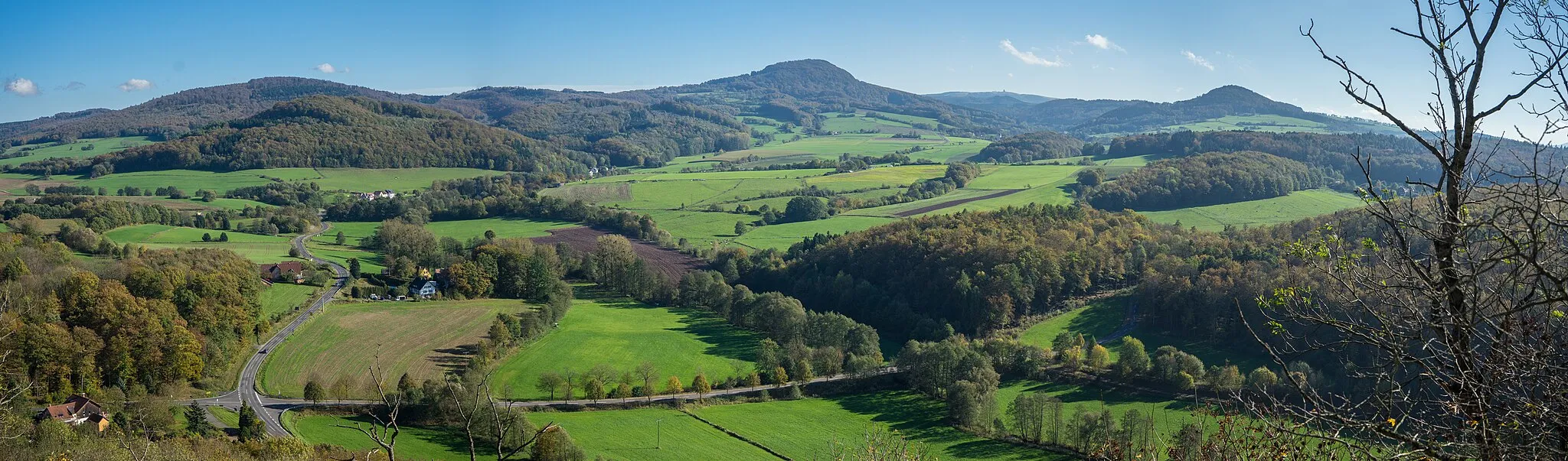
Weiherkuppe759 mPeakWeiherkuppe is a vantage point with panoramic vistas of the Rhön Mountains and picturesque valleys.
20 km
20 km
Haimberg537 mPeakHaimberg provides stunning views of the surrounding nature and is a challenging climb for cyclists.
35 km
35 km
NordendSub-urbNordend offers breathtaking views of the rolling hills and lush green landscapes of the Rhön Mountains.
43 km
43 km
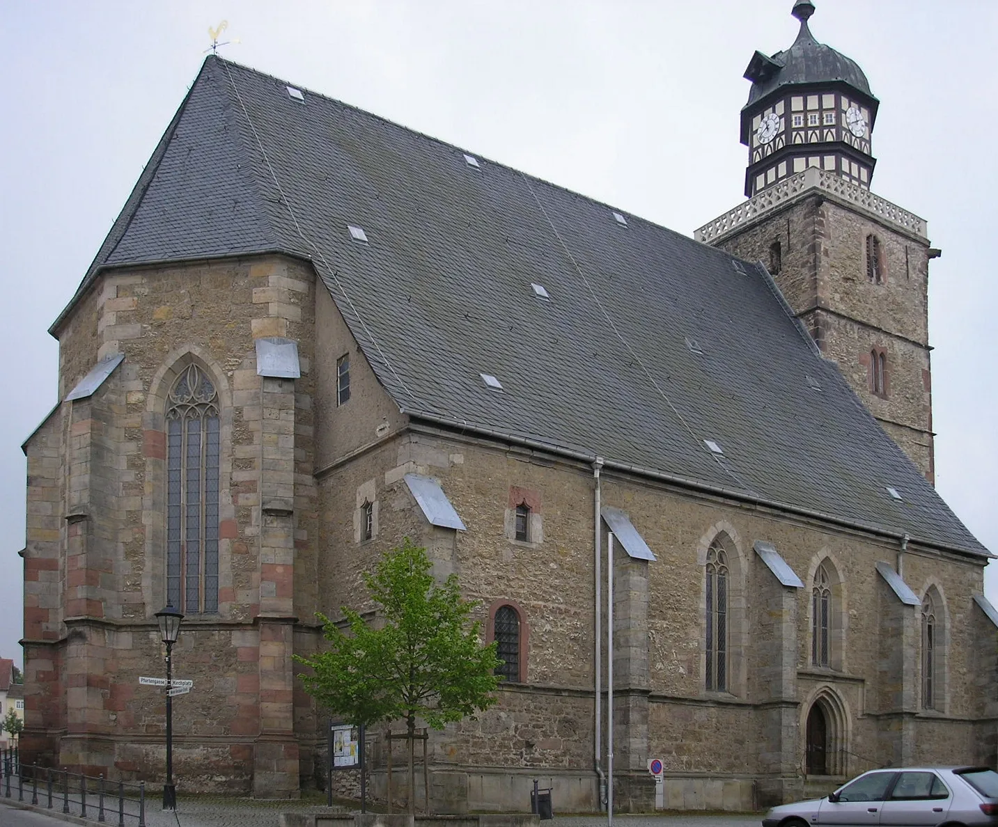
MarbachVillageMarbach is a quaint village with scenic beauty and traditional architecture.
56 km
56 km
HutzelfeuerViewpointHutzelfeuer is a unique local tradition celebrated in the Rhön Mountains with bonfires and music.
65 km
65 km
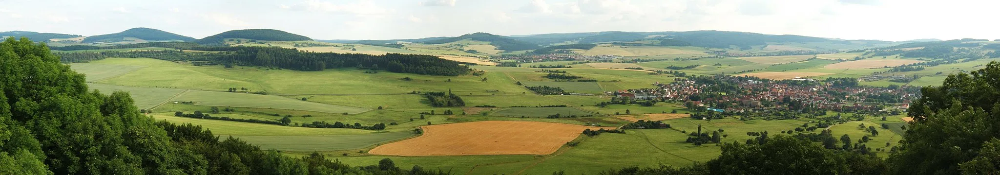
Steinhauk453 mPeakSteinhauk provides delightful panoramic views of the Rhön Mountains and its picturesque countryside.
74 km
74 km
HildersVillageHilders is a charming town nestled amidst the heart of the beautiful Rhön Mountains, offering a scenic conclusion to the Wasserkuppe Ride.
74 km
74 km
Finish: Hilders Village centerHilders: Cycling paradise in picturesque Hilders
Cycling routes from Hilders:
Cycling routes nearby: