Rhön Cycle Route
A road cycling route starting from Hilders
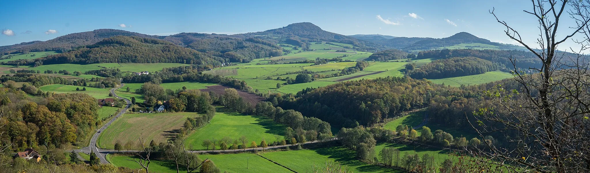
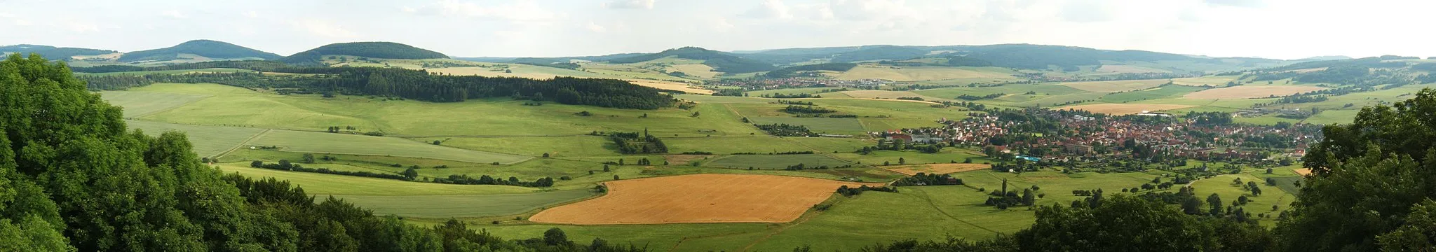
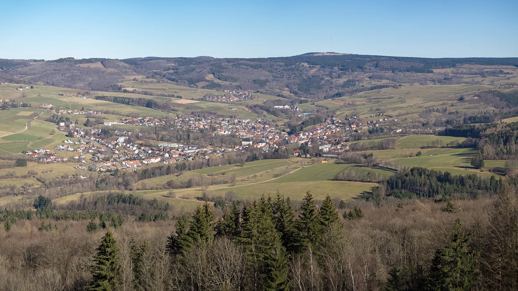
Breathtaking views of the Rhön Mountains
Map
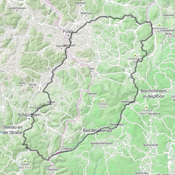
The Rhön Cycle Route takes you on a scenic journey through the stunning Rhön Mountains in Germany. With a total distance of 147 km and an ascent of 2061 meters, this road route is suitable for experienced cyclists. The route offers breathtaking views of the mountain ranges and picturesque valleys. Cycling enthusiasts will be delighted by the challenging climbs and exhilarating descents. Along the way, highlights include Wickers, known for its charming traditional architecture, and Rodenbacher Küppel, a hill with panoramic views. The route concludes in Hilders, a charming town nestled in the Rhön Mountains.
road
147 km
2061 m
Tough
Route profile
Highlights on the route
0 km
0 km
Start: Hilders Village centerHilders: Cycling paradise in picturesque Hilders
Hilders, located in Kassel, Germany, is a beautiful locality with stunning scenery perfect for road and gravel cycling. The region offers a variety of terrain, from rolling hills to challenging climbs, making it suitable for cyclists of all levels. One famous cycling spot in the area is Wasserkuppe, the highest mountain in Hesse, which attracts cyclists from all over to test their skills on its challenging slopes. With its picturesque landscapes and well-maintained roads, Hilders is a great destination for both cycling enthusiasts and tourists.4 km
4 km
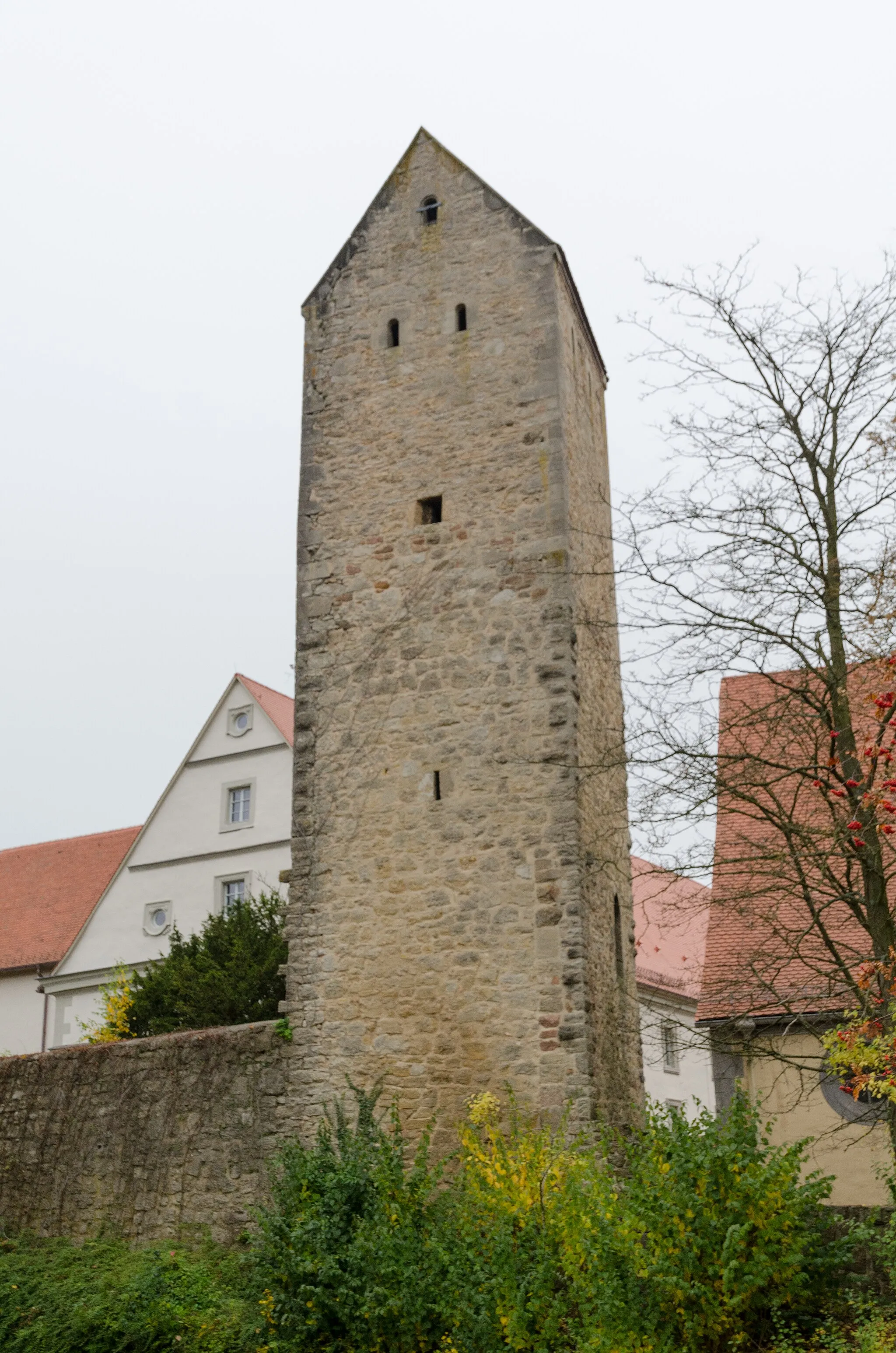
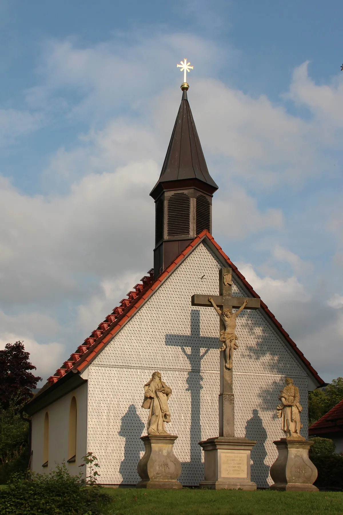
WickersVillageWickers is a lovely village renowned for its half-timbered houses and idyllic countryside.
11 km
11 km
Schafstein832 mPeakSchafstein offers an extraordinary panoramic view of the Rhön Mountains, making it a must-stop.
22 km
22 km
Rodenbacher Küppel680 mPeakRodenbacher Küppel provides stunning vistas over the surrounding landscapes.
32 km
32 km
WildfleckenVillageWildflecken is a picturesque village surrounded by dense forests and scenic trails.
39 km
39 km
RiedenbergVillageRiedenberg is known for its charming timber-framed houses and beautiful countryside.
60 km
60 km
AltengronauVillageAltengronau is a quaint village with a rich history and splendid natural surroundings.
72 km
72 km
Kahler Berg416 mPeakKahler Berg showcases breathtaking views of the Rhön Mountains and nearby valleys.
80 km
80 km
Waizenberg328 mPeakWaizenberg offers stunning panoramas of the surrounding hills and forests.
85 km
85 km
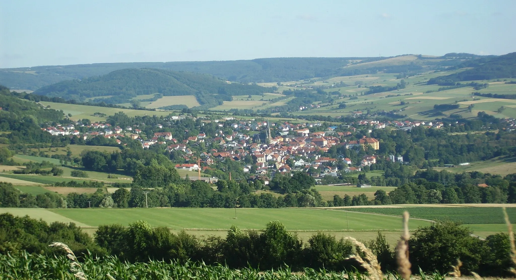
SchlüchternTownSchlüchtern is a charming town nestled amidst picturesque landscapes and boasts an idyllic old town.
93 km
93 km
Huttener Berg507 mPeakHuttener Berg provides magnificent views of the Rhön Mountains and is a haven for nature enthusiasts.
106 km
106 km
DorfbornVillageDorfborn features beautiful hiking trails and lovely views of the Rhön Mountains.
114 km
114 km
BronnzellVillageBronnzell is a small village with a peaceful atmosphere and quaint architecture.
125 km
125 km
Hesselberg323 mPeakHesselberg offers outstanding panoramic views of the Rhön Mountains and the surrounding landscape.
139 km
139 km
Großer Grubenhauck642 mPeakGroßer Grubenhauck is a hiker's paradise, with stunning vistas and lush greenery.
148 km
148 km
HildersVillageHilders is a charming town nestled in the heart of the Rhön Mountains, offering a perfect end to your cycling adventure.
147 km
147 km
Finish: Hilders Village centerHilders: Cycling paradise in picturesque Hilders
Cycling routes from Hilders:
Cycling routes nearby: