Gravel Adventure: Hilders Steinerner Torbogen Loop
A gravel cycling route starting from Hilders
Embark on a thrilling gravel cycling journey to the Steinerner Torbogen (Stone Portal) near Hilders.
Map
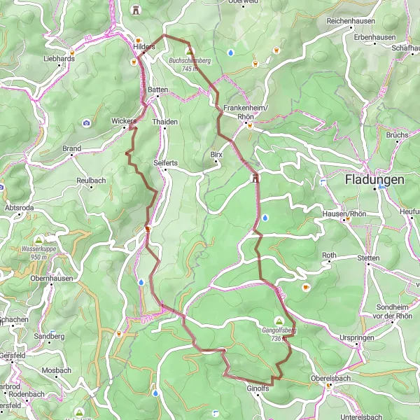
This gravel cycling route will take you off the beaten path, providing an adventurous and immersive experience. Starting from Hilders, the route covers a distance of 43 km, with a challenging ascent of 1092 meters. You will have the opportunity to explore the stunning natural landscapes surrounding the town, including the Grabenberg hill and Hoher Dentschberg mountain. The highlight of the route is the Steinerner Torbogen, a stone arch that stands as a natural monument of geological significance. Overall, this route offers a unique and exciting adventure for gravel cycling enthusiasts.
gravel
43 km
1092 m
Tough
Route profile
Highlights on the route
0 km
0 km
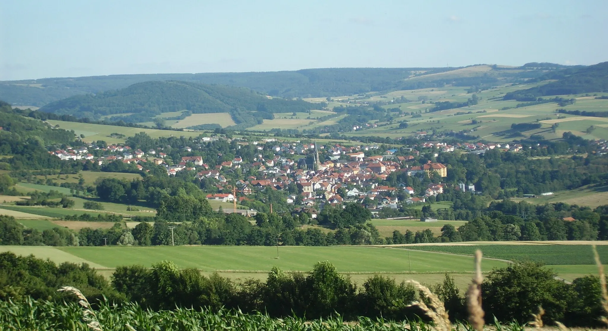
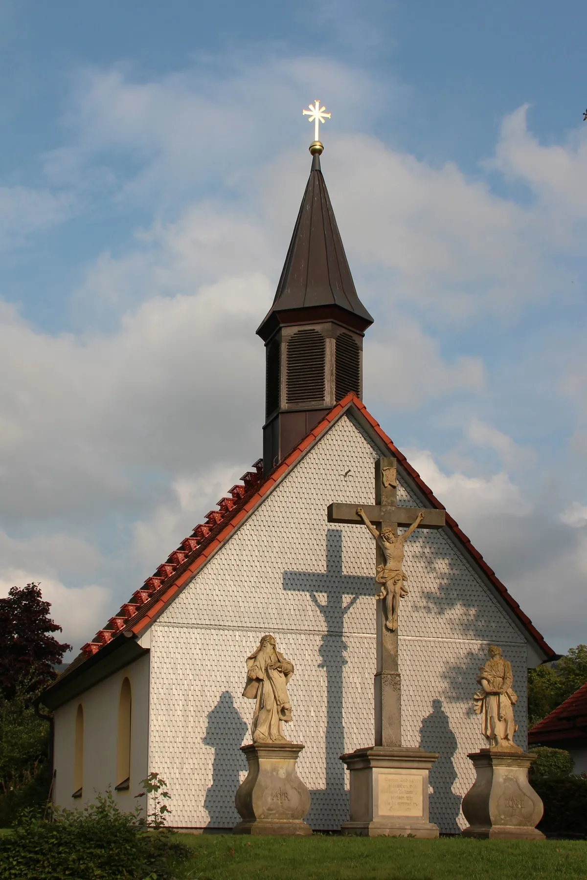
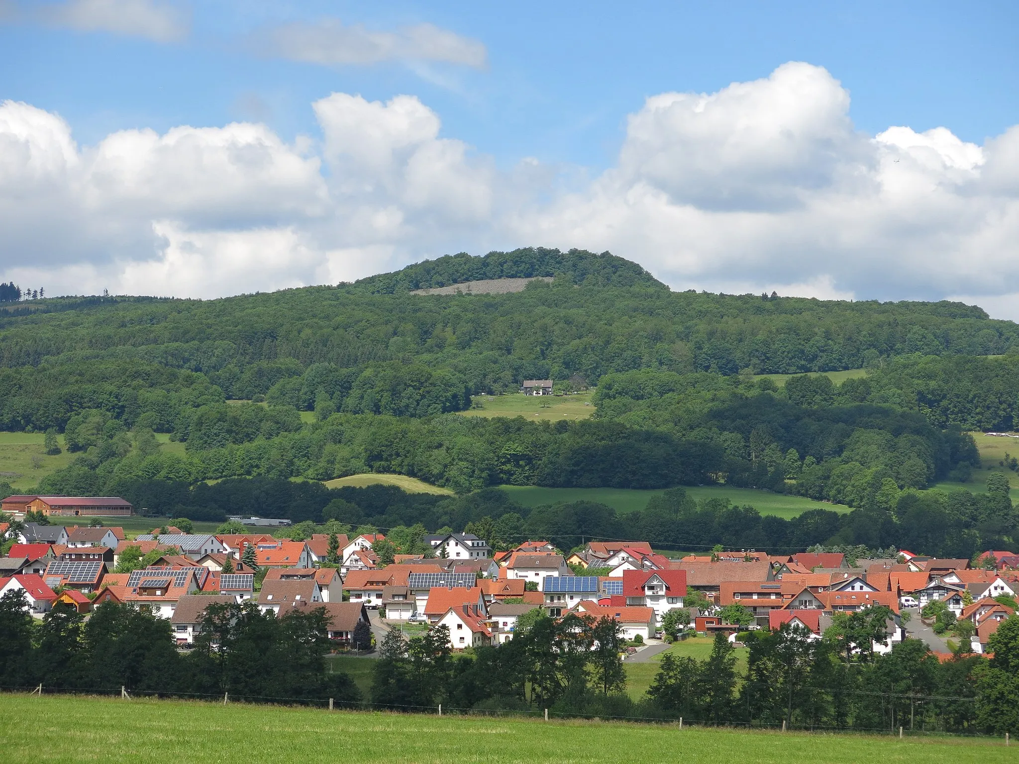
Start: Hilders Village centerHilders: Cycling paradise in picturesque Hilders
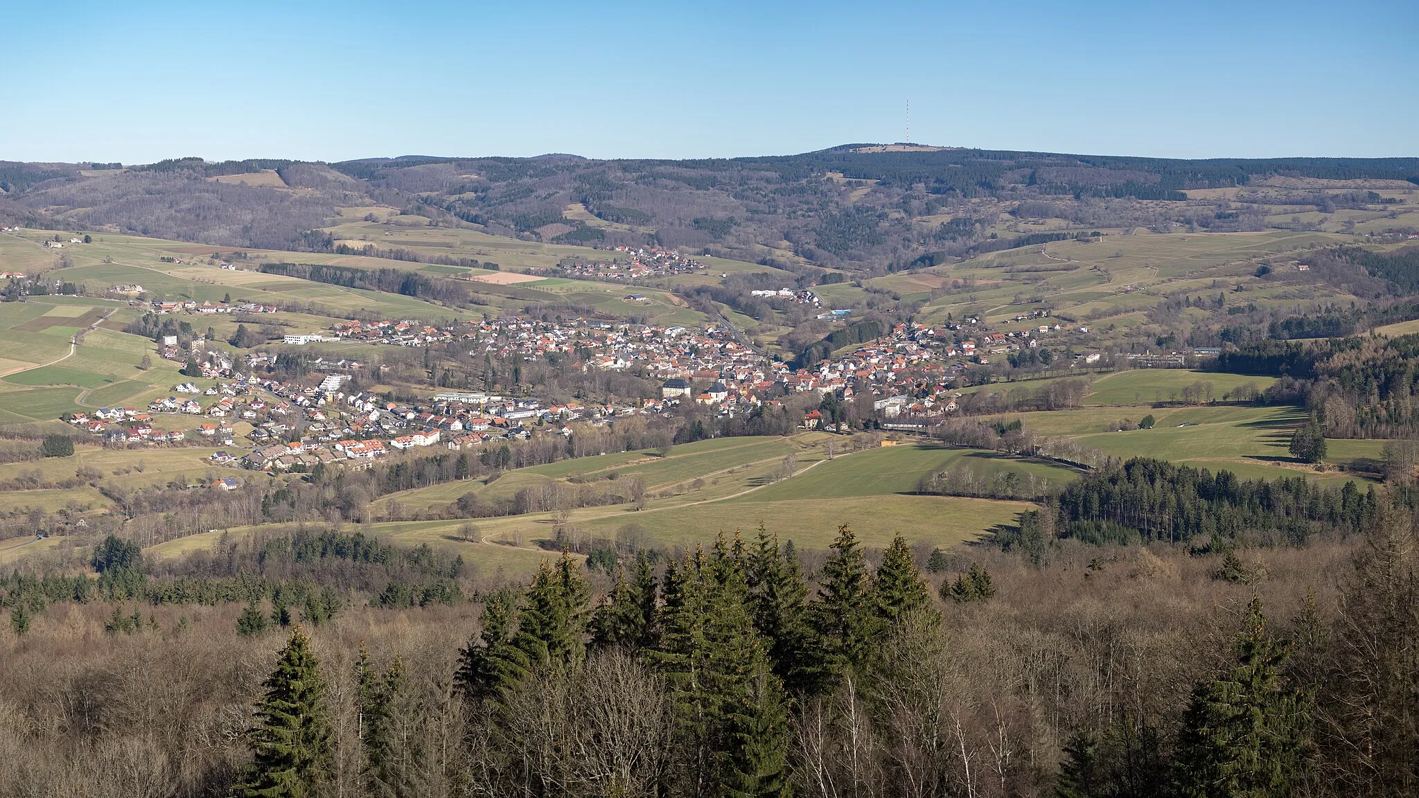
Hilders, located in Kassel, Germany, is a beautiful locality with stunning scenery perfect for road and gravel cycling. The region offers a variety of terrain, from rolling hills to challenging climbs, making it suitable for cyclists of all levels. One famous cycling spot in the area is Wasserkuppe, the highest mountain in Hesse, which attracts cyclists from all over to test their skills on its challenging slopes. With its picturesque landscapes and well-maintained roads, Hilders is a great destination for both cycling enthusiasts and tourists.9 km
9 km
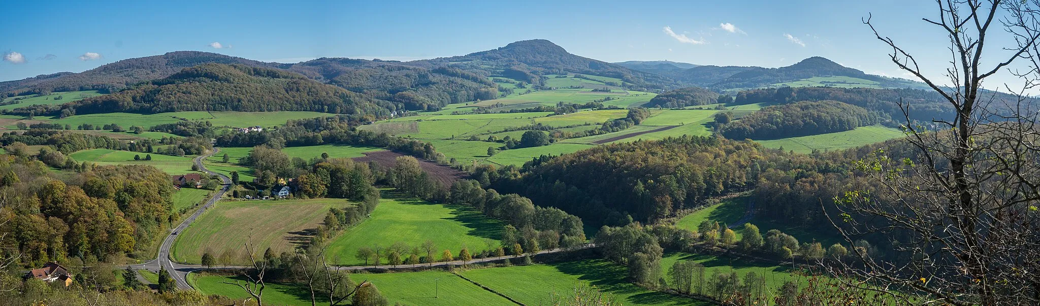
Grabenberg796 mPeakClimb up the Grabenberg hill and enjoy panoramic views of the Rhön Mountains.
10 km
10 km
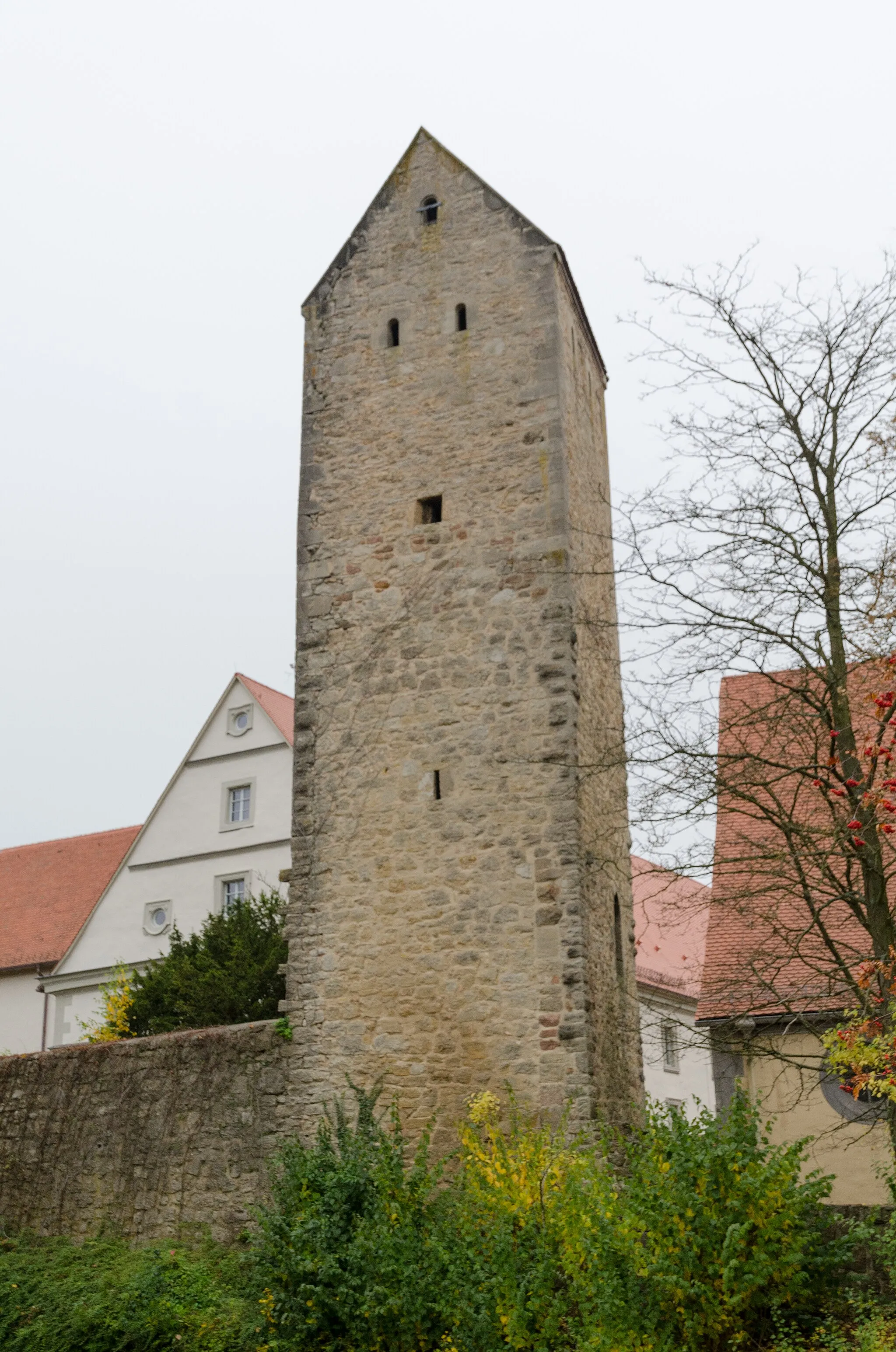
Steinerner TorbogenCastle RuinsWitness the impressive natural formation of the Steinerner Torbogen, a monumental stone arch.
22 km
22 km
GinolfsVillagePass through Ginolfs, a charming village known for its traditional timber-framed houses.
26 km
26 km
Hoher Dentschberg777 mPeakAdmire the scenic beauty of the Hoher Dentschberg mountain and its surrounding landscapes.
33 km
33 km
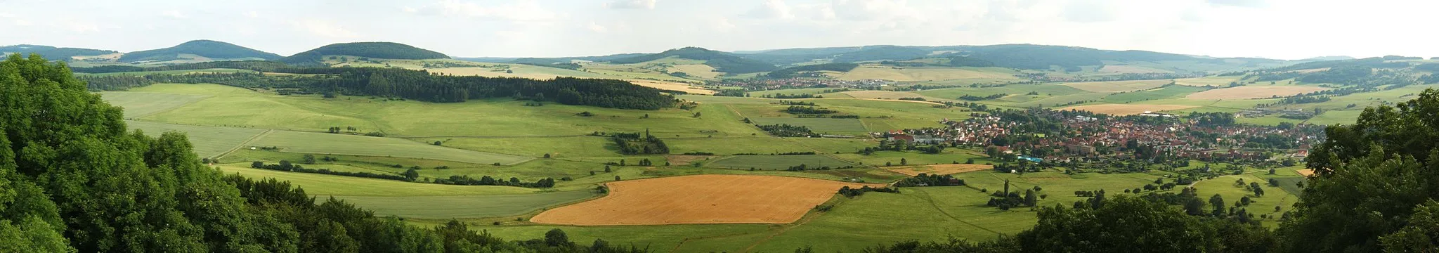
WüstensachsenVillageExplore Wüstensachsen, a rural village with tranquil charm and idyllic countryside.
36 km
36 km
Steinberg620 mPeakMarvel at the natural beauty of the Steinberg, a picturesque hill with panoramic views.
41 km
41 km
BattenVillagePass by Batten, a small village known for its traditional half-timbered houses.
43 km
43 km
Finish: Hilders Village centerHilders: Cycling paradise in picturesque Hilders
Cycling routes from Hilders:
Cycling routes nearby: