Immerse yourself in the beauty of Fladungen's cycling routes
Cycling routes from Fladungen
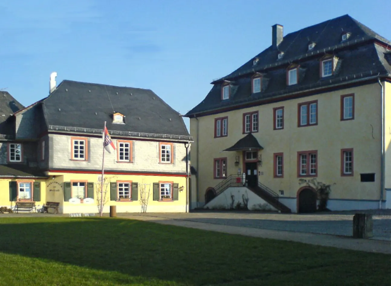
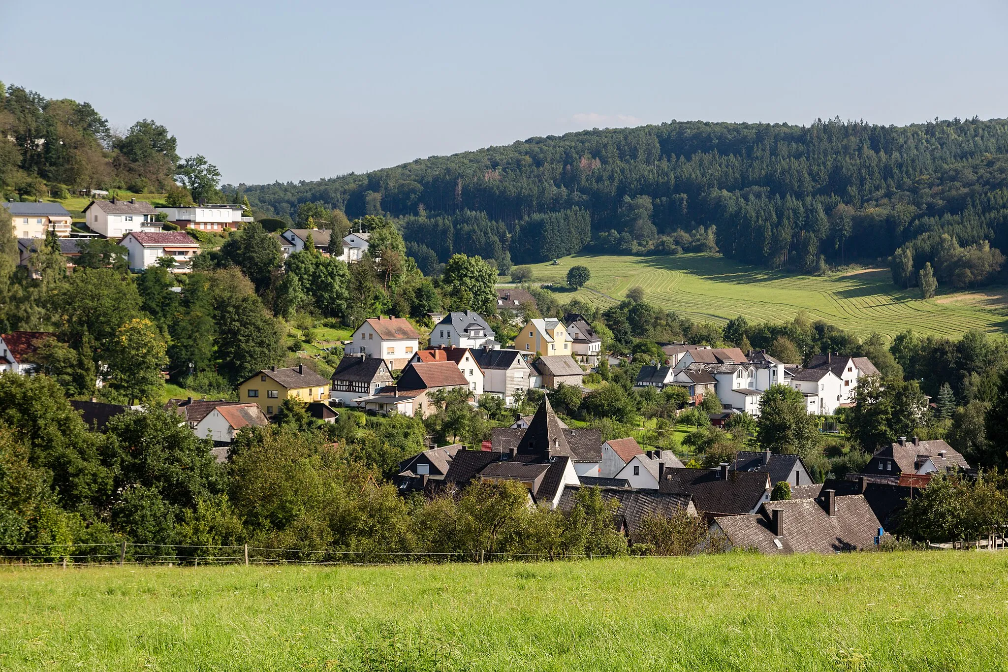
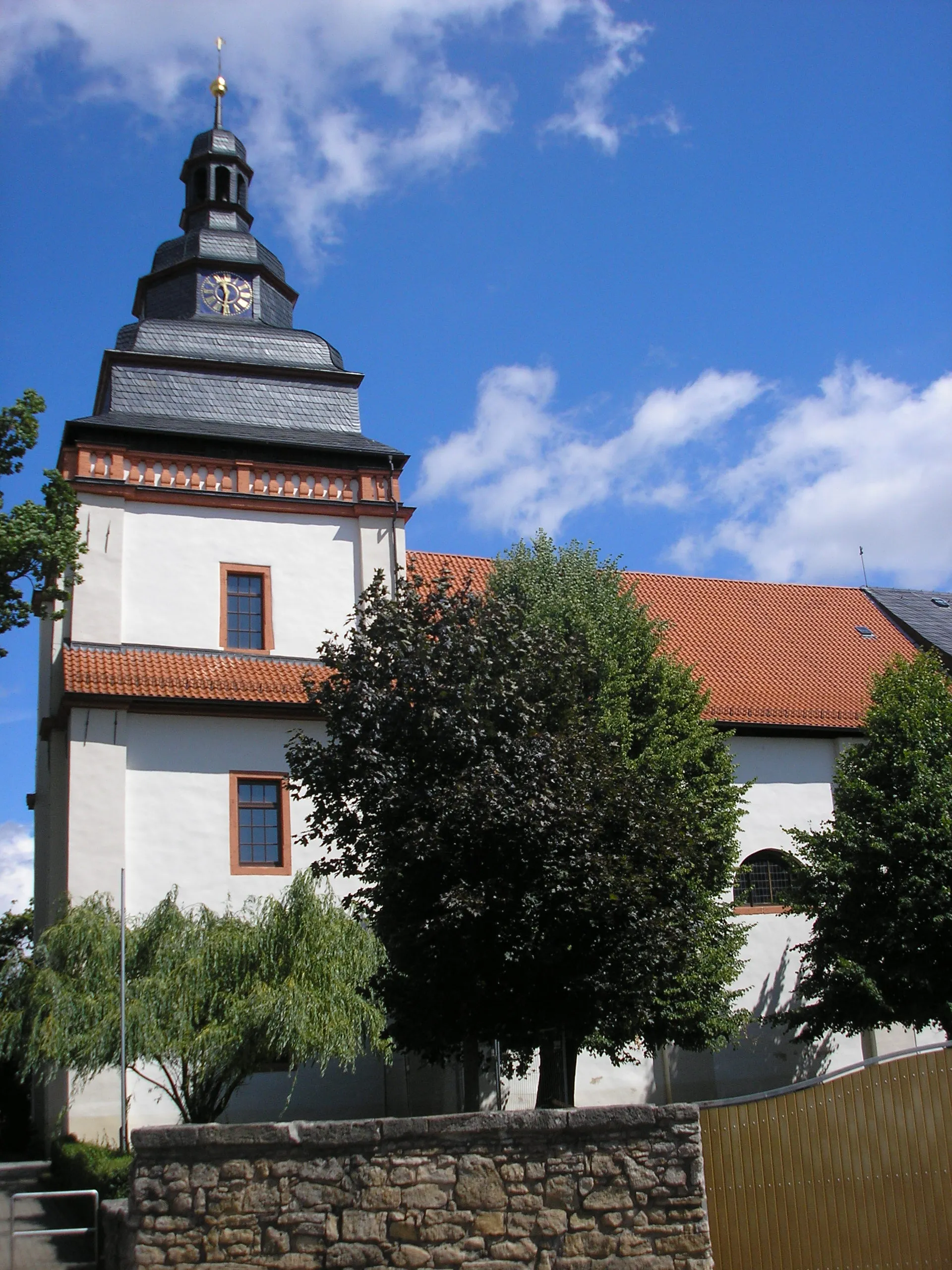
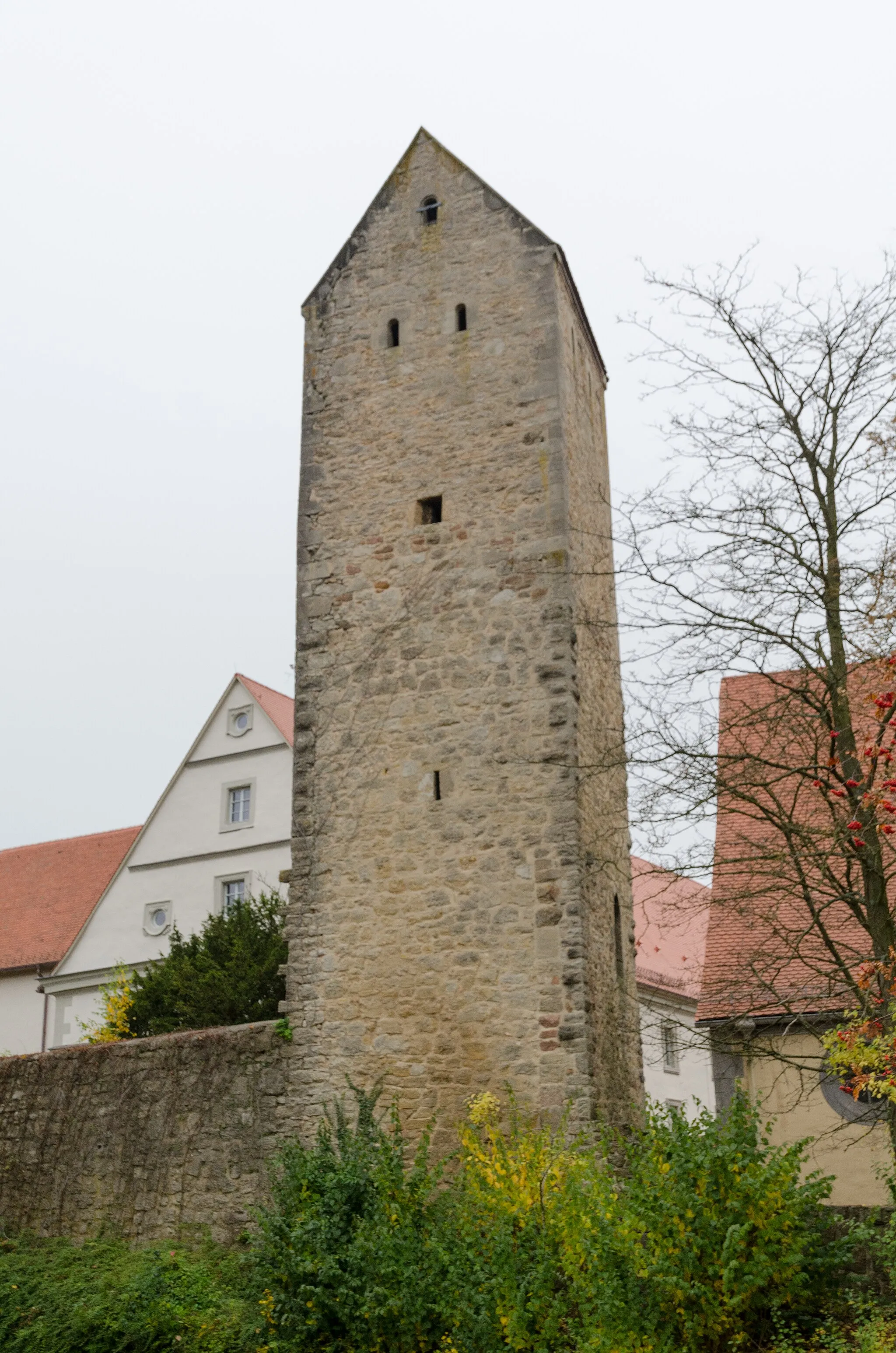
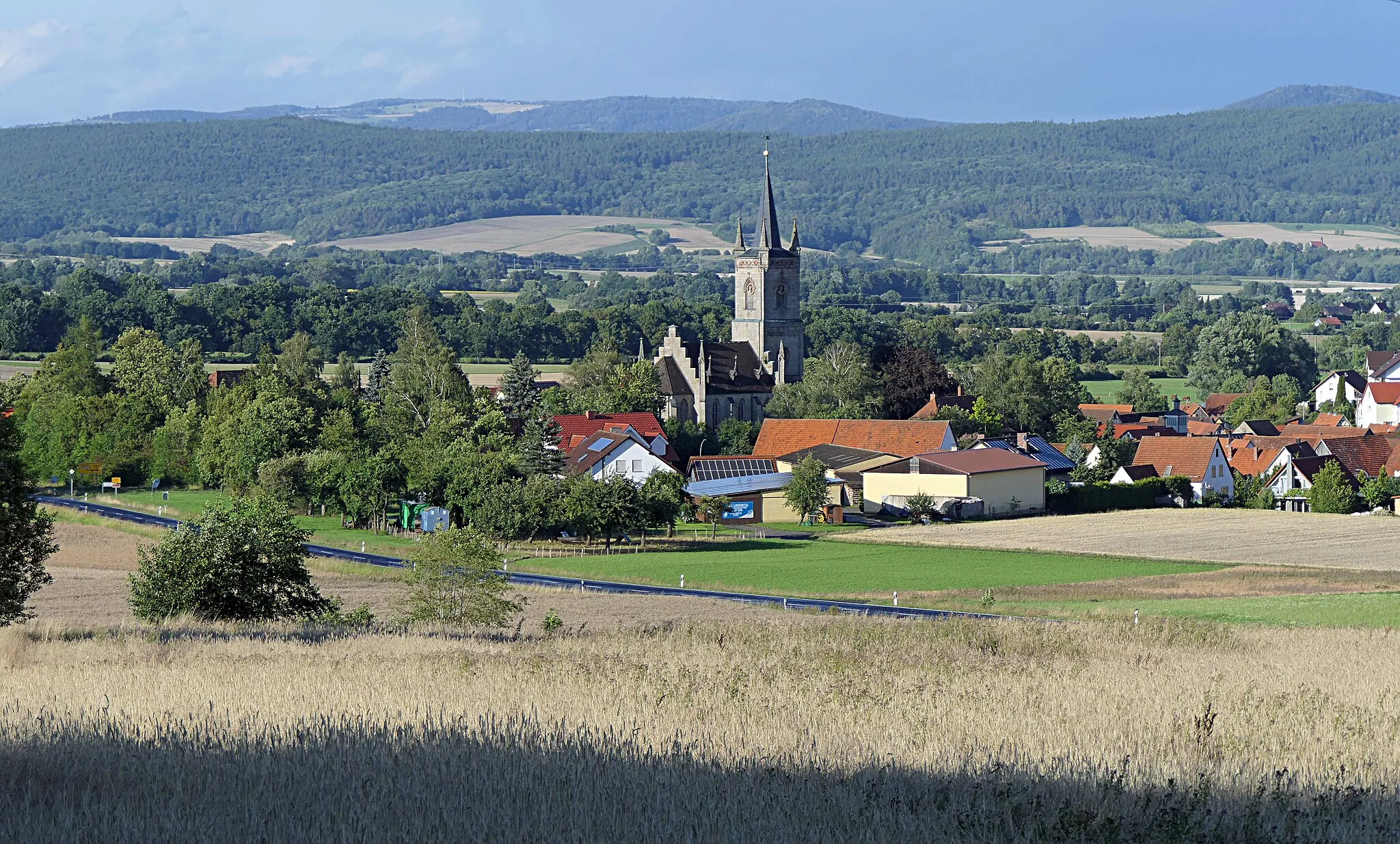
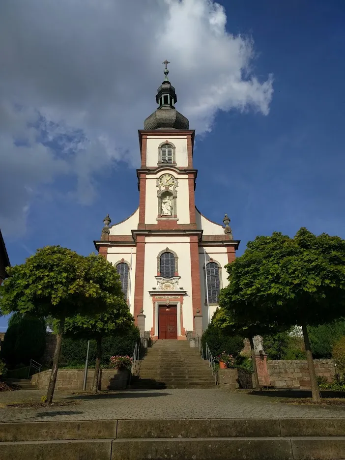
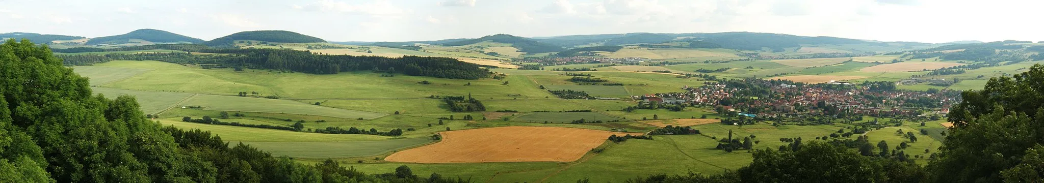
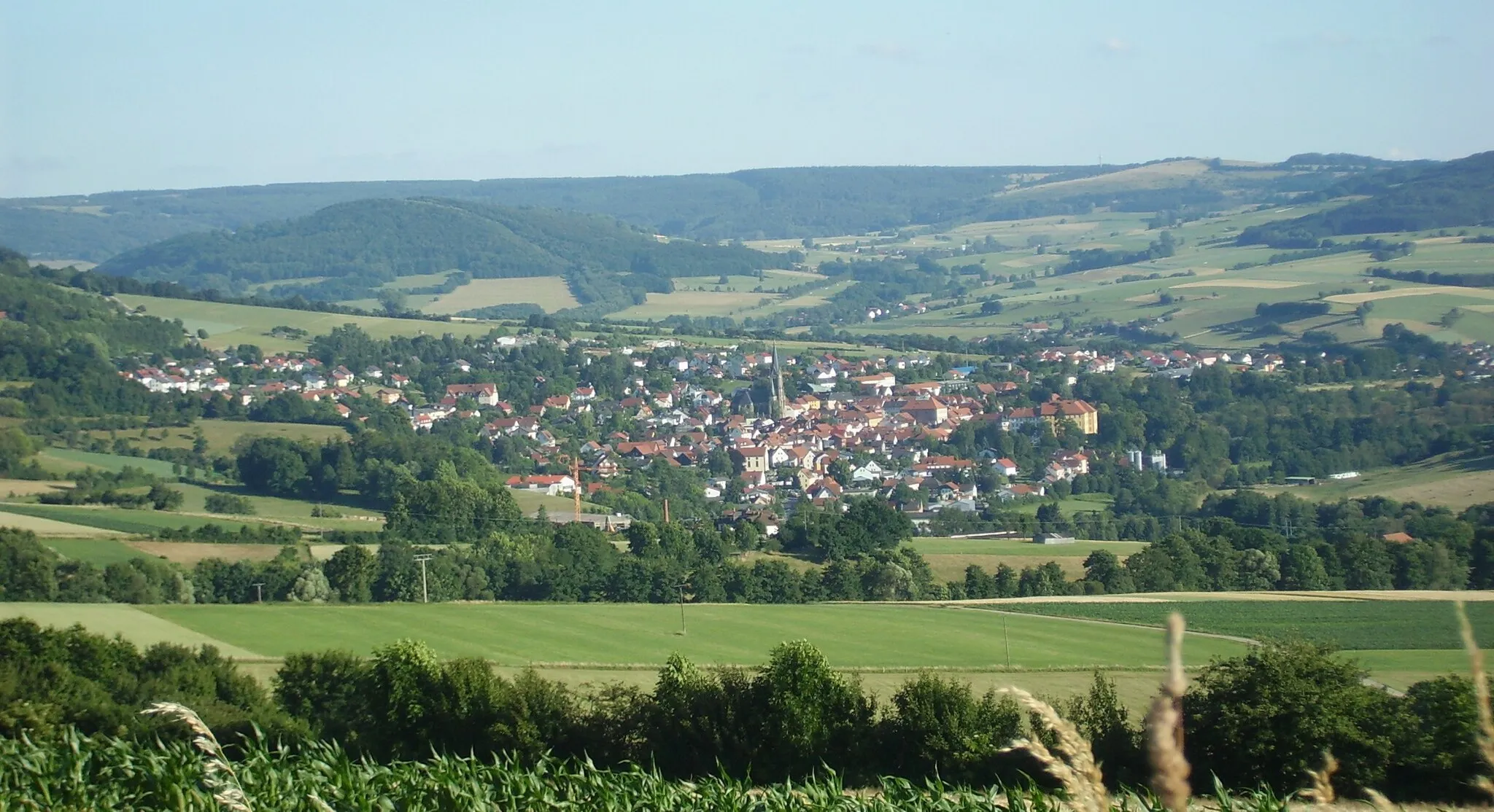
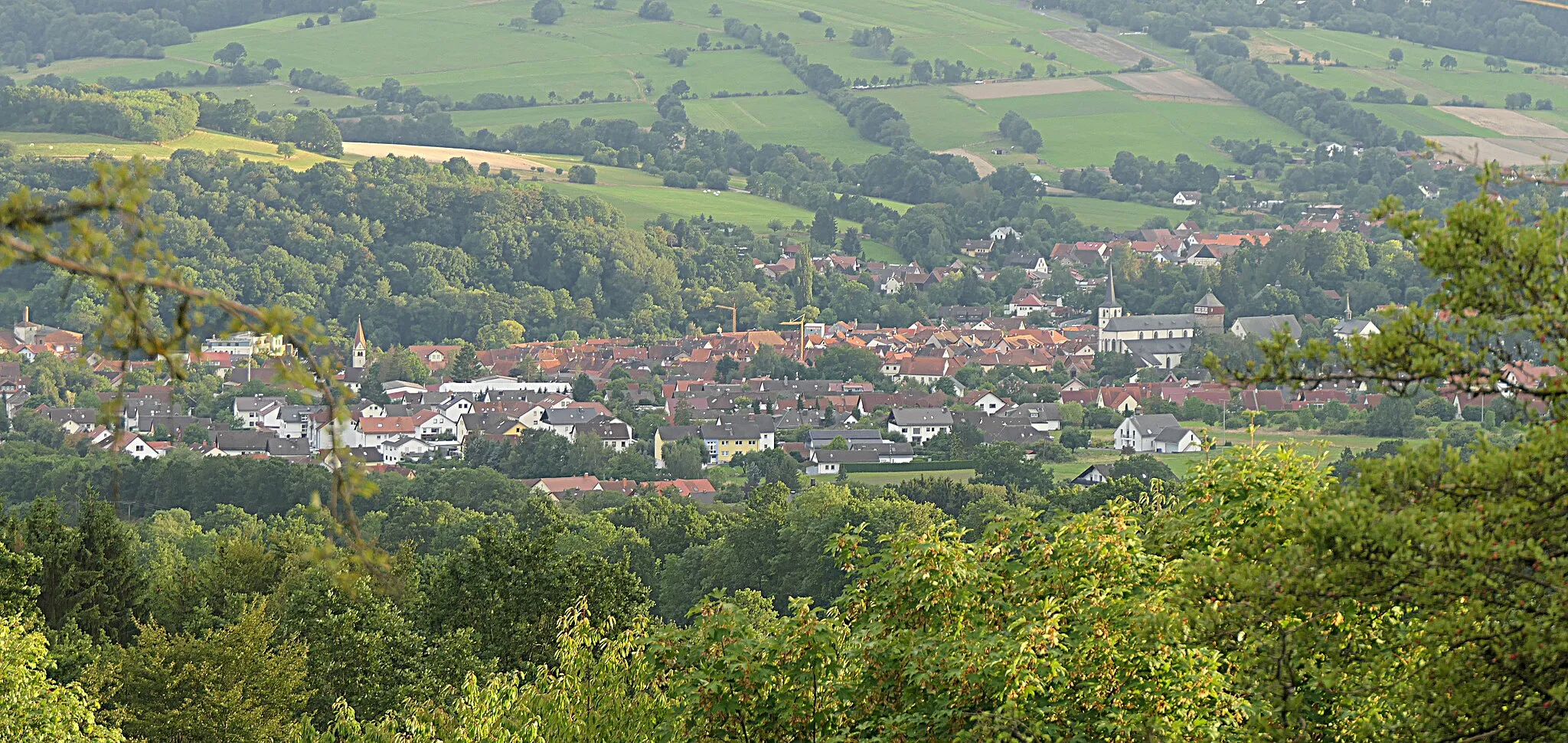
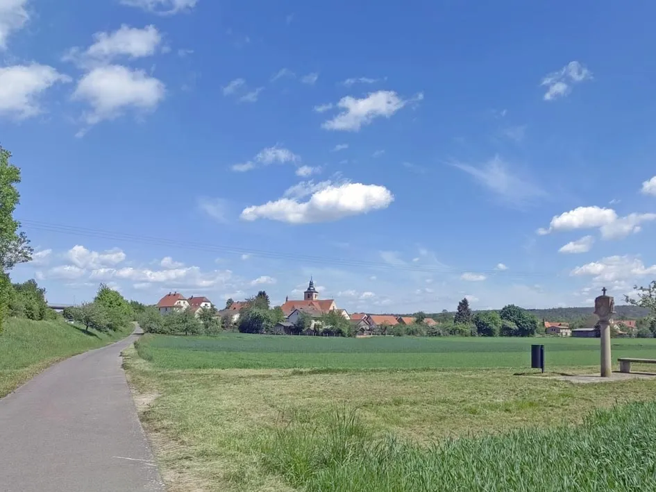
Fladungen is a municipality located in the Unterfranken region of Germany. Cyclists in Fladungen can enjoy a variety of cycling routes that showcase the picturesque landscapes and charming Bavarian countryside. The area is known for its rolling hills, dense forests, and scenic river views, offering a mix of challenging climbs and relaxing flats. Cyclists can also explore the popular Rhön Biosphere Reserve, a haven for outdoor enthusiasts. Overall, Fladungen provides a cyclist-friendly environment with diverse routes and stunning natural scenery.
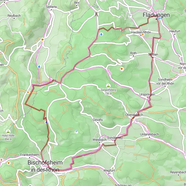
Gravel Adventure in the Rhön

Embark on a thrilling gravel adventure through the diverse landscapes of the Rhön region.
Experience the thrill of gravel cycling with this 56-kilometer route that takes you through the stunning landscapes of the Rhön region. The gravel roads wind through rolling hills, ancient forests, and picturesque villages, offering a unique and immersive cycling experience. Along the way, you'll encounter historic landmarks, tranquil natural settings, and breathtaking viewpoints. This route is perfect for adventurous cyclists looking to explore the hidden gems of the Rhön region.
The Rhön Loop
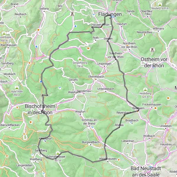
Embark on a thrilling road cycling journey through the scenic landscapes of the Rhön region.
The Rhön Loop is a road cycling route that covers 68 kilometers with 1263 meters of ascent. This scenic route takes you through picturesque towns and villages, offering stunning views of the Rhön region along the way. The diverse terrain and challenging climbs make it a perfect route for experienced cyclists seeking adventure and natural beauty.
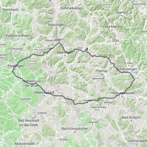
Rhön Grand Tour
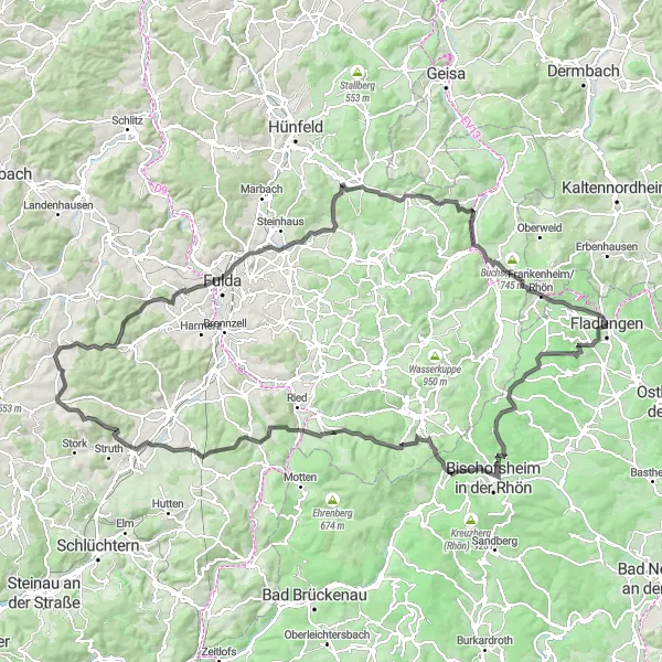
Experience the stunning landscapes of the Rhön region with this challenging road cycling route.
The Rhön Grand Tour is a challenging road cycling route that covers 143 kilometers and includes 2537 meters of ascent. The route takes you through the beautiful Rhön region, known for its stunning landscapes and unique flora and fauna. This epic route offers breathtaking views, historic towns, and picturesque villages along the way. A must-do for experienced cyclists looking for a challenge in a beautiful setting.
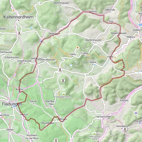
The Rhön Gravel Adventure

A thrilling gravel ride through the scenic Rhön region
Experience the diverse landscapes of the Rhön region on this challenging gravel route. With a total ascent of 1,816 meters over a distance of 74 kilometers, this route promises both stunning views and a demanding workout.
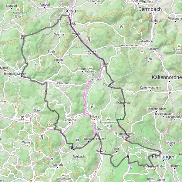
An exciting road cycling route with breathtaking views of Schwarzes Moor
Embark on an unforgettable road cycling adventure to Schwarzes Moor, a unique peat bog known for its striking black color. This 89-kilometer route offers a challenging climb with a total ascent of 1,526 meters, making it ideal for experienced cyclists seeking a thrilling ride.
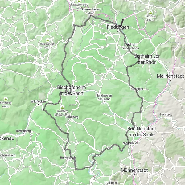
Take on the challenge of the Rhön Adventure Challenge, a thrilling road cycling route through the scenic landscapes of the Rhön region.
The Rhön Adventure Challenge is a road cycling route that covers 113 kilometers and includes 1873 meters of ascent. This challenging route takes you through breathtaking landscapes, quaint villages, and historic sites. With a mix of challenging climbs, thrilling descents, and panoramic views, this route offers a true cycling adventure. Embark on this journey and test your endurance while immersing yourself in the natural beauty of the Rhön region.
Discover the hidden gravel gems of Rhön
Embark on a 49-kilometer gravel adventure through the lesser-known wonders of the Rhön region. With a total ascent of 827 meters, this route offers a moderate challenge, perfect for cyclists looking to explore off-the-beaten-path trails and enjoy the tranquility of nature.
A scenic gravel ride through the unspoiled landscapes of Rhön
Embark on a 58-kilometer gravel adventure through the untouched nature of the Rhön region. With a manageable ascent of 889 meters, this route is suitable for intermediate cyclists looking to explore off-road trails while enjoying breathtaking views of the countryside.

Immerse yourself in the beauty of the Rhön region with this scenic gravel cycling route.
Discover the hidden gems of the Rhön region with this 59-kilometer gravel cycling route. The route takes you through diverse landscapes, including dense forests, rolling hills, and quaint villages. Experience the thrill of riding on gravel paths while enjoying breathtaking views and peaceful solitude. This route is ideal for gravel enthusiasts seeking a memorable outdoor adventure in a unique and picturesque setting.
An epic road cycling route with breathtaking views at Rhönblick
Prepare for an epic road cycling adventure along the scenic Rhönblick route. Covering a distance of 131 kilometers with a total ascent of 1,649 meters, this challenging route is perfect for experienced cyclists looking for a true test of their endurance and skills.
Cycling routes nearby:


Nearby regions: