Rhön Adventure Challenge
A road cycling route starting from Fladungen
Take on the challenge of the Rhön Adventure Challenge, a thrilling road cycling route through the scenic landscapes of the Rhön region.
Map
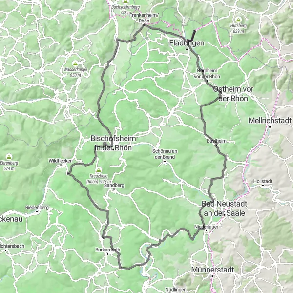
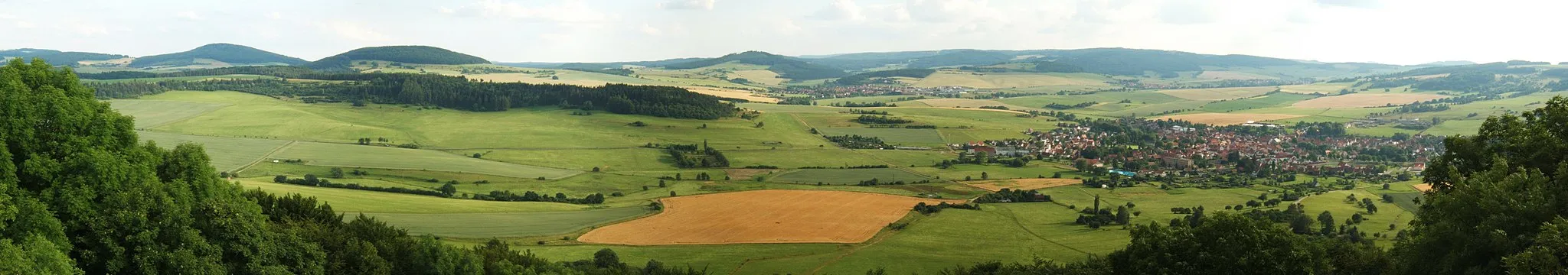
The Rhön Adventure Challenge is a road cycling route that covers 113 kilometers and includes 1873 meters of ascent. This challenging route takes you through breathtaking landscapes, quaint villages, and historic sites. With a mix of challenging climbs, thrilling descents, and panoramic views, this route offers a true cycling adventure. Embark on this journey and test your endurance while immersing yourself in the natural beauty of the Rhön region.
road
113 km
1873 m
Tough
Route profile
Highlights on the route
0 km
0 km
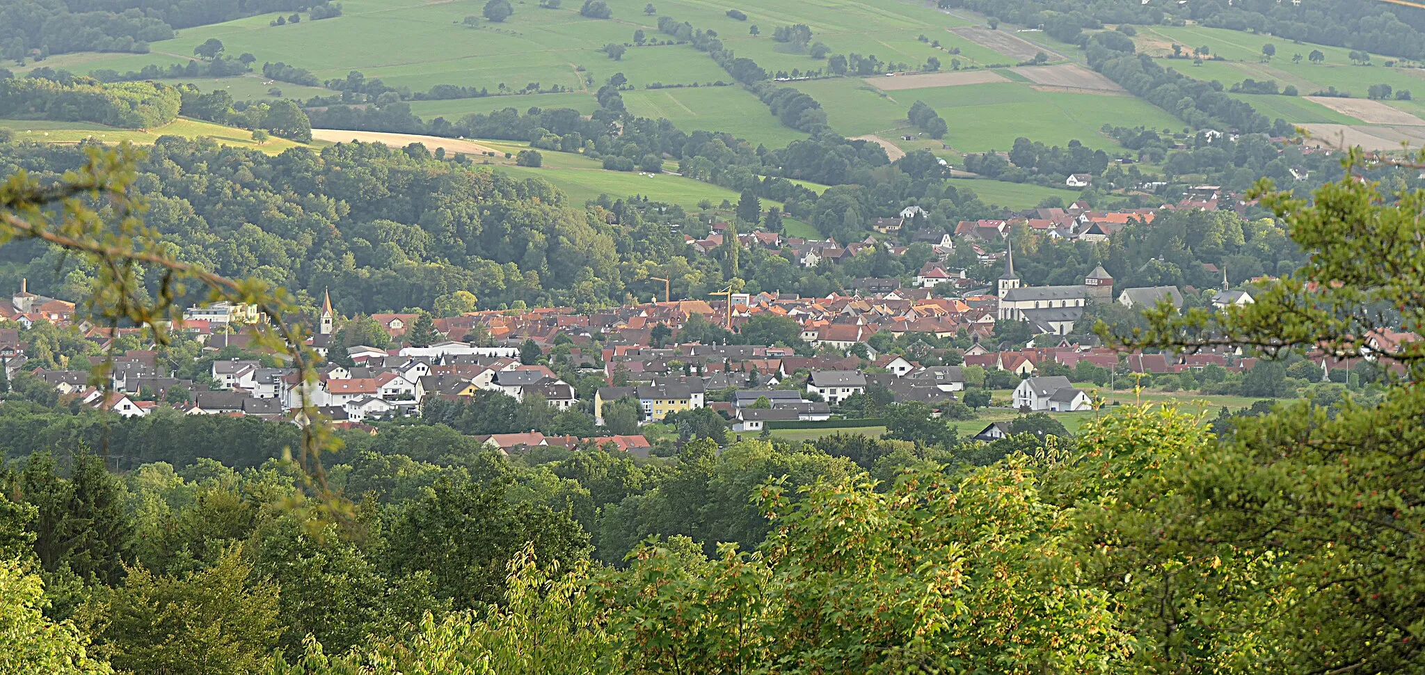
Start: Brüchs Village centerFladungen: Immerse yourself in the beauty of Fladungen's cycling routes
Fladungen is a municipality located in the Unterfranken region of Germany. Cyclists in Fladungen can enjoy a variety of cycling routes that showcase the picturesque landscapes and charming Bavarian countryside. The area is known for its rolling hills, dense forests, and scenic river views, offering a mix of challenging climbs and relaxing flats. Cyclists can also explore the popular Rhön Biosphere Reserve, a haven for outdoor enthusiasts. Overall, Fladungen provides a cyclist-friendly environment with diverse routes and stunning natural scenery.2 km
2 km
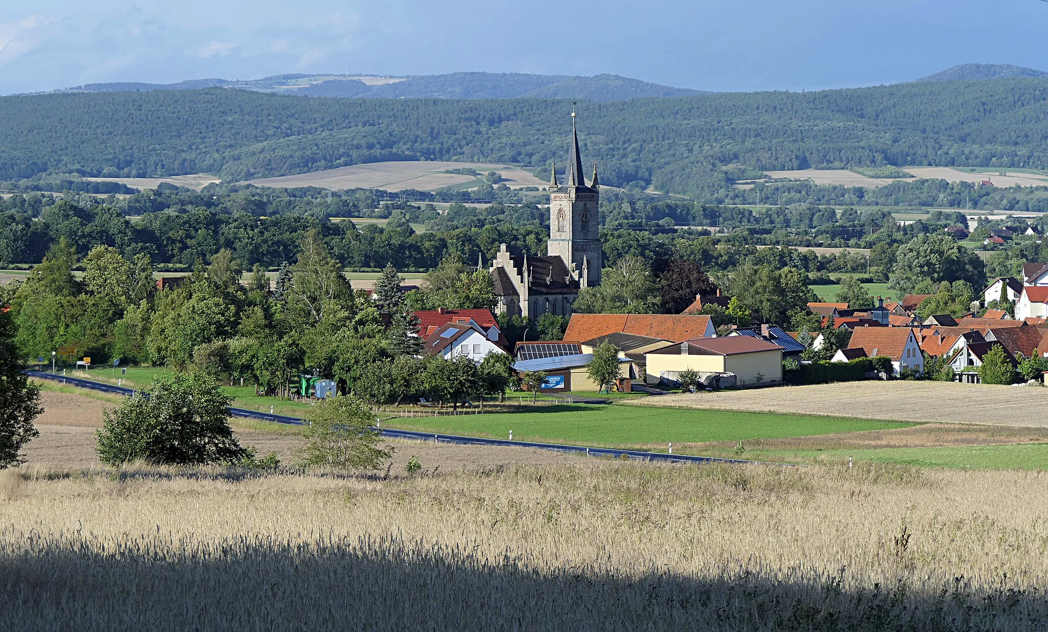
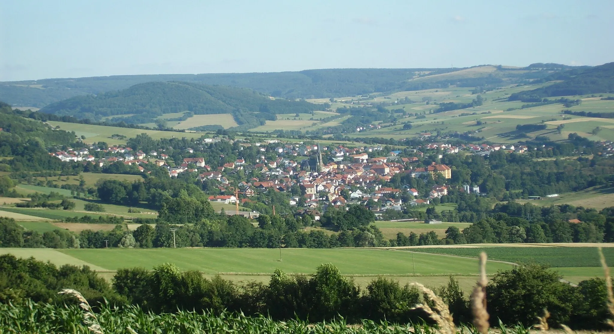
FladungenTownFladungen, the starting point of the route, is a medieval town with well-preserved architecture and a lively atmosphere during its colorful festivals.
13 km
13 km
Altväter384 mPeakAltväter is a quaint village known for its picturesque landscapes and traditional rural charm, offering a peaceful and idyllic setting for a rest stop.
21 km
21 km
Gresselberg385 mPeakGresselberg features a challenging climb with stunning views at the summit, providing a thrilling reward for your efforts.
35 km
35 km
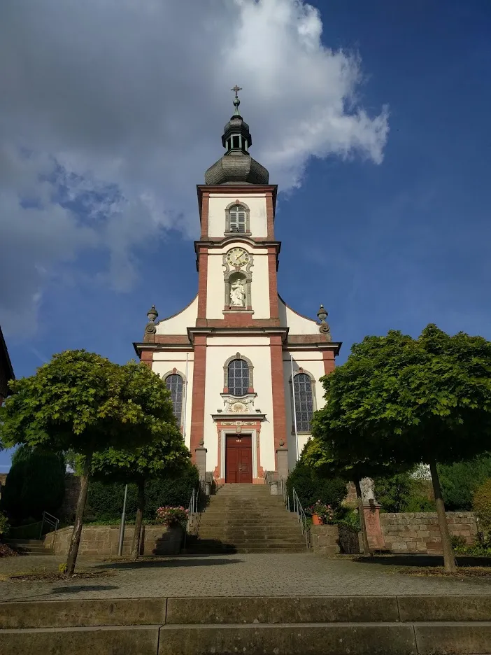
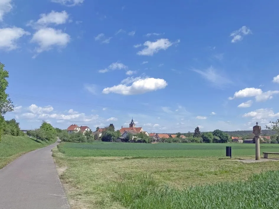
HohenrothVillageHohenroth is a historic town with charming half-timbered houses and a vibrant culture, making it worth exploring during your cycling journey.
45 km
45 km
Roth an der SaaleVillageRoth an der Saale is a picturesque village with a beautiful river and stunning vistas, offering an excellent place for a break or a picnic.
55 km
55 km
FrauenrothVillageFrauenroth is a hidden gem known for its historic buildings, beautiful landscapes, and traditional rural charm.
69 km
69 km
Feuerberg (Rhön)832 mPeakFeuerberg is a popular cycling spot that offers a challenging climb and stunning views of the Rhön landscape from the summit.
80 km
80 km
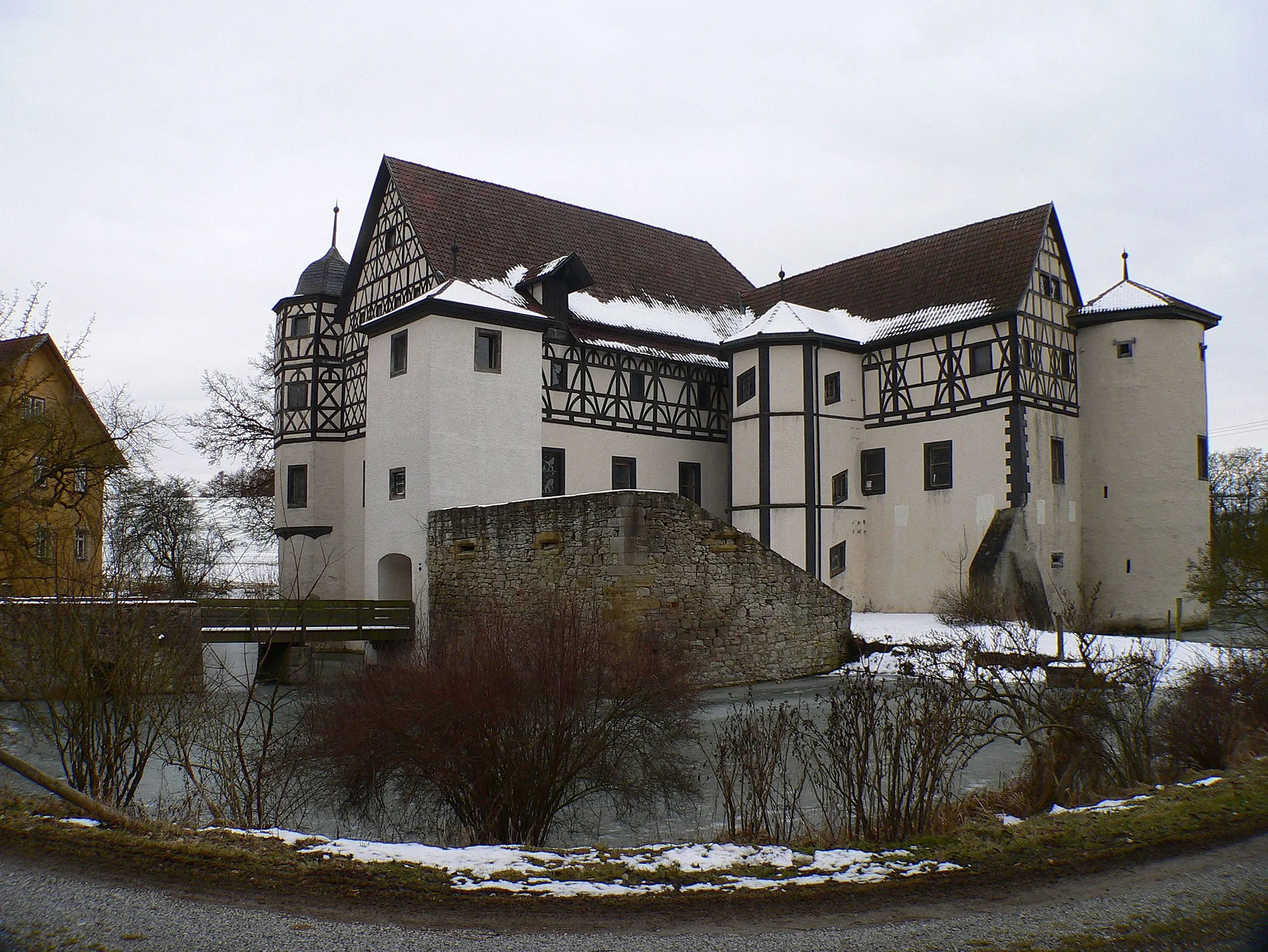
Osterburg714 mCastleOsterburg is a historic castle situated atop a hill, offering panoramic views and a sense of stepping back in time.
91 km
91 km
Ottilienstein846 mPeakOttilienstein is a unique rock formation that provides a photo-worthy backdrop and an opportunity to learn about the geological history of the region.
101 km
101 km
BirxVillageBirx is a small village tucked away in nature, offering a peaceful and serene ambiance for a brief stop along your cycling adventure.
112 km
112 km
Wurmberg548 mPeakWurmberg is known for its challenging climbs and fast descents, making it a favorite among adventurous cyclists.
113 km
113 km
Finish: Brüchs Village centerFladungen: Immerse yourself in the beauty of Fladungen's cycling routes
Cycling routes nearby: