The Gravel Trails of Rhön
A gravel cycling route starting from Fladungen
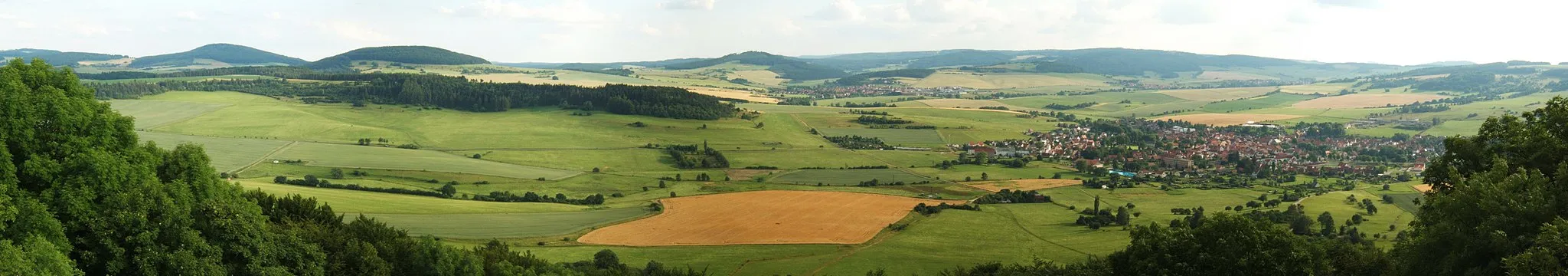
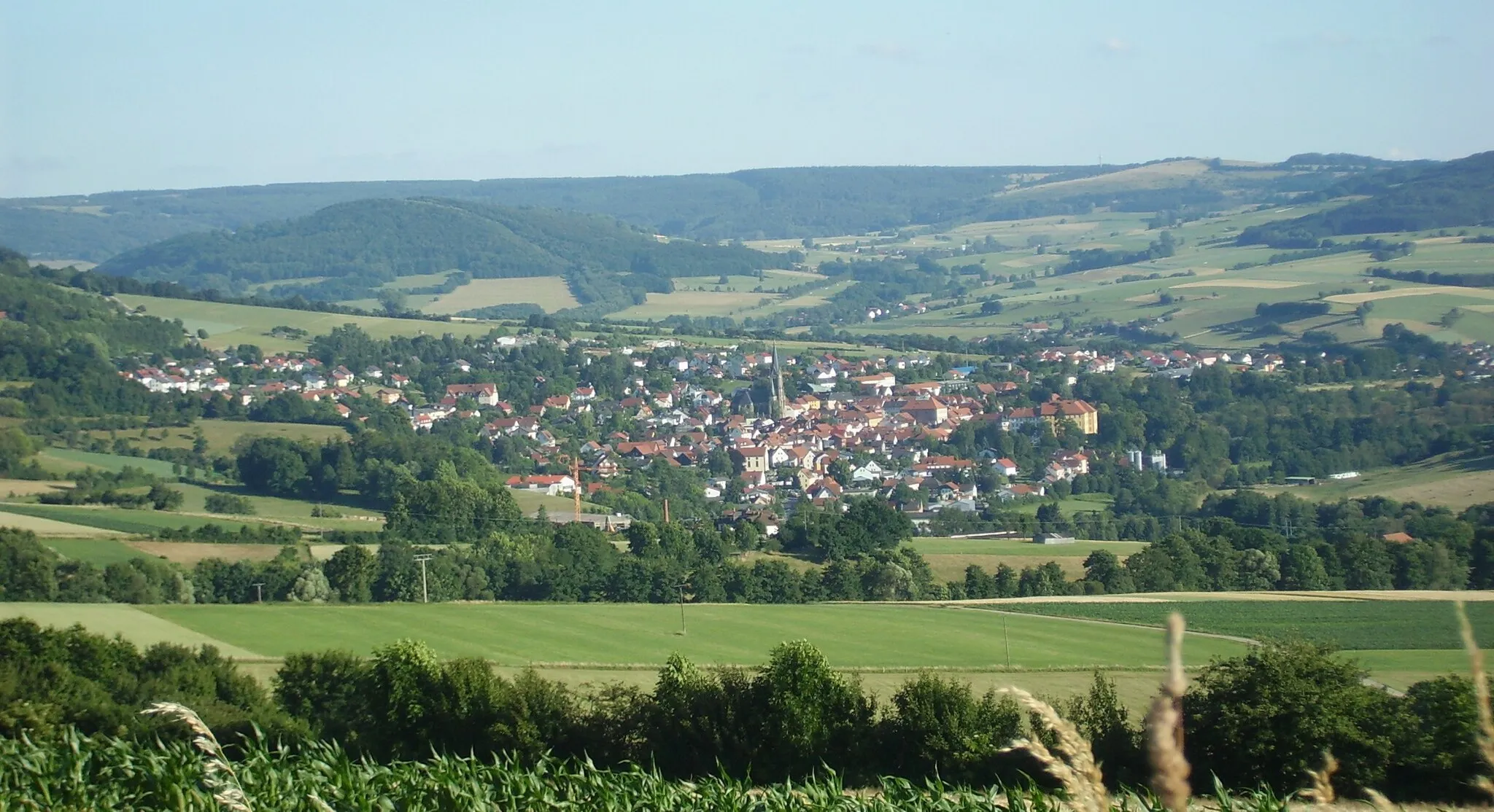
A scenic gravel ride through the unspoiled landscapes of Rhön
Map
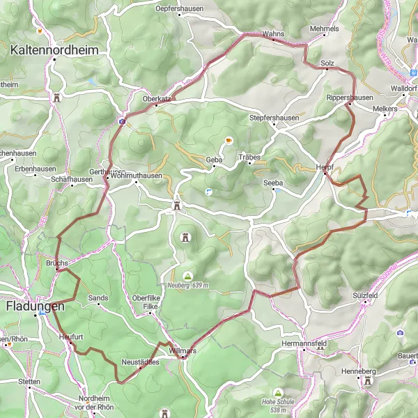
Embark on a 58-kilometer gravel adventure through the untouched nature of the Rhön region. With a manageable ascent of 889 meters, this route is suitable for intermediate cyclists looking to explore off-road trails while enjoying breathtaking views of the countryside.
gravel
58 km
889 m
Tough
Route profile
Highlights on the route
0 km
0 km
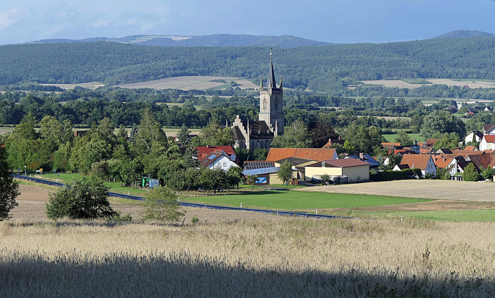
Start: Heufurt Village centerFladungen: Immerse yourself in the beauty of Fladungen's cycling routes
Fladungen is a municipality located in the Unterfranken region of Germany. Cyclists in Fladungen can enjoy a variety of cycling routes that showcase the picturesque landscapes and charming Bavarian countryside. The area is known for its rolling hills, dense forests, and scenic river views, offering a mix of challenging climbs and relaxing flats. Cyclists can also explore the popular Rhön Biosphere Reserve, a haven for outdoor enthusiasts. Overall, Fladungen provides a cyclist-friendly environment with diverse routes and stunning natural scenery.9 km
9 km
Klausberg525 mPeakClimb the challenging Klausberg and enjoy panoramic views of the surrounding hills and forests.
14 km
14 km
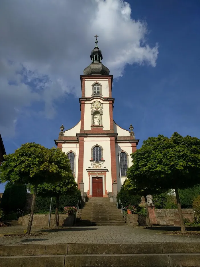
AschenhausenVillageStop by Aschenhausen, a tranquil village known for its quaint half-timbered houses and friendly locals.
19 km
19 km
UnterkatzVillagePass through Unterkatz and marvel at its well-preserved medieval castle ruins.
33 km
33 km
ViehtriftViewpointCycle along the Viehtrift, a scenic trail that winds through meadows and pastures.
40 km
40 km
Dornkopf502 mPeakExplore Dornkopf, a dense forest with mysterious paths and hidden natural treasures.
42 km
42 km
GleimershausenVillageCycle through Gleimershausen, a peaceful village full of traditional Rhön charm.
50 km
50 km
WillmarsVillageAdmire the panoramic views from the summit of Hasenkopf, one of the highest peaks in the area.
55 km
55 km
Hasenkopf514 mPeakDiscover the enchanting landscapes of the Haselkopf Nature Reserve, home to a rich variety of flora and fauna.
58 km
58 km
Finish: Heufurt Village centerFladungen: Immerse yourself in the beauty of Fladungen's cycling routes
Cycling routes nearby: