The Rhön Gravel Adventure
A gravel cycling route starting from Fladungen
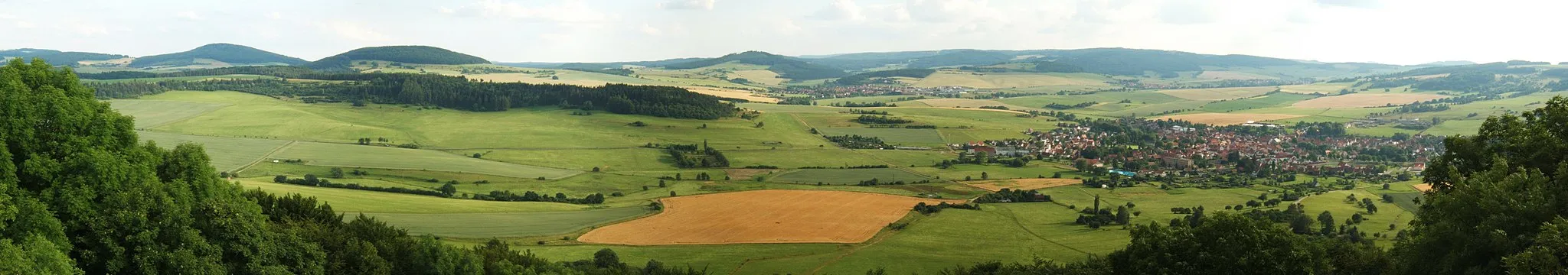
A thrilling gravel ride through the scenic Rhön region
Map

Experience the diverse landscapes of the Rhön region on this challenging gravel route. With a total ascent of 1,816 meters over a distance of 74 kilometers, this route promises both stunning views and a demanding workout.
gravel
74 km
1816 m
Tough
Route profile
Highlights on the route
0 km
0 km
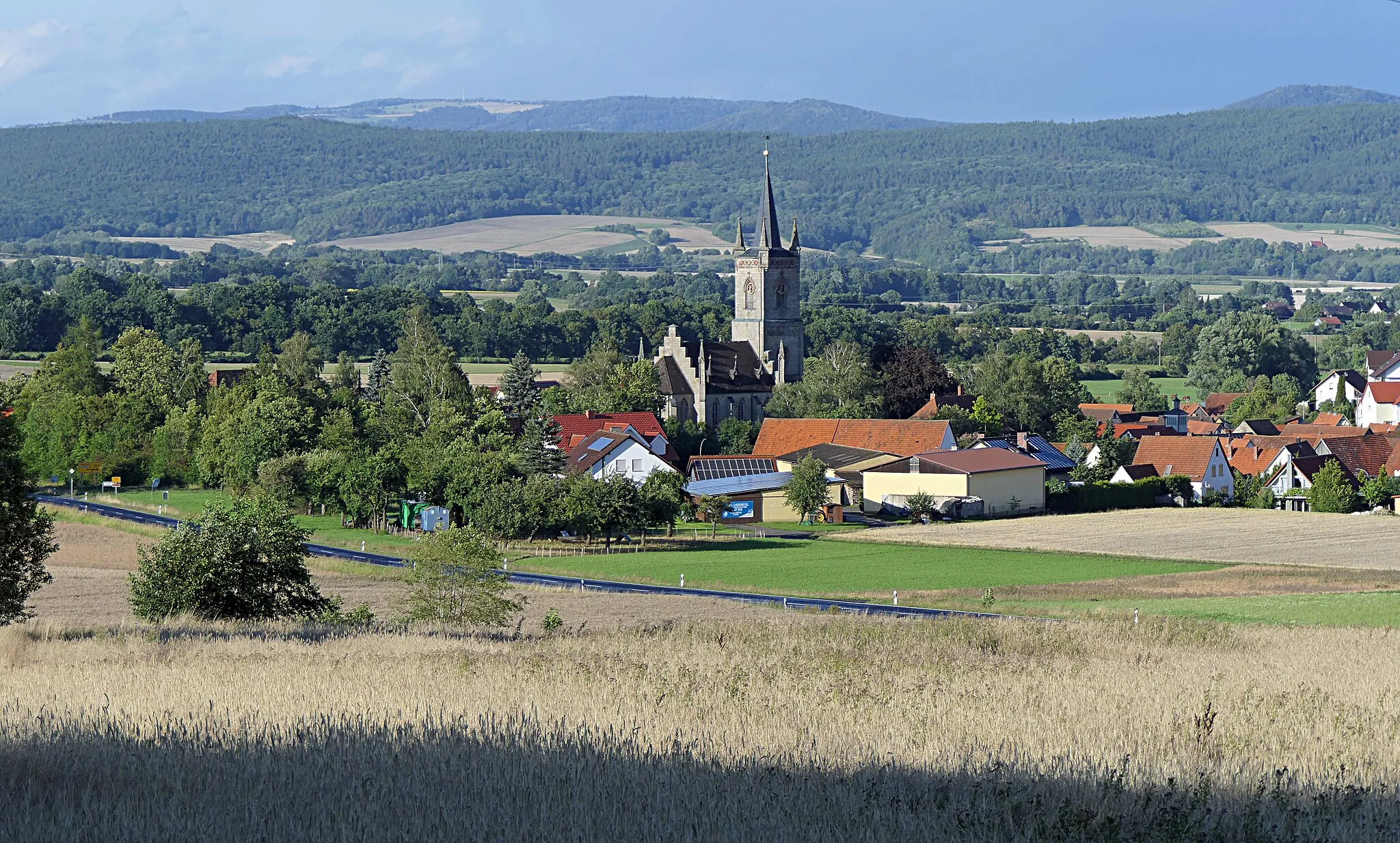
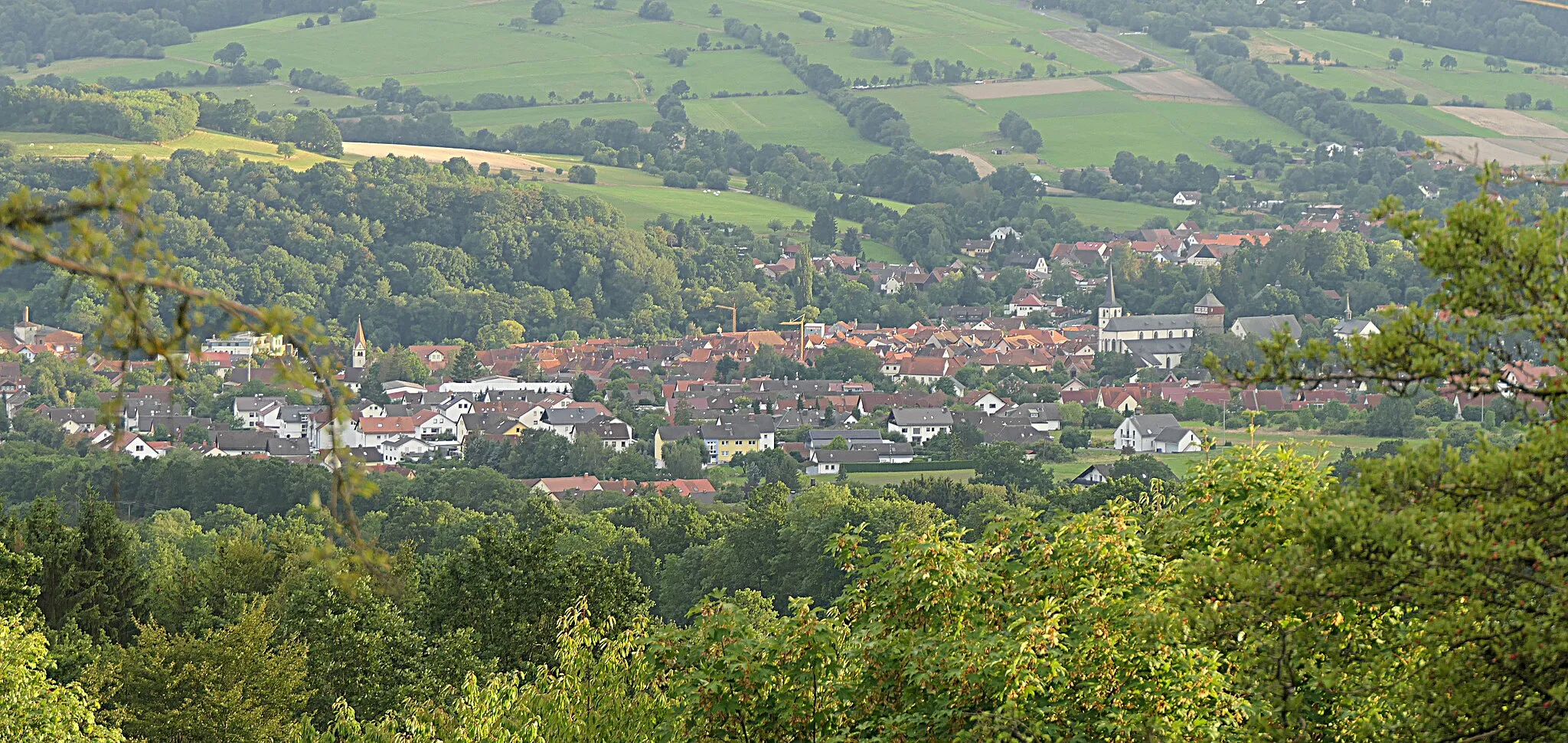
Start: Fladungen City centerFladungen: Immerse yourself in the beauty of Fladungen's cycling routes
Fladungen is a municipality located in the Unterfranken region of Germany. Cyclists in Fladungen can enjoy a variety of cycling routes that showcase the picturesque landscapes and charming Bavarian countryside. The area is known for its rolling hills, dense forests, and scenic river views, offering a mix of challenging climbs and relaxing flats. Cyclists can also explore the popular Rhön Biosphere Reserve, a haven for outdoor enthusiasts. Overall, Fladungen provides a cyclist-friendly environment with diverse routes and stunning natural scenery.0 km
0 km
FladungenTownStart your journey in the quaint town of Fladungen, known for its beautiful half-timbered houses.
17 km
17 km
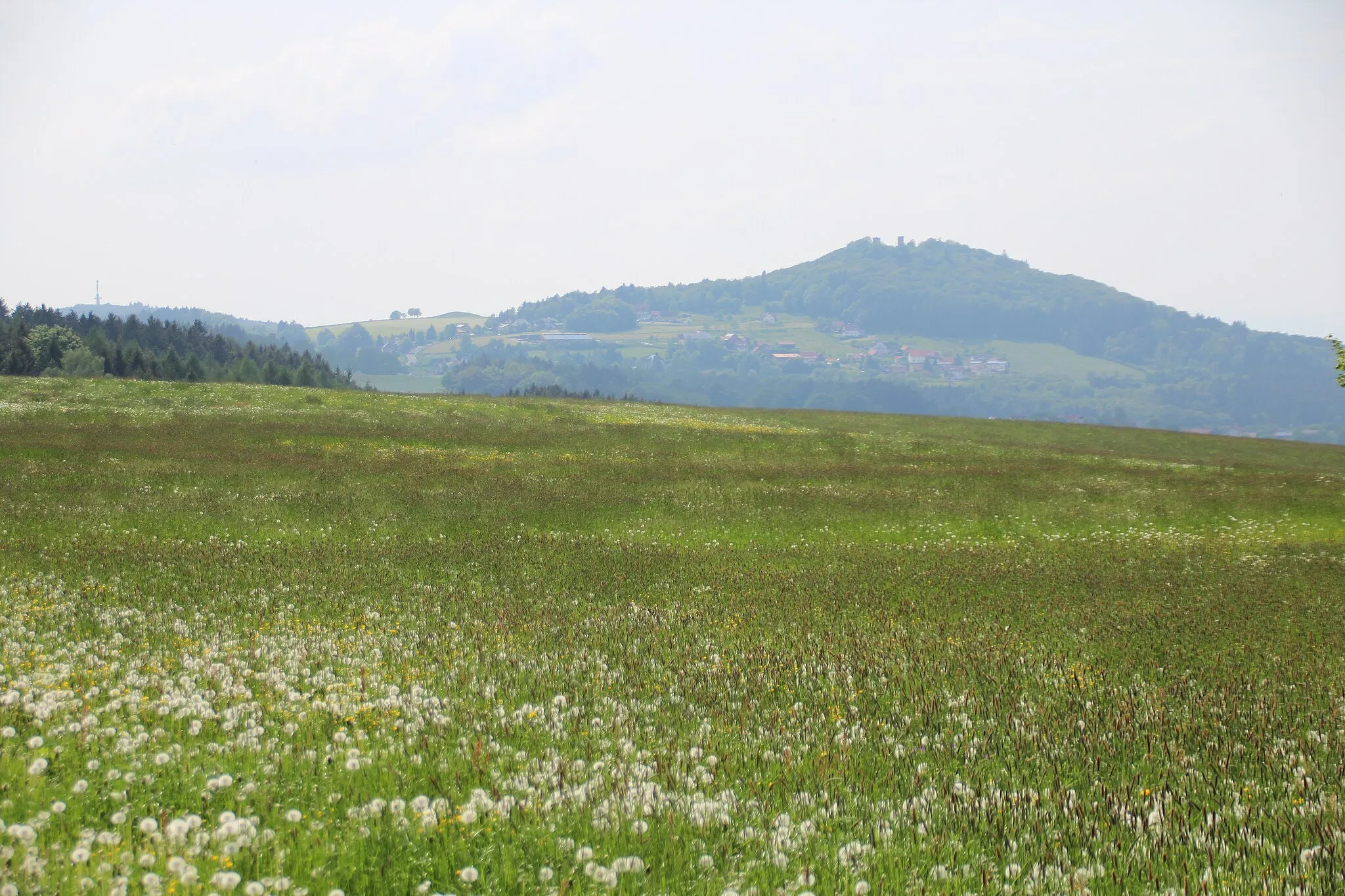
Ottilienstein846 mPeakAdmire the towering cliffs of Ottilienstein, a natural rock formation that is popular among climbers.
24 km
24 km
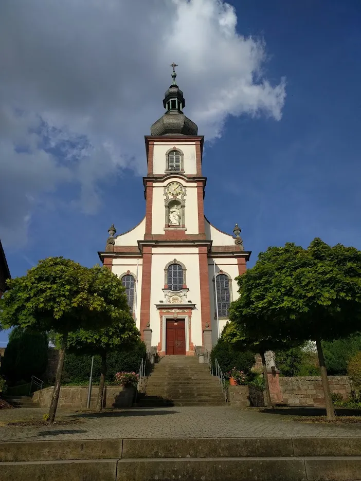
BarockschlossCastleVisit the Baroque palace in Barockschloss and take a walk through its meticulously manicured gardens.
37 km
37 km
Heidküppel615 mPeakMarvel at the unique landscape of Heidküppel, where rolling hills and meadows create a picturesque backdrop.
48 km
48 km
Weiherberg786 mViewpointClimb the challenging ascent of Weiherberg, a mountain known for its panoramic views of the surrounding countryside.
59 km
59 km
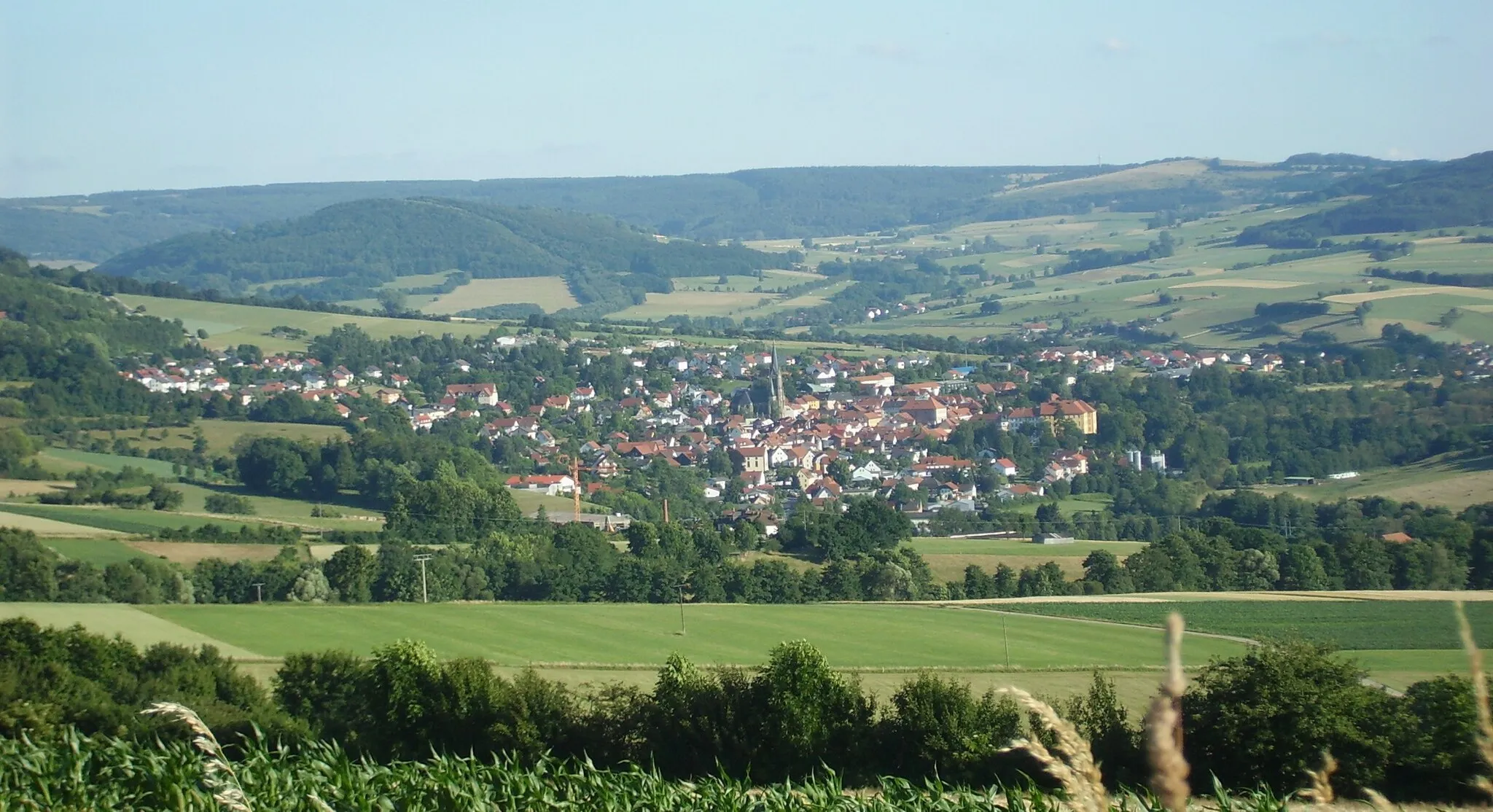
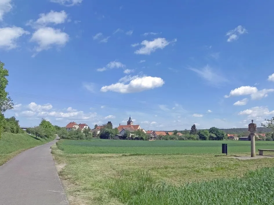
HildersVillagePass through the charming village of Hilders and enjoy its tranquil atmosphere.
67 km
67 km
Frankenheim/RhönVillageExplore Frankenheim/Rhön, a medieval village with well-preserved architecture and a rich history.
74 km
74 km
Fränkisches Freilandmuseum FladungenAttractionImmerse yourself in the local culture at the Fränkisches Freilandmuseum Fladungen, where you can learn about traditional Rhön craftsmanship.
74 km
74 km
Finish: Fladungen City centerFladungen: Immerse yourself in the beauty of Fladungen's cycling routes
Cycling routes nearby: