The Gravel Wonders of Rhön
A gravel cycling route starting from Fladungen
Discover the hidden gravel gems of Rhön
Map
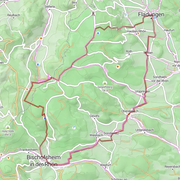
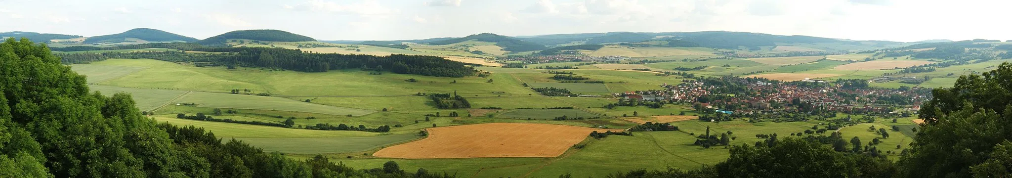
Embark on a 49-kilometer gravel adventure through the lesser-known wonders of the Rhön region. With a total ascent of 827 meters, this route offers a moderate challenge, perfect for cyclists looking to explore off-the-beaten-path trails and enjoy the tranquility of nature.
gravel
49 km
827 m
Chill
Route profile
Highlights on the route
0 km
0 km
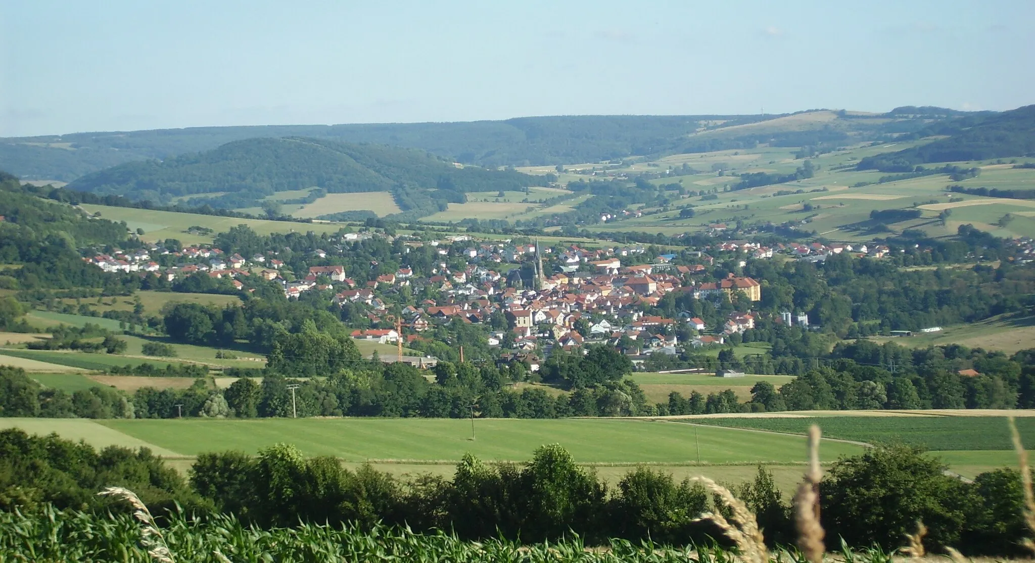
Start: Fladungen City centerFladungen: Immerse yourself in the beauty of Fladungen's cycling routes
Fladungen is a municipality located in the Unterfranken region of Germany. Cyclists in Fladungen can enjoy a variety of cycling routes that showcase the picturesque landscapes and charming Bavarian countryside. The area is known for its rolling hills, dense forests, and scenic river views, offering a mix of challenging climbs and relaxing flats. Cyclists can also explore the popular Rhön Biosphere Reserve, a haven for outdoor enthusiasts. Overall, Fladungen provides a cyclist-friendly environment with diverse routes and stunning natural scenery.8 km
8 km
Galgenberg417 mPeakClimb Galgenberg and marvel at its ancient Celtic burial mounds and panoramic views of the surrounding countryside.
11 km
11 km
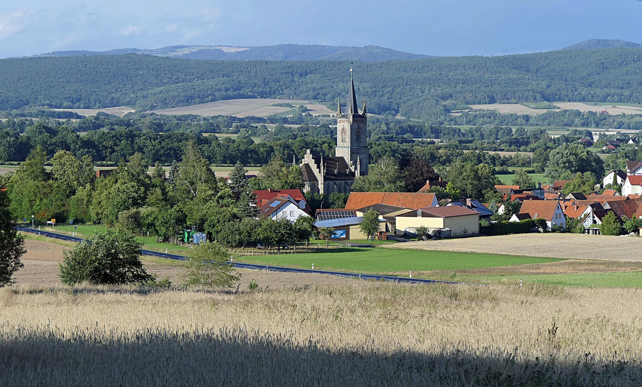
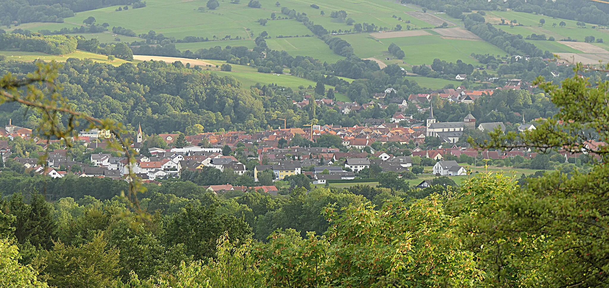
OberelsbachVillageDiscover Oberelsbach, a picturesque village surrounded by lush meadows and rolling hills.
21 km
21 km
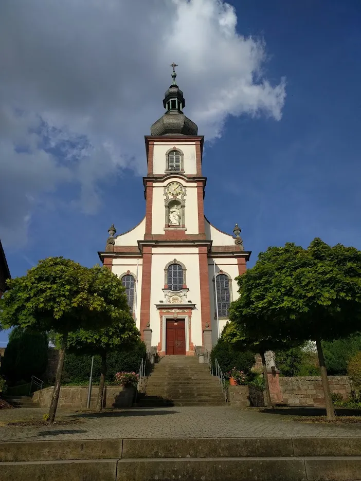
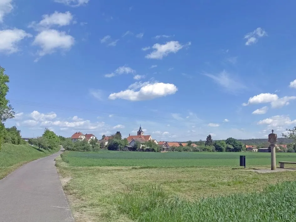
UnterweißenbrunnVillageStop by Unterweißenbrunn and explore its charming church, which dates back to the 13th century.
30 km
30 km
Münzkopf849 mPeakConquer Münzkopf, a mountain known for its dense forests and peaceful hiking trails.
35 km
35 km
Steinkopf888 mPeakVisit Steinkopf, a stunning rock formation that offers breathtaking views of the Rhön region.
49 km
49 km
FladungenTownEnd your journey in Fladungen, a charming town known for its half-timbered buildings and picturesque countryside.
49 km
49 km
Finish: Fladungen City centerFladungen: Immerse yourself in the beauty of Fladungen's cycling routes
Cycling routes nearby: