Rhön Grand Tour
A road cycling route starting from Fladungen
Experience the stunning landscapes of the Rhön region with this challenging road cycling route.
Map
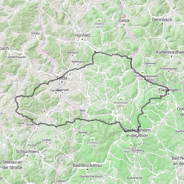
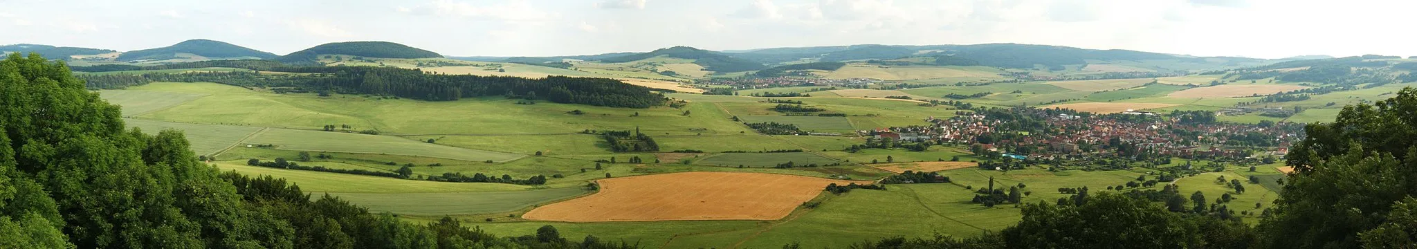
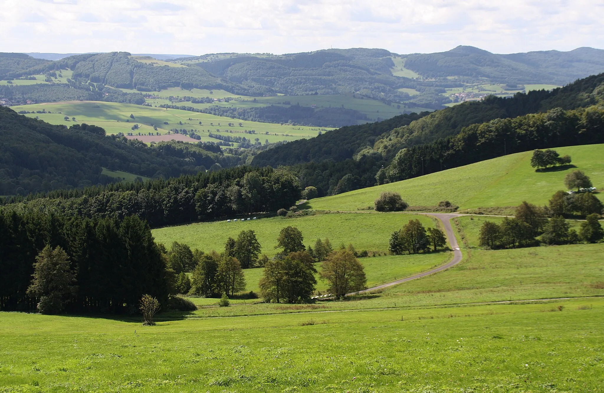
The Rhön Grand Tour is a challenging road cycling route that covers 143 kilometers and includes 2537 meters of ascent. The route takes you through the beautiful Rhön region, known for its stunning landscapes and unique flora and fauna. This epic route offers breathtaking views, historic towns, and picturesque villages along the way. A must-do for experienced cyclists looking for a challenge in a beautiful setting.
road
143 km
2537 m
Tough
Route profile
Highlights on the route
0 km
0 km
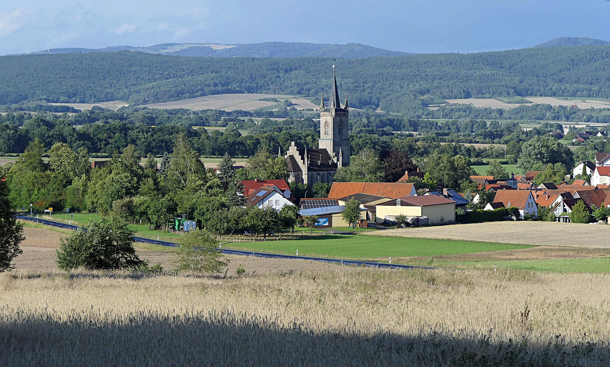
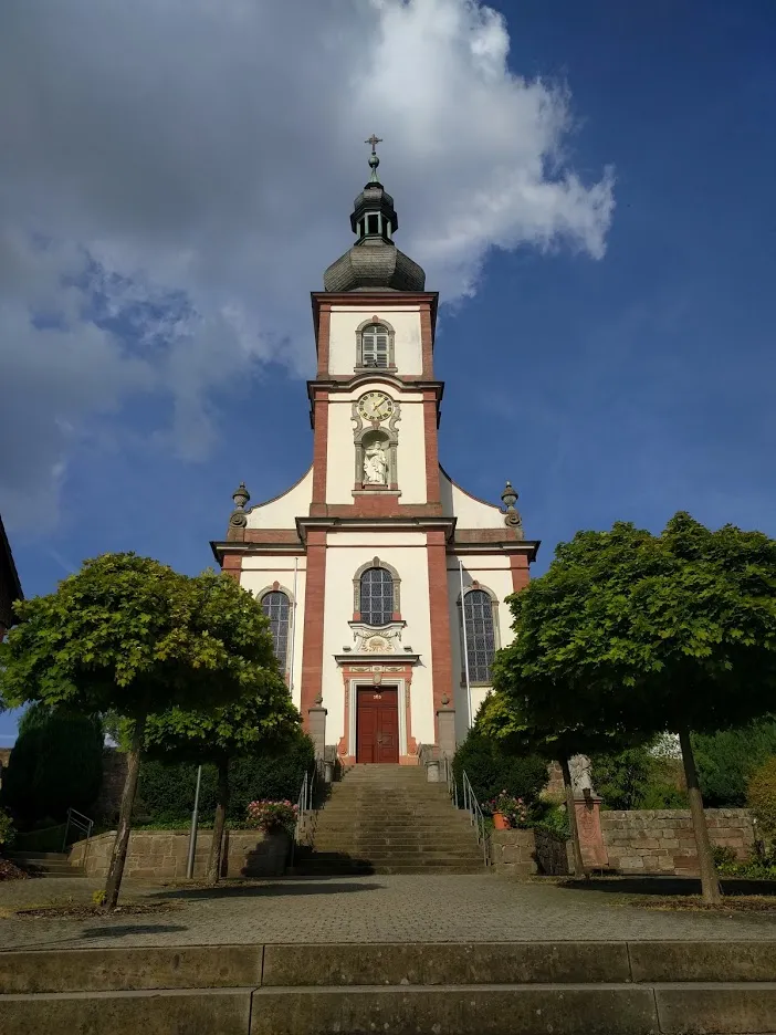
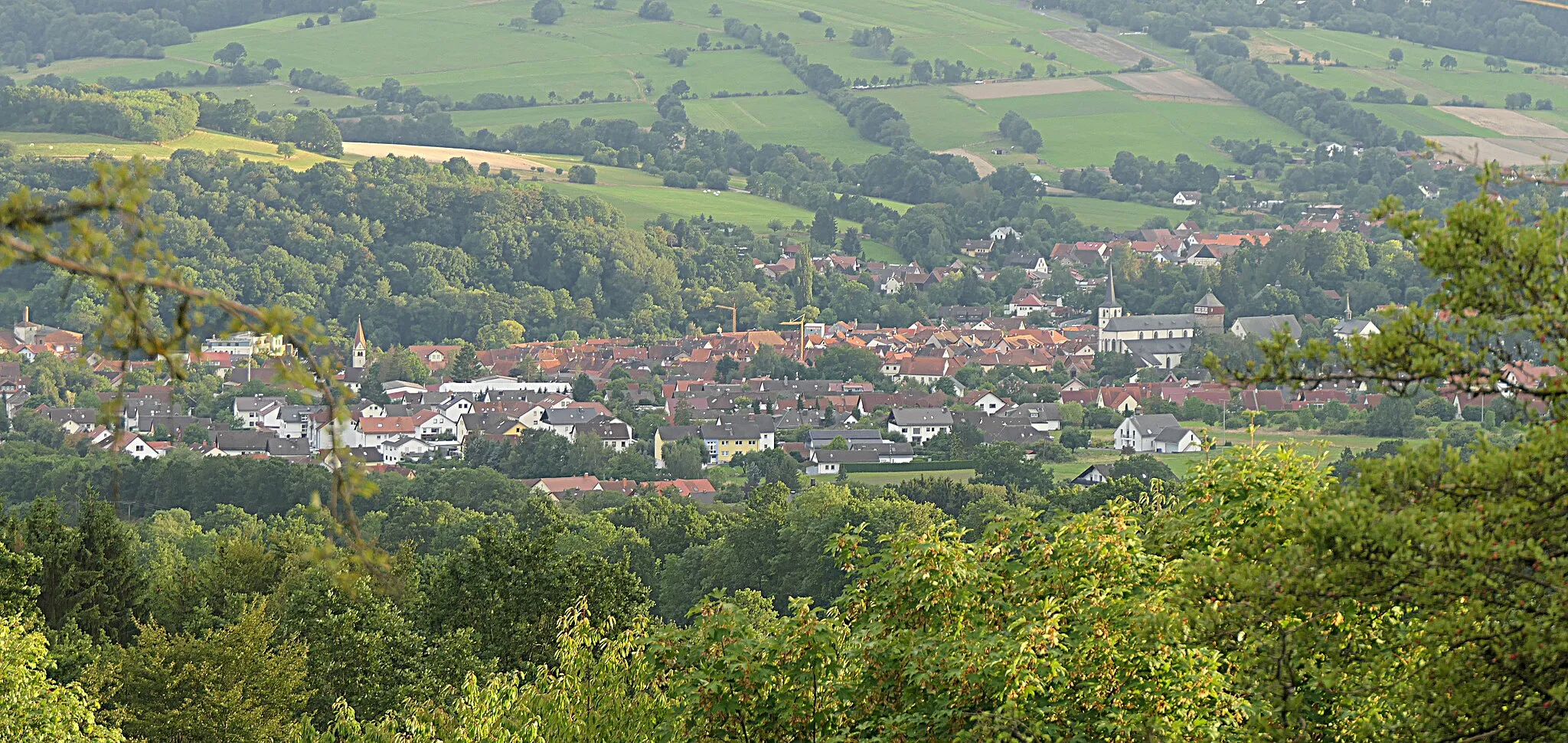
Start: Fladungen City centerFladungen: Immerse yourself in the beauty of Fladungen's cycling routes
Fladungen is a municipality located in the Unterfranken region of Germany. Cyclists in Fladungen can enjoy a variety of cycling routes that showcase the picturesque landscapes and charming Bavarian countryside. The area is known for its rolling hills, dense forests, and scenic river views, offering a mix of challenging climbs and relaxing flats. Cyclists can also explore the popular Rhön Biosphere Reserve, a haven for outdoor enthusiasts. Overall, Fladungen provides a cyclist-friendly environment with diverse routes and stunning natural scenery.6 km
6 km
Hillenberg677 mHamletLocated on the Hillenberg, you can enjoy panoramic views of the surrounding countryside and the rolling hills of the Rhön region.
14 km
14 km
Heidelstein Schwabenhimmel913 mPeakClimb to the Heidelstein Schwabenhimmel, the highest peak in the region, and be rewarded with stunning views and a sense of accomplishment.
28 km
28 km
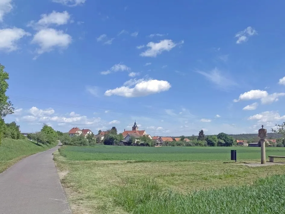
OberweißenbrunnVillagePass through the quaint village of Oberweißenbrunn and take in the charm of its traditional half-timbered houses and historic church.
31 km
31 km
Simmelsberg843 mPeakReach the Simmelsberg, a significant hill in the region, known for its beautiful scenery and unique geological formations.
41 km
41 km
Horstberg499 mPeakCycle through the Horstberg and soak in the peaceful atmosphere of this idyllic natural setting.
48 km
48 km
DöllbachHamletDöllbach is a small hamlet that offers a tranquil setting and an opportunity to take a break and relax amidst nature.
56 km
56 km
MittelkalbachVillageAs you pass through Mittelkalbach, you'll be greeted by charming traditional houses and a scenic countryside.
69 km
69 km
Knöschen508 mPeakKnöschen features lush green meadows and is a great spot to enjoy a picnic and soak in the rural beauty.
83 km
83 km
Egert430 mPeakEgert is a small village that is known for its peaceful ambiance and a sense of stepping back in time.
87 km
87 km
OberrodeVillageCycling through Oberrode, you'll witness a lovely blend of nature and traditional Rhön architecture.
96 km
96 km
NordendSub-urbNordend offers a peaceful countryside environment, with sprawling meadows and charming farmhouses.
109 km
109 km
Zickerskuppe413 mPeakMake a stop at the Zickerskuppe to enjoy breathtaking views over the rolling hills of the Rhön region.
120 km
120 km
Steinhauk453 mPeakExperience the tranquility of the Steinhauk, an idyllic spot surrounded by nature and beautiful landscapes.
130 km
130 km
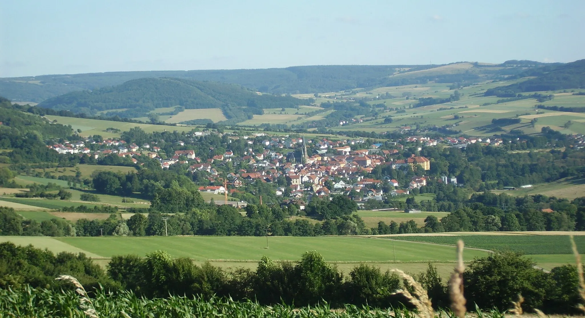
HildersVillageHilders is a historic town with charming buildings and a rich cultural heritage to explore.
139 km
139 km
LeubachVillageLeubach is a famous cycling spot, known for its challenging climbs and thrilling descents.
143 km
143 km
Finish: Fladungen City centerFladungen: Immerse yourself in the beauty of Fladungen's cycling routes
Cycling routes nearby: