Rhön Rhombus: Hilders Kreuzberg Loop
A gravel cycling route starting from Hilders
Embark on an epic gravel adventure to Kreuzberg, one of the highest peaks in the Rhön Mountains.
Map
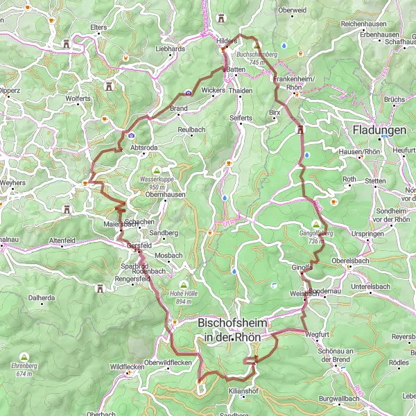
Prepare yourself for an epic gravel cycling journey starting from Hilders that will take you to the summit of Kreuzberg, known as the 'Holy Mountain of the Franconian-Saxon'. With a distance of 78 km and a challenging ascent of 1908 meters, this route is suitable for experienced gravel cyclists seeking a thrilling and rewarding adventure. Along the way, you will encounter stunning natural landscapes, including the Grabenberg hill and Ginolfs village. The highlight of the route is reaching Kreuzberg, where you can visit the famous Kreuzberg Monastery and enjoy breathtaking views from the summit. Overall, this route offers a legendary cycling experience in the heart of the Rhön Mountains.
gravel
78 km
1908 m
Savage
Route profile
Highlights on the route
0 km
0 km
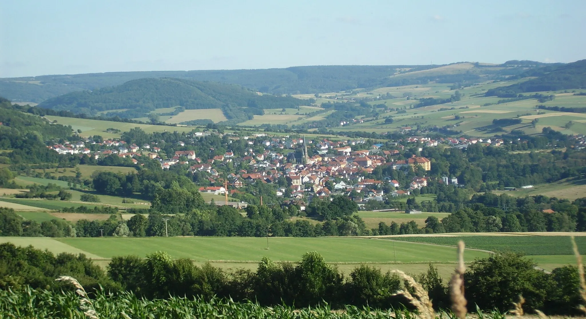
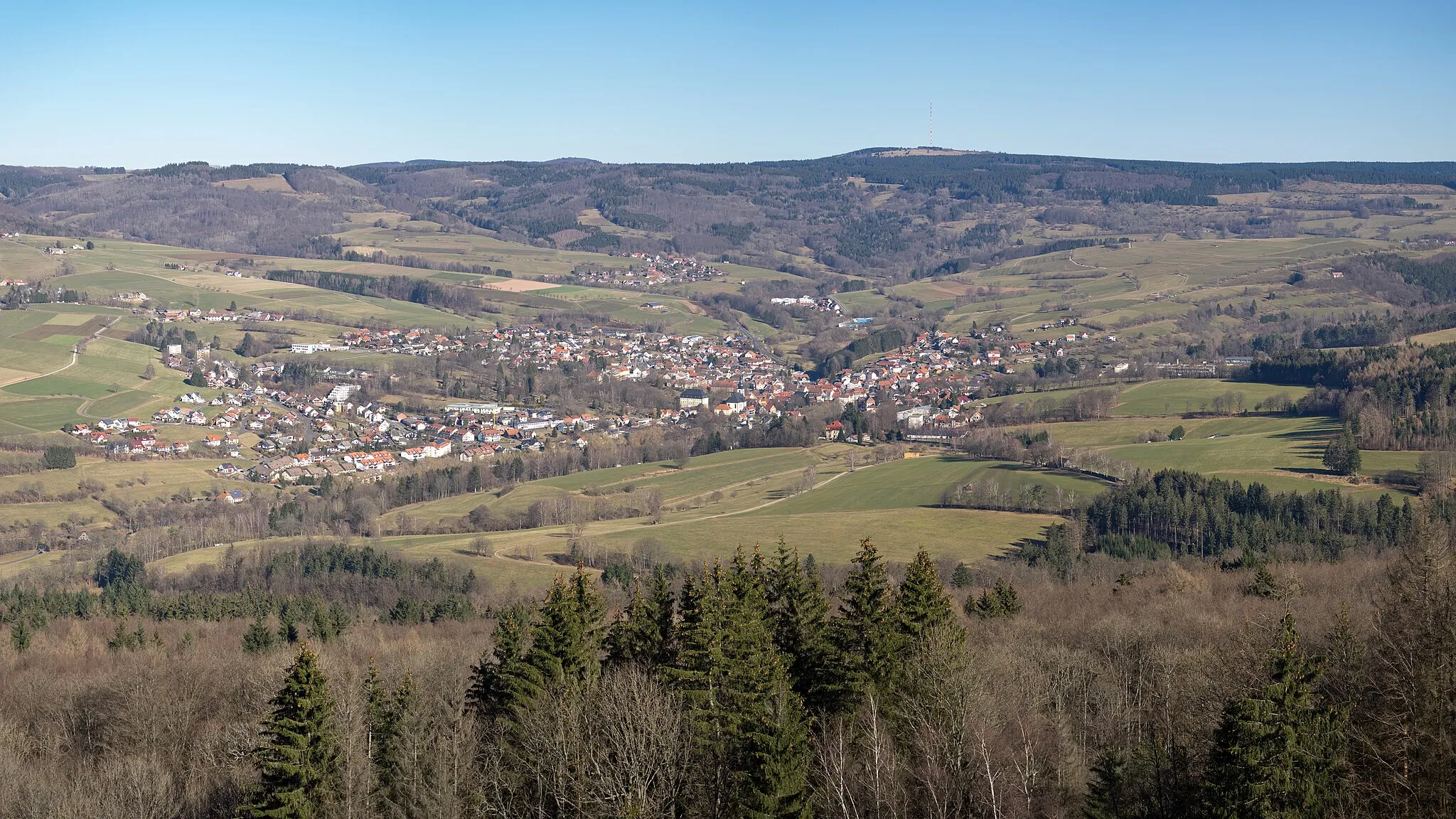
Start: Hilders Village centerHilders: Cycling paradise in picturesque Hilders
Hilders, located in Kassel, Germany, is a beautiful locality with stunning scenery perfect for road and gravel cycling. The region offers a variety of terrain, from rolling hills to challenging climbs, making it suitable for cyclists of all levels. One famous cycling spot in the area is Wasserkuppe, the highest mountain in Hesse, which attracts cyclists from all over to test their skills on its challenging slopes. With its picturesque landscapes and well-maintained roads, Hilders is a great destination for both cycling enthusiasts and tourists.9 km
9 km
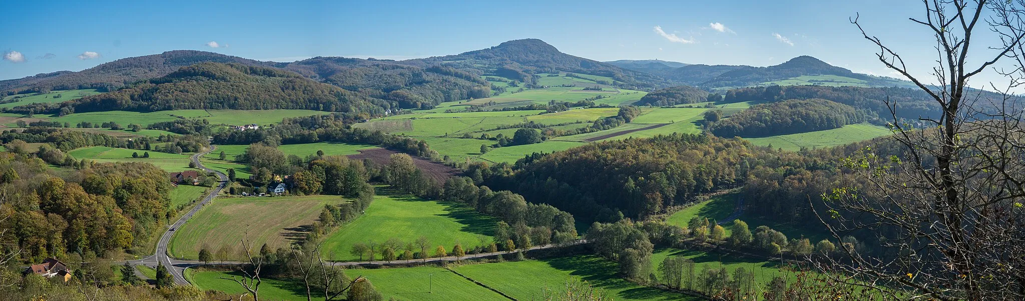
Grabenberg796 mPeakConquer the Grabenberg hill, offering challenging gravel terrain and scenic vistas.
10 km
10 km
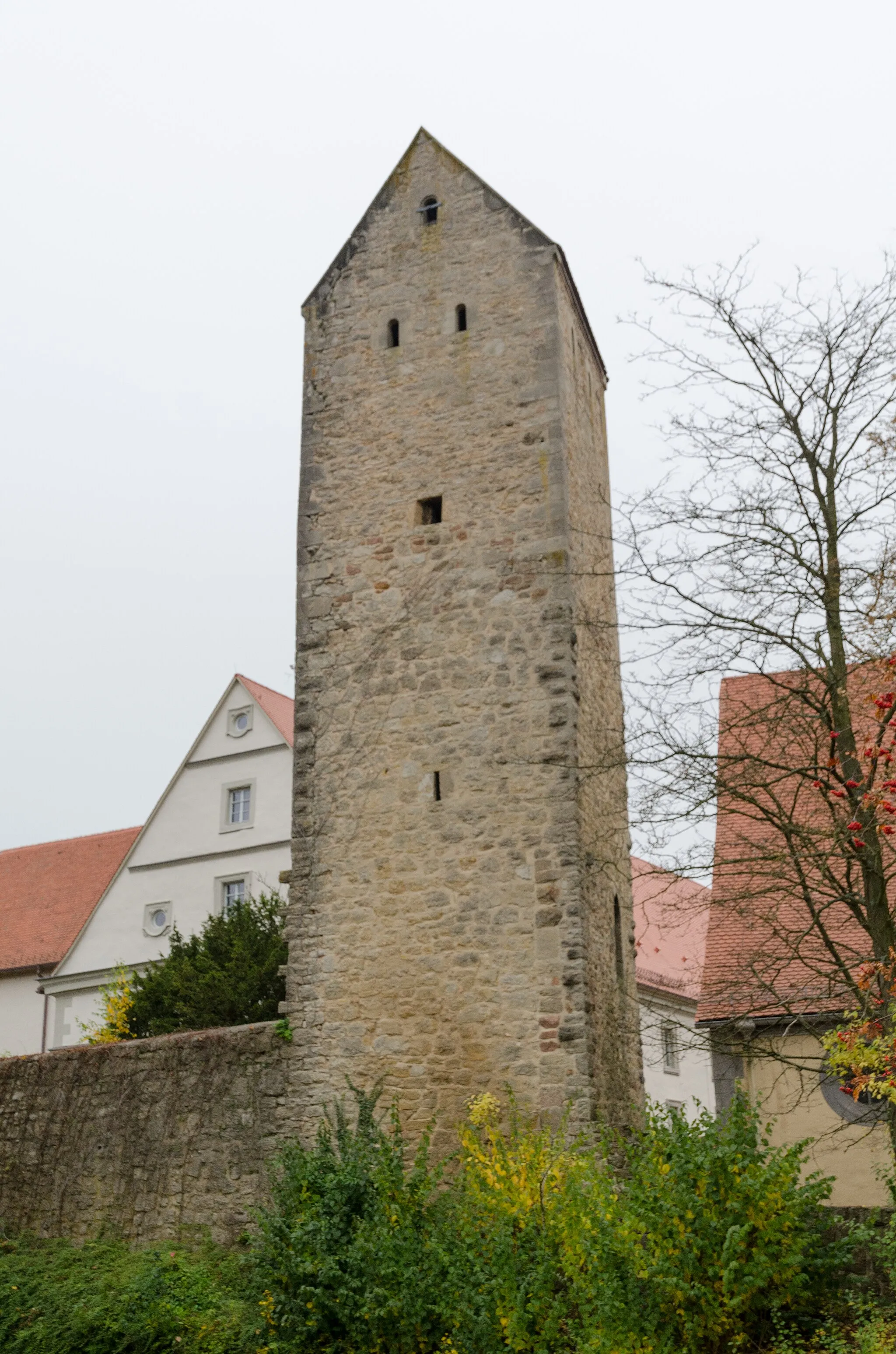
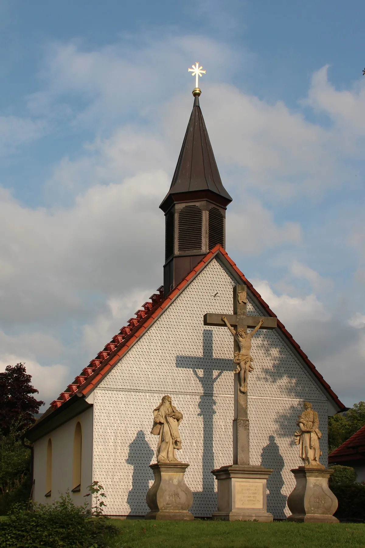
Steinerner TorbogenCastle RuinsMarvel at the majestic stone arch of the Steinerner Torbogen, a natural monument in the Rhön.
17 km
17 km
Gangolfsberg736 mPeakExperience the tranquility of Gangolfsberg, a remote hill with spectacular views.
22 km
22 km
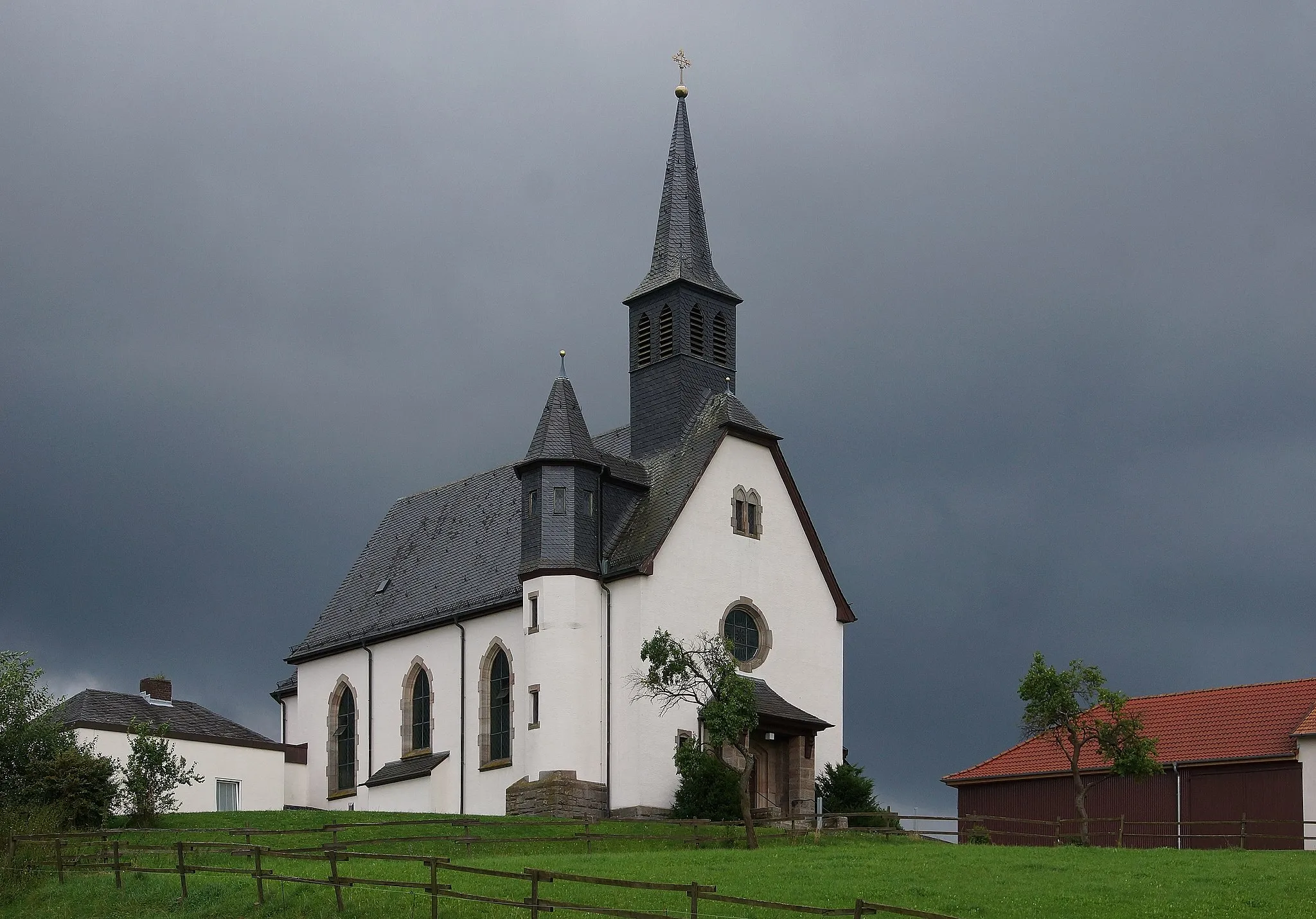
GinolfsVillagePass through Ginolfs, a quaint village known for its traditional timber-framed houses.
40 km
40 km
Kreuzberg (Rhön)928 mPeakReach the summit of Kreuzberg, one of the highest peaks in the Rhön Mountains.
46 km
46 km
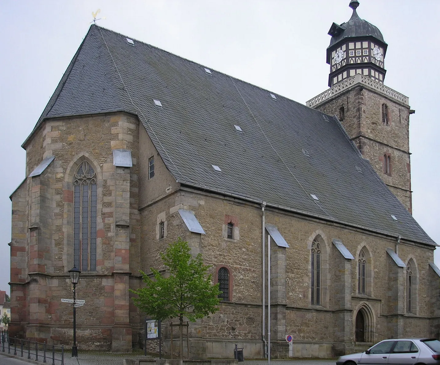
OberweißenbrunnVillageDiscover the picturesque village of Oberweißenbrunn, surrounded by rolling hills.
54 km
54 km
MaiersbachVillageCycle through the charming countryside of Maiersbach, known for its idyllic landscapes.
67 km
67 km
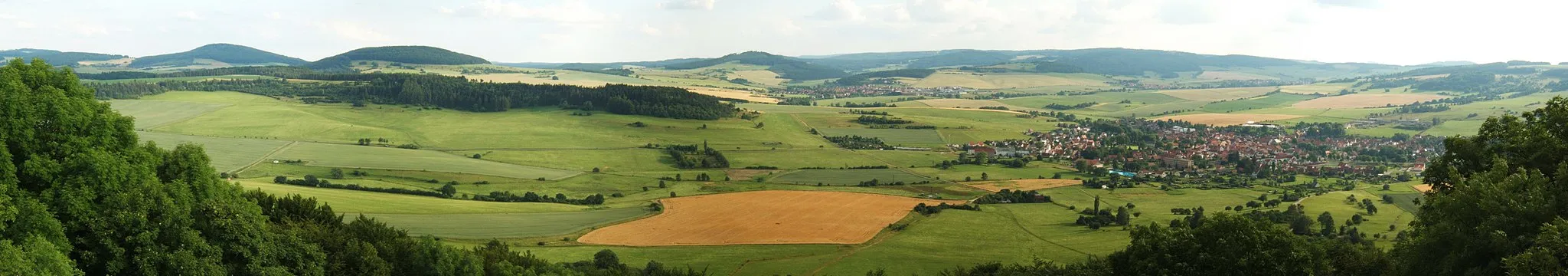
Weiherberg786 mViewpointPass Weiherberg, a serene village nestled amidst the natural beauty of the Rhön.
78 km
78 km
Finish: Hilders Village centerHilders: Cycling paradise in picturesque Hilders
Cycling routes from Hilders:
Cycling routes nearby: