Hilders Melmesberg Loop
A road cycling route starting from Hilders
Embark on a challenging road cycling adventure to Melmesberg with stunning viewpoints along the way.
Map
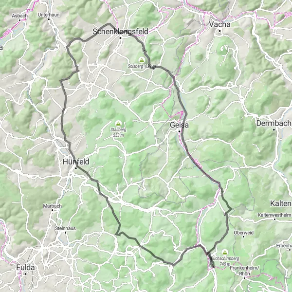
This challenging road cycling route starting from Hilders will take you to the summit of Melmesberg, offering breathtaking views of the surrounding landscapes. With a distance of 97 km and an ascent of 1306 meters, this route is suitable for experienced cyclists seeking a test of endurance. Along the way, you will pass through picturesque villages including Hofbieber and Hünfeld, known for their rich history and charming architecture. The highlight of the route is the panoramic viewpoint at Melmesberg, where you can enjoy sweeping vistas of the Rhön Mountains. It is a rewarding ride that combines scenic beauty with a physical challenge.
road
97 km
1306 m
Savage
Route profile
Highlights on the route
0 km
0 km
Start: Batten Village centerHilders: Cycling paradise in picturesque Hilders
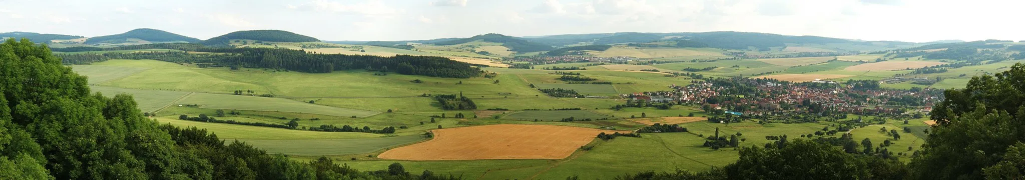
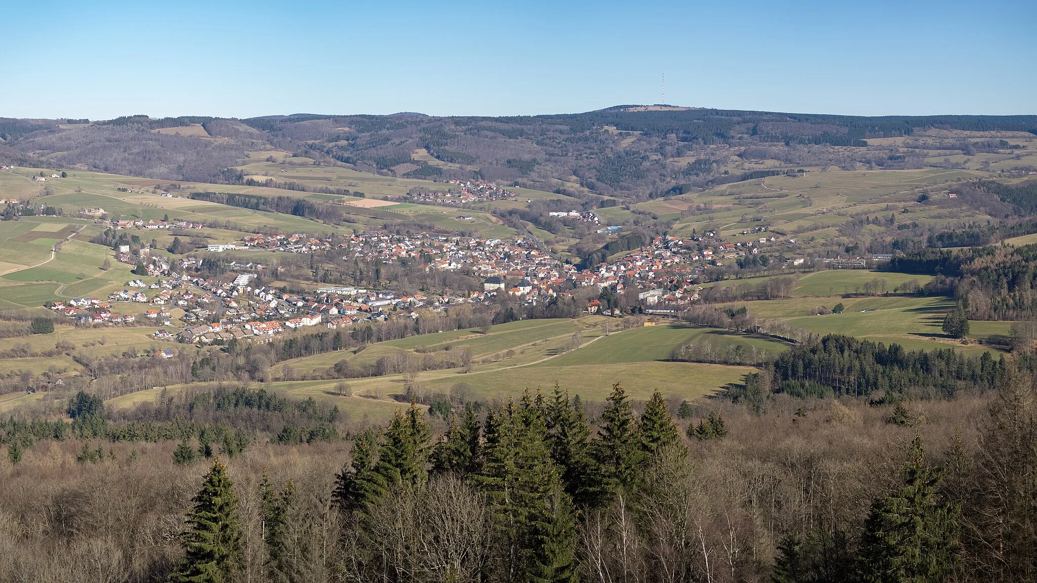
Hilders, located in Kassel, Germany, is a beautiful locality with stunning scenery perfect for road and gravel cycling. The region offers a variety of terrain, from rolling hills to challenging climbs, making it suitable for cyclists of all levels. One famous cycling spot in the area is Wasserkuppe, the highest mountain in Hesse, which attracts cyclists from all over to test their skills on its challenging slopes. With its picturesque landscapes and well-maintained roads, Hilders is a great destination for both cycling enthusiasts and tourists.16 km
16 km
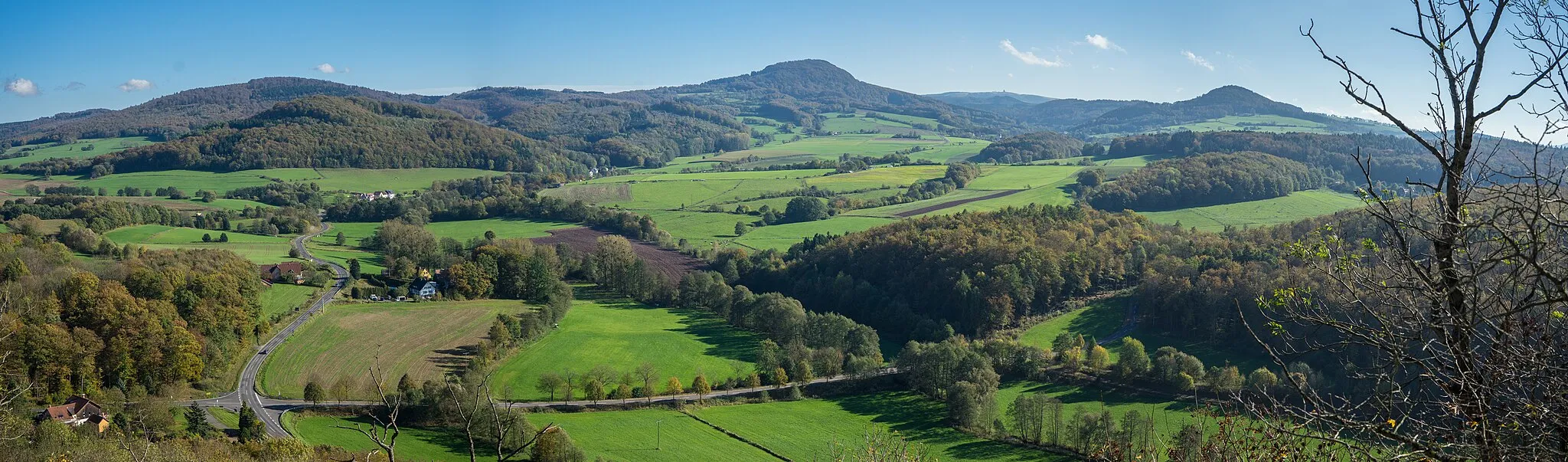
Melmesberg433 mPeakReach the summit of Melmesberg and revel in the stunning panoramic views of the Rhön Mountains.
17 km
17 km
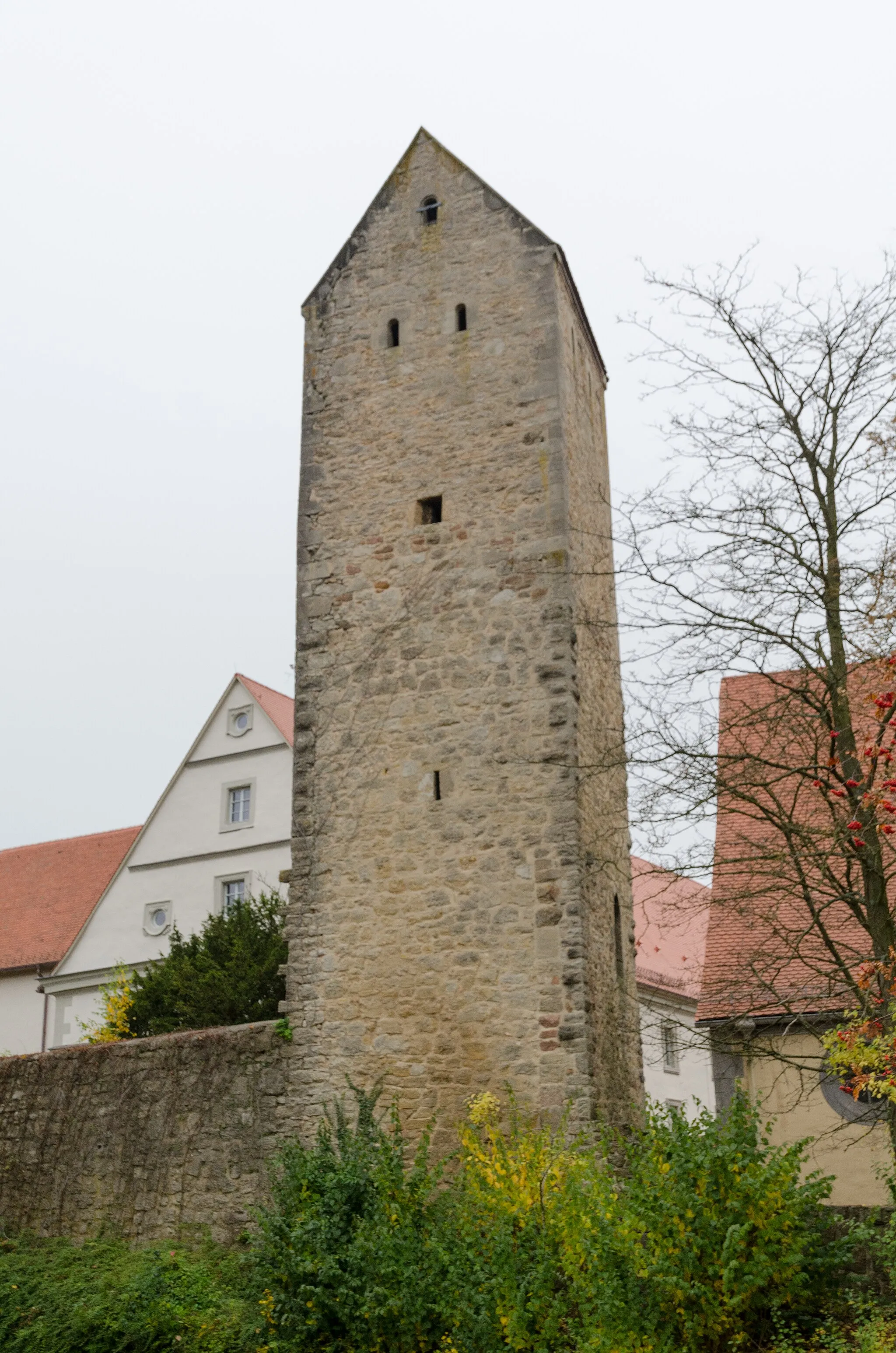
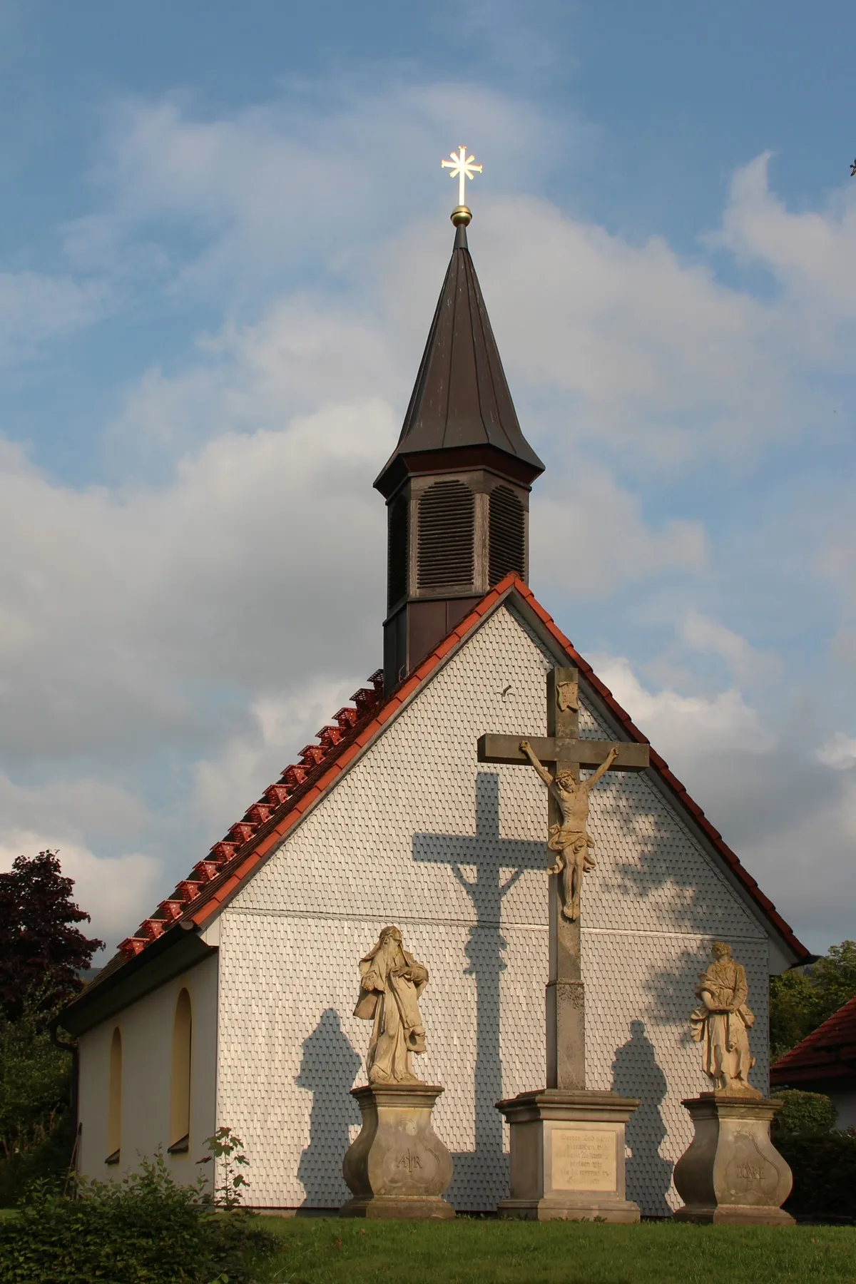
HofbieberVillageExplore Hofbieber, a picturesque village with well-preserved half-timbered houses.
29 km
29 km
SonnenuhrViewpointAdmire the intricate design of the Sonnenuhr, a traditional sundial located in a charming village.
29 km
29 km
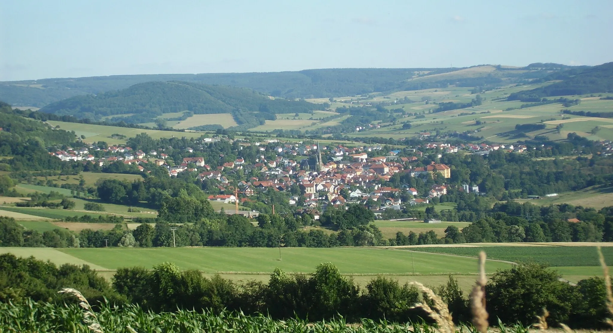
HünfeldTownVisit Hünfeld, an historic town known for its architecture and cultural heritage.
47 km
47 km
Hauberg425 mPeakExperience the natural beauty of Hauberg, a hilly area with scenic landscapes.
52 km
52 km
WüstfeldVillagePass through Wüstfeld, a small village surrounded by rolling hills and abundant greenery.
68 km
68 km
WenigentaftVillageDiscover Wenigentaft, a scenic village known for its beautiful countryside.
68 km
68 km
Standorfsberg386 mPeakMarvel at the rugged beauty of Standorfsberg, a distinctive peak in the Rhön Mountains.
77 km
77 km
MotzlarVillagePass Motzlar, a quaint village nestled amidst picturesque landscapes.
94 km
94 km
HildersVillageReturn to Hilders and explore the local attractions, including the historic town center.
97 km
97 km
Finish: Batten Village centerHilders: Cycling paradise in picturesque Hilders
Cycling routes from Hilders:
Cycling routes nearby: