The Schürzenberg Challenge
A gravel cycling route starting from Adenau
Conquer the Schürzenberg and enjoy the stunning scenery.
Map
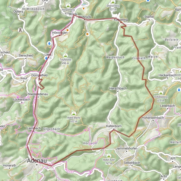
This gravel cycling route near Adenau offers a moderate level of difficulty, with a total ascent of 968 meters and a distance of 43 kilometers. Highlights along the way include Schürzenberg, a challenging climb that rewards cyclists with stunning views, and the iconic Hohe Acht, the highest peak in the Eifel region. With its diverse terrain and picturesque landscapes, this route is perfect for cyclists looking to test their skills and enjoy the beauty of Koblenz's countryside.
gravel
43 km
968 m
Tough
Route profile
Highlights on the route
0 km
0 km
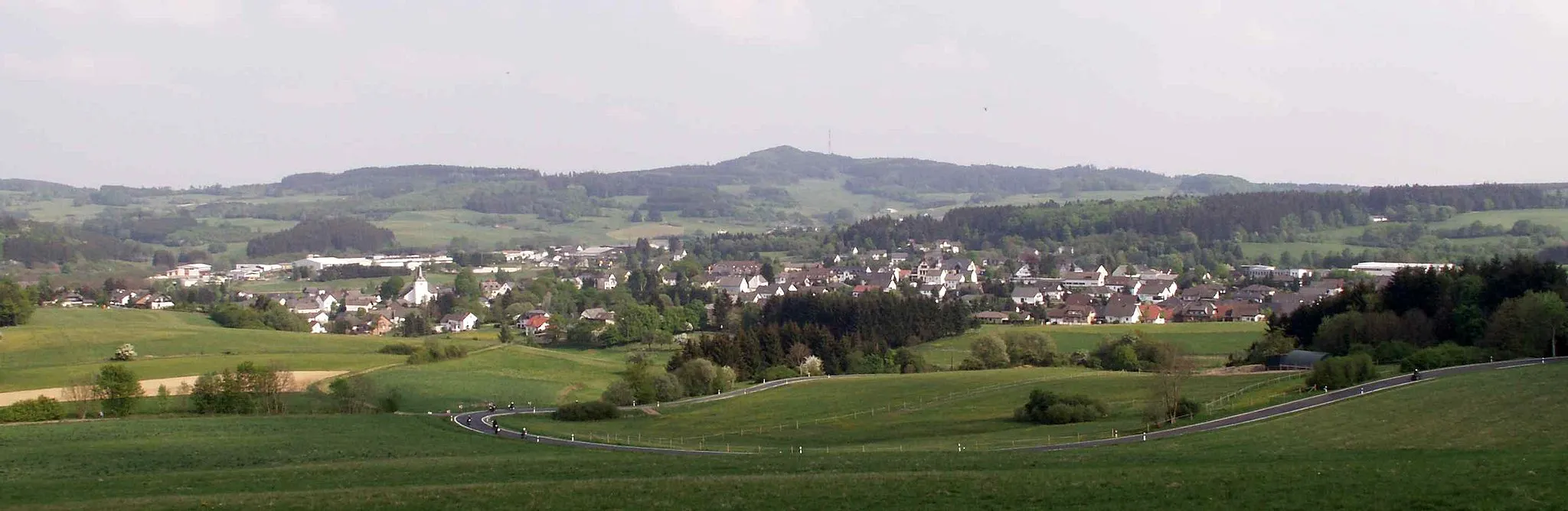
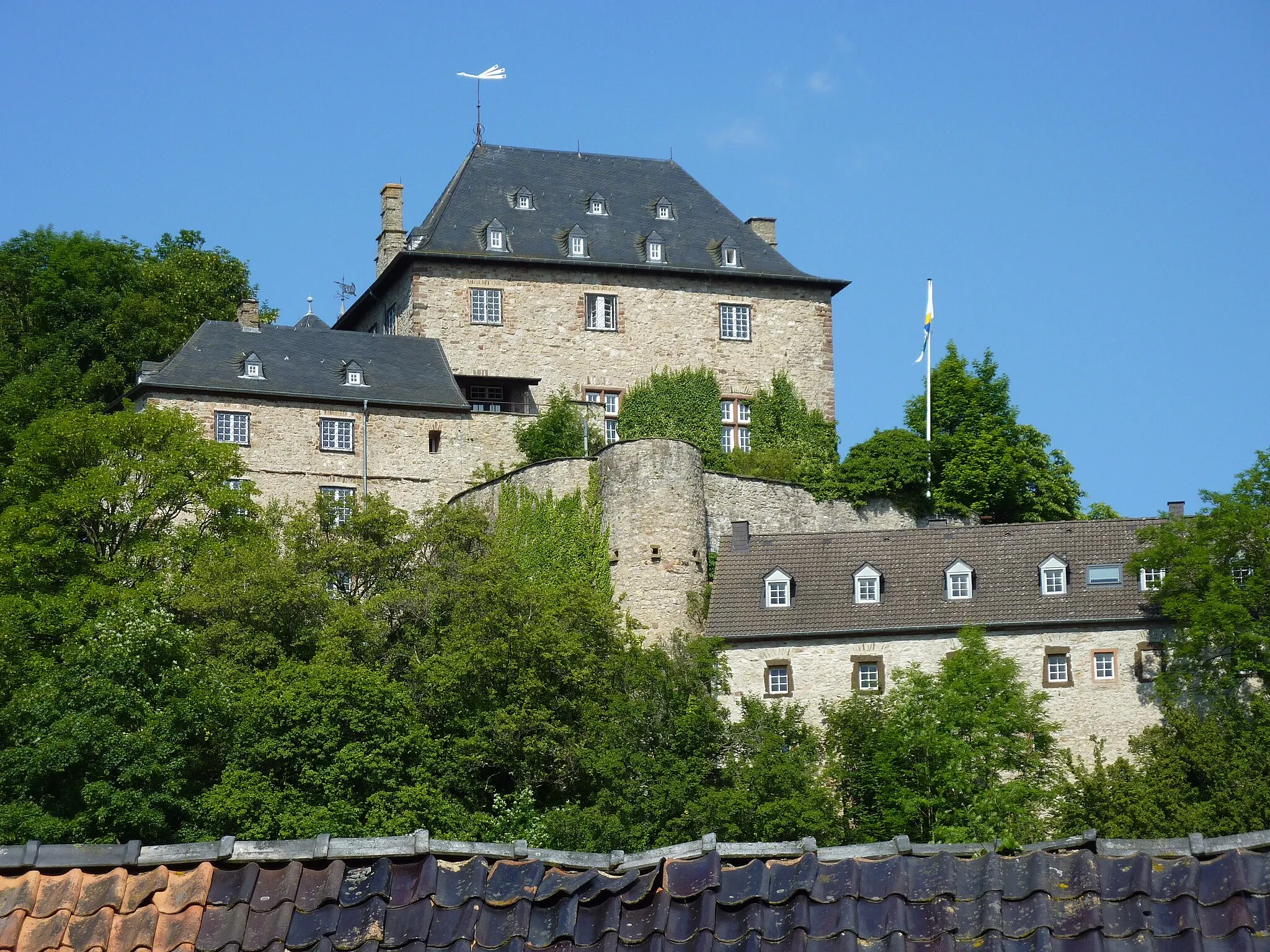
Start: Adenau City centerAdenau: Discover the picturesque landscapes and legendary Nürburgring in Adenau.
Adenau is a small locality in Germany, known for its picturesque landscapes and challenging cycling routes. As a road cyclist or gravel cyclist, you will enjoy riding through the beautiful countryside and exploring the nearby Eifel National Park. Adenau is also home to the legendary Nürburgring, a must-visit destination for motorsports enthusiasts. With its winding roads and steep gradients, the Nürburgring offers a thrilling experience for cyclists. The locality offers a range of cycling-friendly facilities, including bike rentals and cycling tours. Overall, Adenau is a great destination for cyclists looking for both scenic beauty and exhilarating climbs.5 km
5 km
Schürzenberg436 mPeakSchürzenberg is a legendary climb known for its challenging gradient and breathtaking views from the top.
13 km
13 km
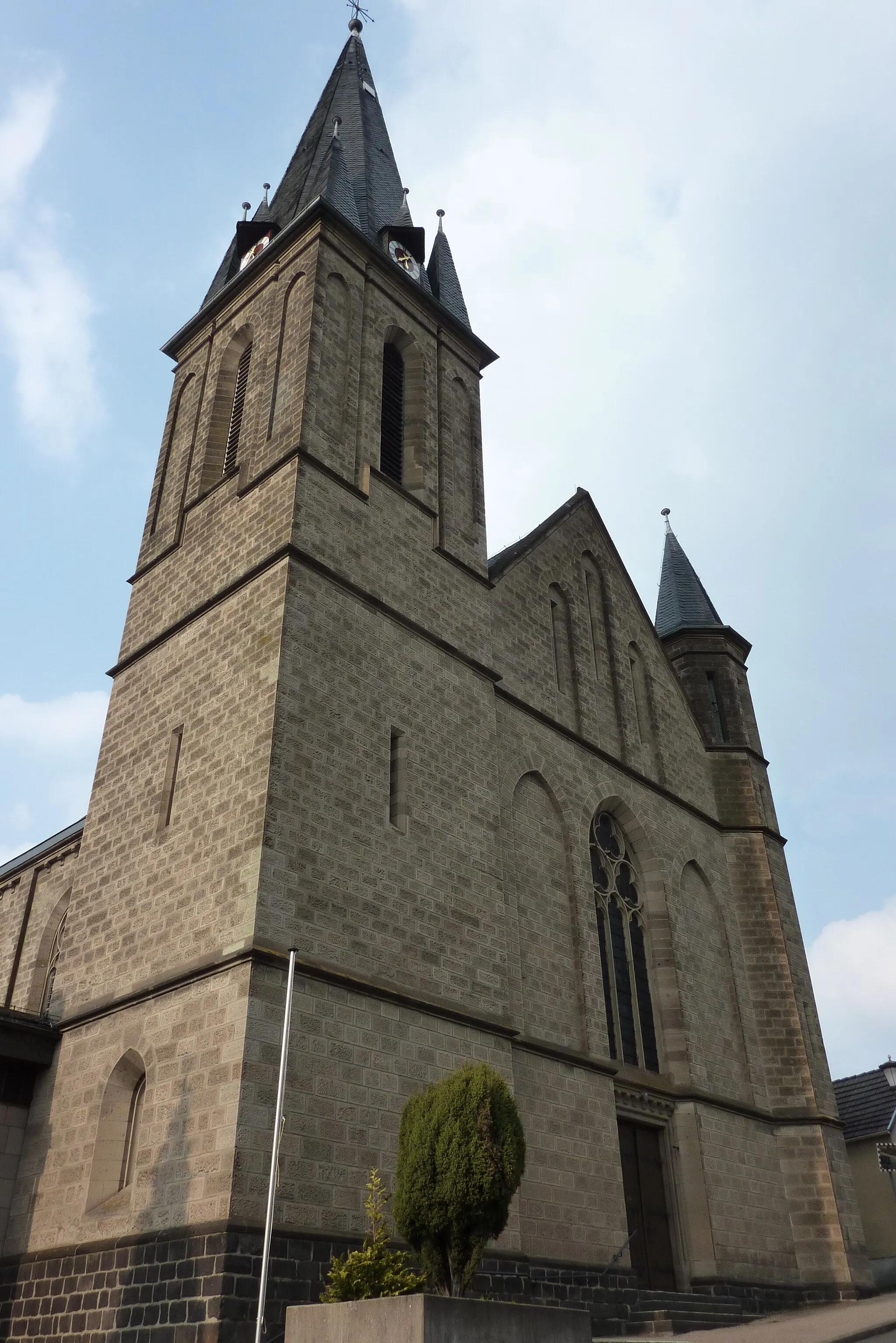
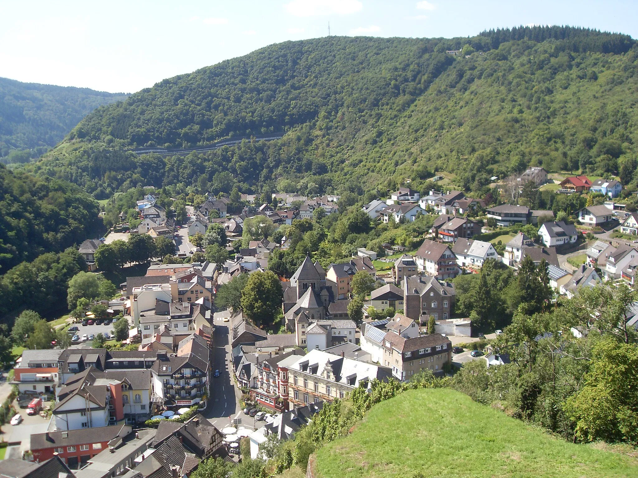
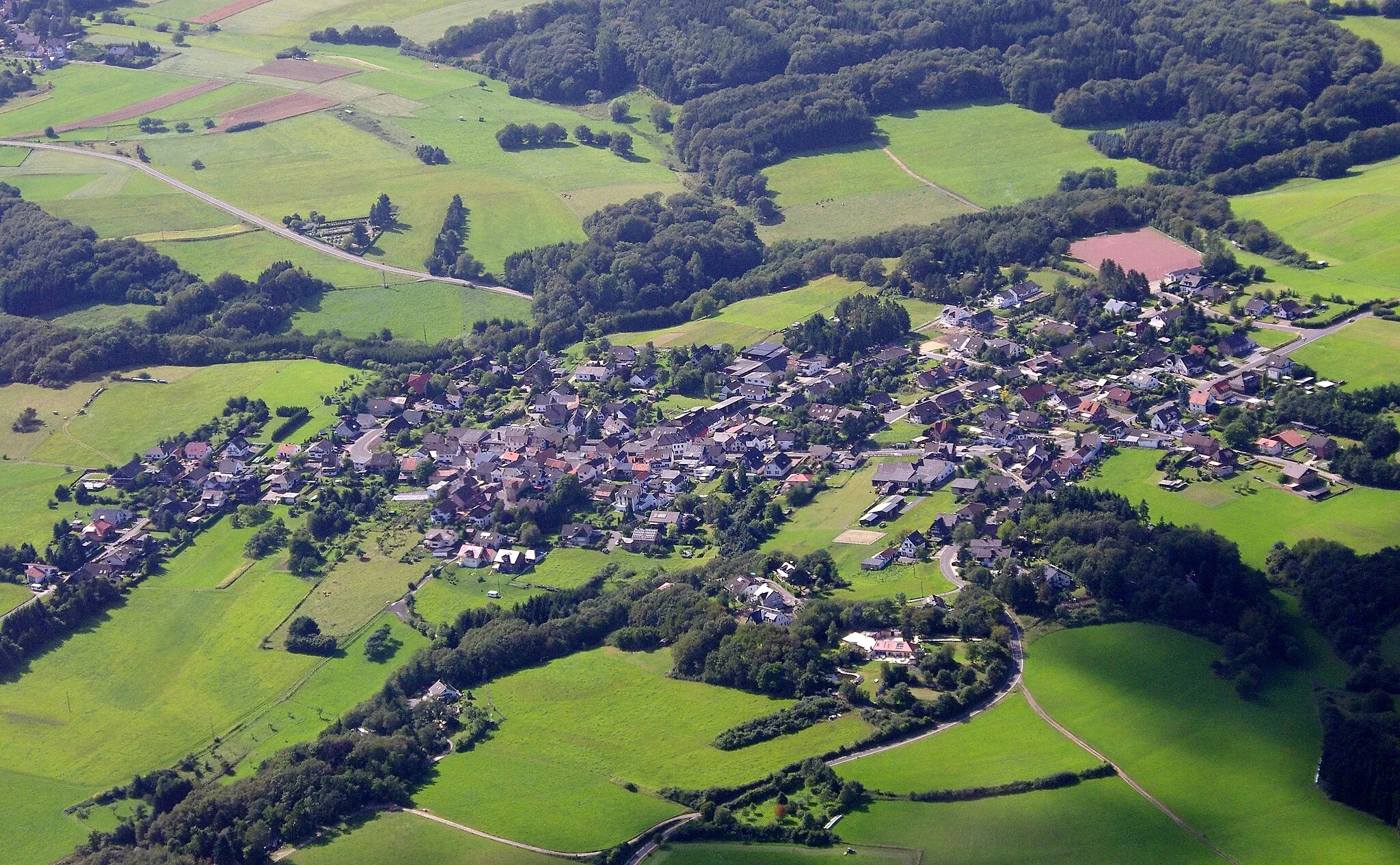
HönningenVillageHönningen is a charming village surrounded by lush green forests and stunning mountain vistas.
30 km
30 km
Schellkopf649 mPeakSchellkopf is a tranquil viewpoint that offers sweeping panoramic views of the surrounding countryside.
30 km
30 km
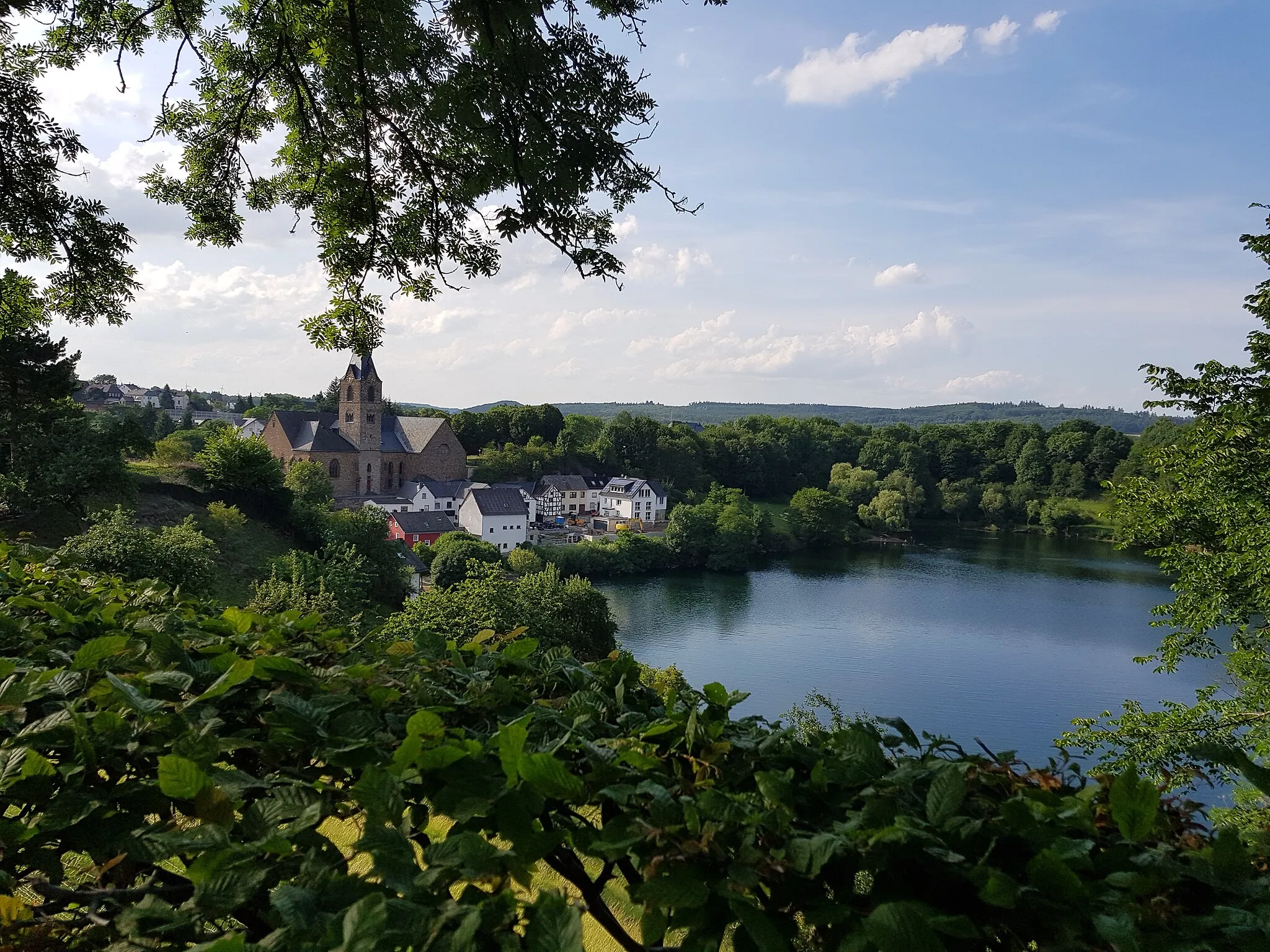
HohenleimbachVillageHohenleimbach is a picturesque village nestled amidst rolling hills and pristine nature.
36 km
36 km
Hohe Acht747 mPeakHohe Acht is the highest point in the Eifel region and offers breathtaking panoramic views of the surrounding landscape.
42 km
42 km
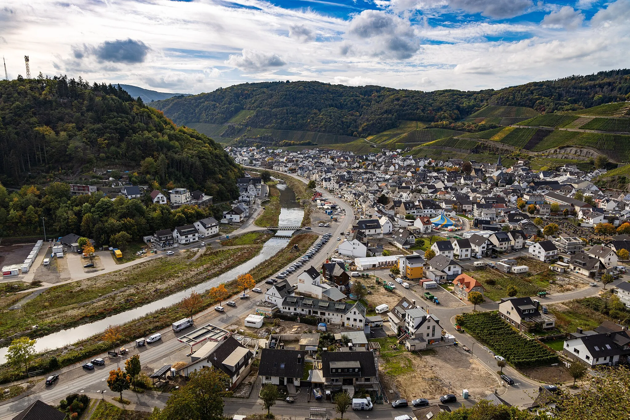
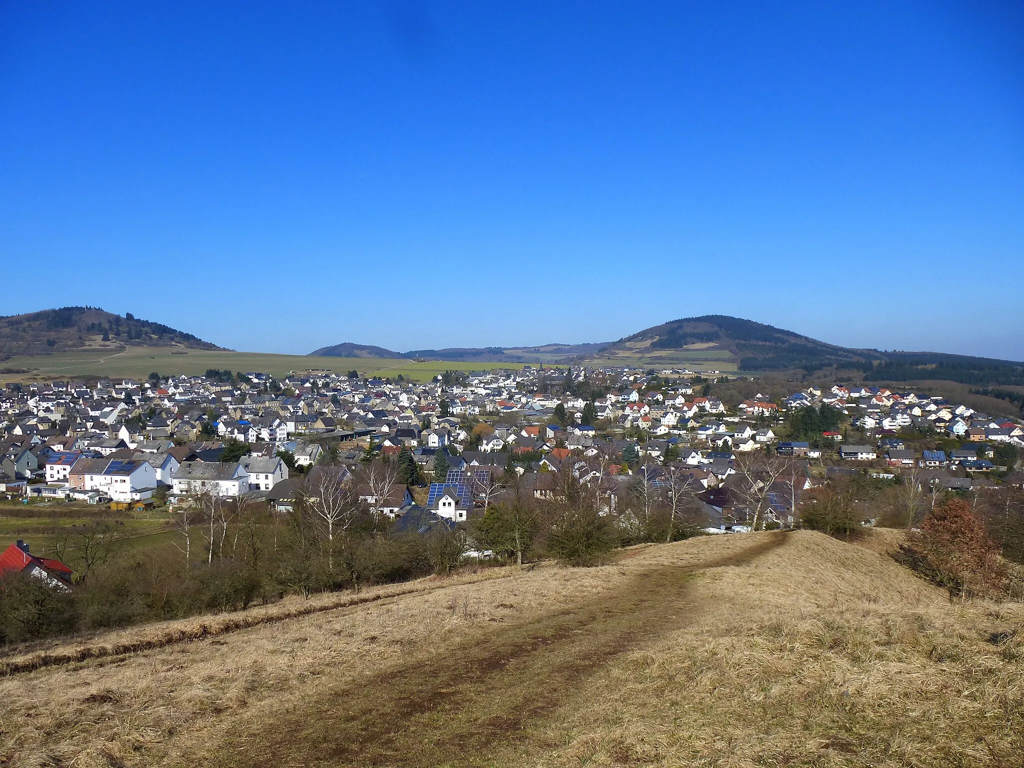
BreidscheidVillageBreidscheid is a charming village known for its traditional half-timbered houses and peaceful atmosphere.
43 km
43 km
Finish: Adenau City centerAdenau: Discover the picturesque landscapes and legendary Nürburgring in Adenau.
Cycling routes nearby: