The Historical Route
A road cycling route starting from Adenau
Embark on a historical journey through the heart of the Eifel region
Map
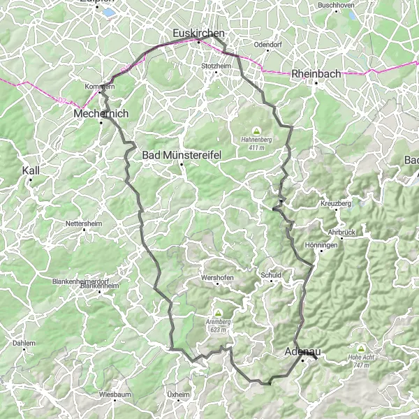
Discover the rich history and beauty of the Eifel region on this 116-kilometer cycling route. With an ascent of 1623 meters, it offers moderate difficulty suitable for well-trained amateurs. Highlights along the way include the picturesque Wimbach, Römische Kanalmeisterei, and the Kallenhard viewpoint. Immerse yourself in the region's heritage as you pedal through charming villages and uncover historical landmarks. An ideal choice for history enthusiasts and nature lovers alike.
road
116 km
1623 m
Tough
Route profile
Highlights on the route
0 km
0 km
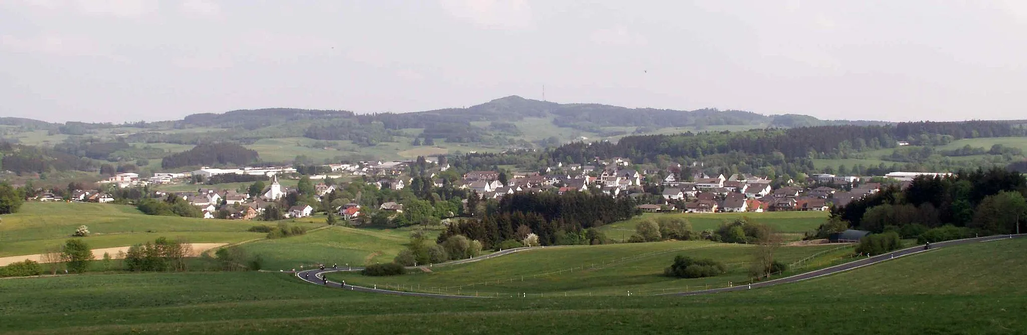
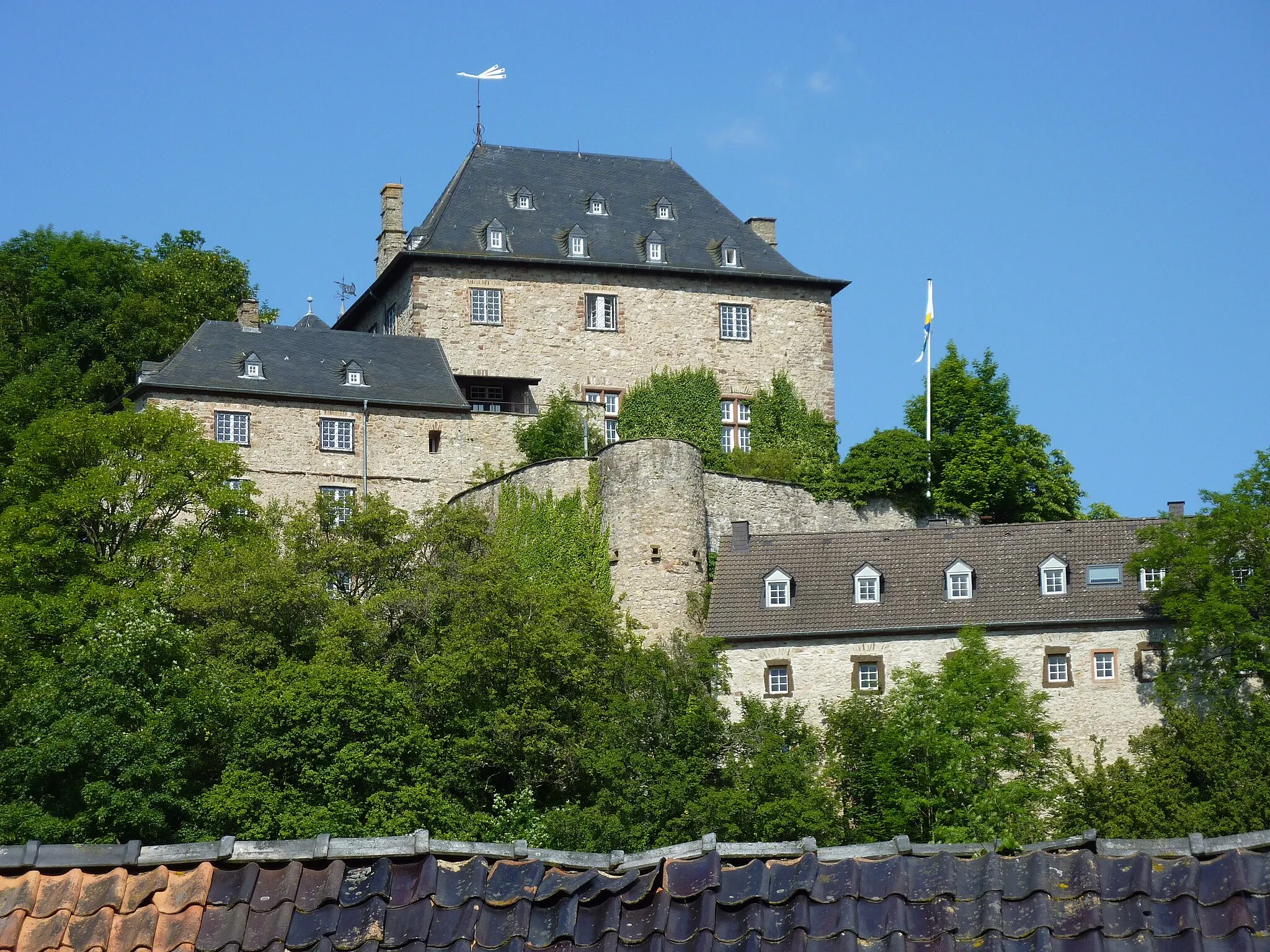
Start: Breidscheid Village centerAdenau: Discover the picturesque landscapes and legendary Nürburgring in Adenau.
Adenau is a small locality in Germany, known for its picturesque landscapes and challenging cycling routes. As a road cyclist or gravel cyclist, you will enjoy riding through the beautiful countryside and exploring the nearby Eifel National Park. Adenau is also home to the legendary Nürburgring, a must-visit destination for motorsports enthusiasts. With its winding roads and steep gradients, the Nürburgring offers a thrilling experience for cyclists. The locality offers a range of cycling-friendly facilities, including bike rentals and cycling tours. Overall, Adenau is a great destination for cyclists looking for both scenic beauty and exhilarating climbs.4 km
4 km
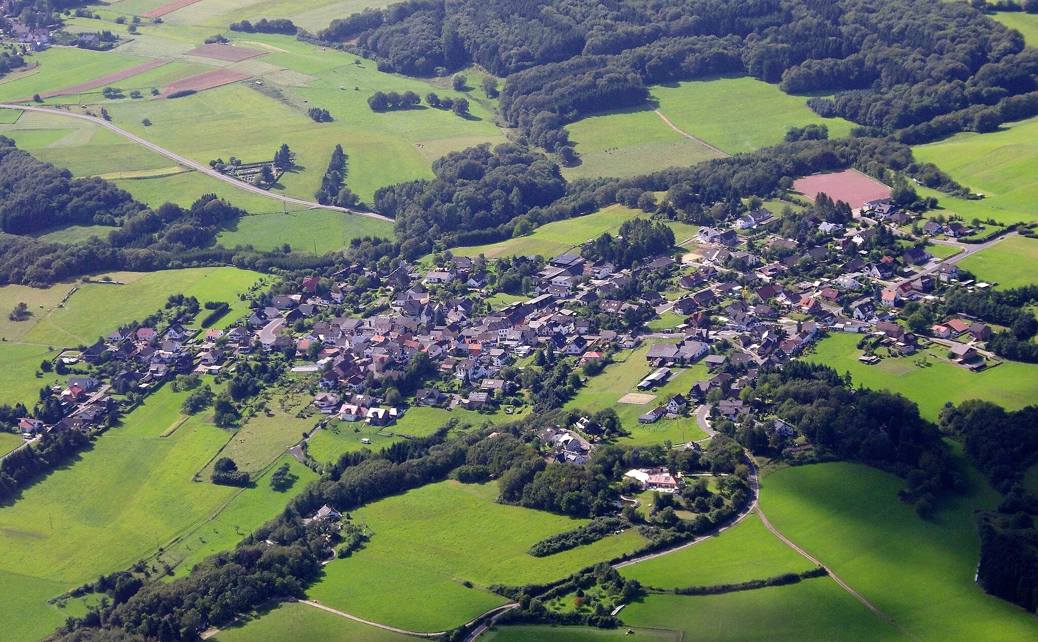
WimbachVillageDiscover the charm of Wimbach, known for its unique blend of historical architecture and natural beauty.
5 km
5 km
KottenbornVillage ViewpointVisit Kottenborn for its lush green landscape and peaceful ambiance, allowing you to connect with nature.
14 km
14 km
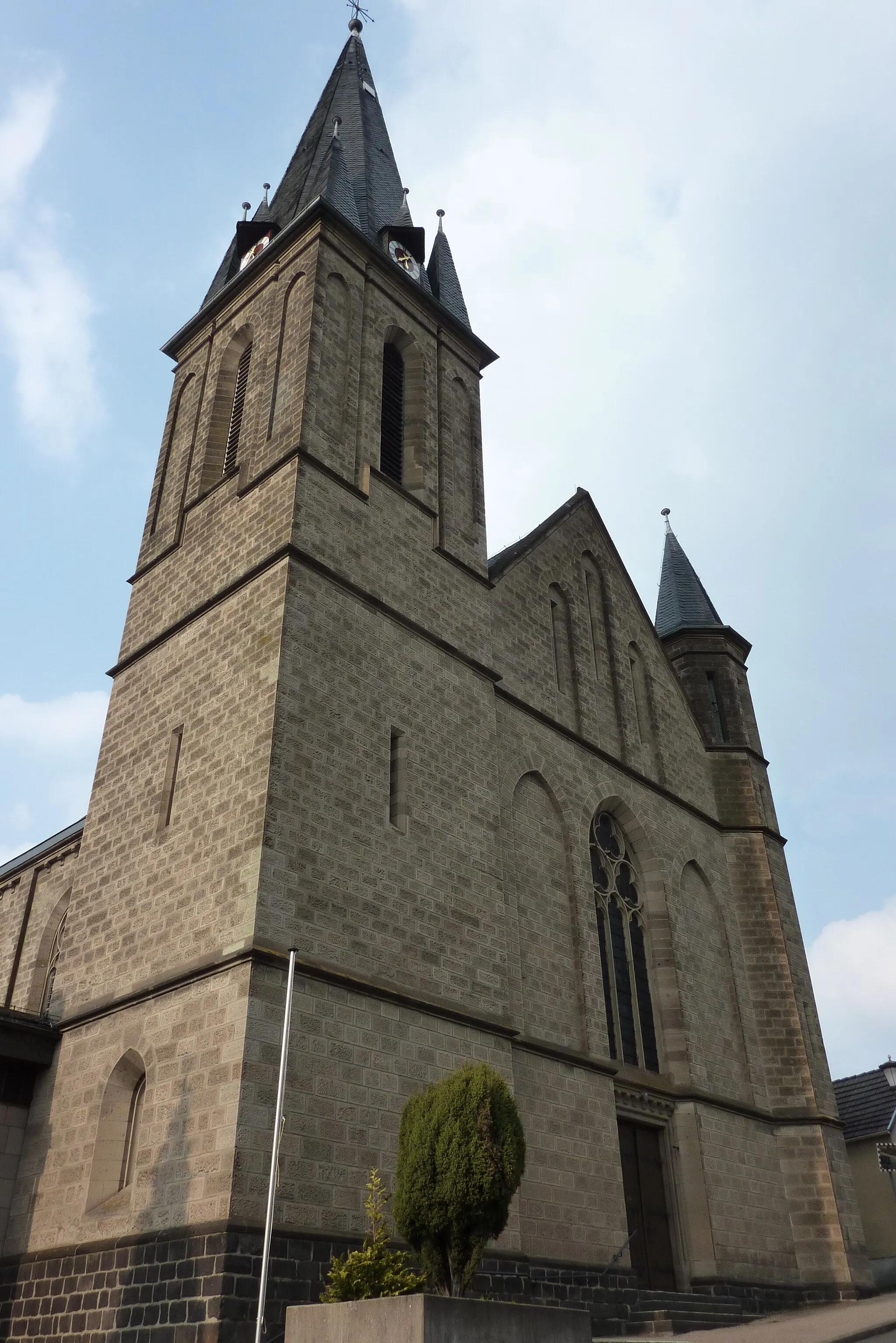
MüschVillageExplore Müsch, a picturesque village surrounded by rolling hills and traditional Eifel architecture.
26 km
26 km
LommersdorfVillagePass by Lommersdorf, a historic village featuring well-preserved buildings and a tranquil atmosphere.
44 km
44 km
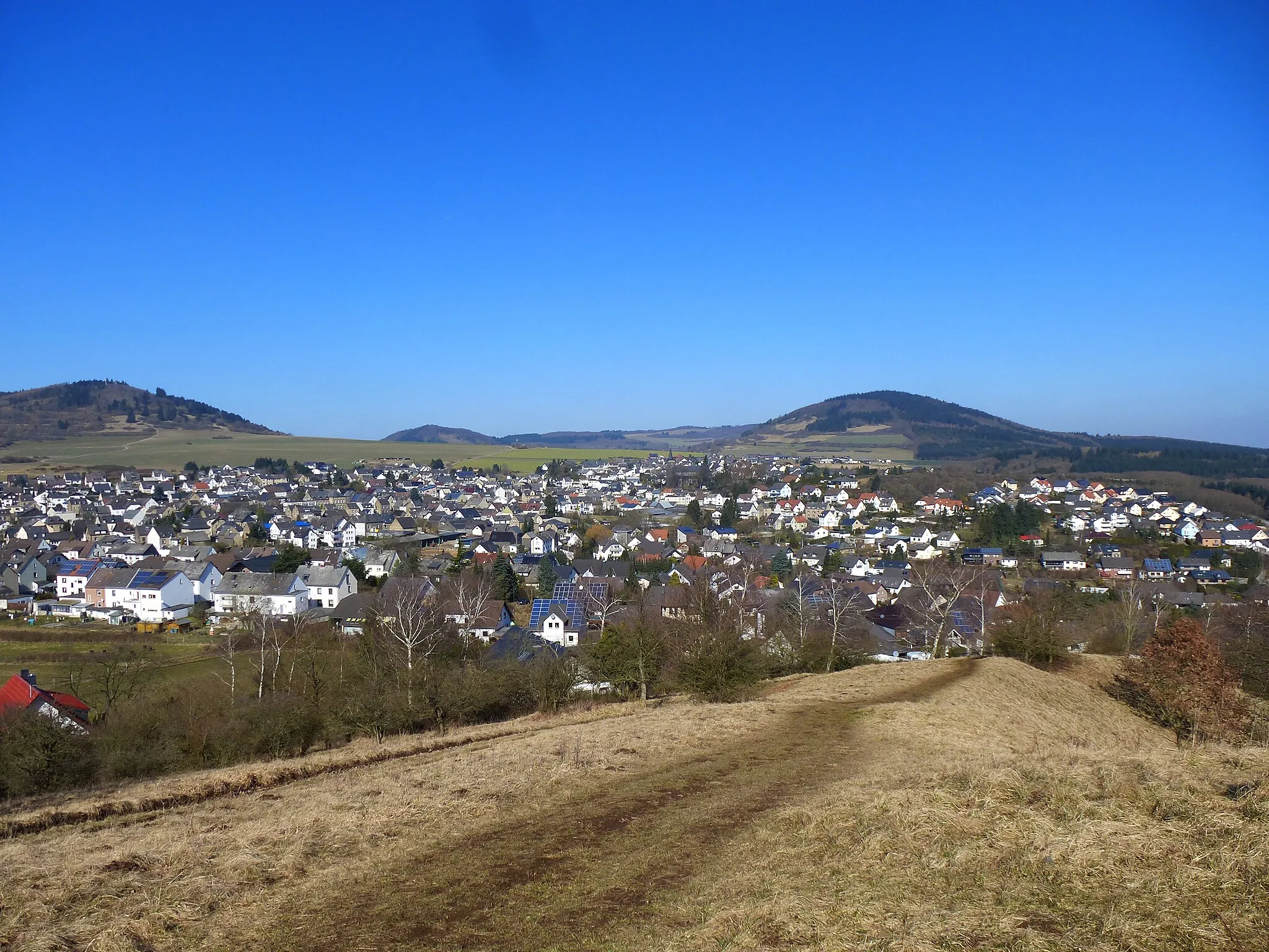
Halsberg382 mPeakAscend to Halsberg for stunning panoramic views of the surrounding countryside, with its charming Eifel landscapes.
49 km
49 km
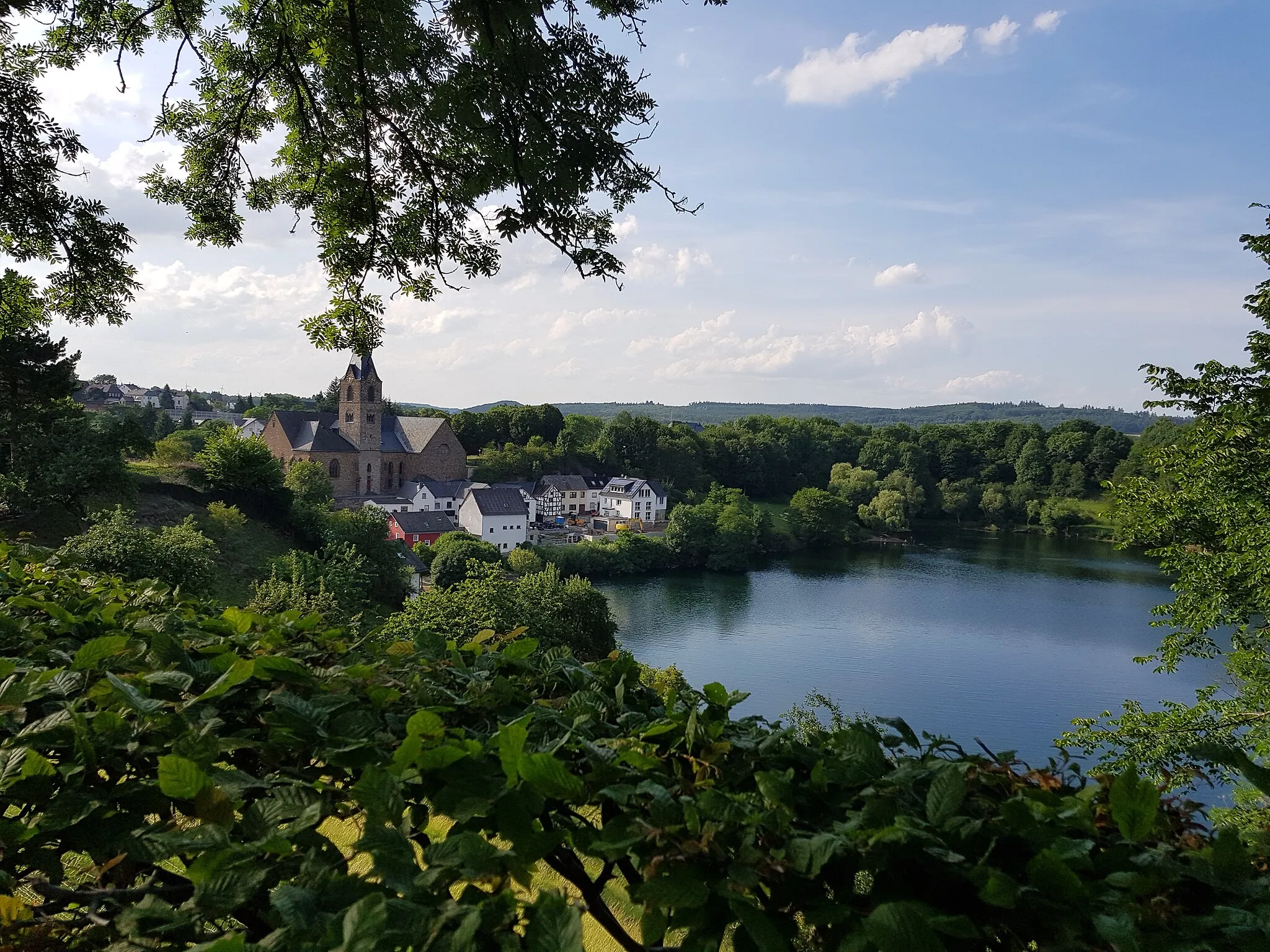
Römische KanalmeistereiAttractionVisit the Römische Kanalmeisterei, a site showcasing Roman engineering and the historical significance of the region.
63 km
63 km
WißkirchenVillageExperience the tranquility of Wißkirchen amidst picturesque farmland and idyllic countryside scenery.
68 km
68 km
Stele Foto-Beobachtungsstation/ForscherstationViewpointMarvel at the Stele Foto-Beobachtungsstation/Forscherstation, an art installation and observation tower providing stunning views of the Eifel landscapes.
78 km
78 km
Strohberg285 mPeakPause at Strohberg and enjoy the scenic beauty and peacefulness of this quaint village.
90 km
90 km
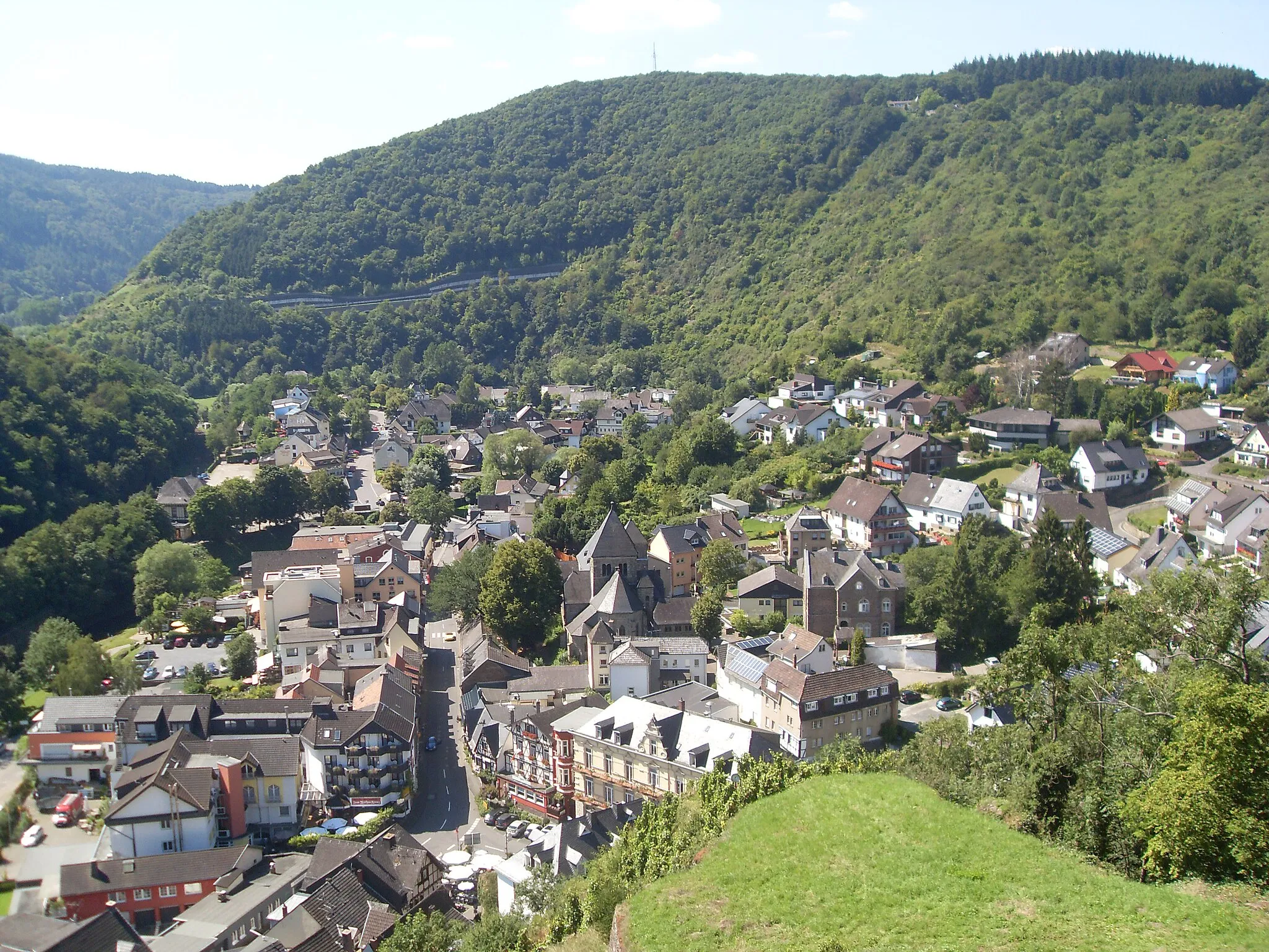
KirchsahrVillagePass through Kirchsahr, a charming town with traditional architecture and welcoming local culture.
99 km
99 km
Hohe Nück426 mPeakAdmire Hohe Nück, a lookout point offering panoramic vistas of the rolling hills and picturesque valleys of the Eifel region.
106 km
106 km
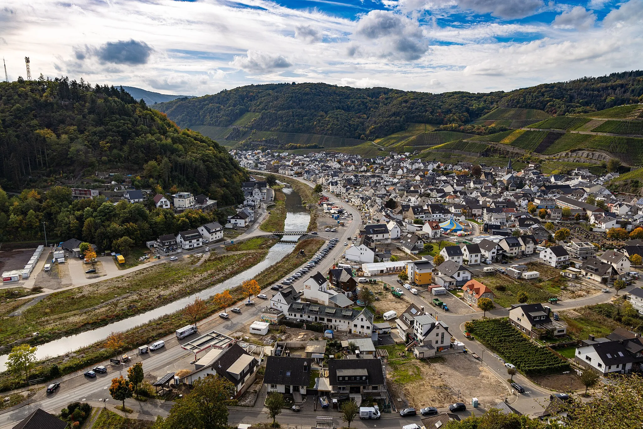
DümpelfeldVillageHead to Dümpelfeld, a hidden gem surrounded by idyllic countryside and a peaceful atmosphere.
114 km
114 km
AdenauTownExplore Adenau, a historic town with a rich heritage and charming architecture, nestled amidst the picturesque Eifel landscapes.
115 km
115 km
Kallenhard470 mPeakMarvel at Kallenhard, a tranquil spot with panoramic views of the Eifel region and its diverse landscapes.
116 km
116 km
Finish: Breidscheid Village centerAdenau: Discover the picturesque landscapes and legendary Nürburgring in Adenau.
Cycling routes nearby: