Rheintal Gravel Ride
A gravel cycling route starting from Bad Breisig
An exciting gravel ride through the beautiful Rheintal region.
Map
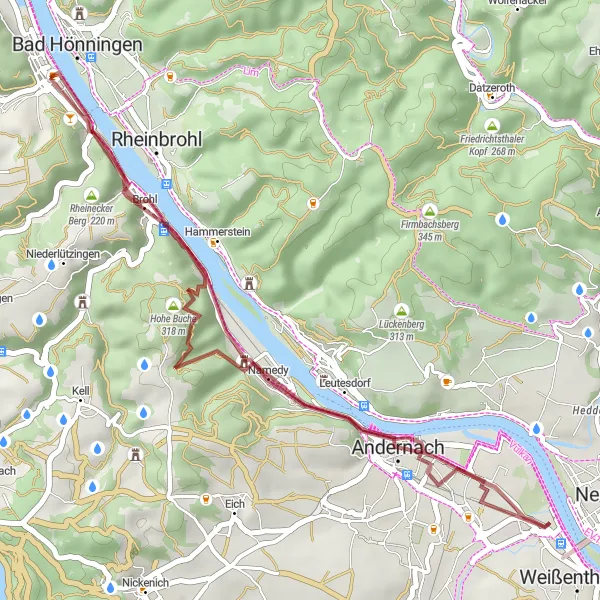
Navigate your way through the scenic Rheintal region on this gravel ride starting near Bad Breisig. With a total ascent of 415 meters and a distance of 35 kilometers, this route offers a challenging yet achievable experience for gravel enthusiasts. Pass by highlights such as the Krahnenberg, Rheintor, Hohe Buche, and Augustenhöhe, each offering unique views and experiences along the way.
gravel
35 km
415 m
Tough
Route profile
Highlights on the route
0 km
0 km
Start: Bad Breisig City centerBad Breisig: Cycling Adventures Along the Rhine River in Bad Breisig
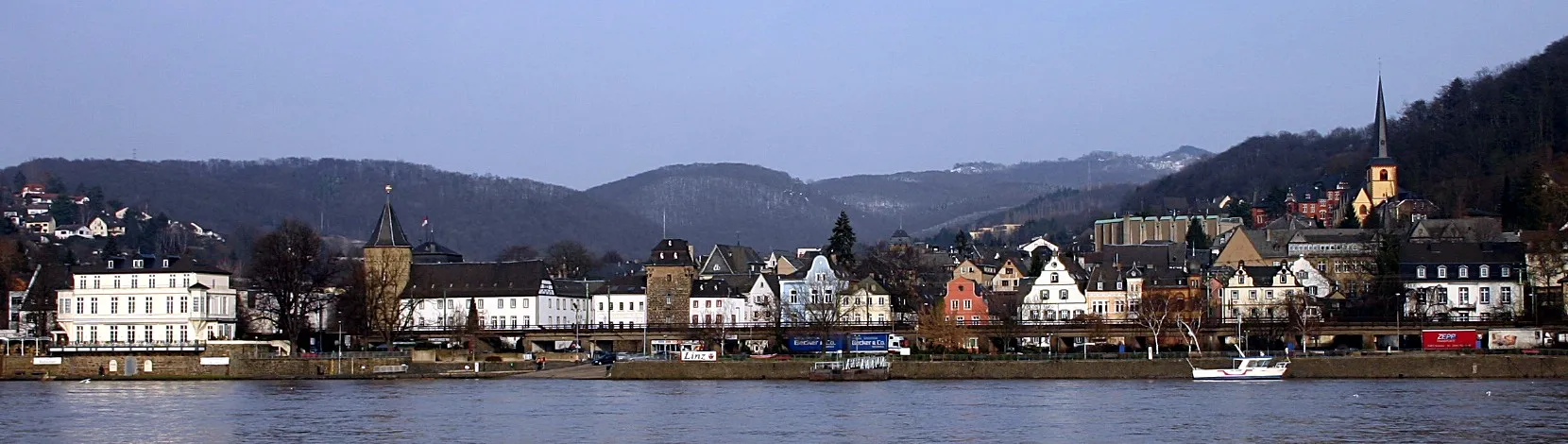
Bad Breisig is a picturesque town located in the Koblenz region of Germany. It offers scenic routes for road and gravel cyclists to enjoy. The town is situated along the beautiful Rhine River, providing cyclists with stunning views while riding along its banks. Bad Breisig is also surrounded by vineyards, making it a great destination for wine-loving cyclists. Cyclists can explore the surrounding landscape, including the famous Ahr Valley, which offers challenging climbs and picturesque scenery. With its beautiful river views and access to renowned cycling routes, Bad Breisig ranks as a 4 on the cyclist perspective scale.0 km
0 km
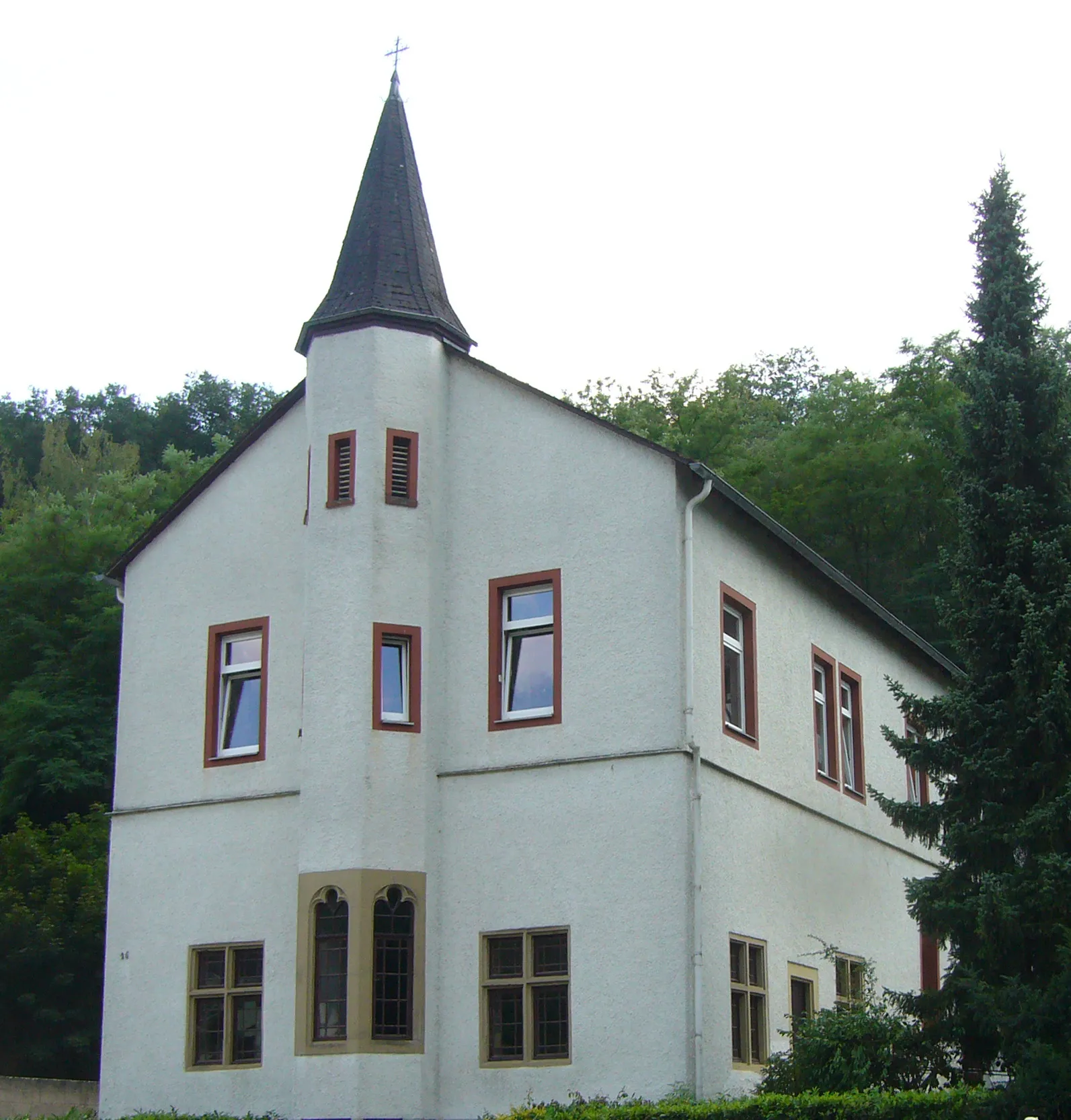
Bad BreisigTownBad Breisig - The starting point of the ride, this charming town is known for its thermal baths and historic buildings.
10 km
10 km
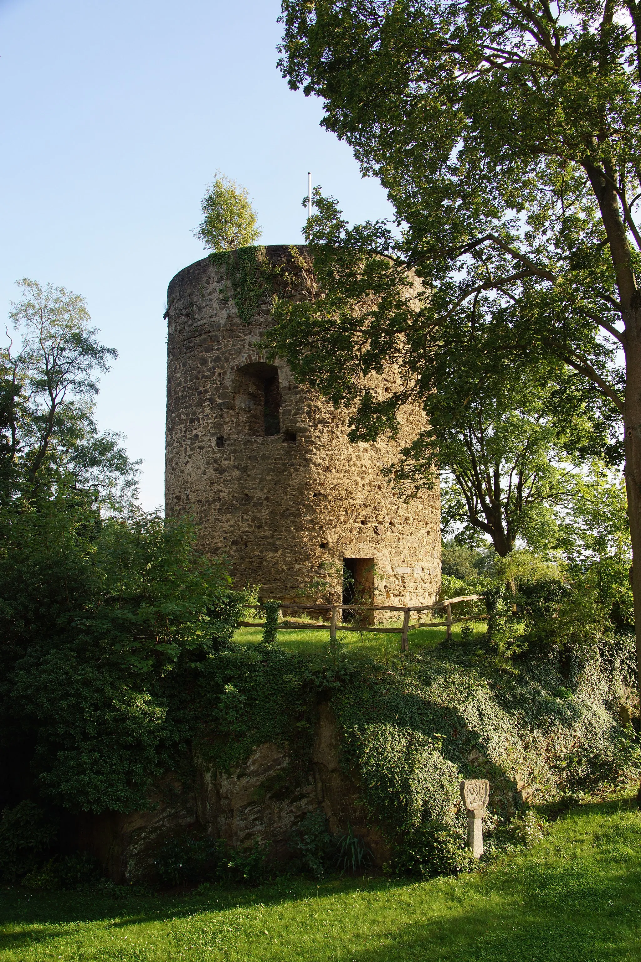
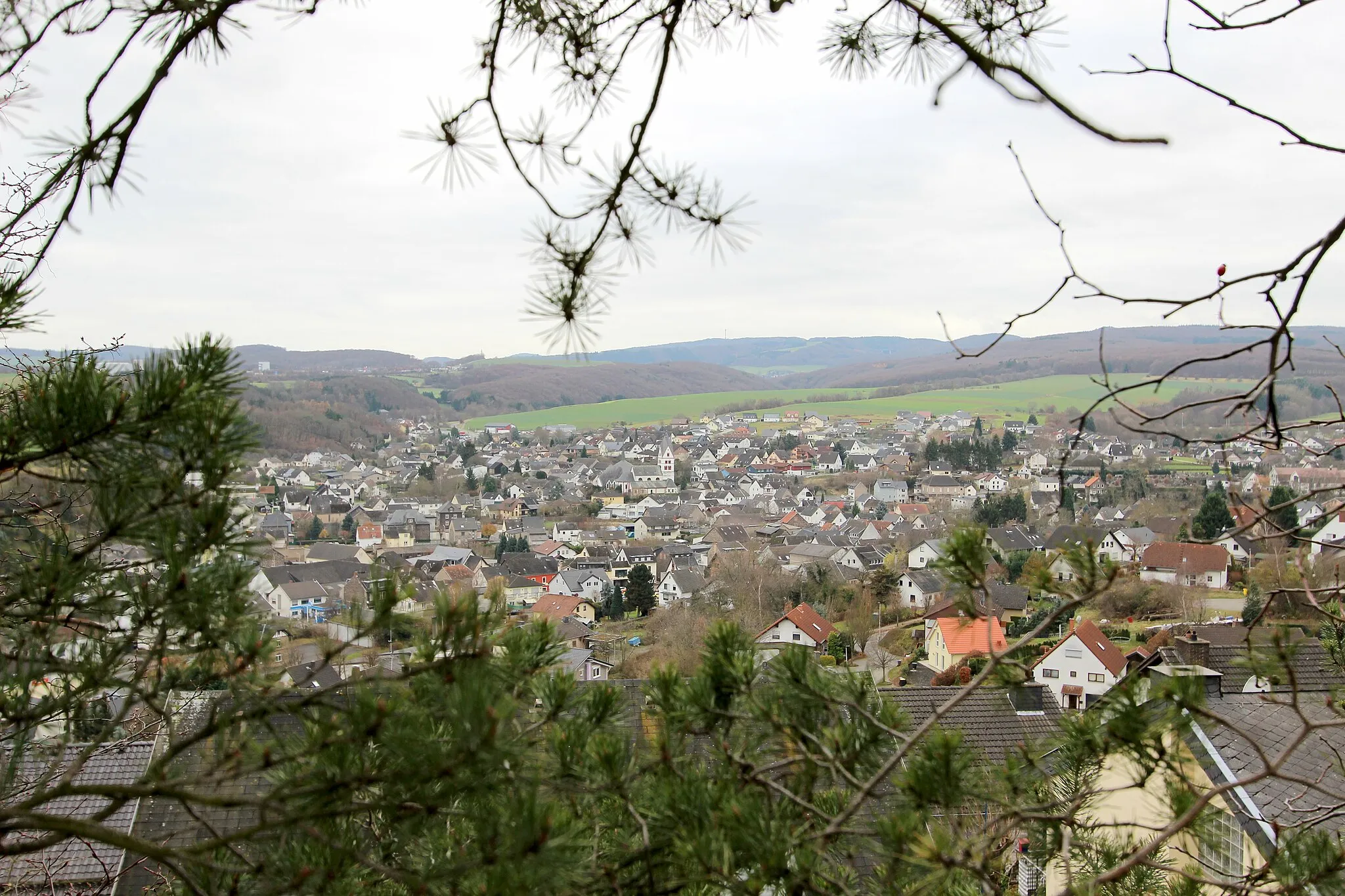
KrahnenbergViewpointKrahnenberg - A hill with a viewpoint showcasing panoramic vistas of the Rhein river and surrounding landscape.
20 km
20 km
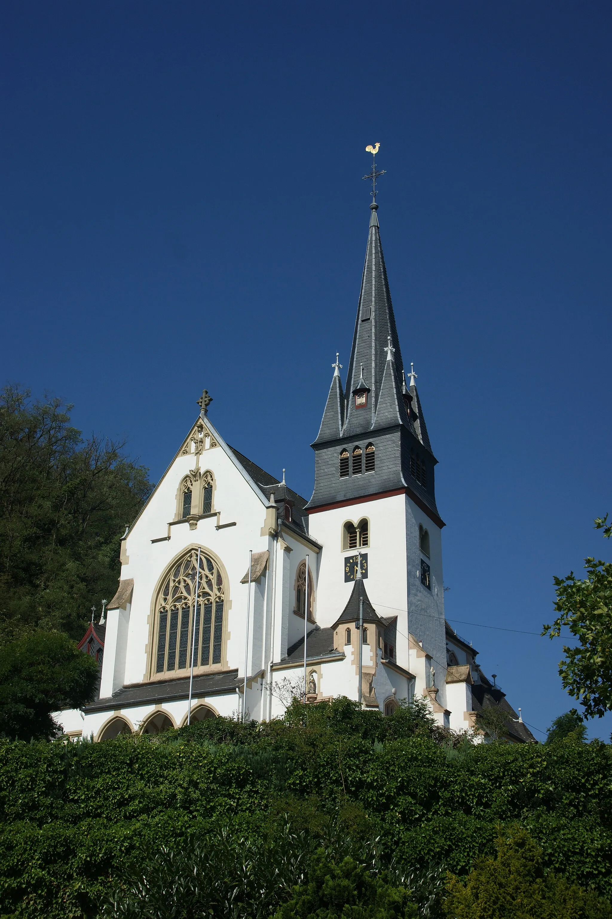
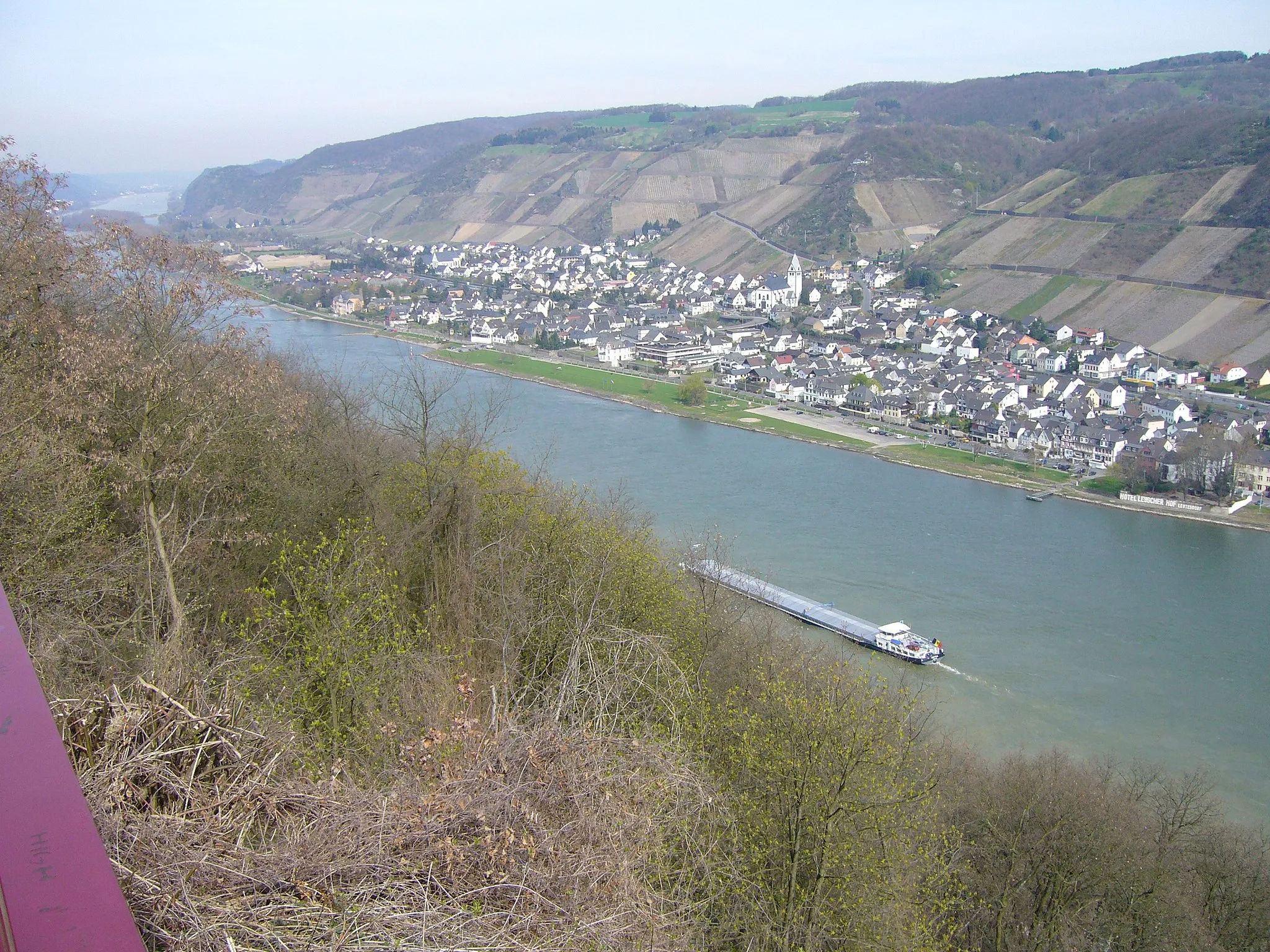
RheintorAttractionRheintor - A historic gate marking the entrance to the town of Andernach, providing a glimpse into its medieval past.
28 km
28 km
Hohe Buche318 mPeakHohe Buche - An elevated spot offering stunning views of the Rheintal region, perfect for a break during the ride.
35 km
35 km
Augustenhöhe207 mPeakAugustenhöhe - Reach the highest point of the route and enjoy breathtaking panoramic views of the surrounding countryside.
35 km
35 km
FichtelhütteShelterFichtelhütte - A picturesque forested area with a cozy hut, ideal for a rest or picnic stop.
35 km
35 km
Finish: Bad Breisig City centerBad Breisig: Cycling Adventures Along the Rhine River in Bad Breisig
Cycling routes nearby: