Bad Breisig Loop
A road cycling route starting from Bad Breisig
A scenic loop featuring the charming town of Bad Breisig
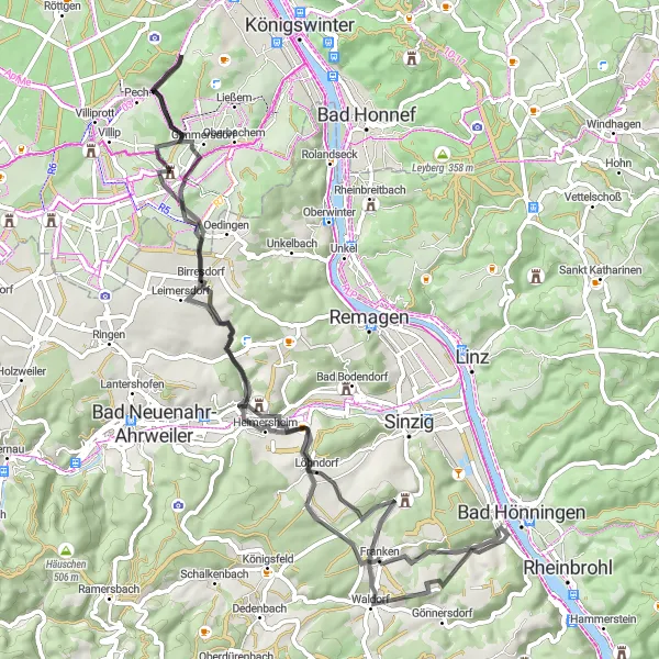
Map
The Bad Breisig Loop is a picturesque cycling route starting near Bad Breisig. It covers a distance of 69 kilometers with a total ascent of 984 meters. The route is suitable for road bikes and offers a moderate level of difficulty. The highlights along the route include Trotzenberg, Ehlinger Lei, Nierendorf, Burg Odenhausen, Wachtberg, Landskrone, Löhndorf, Waldorf, and Augustenhöhe. These highlights offer scenic views, historic landmarks, and interesting natural landscapes. Overall, the Bad Breisig Loop is a great option for cyclists who enjoy beautiful scenery and exploring historic sites.
road
69 km
984 m
Tough
Route profile
Highlights on the route
0 km
0 km
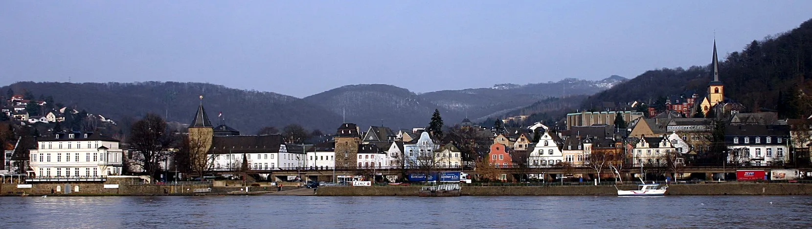
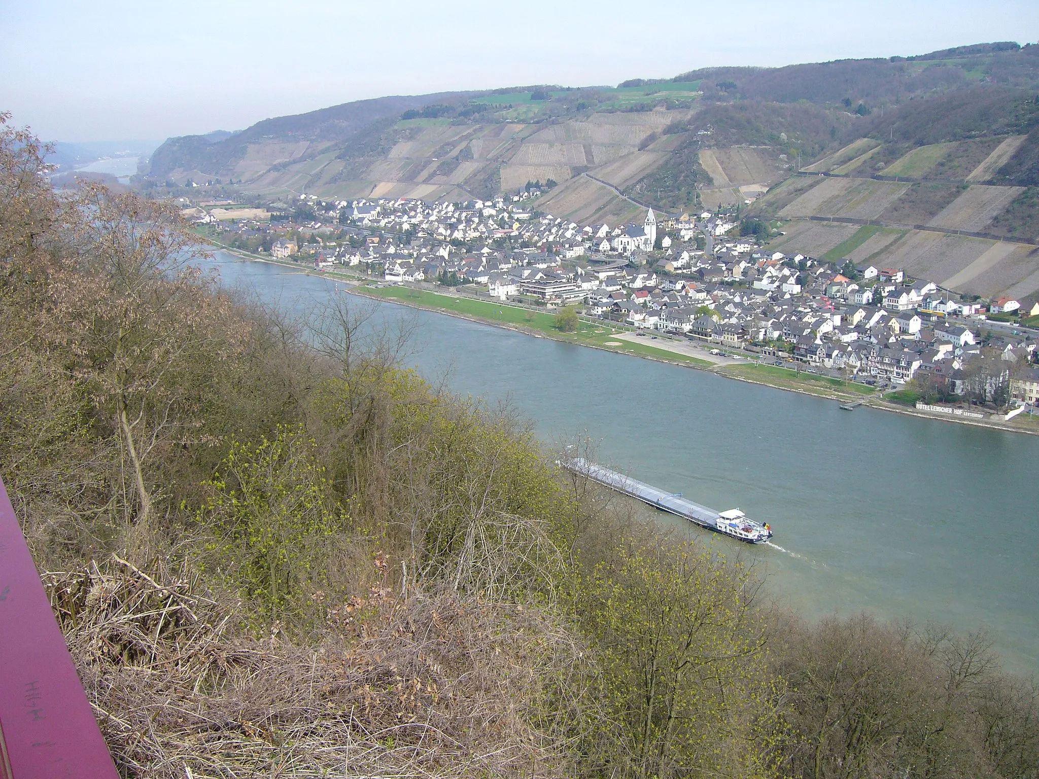
Start: Bad Breisig City centerBad Breisig: Cycling Adventures Along the Rhine River in Bad Breisig
Bad Breisig is a picturesque town located in the Koblenz region of Germany. It offers scenic routes for road and gravel cyclists to enjoy. The town is situated along the beautiful Rhine River, providing cyclists with stunning views while riding along its banks. Bad Breisig is also surrounded by vineyards, making it a great destination for wine-loving cyclists. Cyclists can explore the surrounding landscape, including the famous Ahr Valley, which offers challenging climbs and picturesque scenery. With its beautiful river views and access to renowned cycling routes, Bad Breisig ranks as a 4 on the cyclist perspective scale.0 km
0 km
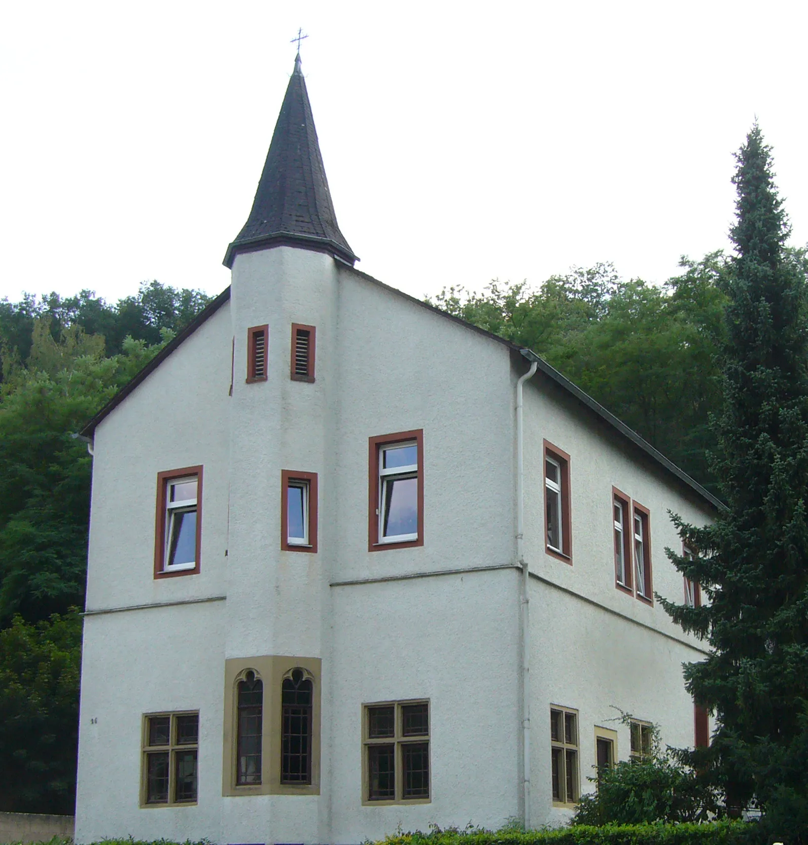
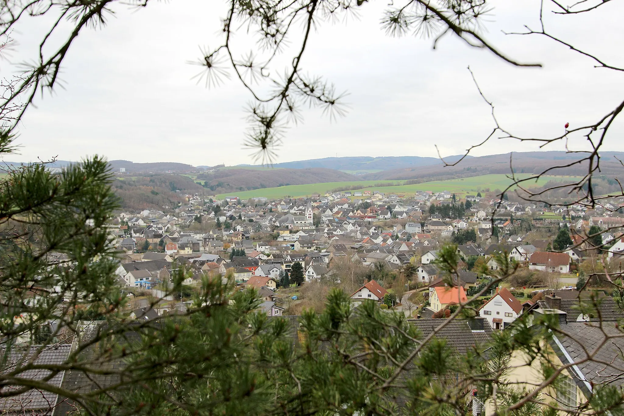
Bad BreisigTownBad Breisig is a charming town with a rich history and beautiful architecture
1 km
1 km
Trotzenberg207 mPeakTrotzenberg offers a quick stop with a viewpoint near the route
12 km
12 km
Ehlinger LeiViewpointEhlinger Lei is a scenic hill with rolling meadows
19 km
19 km
NierendorfVillageNierendorf is a quaint village with traditional German houses
38 km
38 km
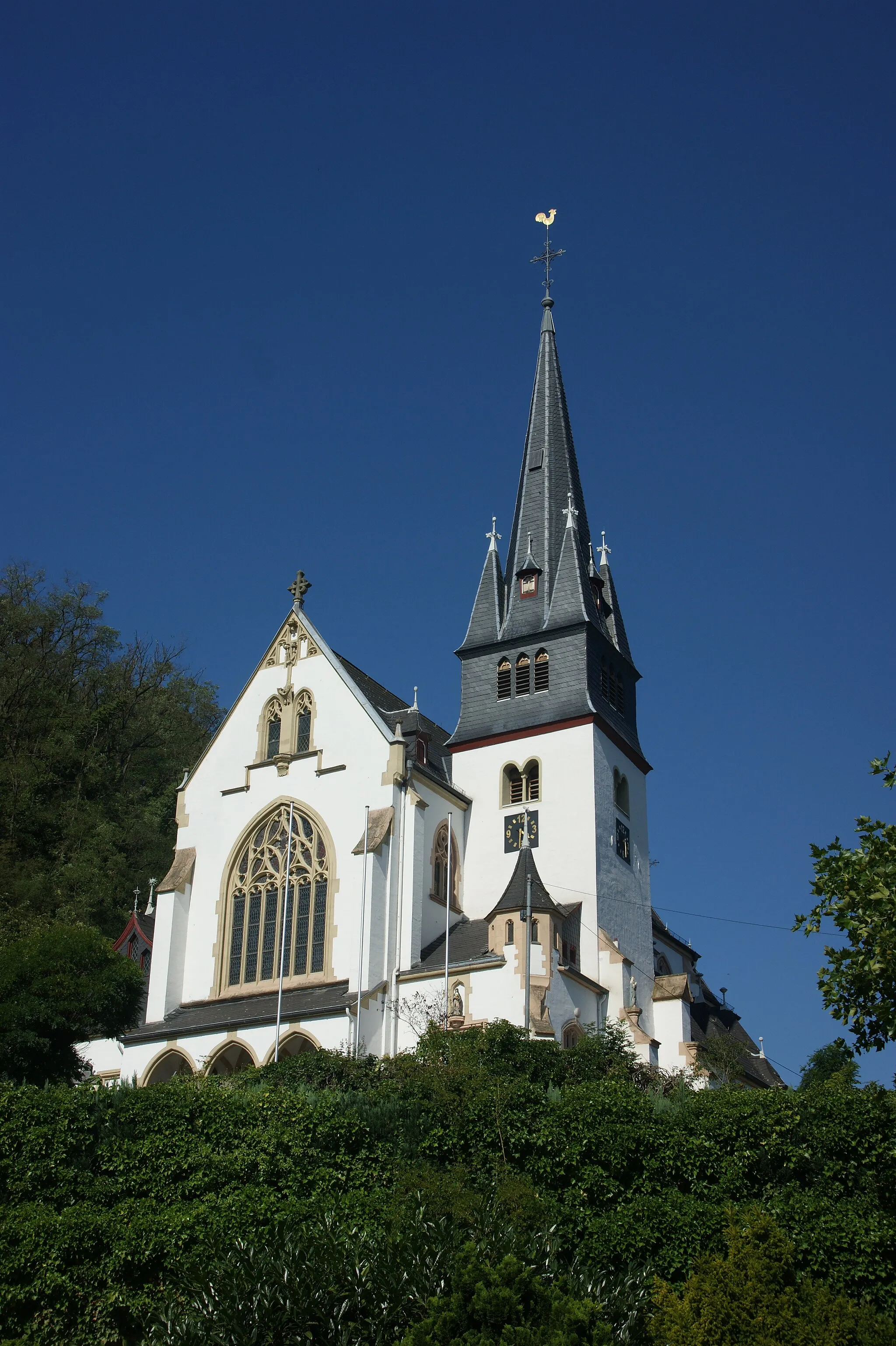
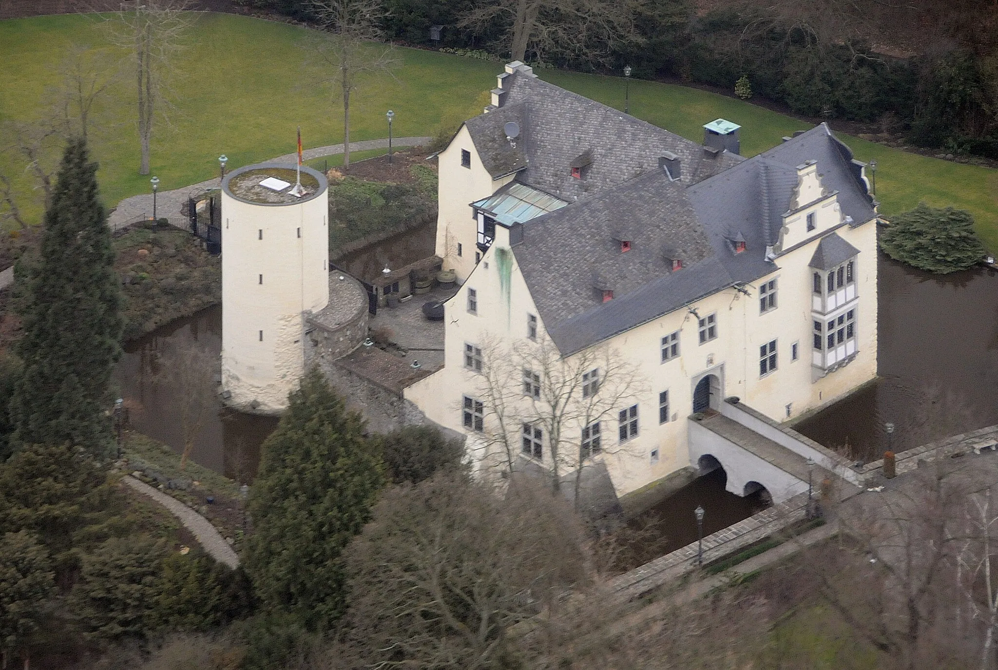
Burg OdenhausenCastleBurg Odenhausen is a historic castle with a commanding presence
38 km
38 km
Wachtberg258 mPeakWachtberg offers panoramic views of the surrounding countryside
50 km
50 km
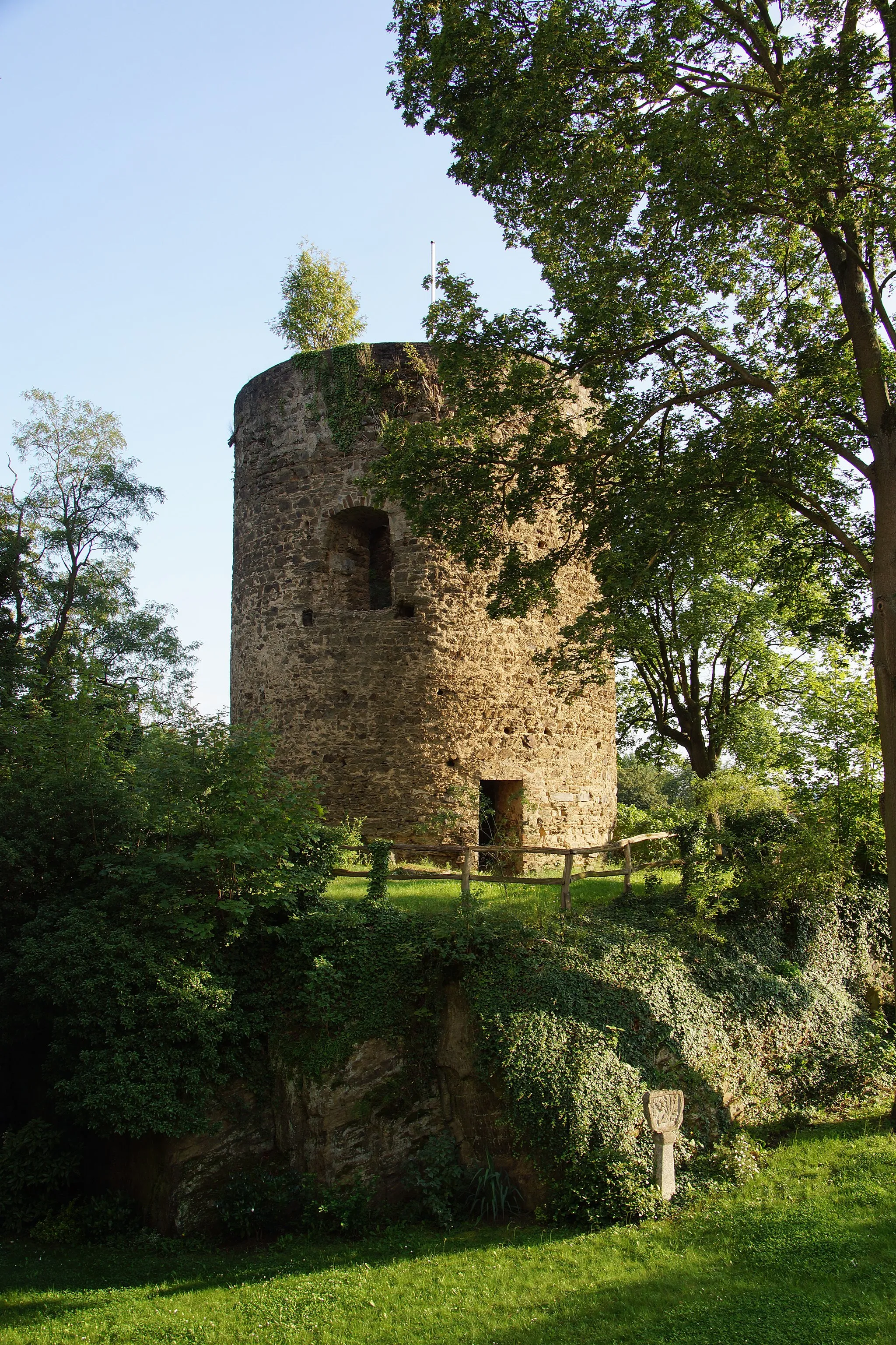
Landskrone272 mPeakLandskrone is a hilltop ruin with sweeping views of the Rhine Valley
54 km
54 km
LöhndorfVillageLöhndorf is a charming village known for its beautiful old timber-framed houses
62 km
62 km
WaldorfVillageWaldorf is a serene village surrounded by lush forests and rolling fields
69 km
69 km
Augustenhöhe207 mPeakAugustenhöhe offers stunning views of the nearby Rhine River
69 km
69 km
Finish: Bad Breisig City centerBad Breisig: Cycling Adventures Along the Rhine River in Bad Breisig
Cycling routes nearby: