Road Cycling Adventure to Mastershausen
A road cycling route starting from Bell
Embark on a challenging road cycling journey from Bell to Mastershausen.
Map
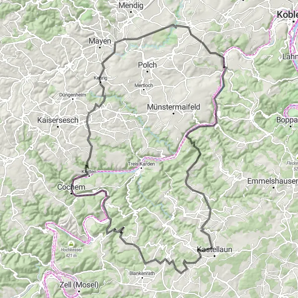
This road cycling route from Bell to Mastershausen covers a distance of 123 kilometers with a challenging ascent of 1940 meters. Along the way, you'll pass through scenic towns like Galgenturm, Ernst, Wirfus, and Niederfell. The route is perfect for experienced cyclists looking for a thrilling adventure.
road
123 km
1940 m
Savage
Route profile
Highlights on the route
0 km
0 km
Start: Bell Village centerBell: Enjoyable cycling in a rolling landscape.
Bell is a locality in Koblenz, Germany. In terms of cycling, Bell offers decent options for both road and gravel cyclists. The area has some rolling hills and picturesque landscapes, making it an enjoyable place to ride. However, there are no famous cycling-related spots or well-known climbs nearby. Overall, Bell provides a pleasant cycling experience, suitable for riders looking for a moderately challenging and scenic ride.9 km
9 km
GalgenturmViewpointGalgenturm is an ancient tower offering a panoramic view of the surrounding countryside.
9 km
9 km
MastershausenVillageMastershausen is a charming town known for its historic buildings and traditional festivals.
32 km
32 km
ErnstVillageErnst is a picturesque village nestled in the heart of the German countryside.
46 km
46 km
WirfusVillageWirfus is a peaceful town surrounded by lush green fields and forests.
52 km
52 km
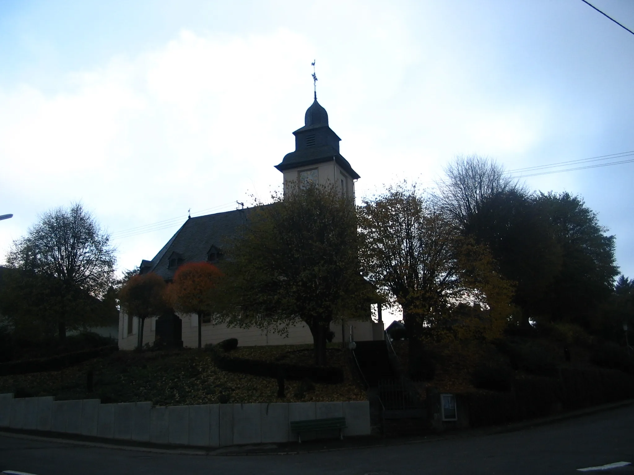
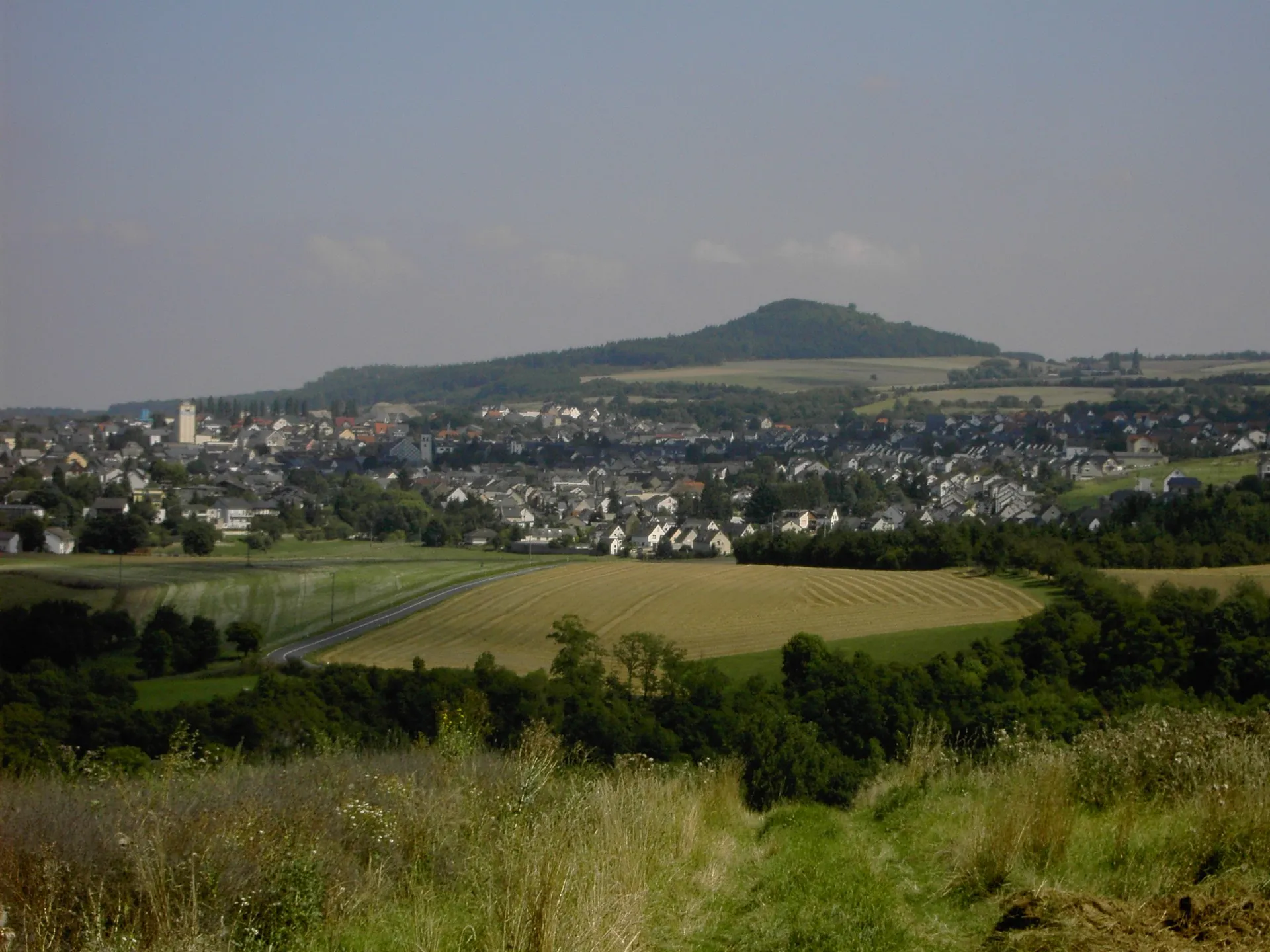
Hellenberg362 mPeakHellenberg is a small village with a beautiful church and stunning views.
76 km
76 km
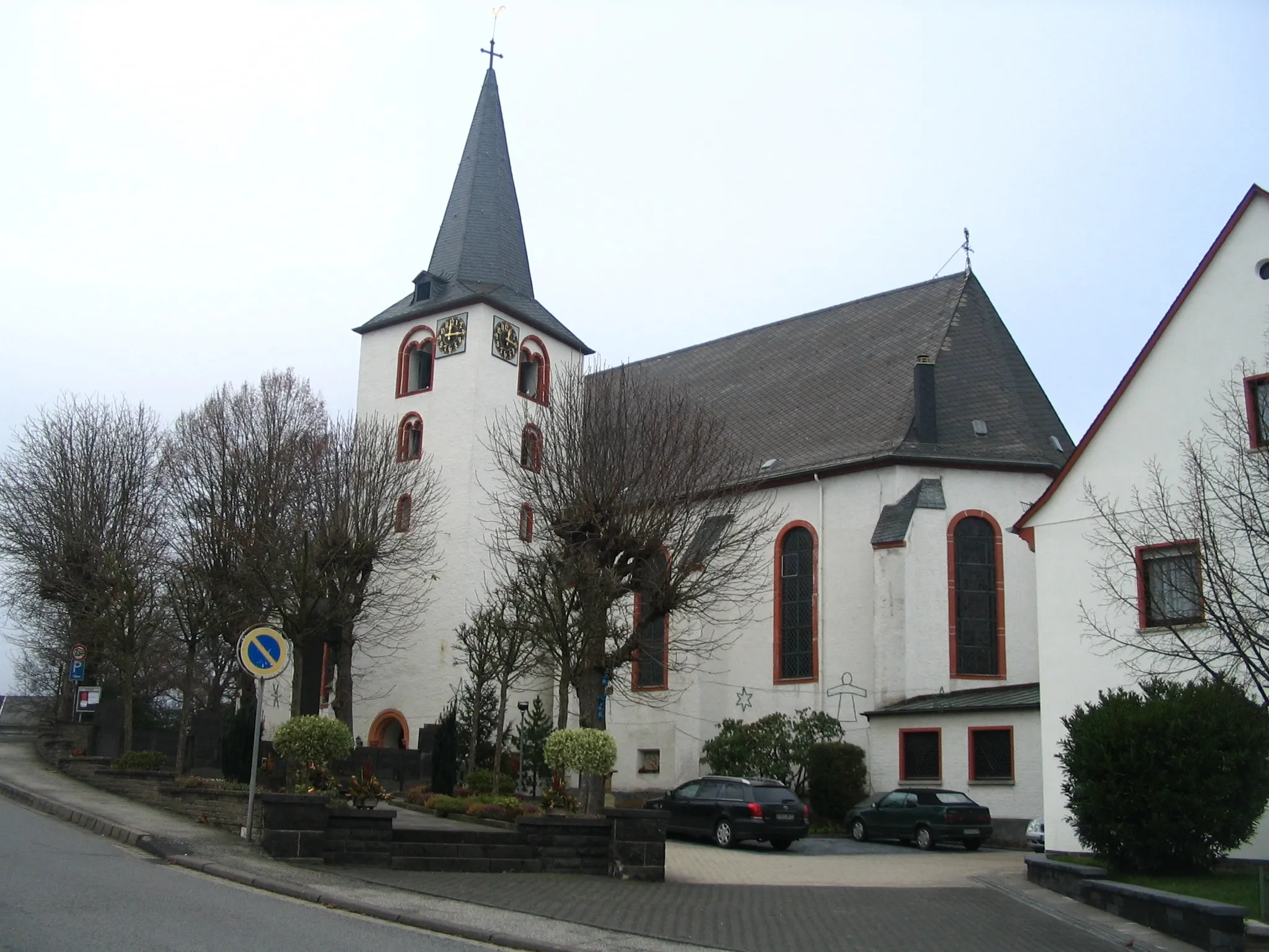
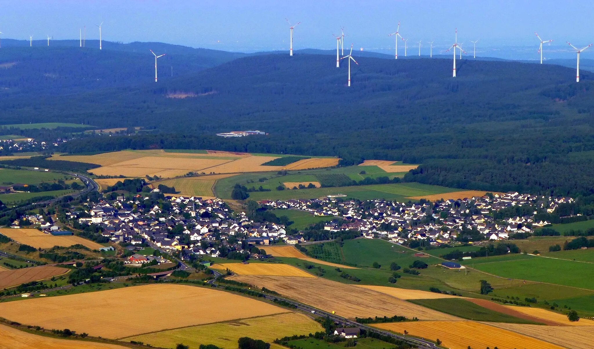
OchtendungVillageOchtendung is a historic town known for its well-preserved medieval architecture.
85 km
85 km
NiederfellVillageNiederfell is a riverside village with charming cafes and a lively atmosphere.
86 km
86 km
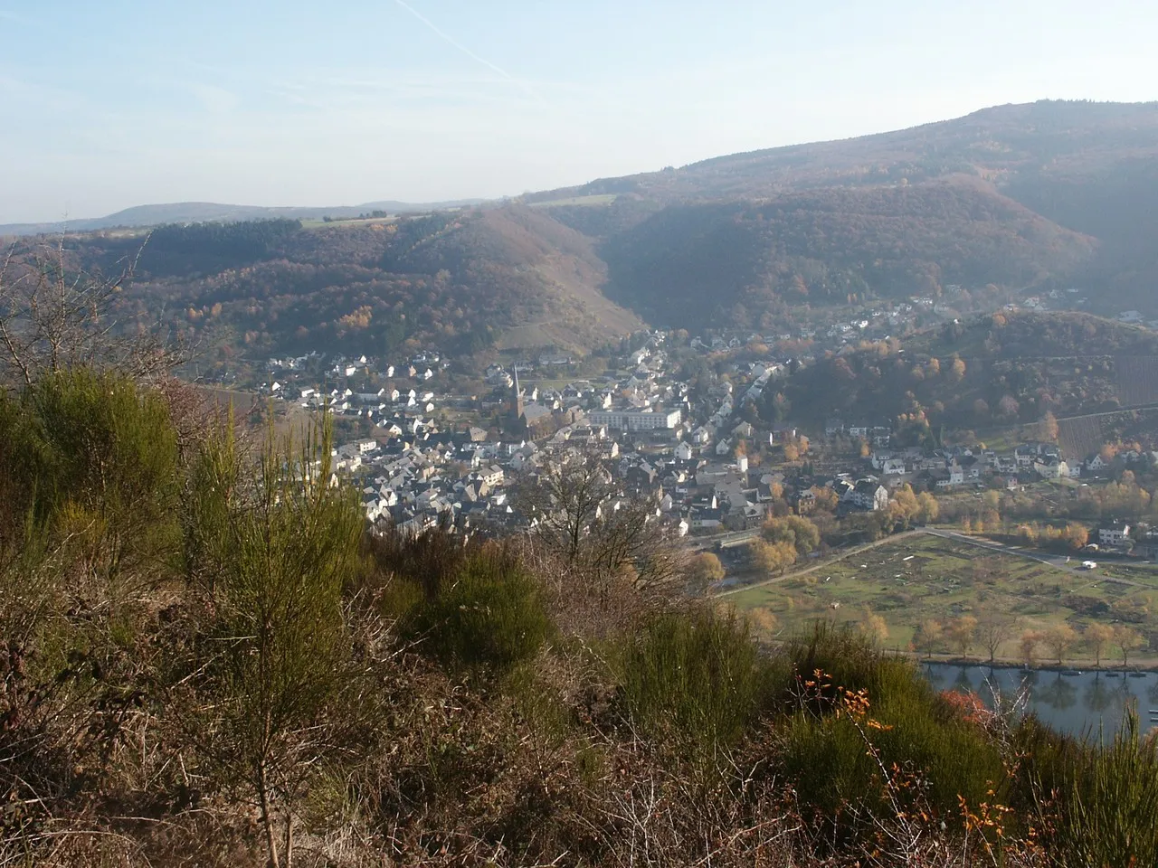
CarlshöheViewpointCarlshöhe is a hilltop offering panoramic views of Mastershausen and the surrounding area.
94 km
94 km
BrodenbachVillageBrodenbach is a picturesque town along the Moselle River, known for its medieval castle ruins.
106 km
106 km
Otto-Andreas-TurmViewpointOtto-Andreas-Turm is a tower offering stunning views of the surrounding countryside.
115 km
115 km
KorweilerVillageKorweiler is a traditional German village with charming half-timbered houses.
120 km
120 km
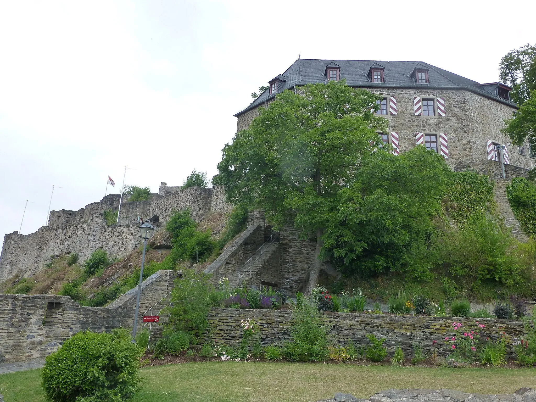
KastellaunTown ViewpointKastellaun is a historic town with a well-preserved medieval castle.
123 km
123 km
Finish: Bell Village centerBell: Enjoyable cycling in a rolling landscape.
Cycling routes from Bell:
Cycling routes nearby: