Untamed Gravel Expedition from Hamm
A gravel cycling route starting from Hamm (Sieg)
Embark on a daring gravel expedition from Hamm building towards incredible viewpoints.
Map
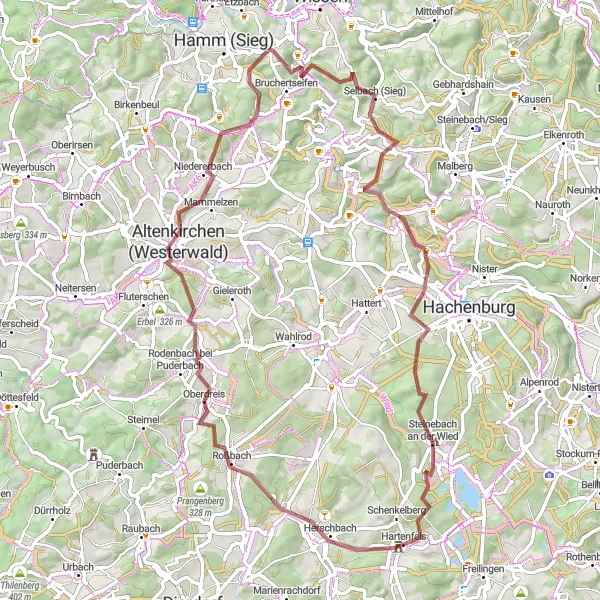
Dive into the untamed wilderness surrounding Hamm on this 68-kilometer gravel bike route that guarantees an exciting adventure. With an ascent of 1373 meters, this route offers a challenge for experienced bikers looking to explore the remote areas of the region. Along the way, be prepared to discover beautiful viewpoints, historic sites, and charming villages that showcase the unique character of the area.
gravel
68 km
1373 m
Tough
Route profile
Highlights on the route
0 km
0 km
Start: Roth Village centerHamm (Sieg): Enjoying peaceful rides through charming villages and countryside in Koblenz.
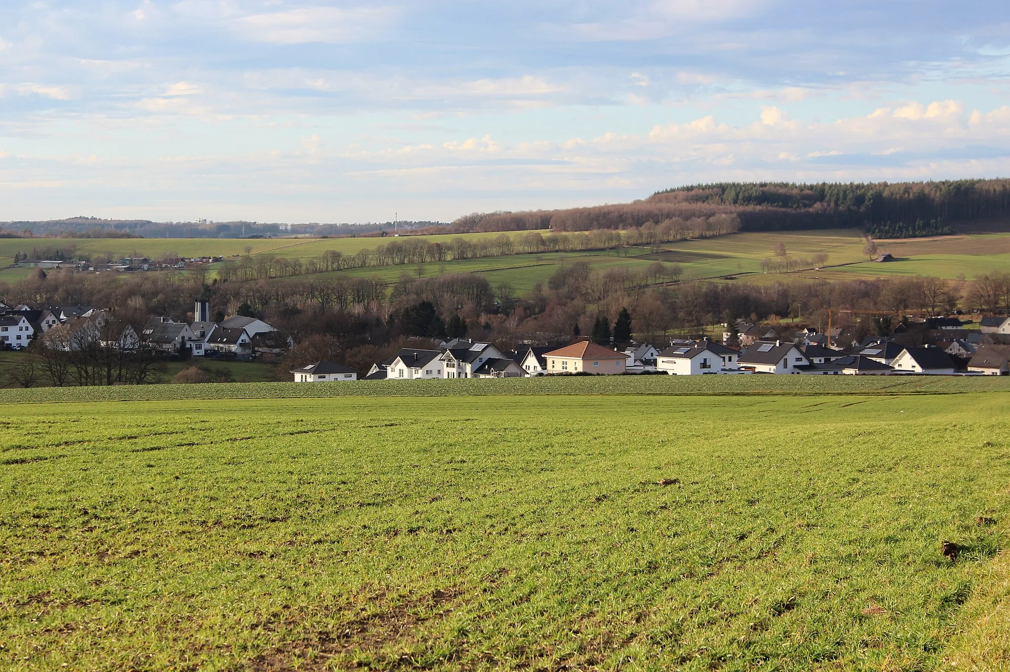
Hamm (Sieg) is a locality in Koblenz, Germany. From a cyclist's perspective, Hamm (Sieg) offers a mix of flat stretches and rolling hills suitable for both leisurely road cycling and gravel riding. The region is known for its charming countryside and picturesque villages, providing a pleasant and peaceful riding experience. Near Hamm (Sieg), cyclists can explore Altenkirchen, a historic town with traditional architecture. Overall, Hamm (Sieg) receives a rank of 3 for its scenic routes and charming surroundings.16 km
16 km
AstertVillageAstert, located just 16 kilometers into the route, presents a stunning viewpoint that grants sweeping vistas of the surrounding landscapes.
16 km
16 km
Aßberg327 mPeakAßberg is not only a picturesque spot, but it also offers captivating panoramic views at the 16-kilometer mark.
22 km
22 km
Aussichtspunkt Bergkreuz AltstadtViewpointAussichtspunkt Bergkreuz Altstadt is an idyllic viewpoint situated 22 kilometers into the route, summoning riders to pause and admire the beauty of the region.
27 km
27 km
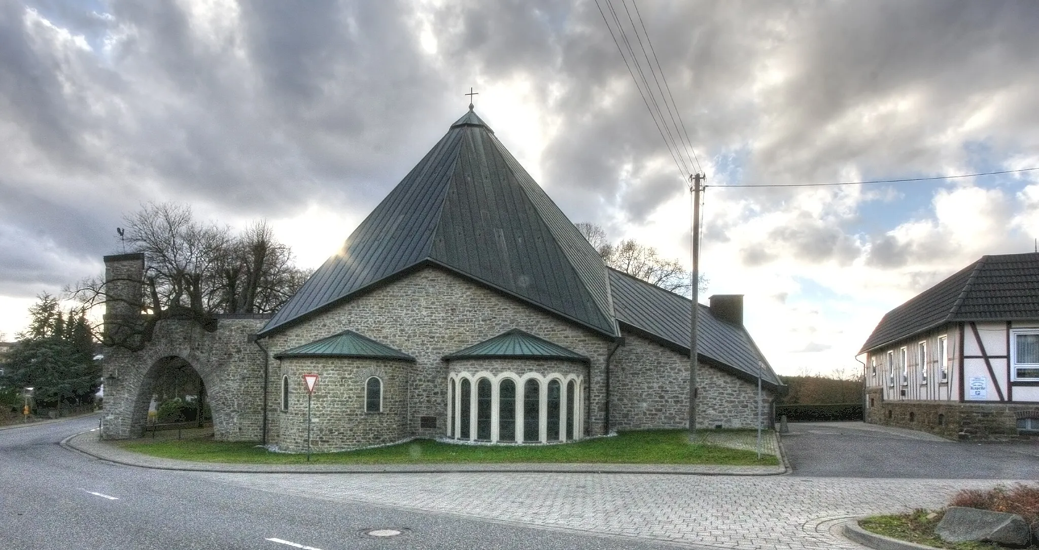
Steinebach an der WiedVillageSteinebach an der Wied, encountered at the 27-kilometer point, boasts charming timber-framed houses and a tranquil ambiance.
40 km
40 km
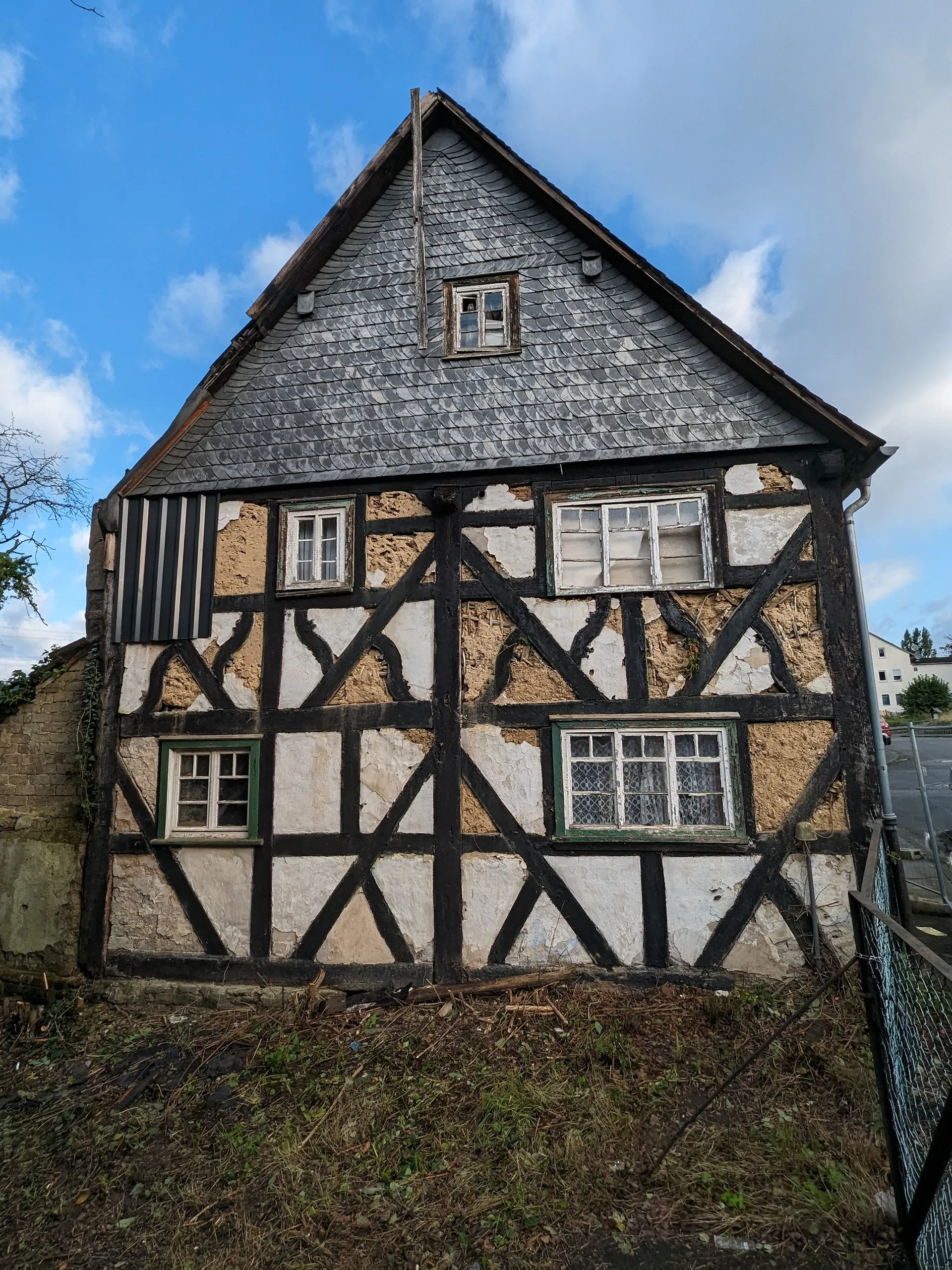
FreirachdorfVillageFreirachdorf, located at the 40-kilometer mark, invites visitors to explore its historic past and admire its preserved architectural gems.
54 km
54 km
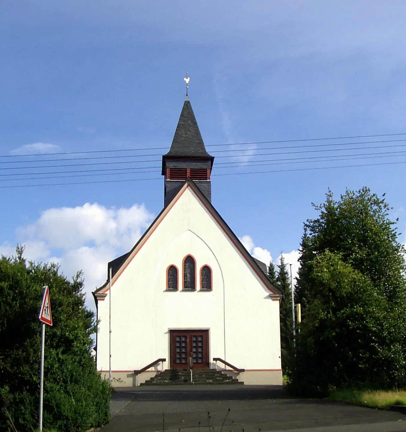
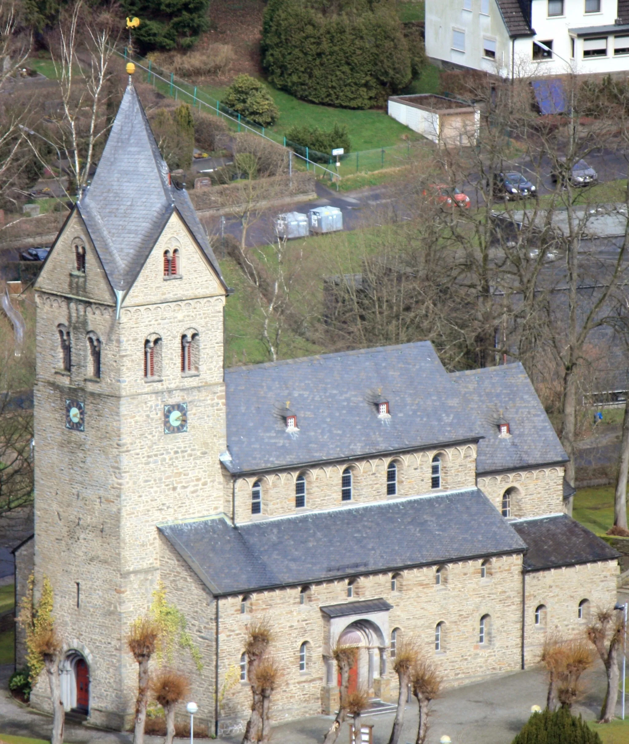
Johannisberg289 mPeakJohannisberg, found at the 54-kilometer mark, is home to a striking hilltop church and offers magnificent views of the surrounding countryside.
56 km
56 km
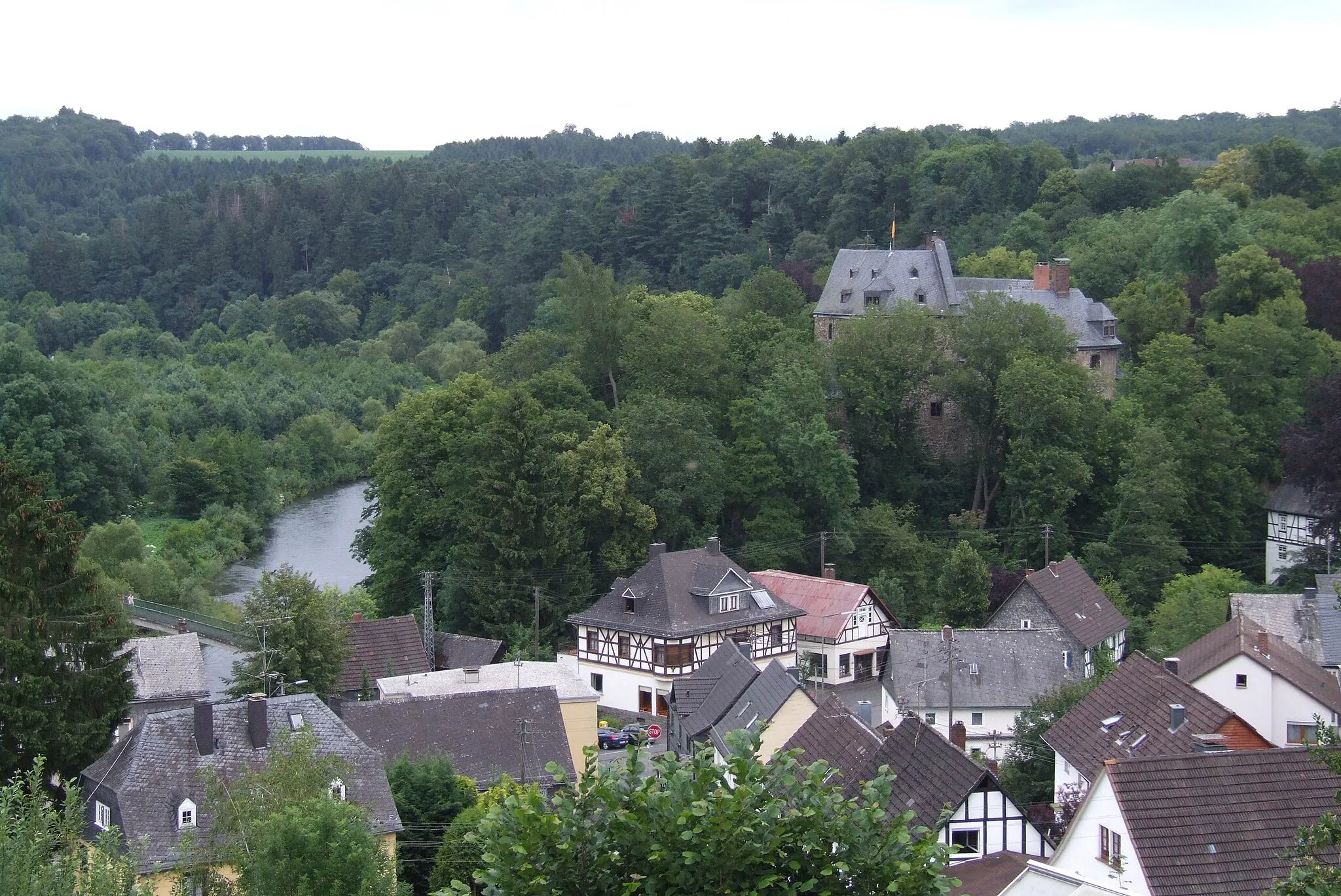
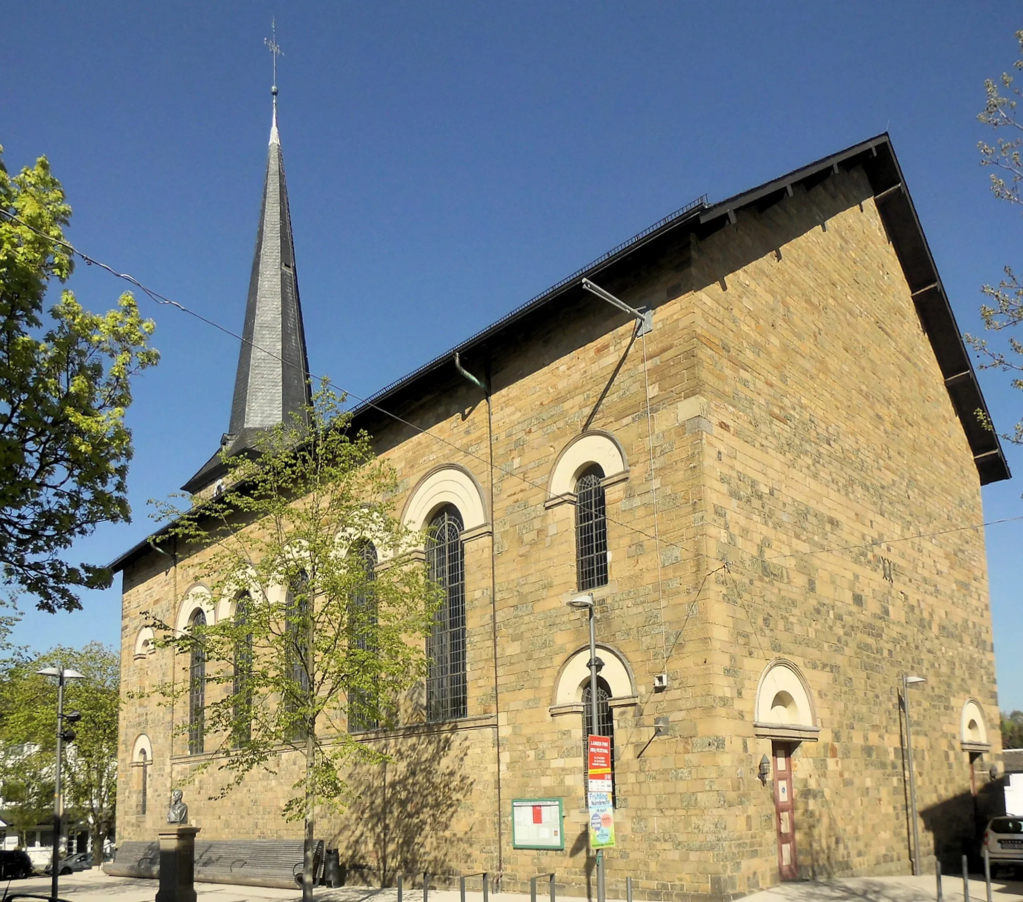
Altenkirchen (Westerwald)TownAltenkirchen (Westerwald), positioned at the 56-kilometer point, captivates with its historic buildings and cultural significance.
68 km
68 km
HämmerholzVillageHämmerholz, located at the 68-kilometer mark, features beautiful forests and peaceful scenery, providing a refreshing break for cyclists.
68 km
68 km
Finish: Roth Village centerHamm (Sieg): Enjoying peaceful rides through charming villages and countryside in Koblenz.
Cycling routes from Hamm (Sieg):
The Gravel Loop: Exploring the Charm of Winkelbach and Racksen Untamed Gravel Expedition from Hamm Scenic Road Cycling Loop from Hamm Hamm Adventurous Gravel Bike Tour Gravel Adventure: Exploring Atzelgift and Idelberg The Ultimate Road Cycling Challenge from Hamm Road Cycling Retreat: Fürthen to Wissen Discover the Hidden Treasures: Hamm (Sieg) to Idelberg Discover the Gems of Hamm on this Road Cycling Route Journey through Sieg Valley: Ohligsberg to Hamm (Sieg) Hamm (Sieg) Gravel Adventure
Cycling routes nearby: