Discover the Gems of Hamm on this Road Cycling Route
A road cycling route starting from Hamm (Sieg)
Unveil the hidden gems of Hamm on a scenic road cycling tour through diverse landscapes.
Map
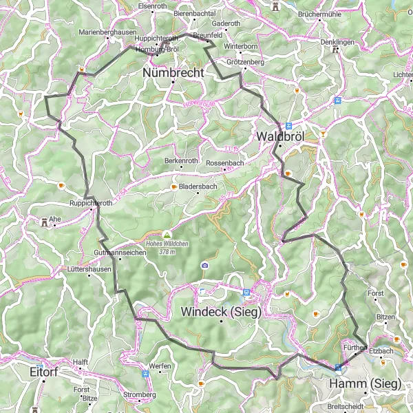
Embark on a 67-kilometer road cycling tour starting from Hamm and be enchanted by the hidden gems along the way. With an ascent of 1218 meters, this route provides riders with a taste of the expansive natural beauty and cultural diversity of the region. Encounter charming villages, historic sites, and breathtaking viewpoints that make this journey worth every pedal stroke.
road
67 km
1218 m
Tough
Route profile
Highlights on the route
0 km
0 km
Start: Opperzau Village centerHamm (Sieg): Enjoying peaceful rides through charming villages and countryside in Koblenz.
Hamm (Sieg) is a locality in Koblenz, Germany. From a cyclist's perspective, Hamm (Sieg) offers a mix of flat stretches and rolling hills suitable for both leisurely road cycling and gravel riding. The region is known for its charming countryside and picturesque villages, providing a pleasant and peaceful riding experience. Near Hamm (Sieg), cyclists can explore Altenkirchen, a historic town with traditional architecture. Overall, Hamm (Sieg) receives a rank of 3 for its scenic routes and charming surroundings.0 km
0 km
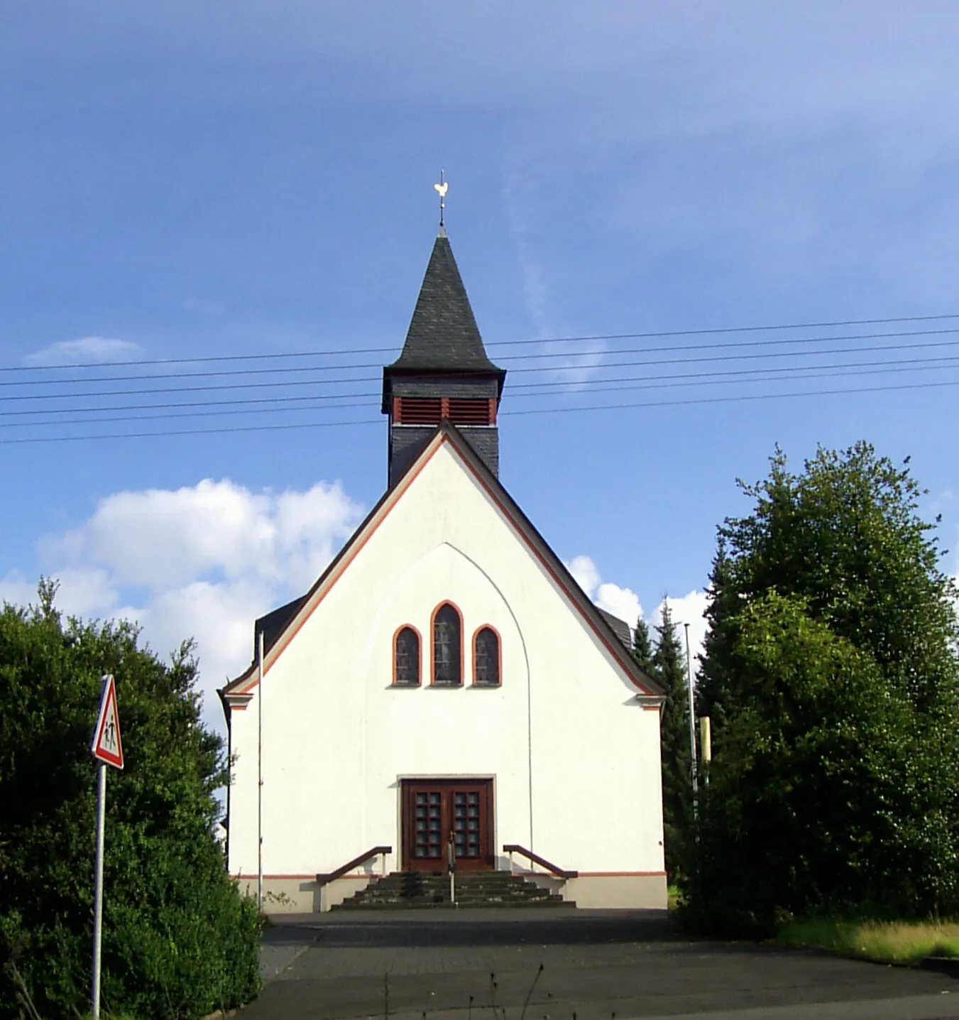
FürthenVillageFürthen, located at the beginning of the route, is a tranquil village surrounded by unspoiled nature, offering a peaceful start to the tour.
11 km
11 km
Leuscheider HöheViewpointLeuscheider Höhe, discovered 11 kilometers in, offers astonishing vistas of the surrounding landscapes and serves as a perfect spot for a short break.
23 km
23 km
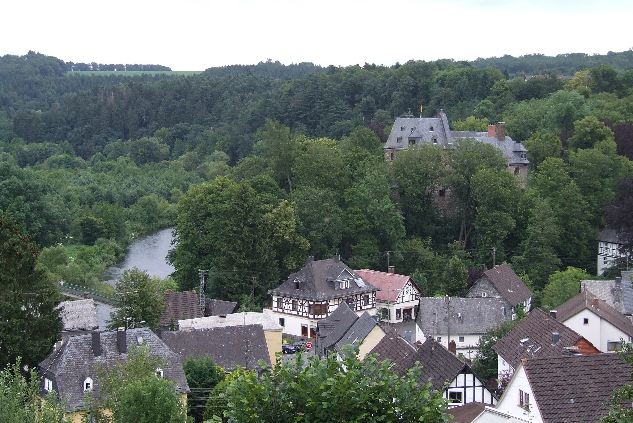
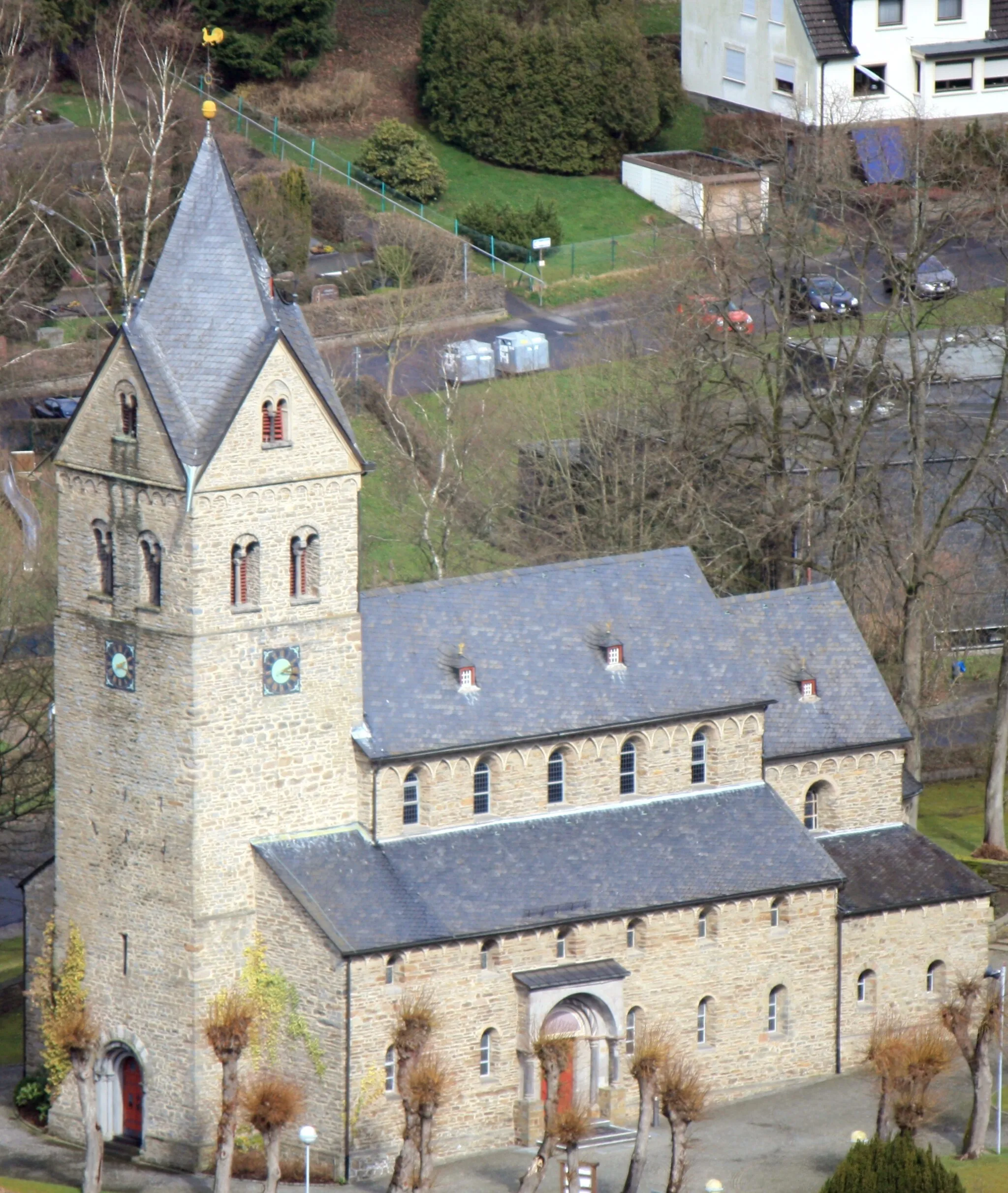
RuppichterothVillageRuppichteroth, encountered at the 23-kilometer mark, delights visitors with its charming architecture and picturesque setting along the river.
42 km
42 km
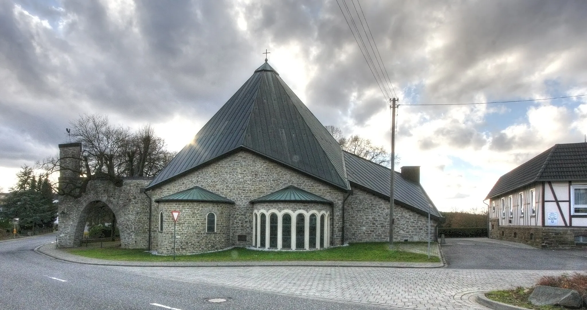
DistelkampVillageDistelkamp, appearing at the 42-kilometer point, fascinates riders with its historic features and evokes a sense of nostalgia for bygone times.
50 km
50 km
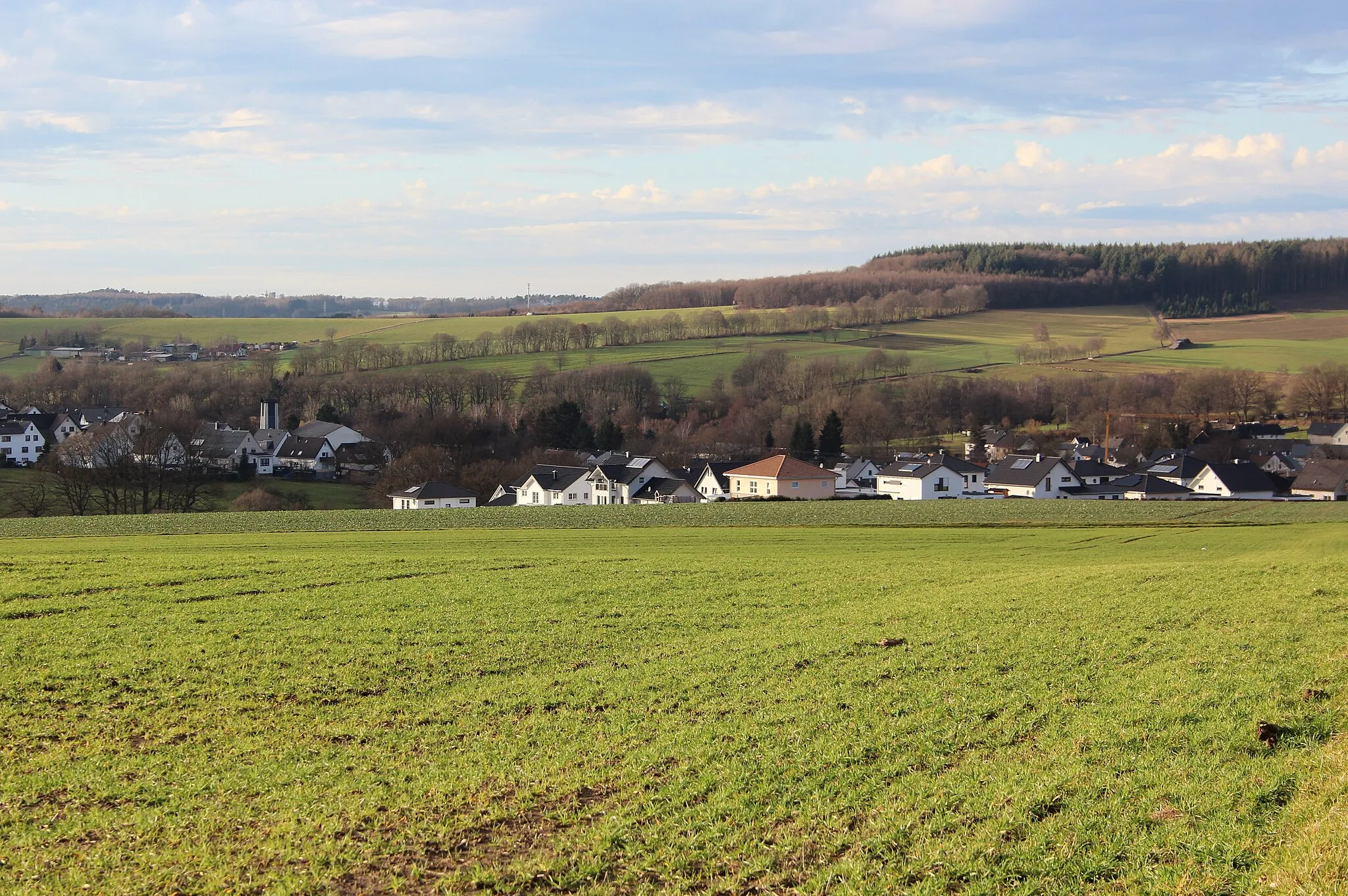
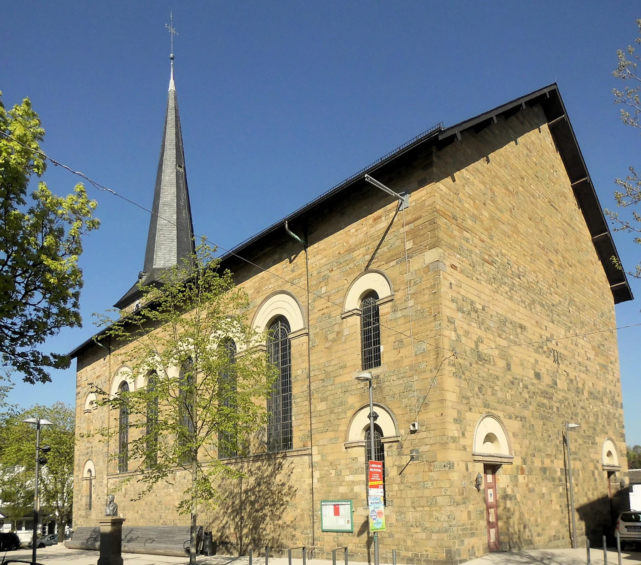
WaldbrölTownWaldbröl, situated at the 50-kilometer mark, offers a peaceful atmosphere and beautiful natural surroundings, complemented by its friendly local community.
51 km
51 km
Die MauerViewpointDie Mauer, discovered at the 51-kilometer point, invites exploration of its impressive sculpture trail and provides a unique perspective on local art and culture.
63 km
63 km
Baiershahnshöchsten355 mPeakBaiershahnshöchsten welcomes riders at the 63-kilometer mark with exceptional views across idyllic valleys and pristine forests.
67 km
67 km
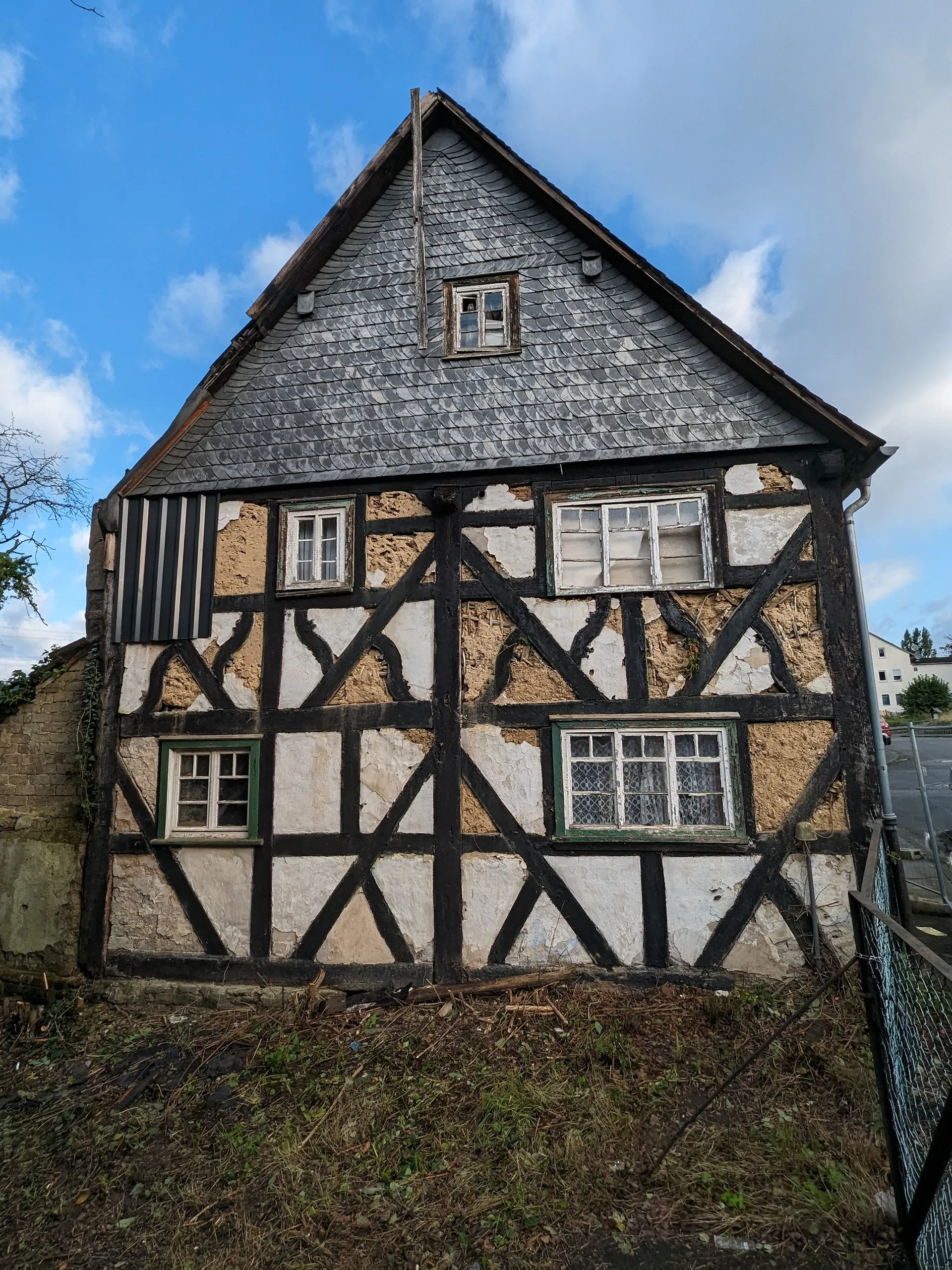
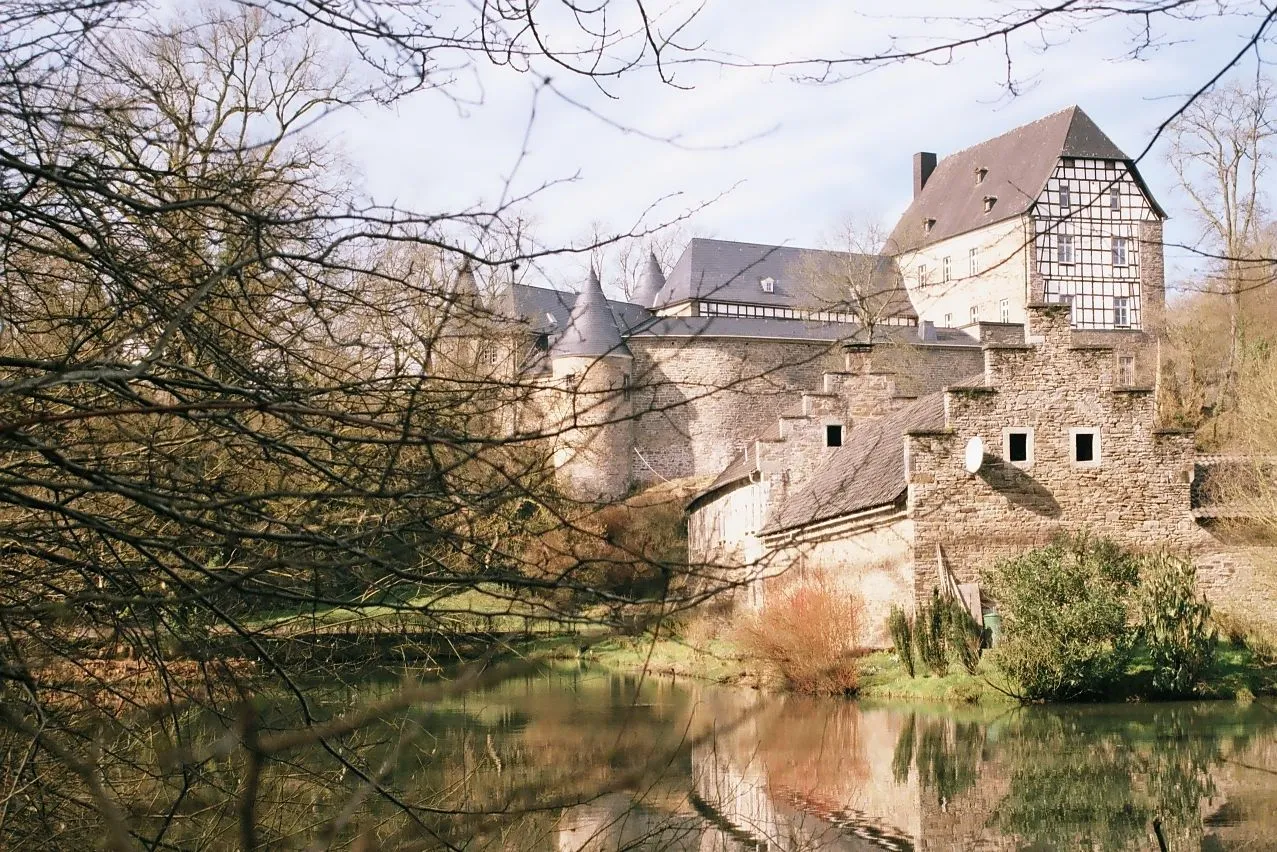
OpperzauVillageOpperzau, positioned at the 67-kilometer point, bewitches visitors with its charming half-timbered houses and serene landscapes, creating a picturesque ending to the tour.
67 km
67 km
Finish: Opperzau Village centerHamm (Sieg): Enjoying peaceful rides through charming villages and countryside in Koblenz.
Cycling routes from Hamm (Sieg):
The Gravel Loop: Exploring the Charm of Winkelbach and Racksen Untamed Gravel Expedition from Hamm Scenic Road Cycling Loop from Hamm Hamm Adventurous Gravel Bike Tour Gravel Adventure: Exploring Atzelgift and Idelberg The Ultimate Road Cycling Challenge from Hamm Road Cycling Retreat: Fürthen to Wissen Discover the Hidden Treasures: Hamm (Sieg) to Idelberg Discover the Gems of Hamm on this Road Cycling Route Journey through Sieg Valley: Ohligsberg to Hamm (Sieg) Hamm (Sieg) Gravel Adventure
Cycling routes nearby: