The Gravel Pioneer
A gravel cycling route starting from Hohn
Embark on a thrilling gravel adventure starting near Höhn
Map
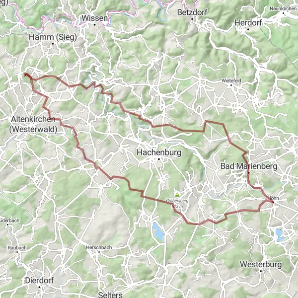
This 78-kilometer gravel route is not for the faint-hearted. With a total ascent of 1379 meters, this challenging route is perfect for experienced gravel riders seeking an adrenaline rush. Highlights along the way include Lochum, Großer Weißenstein, Herzberg, Ingelbach, and Isert.
gravel
78 km
1379 m
Savage
Route profile
Highlights on the route
0 km
0 km
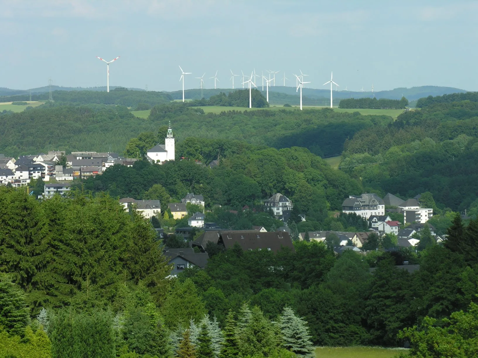
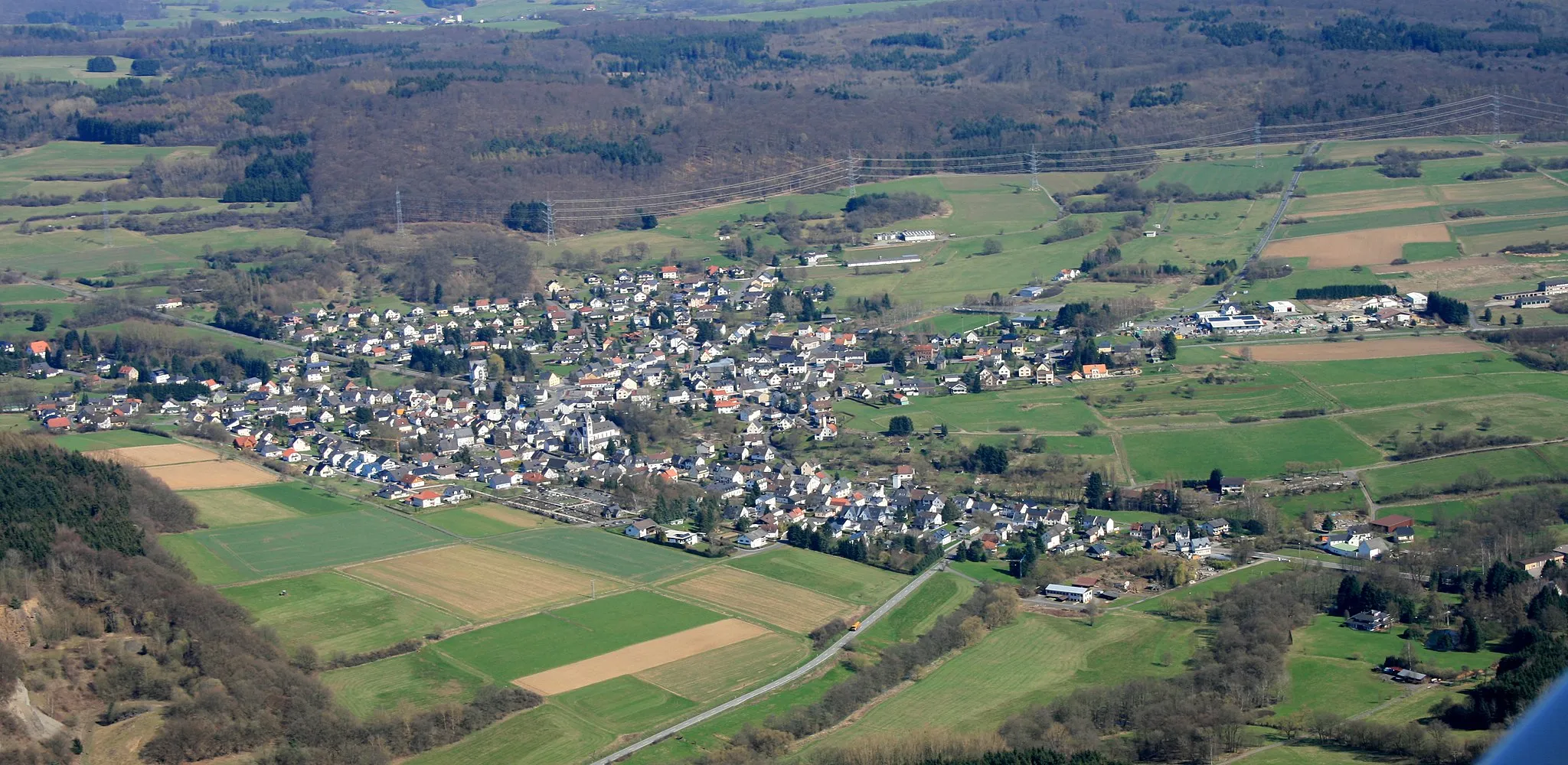
Start: Höhn Village centerHöhn: Scenic roads for leisurely rides
Höhn is a town situated in the region of Koblenz, Germany. This locality provides a cyclist-friendly environment with well-maintained roads suitable for road cycling. Additionally, the surrounding region offers stunning views and picturesque landscapes, making it a great destination for countryside cycling. There are no famous cycling spots or well-known climbs in immediate proximity, but the area is ideal for leisurely rides and exploration.12 km
12 km
LochumVillageLochum is a small village known for its picturesque landscapes and peaceful countryside surroundings.
13 km
13 km
Großer Weißenstein509 mPeakGroßer Weißenstein is a majestic rock formation that offers breathtaking views and a sense of awe.
28 km
28 km
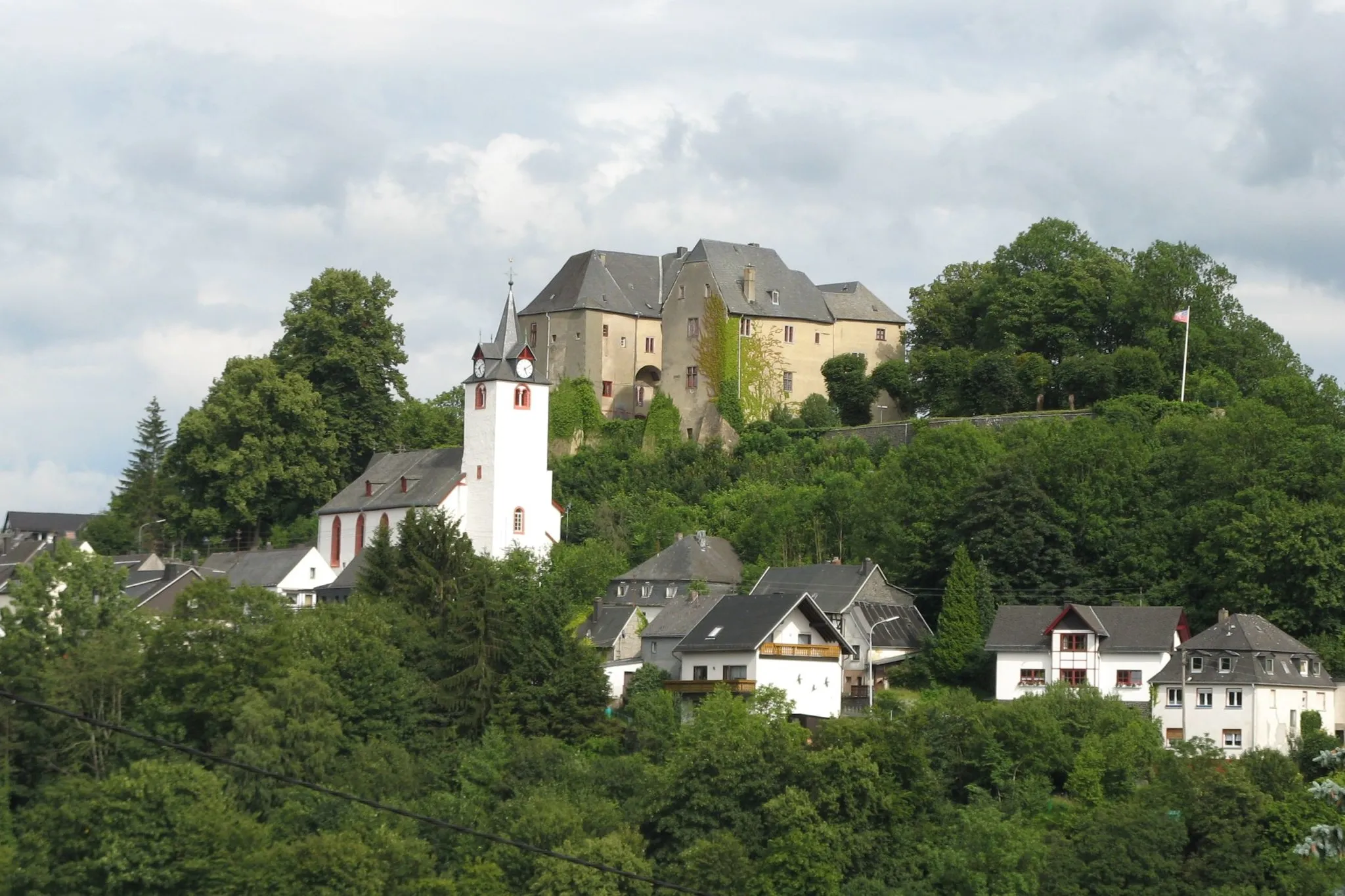
Herzberg324 mPeakHerzberg is a historic castle ruin that serves as a reminder of the region's rich history and heritage.
29 km
29 km
IngelbachVillageIngelbach is a beautiful village with charming half-timbered houses and a tranquil atmosphere.
45 km
45 km
IsertVillageIsert is a peaceful village surrounded by lush forests and rolling hills, offering a serene escape from the city.
57 km
57 km
Aßberg327 mPeakAßberg is a scenic hill with panoramic views of the surrounding countryside, a perfect spot for a photo opportunity.
59 km
59 km
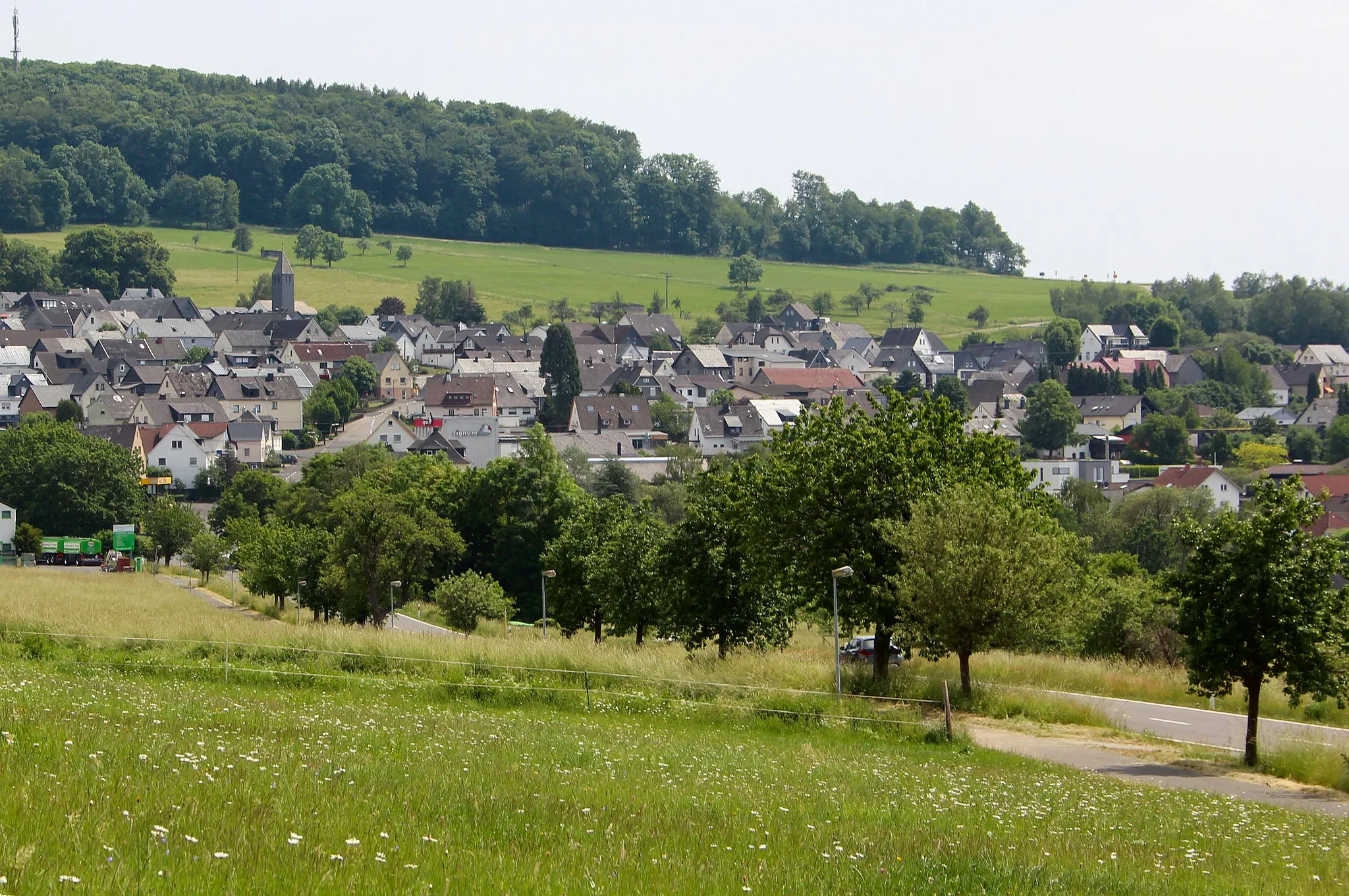
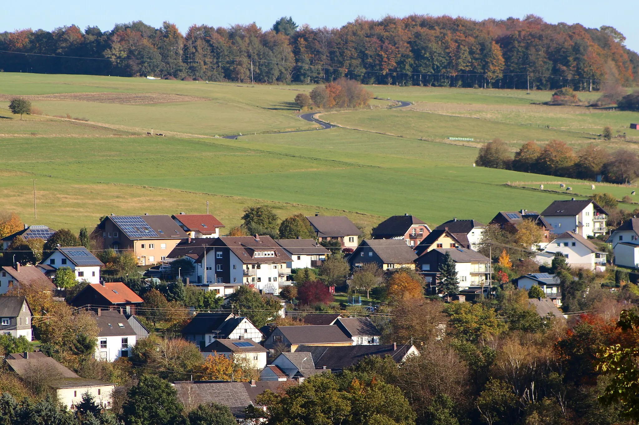
AtzelgiftVillageAtzelgift is a charming village with traditional timber-framed buildings and a friendly local community.
79 km
79 km
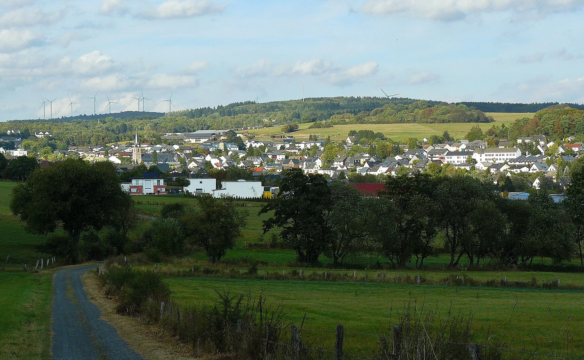
HöhnVillageHöhn offers a variety of outdoor activities and stunning natural landscapes, making it a must-visit destination for nature enthusiasts.
78 km
78 km
Finish: Höhn Village centerHöhn: Scenic roads for leisurely rides
Cycling routes from Hohn:
Höhn - Waigandshain - Salzstein - Höllberg - Driedorf - Odersberg - Knoten - Hohenscheid - Hellenhahn-Schellenberg - Höhn The Road Explorer The Road Adventurer The Gravel Pioneer Höhn - Fehl-Ritzhausen - Kühfelderstein - Ketzerstein - Guntersdorf - Driedorf - Berg - Hohenscheid - Höhn The Gravel Adventurer Höhn - Friedewald - Holzholzer Kopf - Würgendorf - Ketzerstein - Waigandshain - Hohenscheid - Hellenhahn-Schellenberg - Höhn Höhn - Hedwigsturm - Atzelgift - Gebhardshain - Plittershagen - Windhahn - Herdorf - Nisterberg - Großseifen - Höhn Höhn - Halbs - Zum Burgberg - Koppel - Heiligenroth - Massenberg - Ebernhahn - Lochum - Kackenbergerstein - Neuhochstein - Höhn The Ultimate Road Challenge
Cycling routes nearby: