Höhn - Fehl-Ritzhausen - Kühfelderstein - Ketzerstein - Guntersdorf - Driedorf - Berg - Hohenscheid - Höhn
A road cycling route starting from Hohn
Explore the charming villages and scenic landscapes of Höhn
Map
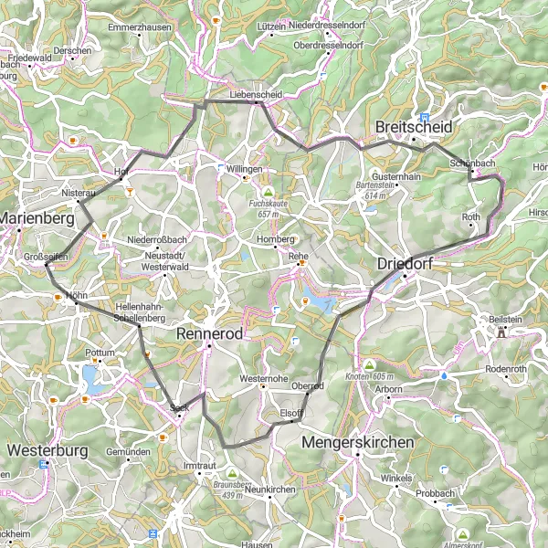
This round-trip cycling route takes you on a journey through the beautiful villages and landscapes surrounding Höhn in Koblenz, Germany. With a total distance of 60 km and an ascent of 946 meters, it's suitable for well-trained amateurs. Along the way, you'll encounter several highlights such as the historic Fehl-Ritzhausen village, the impressive Kühfelderstein rock formation, and the picturesque Ketzerstein. Enjoy panoramic views from the Guntersdorf lookout and take a break in the charming village of Driedorf. The route also passes through the scenic Berg and Hohenscheid before returning to Höhn.
road
60 km
946 m
Tough
Route profile
Highlights on the route
0 km
0 km
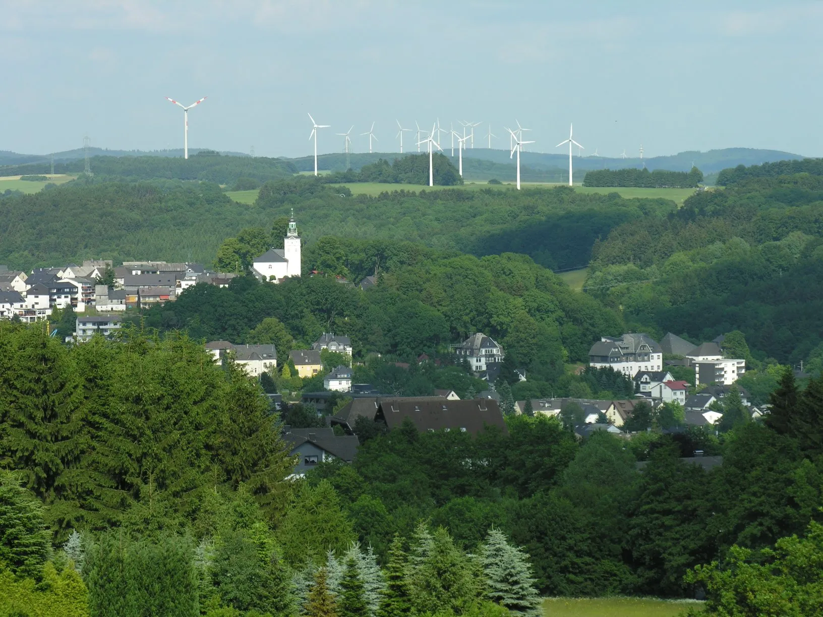
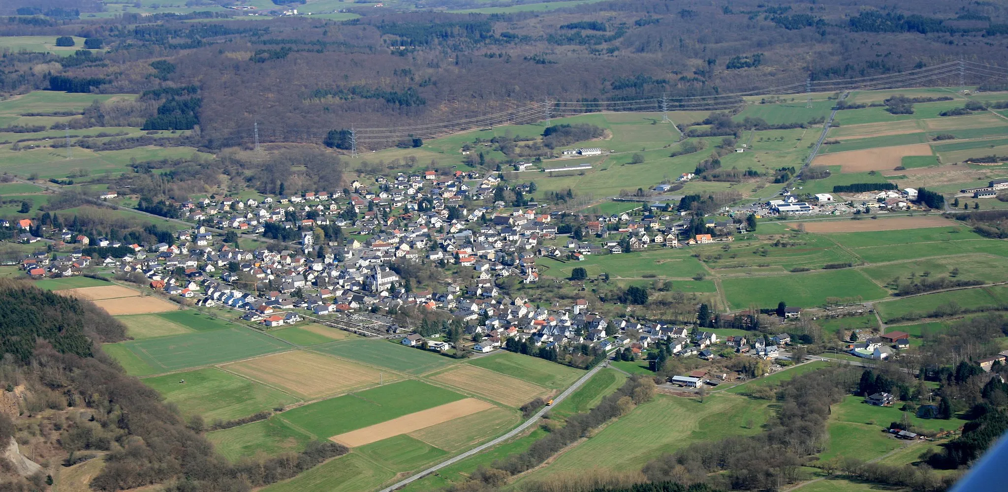
Start: Großseifen Village centerHöhn: Scenic roads for leisurely rides
Höhn is a town situated in the region of Koblenz, Germany. This locality provides a cyclist-friendly environment with well-maintained roads suitable for road cycling. Additionally, the surrounding region offers stunning views and picturesque landscapes, making it a great destination for countryside cycling. There are no famous cycling spots or well-known climbs in immediate proximity, but the area is ideal for leisurely rides and exploration.2 km
2 km
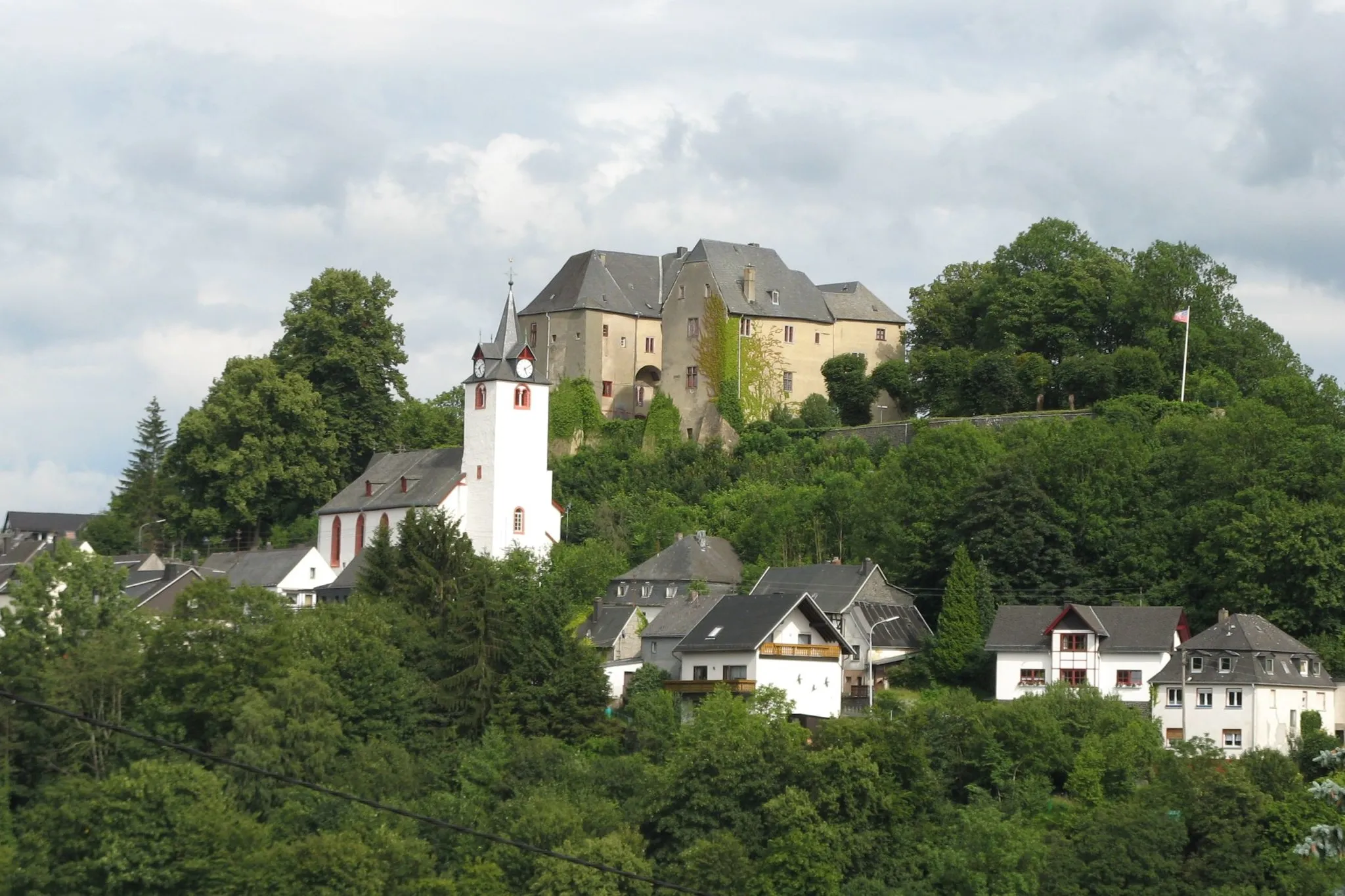
Fehl-RitzhausenVillageFehl-Ritzhausen is a historic village with timber-framed houses dating back to the 16th century. Take a stroll through its charming streets and learn about its rich history.
10 km
10 km
Kühfelderstein637 mPeakKühfelderstein is a massive rock formation that offers stunning views of the surrounding landscapes. It's a great spot for photographers and nature enthusiasts.
16 km
16 km
Ketzerstein610 mPeakKetzerstein is a rocky outcrop that serves as a natural landmark. Enjoy the scenic surroundings and take in the beauty of the area.
28 km
28 km
GuntersdorfVillageGuntersdorf lookout provides panoramic views of the countryside. It's a perfect spot to rest and soak in the beauty of the surroundings.
34 km
34 km
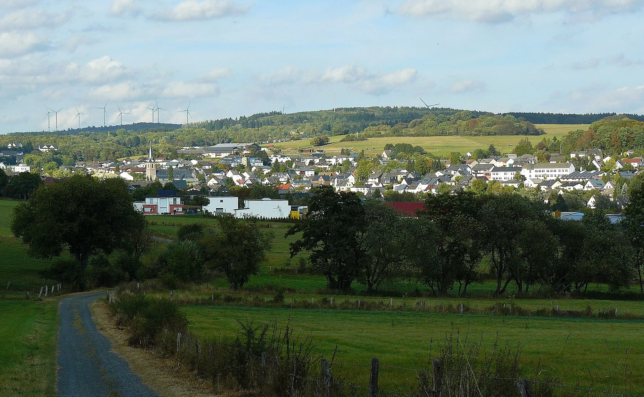
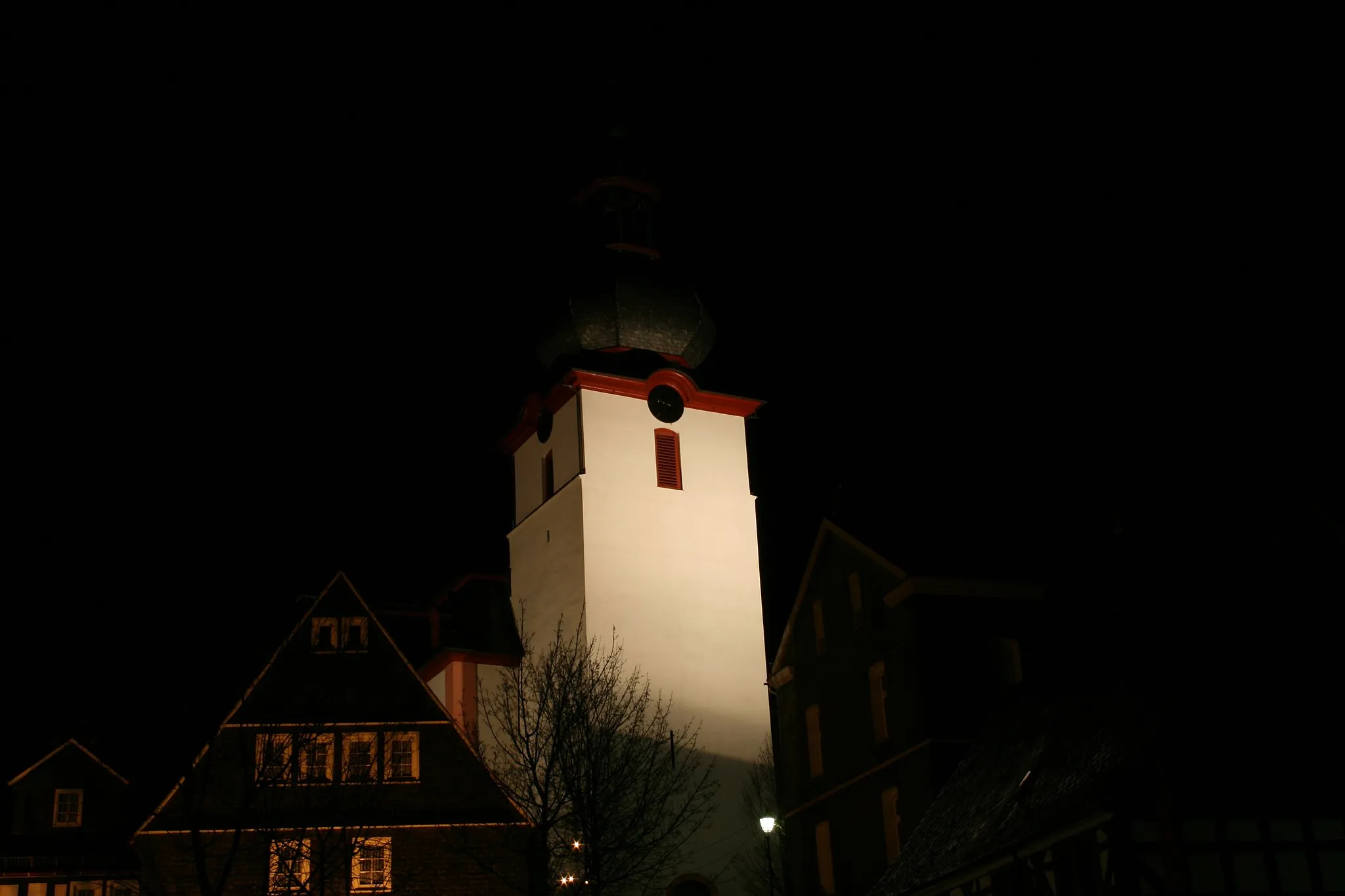
DriedorfTownDriedorf is a quaint village known for its picturesque charm. Stop by and explore its historic buildings and peaceful atmosphere.
47 km
47 km
Berg455 mPeakBerg is a small village nestled in the rolling hills. Take a moment to enjoy the serene ambiance and admire the traditional architecture.
54 km
54 km
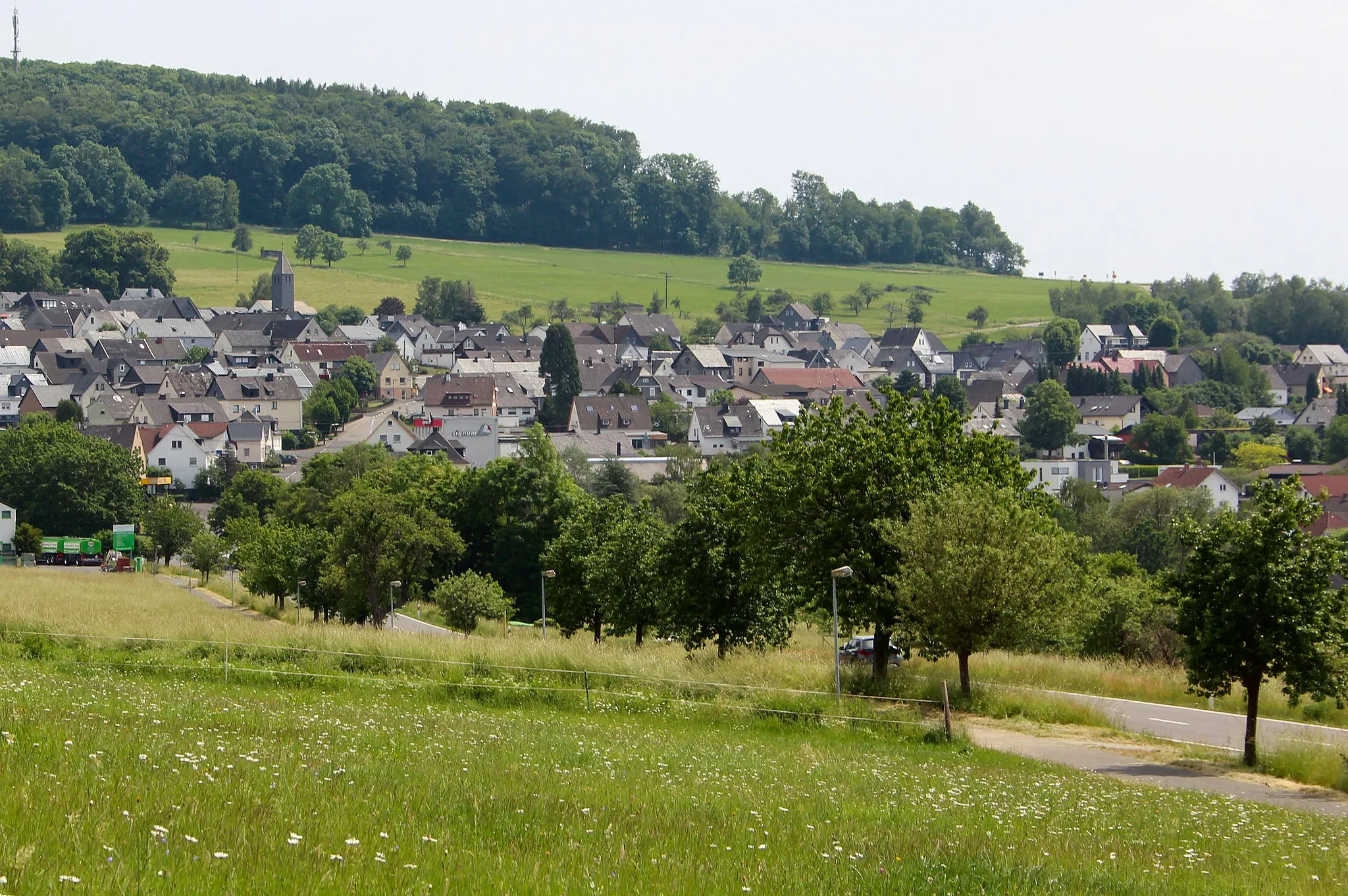
Hohenscheid475 mPeakHohenscheid is a scenic village surrounded by natural beauty. Enjoy the tranquility and take a moment to connect with nature.
57 km
57 km
HöhnVillageHöhn is the starting and ending point of the route. Explore the town and discover its charming streets and landmarks.
60 km
60 km
Finish: Großseifen Village centerHöhn: Scenic roads for leisurely rides
Cycling routes from Hohn:
Höhn - Waigandshain - Salzstein - Höllberg - Driedorf - Odersberg - Knoten - Hohenscheid - Hellenhahn-Schellenberg - Höhn The Road Explorer The Road Adventurer The Gravel Pioneer Höhn - Fehl-Ritzhausen - Kühfelderstein - Ketzerstein - Guntersdorf - Driedorf - Berg - Hohenscheid - Höhn The Gravel Adventurer Höhn - Friedewald - Holzholzer Kopf - Würgendorf - Ketzerstein - Waigandshain - Hohenscheid - Hellenhahn-Schellenberg - Höhn Höhn - Hedwigsturm - Atzelgift - Gebhardshain - Plittershagen - Windhahn - Herdorf - Nisterberg - Großseifen - Höhn Höhn - Halbs - Zum Burgberg - Koppel - Heiligenroth - Massenberg - Ebernhahn - Lochum - Kackenbergerstein - Neuhochstein - Höhn The Ultimate Road Challenge
Cycling routes nearby: