Idar-Oberstein - Explore the hilly landscapes on your road or gravel bike.
Cycling routes from Idar-Oberstein
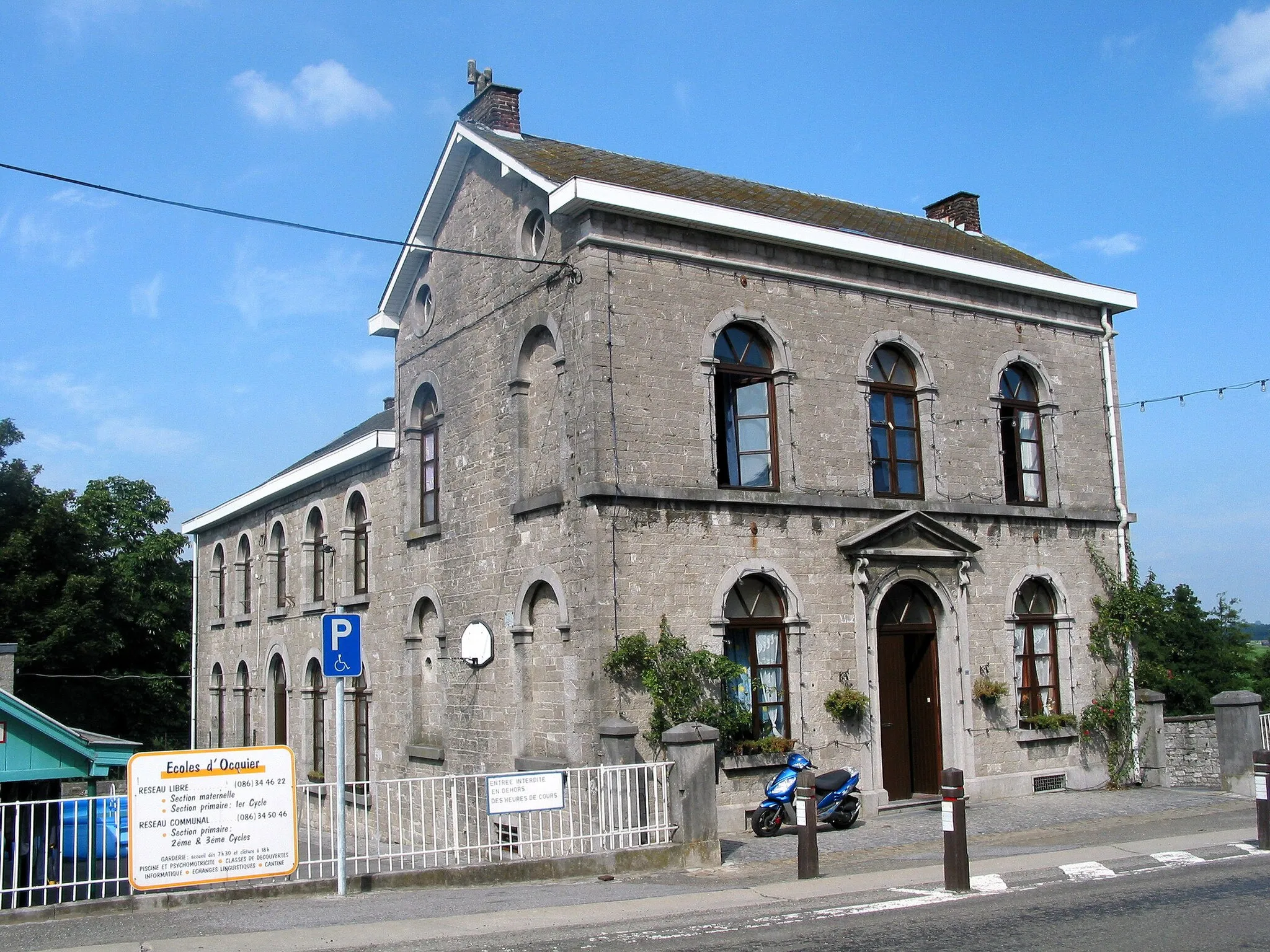
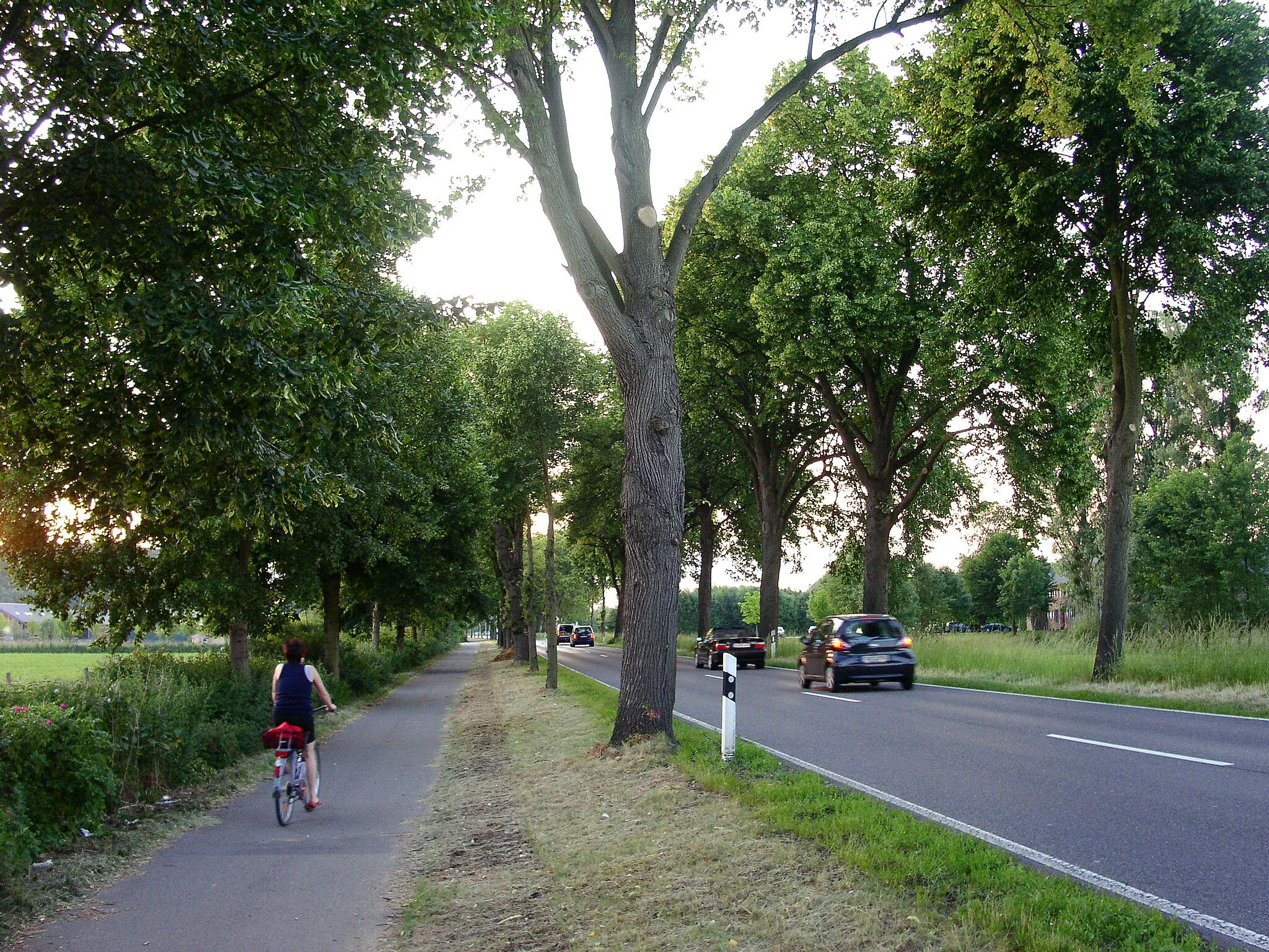
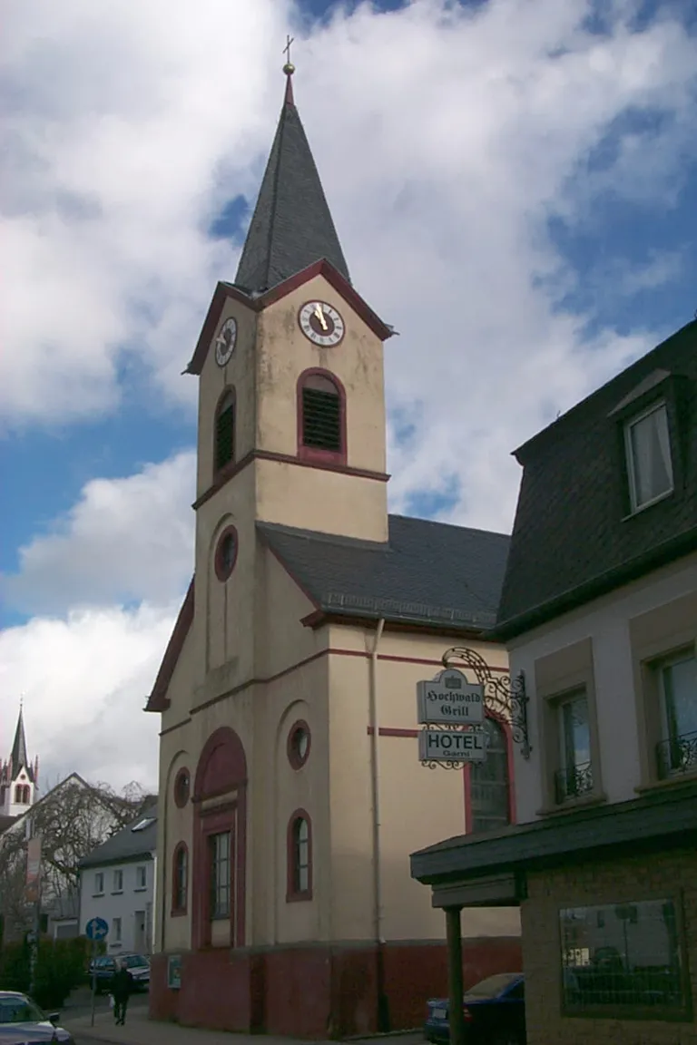
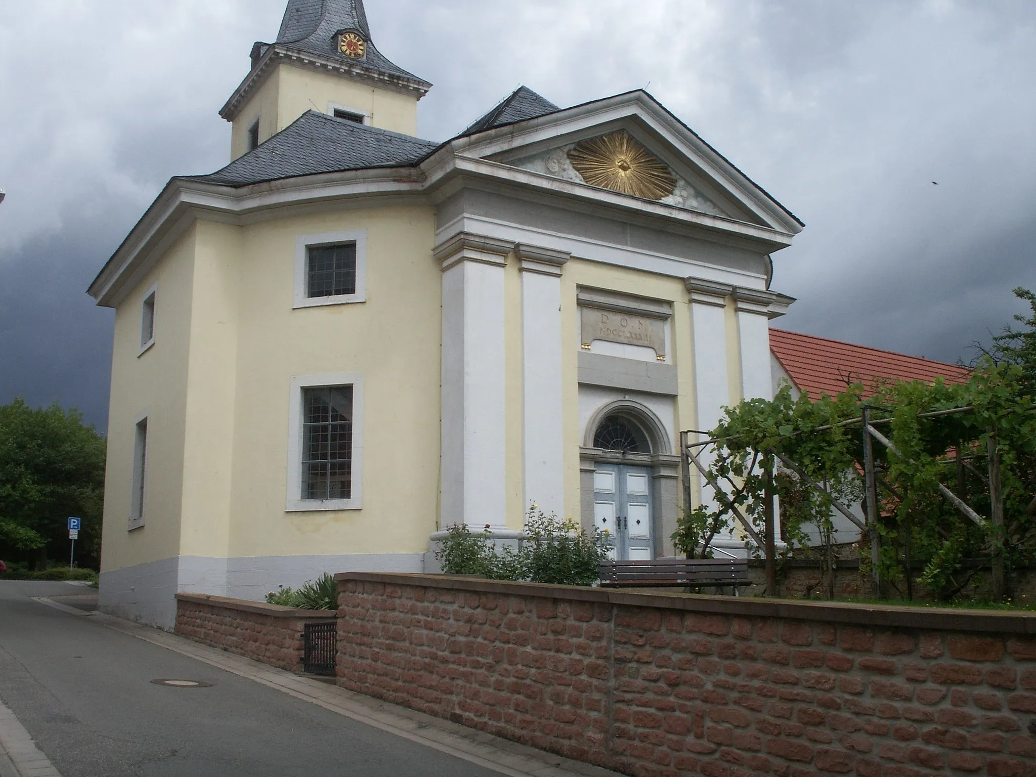
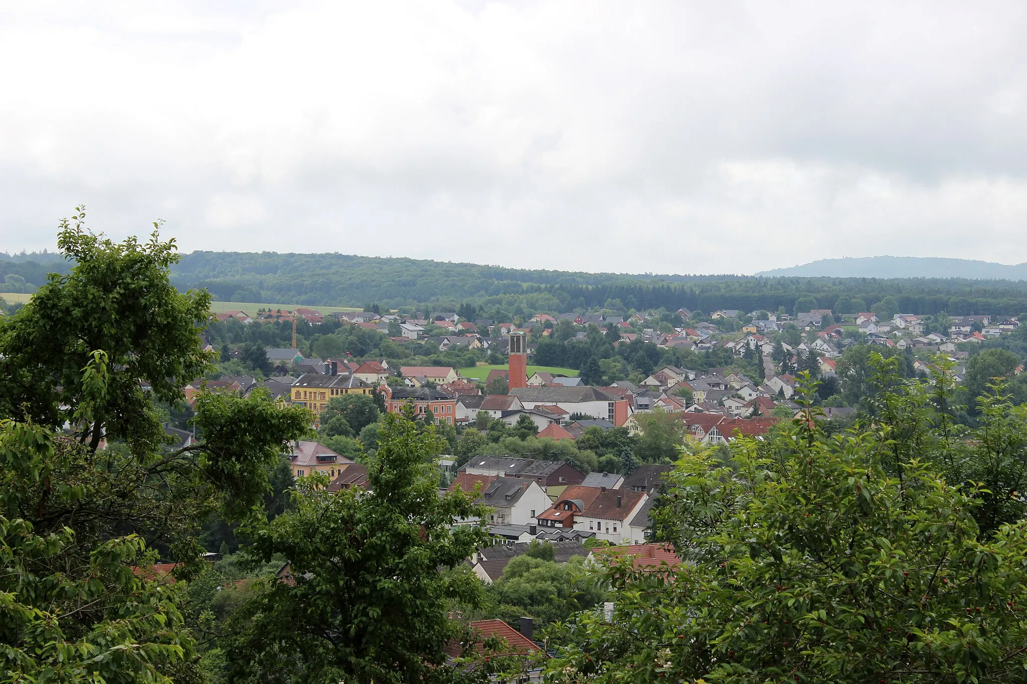
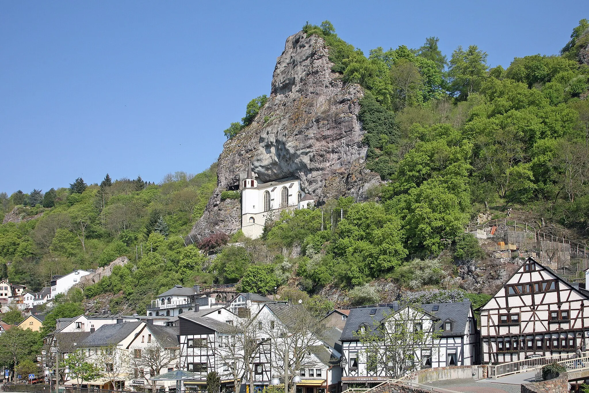
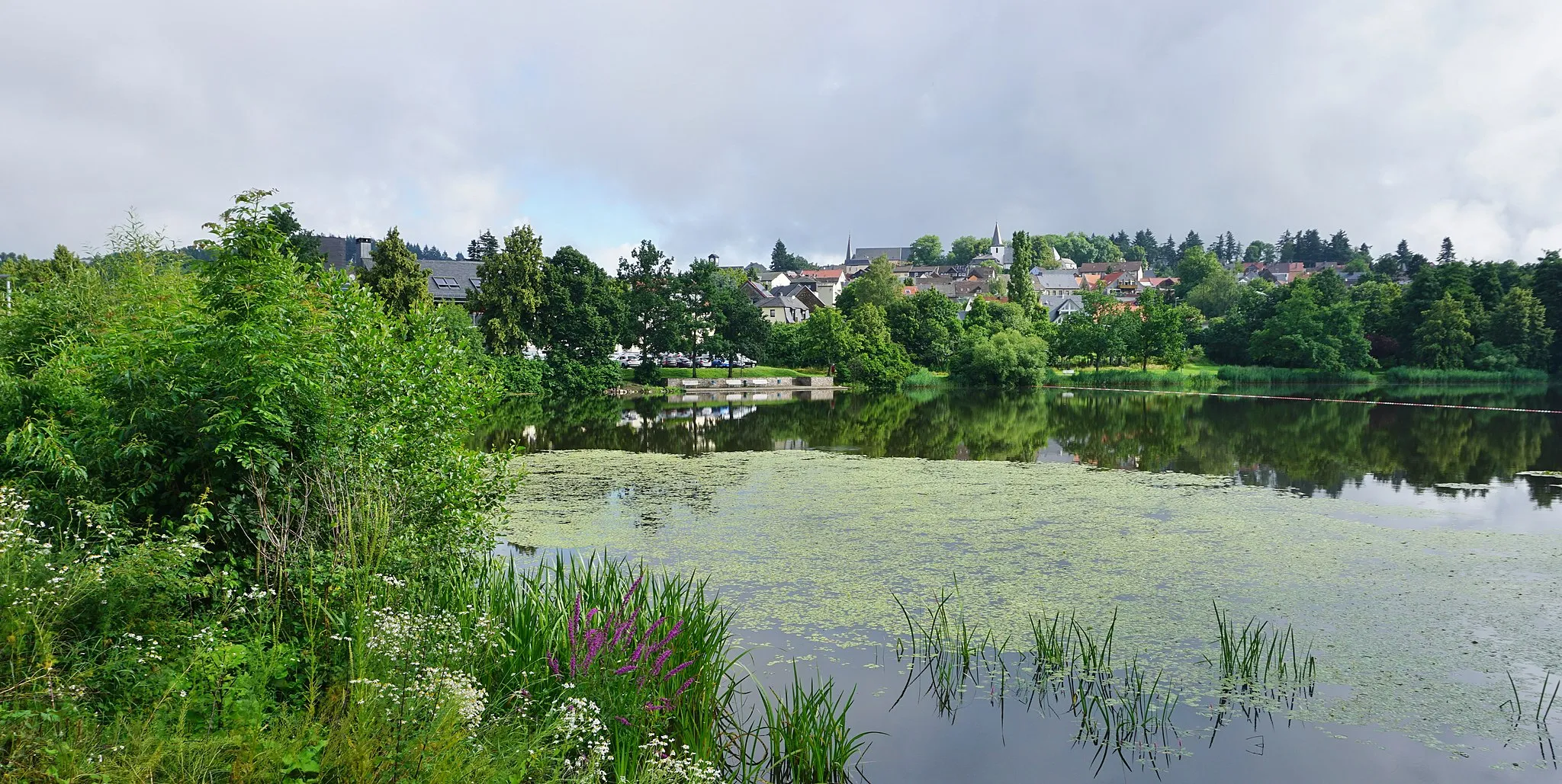
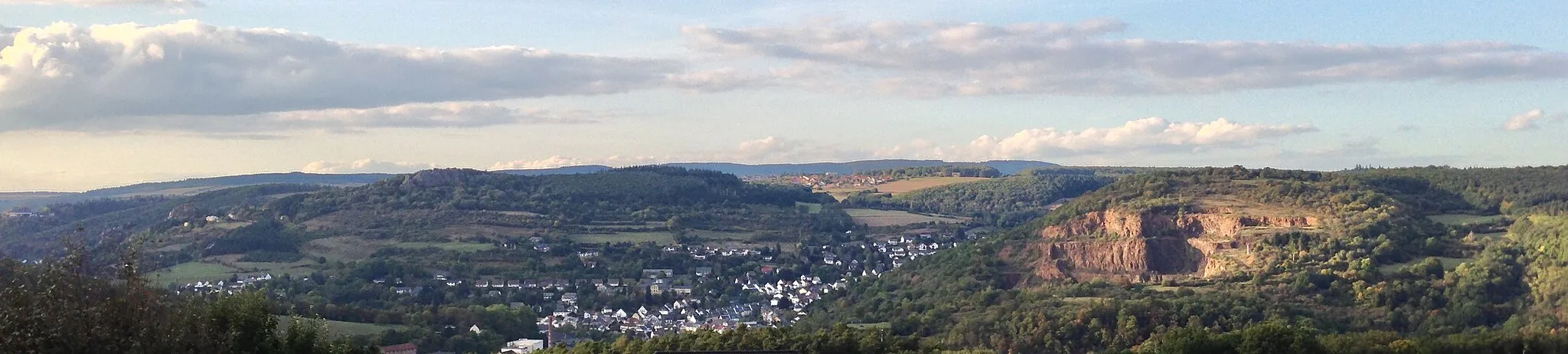
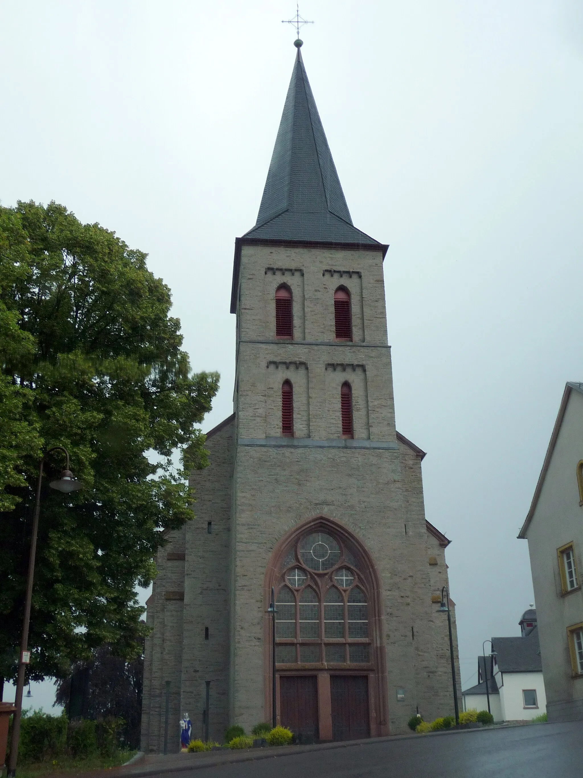
Idar-Oberstein is a locality in Koblenz, Germany that offers a fair experience for road and gravel cyclists. The area has some cycling routes through the surrounding hills, providing cyclists with a moderate challenge. However, there are no famous cycling-related spots or well-known climbs nearby. With its hilly landscapes and decent cycling routes, Idar-Oberstein is a suitable location for cyclists looking for a moderate ride.
Gravel Offroad Escape
An adventurous gravel route through hidden gems
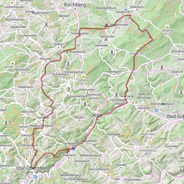
Embark on an exciting off-road cycling adventure with the Gravel Offroad Escape. This 87-kilometer gravel route near Idar-Oberstein promises scenic landscapes and hidden gems. With an ascent of 1694 meters, it's suitable for experienced gravel cyclists. Highlights along the way include Bismarckturm Idar-Oberstein, Bollenbach, Mengerschied, Alteburg, Hellberg, Kirn, Ballenberg, and ending the loop back in Idar-Oberstein.
The Gravel Adventure
Cycle through the picturesque landscapes and discover historical highlights along the way
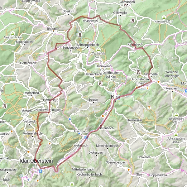
This gravel route near Idar-Oberstein takes you on an exciting adventure through beautiful landscapes. With a distance of 71 kilometers and an ascent of 1189 meters, it offers a moderate challenge suitable for experienced amateurs. The route passes by the famous Bismarckturm of Idar-Oberstein, offering panoramic views of the surrounding countryside. As you cycle through Hausen, Hellberg, Kirn, and Götzplatz, you'll encounter quaint villages and charming attractions.
Embark on the ultimate gravel challenge through picturesque landscapes and hilltop viewpoints
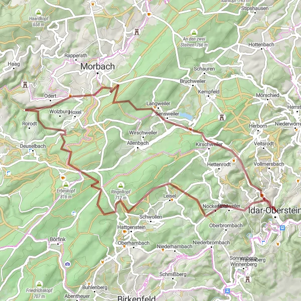
Get ready for an epic gravel adventure near Idar-Oberstein. This 62-kilometer route with an ascent of 1309 meters will test your endurance and skill. Along the way, you'll pass by the famous Bismarckturm of Idar-Oberstein, providing breathtaking panoramic views. Cycle through Nockenthal, Sandkopf, Odert, and Kirschweiler and immerse yourself in the unspoiled beauty of the region. Don't miss the Aussichtsplattform, offering an unparalleled view of the surrounding landscapes. The route concludes in Idar-Oberstein, where you can explore the cultural heritage of this historic town.
Hills and Historic Villages
A road cycling adventure through medieval landmarks
The Hills and Historic Villages route is a 93-kilometer road cycling adventure with an ascent of 1711 meters. Cyclists will pedal through a landscape dotted with charming medieval villages, including Idar-Oberstein, Bergfried, Berschweiler bei Baumholder, Weiselberg, Sankt Wendel, Elsenberg, Mannenberg, Brücken, Aussichtsturm Hattgenstein, Hattgenstein, Nockenthal, and finally return to Idar-Oberstein. This route offers a mix of challenging climbs and cultural highlights
A thrilling gravel ride through scenic countryside
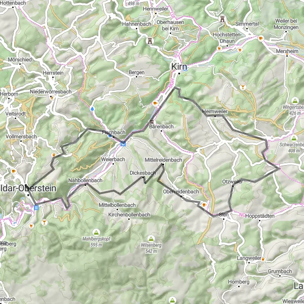
The Gravel Adventure is a shorter but no less thrilling cycling route near Idar-Oberstein. Spanning 53 kilometers with an ascent of 1080 meters, this gravel route offers a mix of challenging off-road sections and scenic countryside views. Cyclists will pass through Ballenberg, Nahbollenbach, Oberreidenbach, Dickesbach, and conclude the loop again at Idar-Oberstein.

Embark on a journey through untamed wilderness and explore historic sites along the way
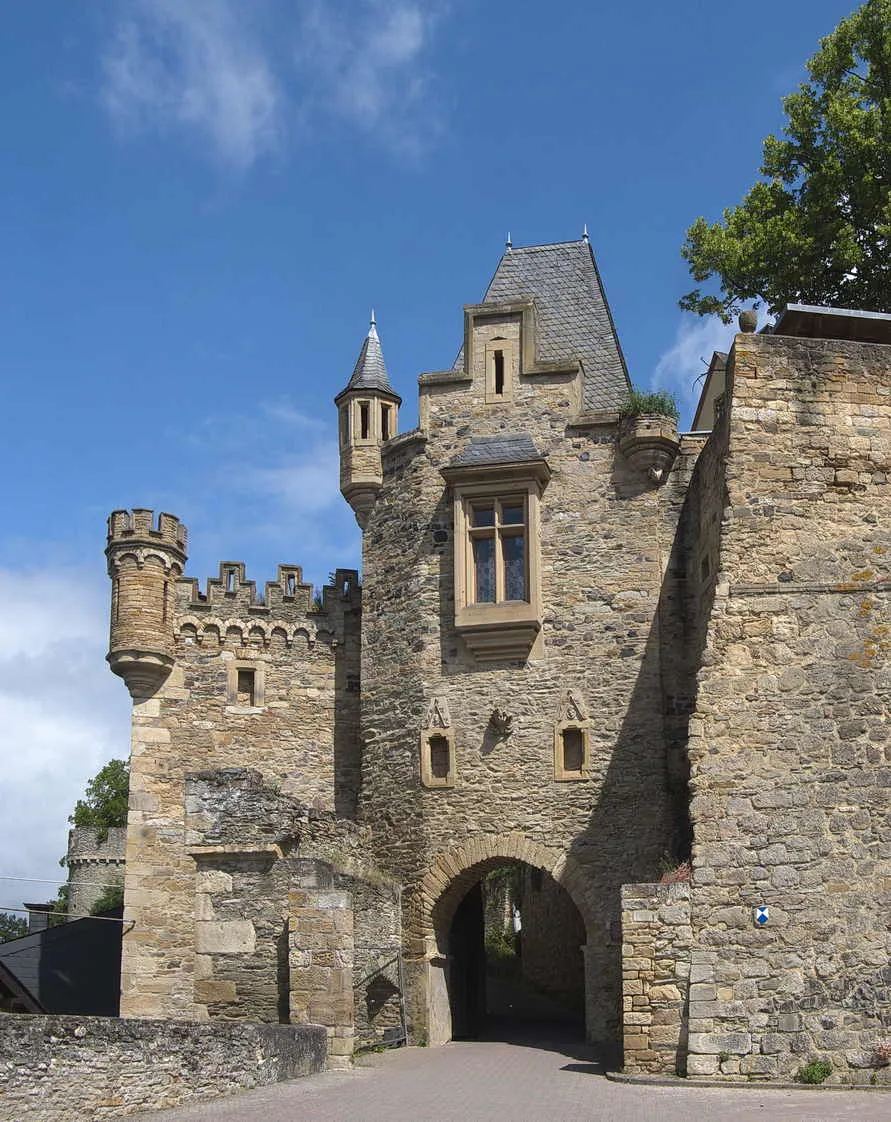
Get ready for an adventure-filled gravel route near Idar-Oberstein. This 56-kilometer route promises a thrilling ride, with an ascent of 1153 meters. You'll visit the Wildenburg, a medieval castle ruin surrounded by dense forests. The route also takes you to the Wildenburger Kopf, offering breathtaking views of the countryside. As you cycle through Wartenberg, Bollenbach, and Hosenberg, you'll pass by charming villages with traditional houses and warm-hearted locals. Don't miss the Ballenberg, a must-visit spot known for its natural beauty and tranquil atmosphere.
The Road Warrior
Conquer challenging ascents and experience the thrill of road cycling near Idar-Oberstein
For those seeking a thrilling road cycling experience, this 88-kilometer route is not for the faint-hearted. With an ascent of 1743 meters, it provides a challenging endeavor for experienced cyclists. Explore Frauenberg and Bergfried along the way, soaking in the historical significance of these sites. Don't miss the captivating views from the summit of Beilfels and Sandkopf. Steingeruettelkopf offers panoramic views that will leave you in awe. The route reaches its pinnacle with a visit to the iconic Bismarckturm of Idar-Oberstein, offering majestic views of the region. Conclude your journey in Idar-Oberstein and let yourself be enchanted by its beauty.
The Idar-Oberstein Loop
A challenging road route with historic highlights
The Idar-Oberstein Loop is a demanding road cycling route starting near the town of Idar-Oberstein in Koblenz, Germany. With a total distance of 123 kilometers and an ascent of over 2000 meters, this route is best suited for seasoned cyclists looking for a challenge. Along the way, riders will pass through various highlights including the Bismarckturm Idar-Oberstein, the Dickesbach village, Remigiusberg, Buberg, Rosenberg, Bergfried, Frauenberg, and finally back to Idar-Oberstein.
An epic road cycling adventure with stunning views
Embark on a challenging road cycling adventure with the Mountains and Castles route. This 128-kilometer route near Idar-Oberstein is not for the faint of heart, with an ascent of 2051 meters. Cyclists will ride through breathtaking landscapes and pass by highlights such as Gauskopf, Meisenheim, Juche, Platte, Dörrmoschel, Burgberg, Eßweiler, Niederalben, Windfang, Bergfried, Frauenberg, Bismarckturm Idar-Oberstein, and lastly, back to Idar-Oberstein.
Scenic Road Expedition
Embark on a scenic road expedition and experience the beauty of Idar-Oberstein region
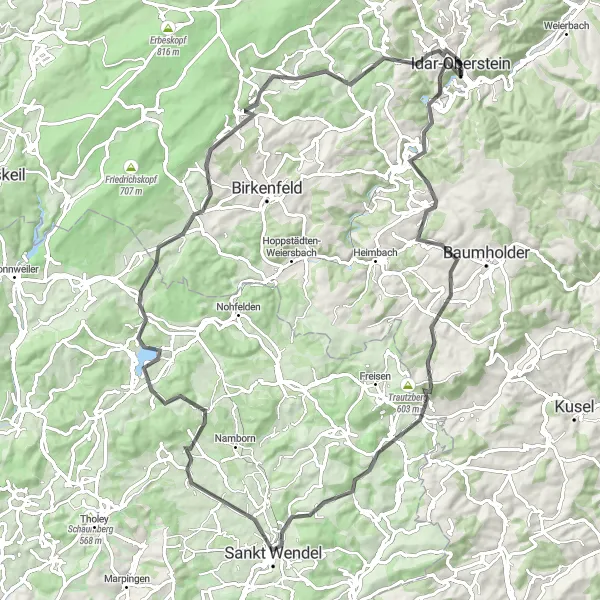
If you're looking for a picturesque road cycling adventure, this 57-kilometer route near Idar-Oberstein is perfect for you. With an ascent of 937 meters, it offers a moderate challenge suitable for well-trained amateurs. The route takes you through Gauskopf, offering captivating views of the surrounding landscapes. As you cycle through Hundsbach, Oberreidenbach, and Dickesbach, you'll pass through charming villages and stunning countryside. Don't miss the iconic Bismarckturm of Idar-Oberstein, which offers panoramic views of the region and showcases the cultural heritage of the area.
Cycling routes nearby:


Nearby regions: