The Gravel Adventure
A gravel cycling route starting from Idar-Oberstein
A thrilling gravel ride through scenic countryside
Map
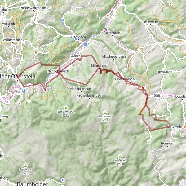
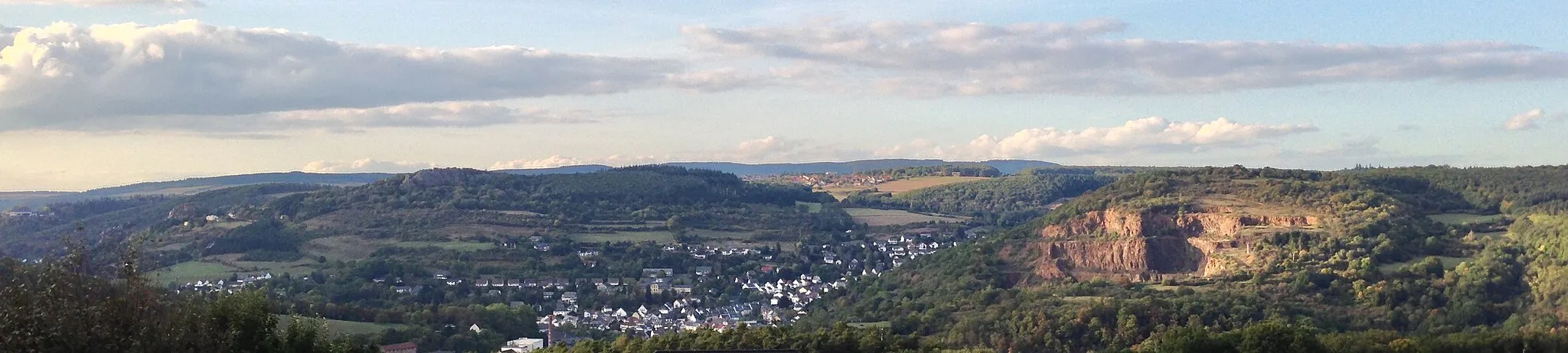
The Gravel Adventure is a shorter but no less thrilling cycling route near Idar-Oberstein. Spanning 53 kilometers with an ascent of 1080 meters, this gravel route offers a mix of challenging off-road sections and scenic countryside views. Cyclists will pass through Ballenberg, Nahbollenbach, Oberreidenbach, Dickesbach, and conclude the loop again at Idar-Oberstein.
gravel
53 km
1080 m
Tough
Route profile
Highlights on the route
0 km
0 km
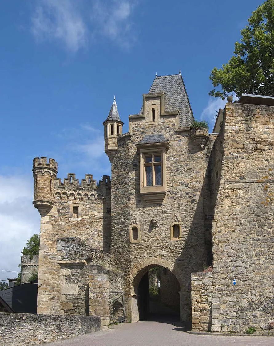
Start: Idar-Oberstein City centerIdar-Oberstein: Idar-Oberstein - Explore the hilly landscapes on your road or gravel bike.
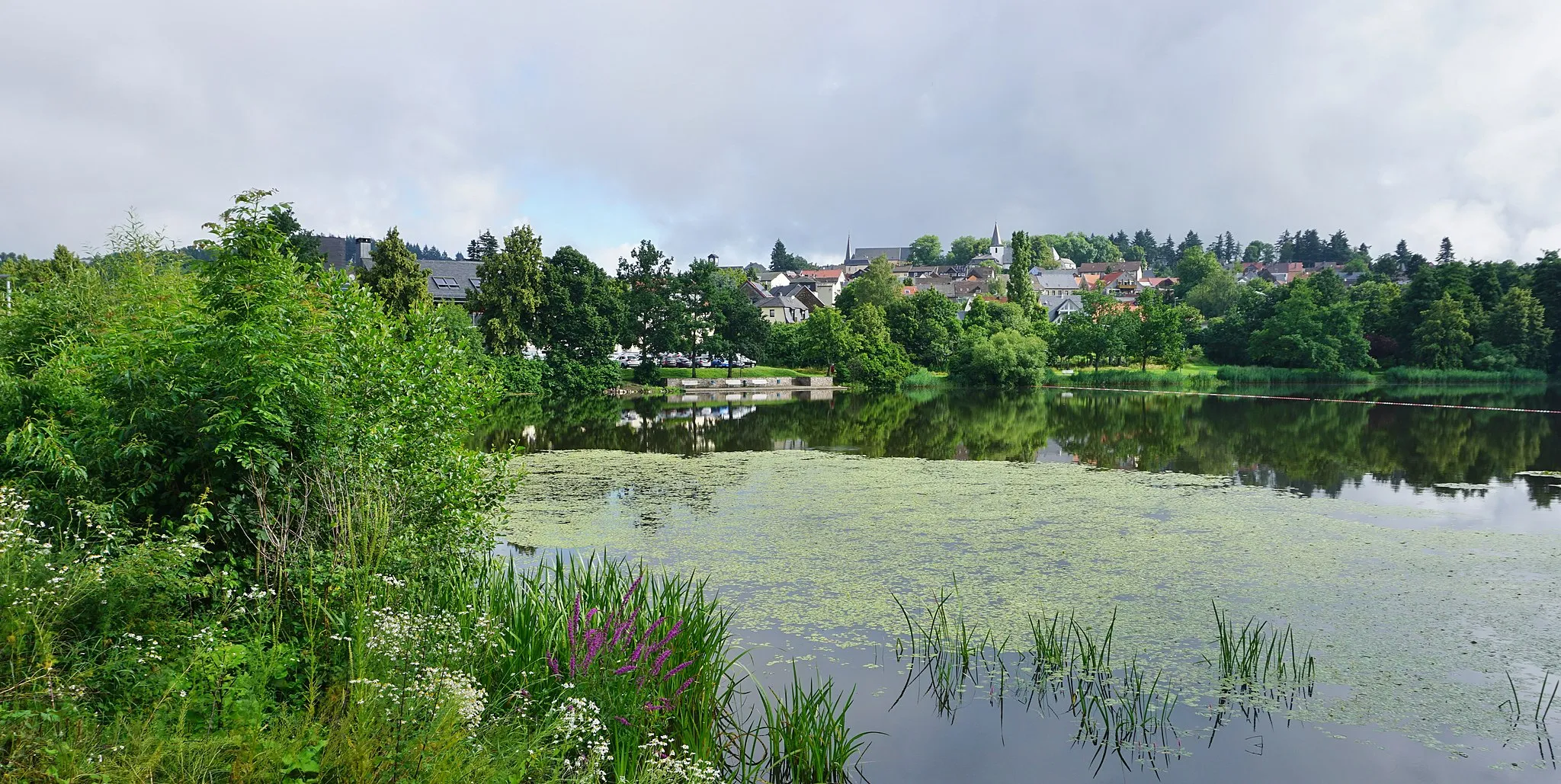
Idar-Oberstein is a locality in Koblenz, Germany that offers a fair experience for road and gravel cyclists. The area has some cycling routes through the surrounding hills, providing cyclists with a moderate challenge. However, there are no famous cycling-related spots or well-known climbs nearby. With its hilly landscapes and decent cycling routes, Idar-Oberstein is a suitable location for cyclists looking for a moderate ride.4 km
4 km
Ballenberg506 mPeakStop by Ballenberg and explore the traditional village filled with charming farmhouses.
6 km
6 km
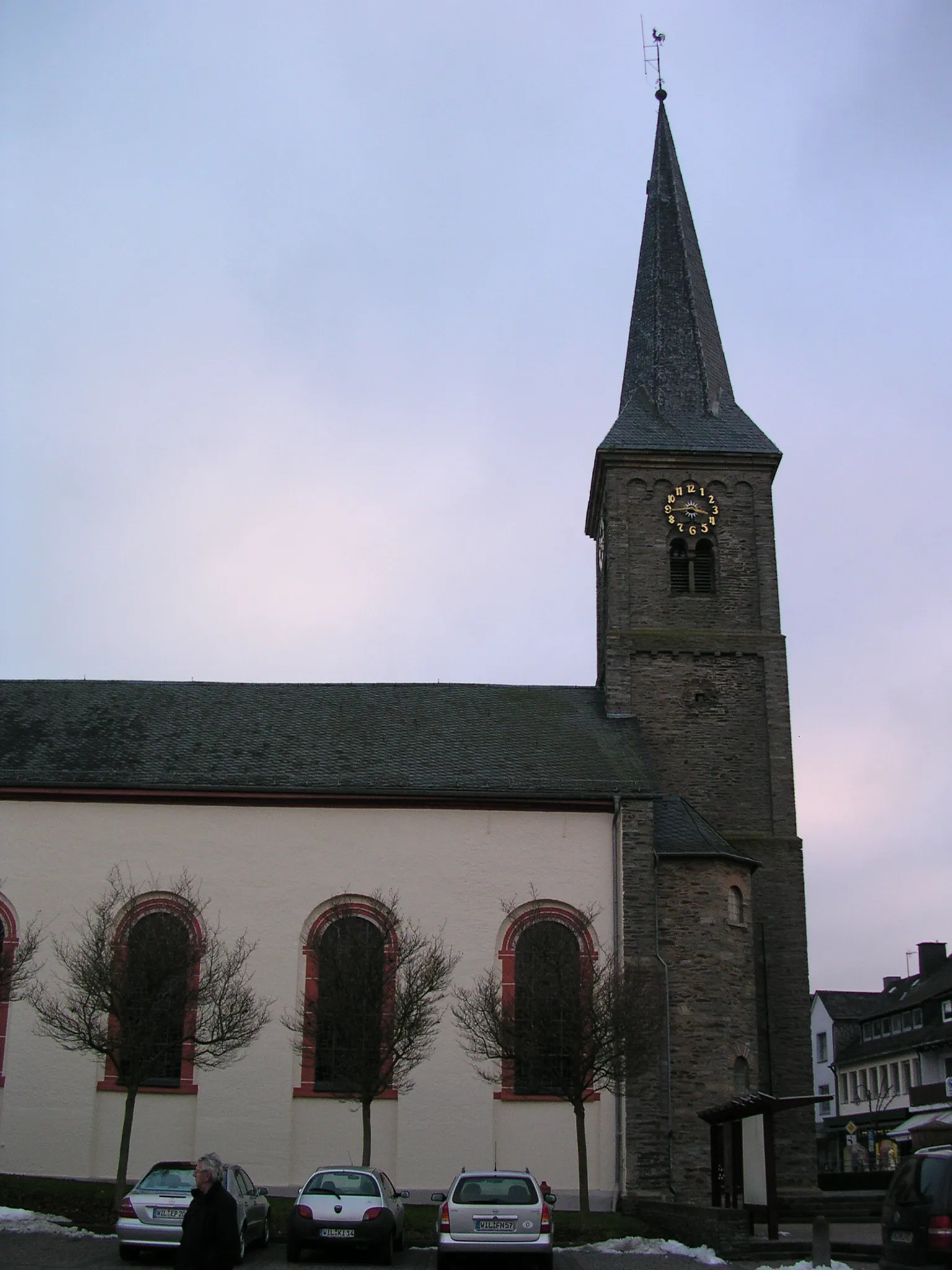
NahbollenbachVillageRide through Nahbollenbach, a picturesque village with quaint streets and timber-framed houses.
16 km
16 km
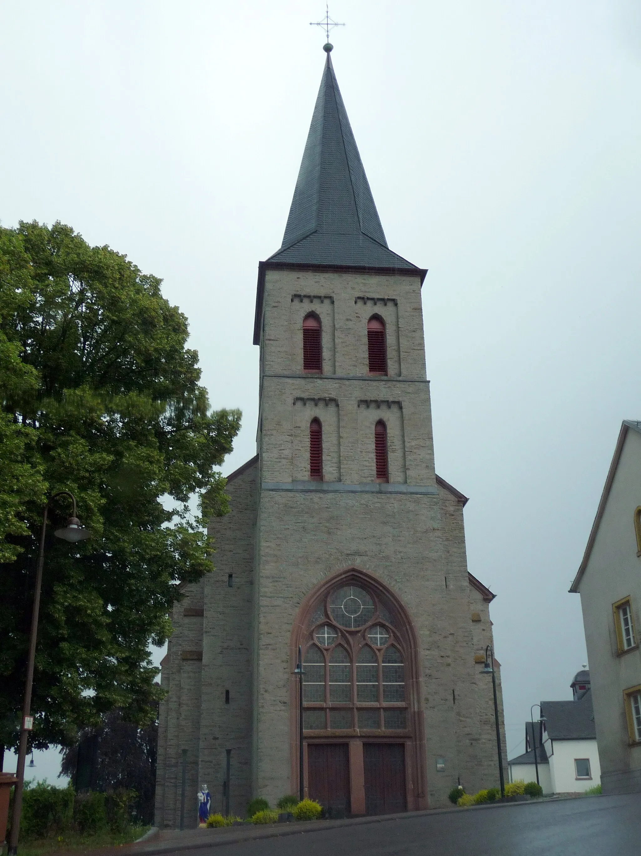
OberreidenbachVillagePass through Oberreidenbach, a small and peaceful village surrounded by rolling hills.
39 km
39 km
DickesbachVillageCycle through Dickesbach, known for its scenic beauty and traditional architecture.
52 km
52 km
Bismarckturm Idar-ObersteinViewpointVisit the iconic Bismarckturm Idar-Oberstein, offering splendid panoramic views of the region.
53 km
53 km
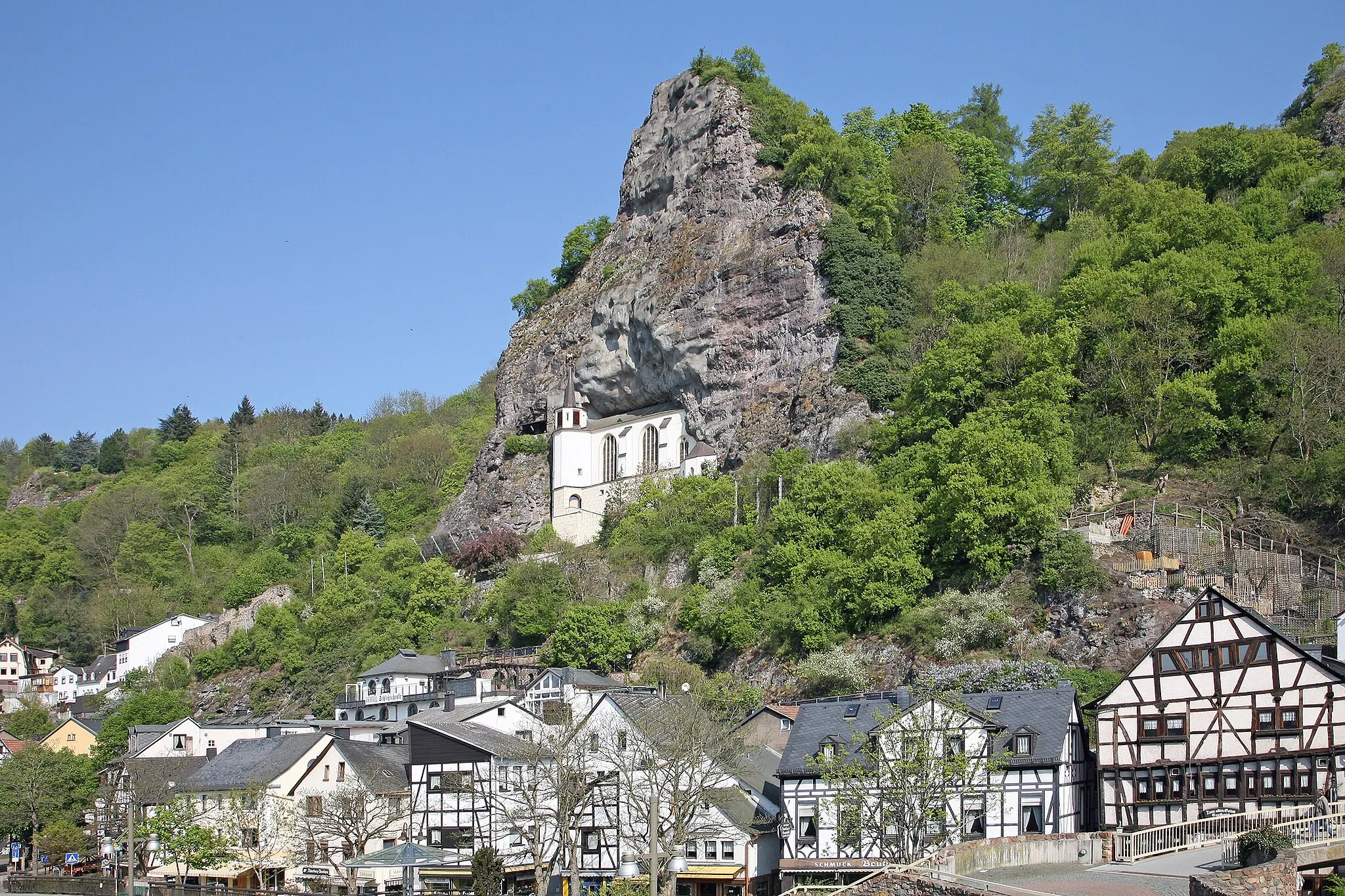
Idar-ObersteinTownConclude the route in Idar-Oberstein, known for its gemstone industry and historical charm.
53 km
53 km
Finish: Idar-Oberstein City centerIdar-Oberstein: Idar-Oberstein - Explore the hilly landscapes on your road or gravel bike.
Cycling routes nearby: