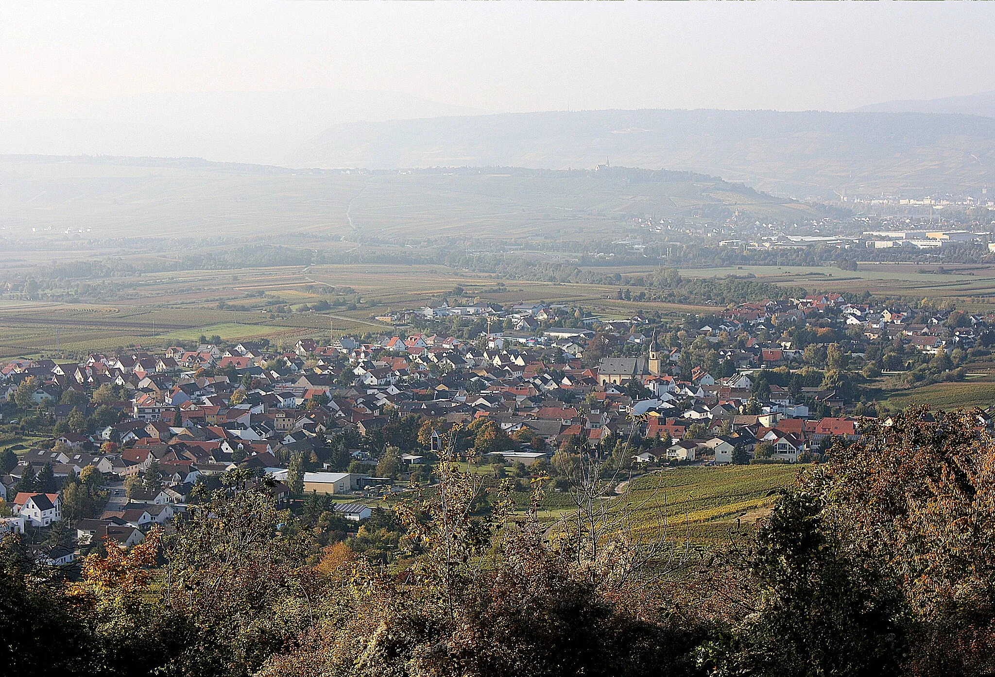
Discover the scenic vineyards and rolling hills of Langenlonsheim.
Cycling routes from Langenlonsheim
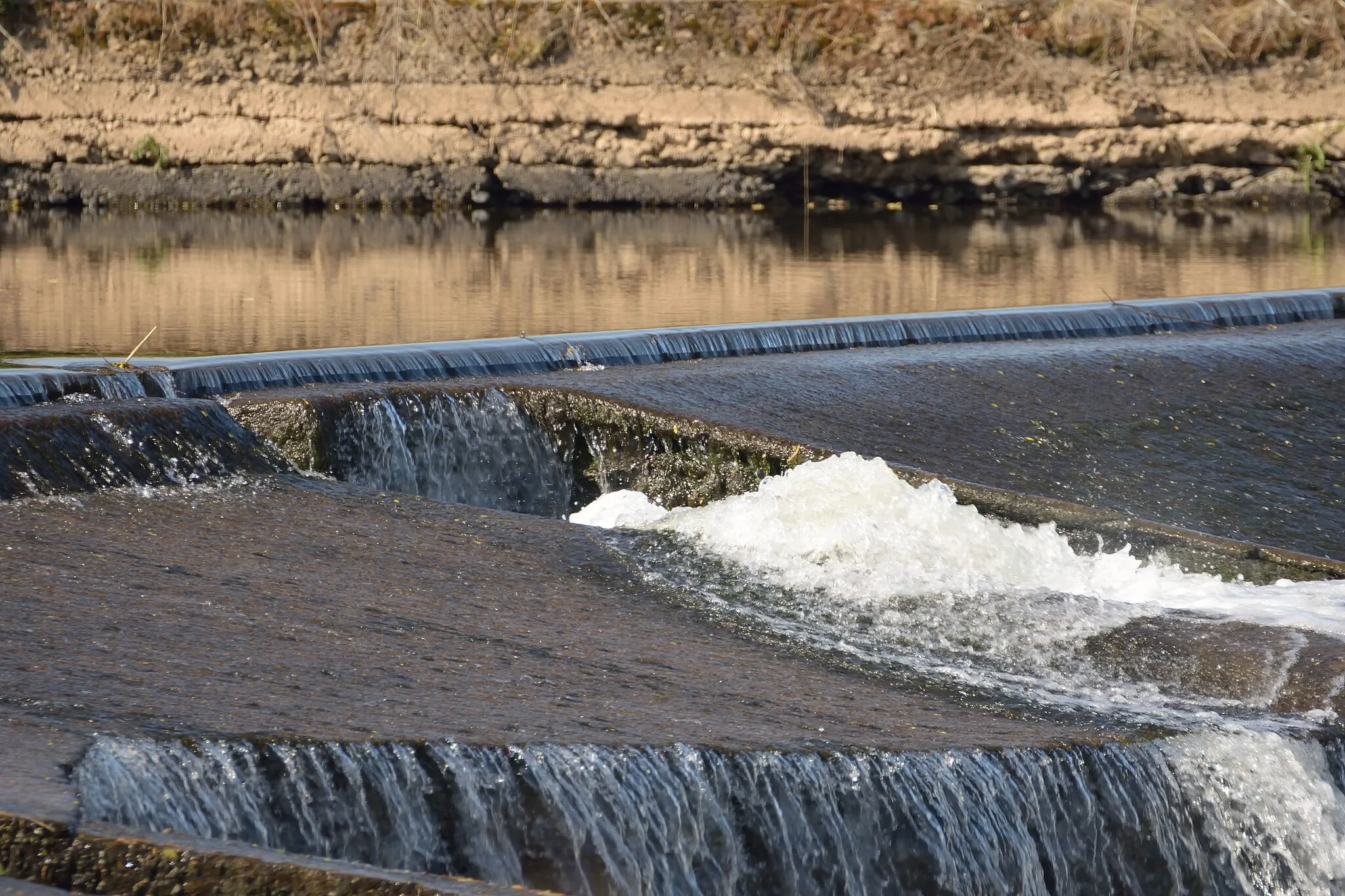
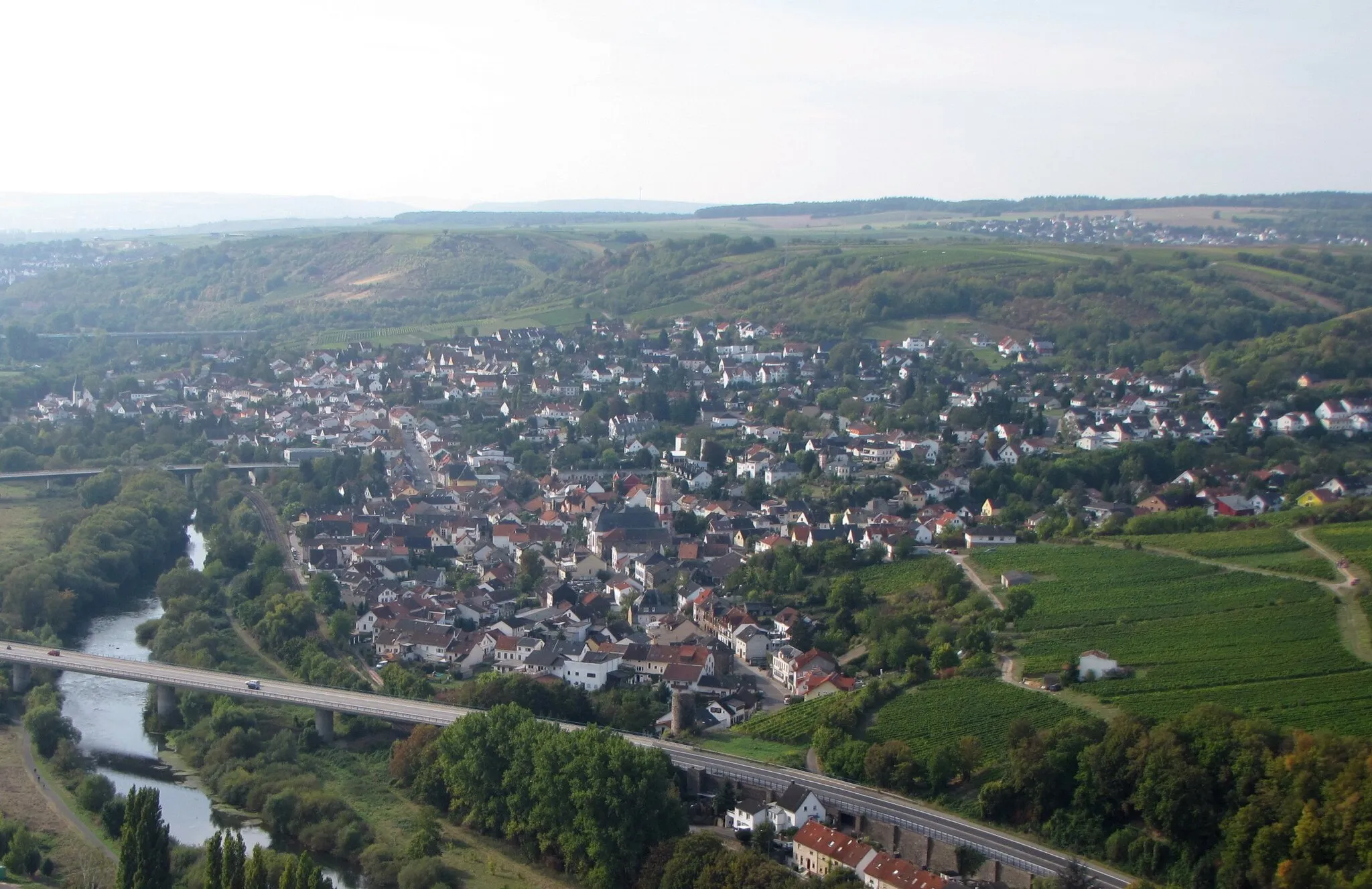
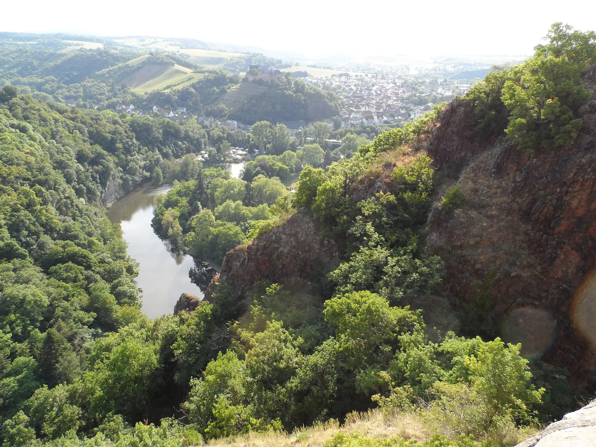
Langenlonsheim is a charming town in Germany, located near Koblenz. From a cyclist's perspective, Langenlonsheim offers a mix of roads and gravel paths that are perfect for exploring the surrounding countryside. The region is dotted with vineyards and rolling hills, providing scenic views during rides. A notable cycling spot nearby is the Naheland, a picturesque valley known for its excellent cycling routes. Overall, Langenlonsheim is a great destination for both road and gravel cyclists looking to enjoy beautiful landscapes and taste some delicious wine.
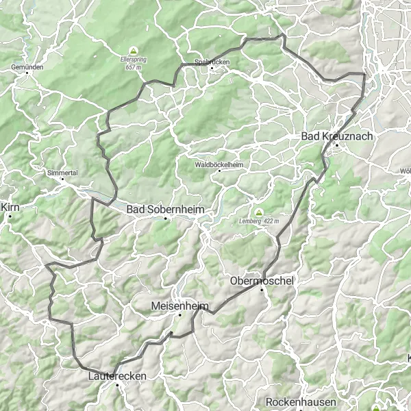
Embark on a challenging gravel ride near Rheinböllen
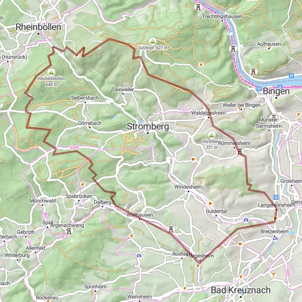
This challenging gravel cycling route near Rheinböllen offers a thrilling adventure for experienced gravel cyclists. With a total distance of 61 kilometers and an ascent of 1273 meters, this route provides a demanding off-road cycling experience. Along the way, you will encounter rugged terrain and rocky paths, as well as stunning views of the surrounding landscapes. Highlights of the route include the historical village of Wallhausen and the scenic Johannisberg. The difficulty level of this route is rated at 5 out of 5, providing a tough challenge for experienced gravel cyclists. Overall, this route offers an exhilarating gravel riding experience in the beautiful Rheinböllen region.
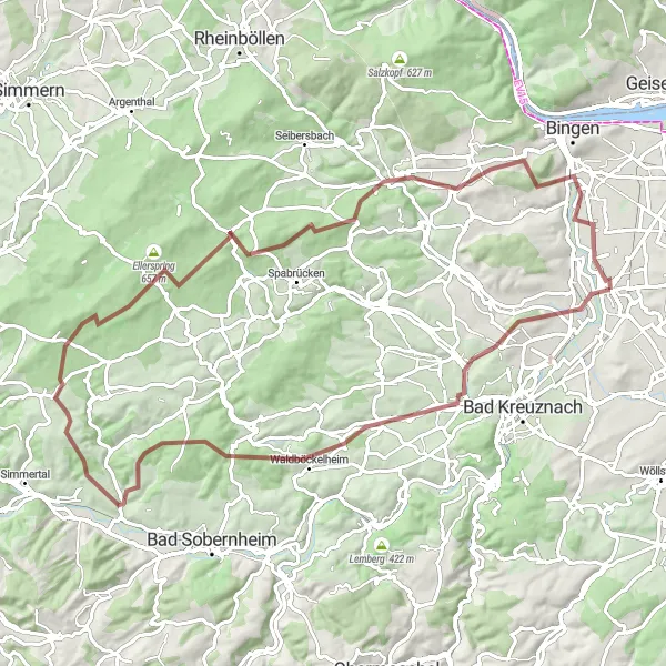
An 84-kilometer gravel route exploring the enchanting landscapes of Rhineland-Palatinate
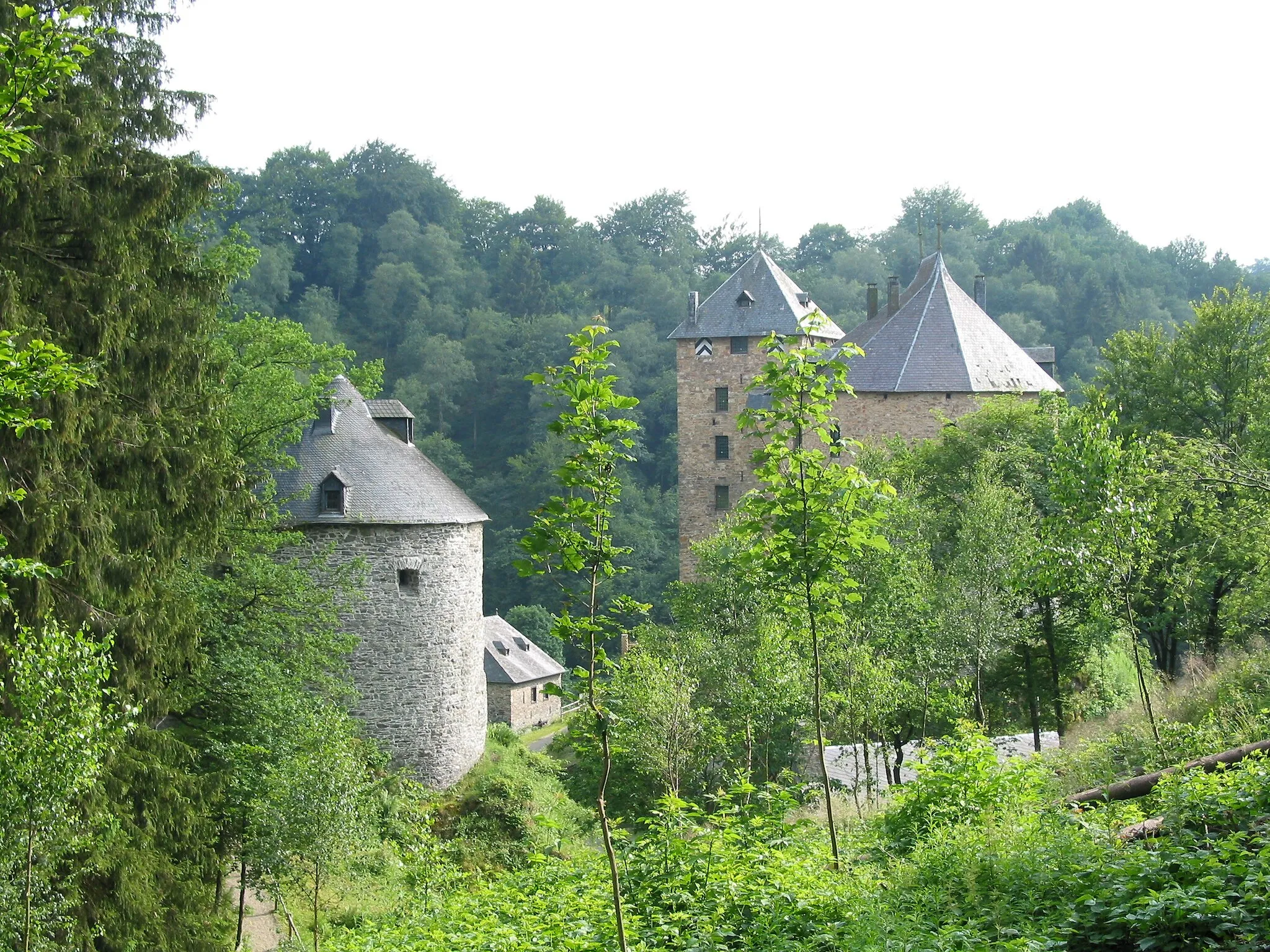
Embark on an epic 84-kilometer gravel adventure that takes you through the enchanting landscapes of Rhineland-Palatinate. With a total ascent of 1,386 meters, this route promises challenging climbs and rewarding descents. Experience the thrill of riding through diverse terrain, including forest trails and picturesque meadows. Highlights include the idyllic village of Hargesheim and the panoramic views from the Lohrer Köpfe hill. Explore the charming Waldböckelheim, surrounded by lush green forests, and discover the ruins of the ancient Alteburg castle. Immerse yourself in the serene atmosphere of Weißenfels and Schöneberg, two hidden gems in the region. Finally, enjoy a breathtaking view of the Rhine River from Laubenheim before returning to Langenlonsheim.
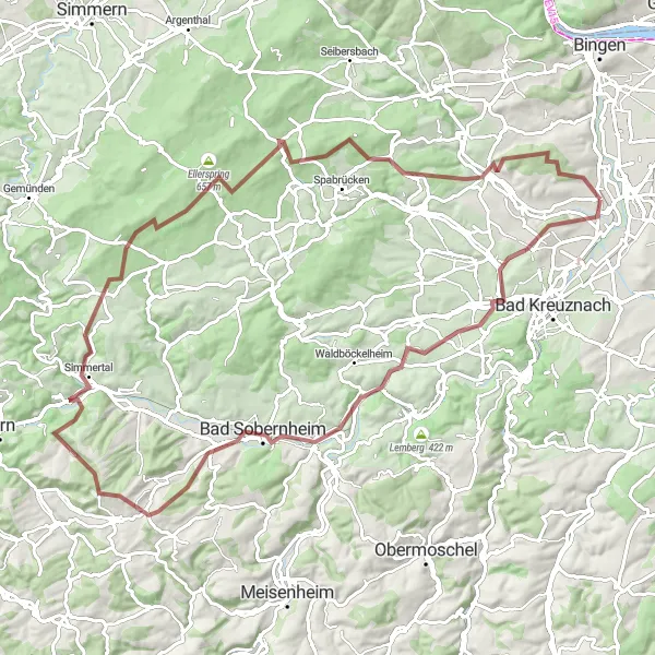
Discover the charming village of Hargesheim on this scenic gravel route
Embark on a 91-kilometer gravel adventure that takes you through picturesque landscapes and introduces you to the beautiful village of Hargesheim. The route offers challenging ascents, with a total elevation gain of 1,542 meters, providing a thrilling experience for seasoned cyclists. With its mix of forest trails and open countryside, this route is a true gem for gravel enthusiasts.

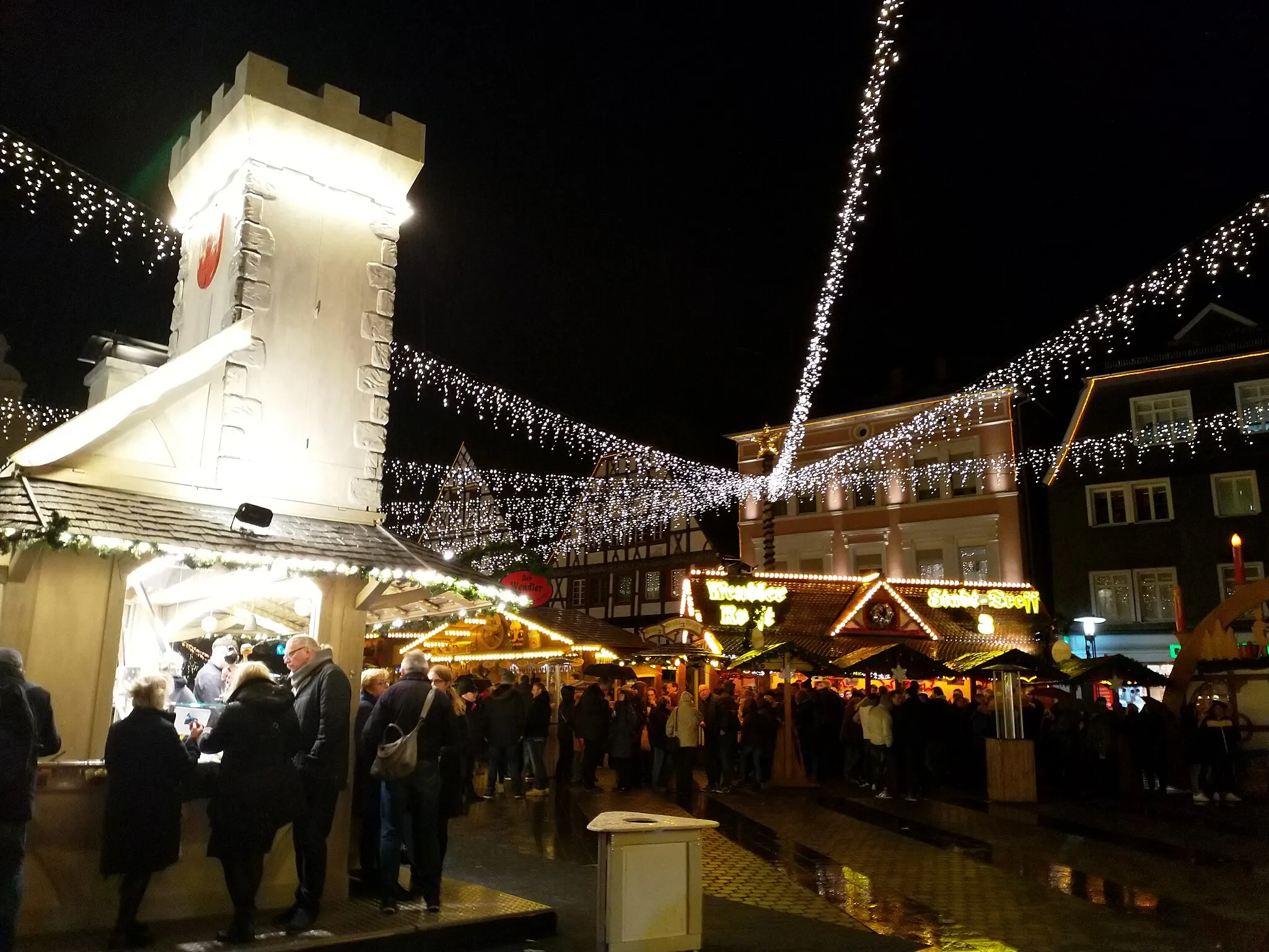
A 35-kilometer road ride for beginners exploring the beauty of Bingen
Ideal for beginner cyclists, this 35-kilometer road route is perfect for exploring the scenic beauty of Bingen. With only 117 meters of ascent, it offers a relatively easy ride with stunning river views and charming towns along the way. Take a detour to the Fernglas viewpoint for panoramic views of the Rhine River. Immerse yourself in the rich history and culture of Bingen, known for its castles, vineyards, and picturesque old town. Don't miss the Ockenheim viewpoint, offering a peaceful spot to enjoy the natural beauty of the area. Finally, reach Gensingen, where you can take in the charm of this small town before heading back to Langenlonsheim.
The Ultimate Challenge
Conquer the legendary climbs and stunning landscapes near Bad Kreuznach
This epic road cycling route near Bad Kreuznach offers the ultimate challenge for seasoned cyclists. With a total distance of 114 kilometers and an ascent of 1600 meters, this route features legendary climbs and breathtaking landscapes. Along the way, you will conquer the famous Kirschroth and Limbacher Höhe, and enjoy stunning views from the Rabenkopf and Felseneremitage. Highlights of the route include the historic town of Bad Kreuznach and the picturesque Seelberg. The difficulty level of this route is rated at 5 out of 5, providing an extremely challenging ride for experienced cyclists. Overall, this route provides a legendary cycling experience with unforgettable climbs and magnificent scenery.
A 56-kilometer adventurous route through the diverse landscapes surrounding Koblenz
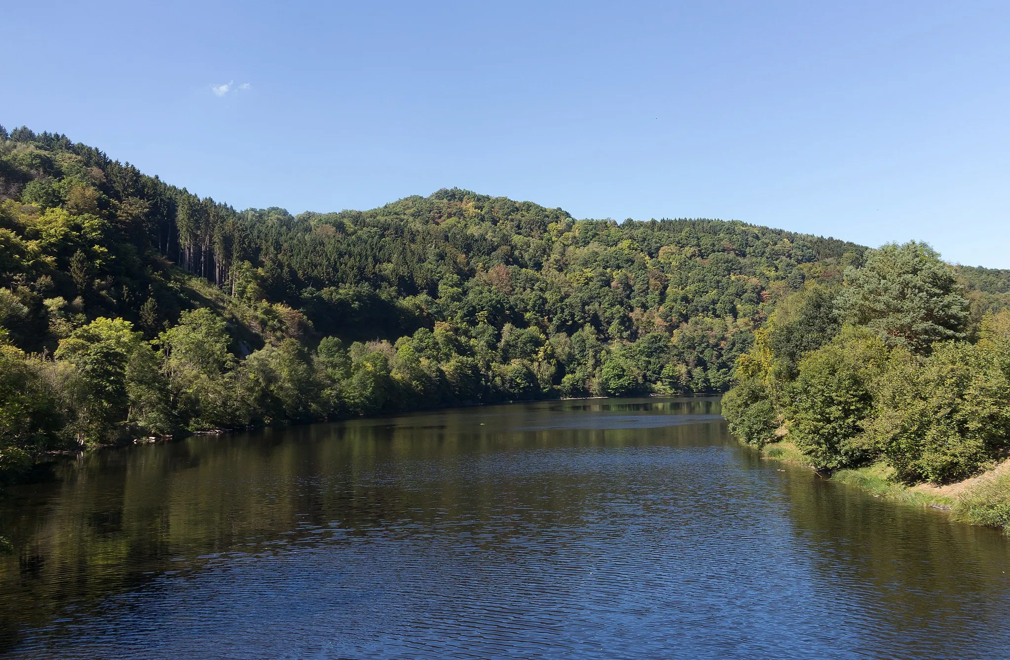
This exhilarating gravel route covers a distance of 56 kilometers, with a total ascent of 854 meters. Experience the varied terrain as you ride through forests, vineyards, and rural routes near Koblenz. The route offers a moderate challenge, making it suitable for intermediate cyclists who want to explore the outskirts of the city. Don't miss the impressive Domberg castle ruins and the panoramic view from the Lohrer Köpfe hill. Discover hidden gems like Manubach, a picturesque village surrounded by vineyards, and Bingen, known for its historical sites and picturesque old town.
Embark on an exciting gravel adventure near Wiesbaden
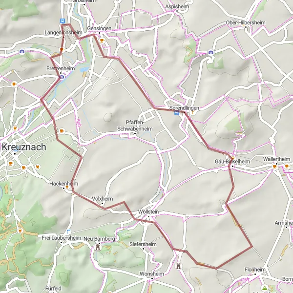
This gravel cycling route near Langenlonsheim offers an adventurous journey through scenic gravel paths and countryside. With a total distance of 42 kilometers and an ascent of 311 meters, this route is suitable for well-trained amateurs who enjoy off-road cycling. Along the way, you will pass through picturesque villages such as Biebelsheim and Kirchberg. Highlights of the route include the charming village of Gau-Bickelheim and the historic town of Kirchberg. The difficulty level of this route is rated at 2 out of 5, providing a relatively easy gravel cycling experience. Overall, this route offers a unique and enjoyable adventure for gravel cycling enthusiasts.
The Hills of Bad Kreuznach
Experience the beautiful hills and valleys of Bad Kreuznach
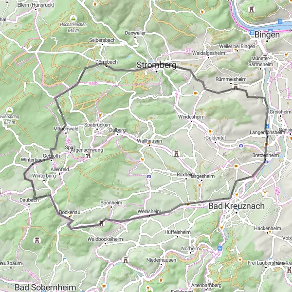
This road cycling route takes you through the scenic countryside of Bad Kreuznach, offering spectacular views of the surrounding hills and valleys. With a total distance of 61 kilometers and an ascent of 801 meters, this route is suitable for well-trained amateurs. You will pass through charming towns like Daubach and Dorsheim, and have the opportunity to explore highlights along the way, such as the Lohrer Köpfe and Geyerfels. The difficulty level of this route is rated at 3 out of 5, providing a moderate challenge for cyclists. Overall, this route offers a delightful cycling experience with breathtaking scenery and interesting cultural highlights.
Discover the beauty of Albig and its surrounding landscapes
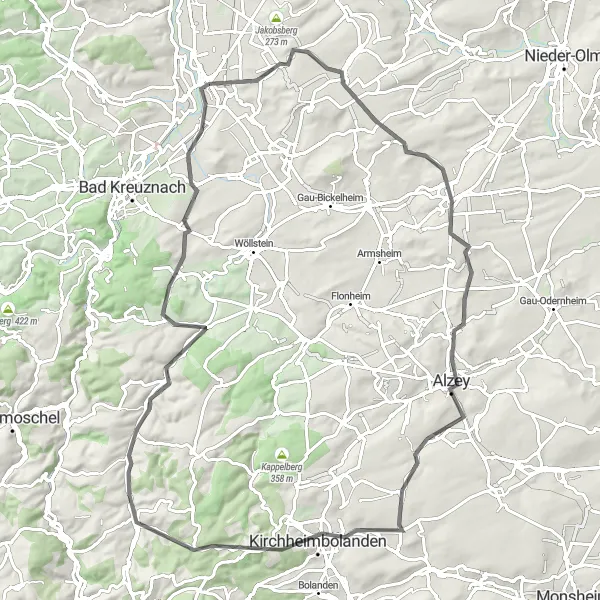
This road cycling route takes you through the stunning landscapes around Albig, offering breathtaking views and cultural highlights. With a total distance of 89 kilometers and an ascent of 834 meters, this route provides a challenging yet rewarding cycling experience. Along the way, you will pass through charming towns such as Vendersheim and Kirchheimbolanden. Highlights of the route include the Albig Castle, which offers panoramic views of the countryside, and the Kuhkopf Nature Reserve, known for its diverse wildlife. The difficulty level of this route is rated at 4 out of 5, providing a demanding ride for cyclists. Overall, this route offers a wonderful combination of natural beauty and historic attractions.
A 74-kilometer road route along the scenic banks of the River Nahe
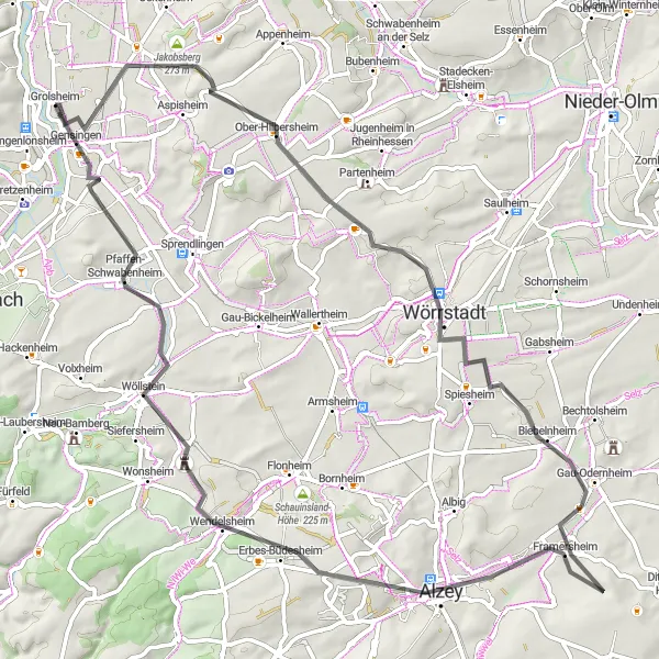
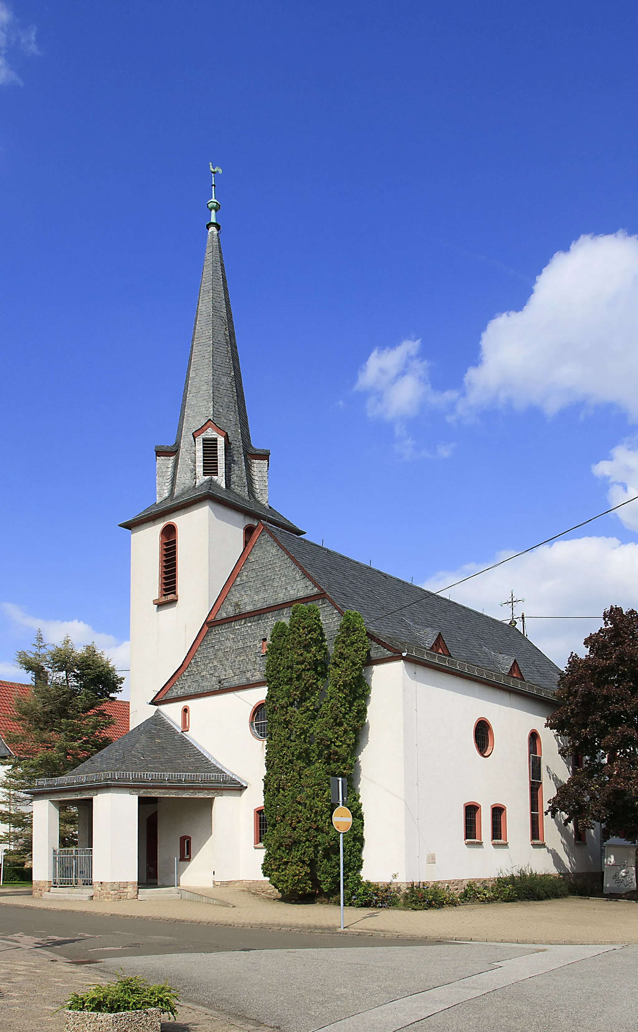
This stunning 74-kilometer road route follows the picturesque River Nahe, offering breathtaking views and a peaceful cycling experience. The relatively flat terrain and gentle ascents make it suitable for cyclists of all levels. Discover charming towns and landmarks along the way, such as the Storchenbrunnen fountain in Langenlonsheim and the historic village of Ober-Hilbersheim. Explore Biebelnheim, famous for its enchanting vineyards and winegrowing traditions. Pass through the idyllic Zeilstück region, surrounded by rolling hills and picturesque landscapes. Finally, reach the charming town of Gensingen.
Cycling routes nearby:


Nearby regions: