The Hills of Bad Kreuznach
A road cycling route starting from Langenlonsheim
Experience the beautiful hills and valleys of Bad Kreuznach
Map
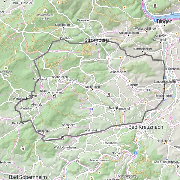
This road cycling route takes you through the scenic countryside of Bad Kreuznach, offering spectacular views of the surrounding hills and valleys. With a total distance of 61 kilometers and an ascent of 801 meters, this route is suitable for well-trained amateurs. You will pass through charming towns like Daubach and Dorsheim, and have the opportunity to explore highlights along the way, such as the Lohrer Köpfe and Geyerfels. The difficulty level of this route is rated at 3 out of 5, providing a moderate challenge for cyclists. Overall, this route offers a delightful cycling experience with breathtaking scenery and interesting cultural highlights.
road
61 km
801 m
Tough
Route profile
Highlights on the route
0 km
0 km
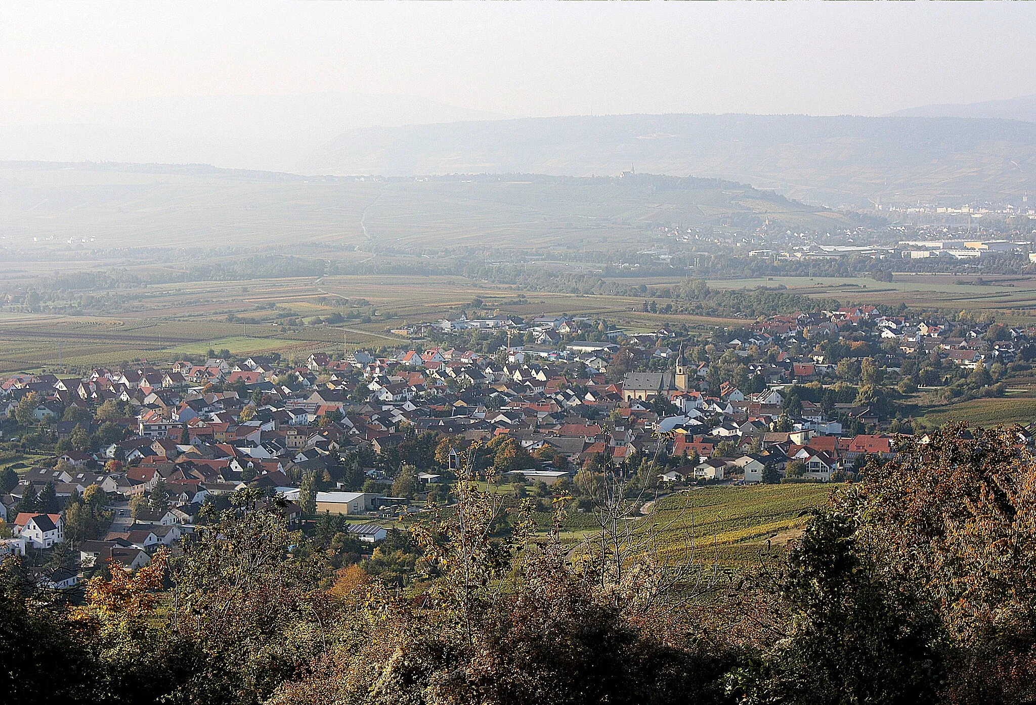
Start: Langenlonsheim Village centerLangenlonsheim: Discover the scenic vineyards and rolling hills of Langenlonsheim.
Langenlonsheim is a charming town in Germany, located near Koblenz. From a cyclist's perspective, Langenlonsheim offers a mix of roads and gravel paths that are perfect for exploring the surrounding countryside. The region is dotted with vineyards and rolling hills, providing scenic views during rides. A notable cycling spot nearby is the Naheland, a picturesque valley known for its excellent cycling routes. Overall, Langenlonsheim is a great destination for both road and gravel cyclists looking to enjoy beautiful landscapes and taste some delicious wine.6 km
6 km
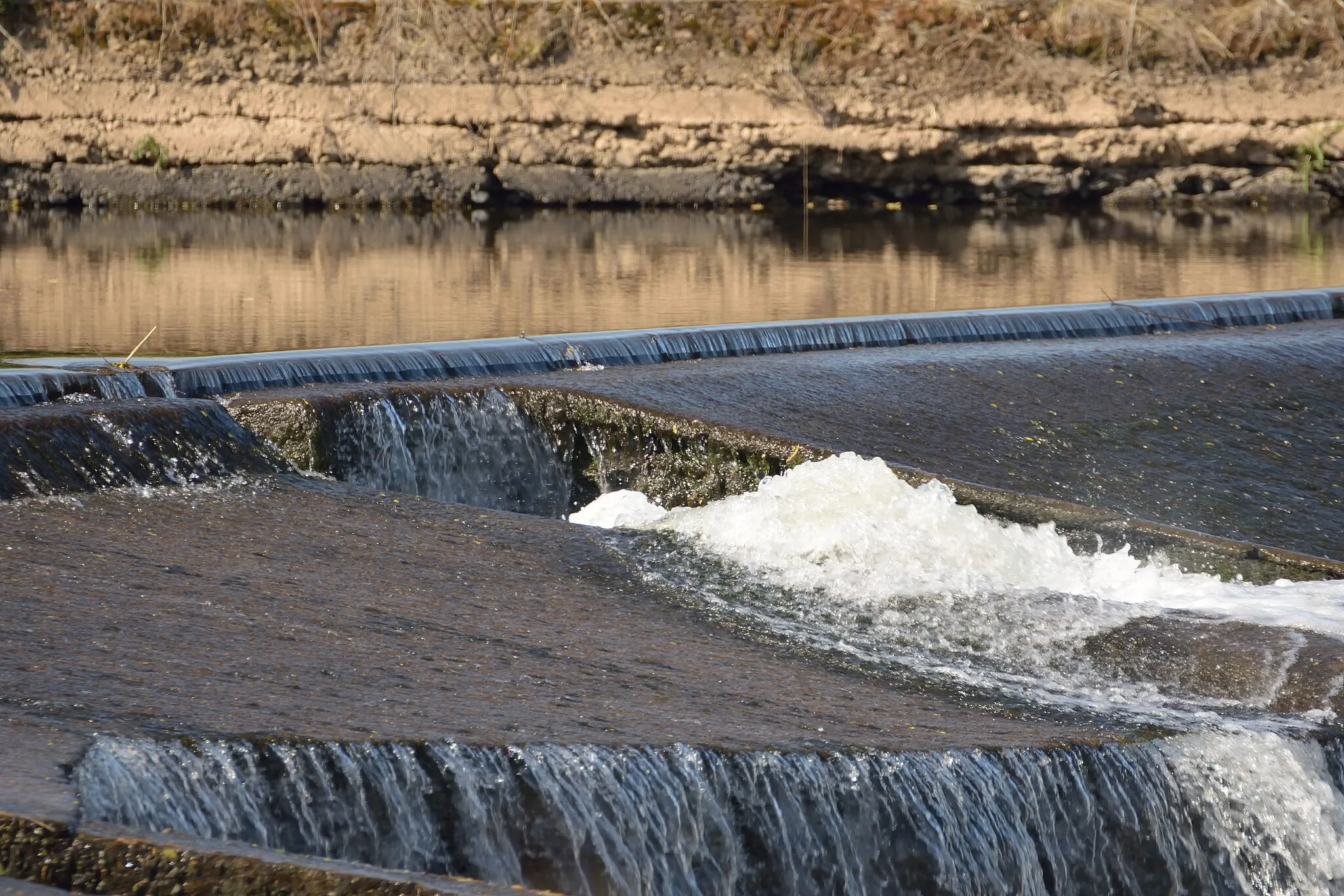
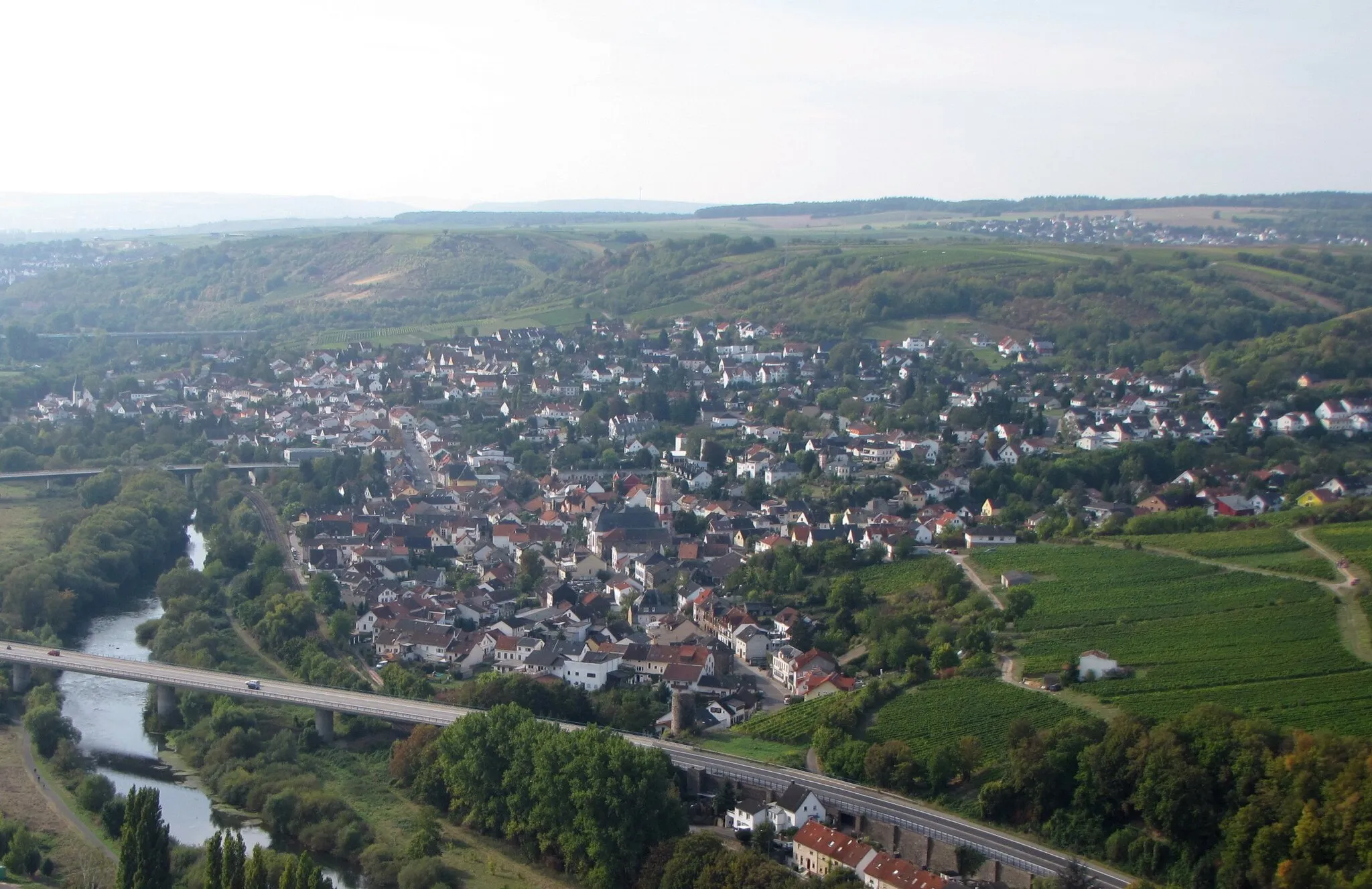
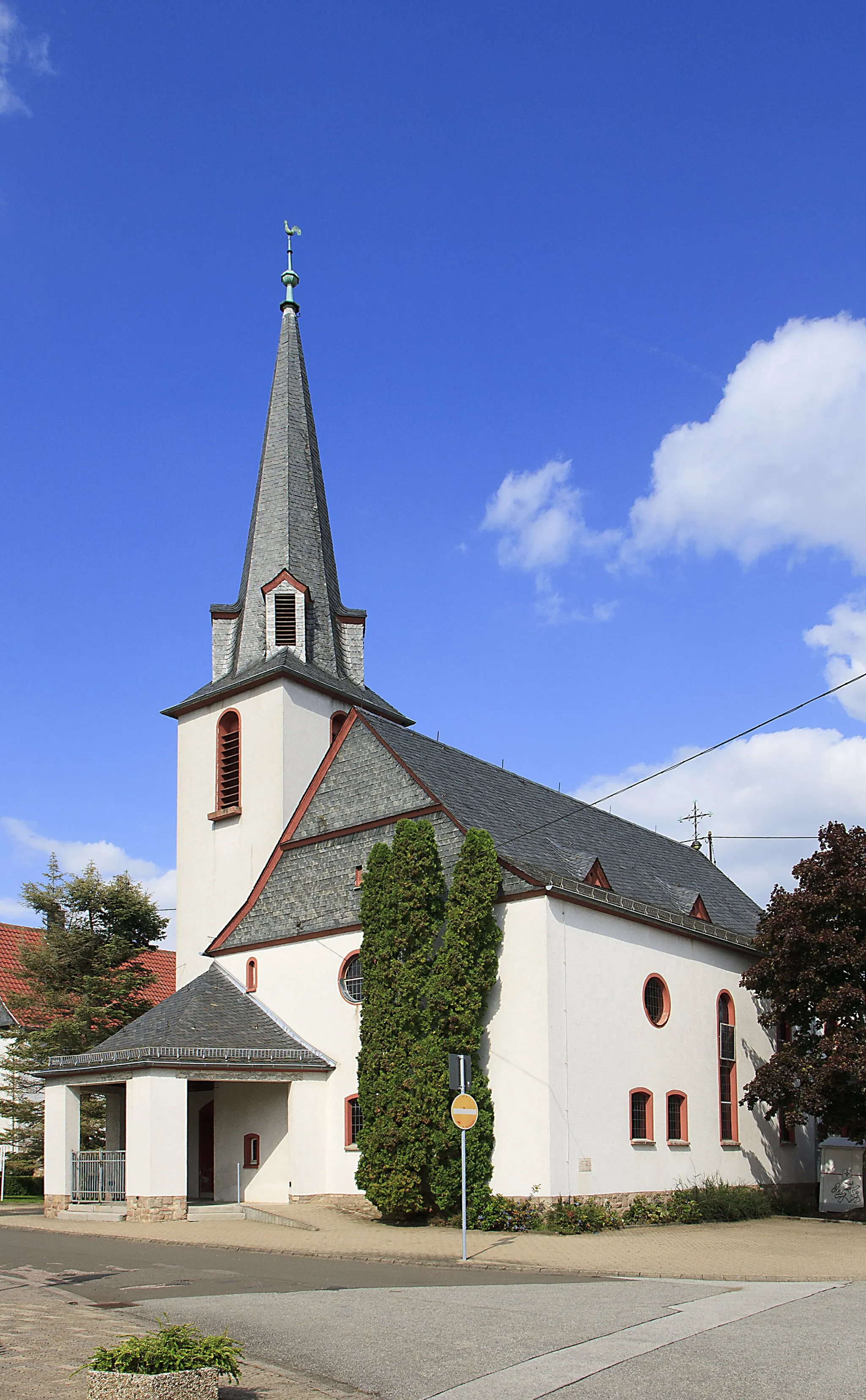
Bad KreuznachTownBad Kreuznach is known for its therapeutic spa and one of the oldest solar-powered car races in the world.
9 km
9 km
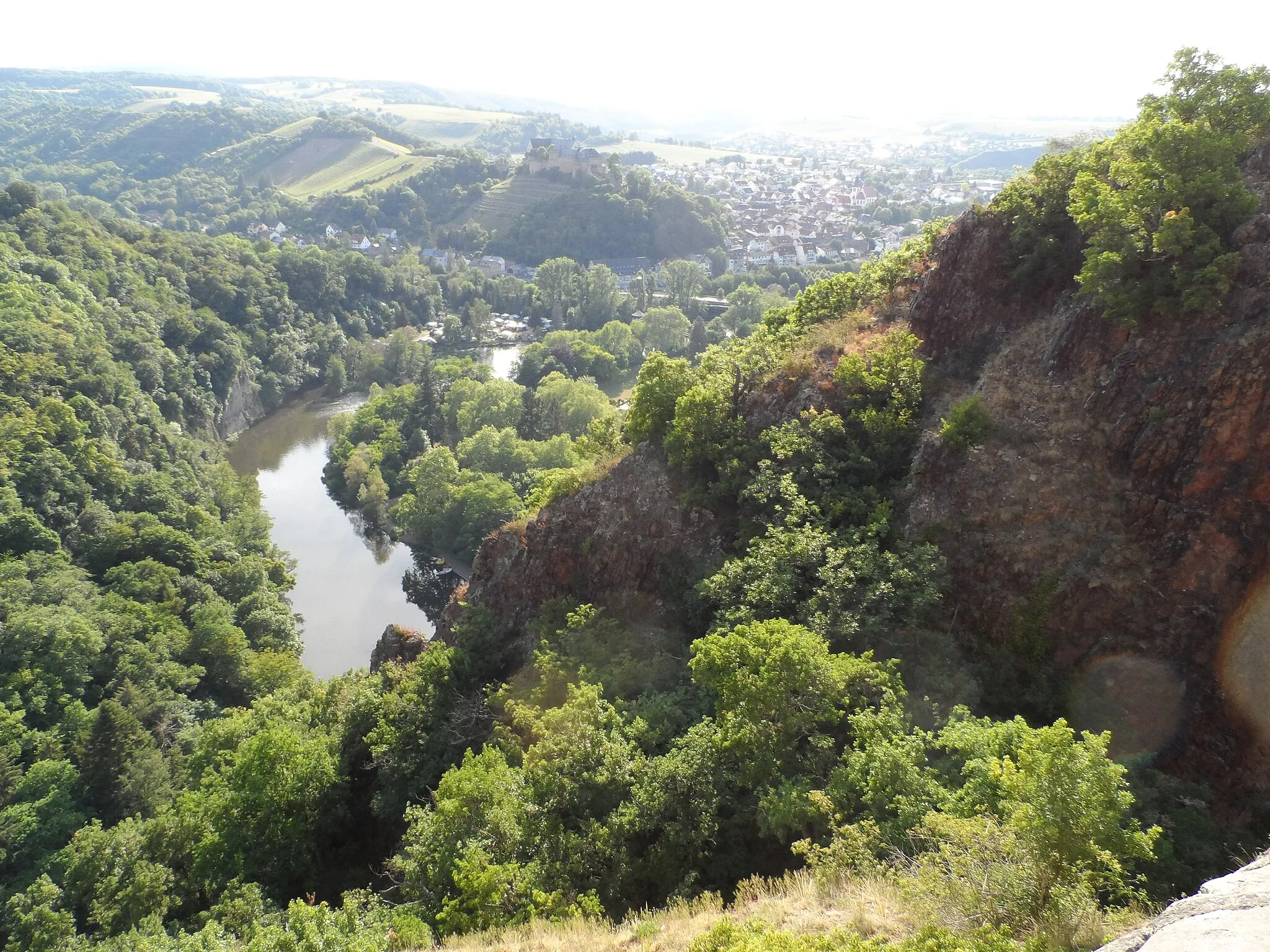
Lohrer Köpfe177 mPeakLohrer Köpfe is a popular hiking destination with stunning panoramic views of the surrounding landscapes.
17 km
17 km
Welschberg336 mPeakWelschberg is a small, picturesque village with traditional half-timbered houses and vineyards.
25 km
25 km
DaubachVillageDaubach is home to the Schiefergrube Herrenberg, a former slate mine that is now a geological nature park.
35 km
35 km
Geyerfels530 mPeakGeyerfels is a cliff formation with interesting rock formations and beautiful forest trails.
53 km
53 km
Domberg239 mPeakDomberg is a historic hilltop area in Bad Kreuznach, with impressive medieval buildings and a viewpoint overlooking the city.
56 km
56 km
DorsheimVillageDorsheim is known for its vineyards and wineries, offering opportunities for wine tasting and scenic walks.
61 km
61 km
Finish: Langenlonsheim Village centerLangenlonsheim: Discover the scenic vineyards and rolling hills of Langenlonsheim.
Cycling routes from Langenlonsheim:
Cycling routes nearby: