Exploring the Gravel Paths of Koblenz
A gravel cycling route starting from Langenlonsheim
A 56-kilometer adventurous route through the diverse landscapes surrounding Koblenz
Map
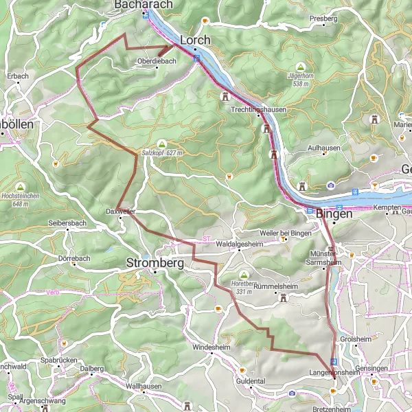
This exhilarating gravel route covers a distance of 56 kilometers, with a total ascent of 854 meters. Experience the varied terrain as you ride through forests, vineyards, and rural routes near Koblenz. The route offers a moderate challenge, making it suitable for intermediate cyclists who want to explore the outskirts of the city. Don't miss the impressive Domberg castle ruins and the panoramic view from the Lohrer Köpfe hill. Discover hidden gems like Manubach, a picturesque village surrounded by vineyards, and Bingen, known for its historical sites and picturesque old town.
gravel
56 km
854 m
Tough
Route profile
Highlights on the route
0 km
0 km
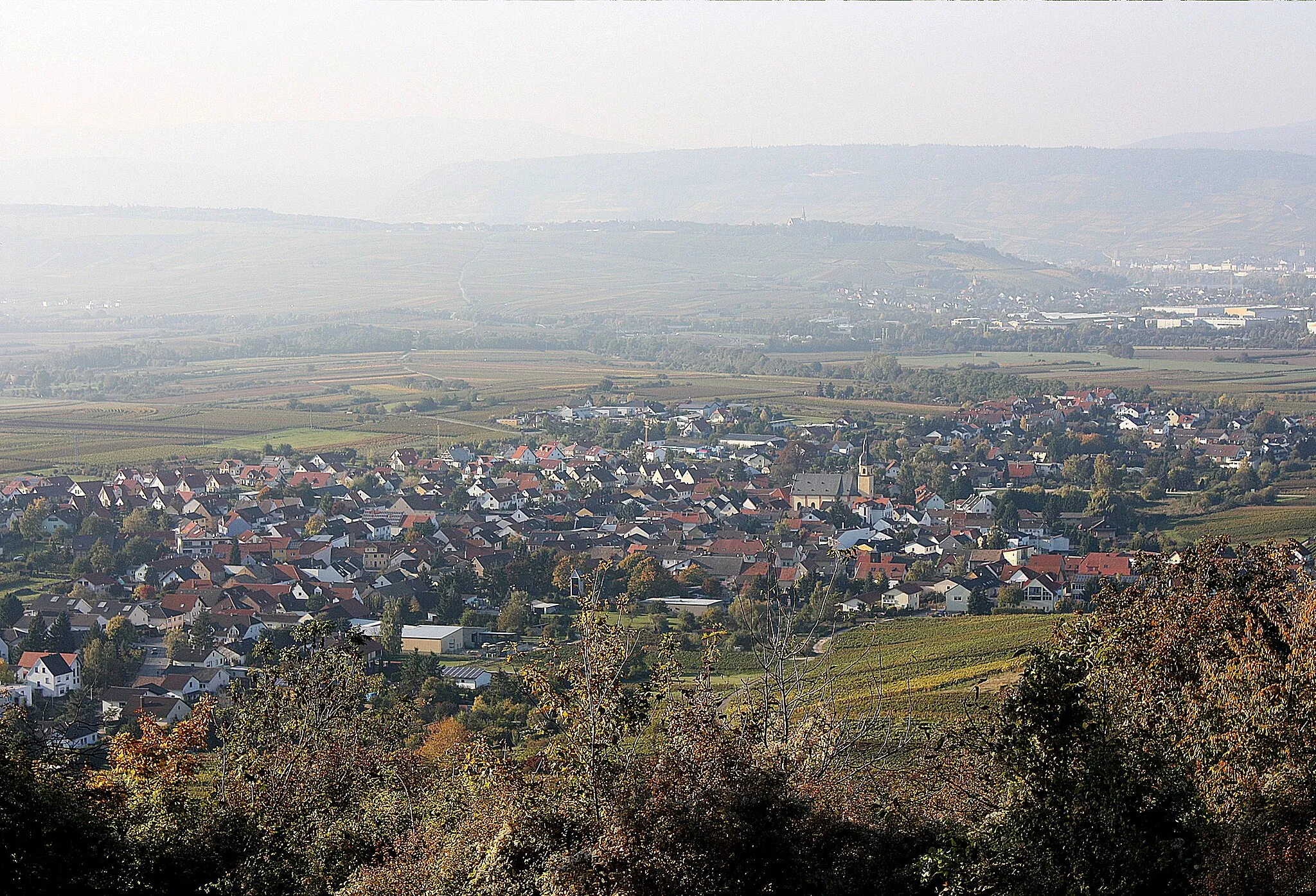
Start: Langenlonsheim Village centerLangenlonsheim: Discover the scenic vineyards and rolling hills of Langenlonsheim.
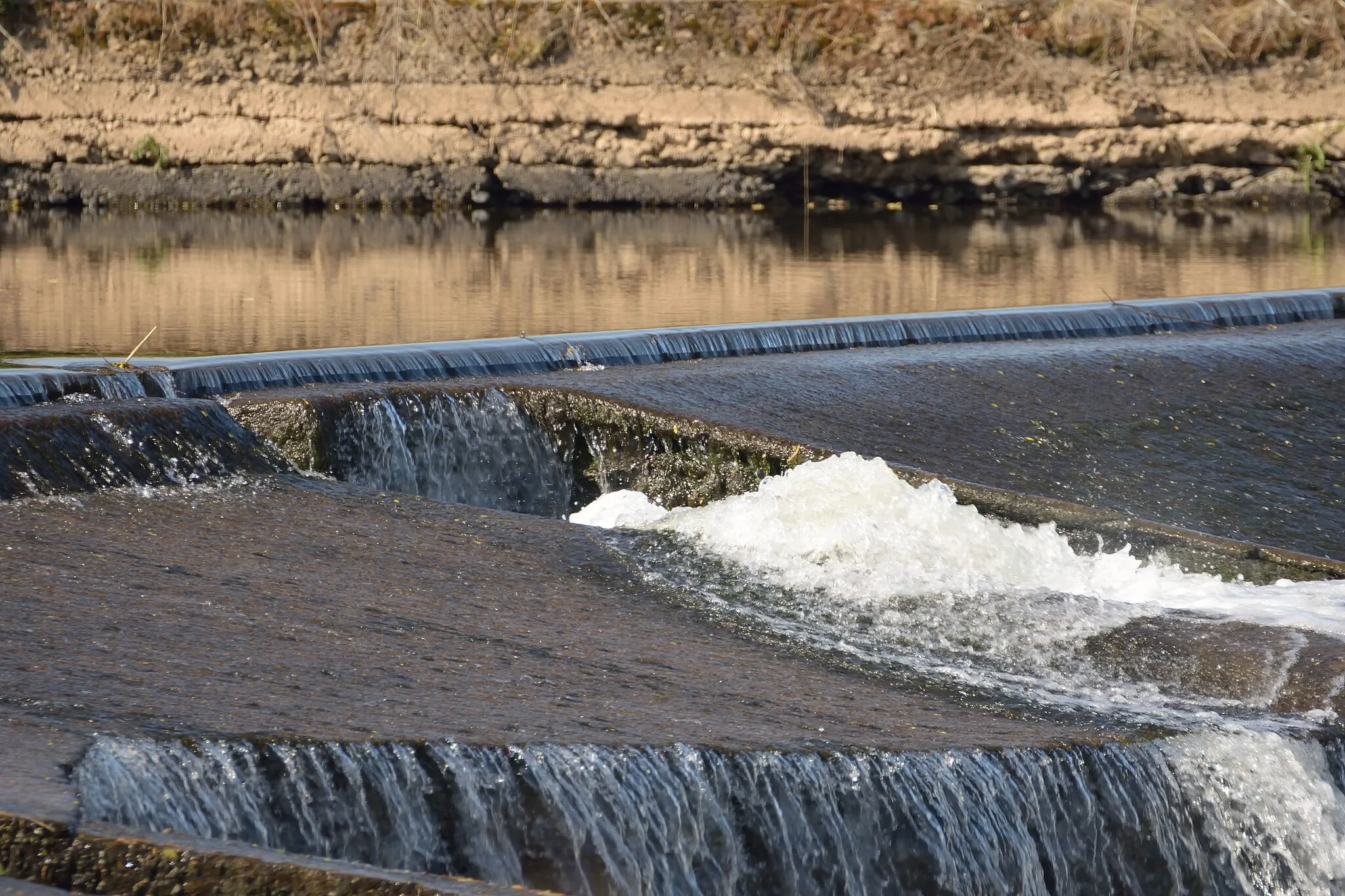
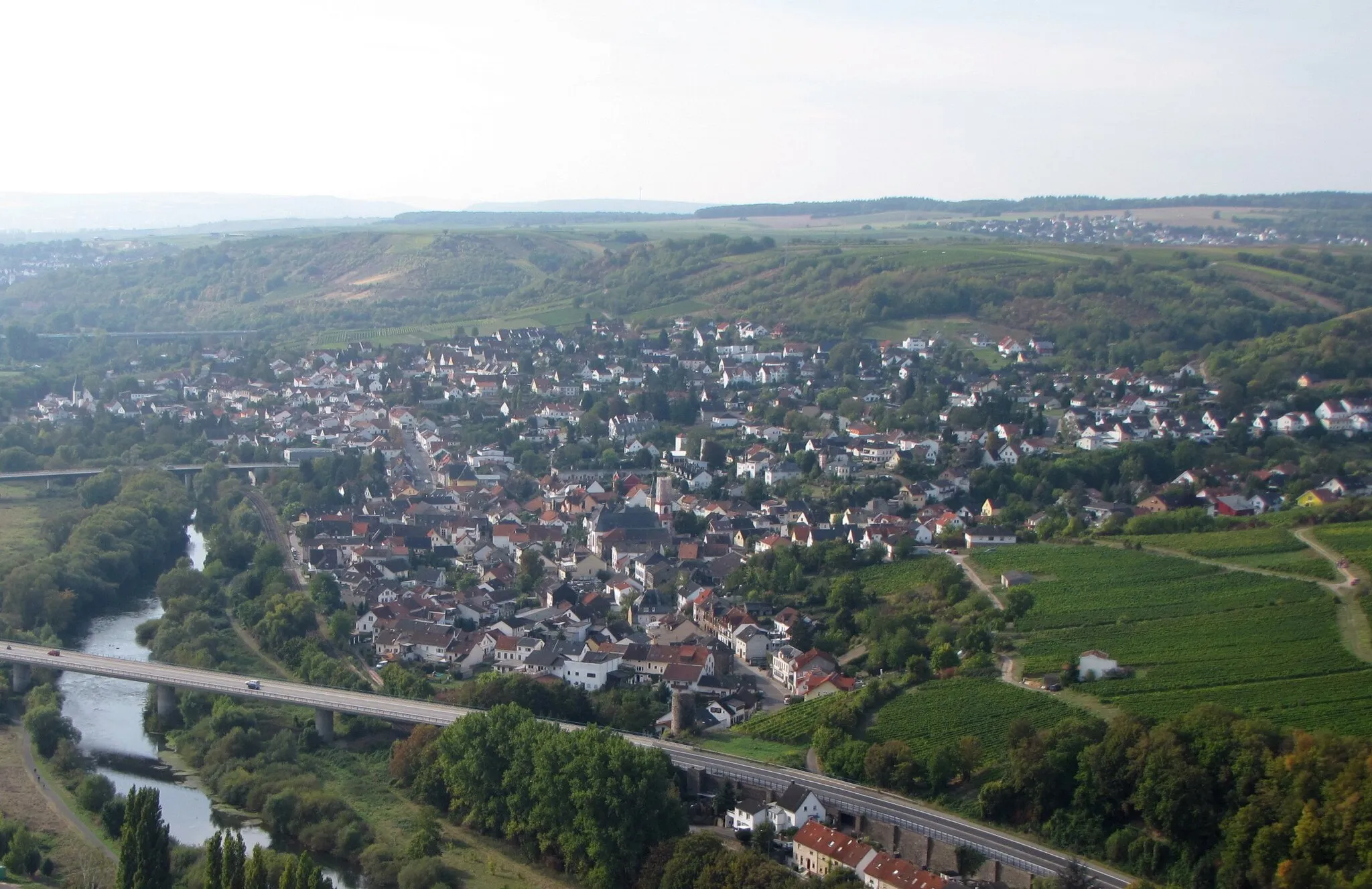
Langenlonsheim is a charming town in Germany, located near Koblenz. From a cyclist's perspective, Langenlonsheim offers a mix of roads and gravel paths that are perfect for exploring the surrounding countryside. The region is dotted with vineyards and rolling hills, providing scenic views during rides. A notable cycling spot nearby is the Naheland, a picturesque valley known for its excellent cycling routes. Overall, Langenlonsheim is a great destination for both road and gravel cyclists looking to enjoy beautiful landscapes and taste some delicious wine.7 km
7 km
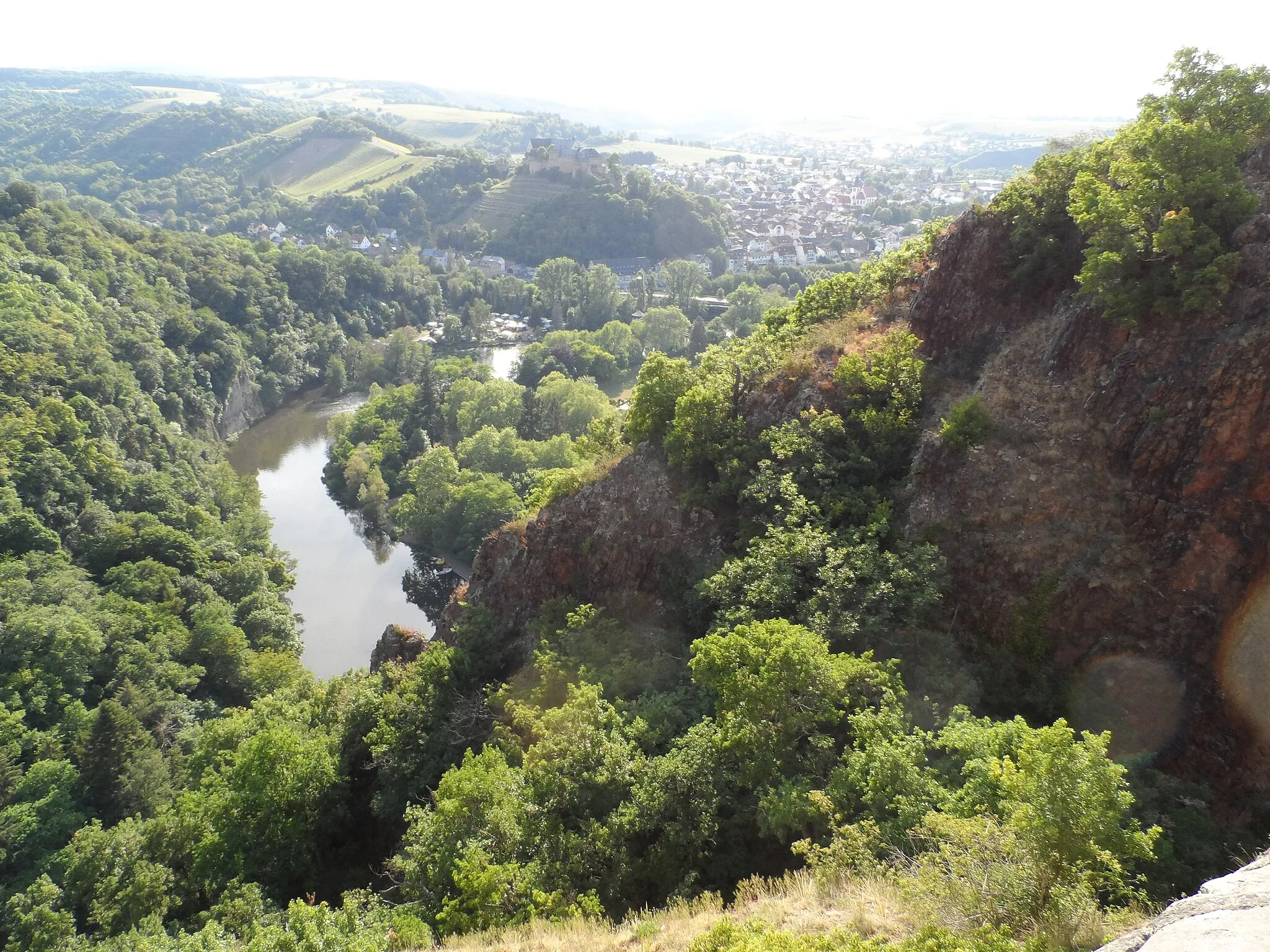
Domberg239 mPeakDomberg, also known as the Ehrenbreitstein Fortress, offers an impressive view over Koblenz and the confluence of the Rhine and Moselle rivers.
13 km
13 km
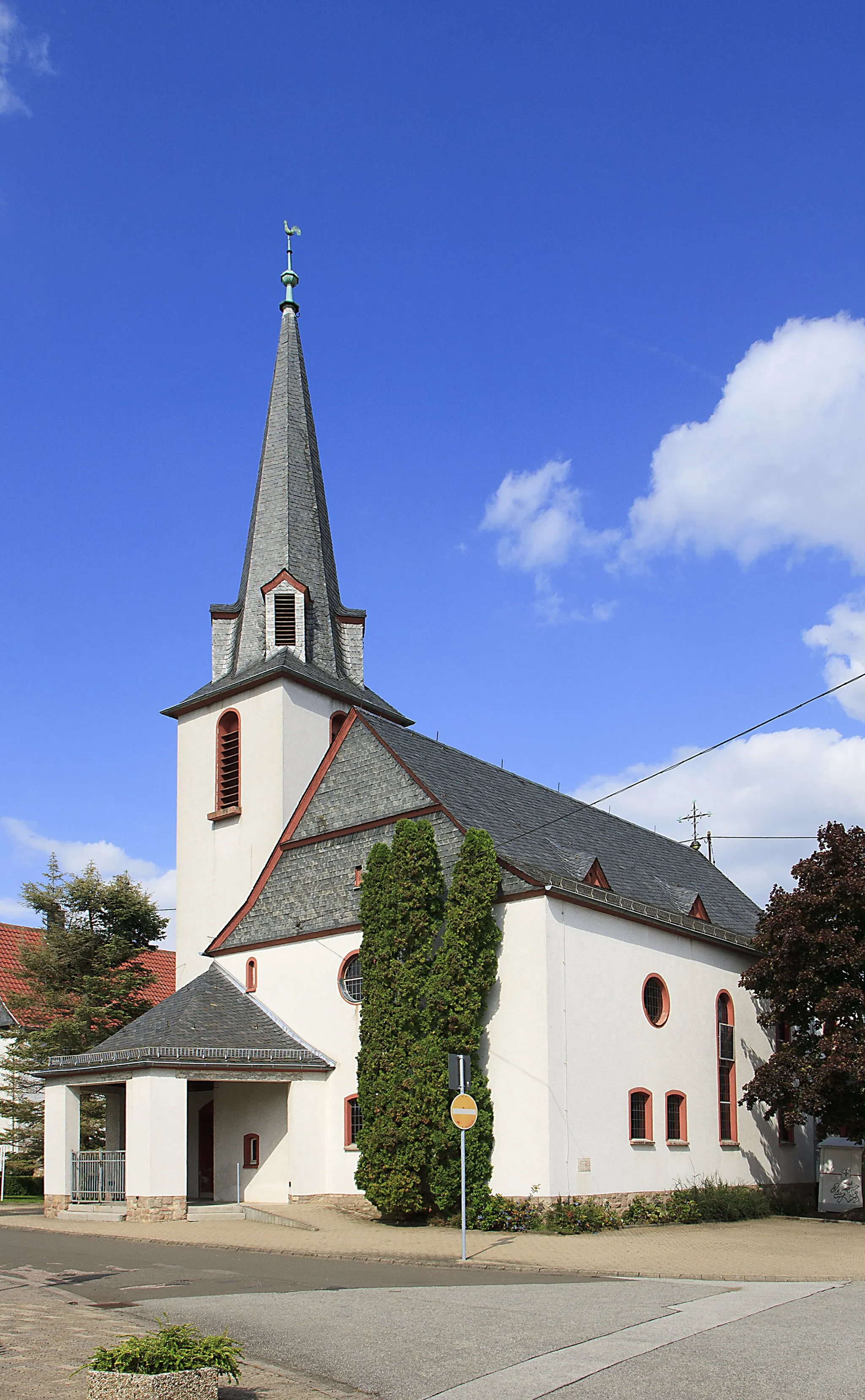
WarmsrothVillageWarmsroth is a small village with charming half-timbered houses and picturesque streets, offering a peaceful setting for a rest stop.
30 km
30 km
Kühlberg366 mPeakKühlberg is a scenic viewpoint that provides panoramic vistas of the Moselle Valley and the rolling hills of the Hunsrück region.
30 km
30 km
ManubachVillageLocated at the entrance to the Niederwald Monument, Manubach offers a serene atmosphere surrounded by the vineyards of the Mittelrhein region.
47 km
47 km
FernglasViewpointWith its breathtaking views of the Rhine River, the Fernglas viewpoint is a hidden gem that's worth a short detour off the main route.
47 km
47 km
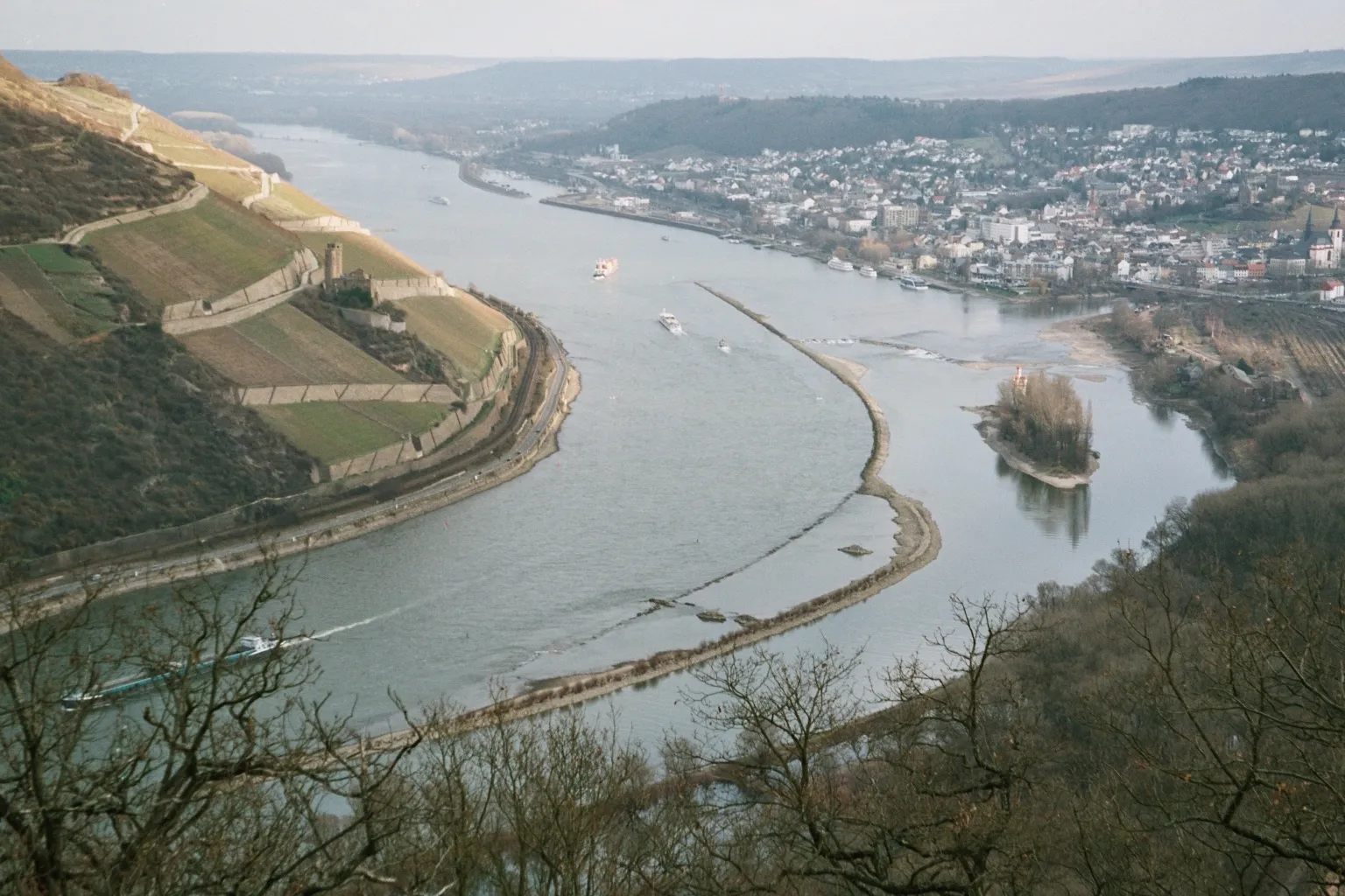
BingenTownBingen is a historic town known for its romantic castles, medieval architecture, and extensive vineyards. Take a stroll through the charming old town during your visit.
53 km
53 km
LaubenheimVillageLaubenheim is a picturesque village located in the midst of the vineyards. Enjoy a stop at one of the traditional wine taverns and immerse yourself in the local wine culture.
56 km
56 km
Finish: Langenlonsheim Village centerLangenlonsheim: Discover the scenic vineyards and rolling hills of Langenlonsheim.
Cycling routes from Langenlonsheim:
Cycling routes nearby: