Scenic Exploration
A gravel cycling route starting from Nastaetten
Embark on a scenic exploration of the countryside around Nastätten.
Map
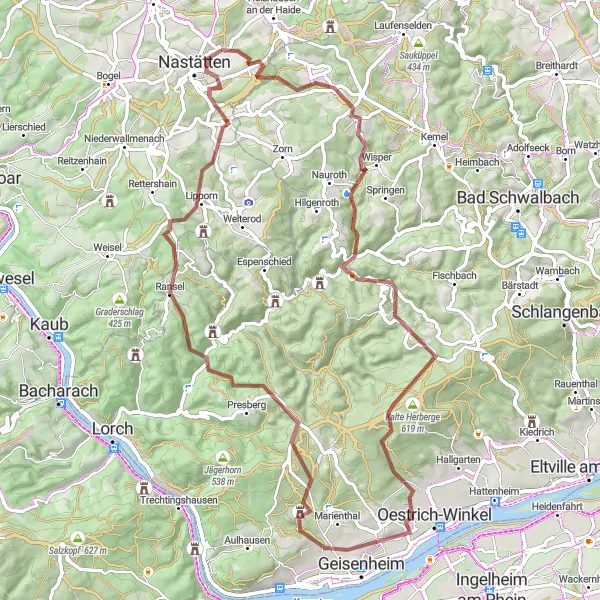
Embark on a scenic exploration of the countryside around Nastätten, covering a distance of 76km with an elevation gain of 1670m. This gravel route offers stunning views and allows you to immerse yourself in nature. Highlights along the way include Hahnkopf, Kalte Herberge, Geisenheim, and more. Get ready for a memorable cycling adventure.
gravel
76 km
1670 m
Tough
Route profile
Highlights on the route
0 km
0 km
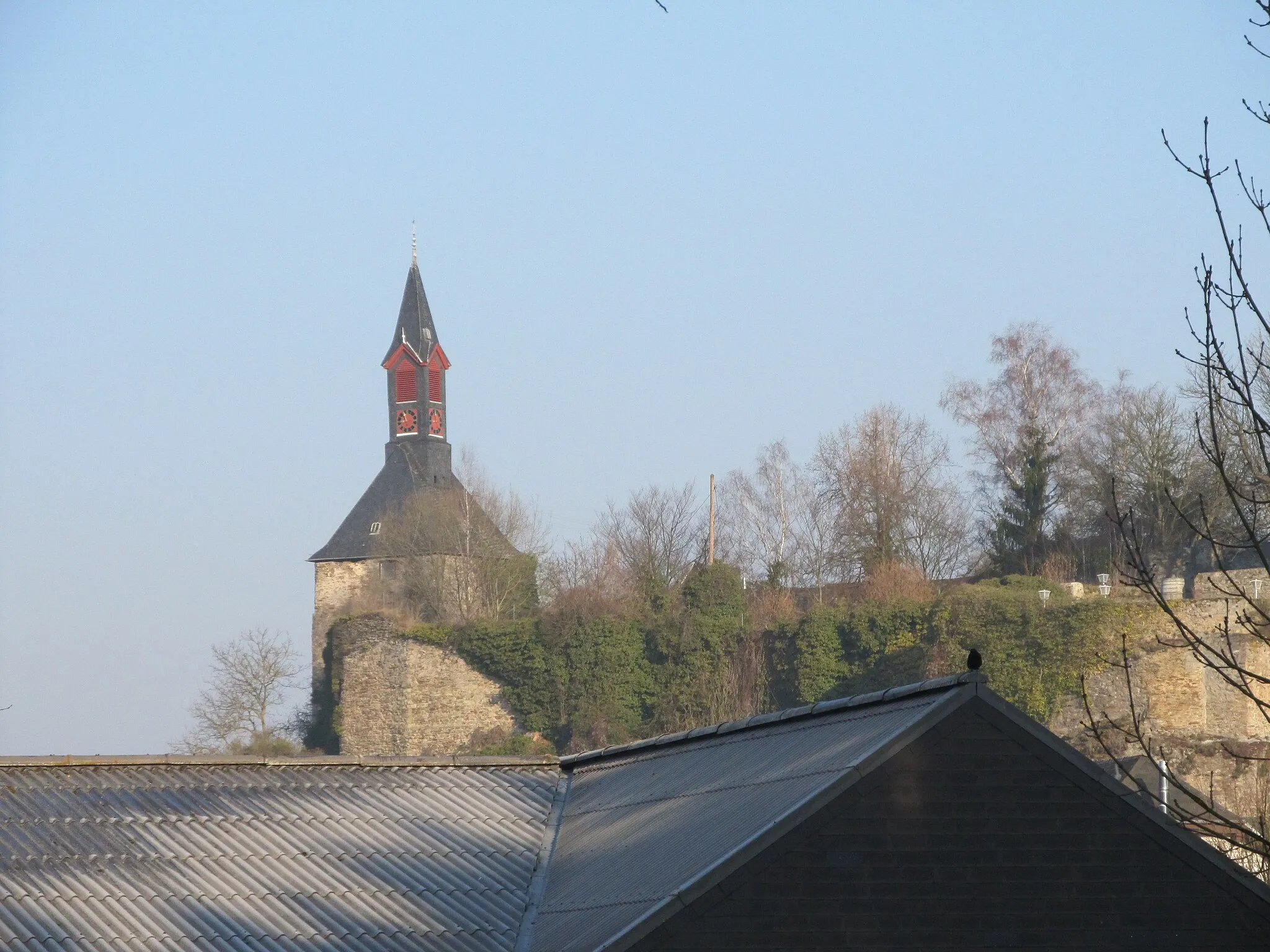
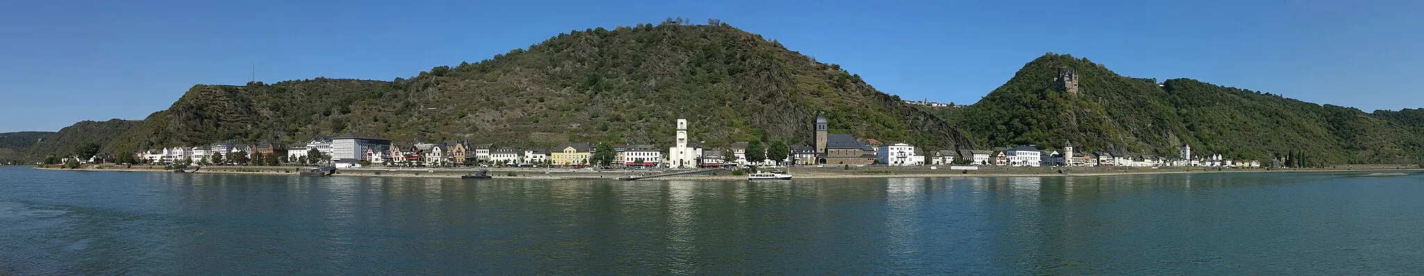
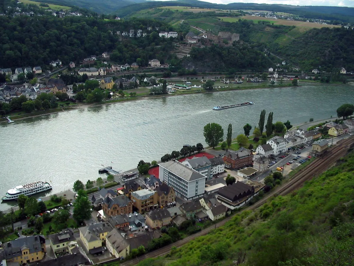
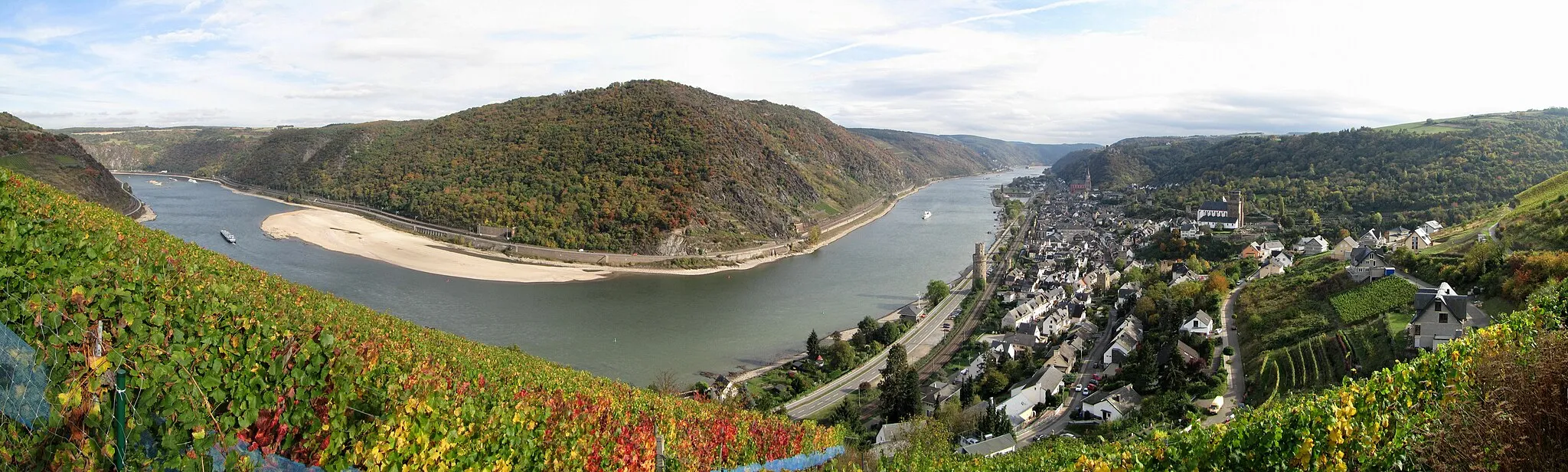
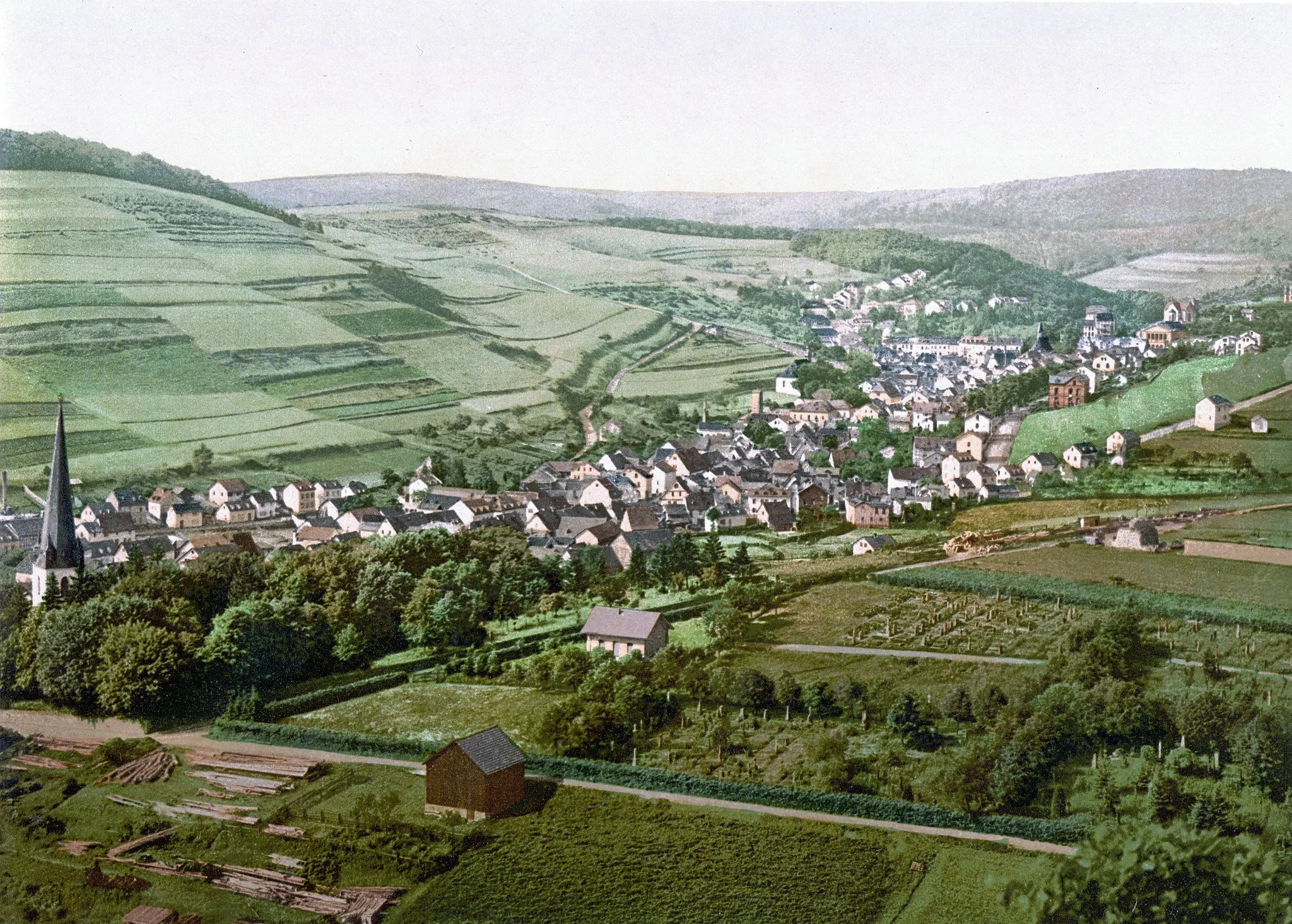
Start: Buch (Taunus) Village centerNastätten: Experience the scenic beauty of Nastätten in Koblenz, Germany while enjoying a variety of cycling routes and exploring the historic Deutsches Eck.
Nastätten, located in the region of Koblenz in Germany, offers a diverse range of cycling opportunities for road and gravel cyclists. With its rolling hills and picturesque landscapes, cyclists can expect enjoyable rides through quaint villages and lush forests. The locality is also famous for the Deutsches Eck, a historic monument at the confluence of the Moselle and Rhine rivers. Cyclists can combine their cycling adventures with visits to this iconic site. Furthermore, Nastätten is within proximity to several challenging climbs, including the Taunus Mountains, providing an added thrill for advanced cyclists seeking a demanding ride.16 km
16 km
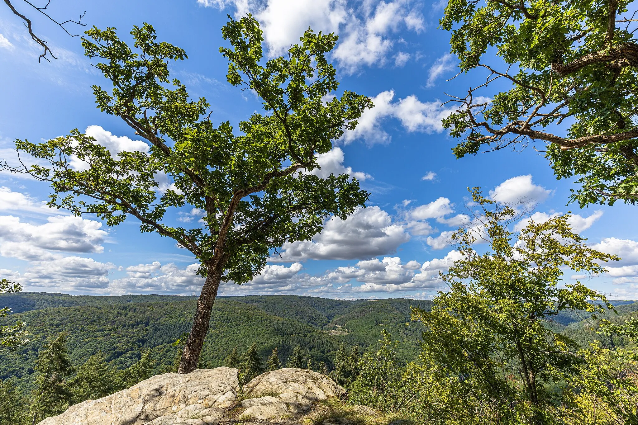
Hahnkopf474 mPeakMarvel at the breathtaking views from Hahnkopf and feel connected to nature.
29 km
29 km
Kalte Herberge619 mPeakKalte Herberge provides a peaceful resting spot, surrounded by serene landscapes and fresh air.
40 km
40 km
GeisenheimTownVisit Geisenheim, famous for its vineyards, and savor the aroma of the region's finest wines.
53 km
53 km
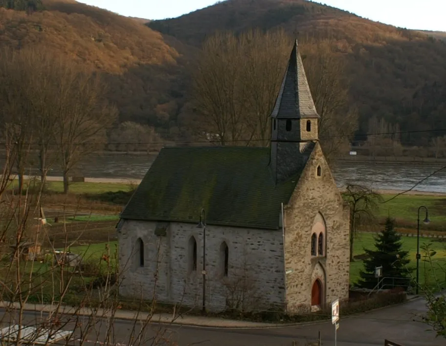
PresbergVillagePresberg offers a tranquil escape, with its charming village atmosphere and picturesque surroundings.
61 km
61 km
Kreuzhügel443 mPeakKreuzhügel rewards you with stunning panoramic viewpoints as you conquer the ascent.
69 km
69 km
DiethardtVillageDiethardt enchants with its scenic beauty and tranquil atmosphere, ideal for a stop to appreciate the surroundings.
75 km
75 km
Hollerberg350 mPeakHollerberg provides a mesmerizing view of the rolling countryside and lush green fields, perfect for capturing unforgettable memories.
76 km
76 km
Finish: Buch (Taunus) Village centerNastätten: Experience the scenic beauty of Nastätten in Koblenz, Germany while enjoying a variety of cycling routes and exploring the historic Deutsches Eck.
Cycling routes nearby: