The Gravel Adventure
A gravel cycling route starting from Nastaetten
Explore the scenic beauty of Nastätten and Koblenz on this challenging gravel route
Map
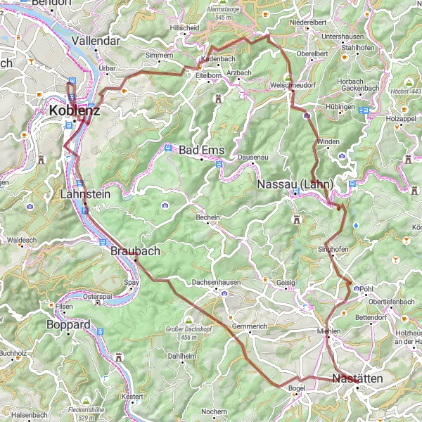
This challenging gravel route takes you on a journey through the picturesque landscapes surrounding Nastätten and Koblenz. With a total distance of 92 kilometers and an ascent of 1434 meters, this route is perfect for experienced riders looking for an epic adventure. Prepare to be amazed by the stunning views, historical landmarks, and charming villages along the way.
gravel
92 km
1434 m
Tough
Route profile
Highlights on the route
0 km
0 km
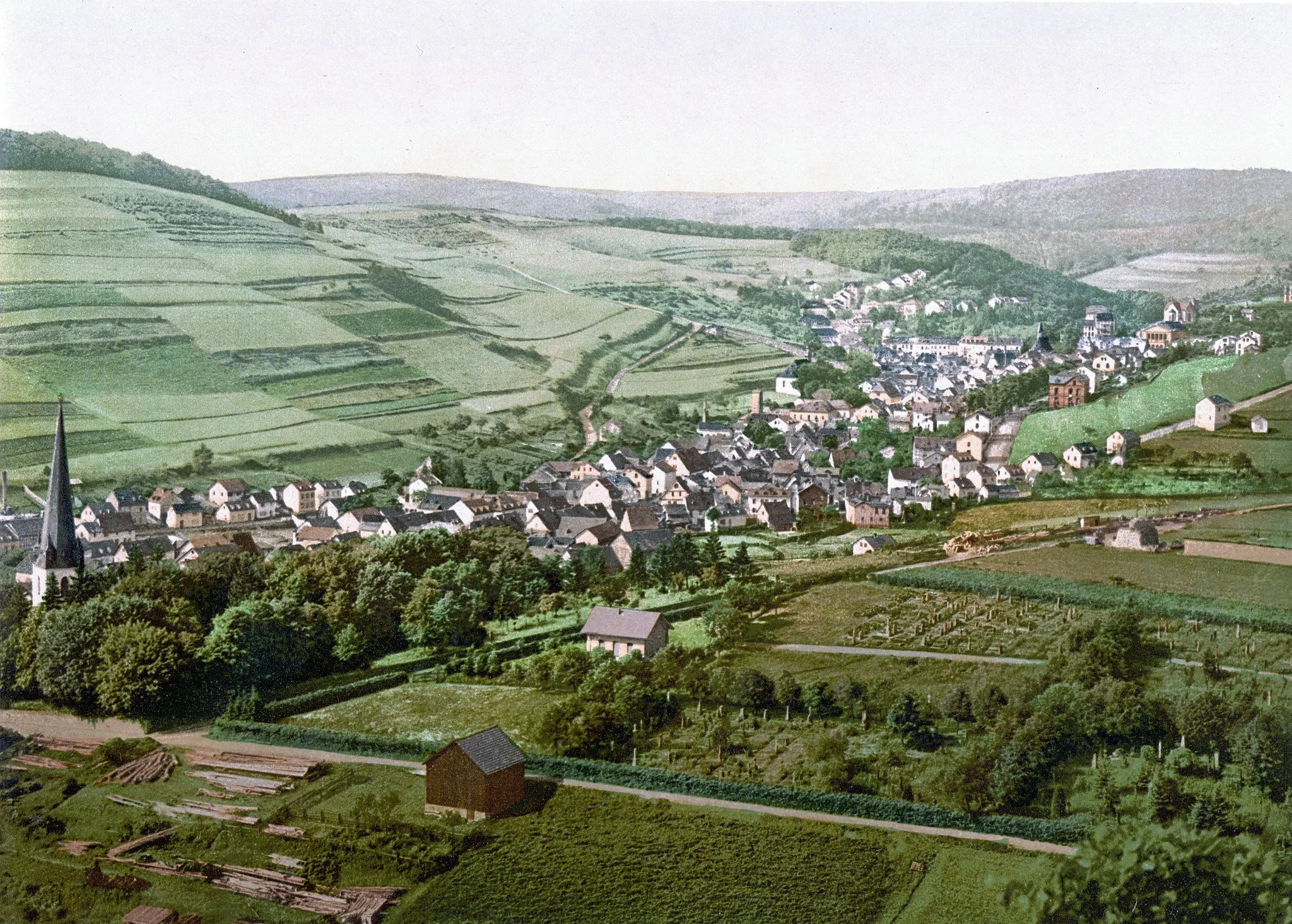
Start: Nastätten City centerNastätten: Experience the scenic beauty of Nastätten in Koblenz, Germany while enjoying a variety of cycling routes and exploring the historic Deutsches Eck.
Nastätten, located in the region of Koblenz in Germany, offers a diverse range of cycling opportunities for road and gravel cyclists. With its rolling hills and picturesque landscapes, cyclists can expect enjoyable rides through quaint villages and lush forests. The locality is also famous for the Deutsches Eck, a historic monument at the confluence of the Moselle and Rhine rivers. Cyclists can combine their cycling adventures with visits to this iconic site. Furthermore, Nastätten is within proximity to several challenging climbs, including the Taunus Mountains, providing an added thrill for advanced cyclists seeking a demanding ride.3 km
3 km
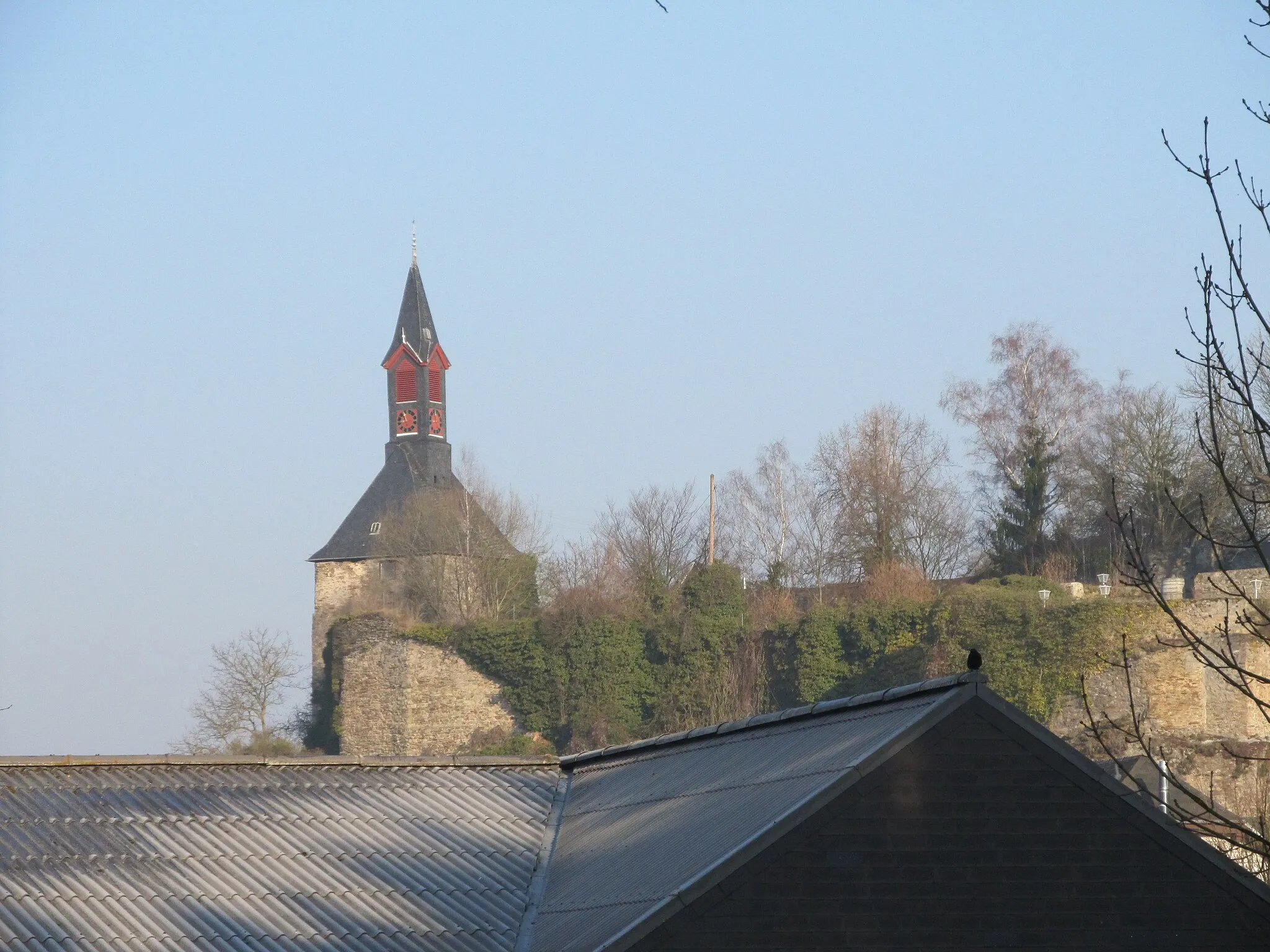
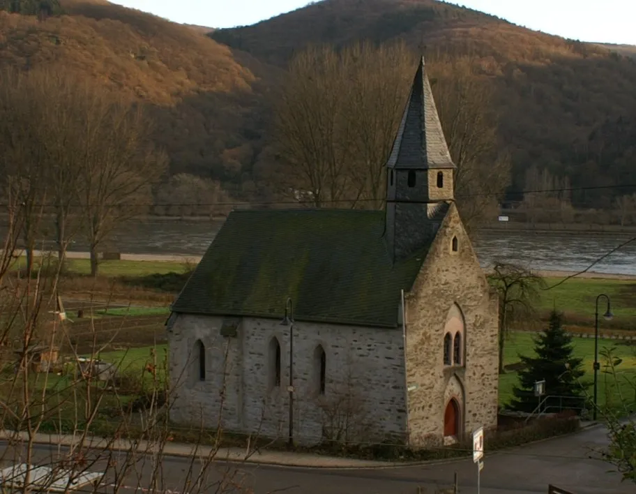
Schänzchen359 mPeakLocated near Schänzchen, a hilltop fortification, enjoy breathtaking panoramic views of the surrounding countryside.
22 km
22 km
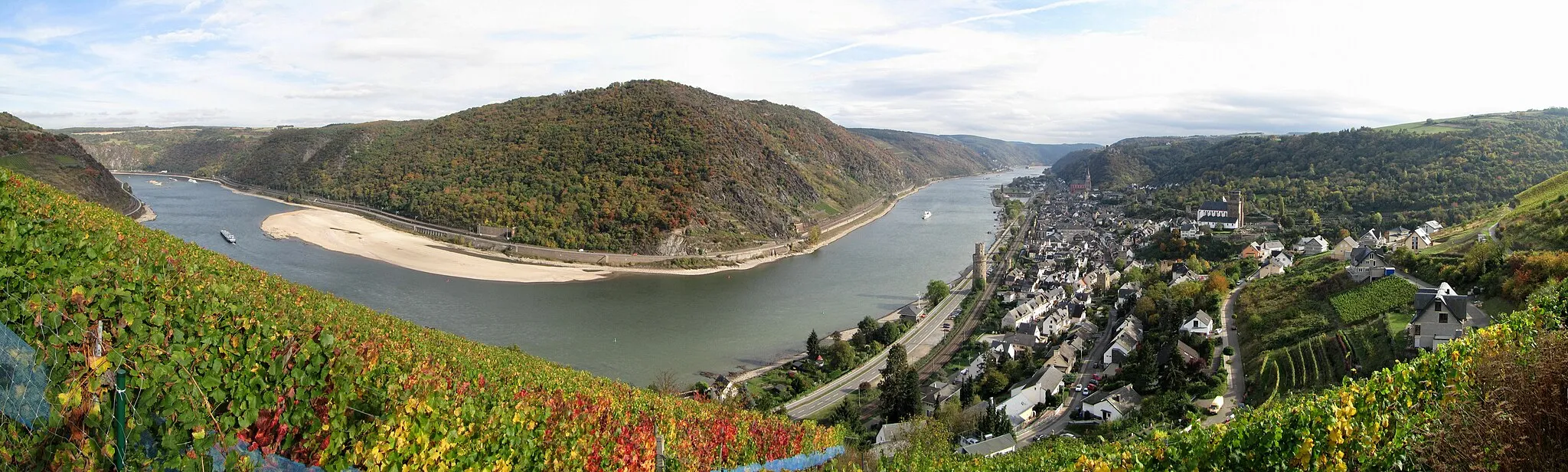
KoppelsteinViewpointPrepare for a challenging ascent up Koppelstein, a steep but rewarding climb with stunning vistas.
26 km
26 km
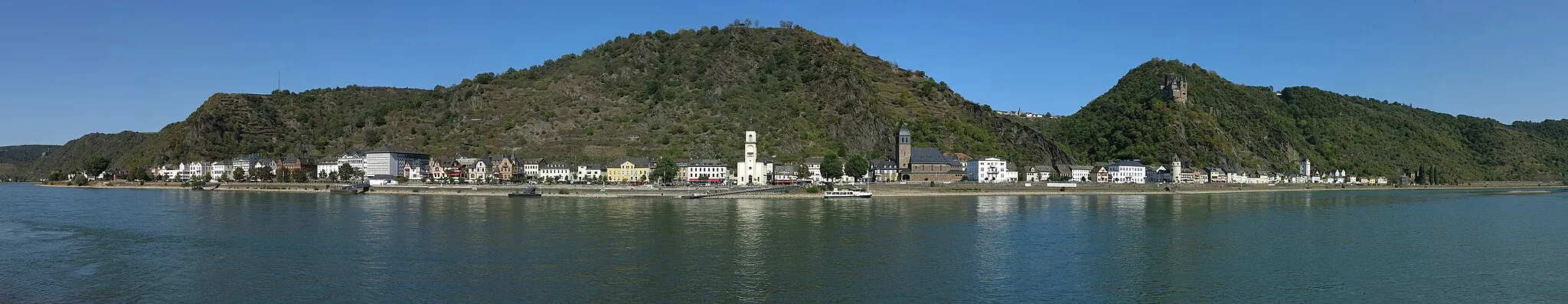
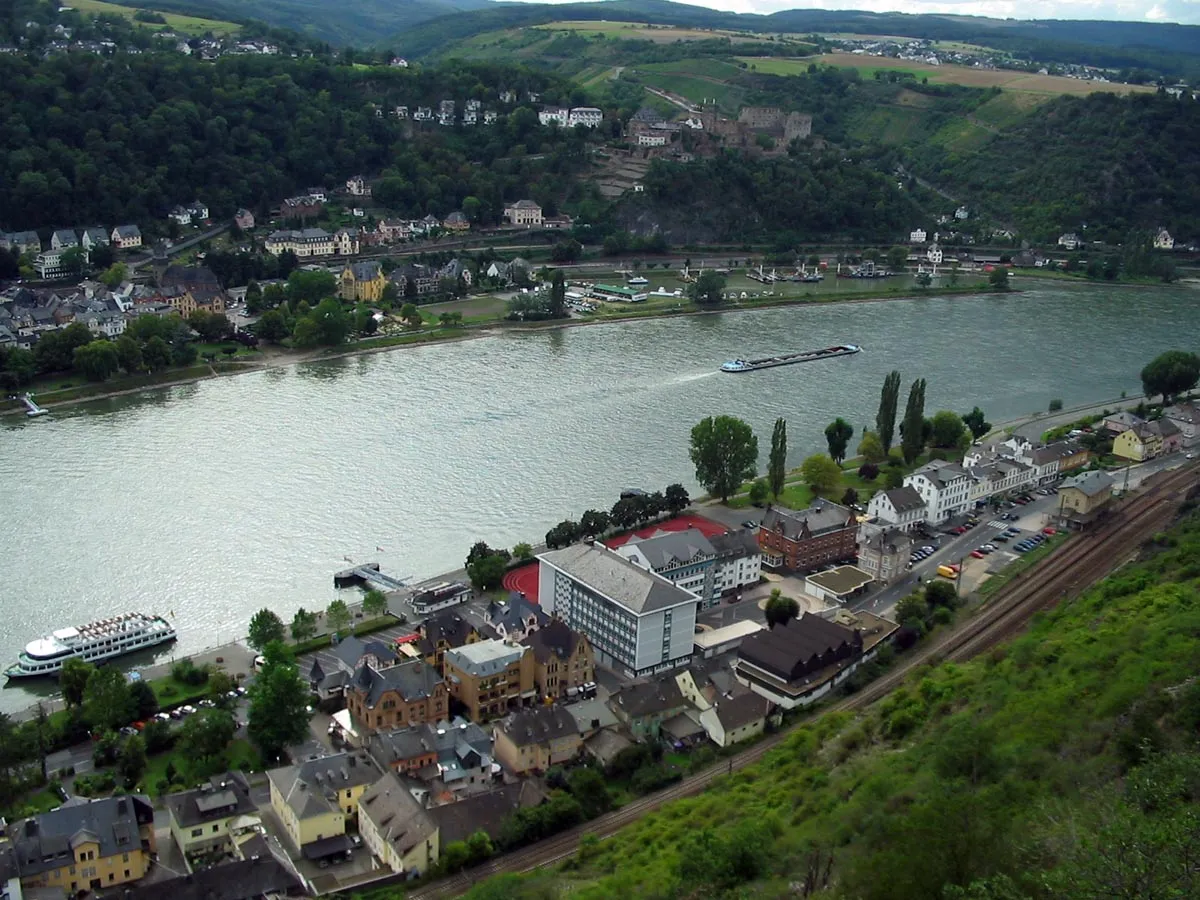
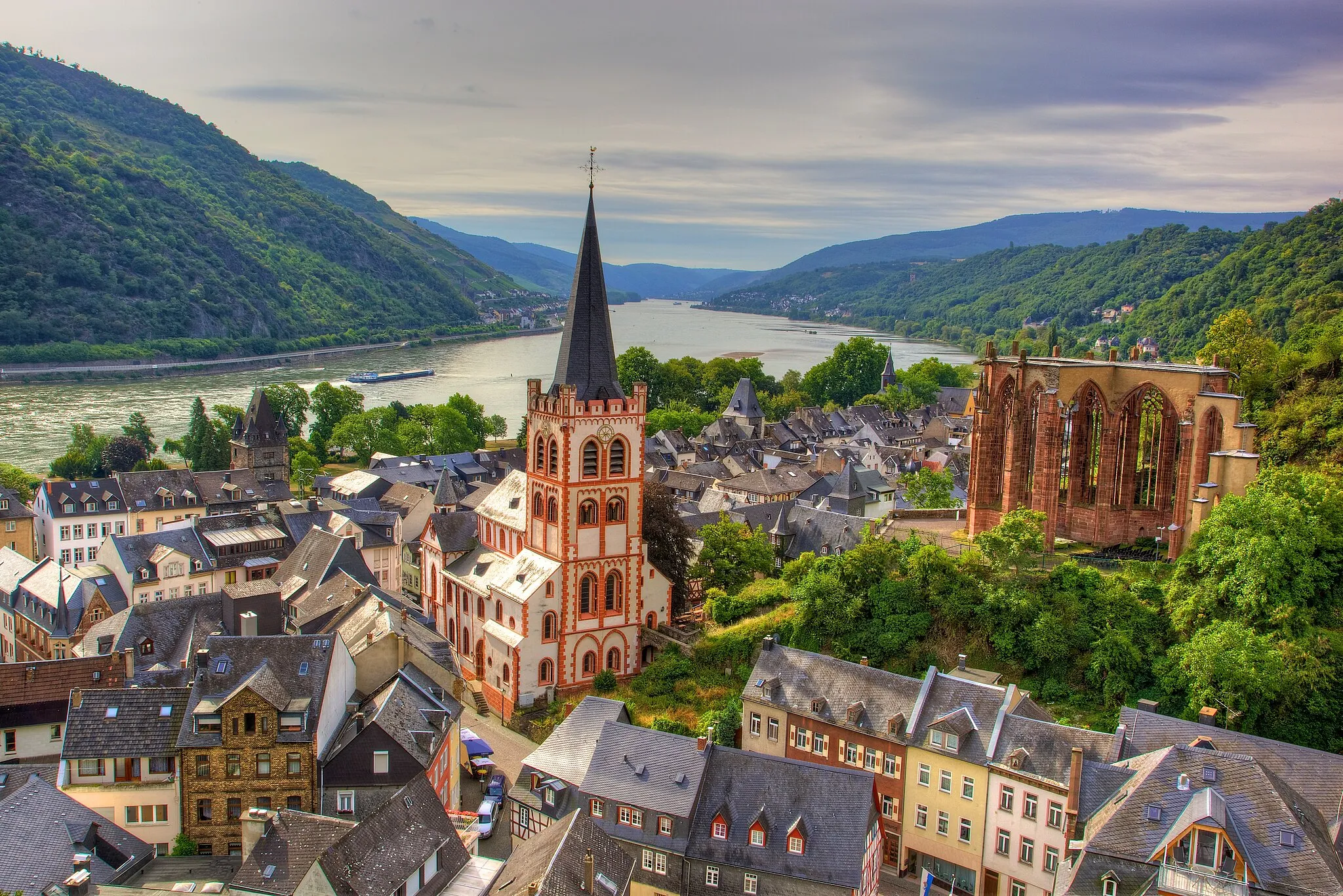
LahnsteinTownPass through the historic town of Lahnstein and marvel at its impressive architecture and quaint streets.
33 km
33 km
Deutsches EckViewpointMake sure to stop at Deutsches Eck, the famous monument where the Moselle and Rhine Rivers meet.
39 km
39 km
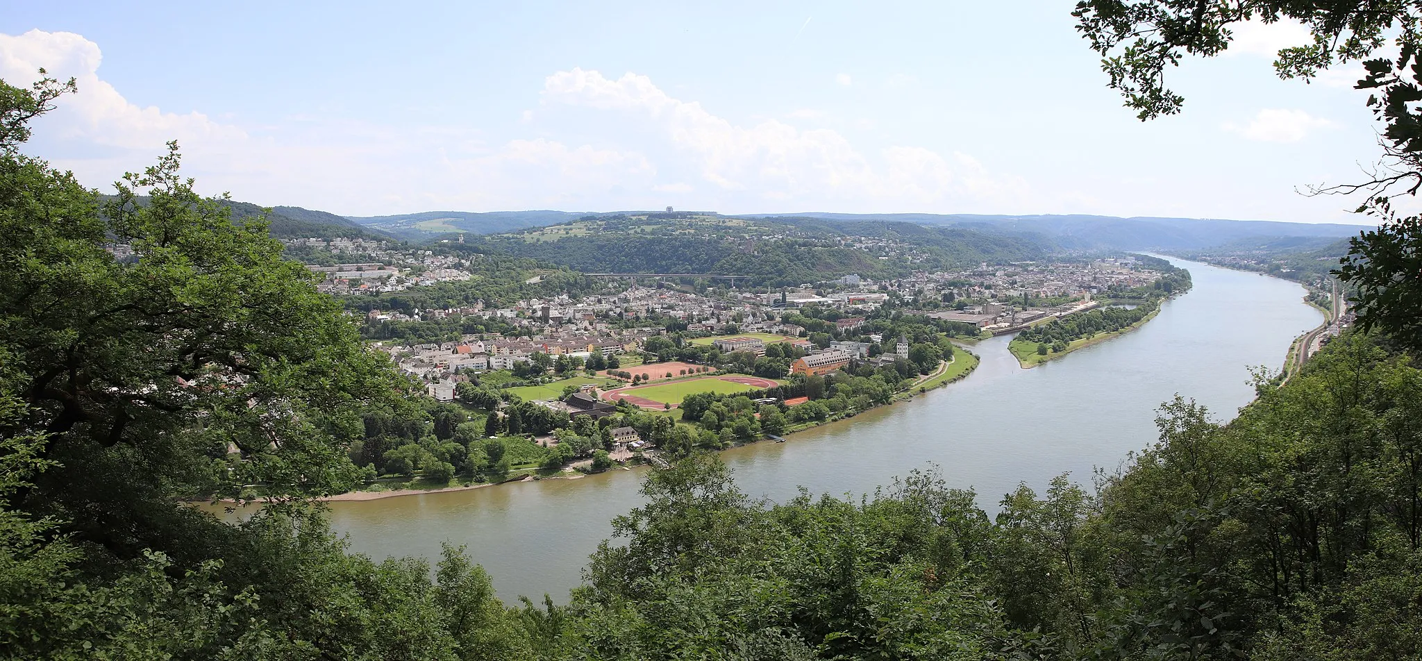
KoblenzCityExplore Koblenz, a city filled with rich history and charm. Don't miss the Schloss Koblenz, one of the city's most iconic landmarks.
51 km
51 km
NeuhäuselVillageDiscover the peaceful village of Neuhäusel and enjoy a refreshing break at one of its cozy cafes.
54 km
54 km
Steinrausch383 mPeakSteinrausch, a small mountain village, offers stunning views of the surrounding hills and valleys.
63 km
63 km
WelschneudorfVillagePass through Welschneudorf and admire the traditional half-timbered houses that dot the village.
74 km
74 km
Lai109 mPeakLai, a charming rural area, provides a serene setting surrounded by lush green fields.
90 km
90 km
Dornberg269 mPeak92 km
92 km
NastättenTown92 km
92 km
Finish: Nastätten City centerNastätten: Experience the scenic beauty of Nastätten in Koblenz, Germany while enjoying a variety of cycling routes and exploring the historic Deutsches Eck.
Cycling routes nearby: