Gravel Adventure 2
A gravel cycling route starting from Niederelbert
Uncover off-the-beaten-path treasures on this gravel cycling route
Map
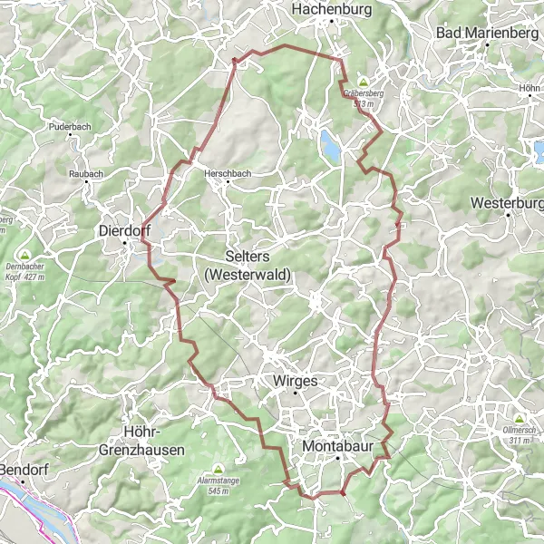
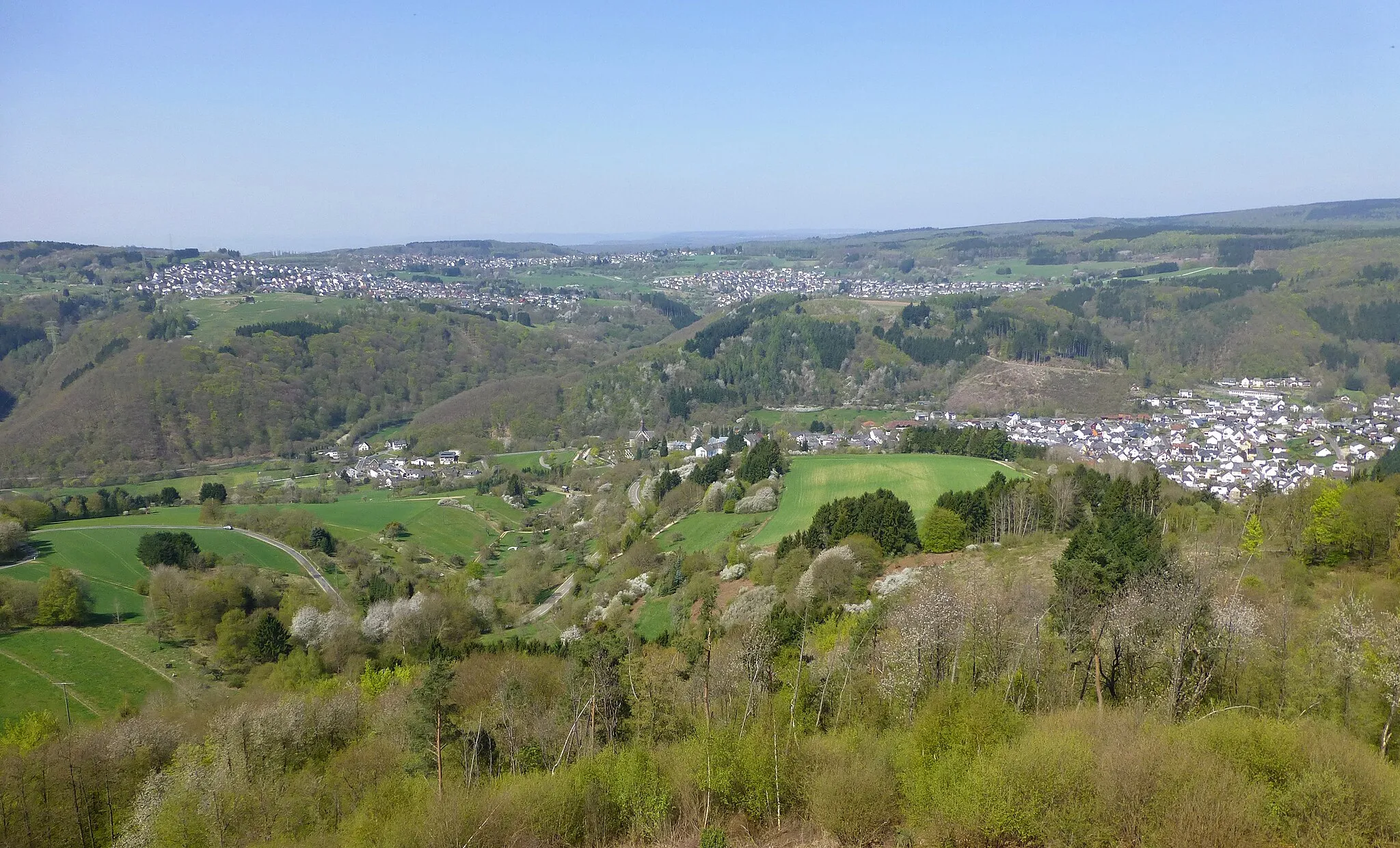
This route is perfect for gravel enthusiasts looking to explore lesser-known areas. With a total ascent of 1,186 meters, it offers a mix of nature and cultural heritage. The route takes riders through Hähnchen, Ransbach-Baumbach, Deesen, Freirachdorf, Ersberg, Gehlert, Großer Weißenstein, Küppel, Boden, Wirzenborn, and Kahleberg. Along the way, cyclists can discover hidden gems, such as charming villages, historic sites, and scenic viewpoints.
gravel
84 km
1186 m
Tough
Route profile
Highlights on the route
0 km
0 km
Start: Holler Village centerNiederelbert: Quiet countryside cycling in Niederelbert, Germany
Niederelbert is a small locality in Koblenz, Germany. From a cyclist's perspective, the area offers a mix of flat roads and some hilly terrain, making it suitable for both beginners and experienced riders. The peaceful countryside scenery and well-paved roads make it a pleasant cycling destination. There are no famous climbs or iconic cycling spots nearby, but the area is dotted with charming villages and scenic viewpoints. Overall, Niederelbert is a decent location for road and gravel cyclists, offering a variety of routes to explore.1 km
1 km
Hähnchen353 mPeakHähnchen is known for its stunning views and is a popular photography spot.
13 km
13 km
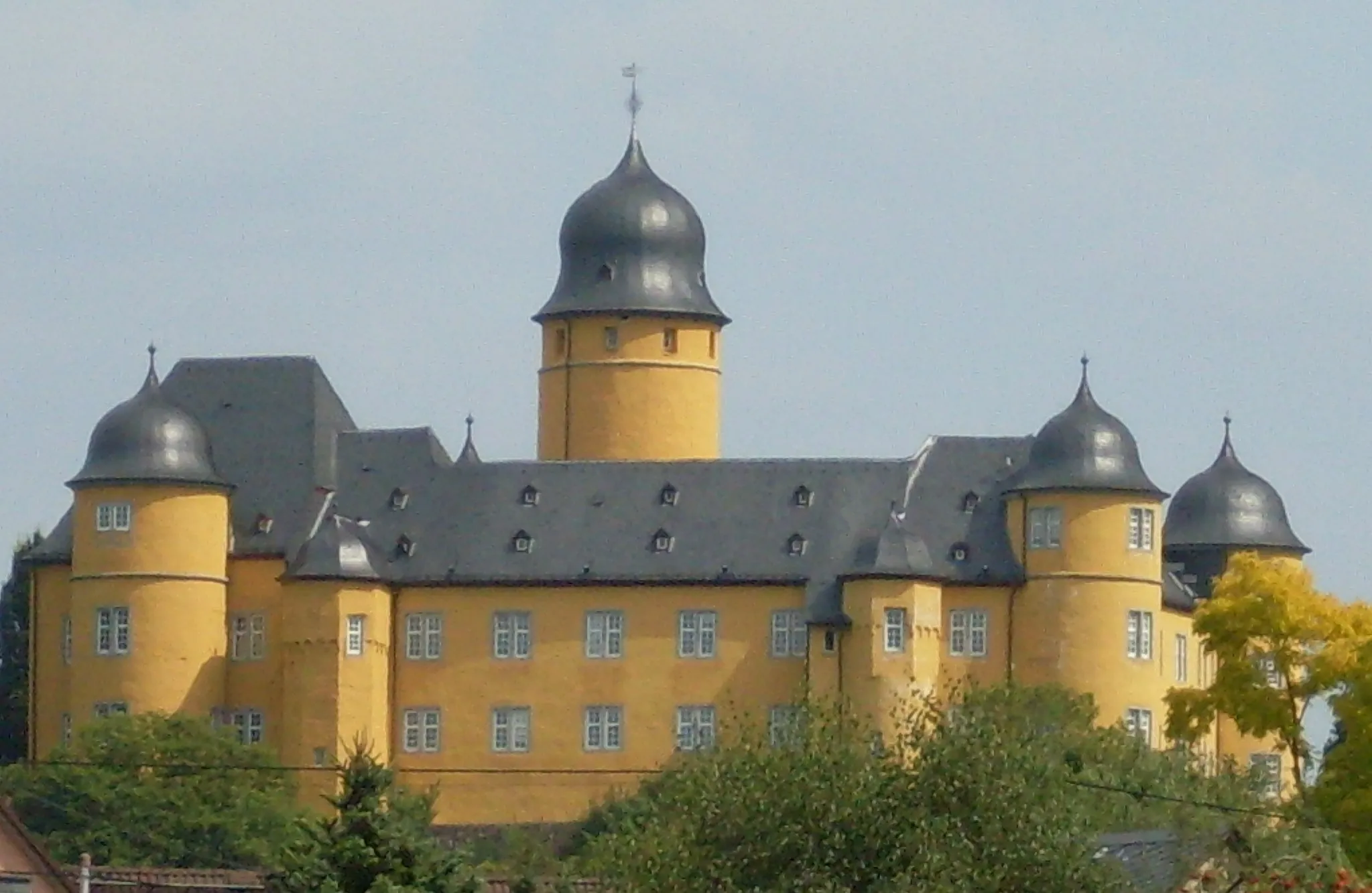
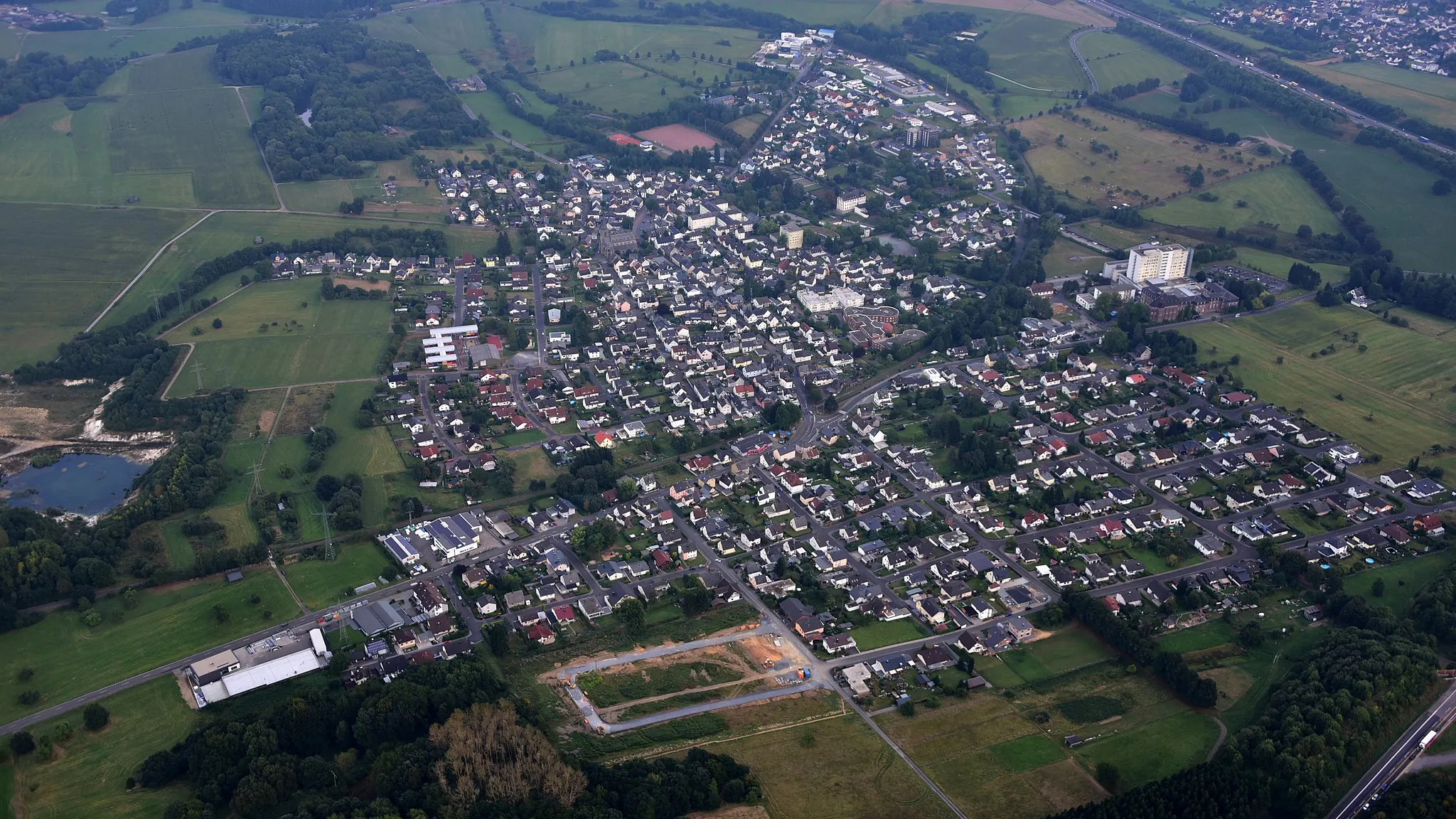
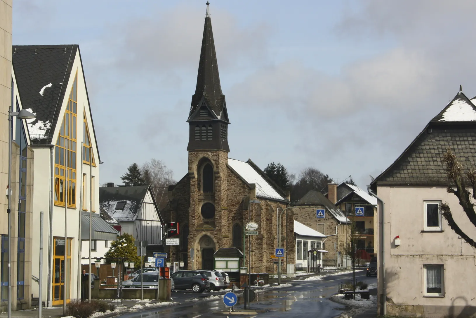
Ransbach-BaumbachTownRansbach-Baumbach is a picturesque pottery town with a rich cultural heritage.
20 km
20 km
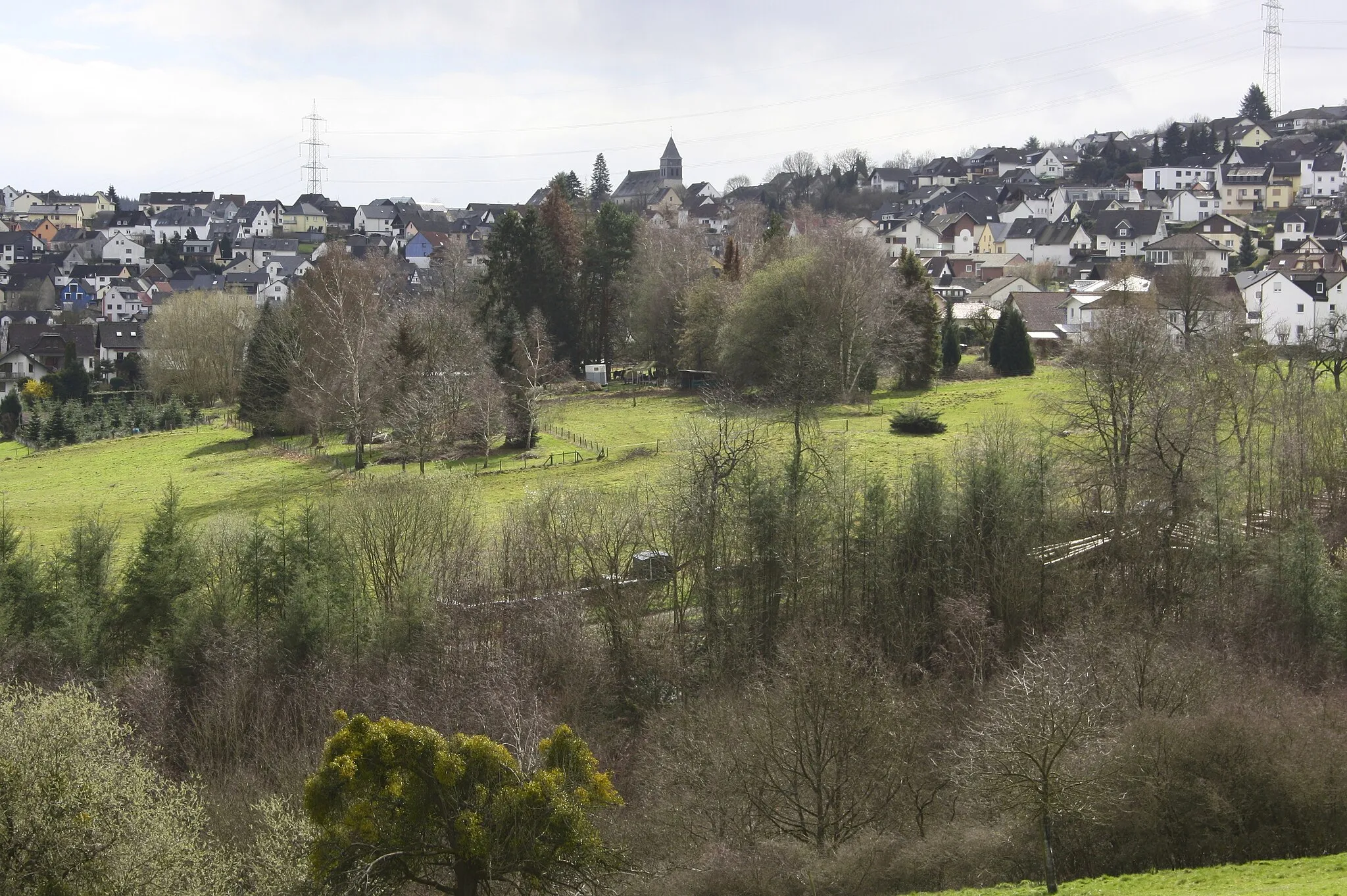
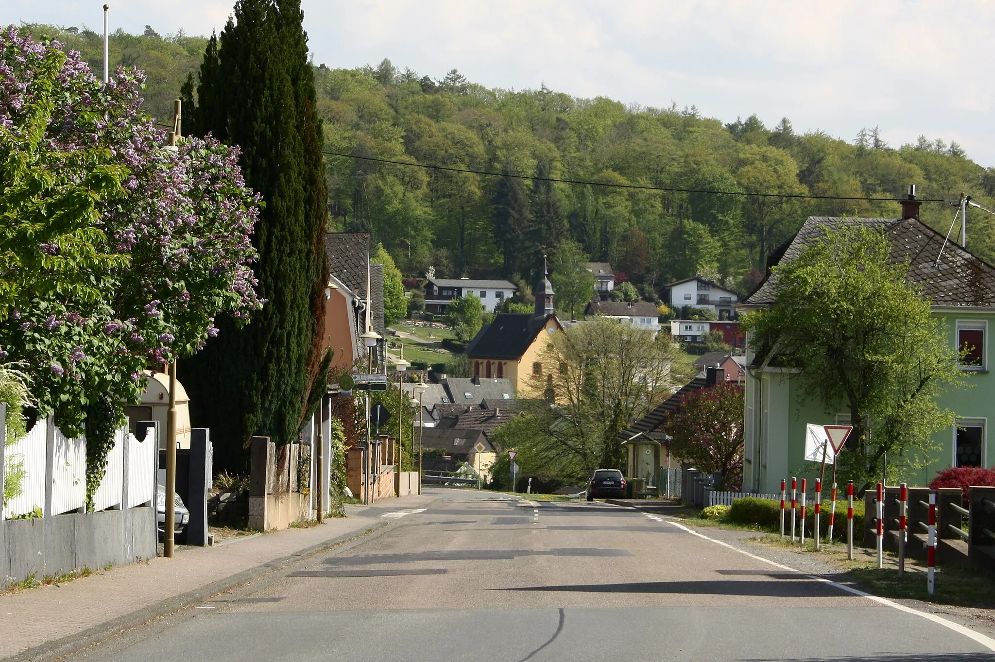
DeesenVillageDeesen is a small village with well-preserved half-timbered houses.
32 km
32 km
FreirachdorfVillageFreirachdorf is a peaceful village surrounded by idyllic landscapes.
38 km
38 km
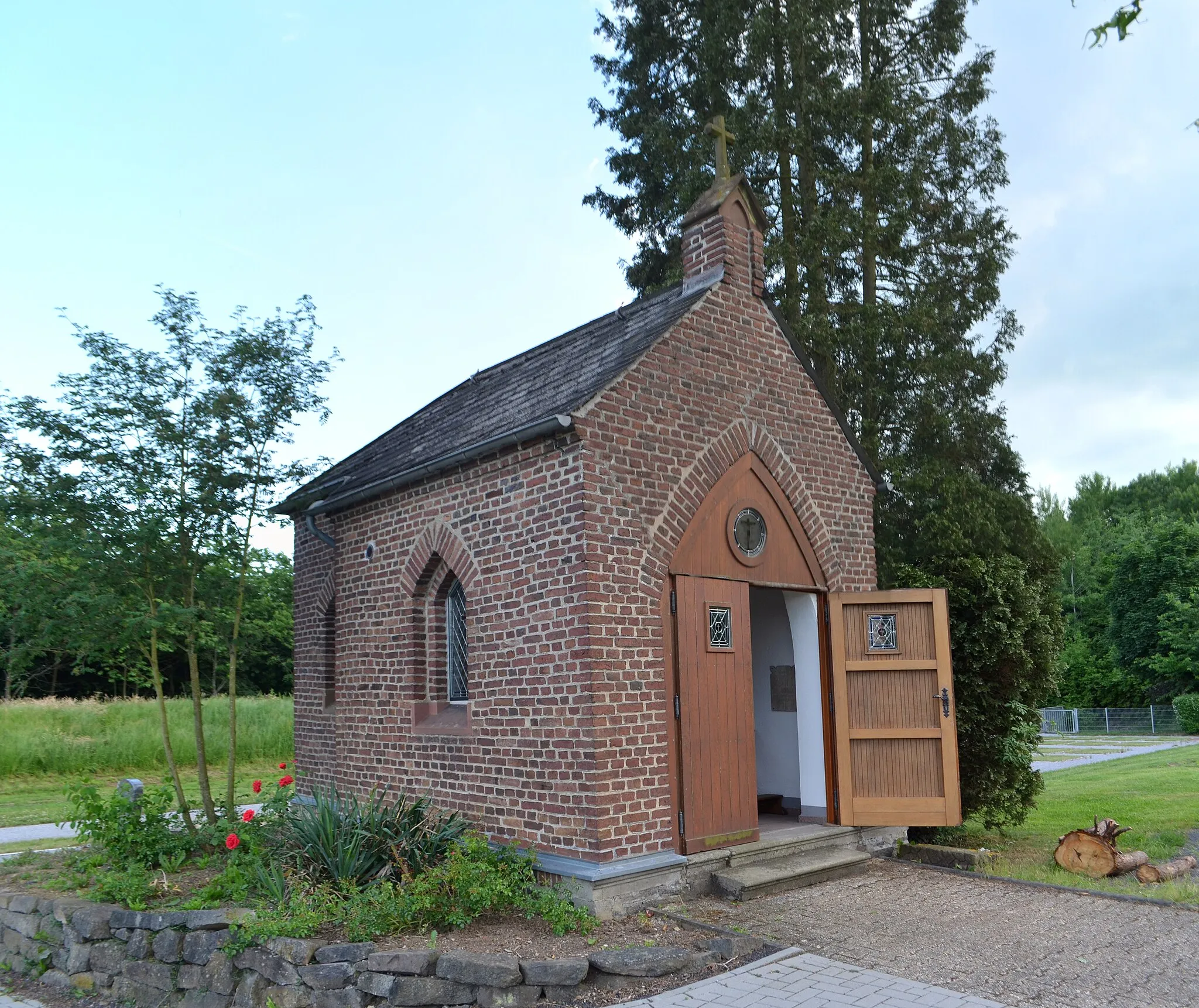
Ersberg351 mPeakErsberg is an old mining settlement with intriguing historical remnants.
46 km
46 km
GehlertVillageGehlert is a traditional village showcasing the region's architectural charm.
50 km
50 km
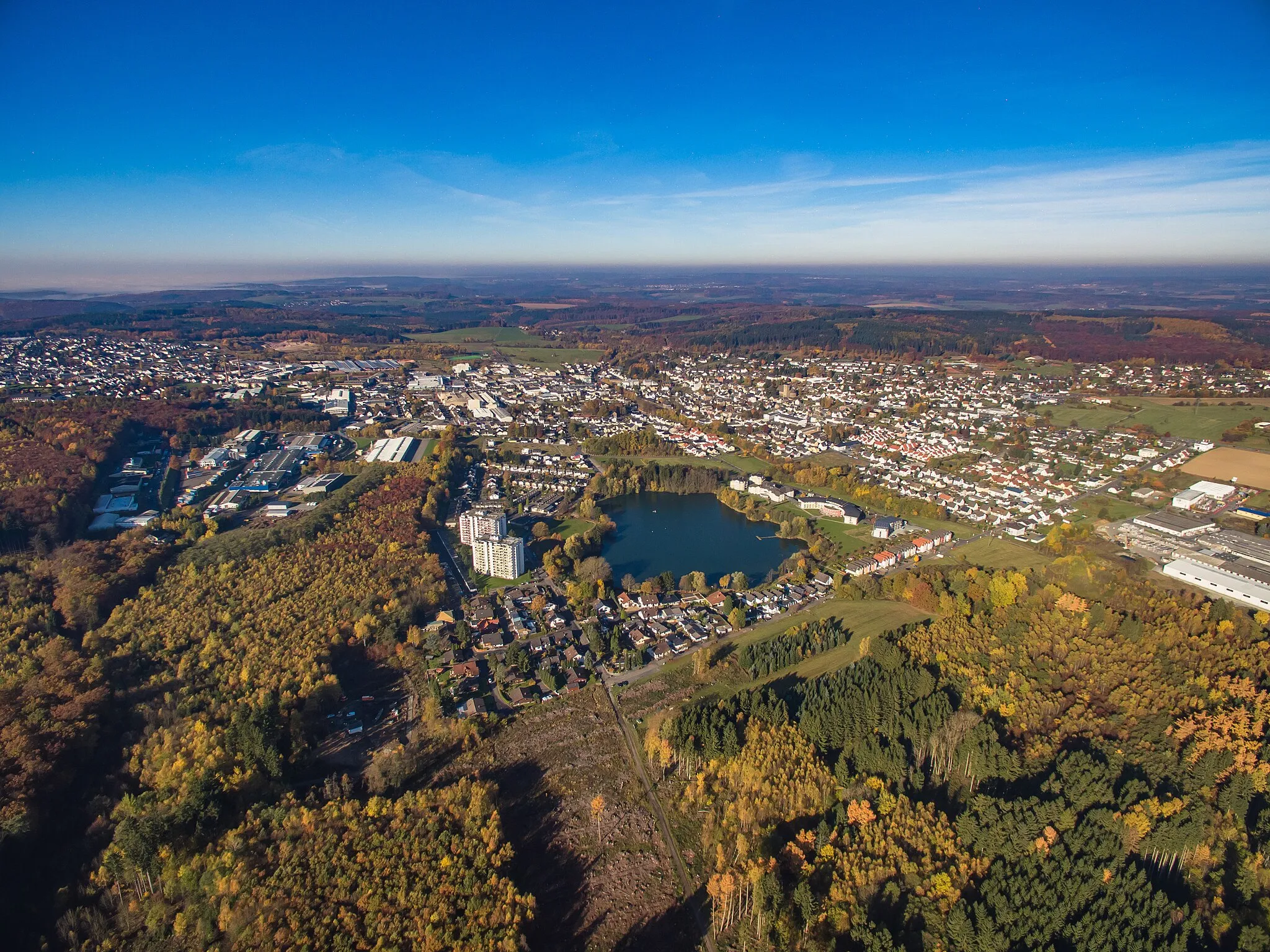
Großer Weißenstein509 mPeakGroßer Weißenstein is a prominent hill providing panoramic views of the surrounding area.
66 km
66 km
Küppel454 mPeakKüppel is a quaint village offering tranquility and unique cultural experiences.
72 km
72 km
BodenVillageBoden is a charming hamlet with a lookout point offering sweeping vistas.
80 km
80 km
WirzenbornSub-urbWirzenborn is a hidden gem boasting natural beauty and quiet surroundings.
80 km
80 km
Kahleberg288 mPeakKahleberg is a hiker's paradise, characterized by rolling hills and lush forests.
84 km
84 km
Finish: Holler Village centerNiederelbert: Quiet countryside cycling in Niederelbert, Germany
Cycling routes nearby: