Hunsrück Gravel Trail
A gravel cycling route starting from Sankt Goar
Venture through the stunning Hunsrück region on a thrilling gravel ride
Map

Explore the picturesque countryside of Hunsrück on this challenging gravel trail. With a total ascent of 1017 meters, the 49-kilometer route takes you through some of the most beautiful landscapes in Germany. From the historic Alexanderplatz in Sankt Goar to the breathtaking Rheinblick, this route promises unforgettable views and a satisfying adventure.
gravel
49 km
1017 m
Tough
Route profile
Highlights on the route
0 km
0 km
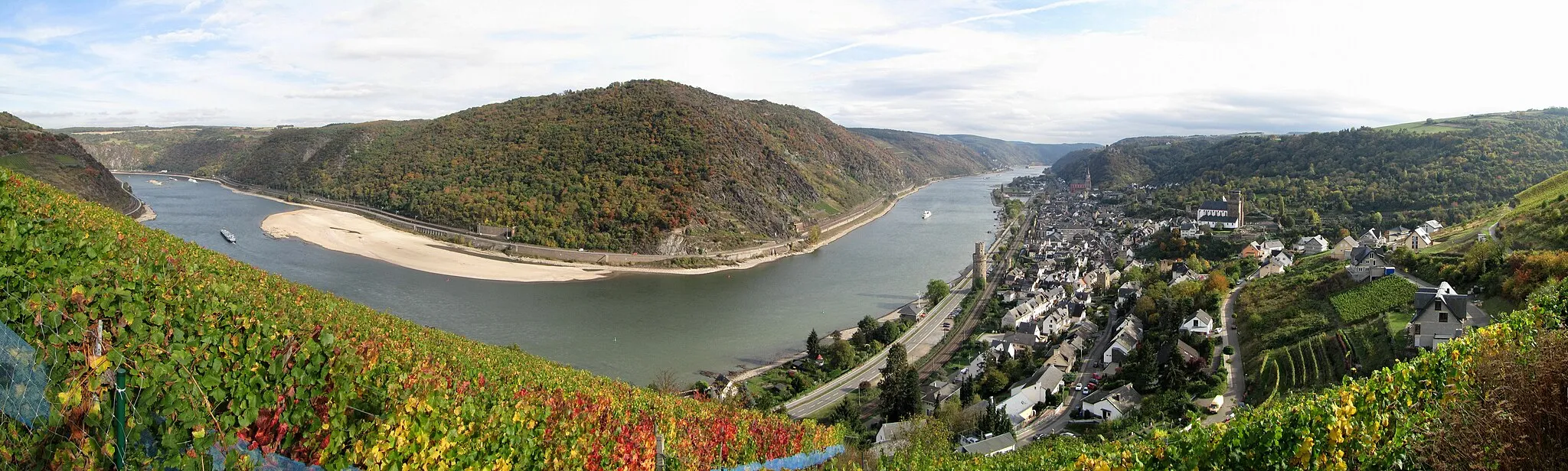
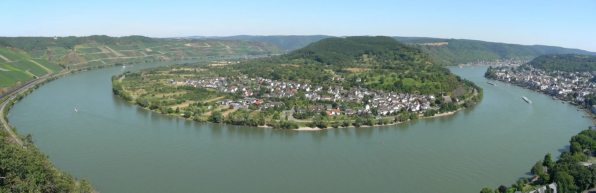
Start: Sankt Goar City centerSankt Goar: Scenic Cycling Routes in Koblenz
Sankt Goar, located in Koblenz, Germany, is a popular destination for road and gravel cyclists. With its idyllic landscapes along the Rhine River and challenging routes in the surrounding countryside, Sankt Goar offers a diverse range of cycling opportunities. Cyclists can enjoy riding through vineyards, exploring historic castles, and taking in breathtaking views of the Rhine Valley. One of the most famous cycling-related spots in the area is the Lorelei rock, which provides stunning panoramic views. With its cycling-friendly infrastructure and proximity to popular cycling routes, Sankt Goar is a must-visit for any cyclist.1 km
1 km
AlexanderplatzViewpoint9 km
9 km
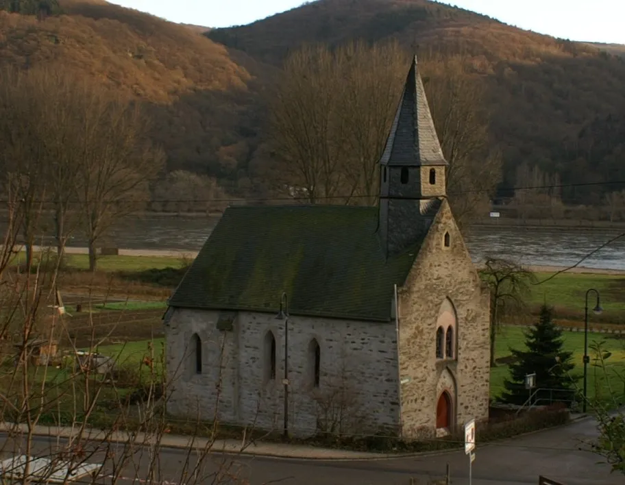
BadenhardVillageDiscover the charming village of Badenhard nestled in the heart of the Hunsrück region.
15 km
15 km
DörthVillage22 km
22 km
Götzekopf488 mPeak30 km
30 km
KratzenburgVillageMarvel at the ruins of Kratzenburg Castle, located at a strategic point overlooking the Rhine Valley.
33 km
33 km
1 S-Kurve HunsrückhöheViewpointTake on the challenge of the famous 1 S-Kurve Hunsrückhöhe and experience breathtaking views.
42 km
42 km
UtzenhainVillagePass through the quaint village of Utzenhain, known for its traditional timber-framed houses.
43 km
43 km
Eichenberg430 mPeakClimb to the top of Eichenberg and enjoy panoramic views of the surrounding countryside.
49 km
49 km
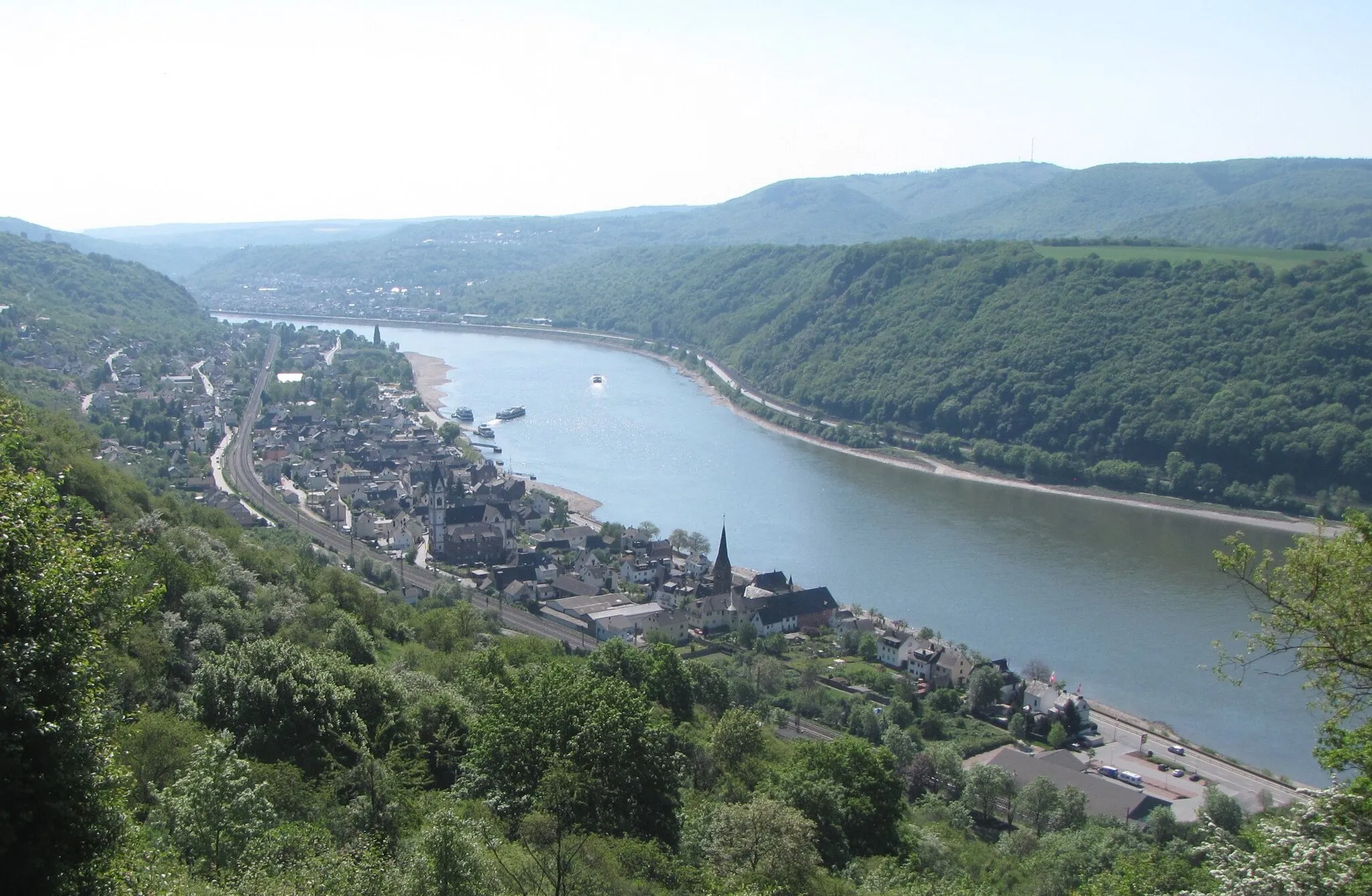
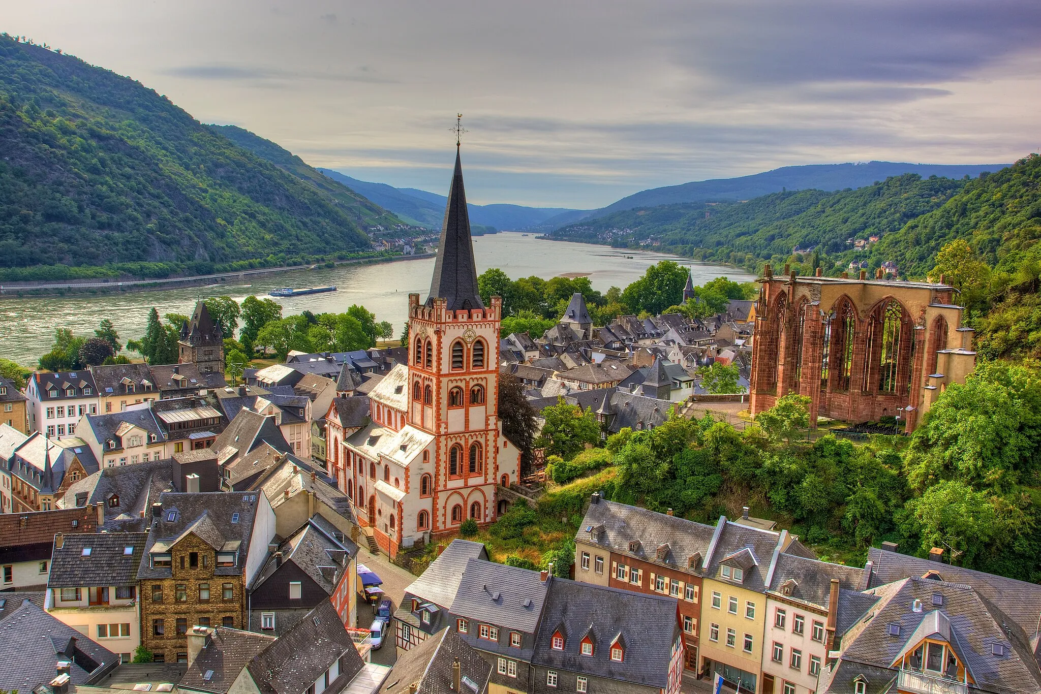
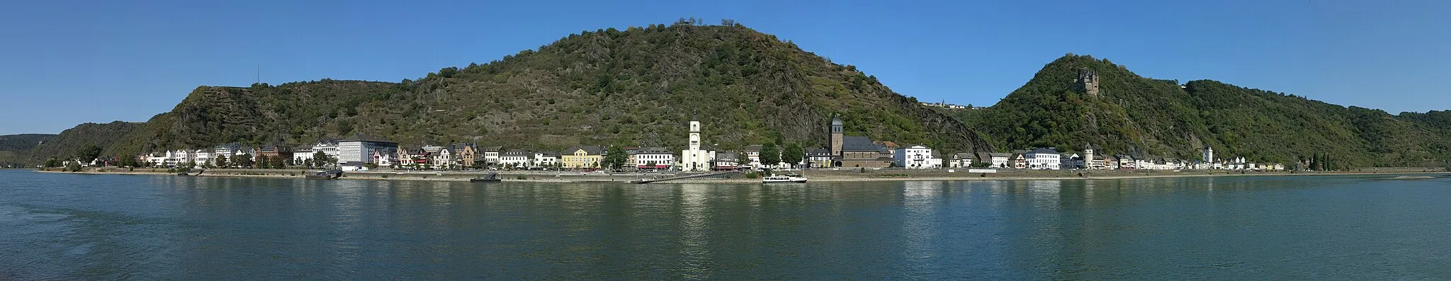
Sankt GoarshausenTownExperience the beauty of Sankt Goarshausen, a charming town nestled on the banks of the Rhine River.
49 km
49 km
RheinblickViewpointEnjoy a stunning view of the Rhine River from the top of Rheinblick, a must-see spot for any cyclist.
49 km
49 km
Finish: Sankt Goar City centerSankt Goar: Scenic Cycling Routes in Koblenz
Cycling routes from Sankt Goar:
Cycling routes nearby: