The Gravel Explorer
A gravel cycling route starting from Simmertal
Embark on a scenic gravel adventure with challenging climbs and beautiful landscapes.
Map
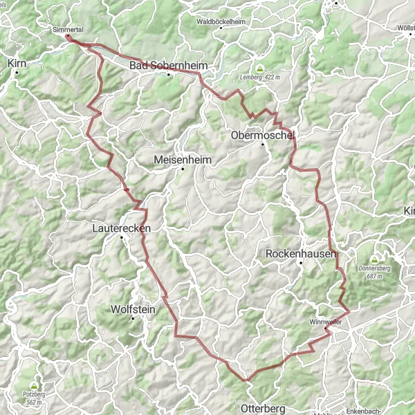
Venture off the beaten path and experience the rugged beauty of Simmertal on this gravel cycling route. With a total ascent of 2096m and a distance of 116km, this challenging route is perfect for experienced gravel riders. Highlights include Martinstein, Bad Sobernheim, Seelberg, Niedermoschel, Bickberg, Imsbach, Bauhübel, Schneckenhausen, Hohenöllen, Limbacher Höhe, and Hochstädten.
gravel
116 km
2096 m
Tough
Route profile
Highlights on the route
0 km
0 km
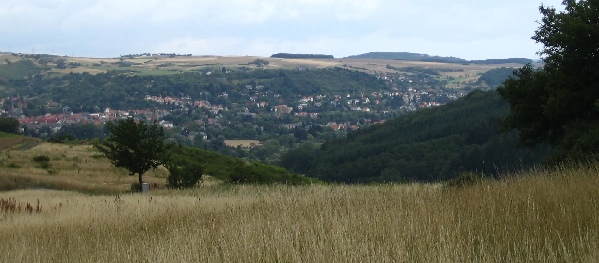
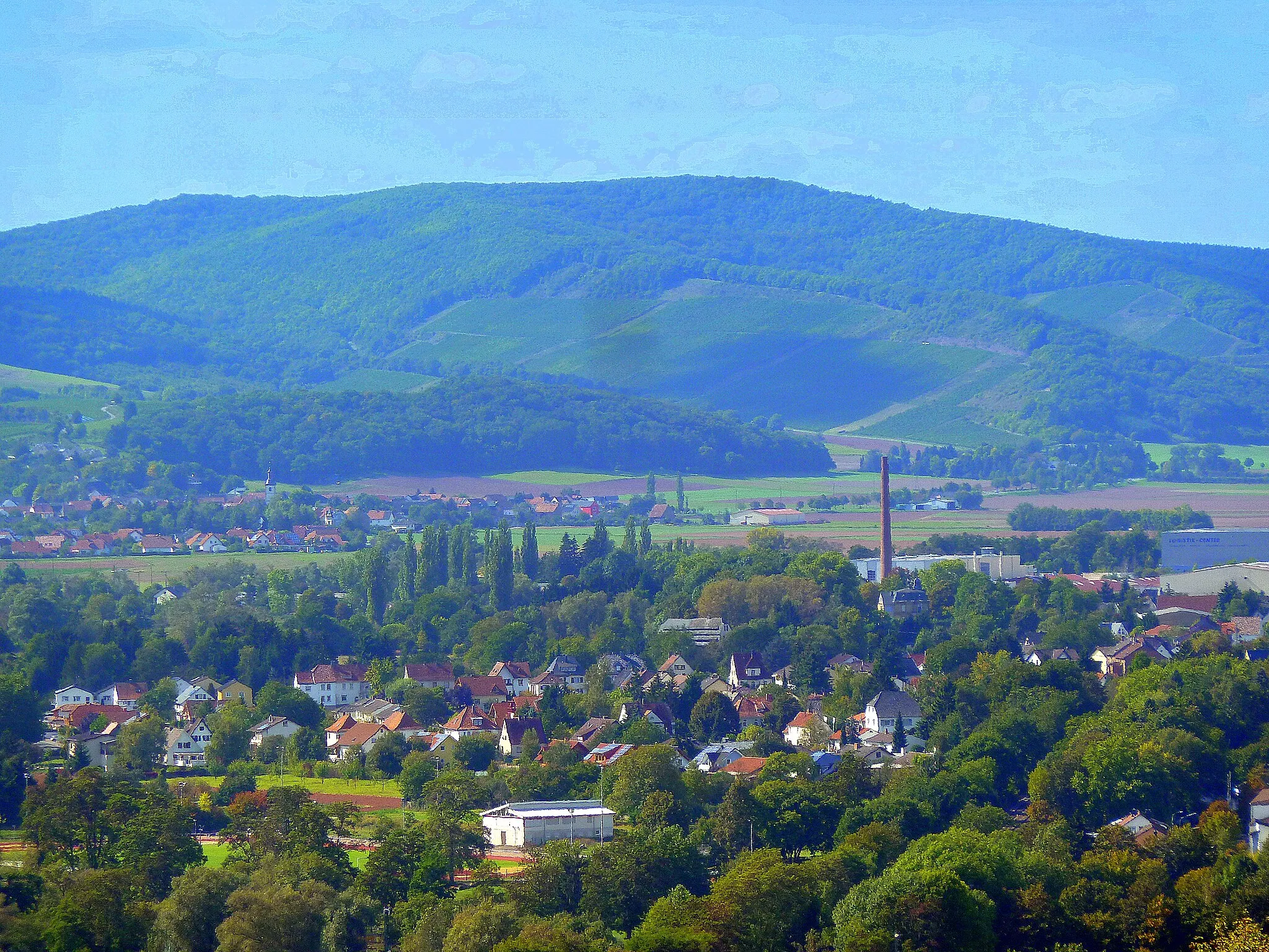
Start: Simmertal Village centerSimmertal: Serene countryside location with peaceful cycling routes.
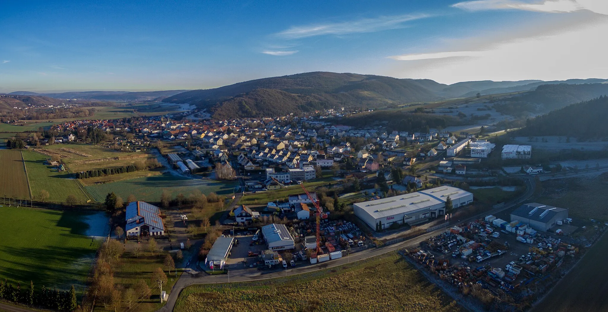
Simmertal is a locality situated in Koblenz, Germany. It offers a selection of medium-distance cycling routes that are suitable for road and gravel cyclists. The area is known for its scenic countryside landscapes, dense forests, and peaceful surroundings, providing cyclists with a serene riding experience. While not prominently known for its abundance of iconic cycling locations, the peaceful environment and charming views make Simmertal a pleasant cycling destination.1 km
1 km
MartinsteinVillage ViewpointDon't miss the charming village of Martinstein, known for its hospitality and local charm.
10 km
10 km
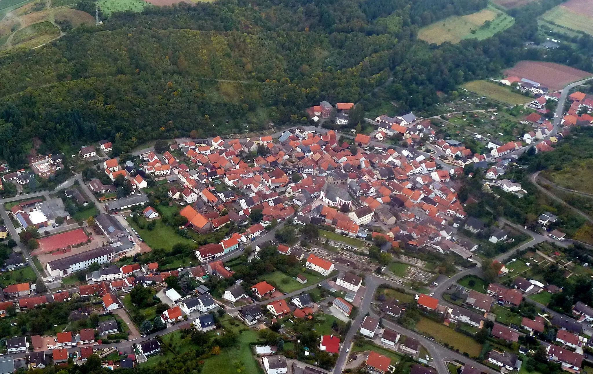
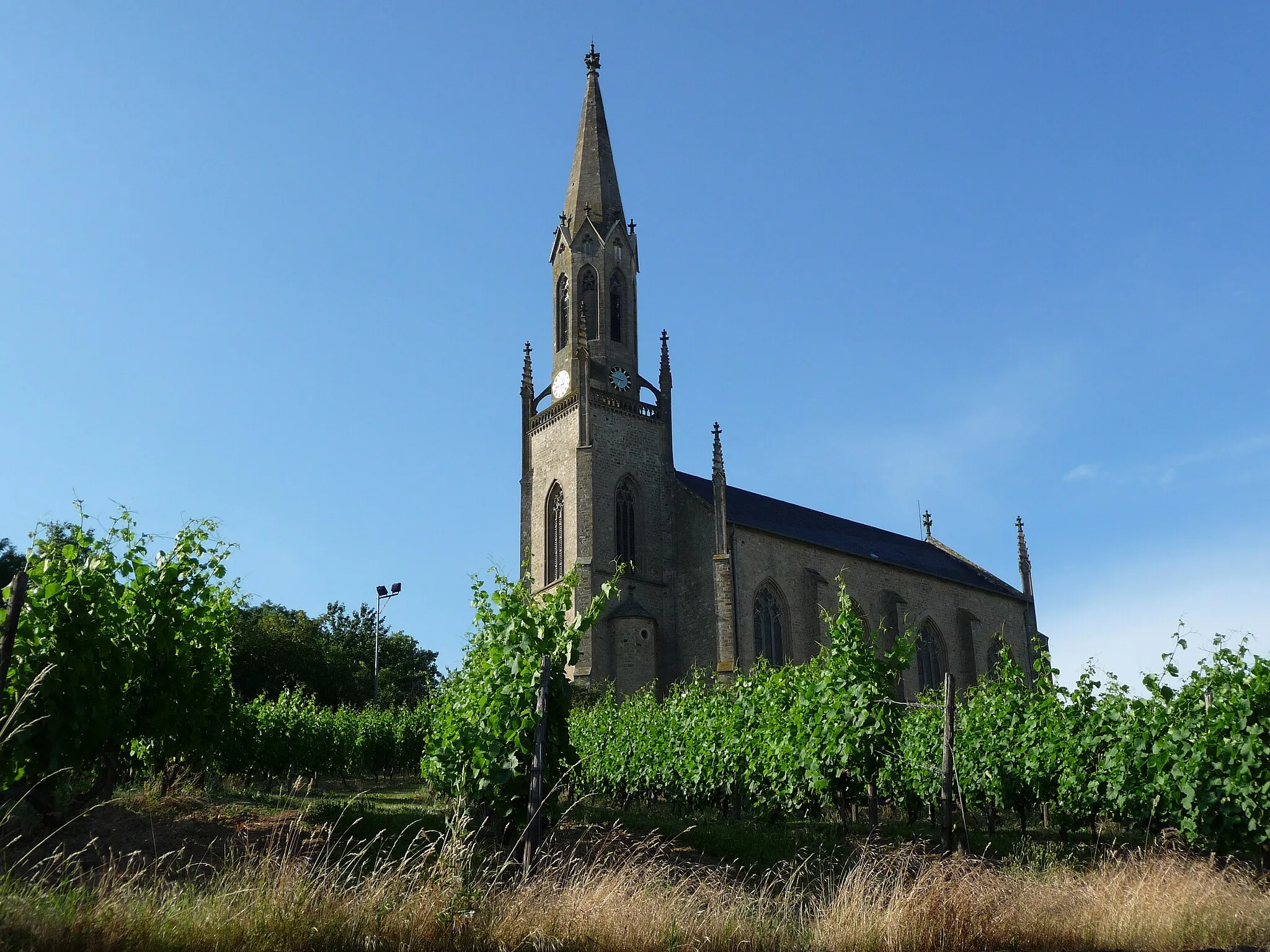
Bad SobernheimTownDiscover the healing powers of Bad Sobernheim and its tranquil surroundings.
27 km
27 km
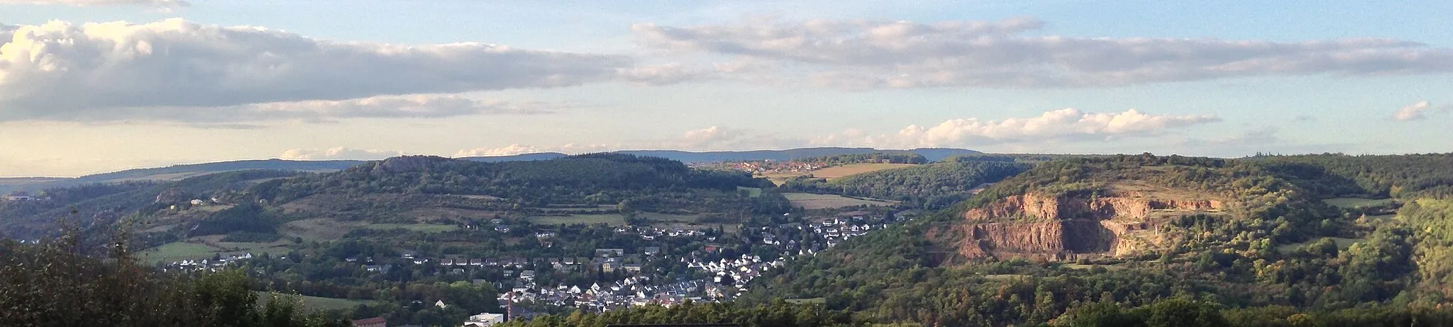
Seelberg306 mPeakBike up the scenic Seelberg and revel in the stunning views of the Nahetal Valley.
28 km
28 km
NiedermoschelVillageExplore Niedermoschel, a hidden gem surrounded by picturesque landscapes and traditional architecture.
49 km
49 km
Bickberg559 mPeakClimb up Bickberg and enjoy breathtaking views of the rolling hills and valleys.
52 km
52 km
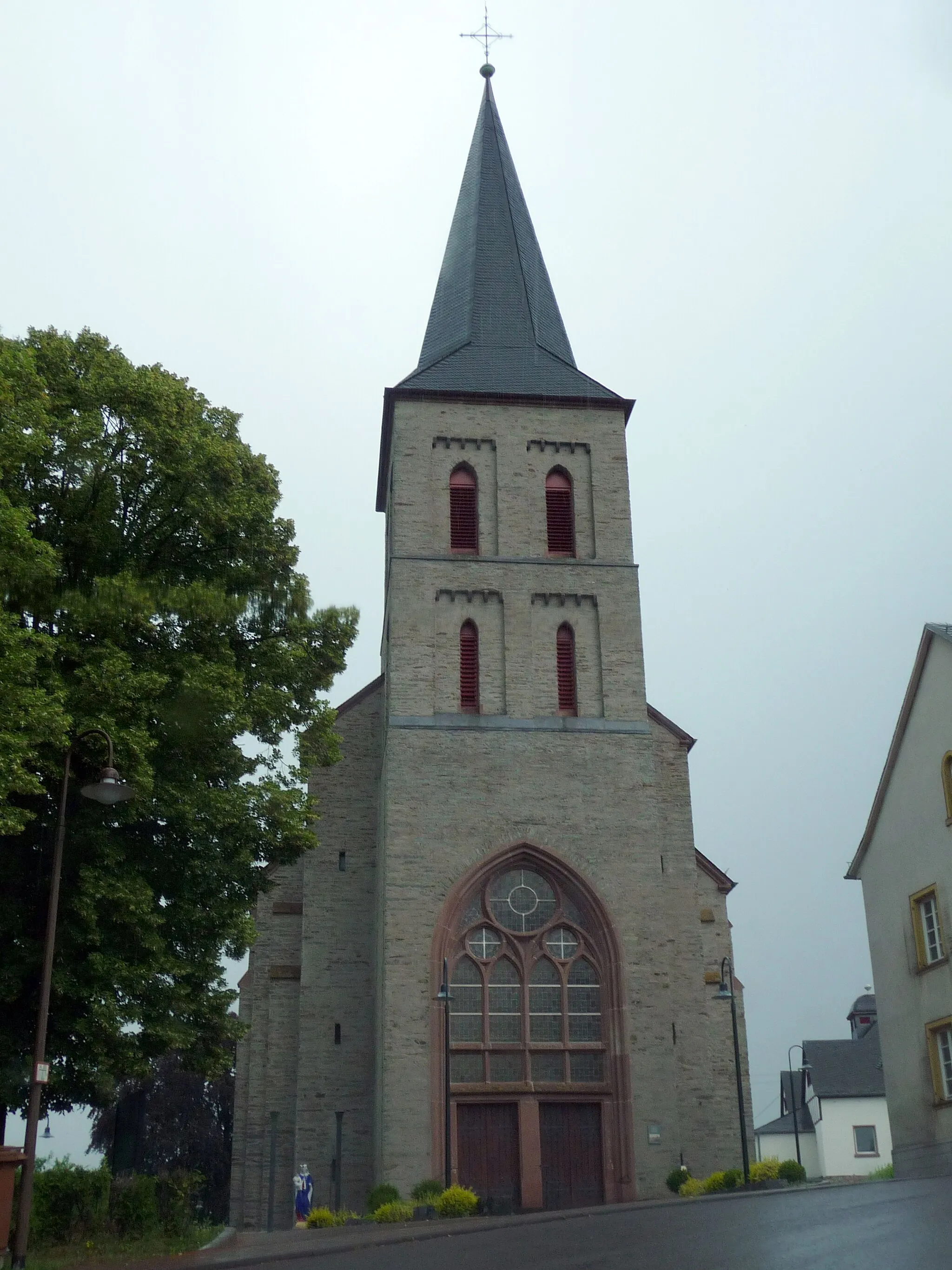
ImsbachVillageImsbach is a must-visit, with its charming timber-framed houses and peaceful atmosphere.
67 km
67 km
Bauhübel357 mPeakExperience the beauty of Bauhübel, a tranquil natural reserve with unique rock formations.
67 km
67 km
SchneckenhausenVillageEscape to the peaceful village of Schneckenhausen and immerse yourself in nature's tranquility.
83 km
83 km
HohenöllenVillageDiscover Hohenöllen, a hidden gem with its traditional architecture and scenic beauty.
105 km
105 km
Limbacher Höhe453 mPeak115 km
115 km
HochstädtenSub-urbHochstädten is a picturesque farming village that offers a true sense of rural tranquility.
116 km
116 km
Finish: Simmertal Village centerSimmertal: Serene countryside location with peaceful cycling routes.
Cycling routes nearby: