The Falkenstein Loop
A road cycling route starting from Simmertal
Conquer challenging climbs and enjoy breathtaking views on this road cycling route near Simmertal.
Map
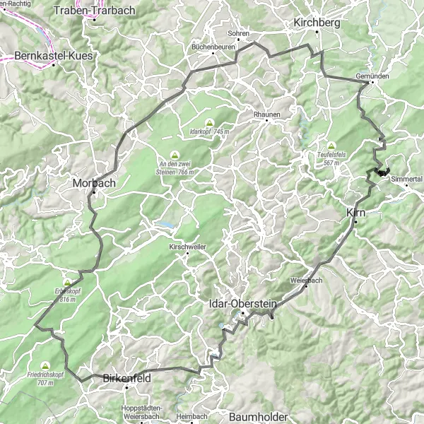
Prepare for a formidable challenge on this epic road cycling route near Simmertal. With a total ascent of 2120m and a distance of 128km, this route will test even the most seasoned cyclists. Highlights include Falkenstein, Kirn, Frauenberg, Bergfried, Buhlenberg, Beilfels, Kahlheid, Morbach, Horbruch, Dillendorf, Aussichtskanzel Alter Steinbruch, and Königsau.
road
128 km
2120 m
Savage
Route profile
Highlights on the route
0 km
0 km
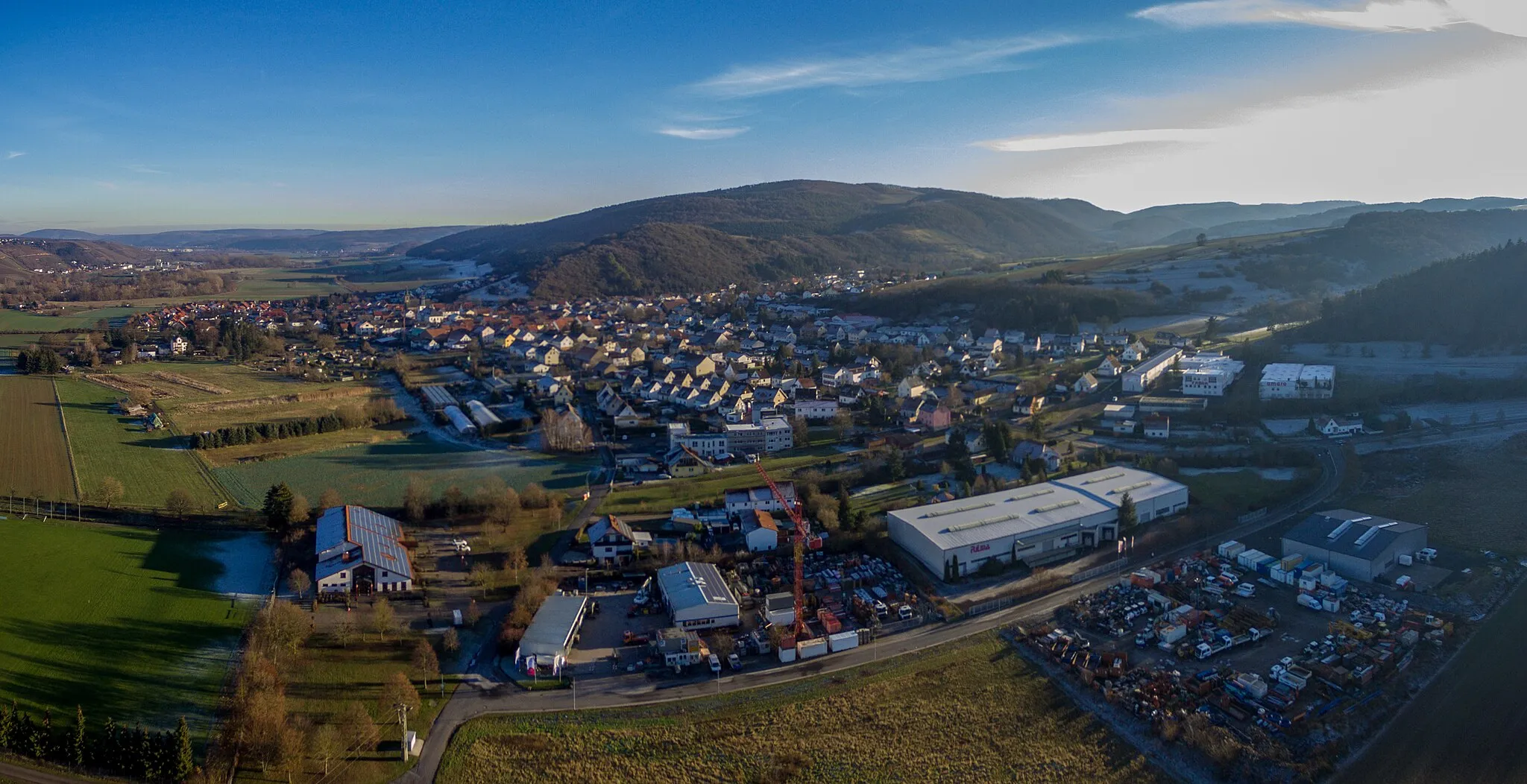
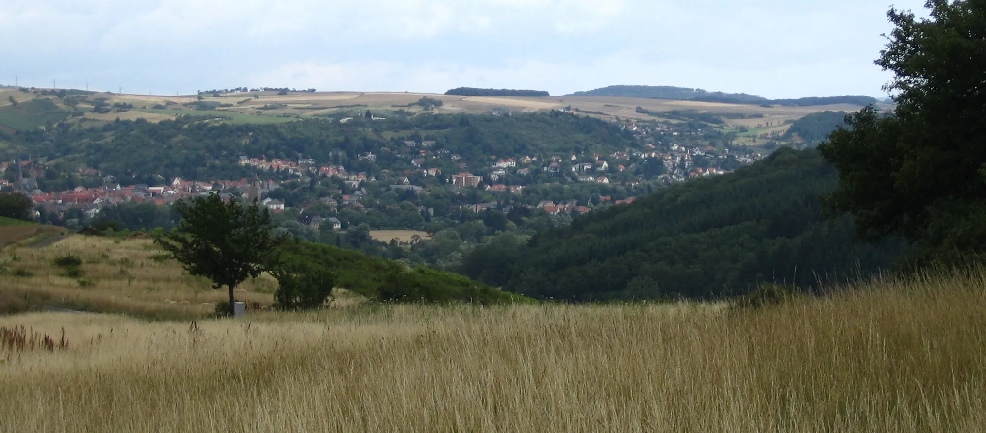
Start: Brauweiler Village centerSimmertal: Serene countryside location with peaceful cycling routes.
Simmertal is a locality situated in Koblenz, Germany. It offers a selection of medium-distance cycling routes that are suitable for road and gravel cyclists. The area is known for its scenic countryside landscapes, dense forests, and peaceful surroundings, providing cyclists with a serene riding experience. While not prominently known for its abundance of iconic cycling locations, the peaceful environment and charming views make Simmertal a pleasant cycling destination.0 km
0 km
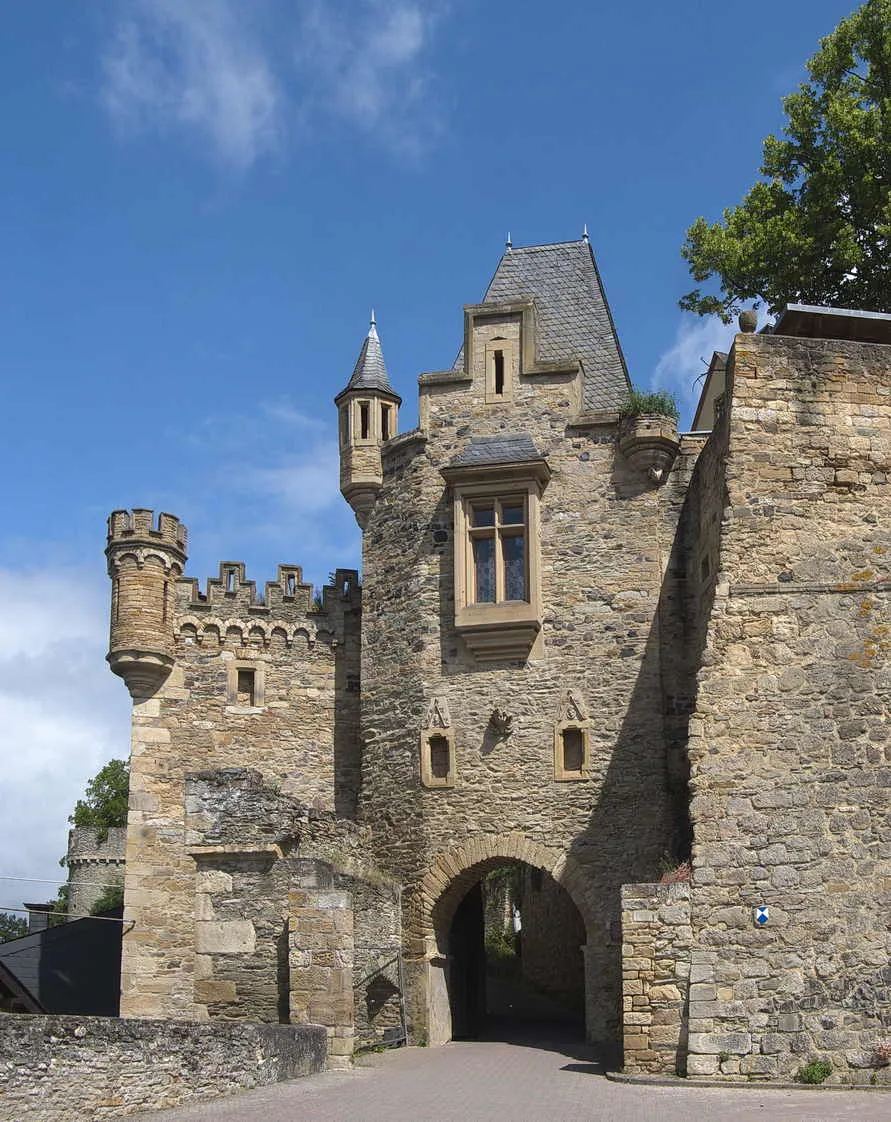
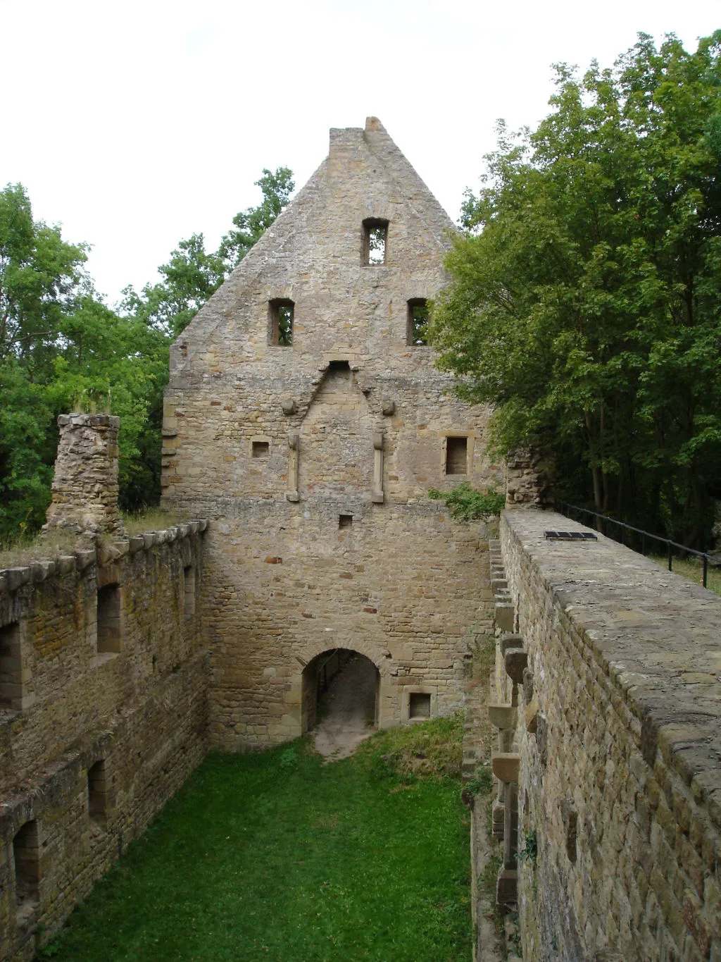
FalkensteinViewpointMarvel at the imposing Falkenstein Castle, perched high above the surrounding landscape.
9 km
9 km
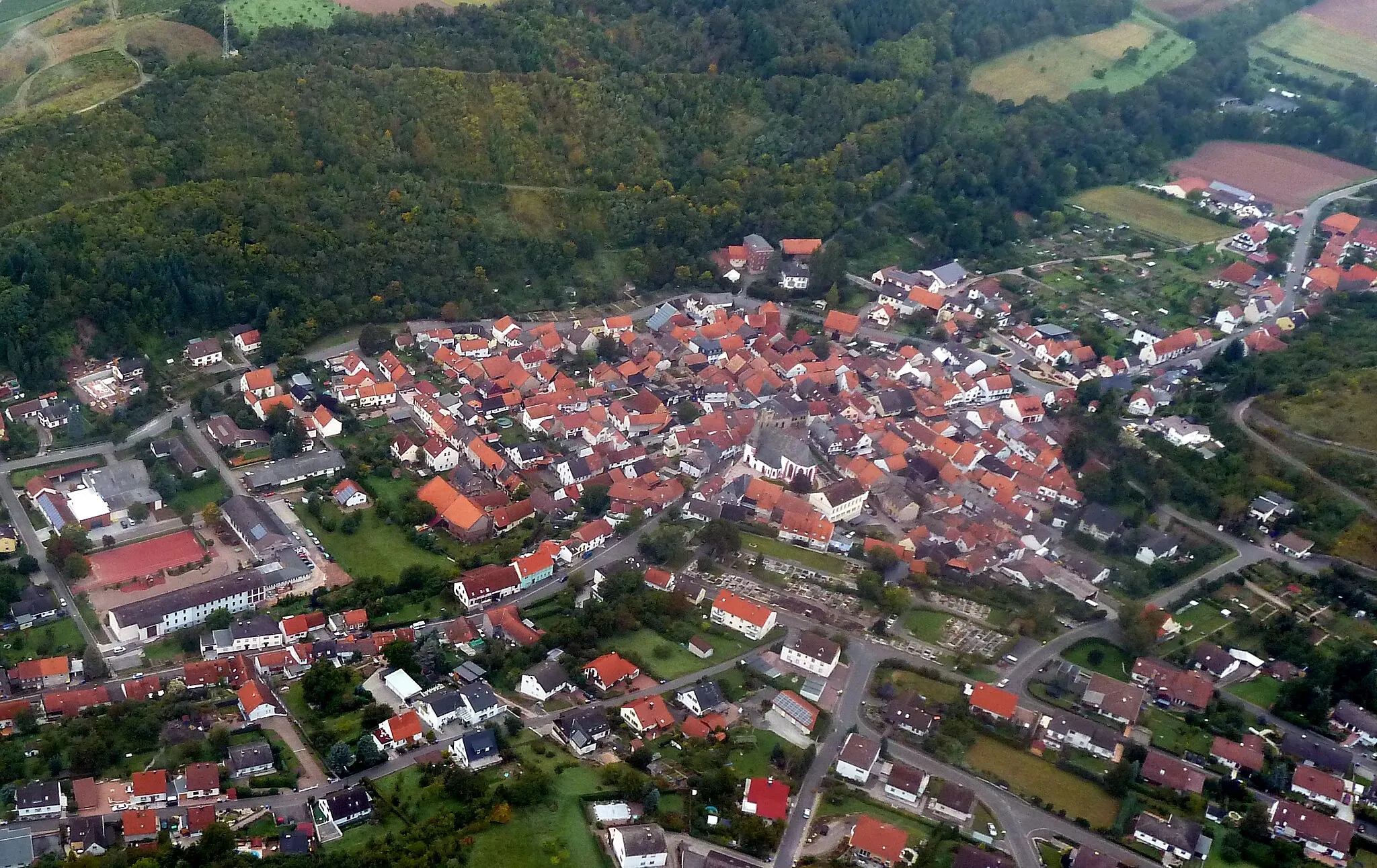
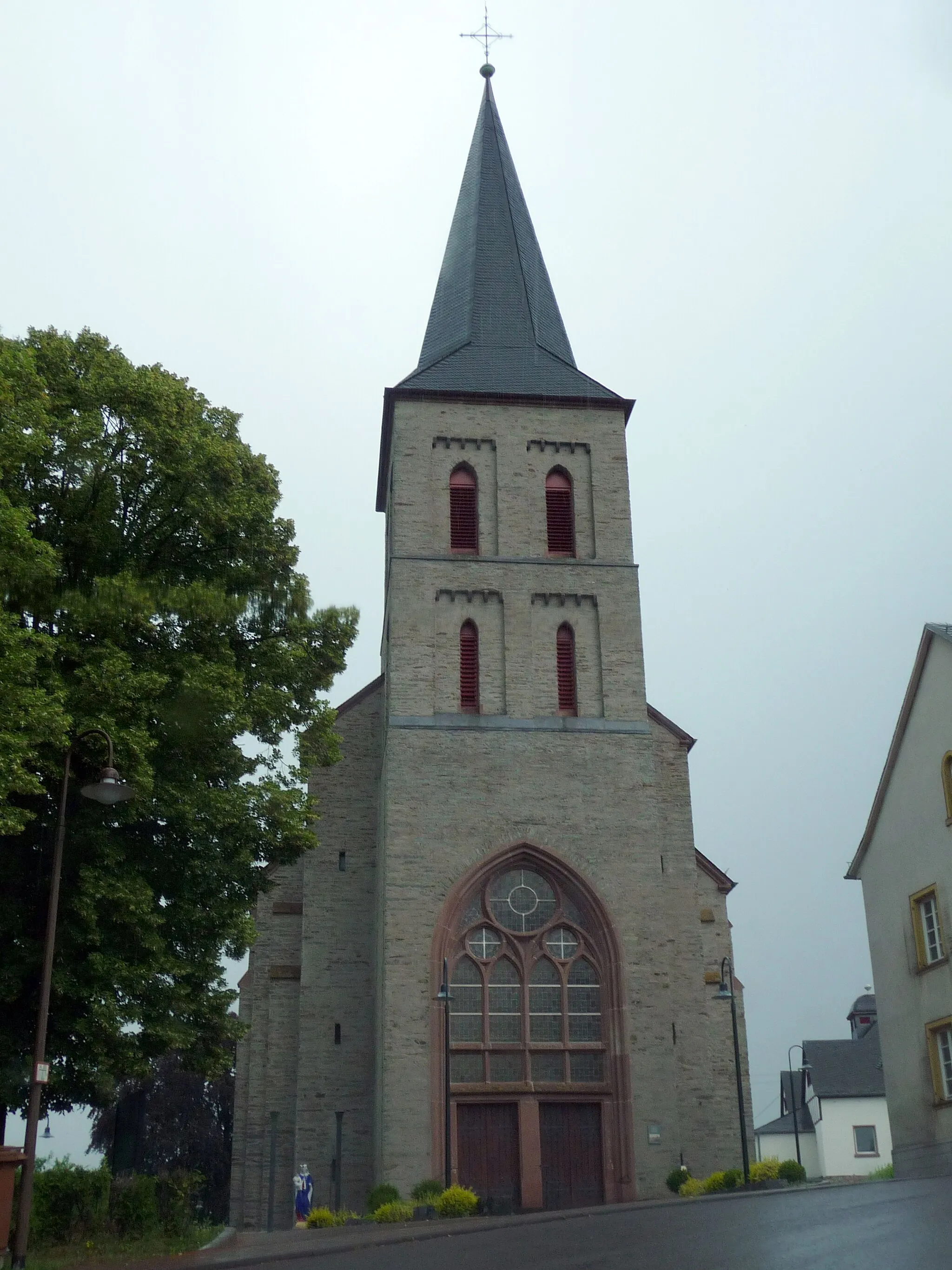
KirnTownExplore the historic town of Kirn, known for its well-preserved architecture and charming atmosphere.
33 km
33 km
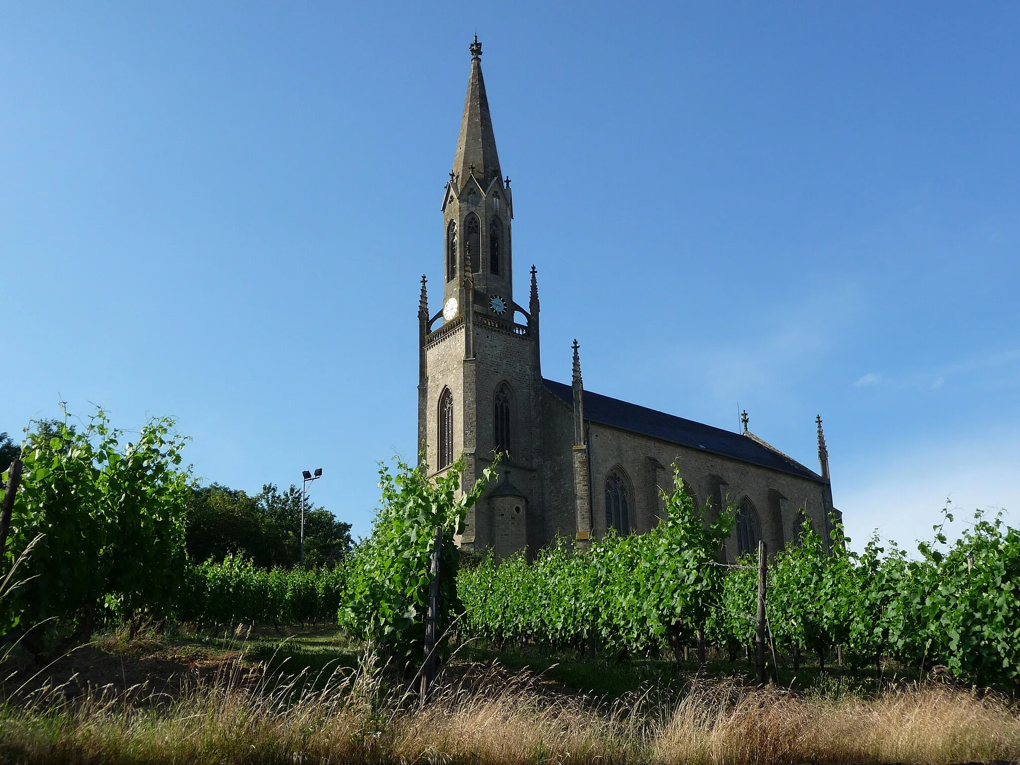
FrauenbergVillageClimb to Frauenberg and enjoy breathtaking views of the Nahe Valley.
34 km
34 km
BergfriedViewpointVisit Bergfried, a medieval tower offering panoramic views of the surrounding countryside.
49 km
49 km
BuhlenbergVillageDiscover Buhlenberg, a small village known for its traditional half-timbered houses and scenic beauty.
52 km
52 km
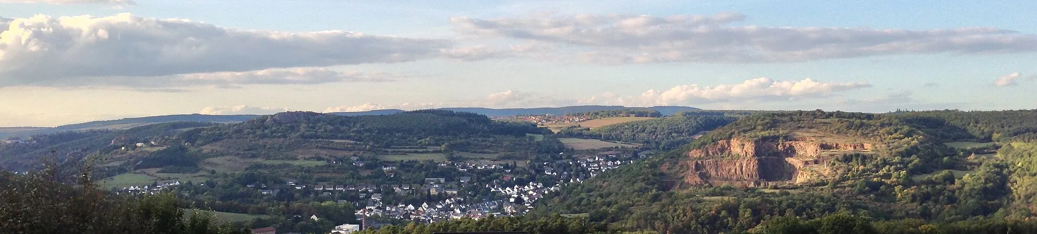
BeilfelsViewpointBeilfels is a hidden gem, with its impressive rock formation and stunning vistas.
67 km
67 km
Kahlheid766 mPeakExperience the beauty of Kahlheid, a tranquil nature reserve with diverse flora and fauna.
76 km
76 km
MorbachTownMarvel at the breathtaking landscapes from the summit of Morbach, a challenging climb worth tackling.
89 km
89 km
HorbruchVillageHorbruch is a charming village known for its idyllic setting and traditional architecture.
103 km
103 km
DillendorfVillageDillendorf offers stunning views of the Nahe River and its picturesque surroundings.
117 km
117 km
Aussichtskanzel Alter SteinbruchViewpointTake a break at Aussichtskanzel Alter Steinbruch and revel in the panoramic views of the region.
119 km
119 km
KönigsauVillageDiscover Königsau, a hidden gem amidst the region's lush forests and rolling hills.
128 km
128 km
Finish: Brauweiler Village centerSimmertal: Serene countryside location with peaceful cycling routes.
Cycling routes nearby: