Laufersweiler Gravel Adventure
A gravel cycling route starting from Sohren
Embark on a fascinating off-road cycling adventure through Laufersweiler's stunning landscapes.
Map
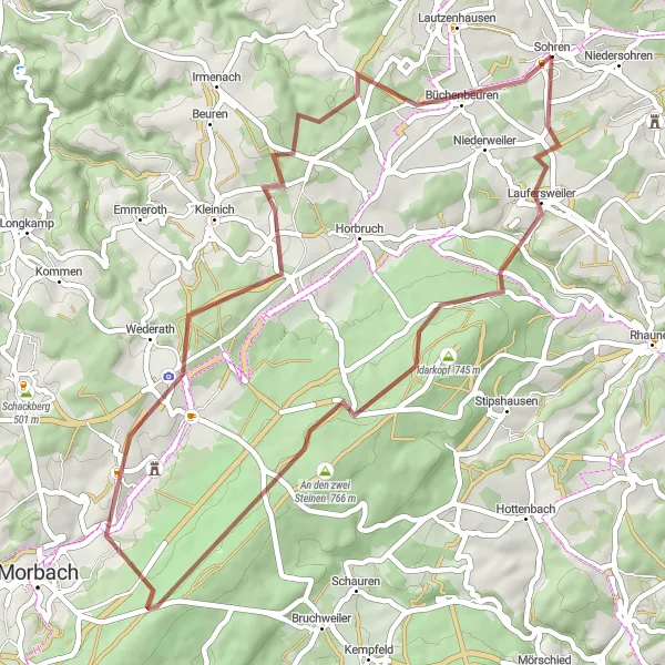
Discover the diverse landscapes of Laufersweiler with this 47-kilometer gravel adventure. Featuring a moderate ascent of 780 meters, this loop offers a thrilling off-road experience for gravel enthusiasts. Explore picturesque villages, idyllic countryside, and scenic viewpoints along the way. The Laufersweiler Gravel Adventure is ideal for nature lovers and cyclists looking to escape the beaten path.
gravel
47 km
780 m
Chill
Route profile
Highlights on the route
0 km
0 km
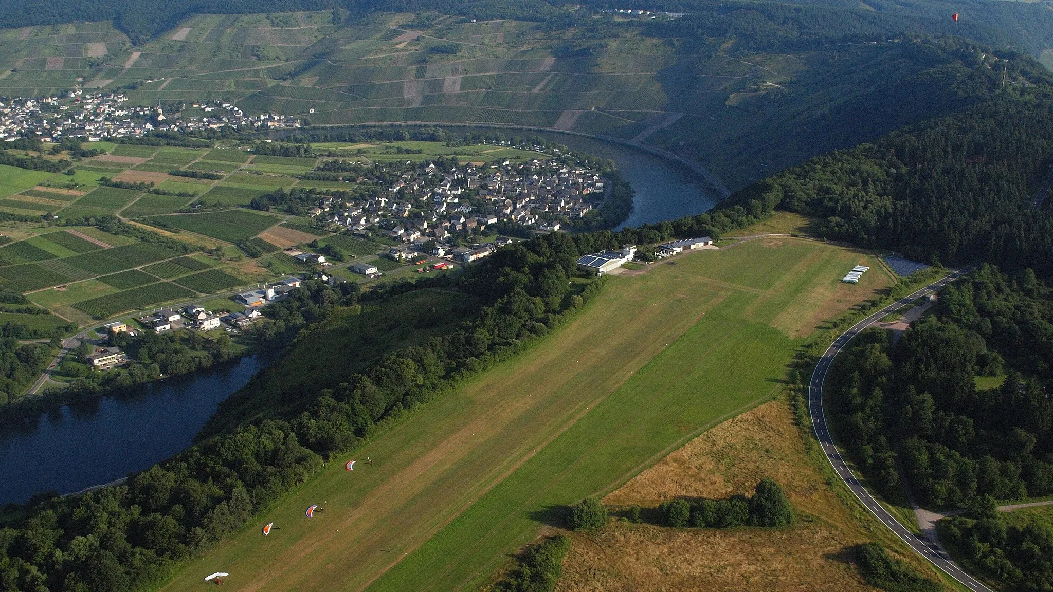
Start: Sohren Village centerSohren: Scenic routes and challenging climbs with access to Moselle Valley.
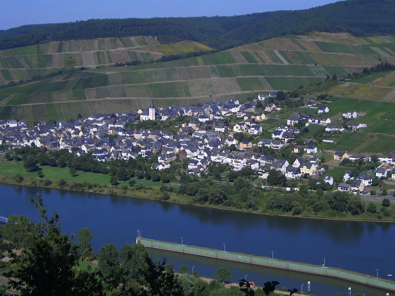
Sohren, located in the Koblenz region of Germany, offers scenic routes and challenging terrain for road and gravel cycling. The locality is surrounded by rolling hills, vineyards, and picturesque landscapes, providing cyclists with a visually stunning experience. Sohren is well-connected to the Moselle Valley, a popular area for cycling due to its tranquil paths along the river. The locality also offers access to the famous Ediger-Eller climb, known for its challenging gradient and panoramic views. With its combination of beauty and challenging routes, Sohren is a great destination for cyclists seeking variety.4 km
4 km
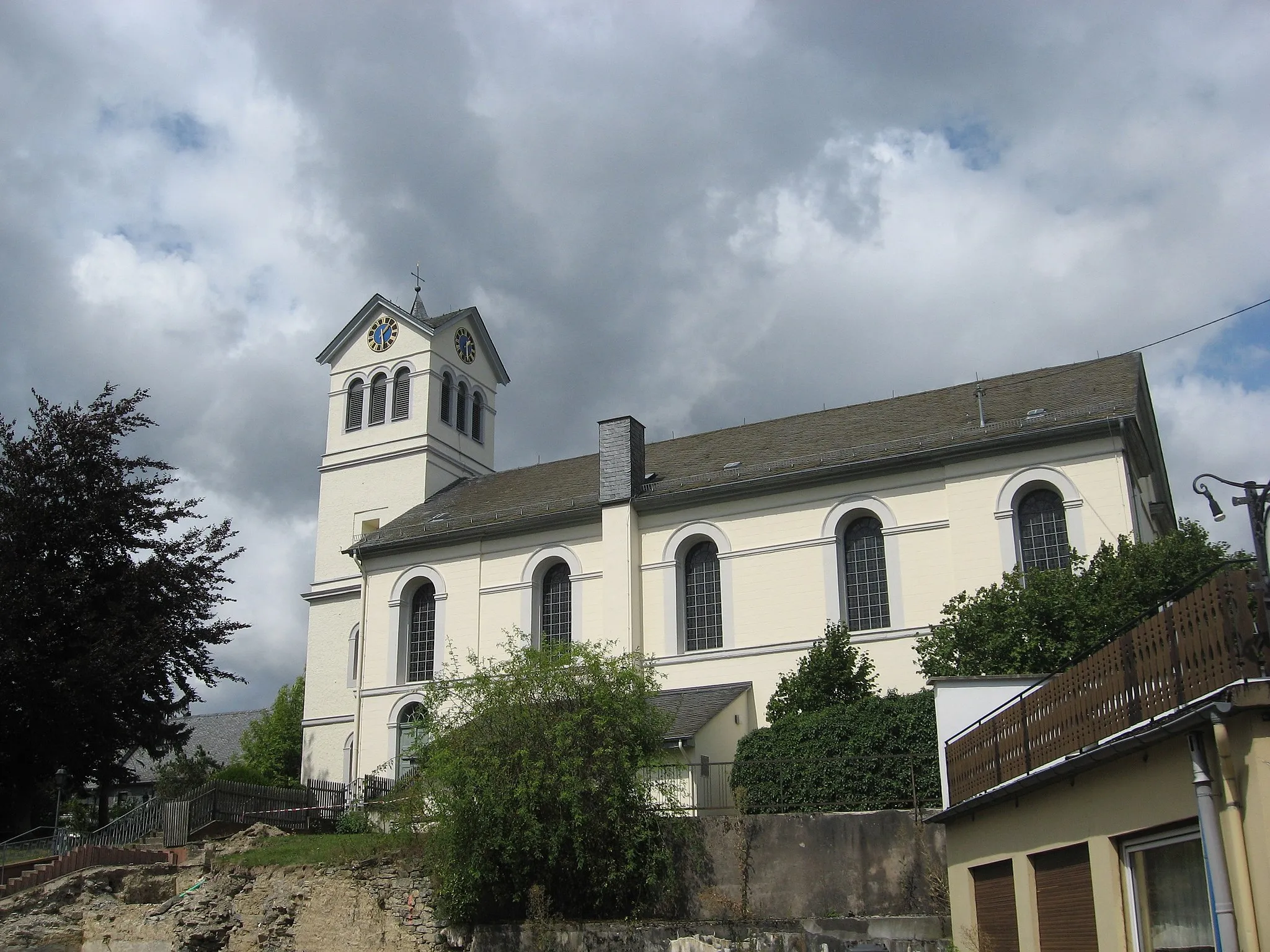
LaufersweilerVillageLaufersweiler is a charming village surrounded by breathtaking nature and offers a peaceful atmosphere.
11 km
11 km
Idarkopf745 mPeakVisit Idarkopf, renowned for its panoramic views and enjoy the tranquility of this remote area.
19 km
19 km
Steingeruettelkopf757 mPeakSteingeruettelkopf is a scenic viewpoint that offers panoramic vistas of the surrounding landscapes.
28 km
28 km
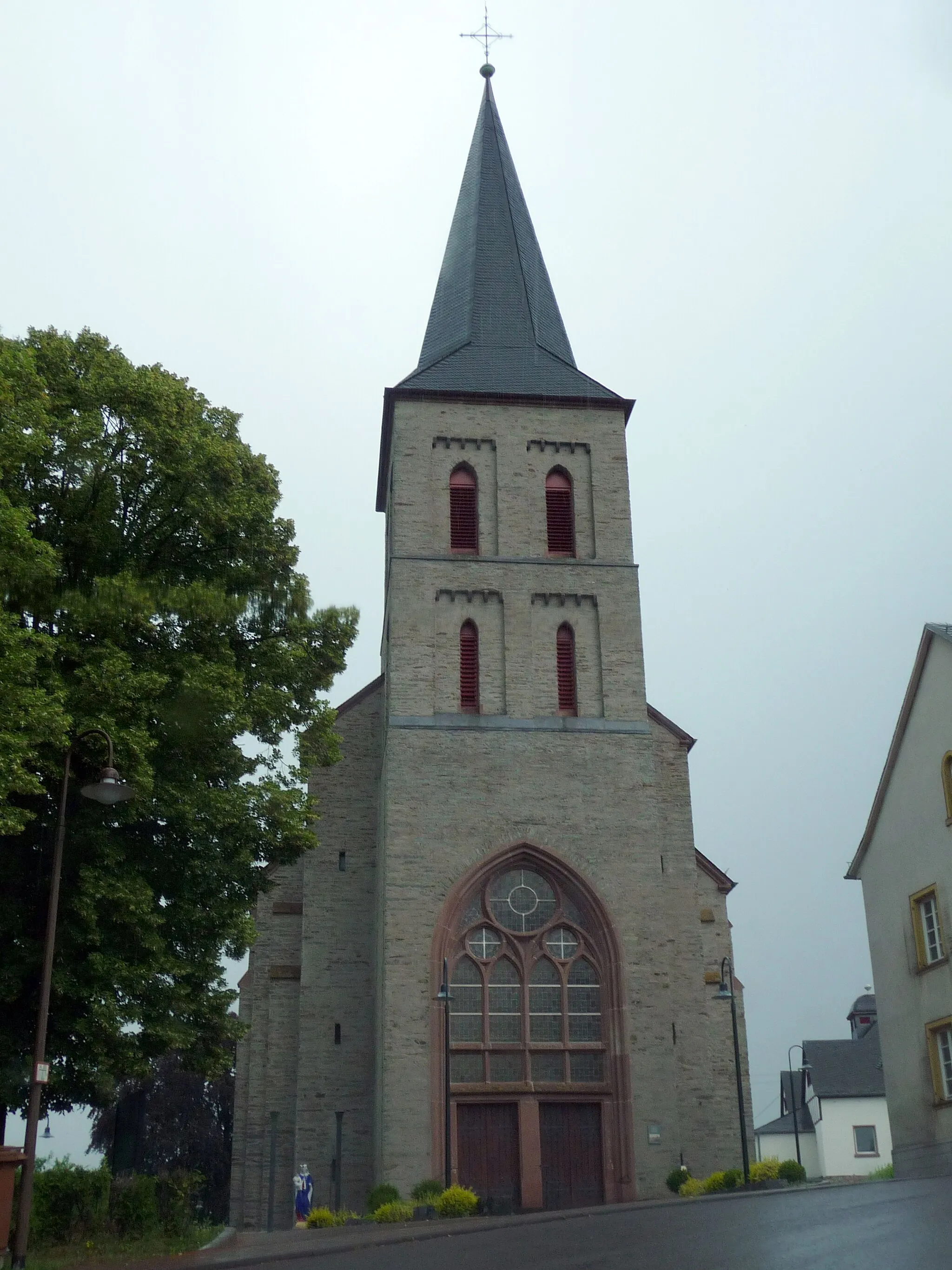
HinzerathVillageHinzerath is a hidden gem with well-preserved traditional architecture and is a must-visit for history enthusiasts.
33 km
33 km
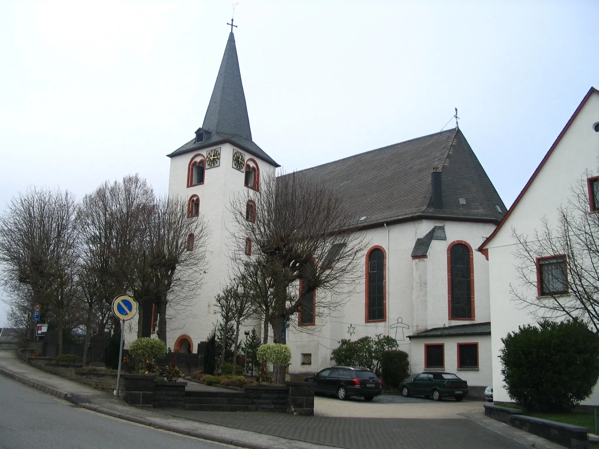
HochscheidVillageHochscheid offers breathtaking views of the rolling hills and picturesque vineyards in the region.
44 km
44 km
BüchenbeurenVillageBüchenbeuren is a tranquil village nestled amidst lush greenery, providing a serene ambiance for cyclists.
47 km
47 km
Finish: Sohren Village centerSohren: Scenic routes and challenging climbs with access to Moselle Valley.
Cycling routes nearby: