Sohren Scenic Loop
A road cycling route starting from Sohren
Discover the beautiful surroundings of Sohren on this scenic road cycling route.
Map
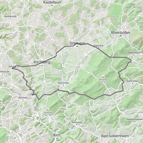
Experience the beauty of the Sohren region with this 82-kilometer road cycling route. With a moderate ascent of 1342 meters, this loop promises stunning landscapes and rewarding challenges. Explore charming villages, historic sites, and scenic viewpoints along the way. The Sohren Scenic Loop is suitable for cyclists looking to enjoy both the tranquility of nature and the cultural richness of the area.
road
82 km
1342 m
Tough
Route profile
Highlights on the route
0 km
0 km
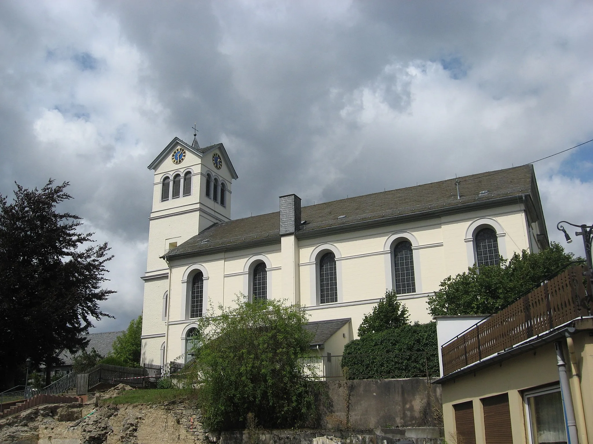
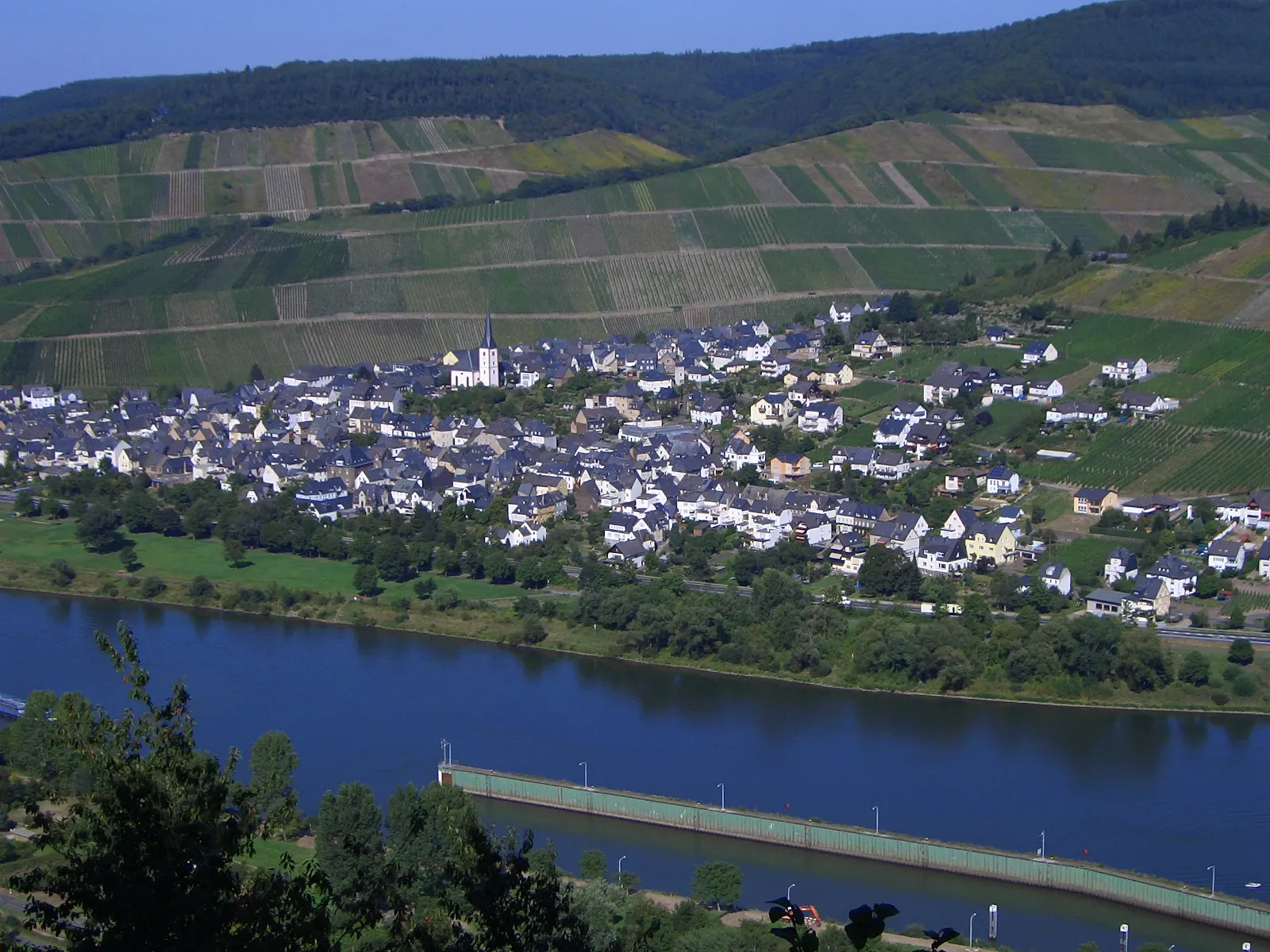
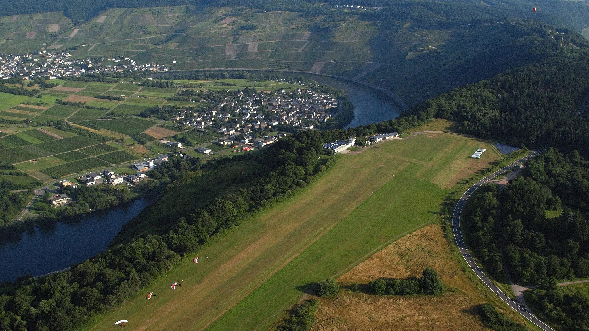
Start: Sohren Village centerSohren: Scenic routes and challenging climbs with access to Moselle Valley.
Sohren, located in the Koblenz region of Germany, offers scenic routes and challenging terrain for road and gravel cycling. The locality is surrounded by rolling hills, vineyards, and picturesque landscapes, providing cyclists with a visually stunning experience. Sohren is well-connected to the Moselle Valley, a popular area for cycling due to its tranquil paths along the river. The locality also offers access to the famous Ediger-Eller climb, known for its challenging gradient and panoramic views. With its combination of beauty and challenging routes, Sohren is a great destination for cyclists seeking variety.4 km
4 km
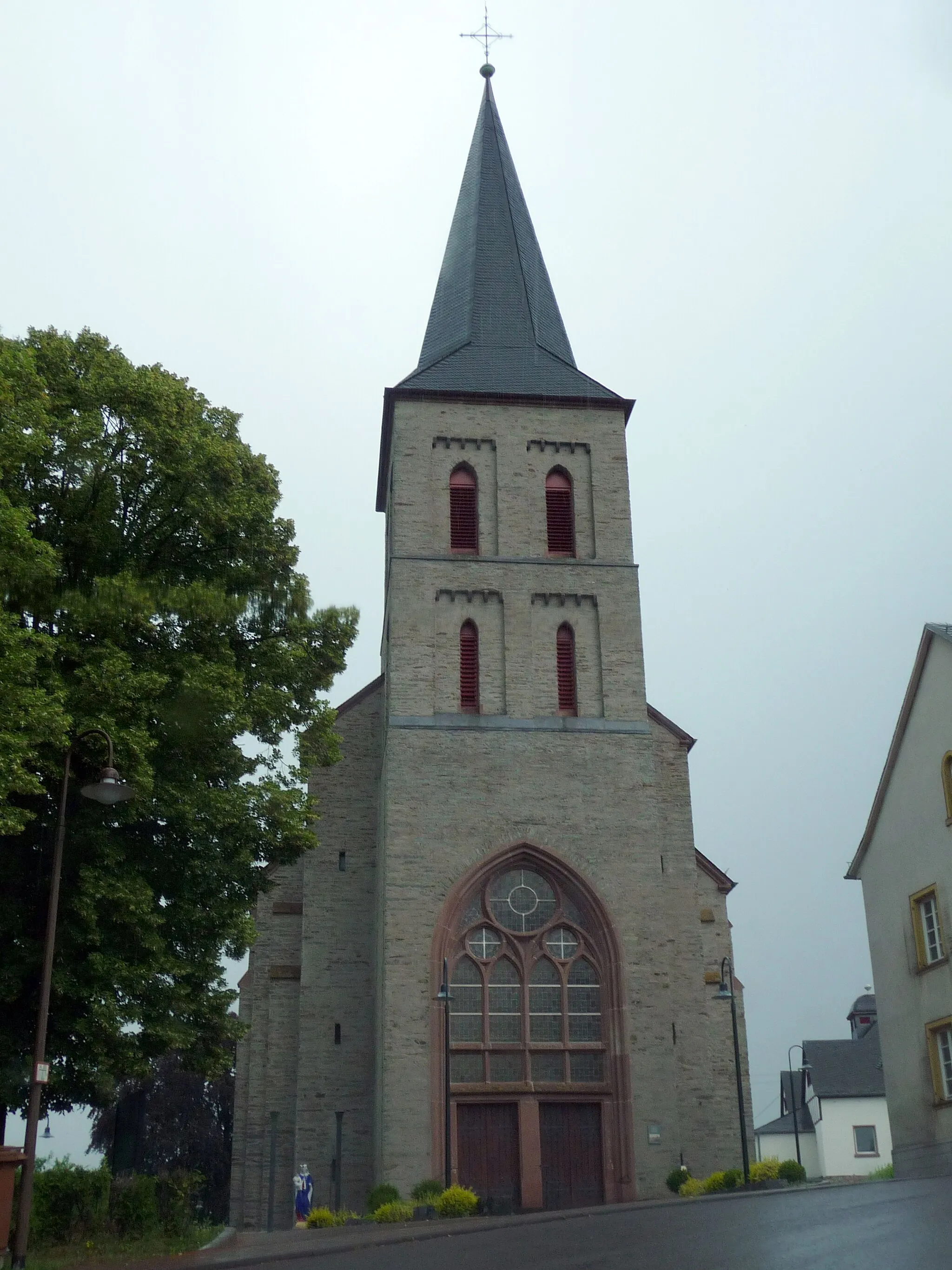
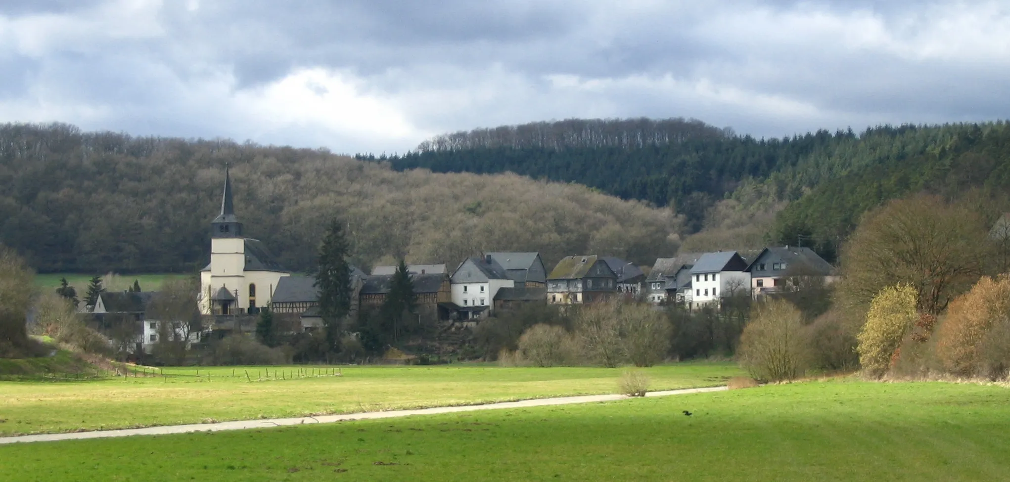
Nieder KostenzVillageStop by Nieder Kostenz and marvel at its traditional architecture and peaceful atmosphere.
18 km
18 km
BastionViewpointBastion offers impressive views of the surrounding countryside and is a popular rest stop for cyclists.
24 km
24 km
ArgenthalVillageArgenthal is surrounded by scenic landscapes, making it a perfect spot for a quick break.
40 km
40 km
Geyerfels530 mPeakGeyerfels is known for its unique rock formations, providing a touch of adventure on the route.
47 km
47 km
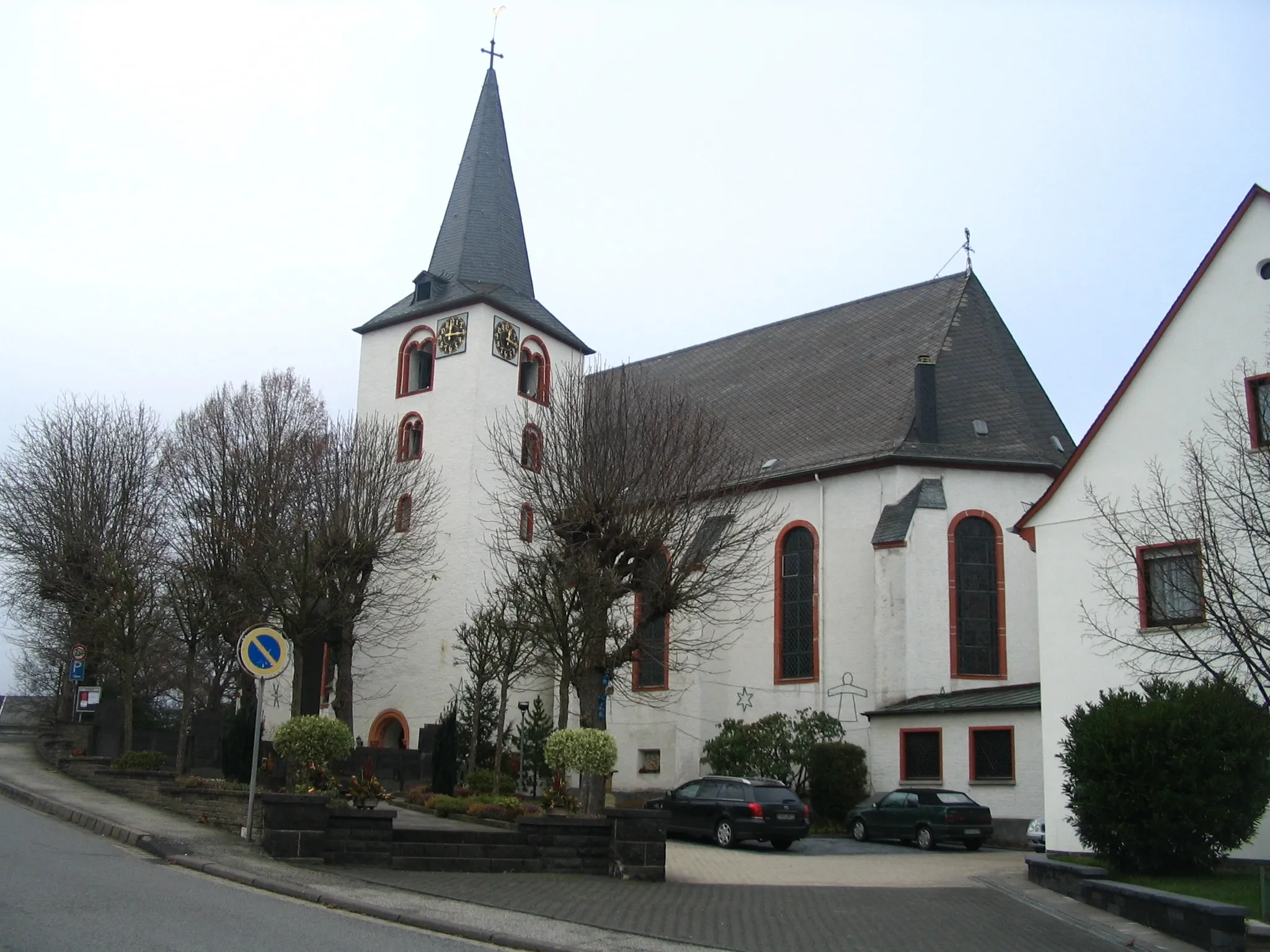
IppenschiedVillageMake a stop at Ippenschied and explore its charming streets lined with traditional half-timbered houses.
57 km
57 km
Gemündener Höhe560 mPeakGemündener Höhe is a popular viewpoint that offers breathtaking panoramic views of the surrounding landscapes.
70 km
70 km
HausenVillageHausen is a tranquil village surrounded by lush green fields and forests, providing a peaceful cycling experience.
82 km
82 km
SohrenVillageFinish your journey in Sohren and take in the charming atmosphere of this small town.
82 km
82 km
Finish: Sohren Village centerSohren: Scenic routes and challenging climbs with access to Moselle Valley.
Cycling routes nearby: