Lochum and Großer Weißenstein Gravel Route
A gravel cycling route starting from Westerburg
Enjoy the rugged gravel paths as you ride through Lochum and Großer Weißenstein.
Map
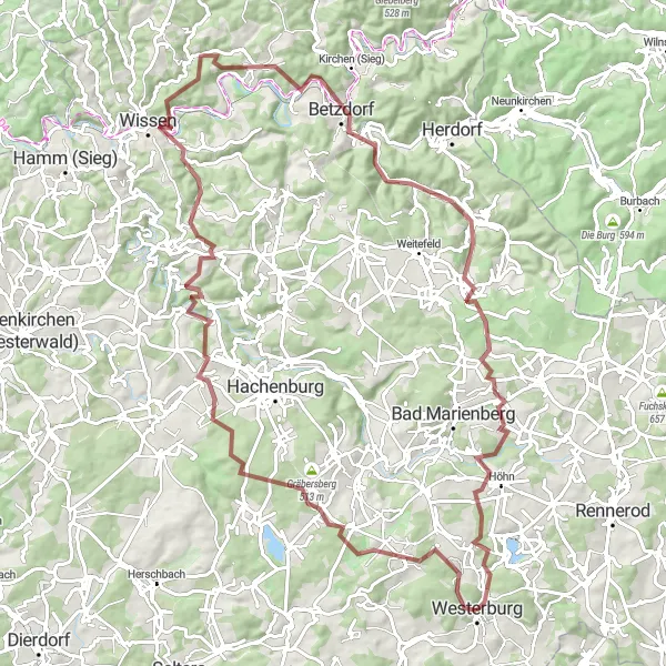
This gravel route starts near Westerburg and takes you through the scenic roads of Lochum and Großer Weißenstein. With a total distance of 96 kilometers and an elevation gain of 1785 meters, it offers a challenging adventure for gravel enthusiasts. The route is known for its beautiful countryside landscapes and serene surroundings. The difficulty level of this route is rated at 4, suitable for well-trained amateur cyclists. Overall, the route promises an epic experience for those looking to explore the lesser-known spots near Westerburg.
gravel
96 km
1785 m
Tough
Route profile
Highlights on the route
0 km
0 km
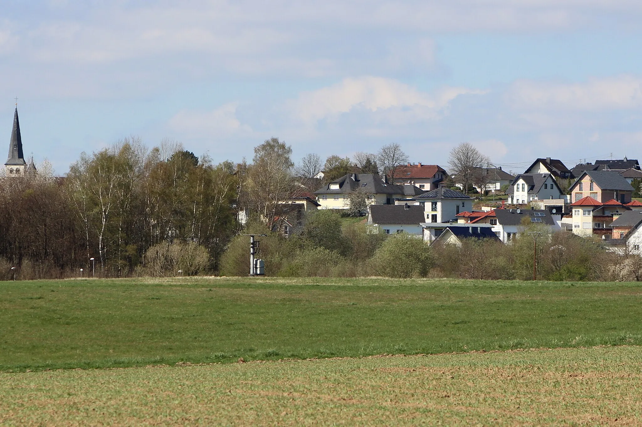
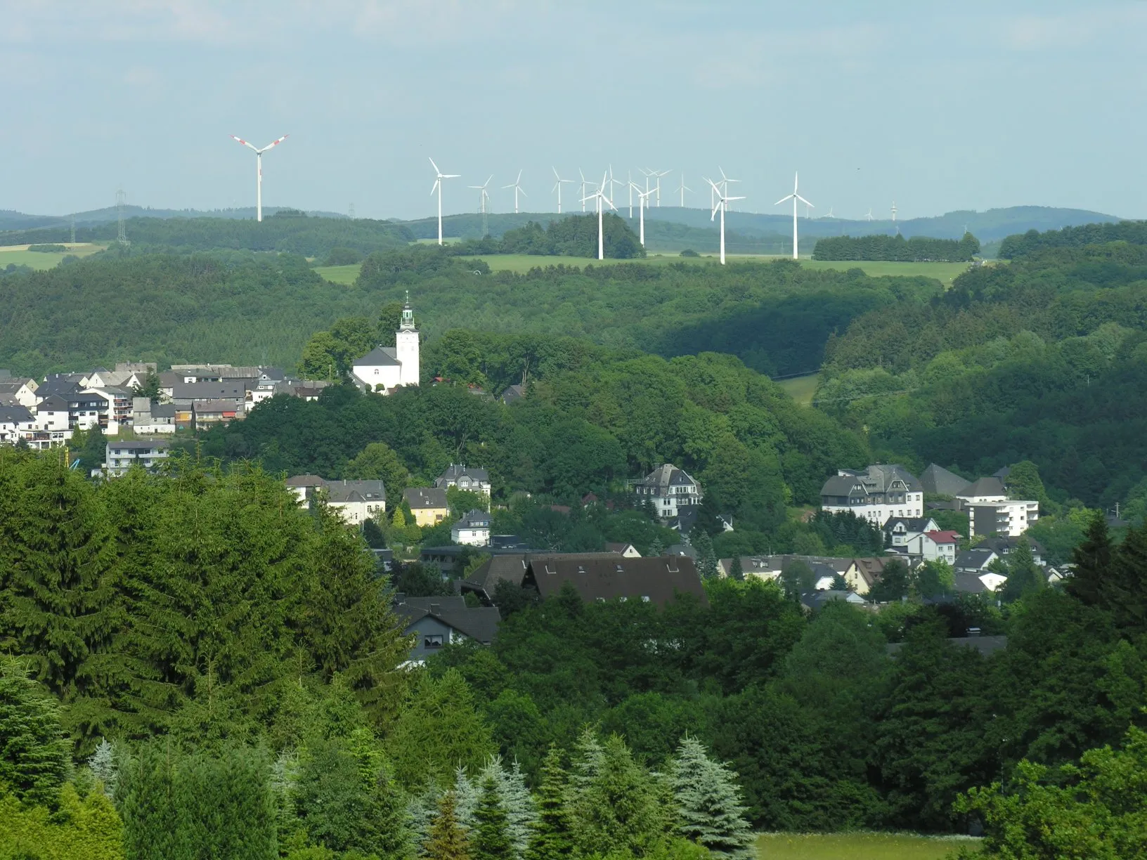
Start: Westerburg City centerWesterburg: Charming Cycling Haven in Koblenz
Westerburg, located in Koblenz, Germany, is a charming locality for road and gravel cyclists. The area offers a combination of rolling hills, picturesque valleys, and historic towns to explore. Cyclists can enjoy scenic rides on well-maintained roads, passing through vineyards and past stunning castles. Additionally, nearby Westerwald Loop provides a challenging ride with its diverse terrain and adventurous climbs. For experienced riders looking for a memorable cycling journey, Westerburg and its surrounding areas are a great choice. It is ranked 4 for its cycling appeal.13 km
13 km
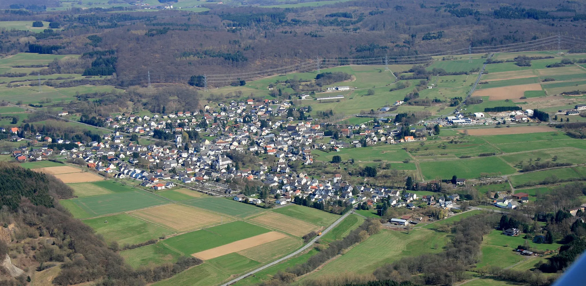
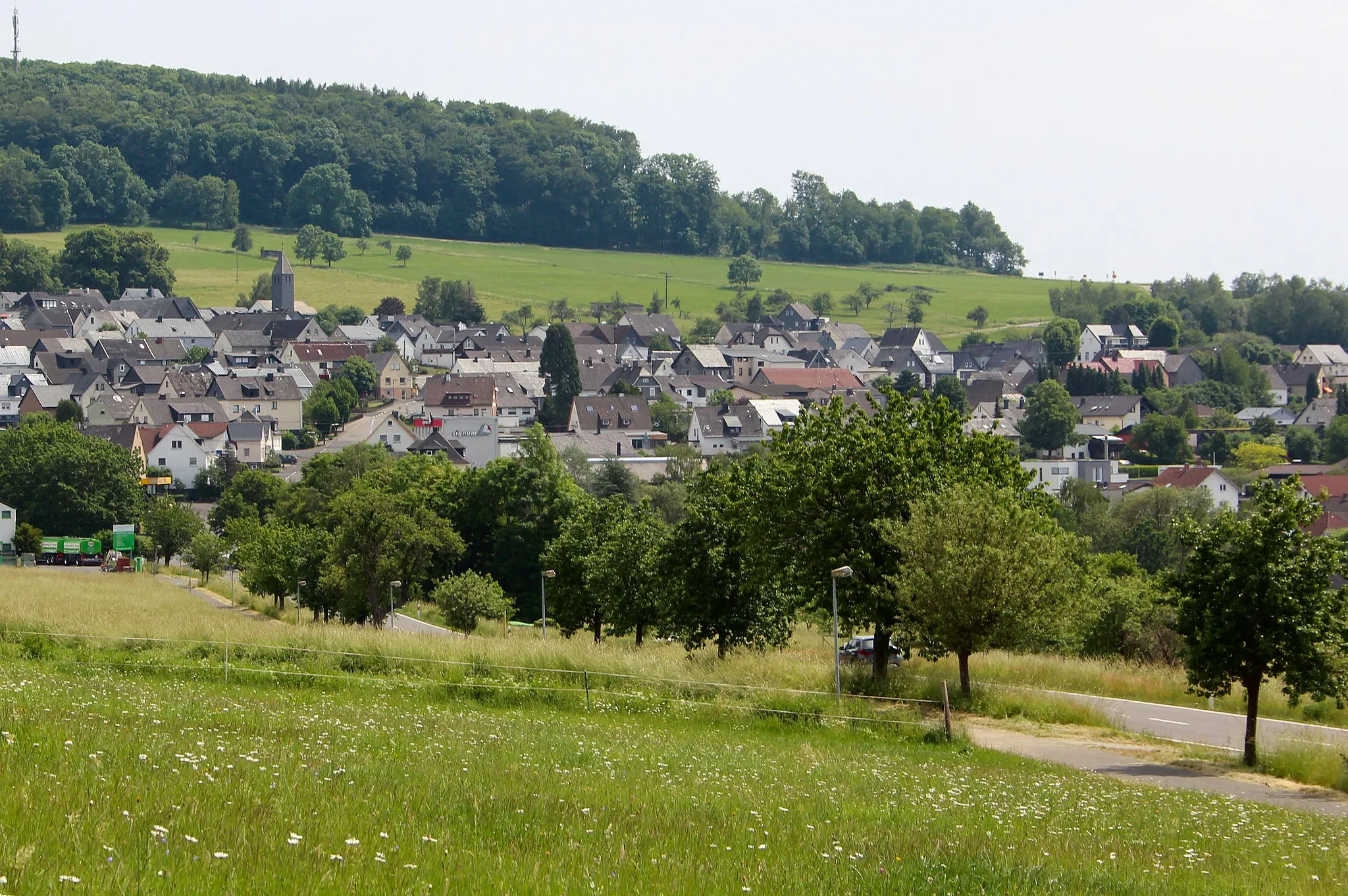
LochumVillageLocated at a distance of 13 kilometers on the route, Lochum is a charming village known for its traditional architecture and picturesque landscapes.
15 km
15 km
Großer Weißenstein509 mPeakGroßer Weißenstein, located at a distance of 15 kilometers on the route, is a popular spot for hikers and mountain bikers. It offers stunning panoramic views of the surrounding forests and valleys.
28 km
28 km
Hohe LeyViewpointHohe Ley, located at a distance of 28 kilometers on the route, is a hill known for its beautiful wildflower meadows and hiking trails.
65 km
65 km
Höhwegs-Kopf413 mPeakHöhwegs-Kopf is a small hill located at a distance of 65 kilometers on the route. It offers a peaceful and secluded spot for a quick rest.
73 km
73 km
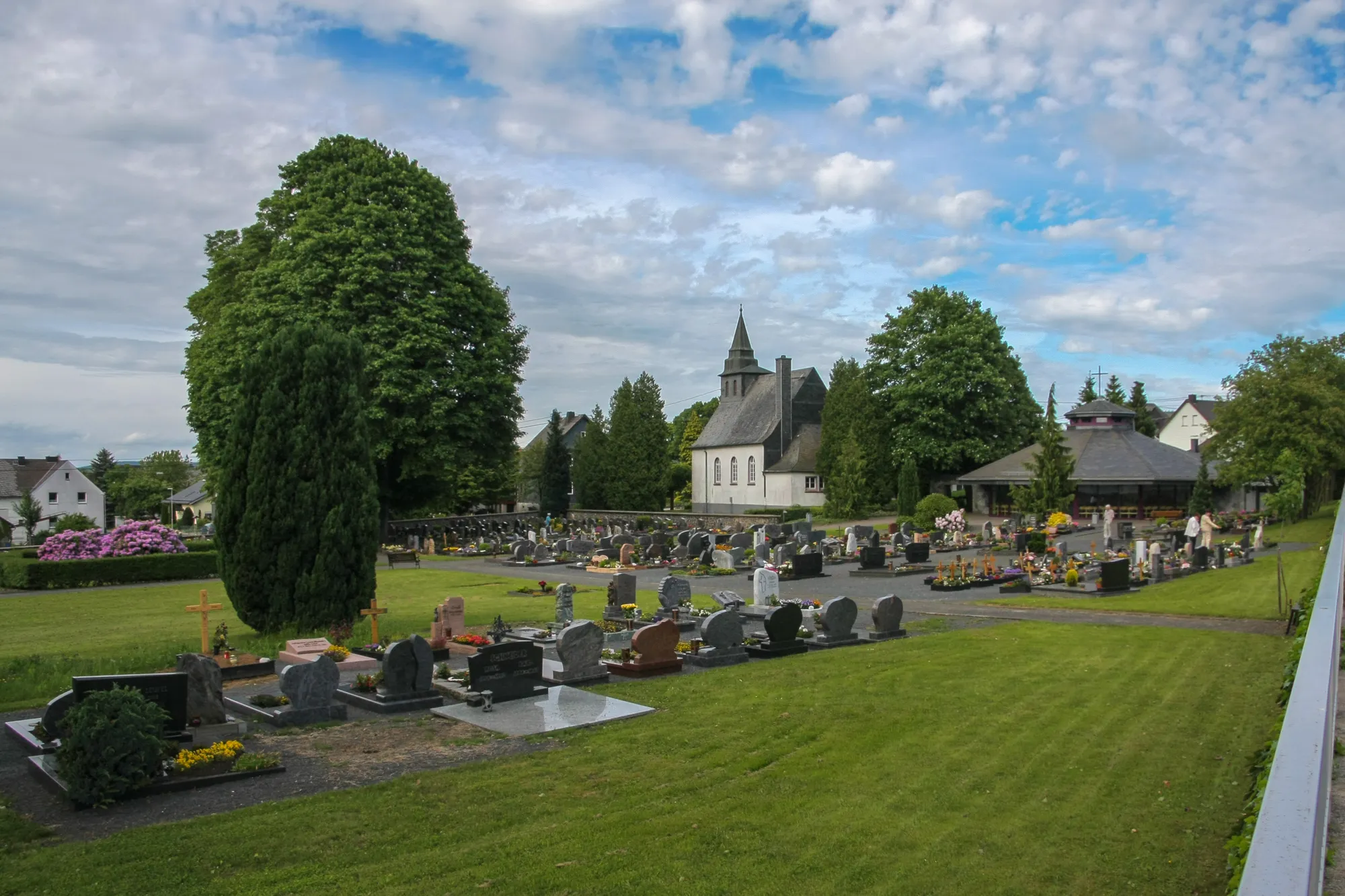
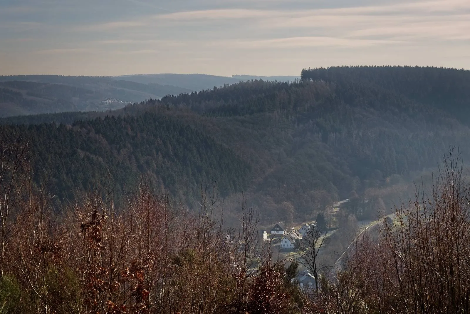
FriedewaldVillageFriedewald, located at a distance of 73 kilometers on the route, is a historic castle surrounded by ancient forests.
91 km
91 km
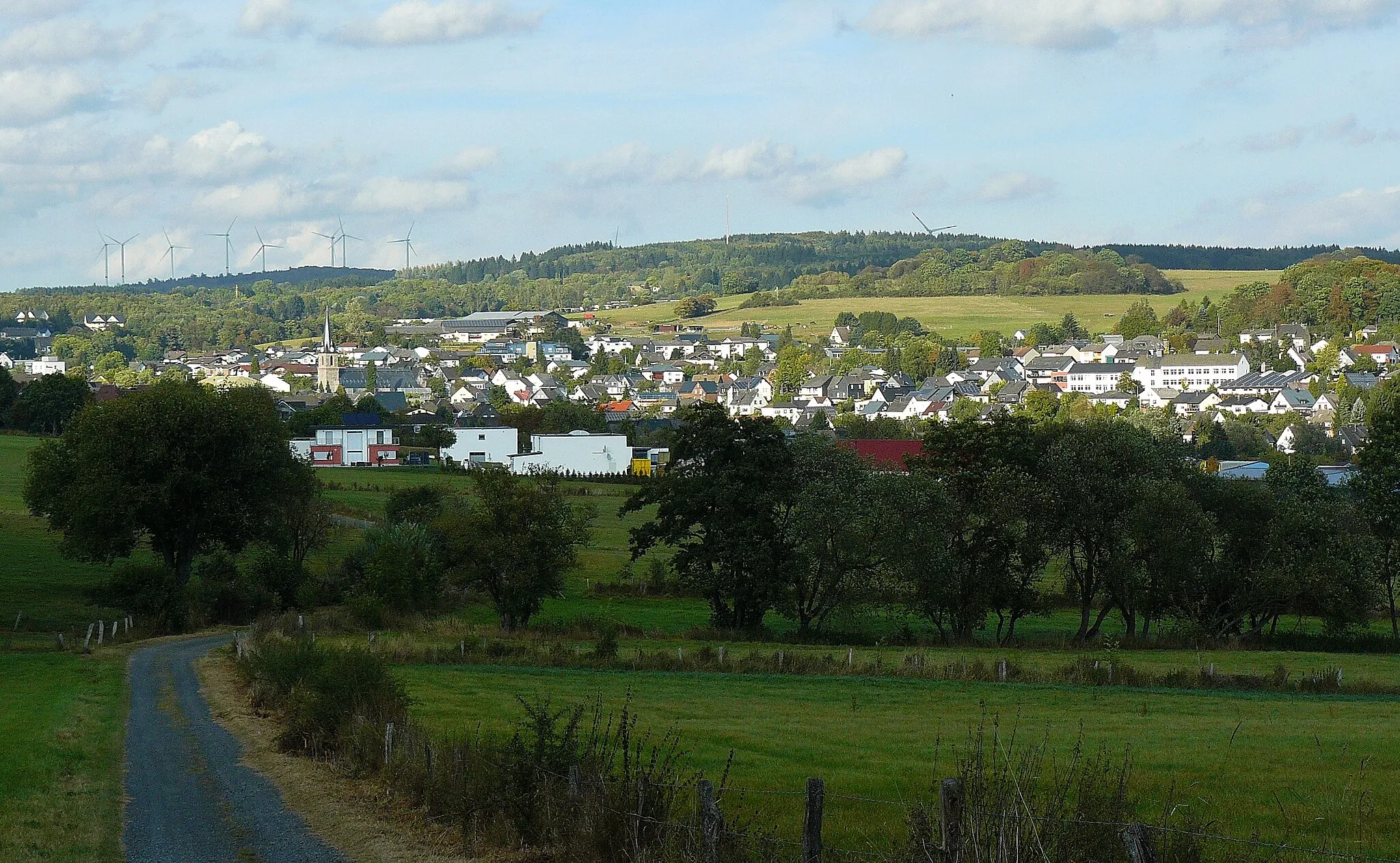
HalbsVillageHalbs, located at a distance of 91 kilometers on the route, is a small village known for its charming cafes and restaurants.
96 km
96 km
Finish: Westerburg City centerWesterburg: Charming Cycling Haven in Koblenz
Cycling routes from Westerburg:
Off the Beaten Path Westerwald Grand Tour Scenic Valley Explorer Westerwald Adventure Discover Hidden Treasures Lochum and Großer Weißenstein Gravel Route Hohenscheid and Limburg an der Lahn Road Route Scenic Berzhahn Gravel Route Lange Issel and Bad Ems Road Route Koblenz and the Moselle Valley Westlicher Hunsrück und Naturparke
Cycling routes nearby: