Westlicher Hunsrück und Naturparke
A gravel cycling route starting from Westerburg
Experience the rugged beauty of the western Hunsrück region and its stunning nature parks.
Map
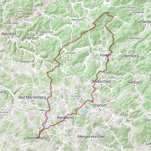
This round-trip cycling route near Westerburg takes you through the scenic landscapes of the western Hunsrück region and the surrounding nature parks. With a distance of 101 kilometers and an ascent of 1925 meters, this route offers a challenging but rewarding experience for very well-trained amateurs. The route is best suited for gravel bikes, allowing you to explore both paved roads and off-road trails.
gravel
101 km
1925 m
Tough
Route profile
Highlights on the route
0 km
0 km
Start: Westerburg City centerWesterburg: Charming Cycling Haven in Koblenz
Westerburg, located in Koblenz, Germany, is a charming locality for road and gravel cyclists. The area offers a combination of rolling hills, picturesque valleys, and historic towns to explore. Cyclists can enjoy scenic rides on well-maintained roads, passing through vineyards and past stunning castles. Additionally, nearby Westerwald Loop provides a challenging ride with its diverse terrain and adventurous climbs. For experienced riders looking for a memorable cycling journey, Westerburg and its surrounding areas are a great choice. It is ranked 4 for its cycling appeal.12 km
12 km
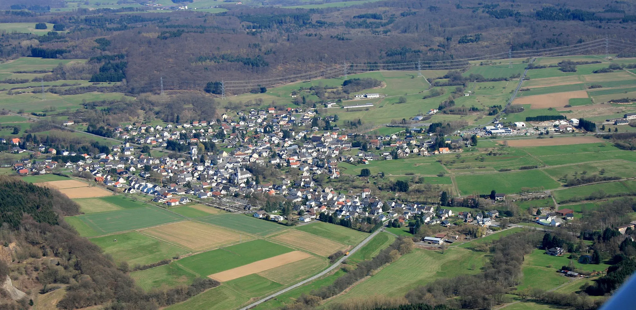
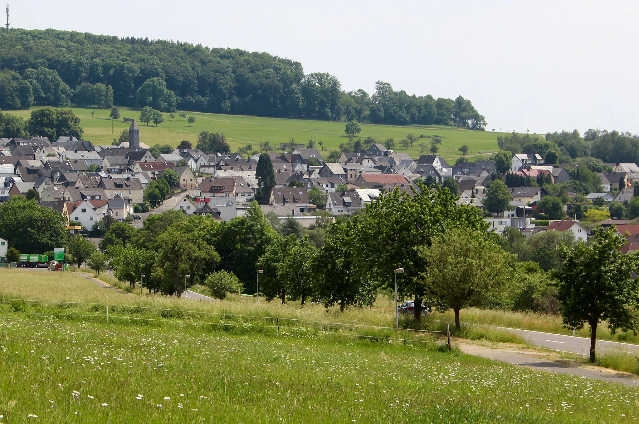
Fehl-RitzhausenVillageFehl-Ritzhausen, located 12 kilometers into the route, offers a picturesque village atmosphere with traditional half-timbered houses and charming cafes.
14 km
14 km
Löh566 mPeakLöh, situated at the 14-kilometer mark, provides a serene retreat with its tranquil lakes and lush green surroundings.
22 km
22 km
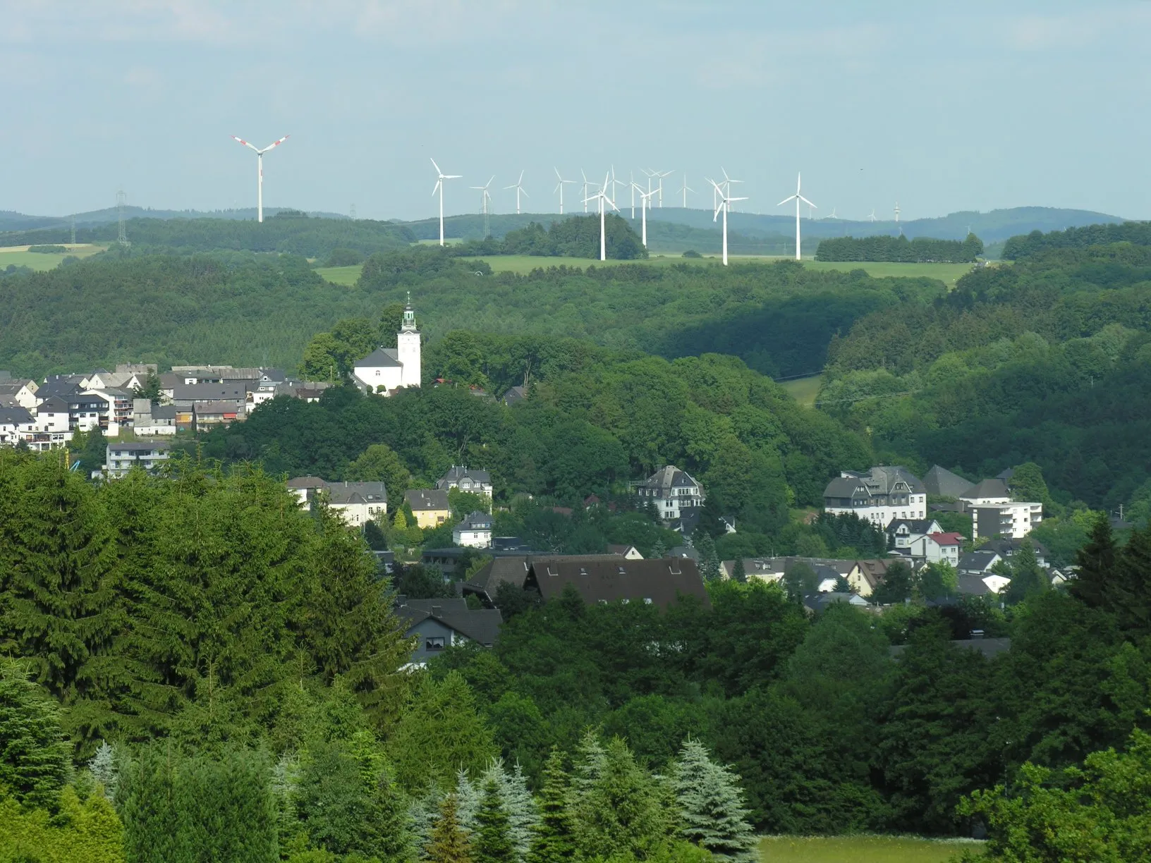
Stegskopf654 mPeakStegskopf, a nature reserve at the 22-kilometer point, showcases breathtaking views from its observation tower and is home to various bird species.
31 km
31 km
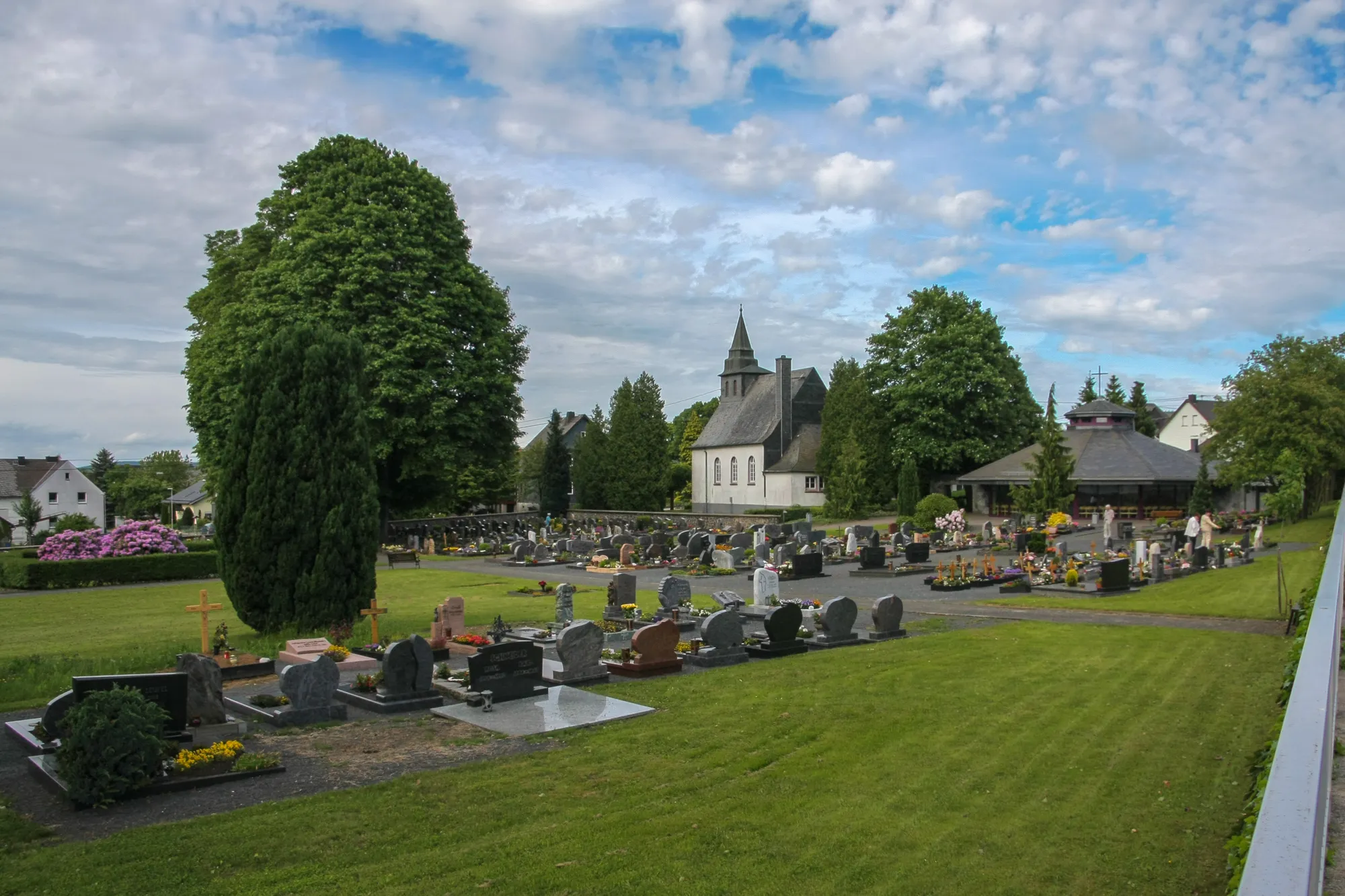
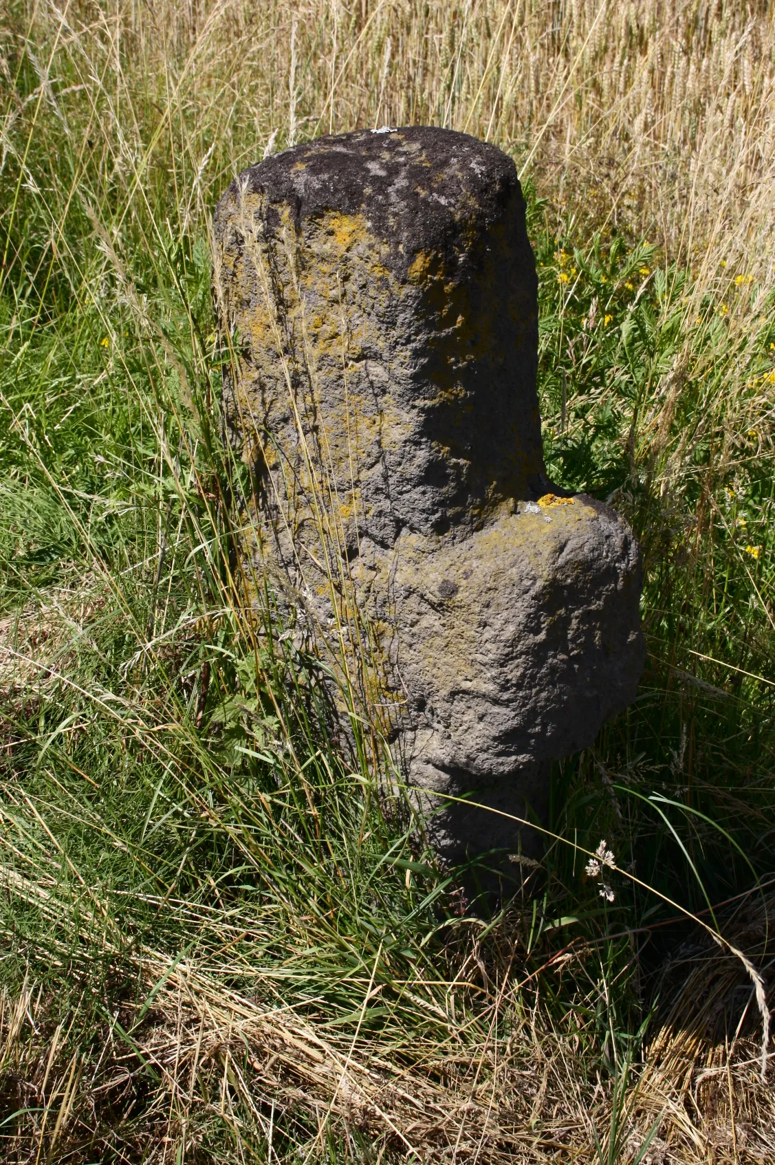
WahlbachVillageWahlbach, located 31 kilometers into the route, is known for its idyllic vineyards and local wineries, offering a delightful stop for wine enthusiasts.
39 km
39 km
Kalteiche579 mPeakKalteiche, at the 39-kilometer mark, captivates with its ancient fortress ruins and panoramic vistas over the surrounding countryside.
50 km
50 km
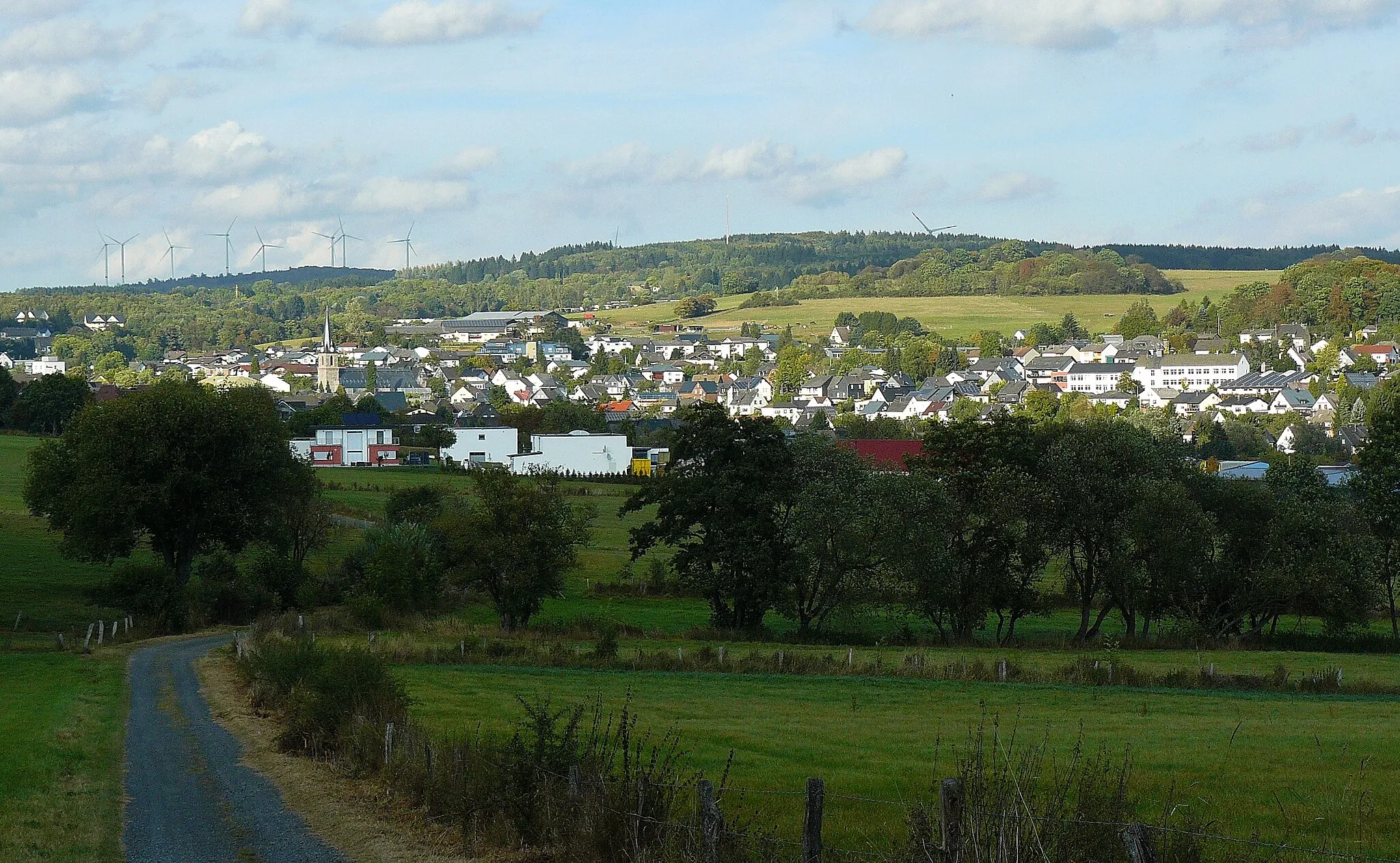
OffdillnVillageOffdilln, 50 kilometers into the route, invites you to explore its charming timber-framed houses and enjoy the tranquility of the Dill River.
59 km
59 km
Himmberg467 mPeakHimmberg, at the 59-kilometer point, treats you to enchanting woodland trails and picturesque viewpoints of the Westerwald region.
70 km
70 km
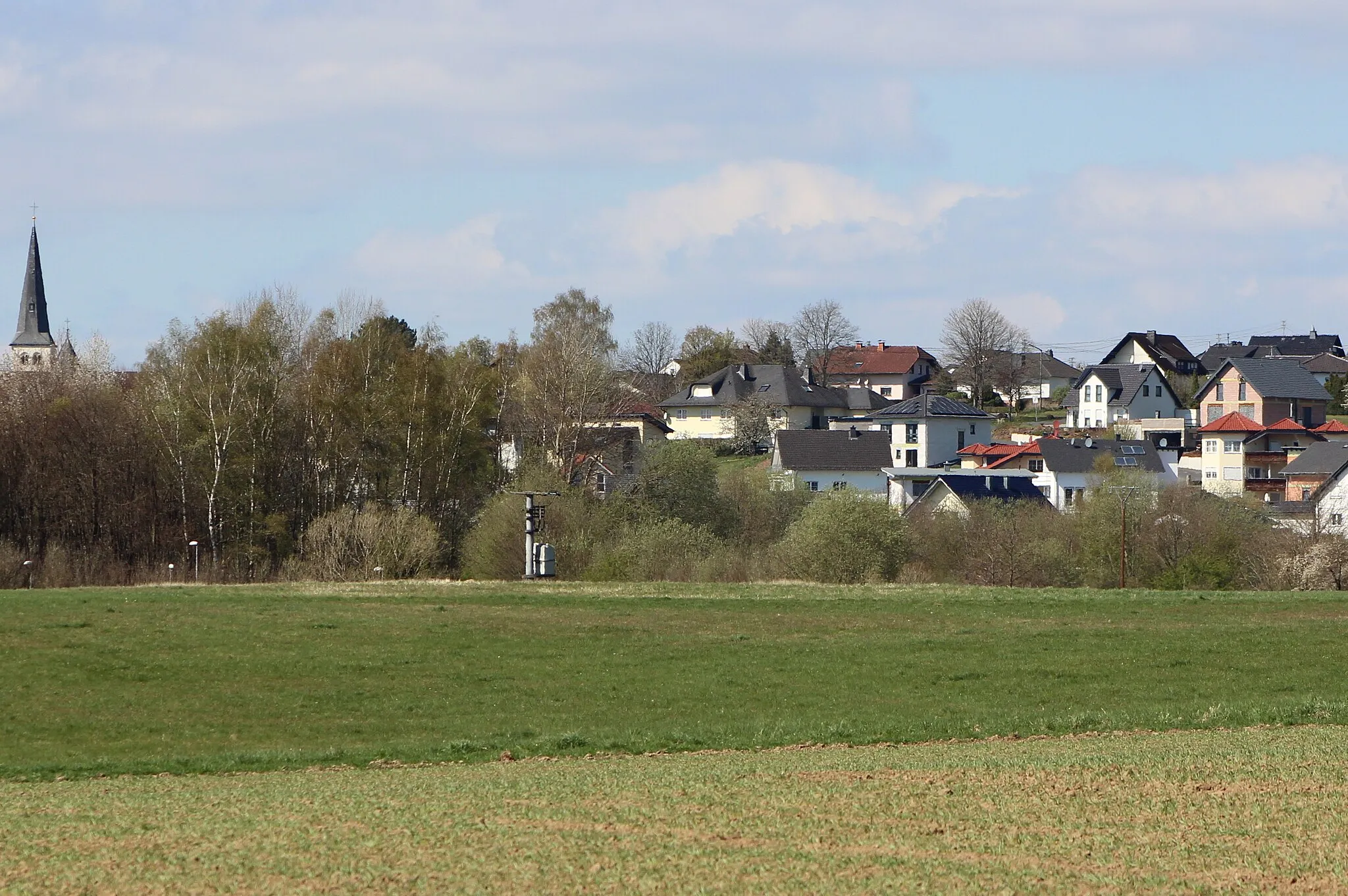
LangenaubachVillageLangenaubach, situated at the 70-kilometer mark, offers a charming village atmosphere with its traditional architecture and inviting local pubs.
82 km
82 km
Höllberg643 mPeakHöllberg, at the 82-kilometer point, rewards you with panoramic vistas of the surrounding valleys and a refreshing break at a rustic mountain inn.
91 km
91 km
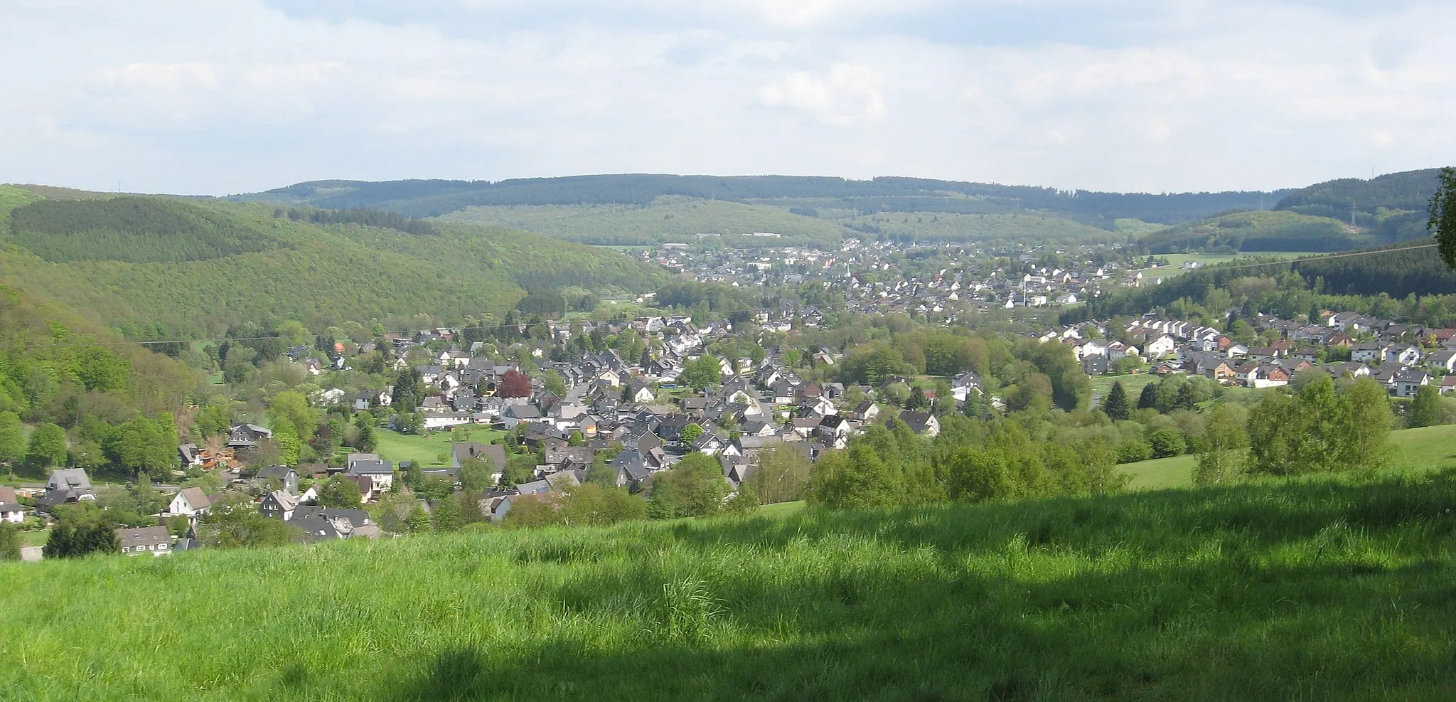
RennerodTownRennerod, a major highlight located 91 kilometers into the route, captivates with its historic castle, vibrant town center, and diverse culinary offerings.
101 km
101 km
Finish: Westerburg City centerWesterburg: Charming Cycling Haven in Koblenz
Cycling routes from Westerburg:
Off the Beaten Path Westerwald Grand Tour Scenic Valley Explorer Westerwald Adventure Discover Hidden Treasures Lochum and Großer Weißenstein Gravel Route Hohenscheid and Limburg an der Lahn Road Route Scenic Berzhahn Gravel Route Lange Issel and Bad Ems Road Route Koblenz and the Moselle Valley Westlicher Hunsrück und Naturparke
Cycling routes nearby: