Challenging Road Tour from Bad Münstereifel
A road cycling route starting from Bad Muenstereifel
A challenging road tour with stunning viewpoints
Map
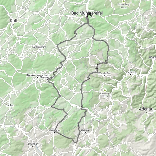
This challenging road tour from Bad Münstereifel takes you through some of the most beautiful landscapes in the region. With a distance of 86km and a significant ascent of 1400m, this tour offers breathtaking viewpoints and a chance to immerse yourself in the natural beauty of the Eifel.
road
86 km
1400 m
Tough
Route profile
Highlights on the route
0 km
0 km
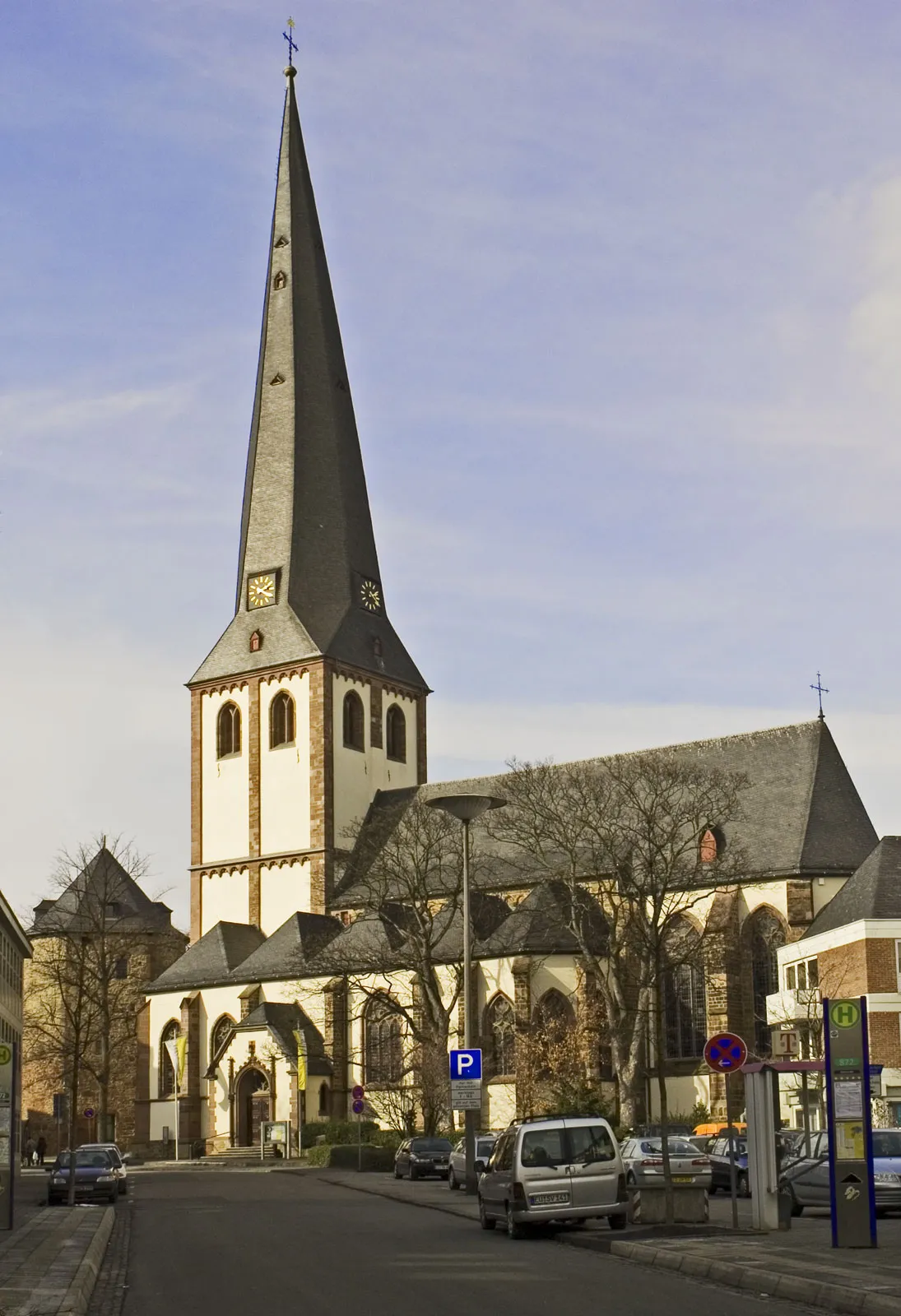
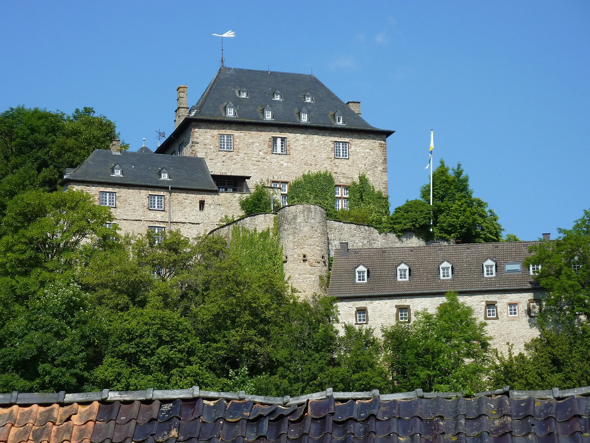
Start: Rodert Village centerBad Münstereifel: Scenic cycling routes and historic medieval town.
Bad Münstereifel is a small town located in Köln, Germany. From a cyclist's perspective, Bad Münstereifel offers a mix of scenic routes, historic charm, and vibrant atmosphere. In this area, cyclists can explore the surrounding nature parks, enchanting forests, and picturesque villages. The town itself has a medieval feel with its well-preserved buildings and cobblestone streets, adding an extra layer of charm to cycling adventures. Well-known cycling spots nearby include the Nürburgring, famous for its challenging race track surrounded by beautiful landscapes. With its variety of cycling options and historic appeal, Bad Münstereifel is a captivating destination for cyclists.5 km
5 km
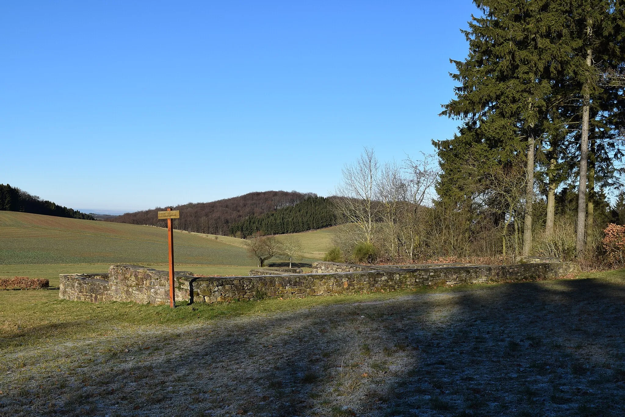
Eierberg402 mPeakThe Eierberg is a stunning viewpoint along the route, offering panoramic vistas of the surrounding countryside.
33 km
33 km
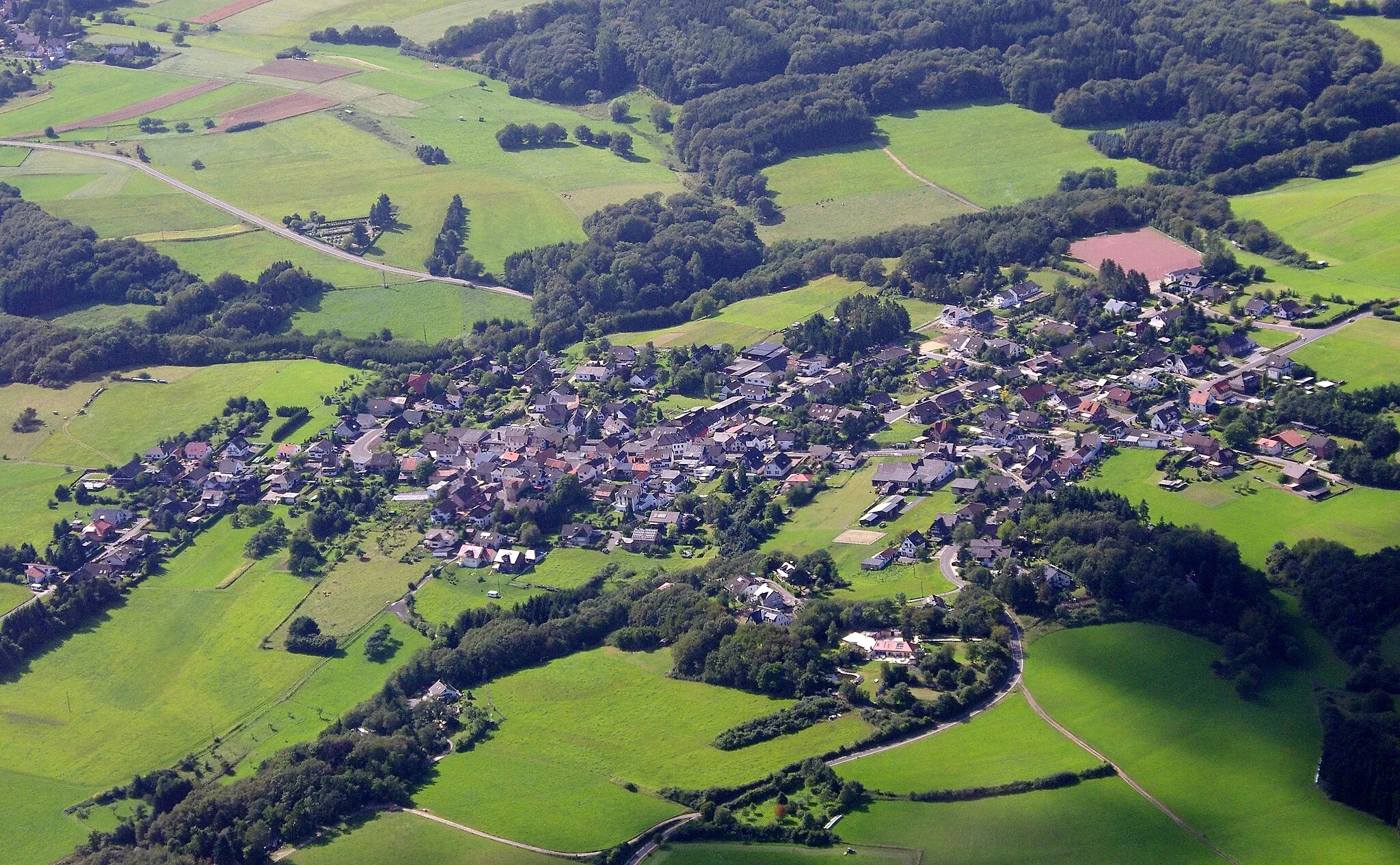
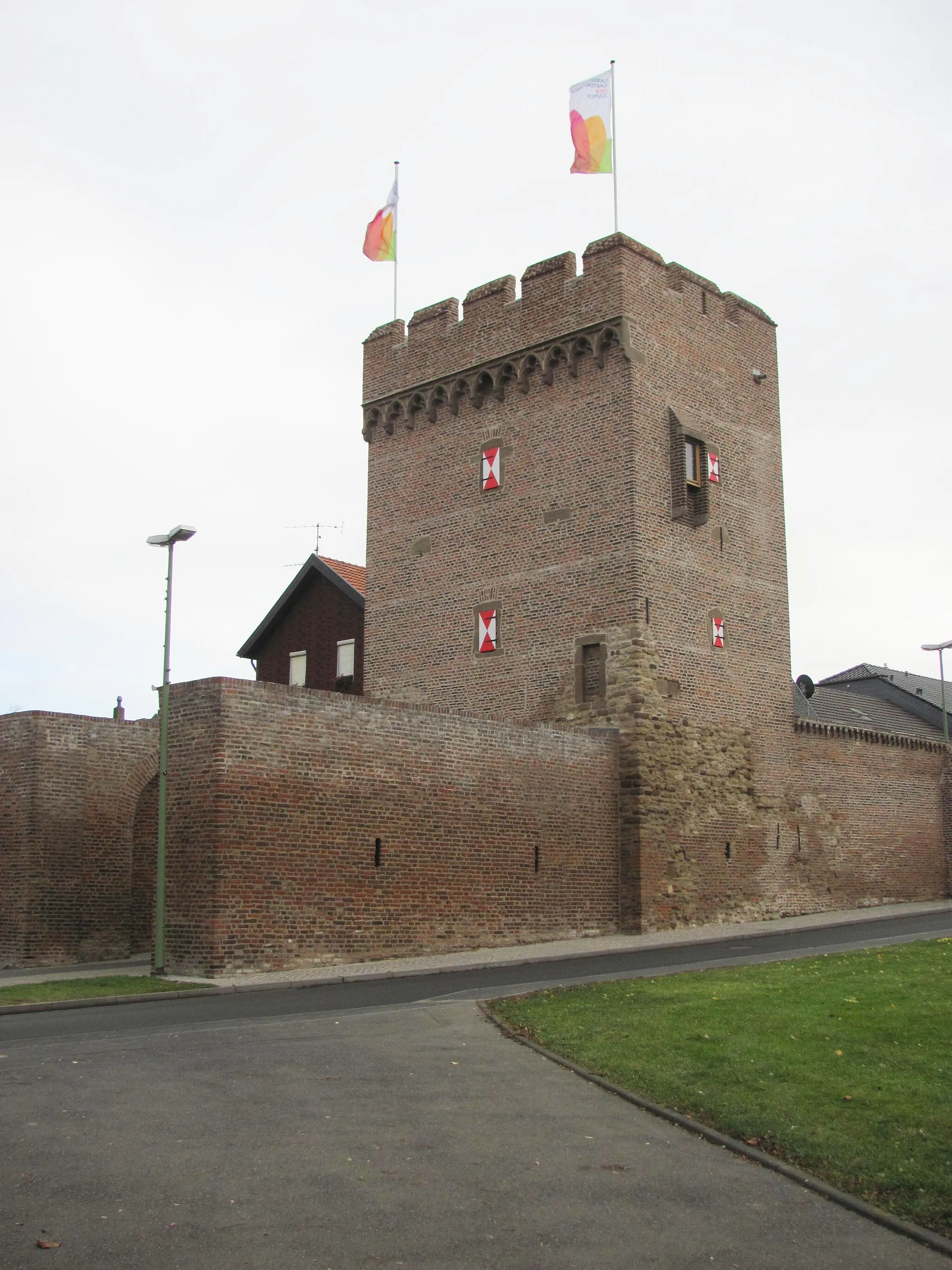
UedelhovenVillageUedelhoven is a small village with traditional half-timbered houses and a charming atmosphere.
40 km
40 km
Höhenberg511 mPeakHöhenberg is a tranquil village surrounded by green hills and rolling meadows.
53 km
53 km
Eifelblick zur Hohen AchtViewpointDon't miss the Eifelblick zur Hohen Acht, a viewpoint that offers unparalleled views of the Hohen Acht mountain.
62 km
62 km
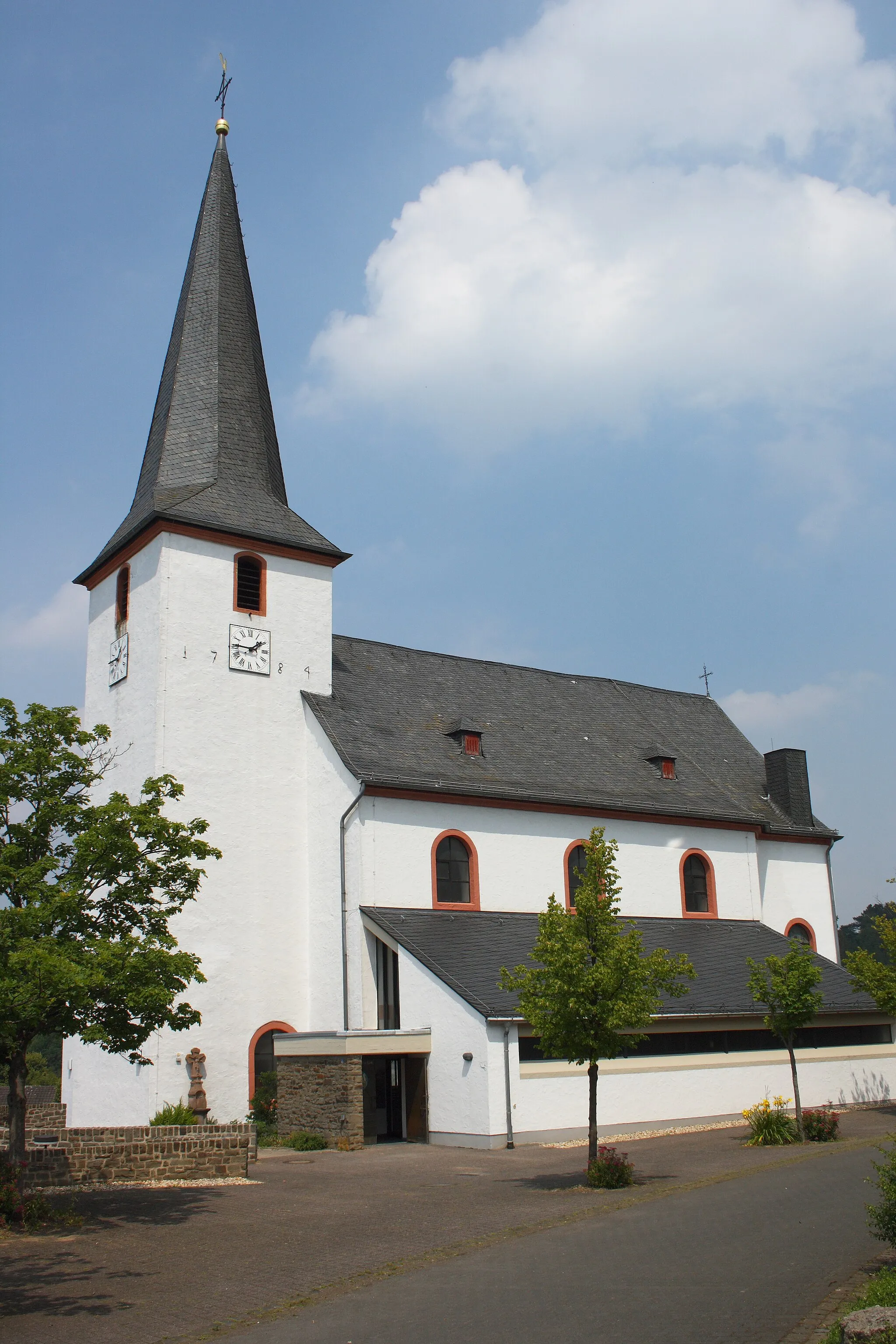
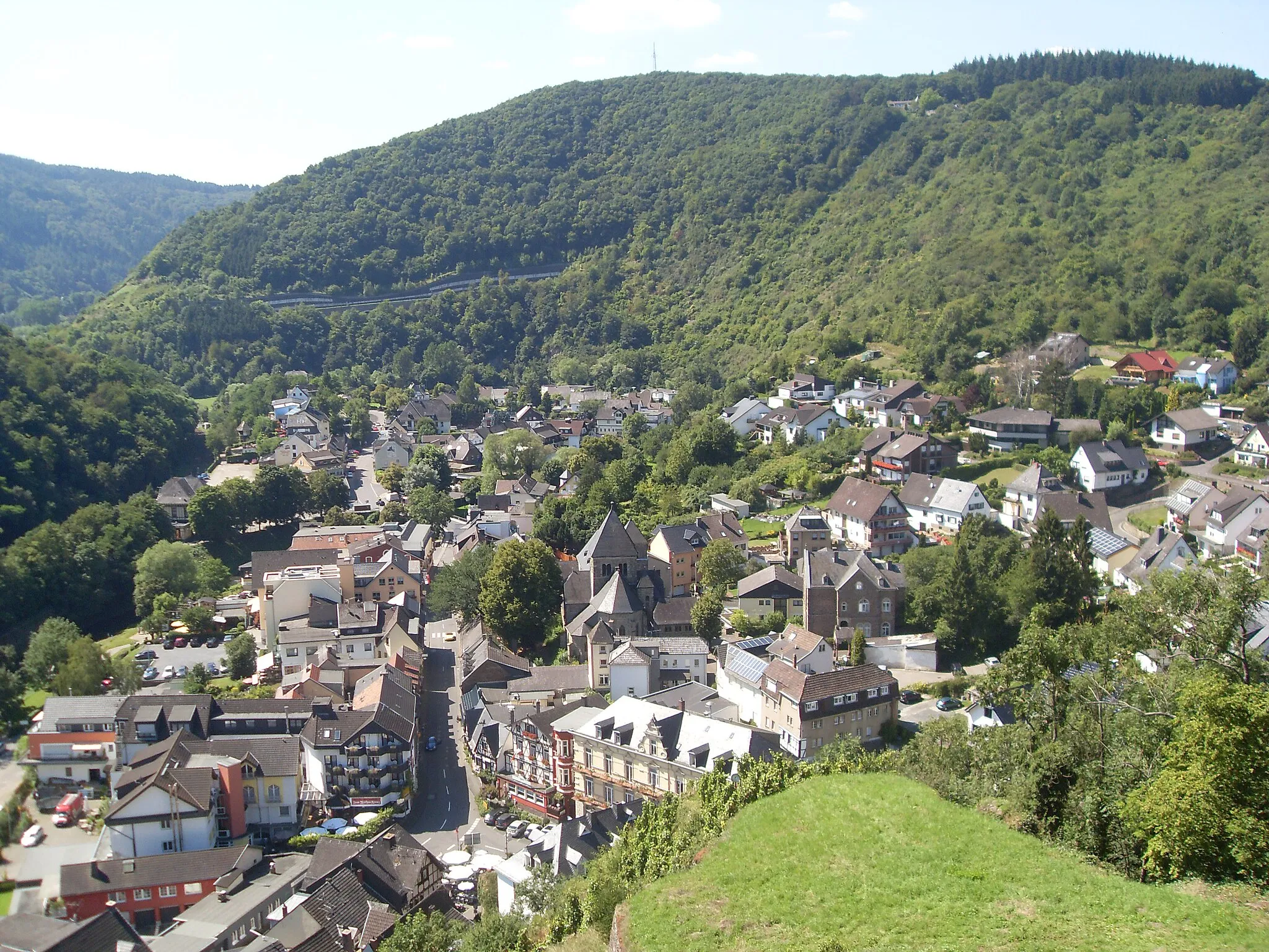
BlankenheimVillageBlankenheim is a picturesque village known for its well-preserved historic center and scenic surroundings.
75 km
75 km
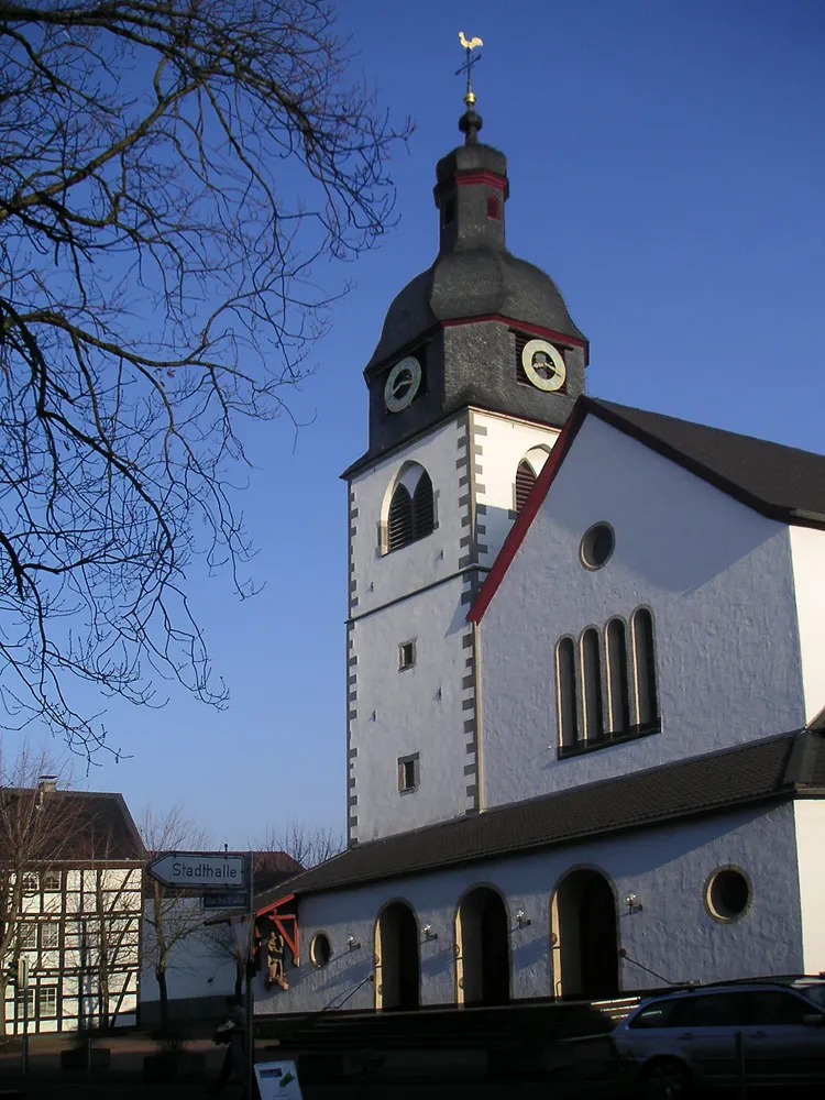
RoderathVillageRoderath is a small village with a peaceful ambiance and beautiful rural landscapes.
84 km
84 km
Wingertsberg347 mPeakEnjoy stunning views from Wingertsberg, a viewpoint that offers a panorama of the picturesque Eifel region.
86 km
86 km
Finish: Rodert Village centerBad Münstereifel: Scenic cycling routes and historic medieval town.
Cycling routes from Bad Muenstereifel:
The Gravel Loop through Bad Münstereifel Scenic Gravel Tour near Bad Münstereifel Bad Münstereifel Gravel Route The Road Adventure in Eifel Region Road Tour of Bad Münstereifel The Gravel Adventure through Engelgau Challenging Road Tour from Bad Münstereifel The Gravel Tour through Eschweiler The Scenic Road Loop near Bad Münstereifel Epic Road Tour with Challenging Climbs
Cycling routes nearby: