The Scenic Road Loop near Bad Münstereifel
A road cycling route starting from Bad Muenstereifel
Discover the scenic beauty of the surrounding landscapes on this picturesque road loop near Bad Münstereifel.
Map
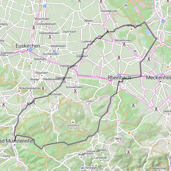
Covering a distance of 57 km with 482 meters of ascent, this road route takes you through beautiful rural areas near Bad Münstereifel. Enjoy peaceful cycling through picturesque towns like Palmersheim and Buschhoven, take in the panoramic views from Römerblick, and experience the tranquility of Merzbach. The highlight of this route is the Martinstuhl, offering stunning vistas and a rewarding climb. Overall, this road loop showcases the scenic beauty and charm of the Eifel region.
road
57 km
482 m
Tough
Route profile
Highlights on the route
0 km
0 km
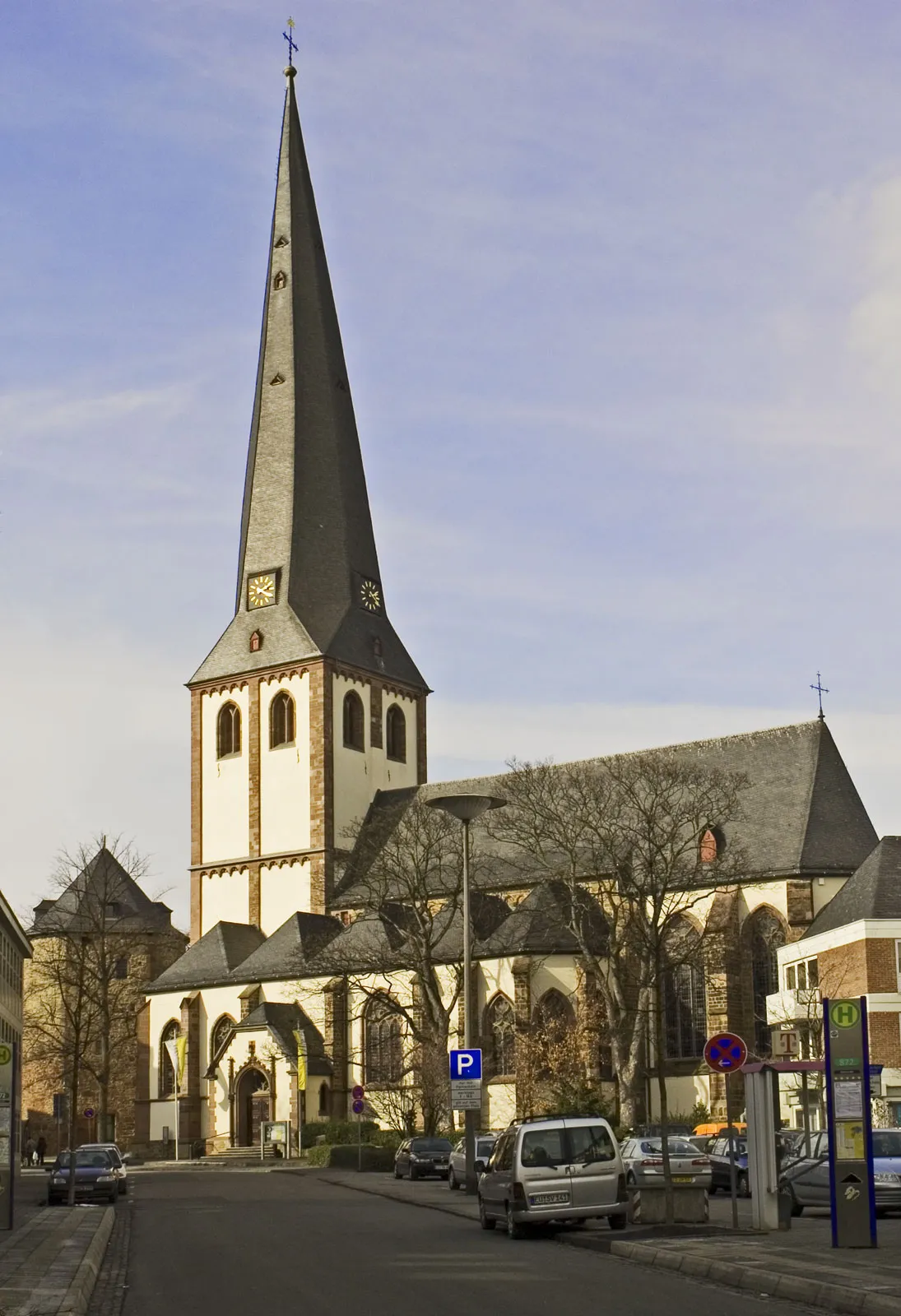
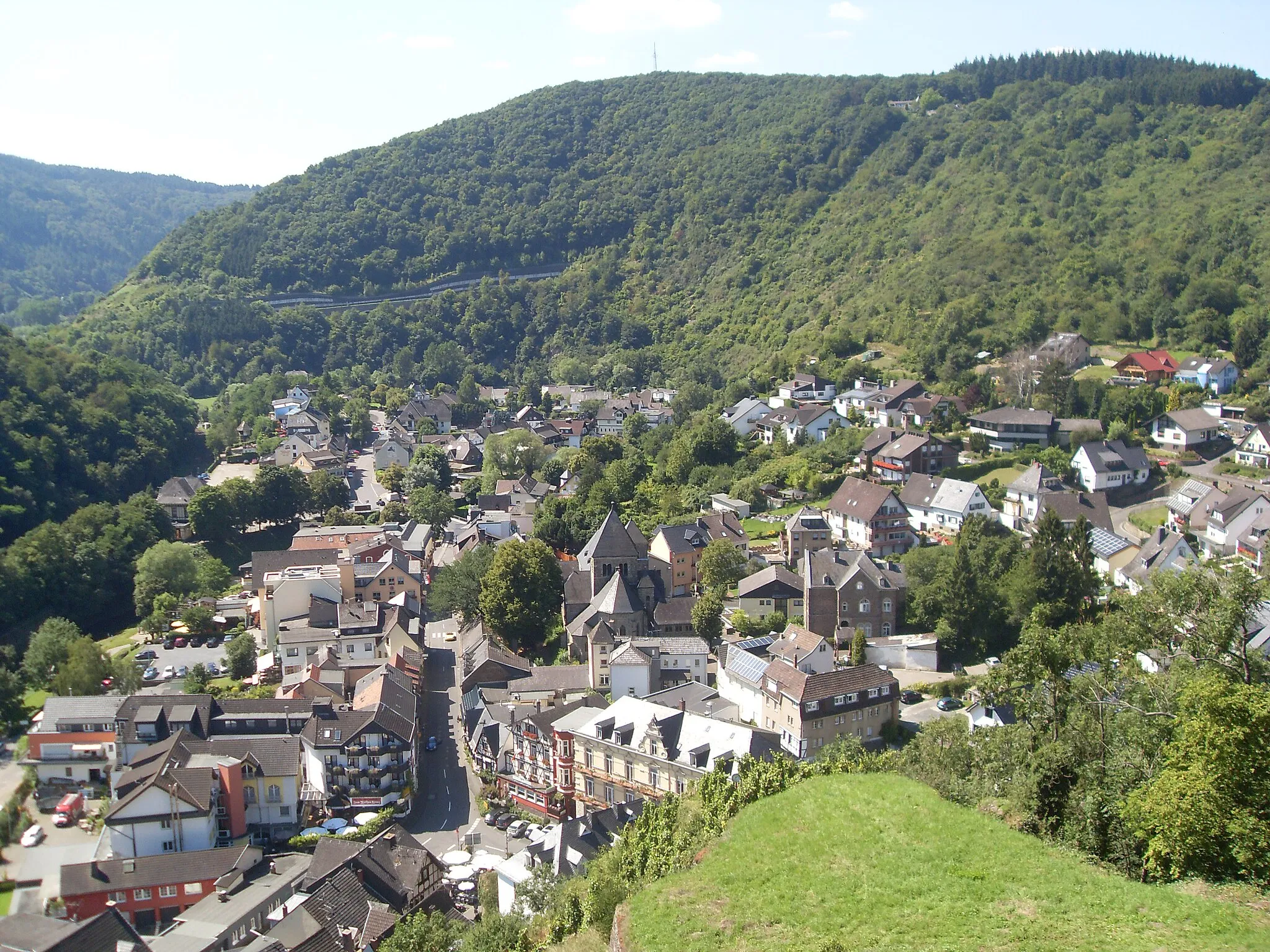
Start: Bad Münstereifel City centerBad Münstereifel: Scenic cycling routes and historic medieval town.
Bad Münstereifel is a small town located in Köln, Germany. From a cyclist's perspective, Bad Münstereifel offers a mix of scenic routes, historic charm, and vibrant atmosphere. In this area, cyclists can explore the surrounding nature parks, enchanting forests, and picturesque villages. The town itself has a medieval feel with its well-preserved buildings and cobblestone streets, adding an extra layer of charm to cycling adventures. Well-known cycling spots nearby include the Nürburgring, famous for its challenging race track surrounded by beautiful landscapes. With its variety of cycling options and historic appeal, Bad Münstereifel is a captivating destination for cyclists.1 km
1 km
Uhlenberg346 mPeakUhlenberg: Although it scores low, the ascent to Uhlenberg offers a challenging climb and beautiful countryside views throughout.
13 km
13 km
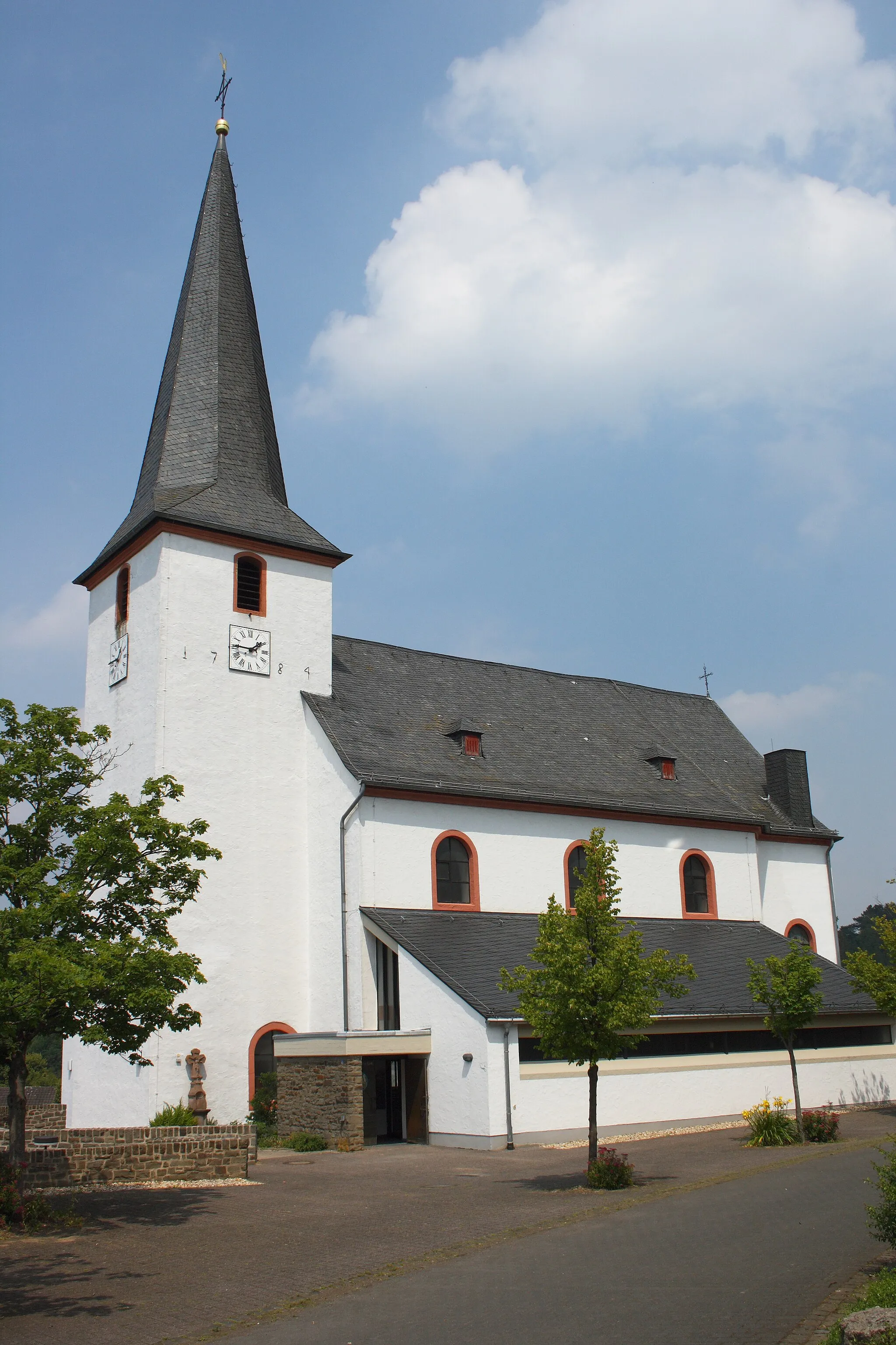
PalmersheimVillagePalmersheim: Explore the idyllic village of Palmersheim, surrounded by rolling hills and picturesque landscapes.
23 km
23 km
RömerblickViewpointRömerblick: Marvel at the panoramic views from Römerblick, a viewpoint overlooking the scenic Eifel region.
24 km
24 km
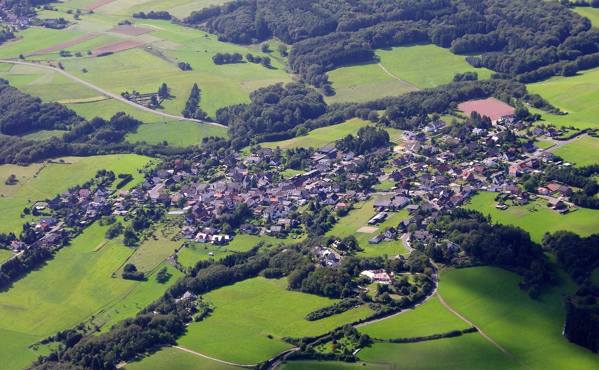
BuschhovenVillageBuschhoven: Enjoy the peaceful atmosphere of Buschhoven while cycling through its charming streets and natural surroundings.
40 km
40 km
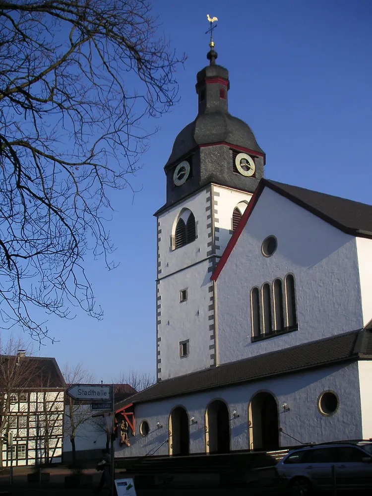
MerzbachVillageMerzbach: Take a break in the tranquil village of Merzbach and soak in the serene beauty of the surrounding landscapes.
43 km
43 km
Blitzenberg392 mPeakBlitzenberg: Ride past the scenic hill of Blitzenberg while enjoying the breathtaking views it offers along the way.
50 km
50 km
Martinstuhl430 mPeakMartinstuhl: Challenge yourself on the climb to Martinstuhl, a summit offering panoramic vistas and a rewarding sense of accomplishment.
57 km
57 km
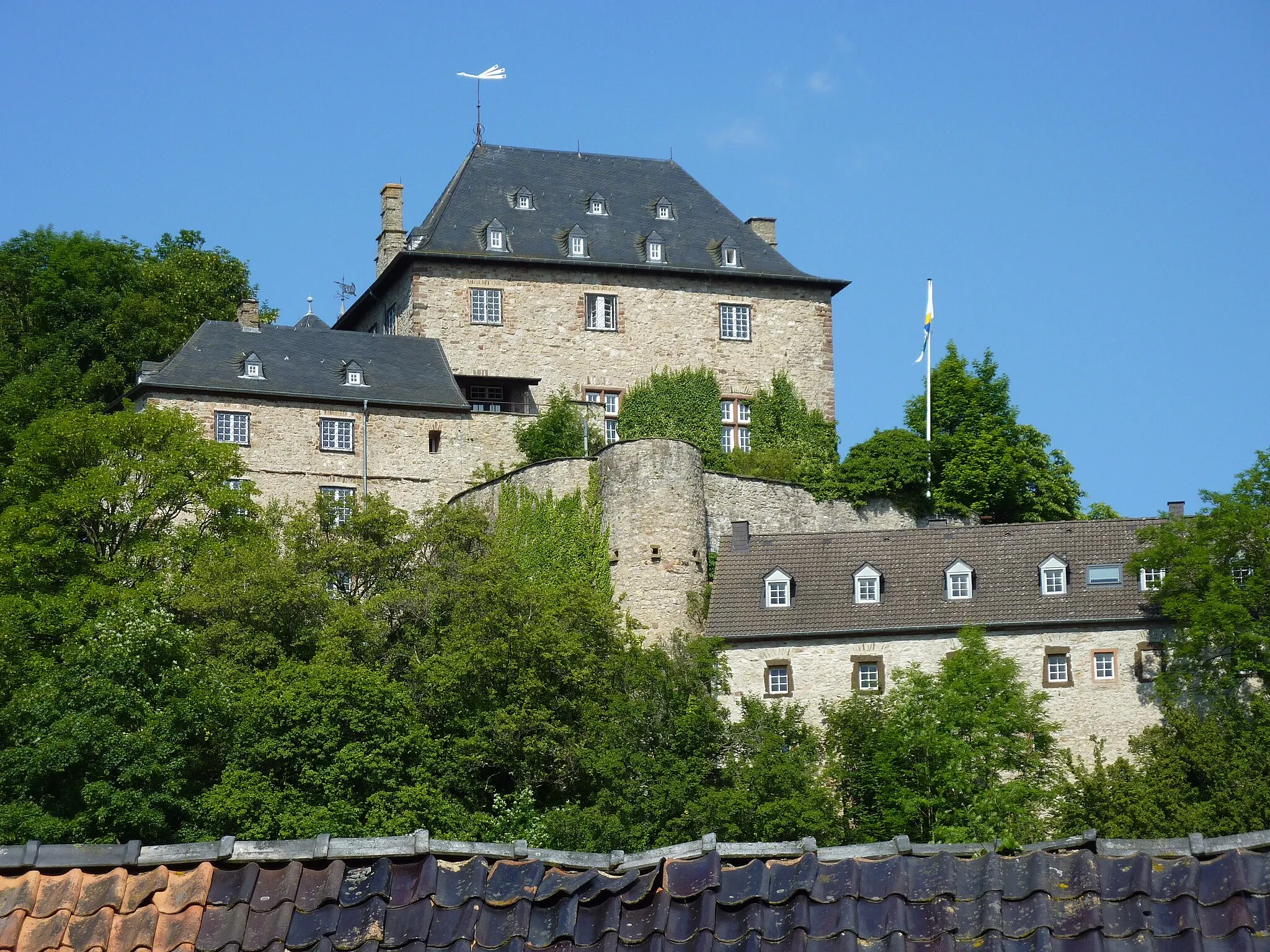
Burg MünstereifelCastleBurg Münstereifel: Conclude your journey with a visit to Burg Münstereifel, which showcases medieval architecture and exhibits.
57 km
57 km
Finish: Bad Münstereifel City centerBad Münstereifel: Scenic cycling routes and historic medieval town.
Cycling routes from Bad Muenstereifel:
The Gravel Loop through Bad Münstereifel Scenic Gravel Tour near Bad Münstereifel Bad Münstereifel Gravel Route The Road Adventure in Eifel Region Road Tour of Bad Münstereifel The Gravel Adventure through Engelgau Challenging Road Tour from Bad Münstereifel The Gravel Tour through Eschweiler The Scenic Road Loop near Bad Münstereifel Epic Road Tour with Challenging Climbs
Cycling routes nearby: