Aggertal Classic
A road cycling route starting from Deutz
Explore the scenic landscapes of the Aggertal Valley
Map
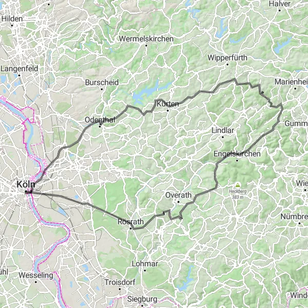
The Aggertal Classic is a road cycling route that covers a distance of 112 km and includes a total ascent of 1478 meters. This challenging route takes you through picturesque villages, lush forests, and rolling hills. Highlights along the route include the iconic Hohenzollern Bridge in Cologne and the scenic town of Odenthal with its historical buildings and charming atmosphere. Cycling enthusiasts will enjoy the panoramic views from Grube Cox and Bärbroich and the beautiful Aggertal Valley. The Aggertal Classic provides a rewarding cycling experience for those seeking a challenging and scenic route.
road
112 km
1478 m
Tough
Route profile
Highlights on the route
0 km
0 km
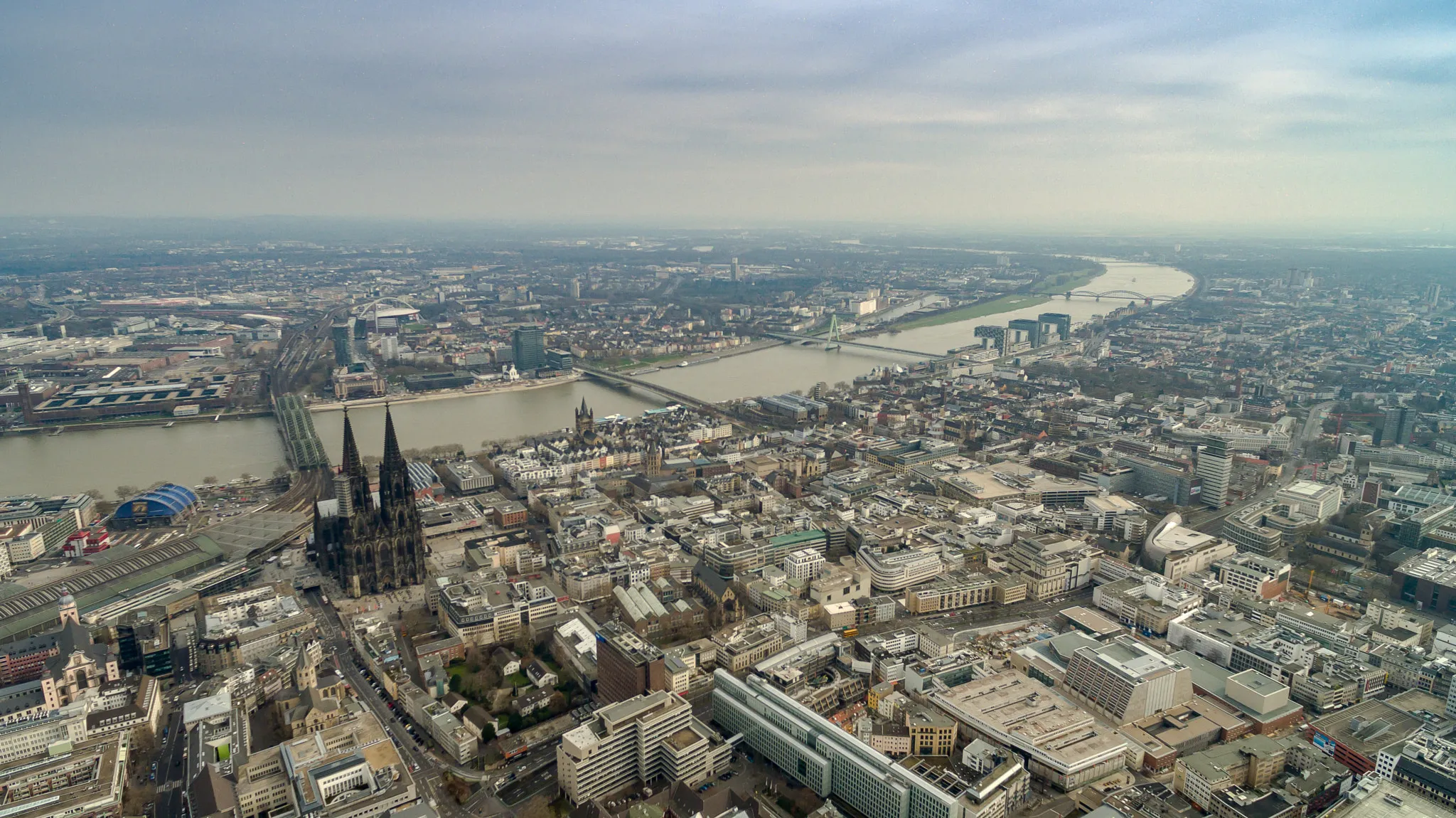
Start: Köln City centerDeutz: Exploring Cologne on two wheels.
Deutz is a neighborhood located in Cologne, Germany. While not specifically known for its cycling routes, Deutz provides cyclists with access to the wider network of cycling paths in the city. Cyclists can explore the streets of Cologne and enjoy the sights and sounds of this vibrant German city. Deutz also offers easy access to the famous Kölnarena, a popular spot for cycling events and races. With its central location and proximity to other cycling-friendly areas in Cologne, Deutz can be a convenient base for cyclists looking to explore the city and its surrounding regions.1 km
1 km
HohenzollernbrückeViewpointThe Hohenzollern Bridge in Cologne offers a stunning view of the city skyline and is a perfect spot for photographs.
16 km
16 km
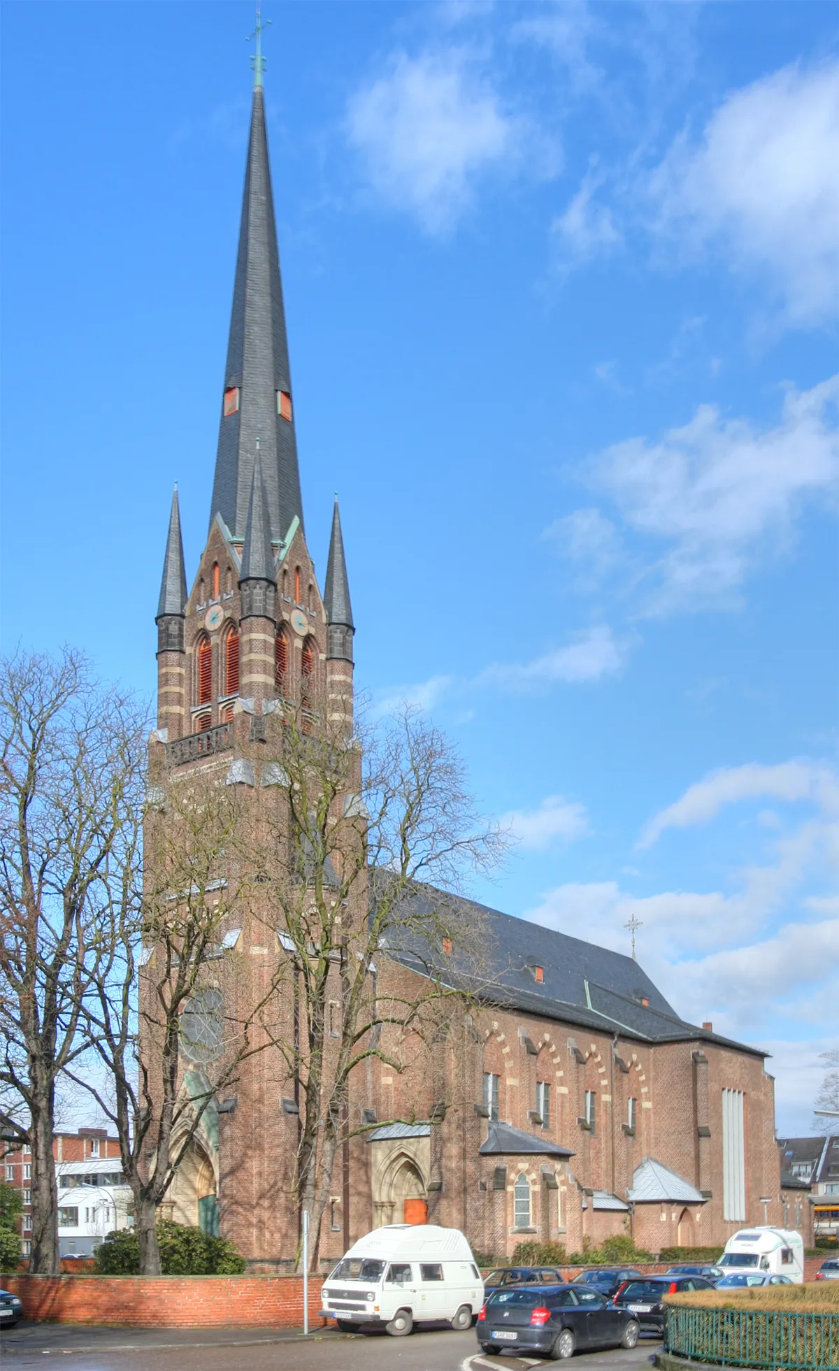
OdenthalTownOdenthal is a picturesque town known for its medieval castle and beautiful historical buildings.
32 km
32 km
KürtenTownKürten is a charming village with a welcoming atmosphere and traditional German architecture.
41 km
41 km
Gumpe272 mPeakGumpe is a natural monument with stunning rock formations and breathtaking views of the Aggertal Valley.
50 km
50 km
Steinberg376 mPeak ViewpointSteinberg is a scenic hill overlooking the Aggertal Valley, offering panoramic views of the surrounding landscapes.
52 km
52 km
Schloss GimbornCastleSchloss Gimborn is a historic castle surrounded by picturesque gardens and parkland.
67 km
67 km
EngelskirchenTownEngelskirchen is a charming town with traditional timber-framed houses and narrow streets.
69 km
69 km
Huhhardt281 mPeakHuhhardt is a hill with stunning views of the Aggertal Valley, popular among hikers and nature lovers.
78 km
78 km
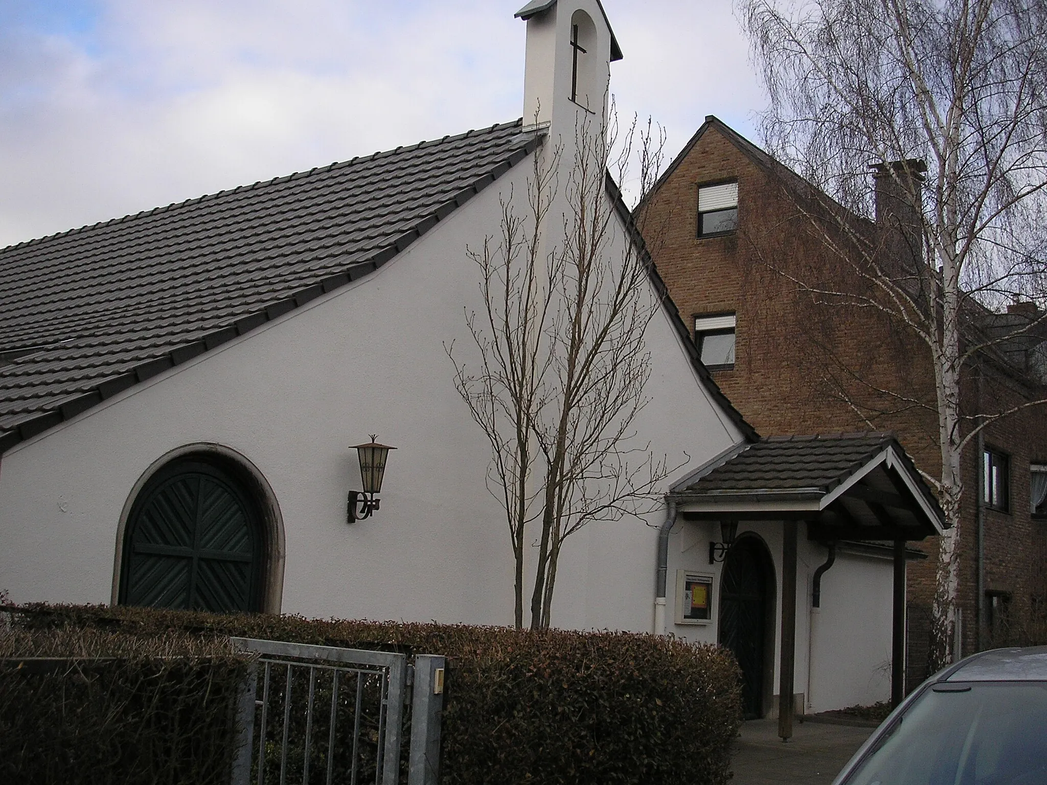
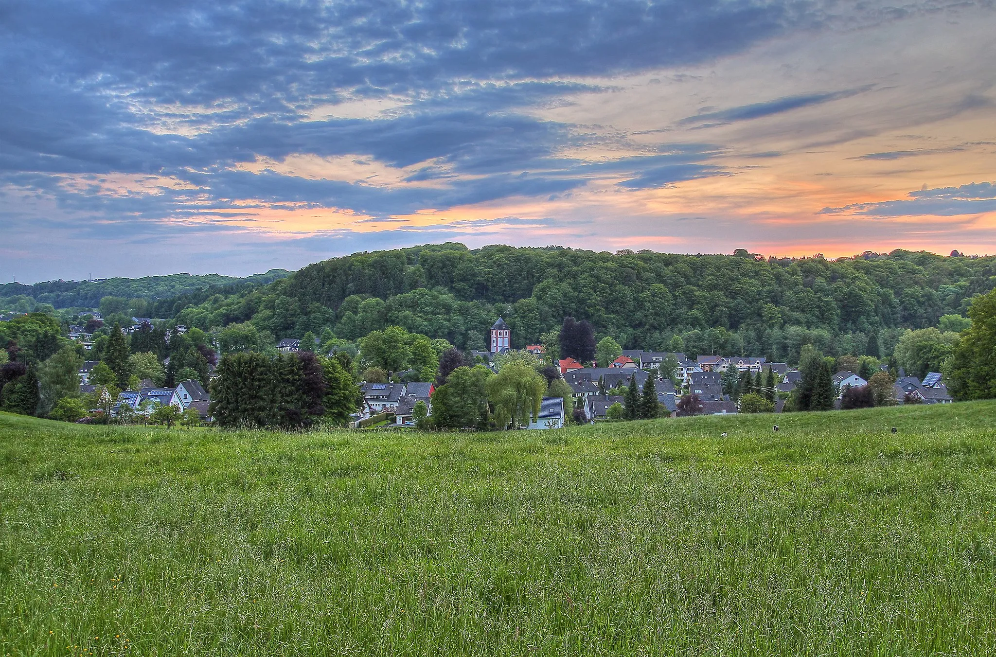
MarialindenVillageMarialinden is a small village with a beautiful church and scenic surroundings.
83 km
83 km
AggertalViewpointAggertal is a picturesque valley with rolling hills and charming villages dotted along the river.
94 km
94 km
RösrathTownRösrath is a historical town with well-preserved buildings and a vibrant cultural scene.
111 km
111 km
DeutzSub-urbDeutz is a vibrant neighborhood in Cologne known for its modern architecture and vibrant nightlife.
112 km
112 km
Finish: Köln City centerDeutz: Exploring Cologne on two wheels.
Cycling routes from Deutz:
Cologne Hills and Valleys Gravel Adventure through Cologne Hürth and Beyond Gravel Adventure through the Countryside Deutz Along the Rhine Ahrweiler Round-Trip Aggertal Classic Leverkusen Gravel Adventure Forest Trail Adventure Gravel Route to Köln Triangle The Gravel Adventure Exploring Cologne's Gravel Trails
Cycling routes nearby: