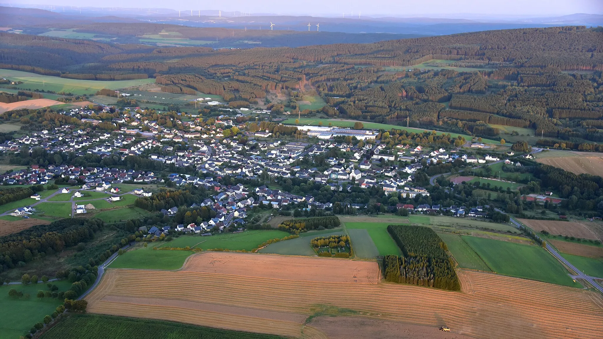
Urban and suburban cycling paradise
Cycling routes from Bayenthal
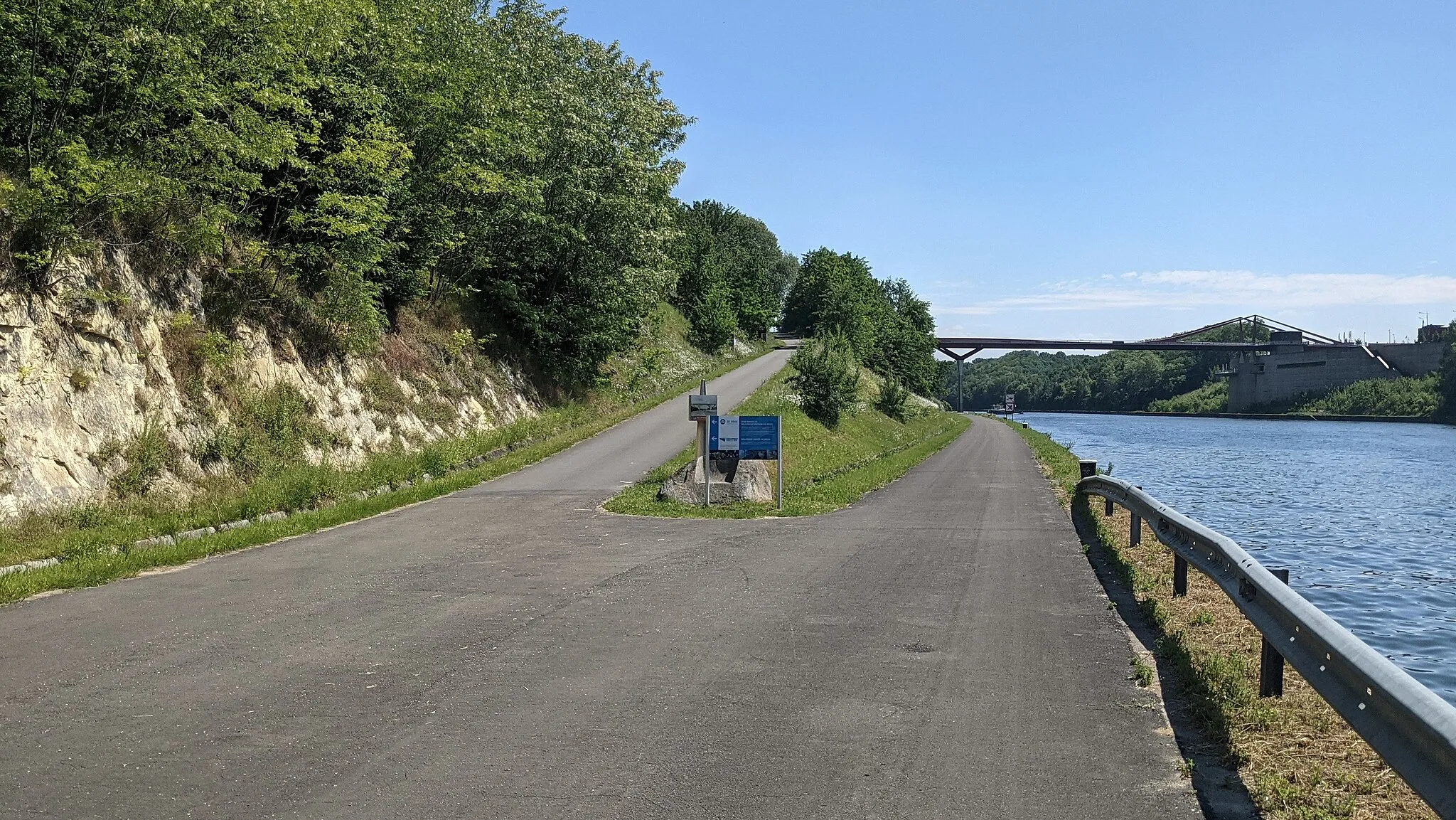
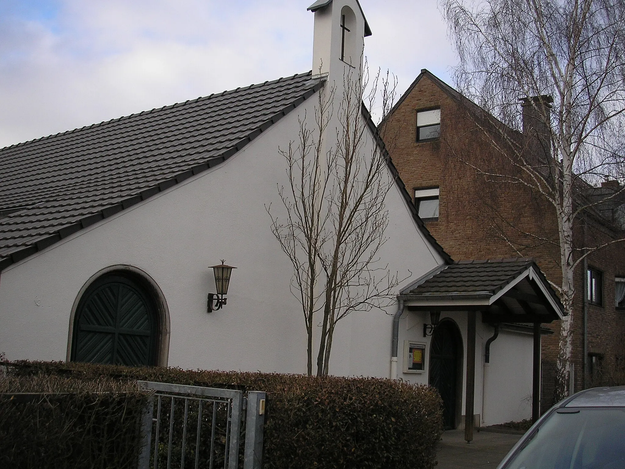
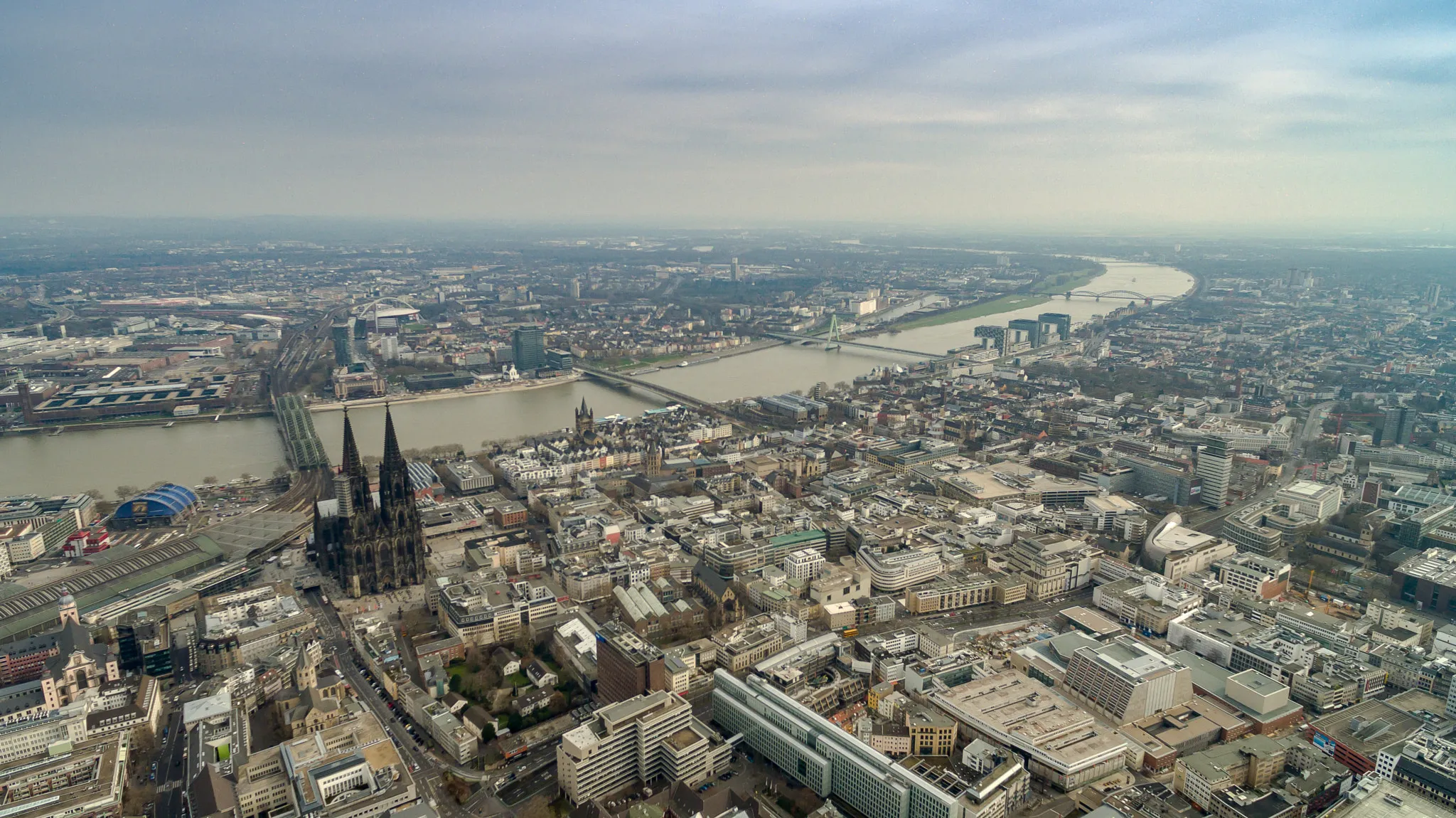
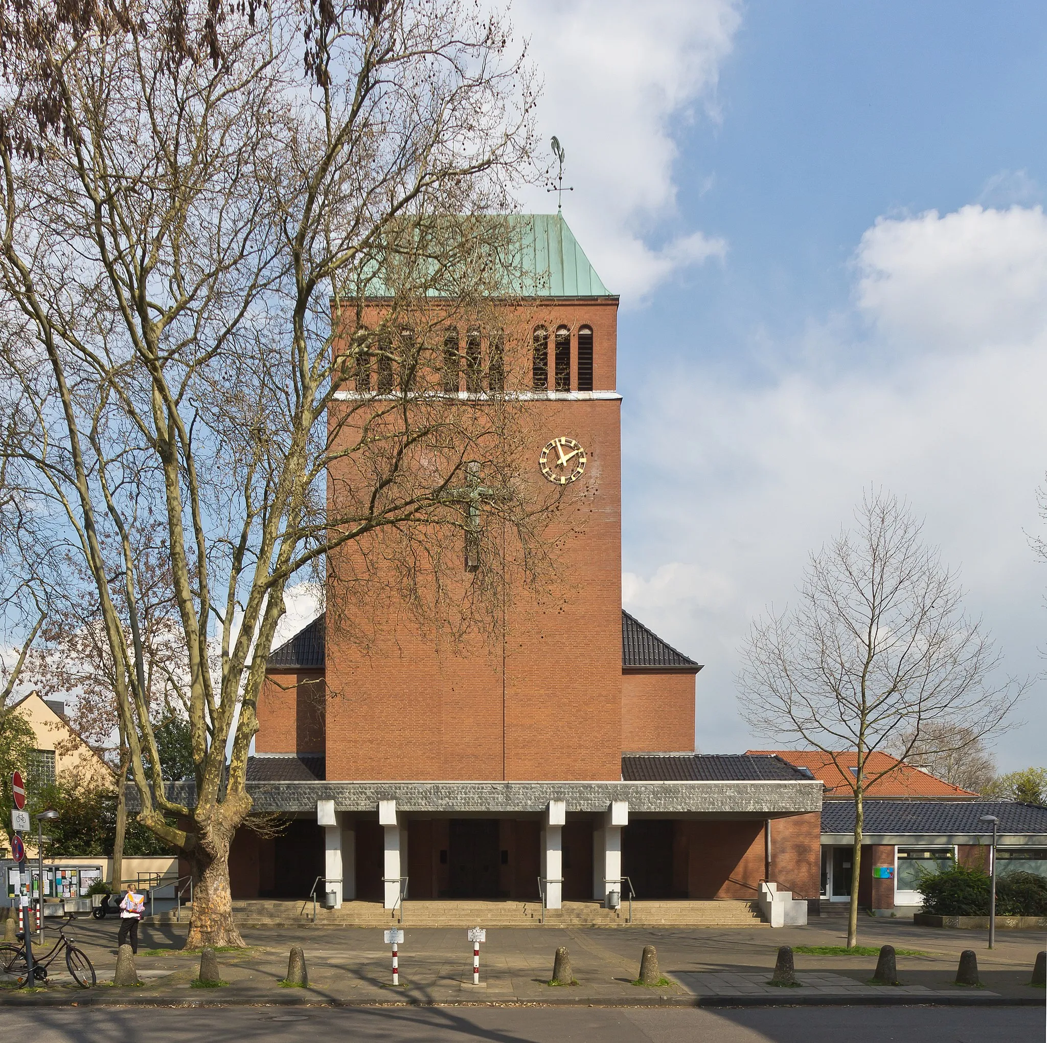
Bayenthal is a locality in Cologne, Germany. From a cyclist's perspective, Bayenthal offers a mix of urban and suburban cycling routes. There are well-marked bike lanes and paths, making it a safe and accessible area for cyclists. Bayenthal is located near the famous cycling spot of Rheinuferweg, a scenic riverside path perfect for leisurely rides. Overall, Bayenthal provides a convenient and enjoyable cycling experience for both road and gravel cyclists.
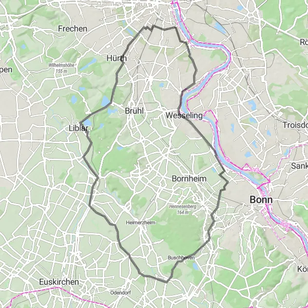
Embark on a scenic road journey through Bayenthal and beyond
This road route offers a diverse biking experience, taking you through charming neighborhoods, beautiful countryside, and historic landmarks. With a moderate difficulty level, it is suitable for well-trained amateur cyclists. Start your journey by crossing the iconic Südbrücke bridge, offering stunning views of the Rhine River. Explore the town of Wesseling with its charming old town and historic buildings. Admire the natural beauty at Buschhoven, a tranquil village nestled amidst rolling hills. Make a stop at Weilerswist, a picturesque town with quaint streets and traditional half-timbered houses. Experience the vibrant city of Hürth with its lively atmosphere and various cultural attractions. Enjoy another visit to Raderthal for its distinct charm.
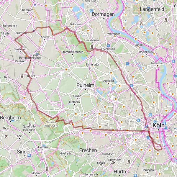
Embark on a gravel adventure to Königsdorf's hidden gems
Experience a thrilling gravel cycling route from Bayenthal to Königsdorf covering a distance of 77 kilometers with an elevation gain of 276 meters. This challenging route takes you through Rommerskirchen, Schloss Arff, Bilderstöckchen, and Herkulesberg. Immerse yourself in nature and unlock the secret treasures of Königsdorf along the way.

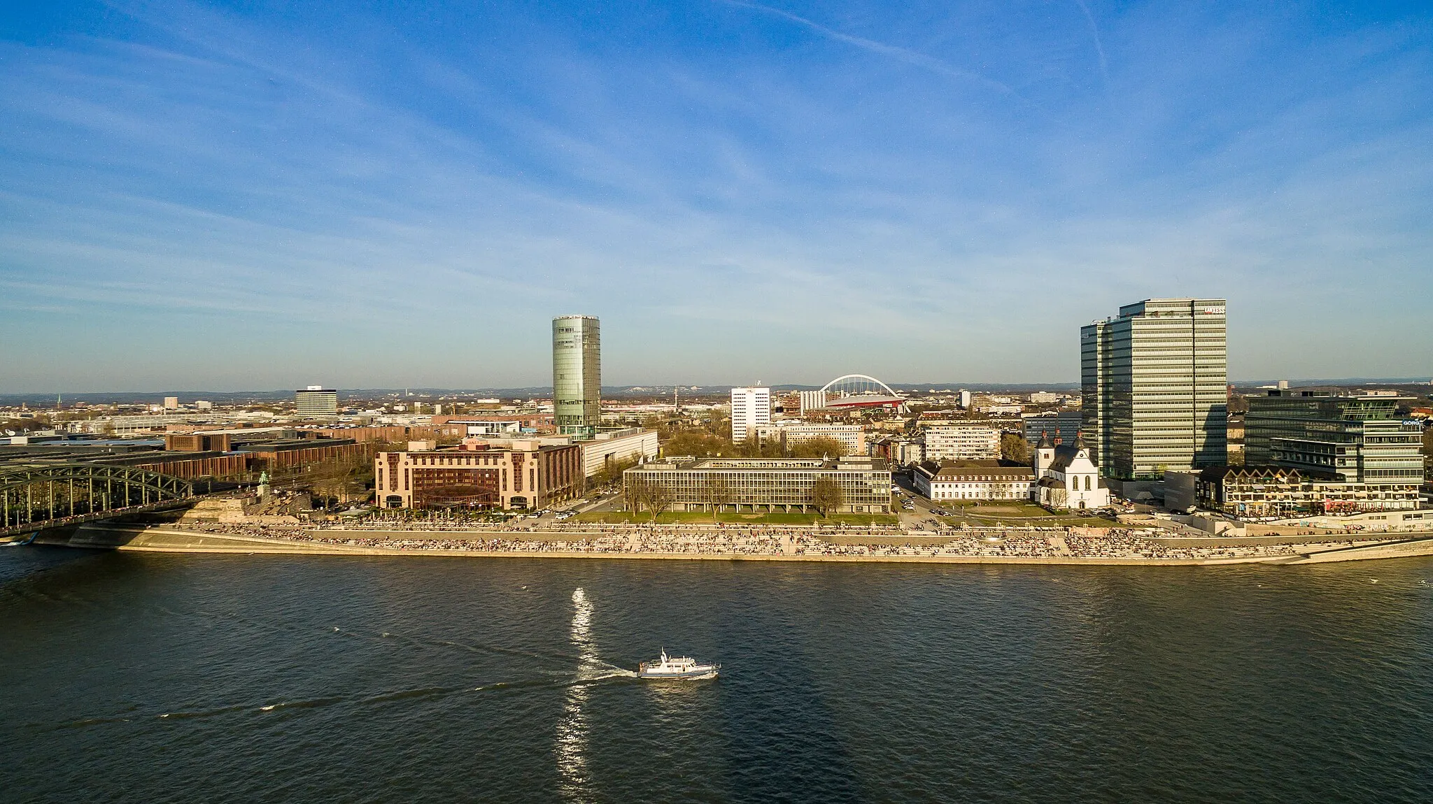
Experience the beauty of the Rhine river and the vibrant city of Cologne
This round-trip cycling route starting near Bayenthal takes you on a scenic journey along the Rhine river and through the lively city of Cologne. With a total distance of 133 kilometers and an elevation gain of 1585 meters, this route offers a challenging yet rewarding experience for cyclists.

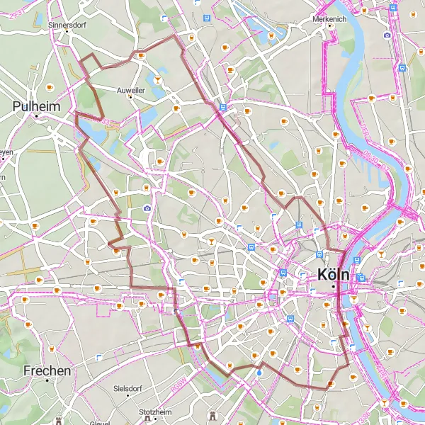
EmbARK ON AN EPIC GRAVEL ADVENTURE
Embark on an epic gravel adventure starting near Bayenthal and covering a distance of 56 kilometers with an elevation gain of 195 meters. This challenging route takes you through Raderthal, Liblar, Lechenich, Wilhelmshöhe, Dreizehn-Linden-Platz, and ends at Ulrepforte. Experience breathtaking natural landscapes and discover cultural gems along the way.
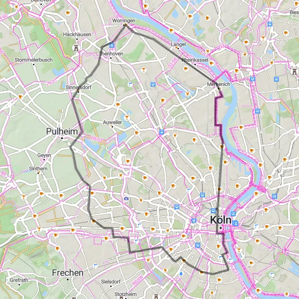
Southbound Journey to Zollstock
Explore the scenic beauty of Zollstock
Embark on a southbound gravel journey starting from Bayenthal towards Zollstock. With a distance of 45 kilometers and an elevation gain of 129 meters, this route offers a mix of urban and natural landscapes. The highlight of the route is Zollstock, where you can immerse yourself in the local culture and enjoy the beautiful surroundings.
Bayenthal Loop Explorations
Discover the beauty of Bayenthal on this scenic road cycling journey
Embark on a scenic road cycling adventure from Bayenthal covering a distance of 51 kilometers with an elevation gain of 93 meters. This route takes you through Zollstock, Orr, Roggendorf, Nippes, and ends at the iconic Südbrücke. Enjoy the diverse landscapes, historic sites, and vibrant neighborhoods along the way.
Gravel Loop Around Bayenthal
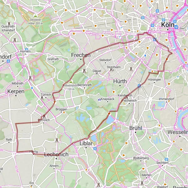
Explore the gravel roads around Bayenthal
This gravel route takes you on a scenic journey through picturesque villages and beautiful landscapes. With a moderate difficulty level, this route is perfect for amateur cyclists looking for a challenge. Marvel at the Raderthal, a historic neighborhood known for its unique architecture. Visit Schloss Gracht, a stunning castle set amidst lush greenery. Make a stop at Gymnich, a charming village with a rich history. Admire the panoramic views from Wilhelmshöhe, a hilltop with a beautiful lookout point. Explore the city of Frechen and its charming streets. Enjoy a refreshing break at Dreizehn-Linden-Platz, a popular meeting place for locals.
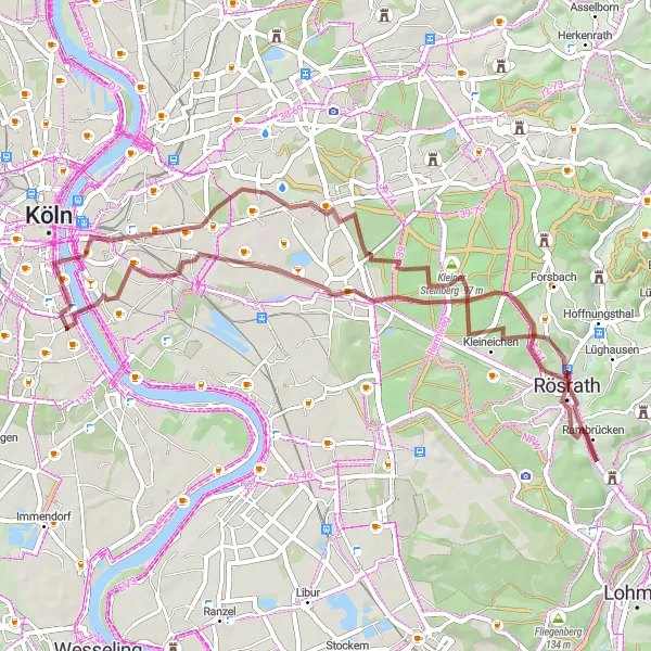
Embark on a challenging gravel adventure to Rösrath
This gravel route takes you on a thrilling adventure through varied terrains and stunning landscapes. With a moderate difficulty level, it is recommended for cyclists with good endurance and off-road biking skills. Begin your journey by crossing the iconic Südbrücke bridge with scenic views of the Rhine River. Explore the Vingst neighborhood, known for its charming streets and cozy cafes. Discover Rösrath, a town surrounded by picturesque nature and idyllic vineyards. Marvel at the Großer Steinberg, a large hill offering panoramic views of the surrounding countryside. Visit the Köln Triangle, a modern landmark featuring a rooftop observation deck with stunning views of the city skyline. End your journey in Cologne, a vibrant city with a rich history and an abundance of cultural attractions.
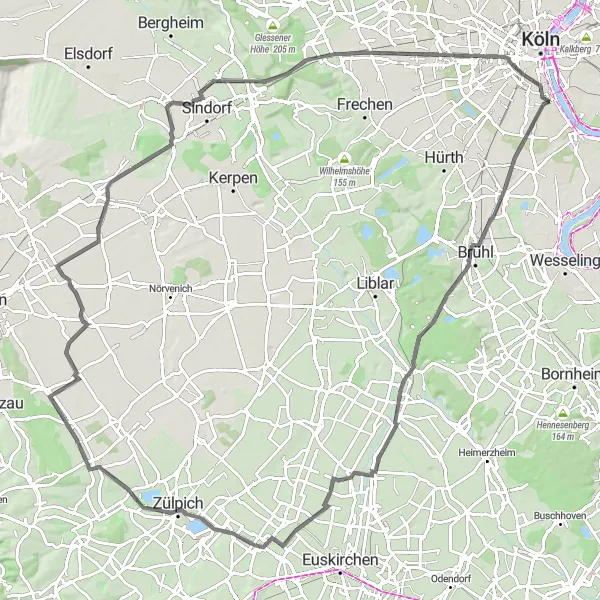
Embark on a scenic road journey to the historic town of Brühl
This road route takes you on a picturesque journey through quaint towns, beautiful nature, and historic landmarks. With a moderate to challenging difficulty level, it is suitable for well-trained amateur cyclists with good endurance. Explore Brühl, a charming town known for its historical architecture and the famous UNESCO World Heritage Site, Brühl Palace. Admire the natural beauty of Weilerswist, a town surrounded by lush green landscapes and open fields. Discover Lommersum, a quaint village with traditional half-timbered houses and a peaceful atmosphere. Visit the Römerbastion in Froitzheim, a well-preserved Roman fortress with a fascinating history. Marvel at the stunning Golzheim Castle, a grand palace nestled amidst beautiful gardens. Explore the idyllic Burg Hemmersbach, a medieval castle showcasing the region's rich heritage. Make a stop at Dreizehn-Linden-Platz, a picturesque square surrounded by charming cafes, perfect for a relaxing break during the ride. End your journey at the Severinstorburg, a historic gate serving as a connection between the past and the present in Cologne.
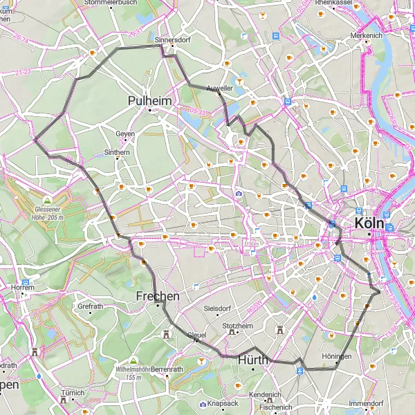
Navigate through the outskirts of Cologne on a road cycling adventure
Experience a scenic road cycling route of 57 kilometers with an elevation gain of 136 meters, taking you through the outskirts of Cologne. This route is perfect for road cycling enthusiasts looking to explore the surrounding areas of the city. Highlights along the way include Hürth, Frechen, Stommeln, Auweiler, Bickendorf, and Ulrepforte.
Cycling routes nearby:


Nearby regions: