Bayenthal - Köln Round-Trip Cycling Route
A road cycling route starting from Bayenthal
Experience the beauty of the Rhine river and the vibrant city of Cologne
Map

This round-trip cycling route starting near Bayenthal takes you on a scenic journey along the Rhine river and through the lively city of Cologne. With a total distance of 133 kilometers and an elevation gain of 1585 meters, this route offers a challenging yet rewarding experience for cyclists.
road
133 km
1585 m
Tough
Route profile
Highlights on the route
0 km
0 km
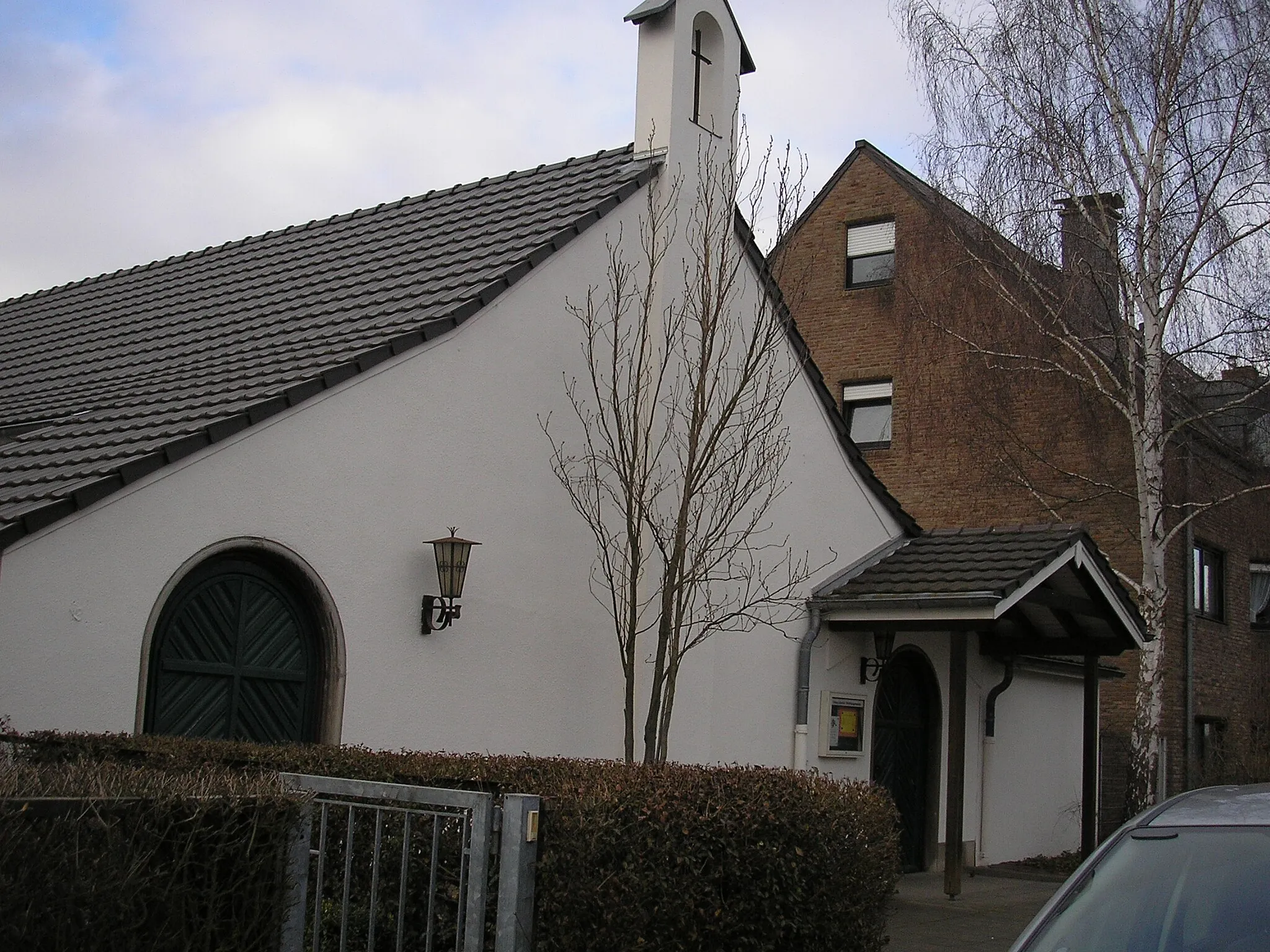
Start: Locality centerBayenthal: Urban and suburban cycling paradise
Bayenthal is a locality in Cologne, Germany. From a cyclist's perspective, Bayenthal offers a mix of urban and suburban cycling routes. There are well-marked bike lanes and paths, making it a safe and accessible area for cyclists. Bayenthal is located near the famous cycling spot of Rheinuferweg, a scenic riverside path perfect for leisurely rides. Overall, Bayenthal provides a convenient and enjoyable cycling experience for both road and gravel cyclists.3 km
3 km
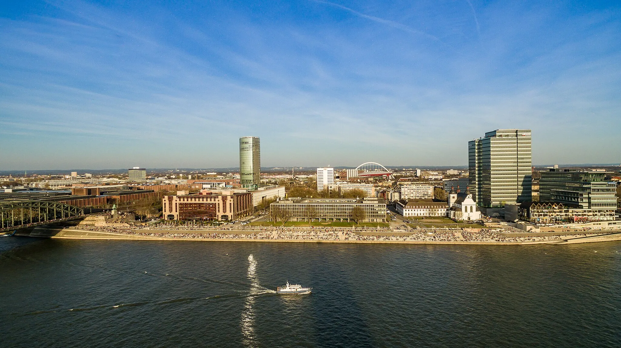
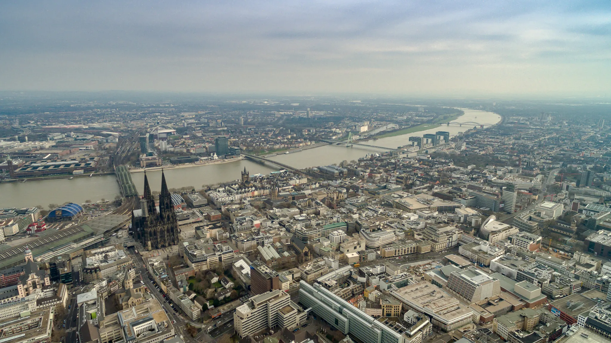
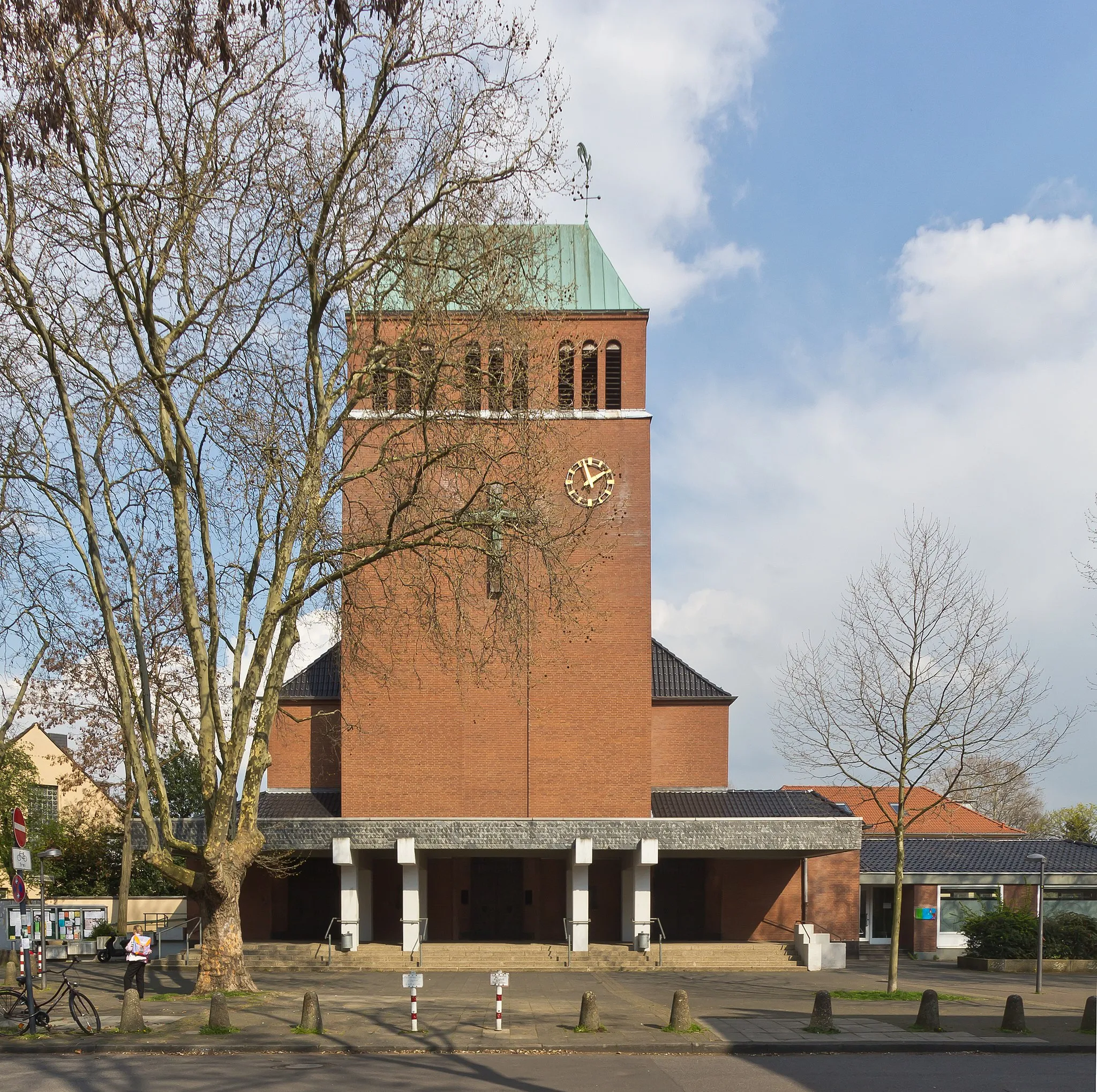
CologneCityCologne is a historic city with a rich cultural heritage. Explore its iconic landmarks such as the Cologne Cathedral and the Old Town with its narrow cobblestone streets.
4 km
4 km
HohenzollernbrückeViewpointCross the Hohenzollern Bridge, a famous landmark of Cologne, and enjoy stunning views of the city skyline and the Rhine river.
16 km
16 km
SchlebuschSub-urbPass through the picturesque town of Schlebusch with its charming half-timbered houses and beautiful surroundings.
20 km
20 km
Herberg117 mPeakStop by Herberg, a tranquil village with delightful cafés and restaurants, perfect for a well-deserved break.
41 km
41 km
Müngstener BrückeAttractionMarvel at the Müngstener Bridge, the highest railway bridge in Germany, and enjoy breathtaking views of the surrounding landscape.
41 km
41 km
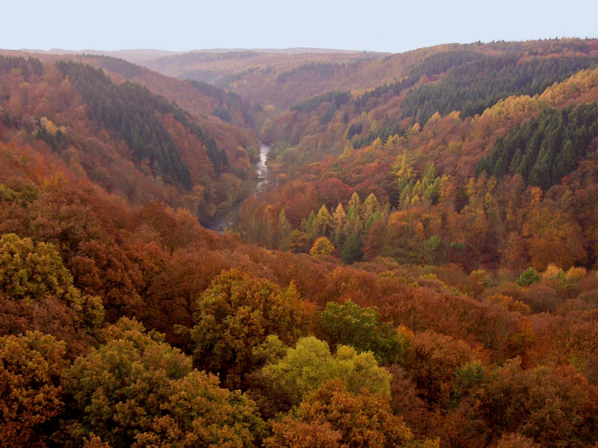
DiederichstempelViewpointVisit the Diederichstempel, a historical landmark nestled in the lush greenery of the Bergisches Land region.
63 km
63 km
RadevormwaldTownCycle through Radevormwald, a charming town known for its traditional architecture and idyllic atmosphere.
66 km
66 km
Hirschberg387 mPeakPass by Hirschberg, a quaint village with beautiful old buildings and a peaceful atmosphere.
76 km
76 km
WipperfürthTownExplore the town of Wipperfürth with its rich history and architectural gems, including the impressive castle ruins.
81 km
81 km
Gumpe272 mPeakEnjoy the natural beauty of Gumpe, a serene forest area perfect for a refreshing stop along the route.
93 km
93 km
Dörrenberg247 mPeak105 km
105 km
UntereschbachVillagePass through Untereschbach, a small village known for its rustic charm and picturesque landscapes.
118 km
118 km
Aussicht auf Becken 3ViewpointTake in the panoramic views of Becken 3, a scenic reservoir surrounded by lush green hills.
127 km
127 km
WesthovenSub-urbEnd your journey in Westhoven, a peaceful neighborhood with beautiful parks and gardens.
133 km
133 km
Finish: Locality centerBayenthal: Urban and suburban cycling paradise
Cycling routes from Bayenthal:
Road Loop through Bayenthal and Beyond Königsdorf Exploration Gravel Adventure to Wilhelmshöhe Gravel Loop Around Bayenthal Bayenthal Loop Explorations Gravel Adventure to Rösrath Scenic Road Journey to Brühl Road Cycling in the Outskirts of Cologne Bayenthal - Köln Round-Trip Cycling Route Southbound Journey to Zollstock
Cycling routes nearby: