Gravel Loop Around Bayenthal
A gravel cycling route starting from Bayenthal
Explore the gravel roads around Bayenthal
Map
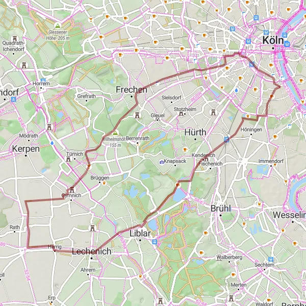
This gravel route takes you on a scenic journey through picturesque villages and beautiful landscapes. With a moderate difficulty level, this route is perfect for amateur cyclists looking for a challenge. Marvel at the Raderthal, a historic neighborhood known for its unique architecture. Visit Schloss Gracht, a stunning castle set amidst lush greenery. Make a stop at Gymnich, a charming village with a rich history. Admire the panoramic views from Wilhelmshöhe, a hilltop with a beautiful lookout point. Explore the city of Frechen and its charming streets. Enjoy a refreshing break at Dreizehn-Linden-Platz, a popular meeting place for locals.
gravel
58 km
201 m
Tough
Route profile
Highlights on the route
0 km
0 km
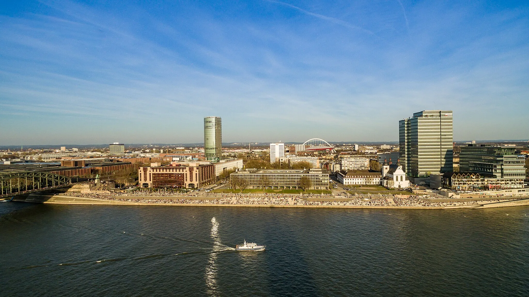
Start: Locality centerBayenthal: Urban and suburban cycling paradise
Bayenthal is a locality in Cologne, Germany. From a cyclist's perspective, Bayenthal offers a mix of urban and suburban cycling routes. There are well-marked bike lanes and paths, making it a safe and accessible area for cyclists. Bayenthal is located near the famous cycling spot of Rheinuferweg, a scenic riverside path perfect for leisurely rides. Overall, Bayenthal provides a convenient and enjoyable cycling experience for both road and gravel cyclists.1 km
1 km
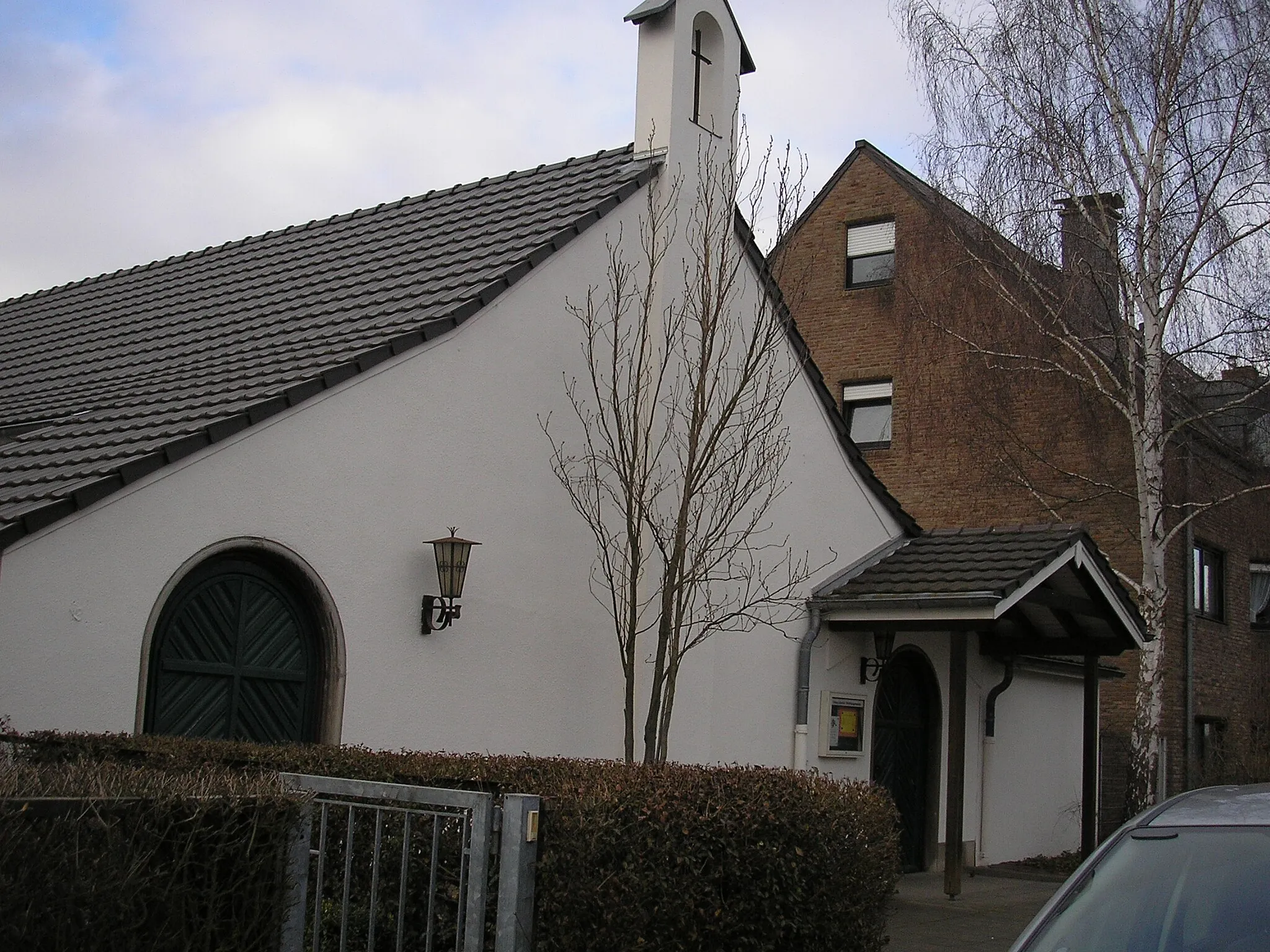
RaderthalSub-urbRaderthal is a neighborhood with a unique architectural style, featuring colorful houses and a lively atmosphere.
18 km
18 km
Schloss GrachtCastleSchloss Gracht is a picturesque castle surrounded by lush gardens and a scenic lake.
34 km
34 km
GymnichVillageGymnich is a quaint village with traditional half-timbered houses and a well-preserved medieval castle.
41 km
41 km
Wilhelmshöhe155 mPeak ViewpointWilhelmshöhe offers stunning panoramic views of the surrounding countryside and is a popular spot for outdoor activities.
45 km
45 km
FrechenTownFrechen is a charming city with beautiful historic buildings, cobblestone streets, and a bustling city center.
51 km
51 km
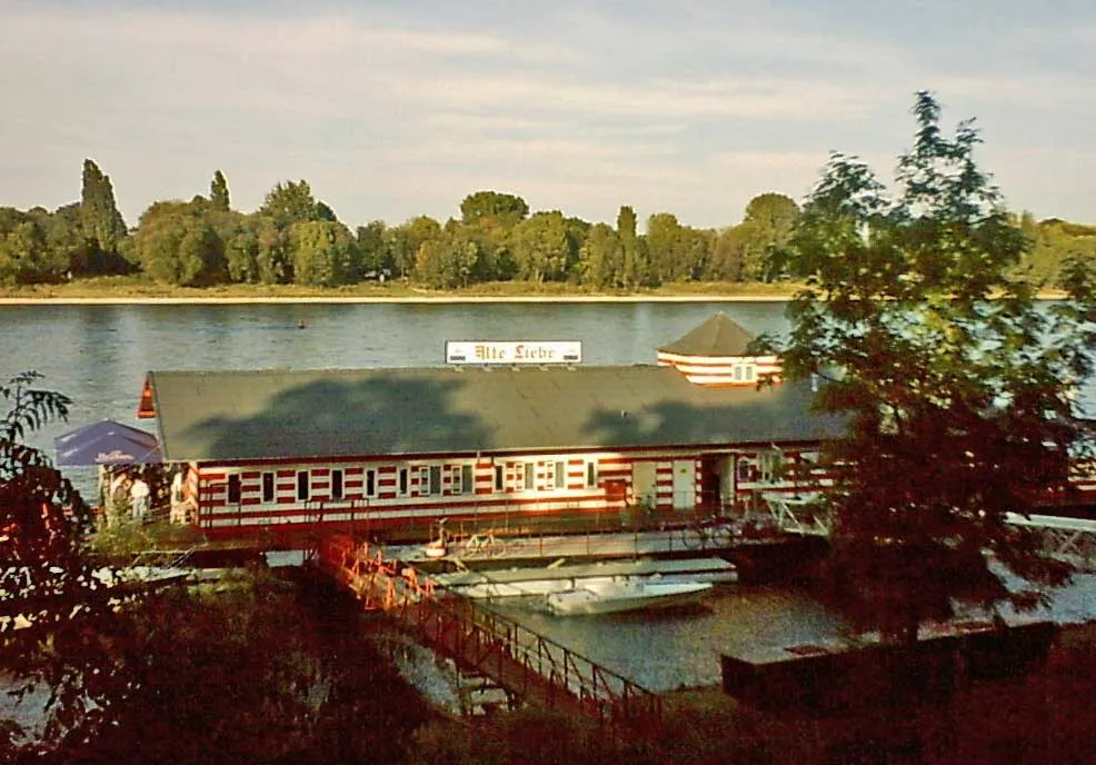
Dreizehn-Linden-PlatzViewpointDreizehn-Linden-Platz is a lively square surrounded by cafes and shops, perfect for a relaxing break during the ride.
57 km
57 km
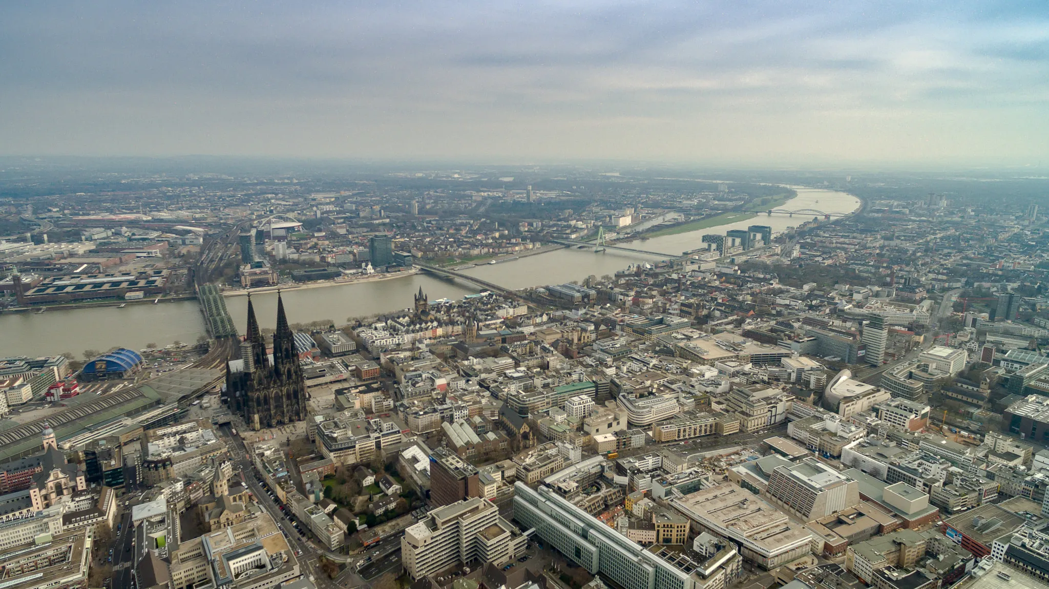
UlrepforteAttractionUlrepforte is a historic gate that once marked the entry to the city of Cologne and serves as a reminder of the city's rich history.
58 km
58 km
Finish: Locality centerBayenthal: Urban and suburban cycling paradise
Cycling routes from Bayenthal:
Road Loop through Bayenthal and Beyond Königsdorf Exploration Gravel Adventure to Wilhelmshöhe Gravel Loop Around Bayenthal Bayenthal Loop Explorations Gravel Adventure to Rösrath Scenic Road Journey to Brühl Road Cycling in the Outskirts of Cologne Bayenthal - Köln Round-Trip Cycling Route Southbound Journey to Zollstock
Cycling routes nearby: