Enjoy the best of both worlds – urban amenities and scenic cycling routes – in Höhenberg, Köln.
Cycling routes from Hoehenberg
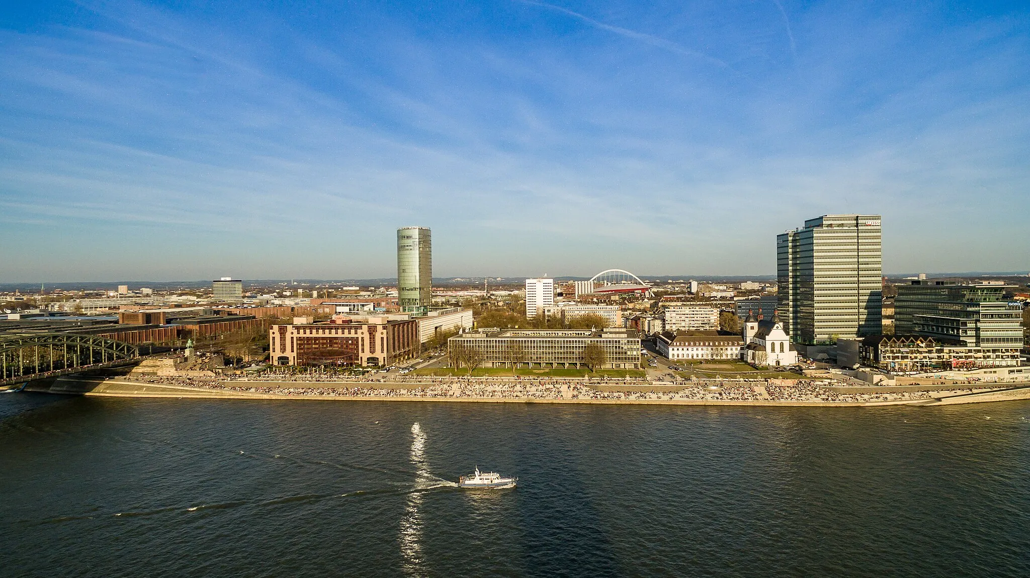
Höhenberg is a locality located in Köln, Germany. For road and gravel cyclists, Höhenberg offers a range of cycling opportunities within close proximity to urban amenities. The region boasts a mix of flat and hilly terrain, allowing cyclists to choose routes that cater to their preferences. Höhenberg itself may not have any specific famous cycling-related spots, but its location within Köln provides easy access to well-known cycling routes along the Rhine River. Overall, Höhenberg offers a convenient cycling base with access to urban delights and scenic pathways along the Rhine.
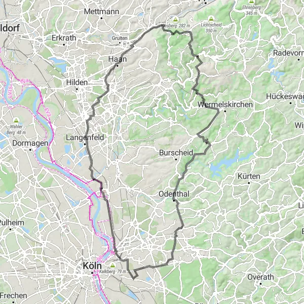
Discover the scenic beauty along this 50 km long road cycling route.
Experience the thrill of road cycling on this well-planned 50 km route. Taking you from Schildgen to Ostheim, this journey showcases the picturesque landscapes and cultural highlights of the region. Get ready for a memorable road cycling adventure that combines fitness and exploration.
Embark on an exciting road cycling adventure through the scenic Höningen area.
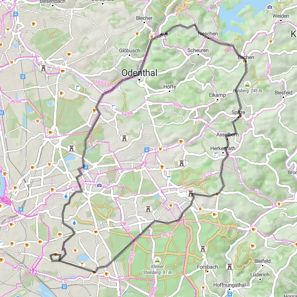
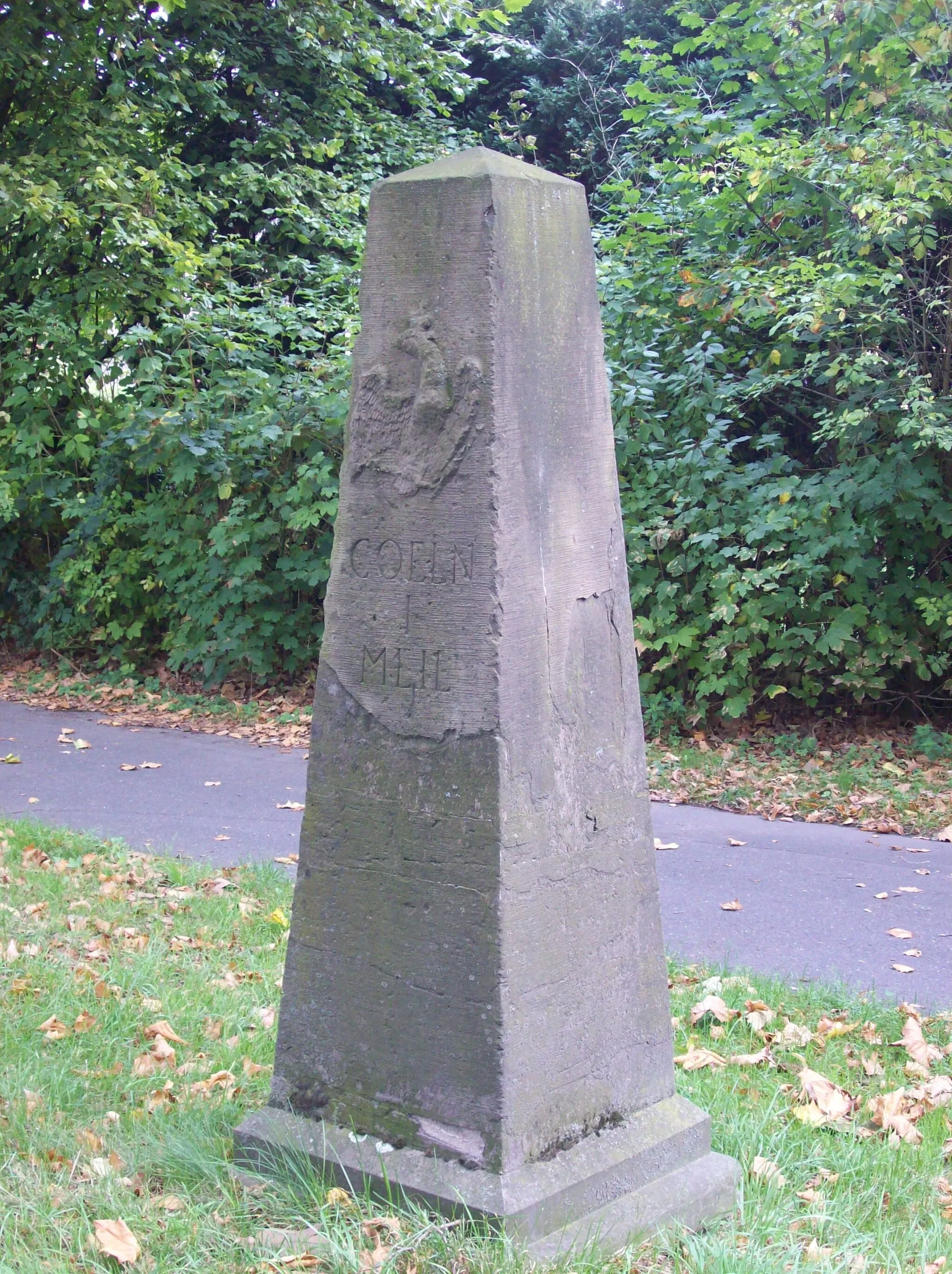
The Höningen Adventure is an exhilarating road cycling route that takes you through the beautiful landscapes and charming villages near Höhenberg. With a total distance of 106 km and an ascent of 288 m, this route is suitable for experienced amateur cyclists who are looking for a challenging ride. Highlights along the route include Vingst, Südbrücke, Kardorf, Wichterich, Erp, Gymnicher Mühle, Belvedere Ausblick, Vogelsang, and Höhenberg. Overall, this route offers a mix of natural beauty, historical landmarks, and challenging climbs, making it a must-try for cycling enthusiasts.
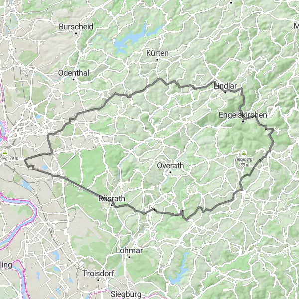
The Herrenstrunden Circuit
Embark on a scenic road cycling adventure with historical landmarks.
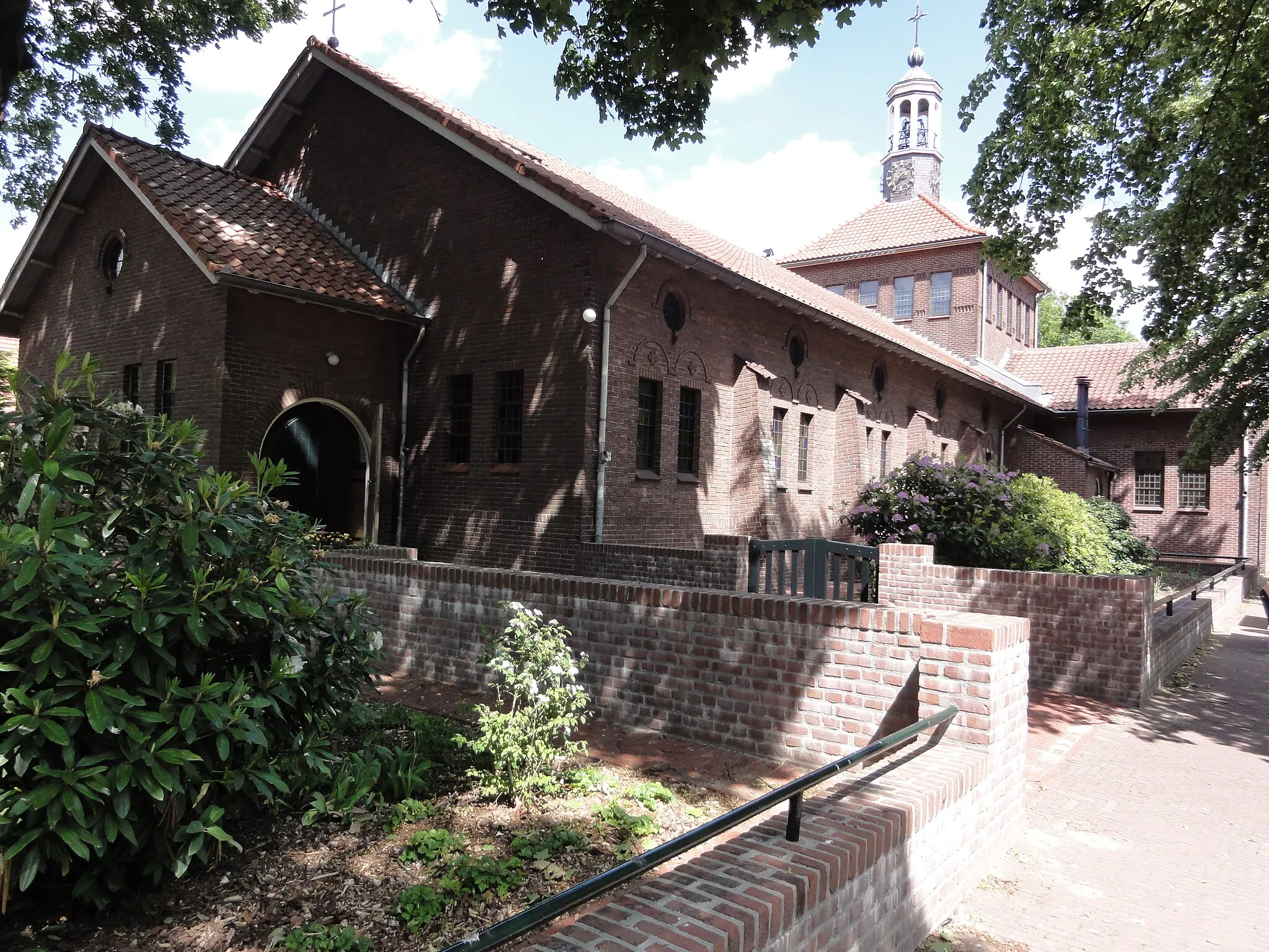
Immerse yourself in the beauty of nature and history with this road cycling route starting near Höhenberg. With a distance of 90 kilometers and an ascent of 1,175 meters, this route offers a fulfilling experience for well-trained amateurs seeking a moderate challenge. The highlights on this route include Herrenstrunden, Wiesenberg, Linde, and Engelskirchen, each contributing to the overall appeal of the journey.

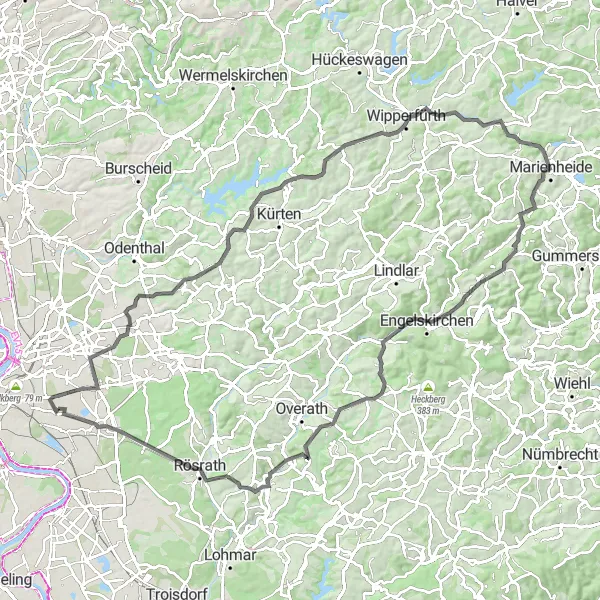
Conquer the stunning landscapes of Aggertal on this epic 78 km long gravel route.
Prepare for an epic journey through the captivating scenery surrounding Aggertal. This 78 km long gravel route promises a challenge to even the most seasoned cyclists, but the rewards are plentiful. Uncover hidden gems and breathtaking views as you pedal your way through this picturesque terrain.
Röttgen Loop
Explore the scenic Röttgen area on this challenging road cycling route.
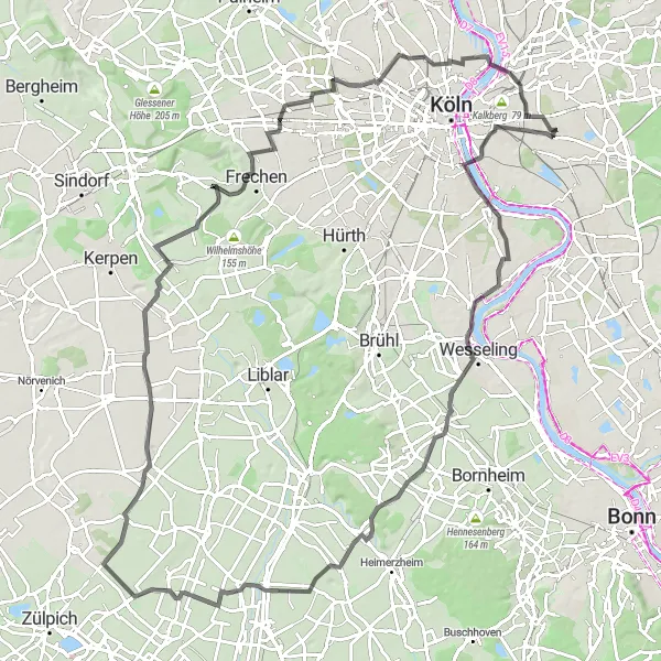
The Röttgen Loop is a challenging road cycling route that takes you through beautiful countryside and picturesque villages in the Höhenberg area. With a total distance of 99 km and an ascent of 354 m, this route is perfect for well-trained amateur cyclists who are looking for a good workout. The highlights of this route include Libur, the historic town of AltZoll, and the serene Niederdrees. Overall, this route offers stunning views and a rewarding cycling experience.
Vohwinkel Adventure
Embark on an epic road cycling adventure through the scenic Vohwinkel district.
The Vohwinkel Adventure is an epic road cycling route that takes you through the stunning landscapes and charming villages of the Höhenberg area. With a total distance of 102 km and an ascent of 1010 m, this route is suitable for experienced amateur cyclists who are looking for a challenging ride. Highlights along the route include the Alter Schlackehafen, Langenfeld, Vohwinkel, and Burggrafenberg. Overall, this route offers a mix of natural beauty, historical landmarks, and challenging climbs, making it a must-try for cycling enthusiasts.

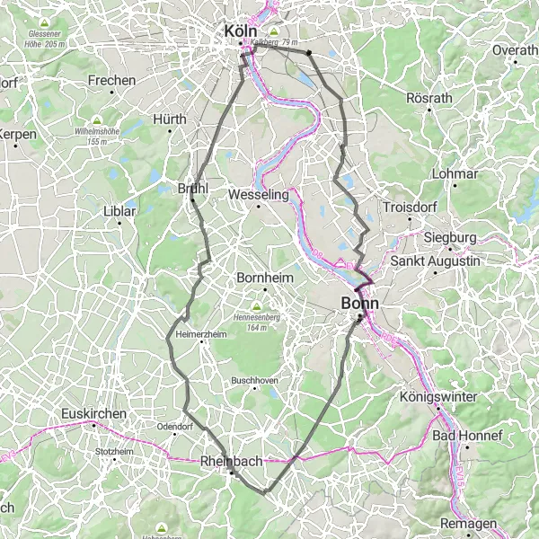
Embark on a fascinating journey from Deutz to Höhenberg through diverse terrains.
This 37 km long gravel route promises an immersive experience as you cycle from Deutz to Höhenberg. Along the way, you'll encounter a mix of natural beauty, historical landmarks, and cultural highlights. It's a route that showcases the best of both worlds.
Explore a challenging road cycling route with stunning views.
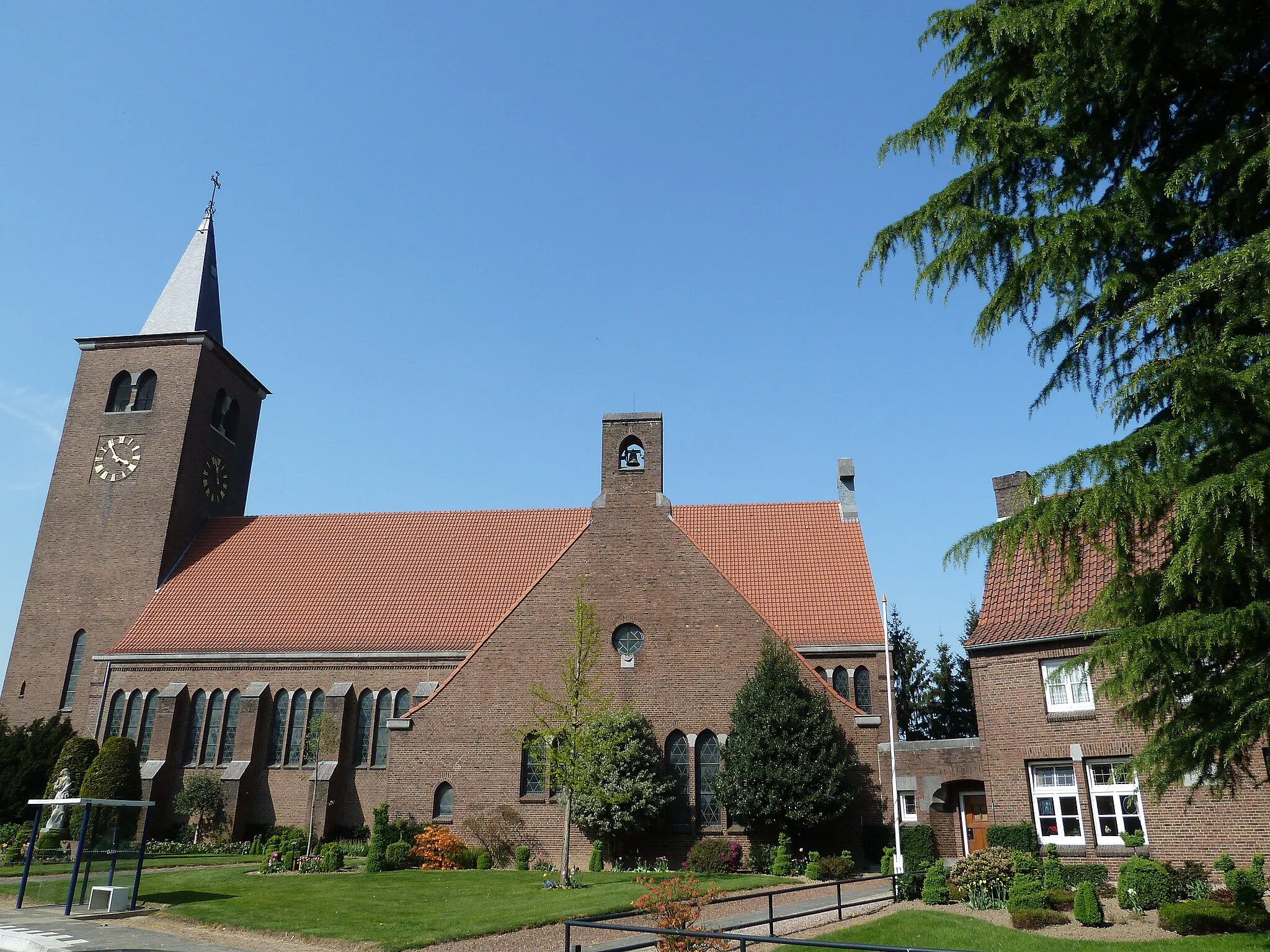
This road cycling route starting near Höhenberg takes you on a challenging journey through picturesque landscapes and offers mesmerizing views along the way. With a total distance of 106 kilometers and an ascent of 1,216 meters, this route is suitable for very well-trained amateurs seeking a thrilling experience. The scenic highlights along the route include the Bölsberg, Dörnchen, Kluse, and Windberg. These stops offer unique attractions and panoramic views that make the ride even more rewarding.

Immerse yourself in the captivating beauty of natural landscapes on this 38 km gravel loop.
Are you ready to connect with nature? This 38 km gravel route guides you through stunning landscapes, allowing you to fully immerse yourself in their serene beauty. From breathtaking views to hidden gems, this route is a nature-lover's dream come true.

Discover the charming suburbs of Köln on this scenic gravel cycling route
Embark on a thrilling gravel adventure starting near Höhenberg, Köln. This 89 km route takes you through the picturesque outskirts of the city, offering stunning views of the countryside and charming suburban landscapes. With a moderate ascent of 268 meters, this route is suitable for well-trained amateurs looking for a challenging yet enjoyable cycling experience. Get ready to explore hidden gems and cultural highlights along the way.
Cycling routes nearby:


Nearby regions: