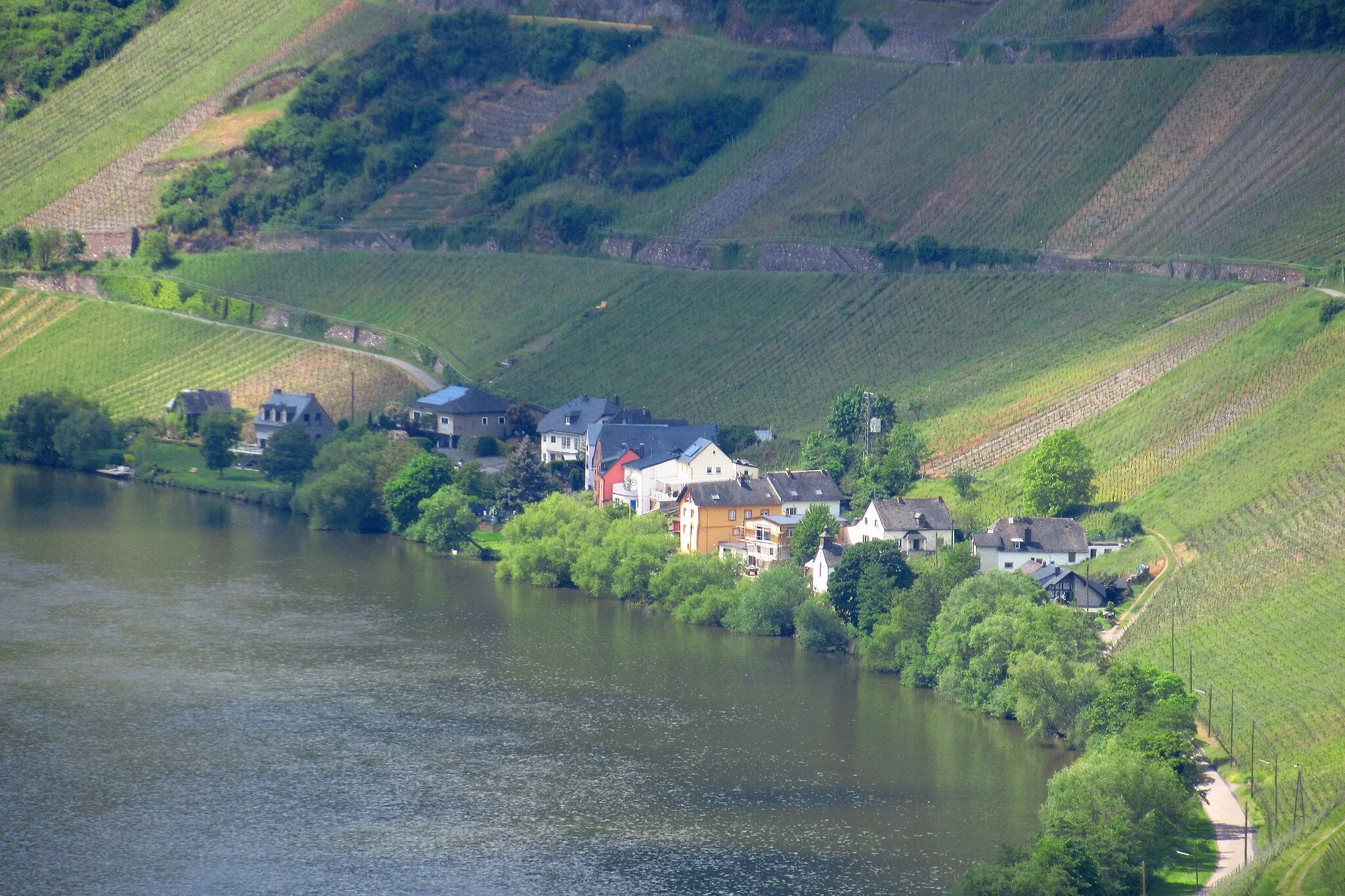
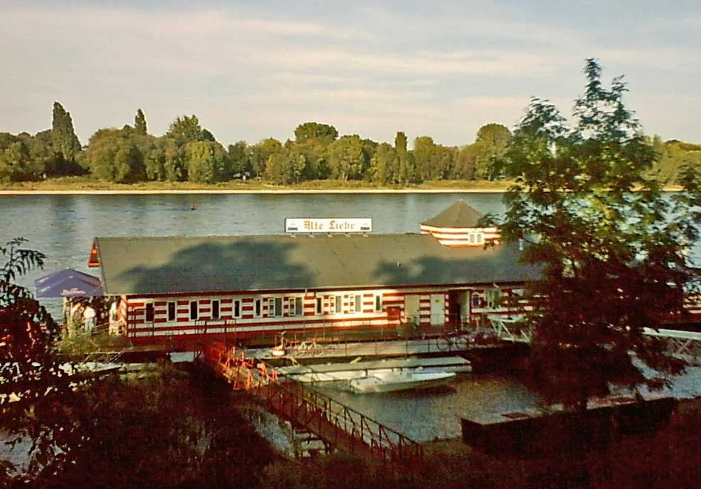
Diverse landscapes and cyclist-friendly infrastructure along the Rhine River.
Cycling routes from Gremberghoven
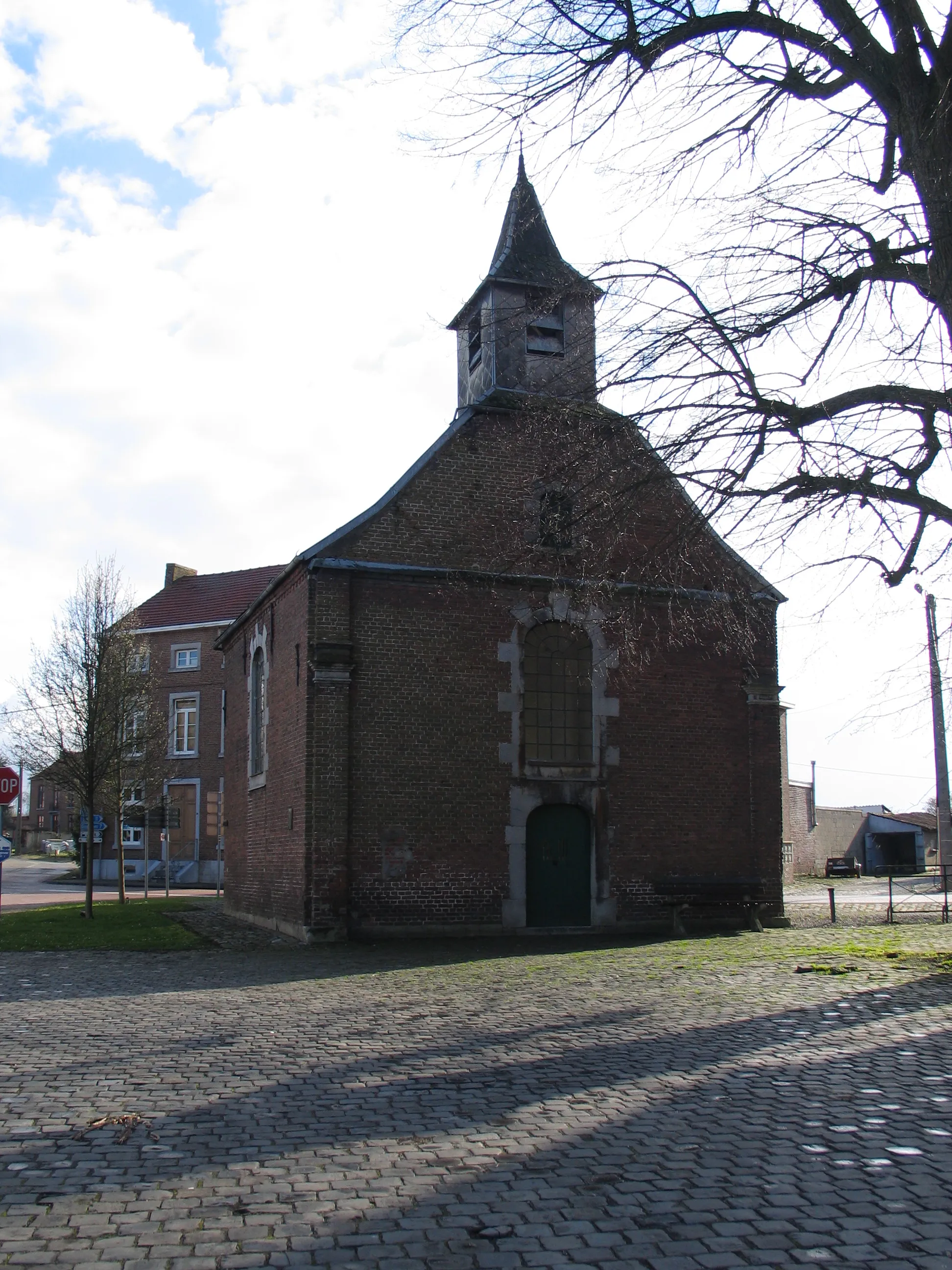
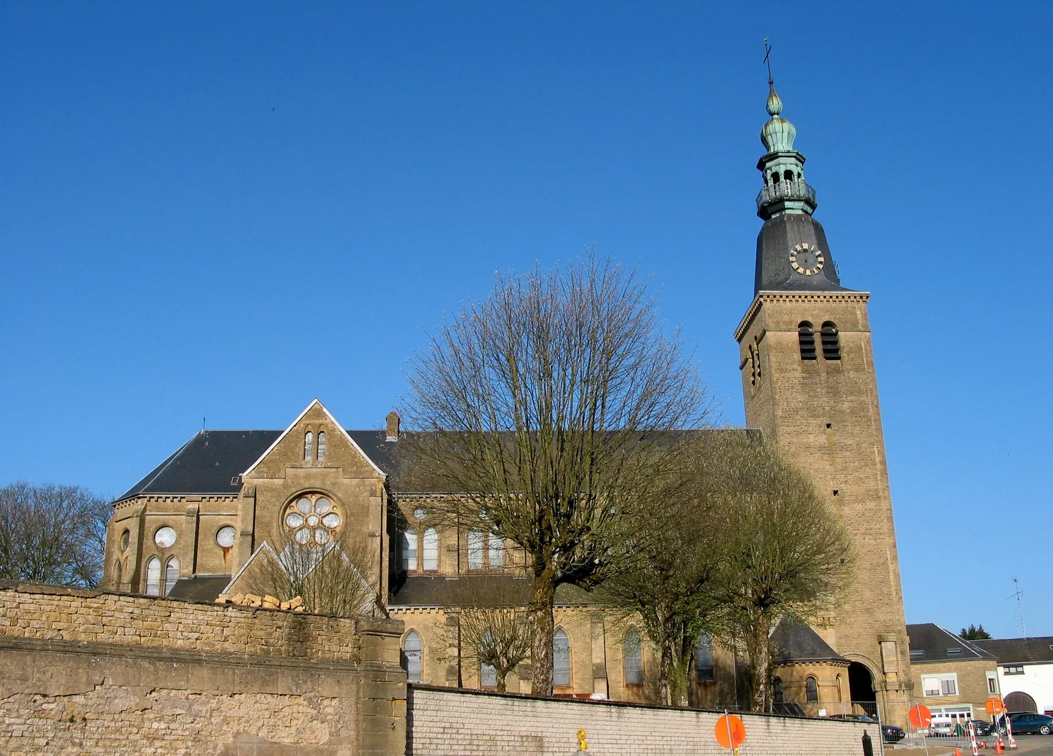
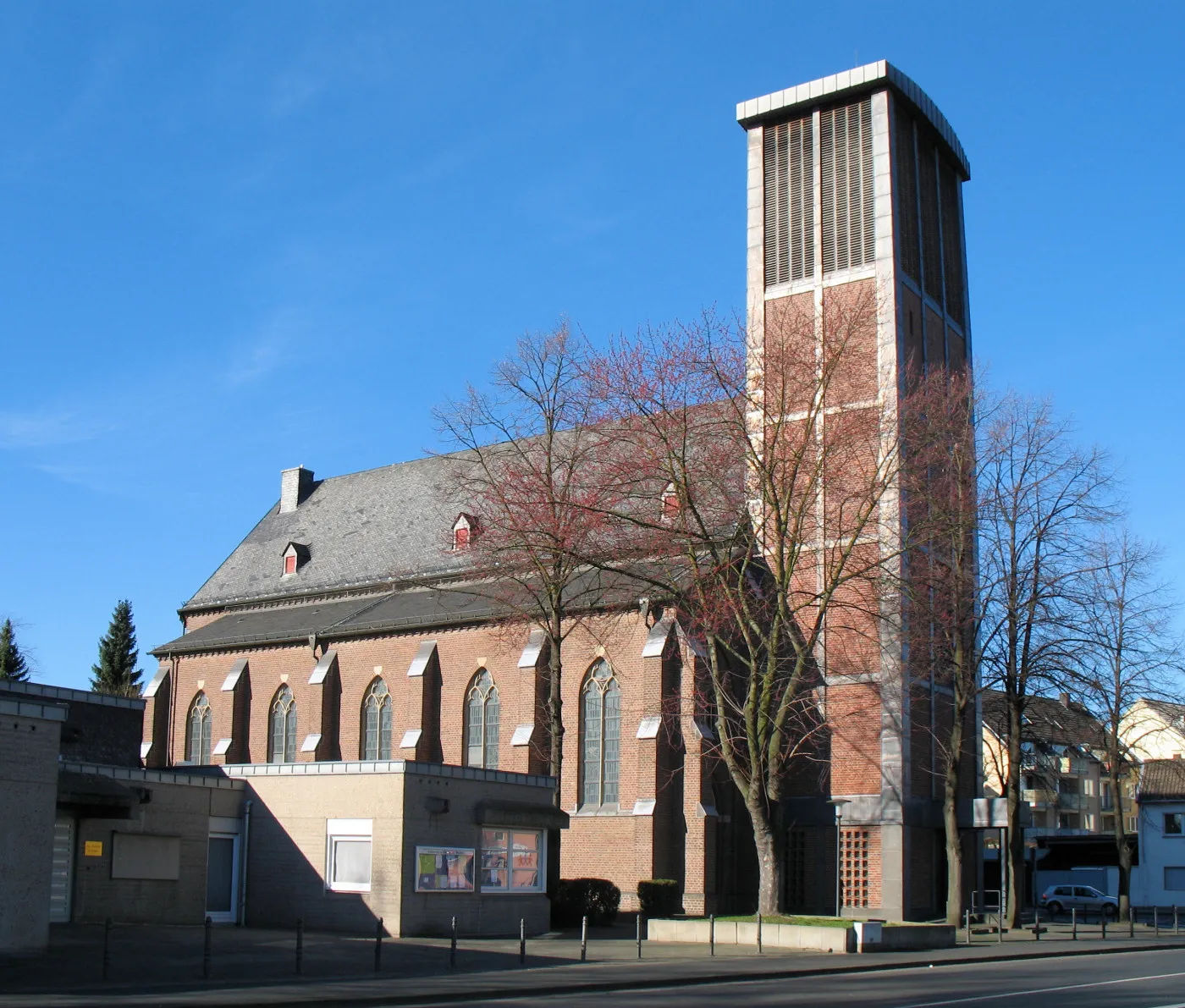
Gremberghoven, located in Köln, Germany, provides a dynamic atmosphere for road and gravel cyclists. The locality offers a mix of flat terrain and rolling hills, ideal for varying cycling interests. Cyclists can explore the picturesque countryside and visit the charming villages scattered in the area. Gremberghoven also boasts excellent cycling infrastructure with well-marked paths and cycling facilities. Additionally, it serves as a popular starting point for exploring the varied cycling routes along the Rhine River. With its diverse landscapes and cyclist-friendly amenities, Gremberghoven is a sought-after destination for cyclists.
Experience the thrill of road cycling with this scenic route starting in Gremberghoven.
Embark on an unforgettable road cycling adventure with this scenic 57km route, featuring a total ascent of 310m. Traverse through picturesque landscapes and charming towns, and experience the thrill of the open road.
Experience a scenic route through the neighborhoods of Deutz and Dormagen, including a visit to the historic Leichlingen. Total distance of 106 km with an elevation gain of 361 meters.
This road route takes cyclists on a scenic adventure through the neighborhoods of Deutz and Dormagen, with a visit to the historic town of Leichlingen. Start in Deutz, where you can explore landmarks like the Cologne Cathedral. Head towards Dormagen, passing through Bilk and enjoying picturesque landscapes along the way. Reach Leichlingen and admire its well-preserved traditional architecture. The total distance of the route is 106 km with an elevation gain of 361 meters, offering a mix of urban charm and natural beauty for an enjoyable biking experience.
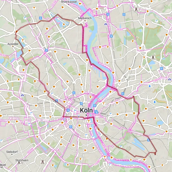
Embrace the adventure with this gravel circuit exploring the neighborhoods of Deutz and Escher See. Total distance of 52 km with an elevation gain of 125 meters.
This gravel circuit allows cyclists to explore the vibrant neighborhoods of Deutz and the picturesque shores of Escher See. The route starts in Deutz, where you can admire the natural beauty and architectural icons such as the Cologne Cathedral. Ride towards Escher See, a unique lake offering a variety of landscapes and birdwatching opportunities. The circuit covers a distance of 52 km with an elevation gain of 125 meters and showcases both urban and natural highlights along the way. It is perfect for gravel enthusiasts looking to blend adventure and sightseeing.
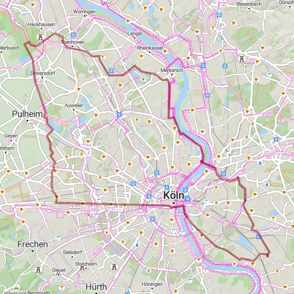
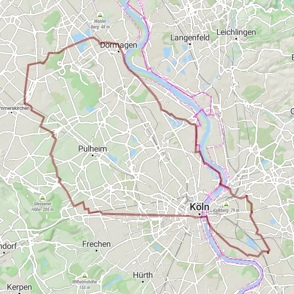
Embark on a gravel adventure to Pulheimer See, passing through the iconic Hohenzollernbrücke, with a total distance of 66 km and an elevation gain of 144 meters.
This gravel route takes you on an adventurous journey to Pulheimer See. Begin by crossing the Hohenzollernbrücke, Cologne's famous bridge, before heading towards Pulheimer See. Along the way, you'll pass through Orr and Chorweiler, experiencing the natural beauty of the area. The route covers a total distance of 66 km with an elevation gain of 144 meters. It's a great opportunity to explore off-road paths and immerse yourself in the serene surroundings of the lake.

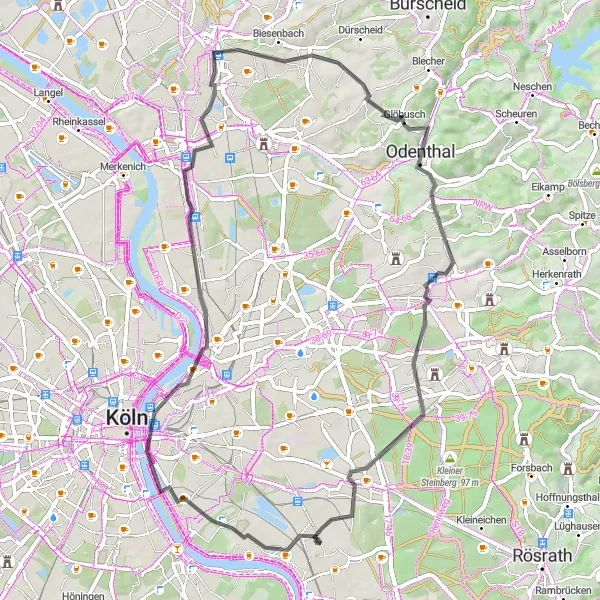
Challenge yourself with this road loop featuring challenging hills and visits to historical abbeys. Total distance of 126 km with an elevation gain of 1346 meters.
This road loop is designed for cyclists seeking a challenging adventure. The route includes challenging hills and visits to historical abbeys. Begin by passing through Dellbrück before reaching Hoheberg and Altenberg Abbey. Continue the journey to explore the scenic Rosengarten and Hückeswagen. The route covers a total distance of 126 km with an elevation gain of 1346 meters. It offers breathtaking landscapes, historical landmarks, and an exhilarating cycling experience.
Cologne and Dusseldorf Road Loop
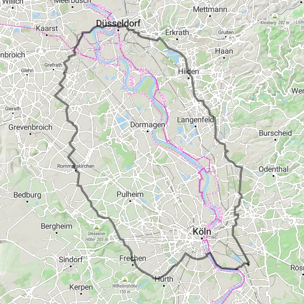
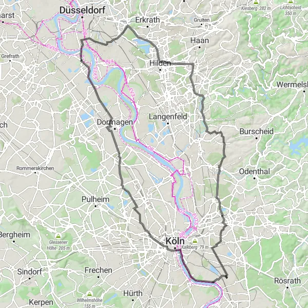
Cycle between two bustling cities and cross the iconic Südbrücke, with a total distance of 132 km and an elevation gain of 299 meters.
This road loop takes you on a scenic journey between Cologne and Dusseldorf. Start by crossing the Südbrücke, one of Cologne's most famous bridges, before heading towards Zollstock. Along the route, you'll pass through Frechen and Rommerskirchen, before reaching Hülchrath and then continuing to Dusseldorf. The overall route covers a distance of 132 km with an elevation gain of 299 meters. It offers a mix of urban and suburban landscapes, allowing you to explore the vibrant culture and attractions of both Cologne and Dusseldorf.

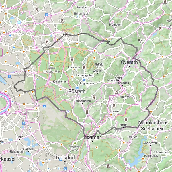
Embark on a scenic gravel adventure through beautiful landscapes and charming villages.
Experience the beauty of the countryside as you cycle along this 47 km gravel route. Along the way, enjoy highlights such as Rösrath, Hähnen, Moltkeberg, and Finkenberg. With an ascent of 343 m, this route offers a moderate challenge for cyclists of varying skills.
Embark on an exhilarating road cycling adventure through charming towns and scenic routes.
This 63 km road cycling route offers a mix of stunning landscapes and historic landmarks. With an ascent of 685 m, the route includes highlights such as zur Stadt Köln, Schloss Bensberg, Rotter Berg, Overath, Nackhausen, Ingerberg, Hohe Schanze, and Finkenberg. Suitable for experienced cyclists, this route provides a challenging and unforgettable journey.
The Gravel Escape
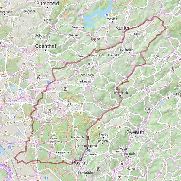
Explore the beautiful landscapes and charming towns along this challenging gravel route.
This round-trip cycling route starting near Gremberghoven takes you through the stunning scenery of Bergisch Gladbach and Kürten. With a distance of 72 km and an ascent of 684 m, this gravel route is perfect for those seeking a challenging adventure. The highlights along the route include Bergisch Gladbach, Kürten, Pferdskopf, Leienberg, Rösrath, and Finkenberg.
The Gravel Adventure
Explore the scenic countryside with this challenging gravel route starting in Gremberghoven.
Embark on a scenic adventure through the countryside with this challenging gravel route. With a total ascent of 195m and a distance of 86km, this route will push your limits while offering stunning views along the way.
Cycling routes nearby:


Nearby regions: