Challenging Hills and Abbeys Road Loop
A road cycling route starting from Gremberghoven
Challenge yourself with this road loop featuring challenging hills and visits to historical abbeys. Total distance of 126 km with an elevation gain of 1346 meters.
Map

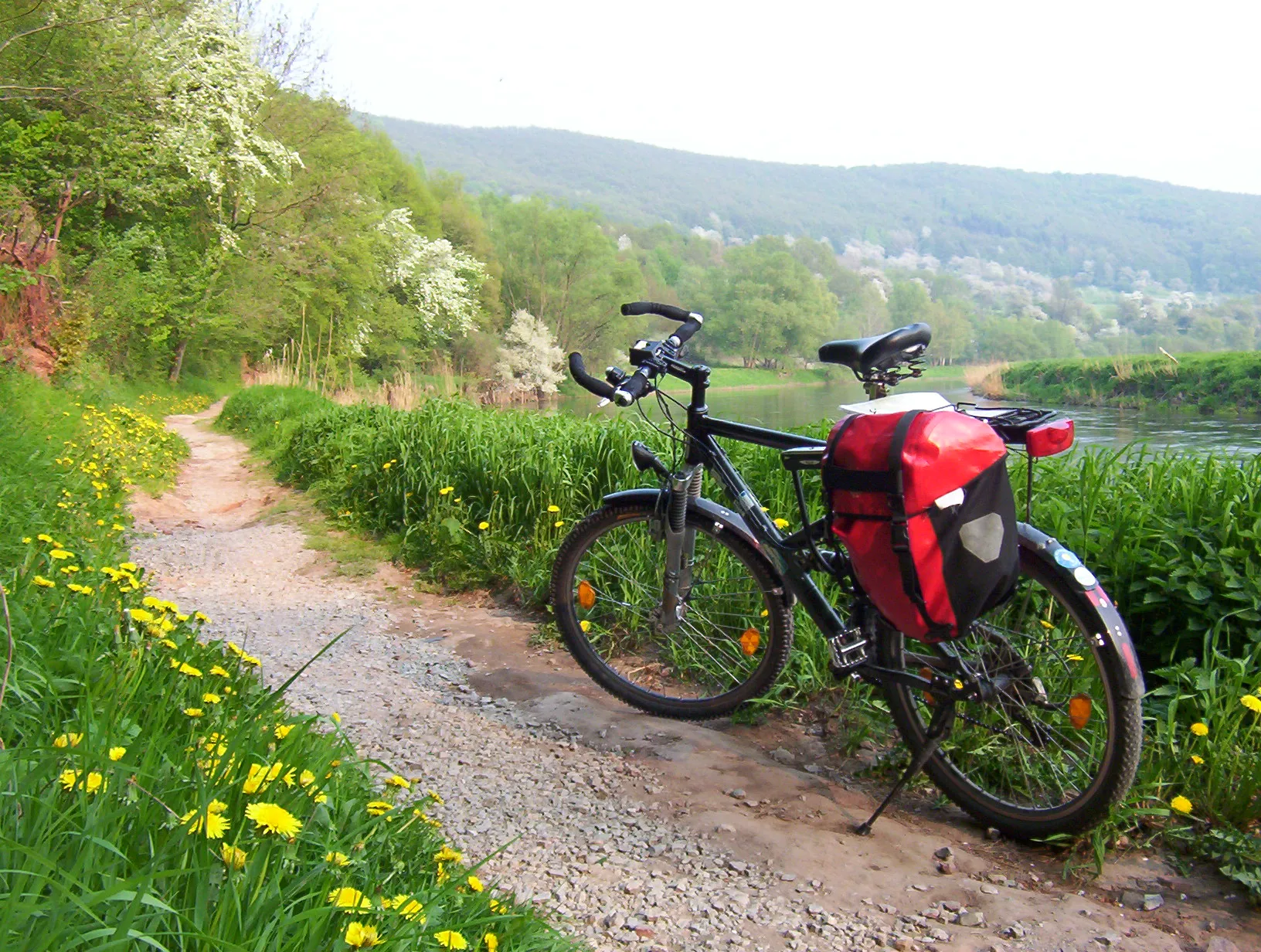
This road loop is designed for cyclists seeking a challenging adventure. The route includes challenging hills and visits to historical abbeys. Begin by passing through Dellbrück before reaching Hoheberg and Altenberg Abbey. Continue the journey to explore the scenic Rosengarten and Hückeswagen. The route covers a total distance of 126 km with an elevation gain of 1346 meters. It offers breathtaking landscapes, historical landmarks, and an exhilarating cycling experience.
road
126 km
1346 m
Tough
Route profile
Highlights on the route
0 km
0 km
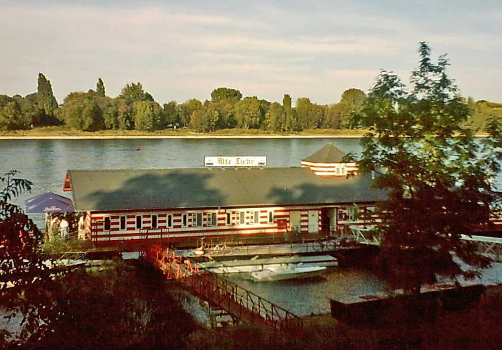
Start: Locality centerGremberghoven: Diverse landscapes and cyclist-friendly infrastructure along the Rhine River.
Gremberghoven, located in Köln, Germany, provides a dynamic atmosphere for road and gravel cyclists. The locality offers a mix of flat terrain and rolling hills, ideal for varying cycling interests. Cyclists can explore the picturesque countryside and visit the charming villages scattered in the area. Gremberghoven also boasts excellent cycling infrastructure with well-marked paths and cycling facilities. Additionally, it serves as a popular starting point for exploring the varied cycling routes along the Rhine River. With its diverse landscapes and cyclist-friendly amenities, Gremberghoven is a sought-after destination for cyclists.10 km
10 km
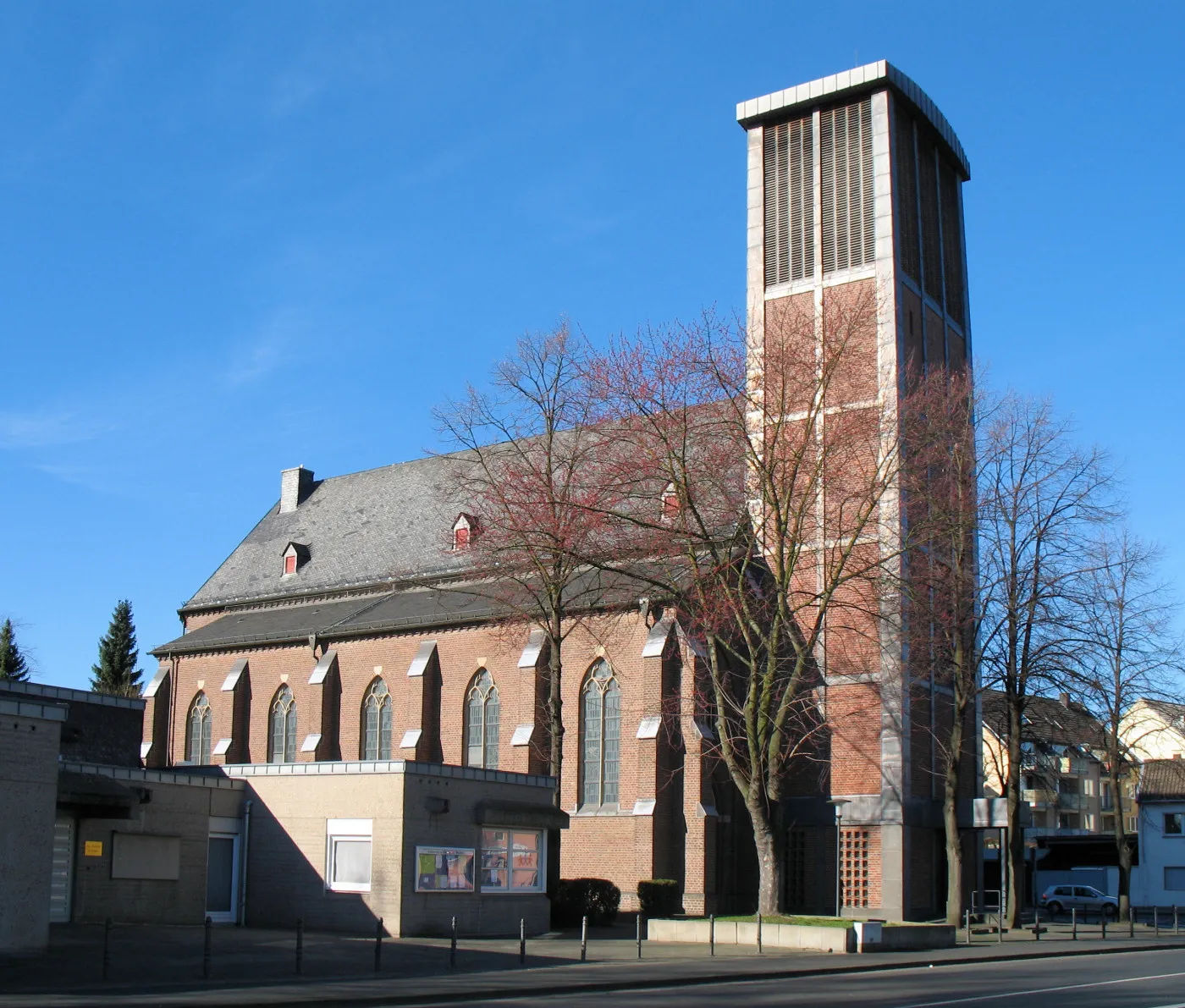
DellbrückSub-urbDellbrück features beautiful parks and gardens, offering a stunning natural backdrop.
21 km
21 km
Hoheberg185 mPeakHoheberg is a picturesque village known for its idyllic landscape and scenic views.
22 km
22 km
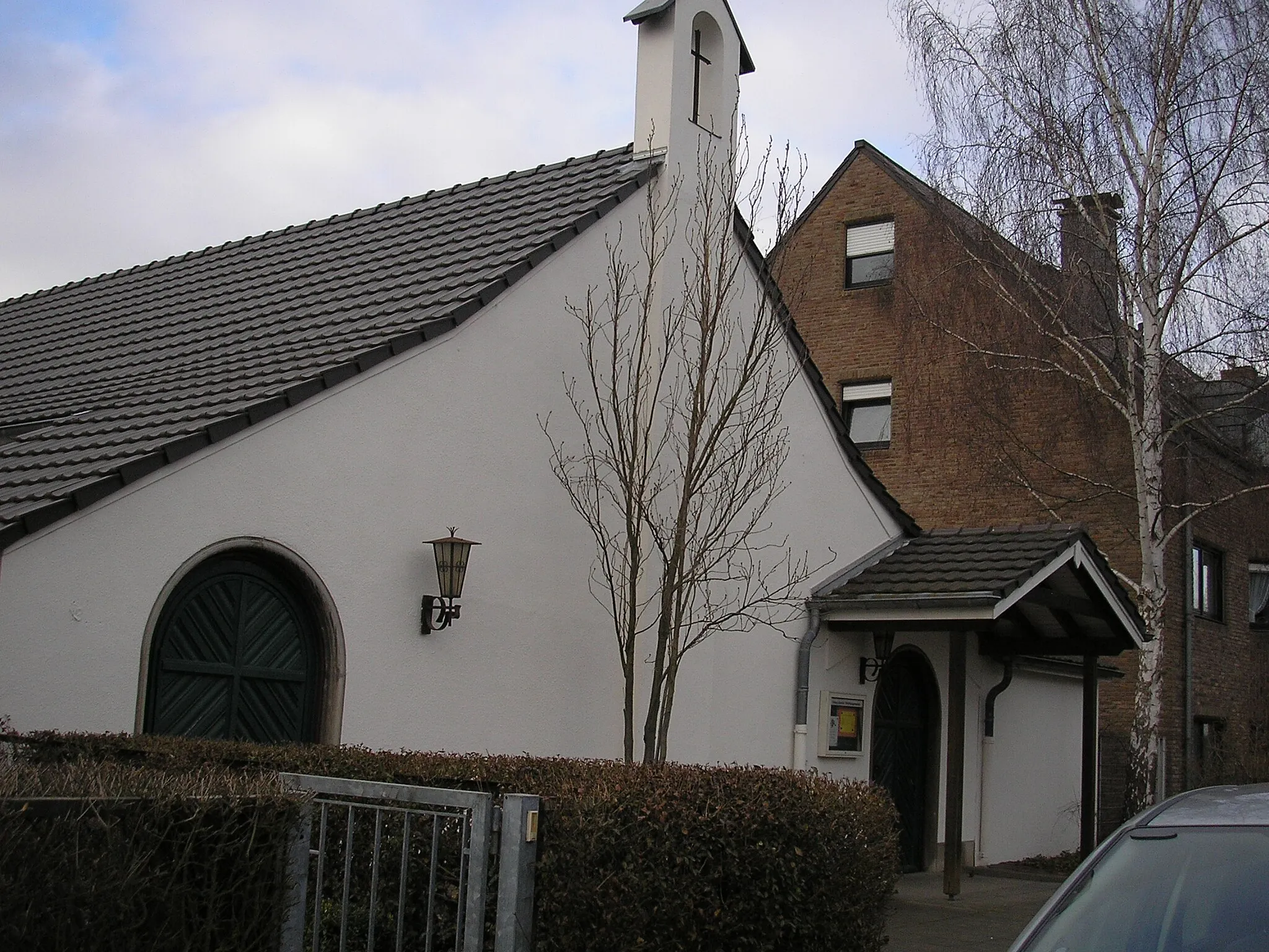
Altenberg AbbeyAttractionAltenberg Abbey is a stunning medieval abbey with remarkable architectural features.
42 km
42 km
RosengartenViewpointRosengarten is a beautifully landscaped garden, filled with colorful and fragrant flowers.
42 km
42 km
HückeswagenTownHückeswagen is a historic town featuring charming half-timbered houses and a medieval castle.
58 km
58 km
Wahlberg406 mPeakWahlberg offers sweeping views of the surrounding rolling hills, making it an ideal spot for nature lovers.
59 km
59 km
KempershöheVillageKempershöhe is a tranquil wooded area with well-marked trails, perfect for hiking and exploring.
70 km
70 km
WallefeldVillageWallefeld is a quaint village known for its traditional architecture and peaceful ambiance.
80 km
80 km
Immerkopf364 mPeakImmerkopf is a hilltop providing panoramic views of the picturesque landscape below.
88 km
88 km
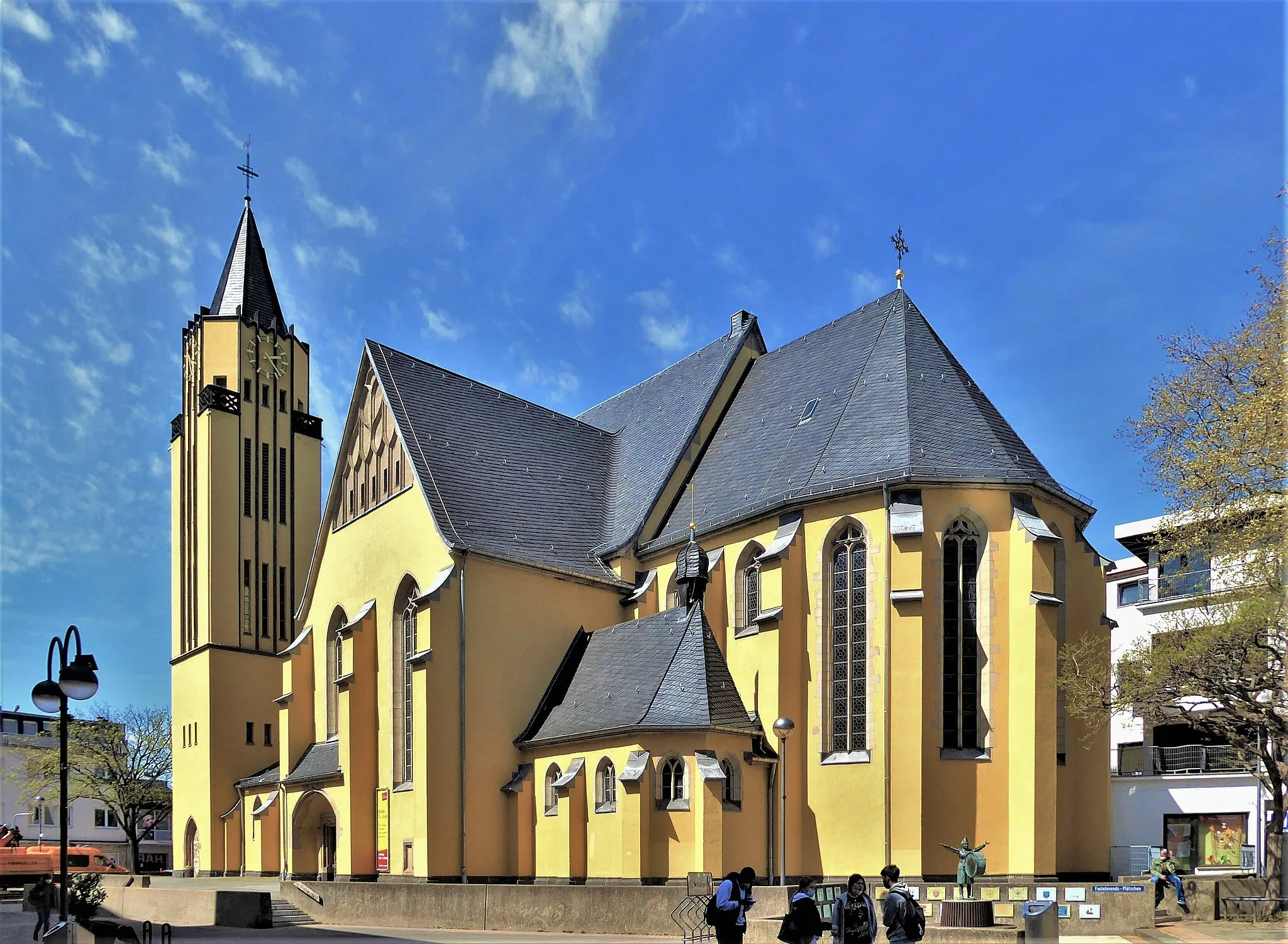
MuchVillageThe charming village of Much offers scenic vistas, historic churches, and lovely cafes.
90 km
90 km
Hundsberg246 mPeakHundsberg is a quiet retreat offering pristine nature, hiking trails, and breathtaking viewpoints.
107 km
107 km
Riemberg109 mPeakExplore Riemberg, a small town known for its charming old town area and traditional German architecture.
112 km
112 km
TroisdorfTownTroisdorf is a vibrant city packed with shops, restaurants, and cultural attractions.
125 km
125 km
FinkenbergSub-urbFinkenberg offers a peaceful retreat with hiking trails surrounded by nature.
126 km
126 km
Finish: Locality centerGremberghoven: Diverse landscapes and cyclist-friendly infrastructure along the Rhine River.
Cycling routes from Gremberghoven:
Cycling routes nearby: