Cologne and Dusseldorf Road Loop
A road cycling route starting from Gremberghoven
Cycle between two bustling cities and cross the iconic Südbrücke, with a total distance of 132 km and an elevation gain of 299 meters.
Map
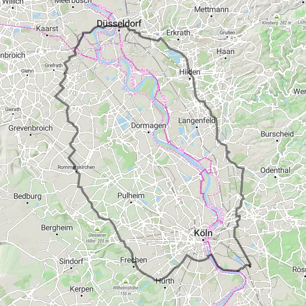
This road loop takes you on a scenic journey between Cologne and Dusseldorf. Start by crossing the Südbrücke, one of Cologne's most famous bridges, before heading towards Zollstock. Along the route, you'll pass through Frechen and Rommerskirchen, before reaching Hülchrath and then continuing to Dusseldorf. The overall route covers a distance of 132 km with an elevation gain of 299 meters. It offers a mix of urban and suburban landscapes, allowing you to explore the vibrant culture and attractions of both Cologne and Dusseldorf.
road
132 km
299 m
Tough
Route profile
Highlights on the route
0 km
0 km
Start: Locality centerGremberghoven: Diverse landscapes and cyclist-friendly infrastructure along the Rhine River.
Gremberghoven, located in Köln, Germany, provides a dynamic atmosphere for road and gravel cyclists. The locality offers a mix of flat terrain and rolling hills, ideal for varying cycling interests. Cyclists can explore the picturesque countryside and visit the charming villages scattered in the area. Gremberghoven also boasts excellent cycling infrastructure with well-marked paths and cycling facilities. Additionally, it serves as a popular starting point for exploring the varied cycling routes along the Rhine River. With its diverse landscapes and cyclist-friendly amenities, Gremberghoven is a sought-after destination for cyclists.8 km
8 km
SüdbrückeViewpointMake a stop at the Südbrücke, a popular spot for photo opportunities and stunning panoramic views of the city.
11 km
11 km
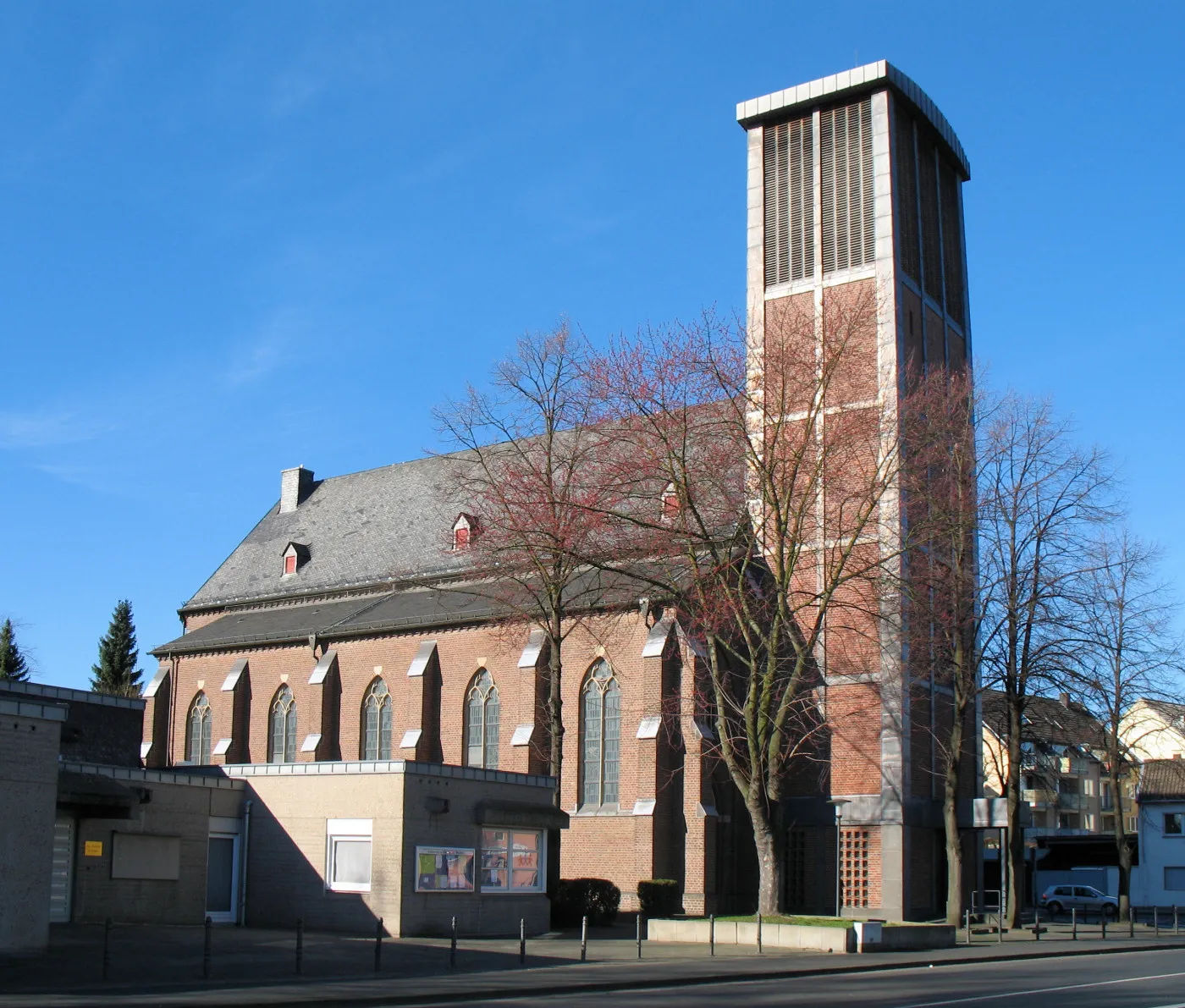
ZollstockSub-urbZollstock offers a charming district with traditional architecture and local shops.
24 km
24 km
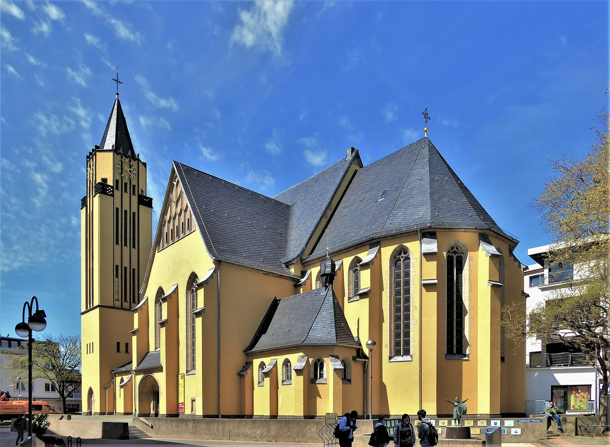
FrechenTownFrechen is known for its colorful pottery and ceramic industry.
43 km
43 km
RommerskirchenVillageRommerskirchen features a picturesque landscape with fields and meadows.
56 km
56 km
HülchrathVillageHülchrath offers a historic castle with beautiful gardens.
78 km
78 km
DusseldorfCityDusseldorf, known for its modern architecture, vibrant nightlife, and shopping streets.
85 km
85 km
VennhausenSub-urbVennhausen is home to the Jägerhof, a 17th-century manor house surrounded by a park.
90 km
90 km
SeeblickViewpointEnjoy a peaceful moment by Seeblick, a scenic lake offering beautiful views and recreation opportunities.
111 km
111 km
MIL MI-2AttractionMIL MI-2 is a decommissioned military helicopter on display.
118 km
118 km
Förster-Schreibweis-KanzelViewpointFörster-Schreibweis-Kanzel is a lookout point with panoramic views of the surrounding area.
122 km
122 km
HolweideSub-urbHolweide is home to a large nature reserve with diverse flora and fauna.
131 km
131 km
FinkenbergSub-urbFinkenberg offers a peaceful retreat with hiking trails surrounded by nature.
132 km
132 km
Finish: Locality centerGremberghoven: Diverse landscapes and cyclist-friendly infrastructure along the Rhine River.
Cycling routes from Gremberghoven:
Cycling routes nearby: