Gravel Adventure to Pulheimer See
A gravel cycling route starting from Gremberghoven
Embark on a gravel adventure to Pulheimer See, passing through the iconic Hohenzollernbrücke, with a total distance of 66 km and an elevation gain of 144 meters.
Map
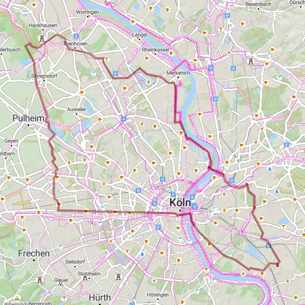
This gravel route takes you on an adventurous journey to Pulheimer See. Begin by crossing the Hohenzollernbrücke, Cologne's famous bridge, before heading towards Pulheimer See. Along the way, you'll pass through Orr and Chorweiler, experiencing the natural beauty of the area. The route covers a total distance of 66 km with an elevation gain of 144 meters. It's a great opportunity to explore off-road paths and immerse yourself in the serene surroundings of the lake.
gravel
66 km
144 m
Chill
Route profile
Highlights on the route
0 km
0 km
Start: Locality centerGremberghoven: Diverse landscapes and cyclist-friendly infrastructure along the Rhine River.
Gremberghoven, located in Köln, Germany, provides a dynamic atmosphere for road and gravel cyclists. The locality offers a mix of flat terrain and rolling hills, ideal for varying cycling interests. Cyclists can explore the picturesque countryside and visit the charming villages scattered in the area. Gremberghoven also boasts excellent cycling infrastructure with well-marked paths and cycling facilities. Additionally, it serves as a popular starting point for exploring the varied cycling routes along the Rhine River. With its diverse landscapes and cyclist-friendly amenities, Gremberghoven is a sought-after destination for cyclists.9 km
9 km
HohenzollernbrückeViewpointTake a moment to admire the Hohenzollernbrücke and enjoy panoramic views of the Rhine River.
9 km
9 km
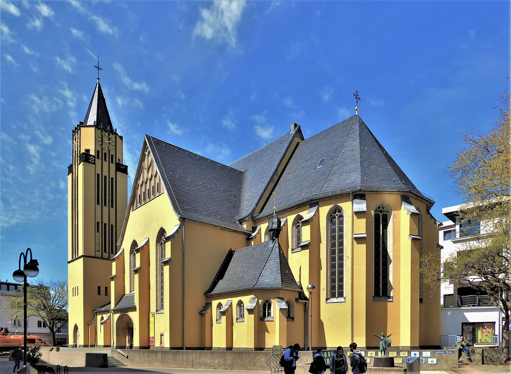
CologneCityCologne offers a rich history, stunning architecture, and lively atmosphere.
25 km
25 km
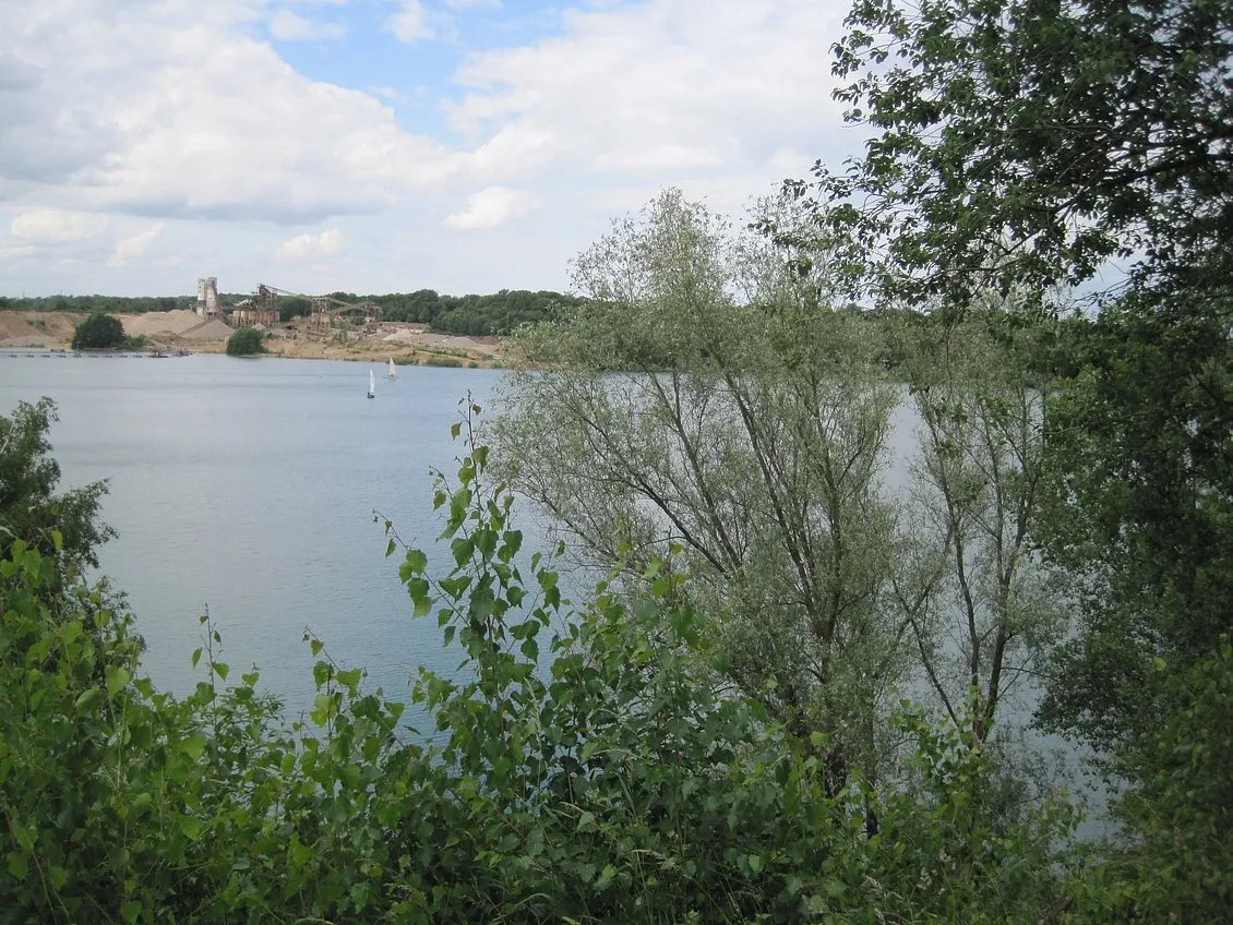
Aussichtspunkt Pulheimer SeeViewpointAt Aussichtspunkt Pulheimer See, enjoy a breathtaking view of the lake and its surrounding landscape.
27 km
27 km
OrrHamletOrr features serene meadows and green spaces, perfect for a peaceful break.
42 km
42 km
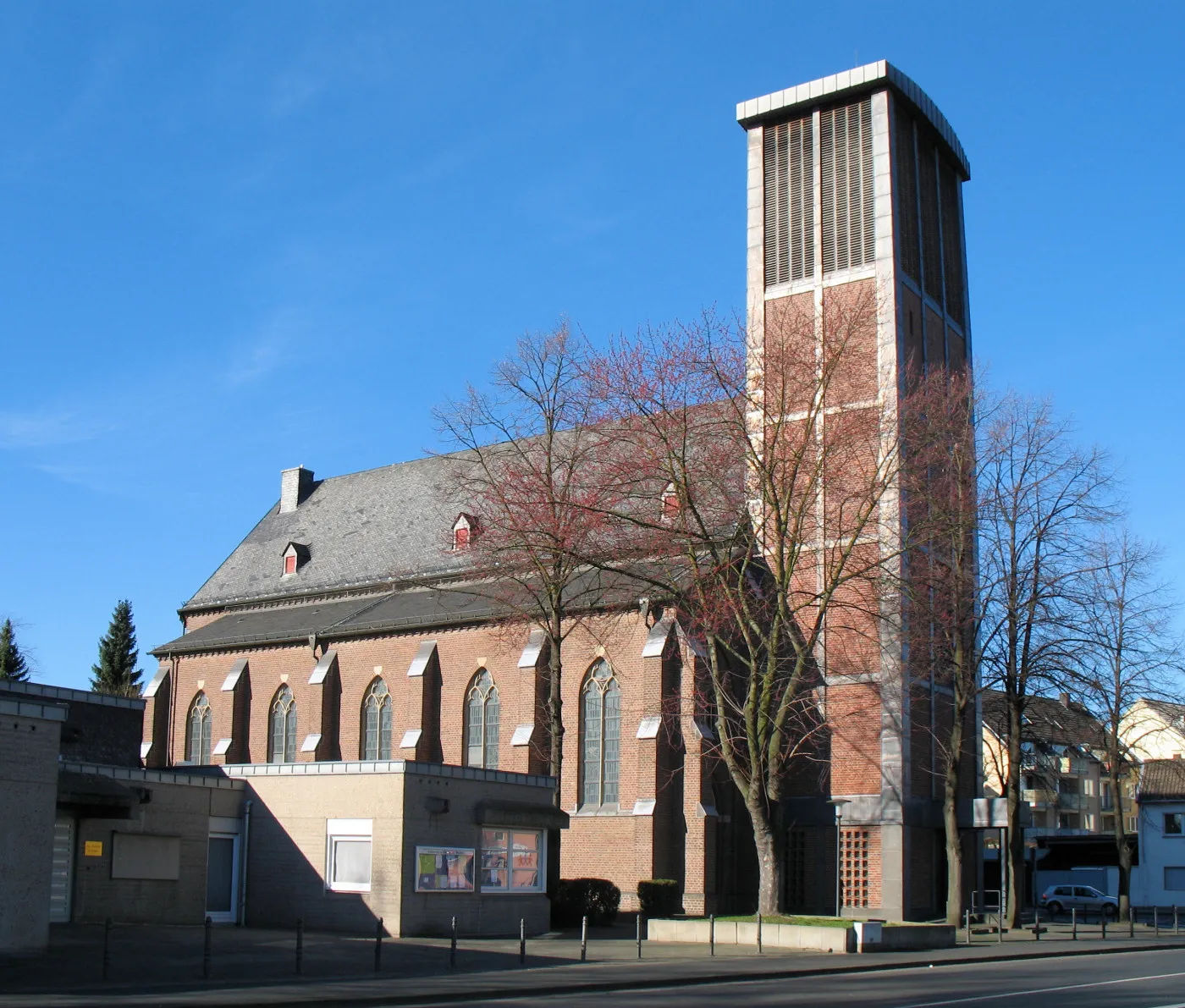
ChorweilerSub-urbChorweiler offers a mix of residential areas and natural settings, providing an escape from the urban hustle.
54 km
54 km
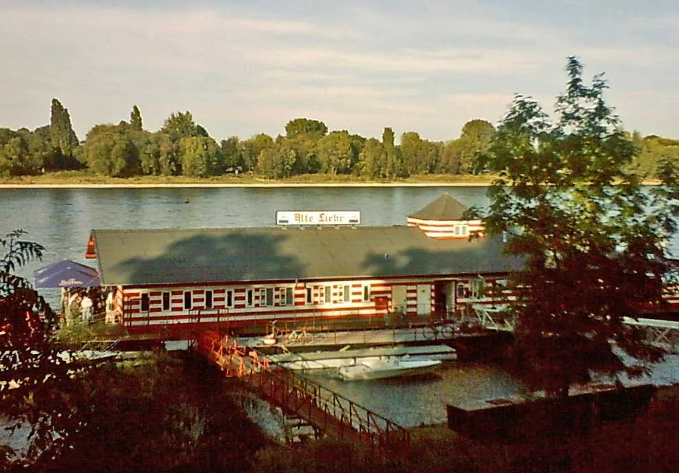
Alter SchlackehafenViewpointAt Alter Schlackehafen, see remnants of an old harbor, showcasing the history of Cologne's industrial past.
61 km
61 km
HöhenbergSub-urbHöhenberg is home to diverse landscapes, including parks, forests, and open fields, providing adventurers with a variety of sceneries.
66 km
66 km
Finish: Locality centerGremberghoven: Diverse landscapes and cyclist-friendly infrastructure along the Rhine River.
Cycling routes from Gremberghoven:
Cycling routes nearby: