Cycling paradise in Köln, Germany.
Cycling routes from Rodenkirchen
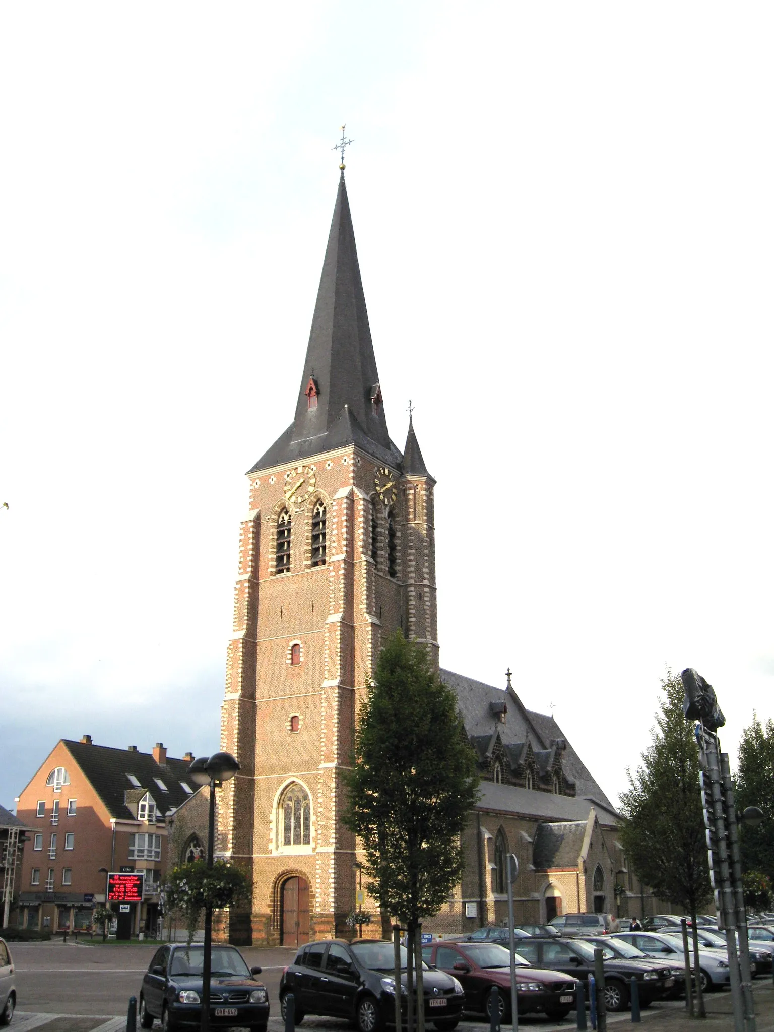
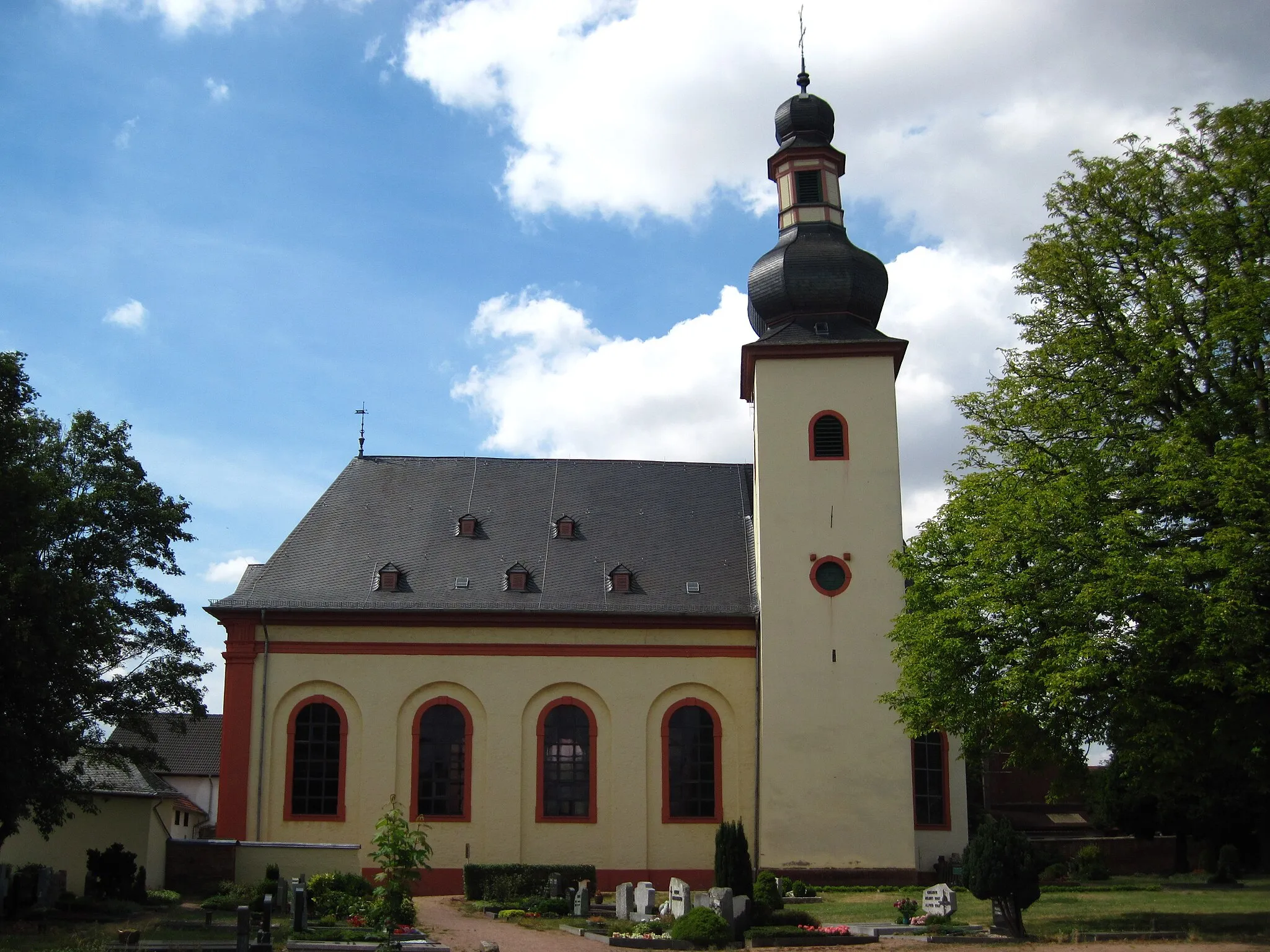
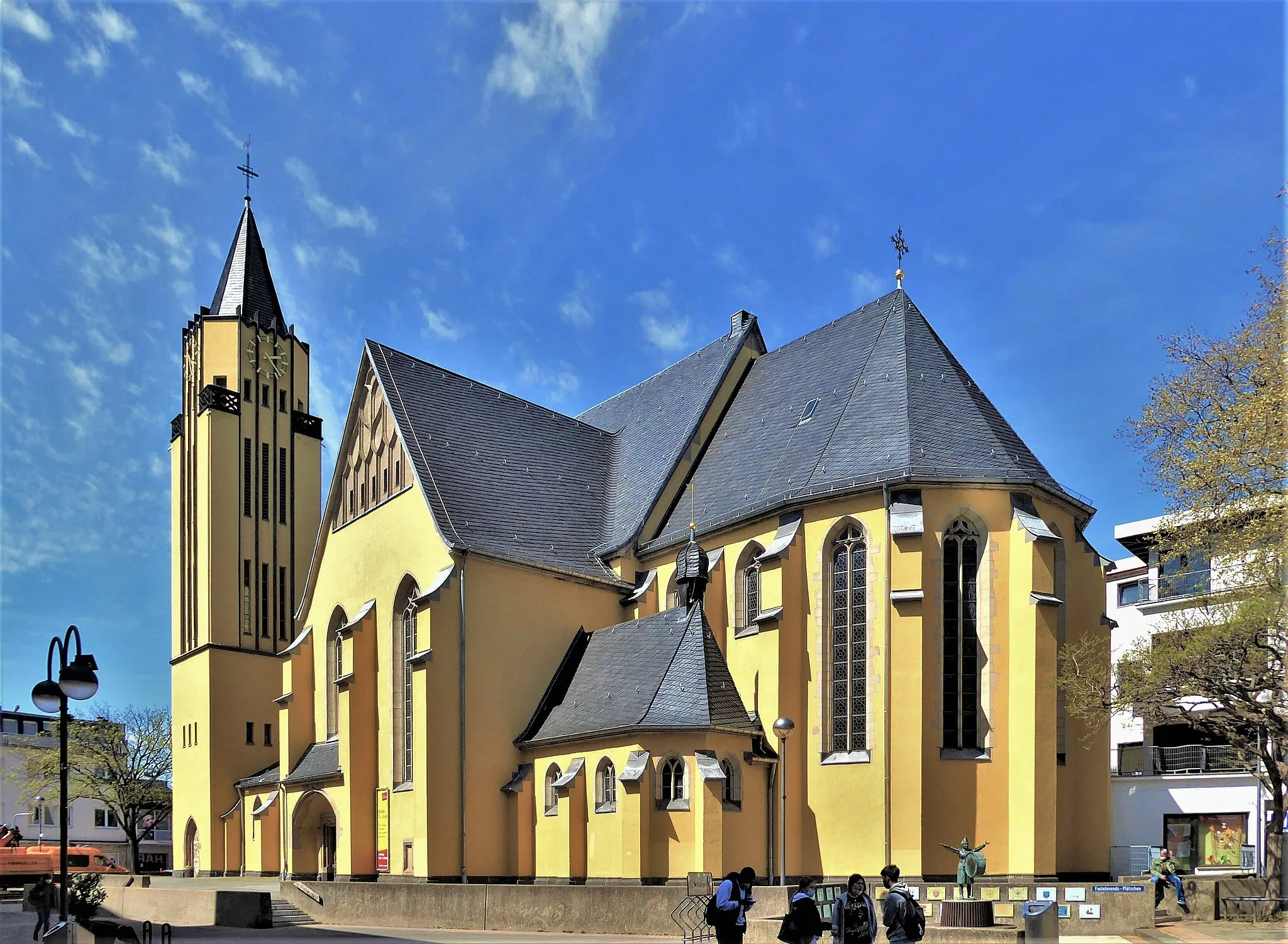
Rodenkirchen, located in Köln, Germany, is a cyclist-friendly area with a mix of urban and rural routes. As a road and gravel cyclist, you can explore the city streets and enjoy the vibrant atmosphere. There are also beautiful rural roads surrounding Rodenkirchen, perfect for longer rides and escaping the hustle and bustle of the city. While there may not be any well-known climbs in the immediate vicinity, the area offers a varied terrain with some challenging hills. Overall, Rodenkirchen is a great destination for cyclists looking for diverse routes and a lively cycling scene.
Discover Cologne's Surroundings
Experience the diverse surroundings of Cologne on this road cycling route.
Experience the diverse surroundings of Cologne on this road cycling route. With a total distance of 69 kilometers and an ascent of 244 meters, this route is suitable for intermediate level cyclists. The route takes you through various landscapes, including charming villages, rolling hills, and river views. Along the way, you'll pass by historical landmarks and enjoy scenic viewpoints.
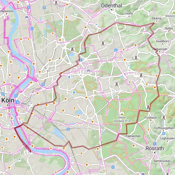
A gravel adventure through Bayenthal and Westhoven
This scenic gravel route takes you through the charming neighborhoods of Bayenthal and Westhoven. With a distance of 62 km and an ascent of 445 meters, it offers a moderate challenge to cyclists. Along the way, you'll pass picturesque highlights such as Südbrücke, Holweide, Oberkäsbach, Moitzfeld, Tütberg, Großer Steinberg, and Westhoven. Explore these attractions while enjoying the beautiful natural landscapes surrounding Rodenkirchen.
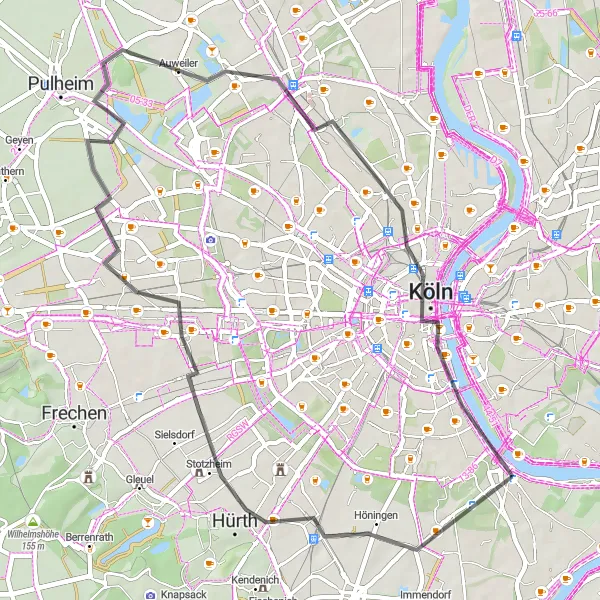
Explore Hürth and Cologne on this road cycling route
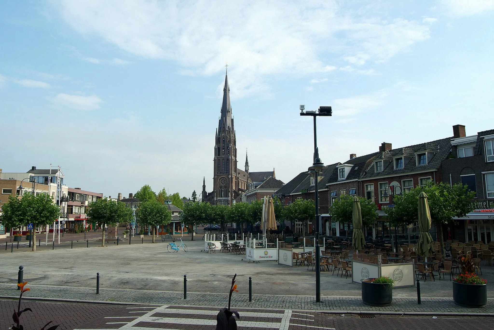
Experience the vibrant cities of Hürth and Cologne on this road cycling route. Covering a distance of 49 km with a gentle elevation gain of 118 meters, it offers a leisurely ride suitable for all skill levels. Highlights along the route include Hürth, Aussichtspunkt Pulheimer See, Orr, Hohenzollernbrücke, and Cologne. Immerse yourself in the bustling urban landscapes and cultural attractions along the way.
Charming Ride In The Countryside
Explore the peaceful countryside and enjoy scenic views.
This round-trip cycling route takes you through the charming countryside near Rodenkirchen, offering a peaceful and scenic experience. The route is perfect for nature lovers and those looking to enjoy some peaceful time away from the city. With a total distance of 38 kilometers and an ascent of 125 meters, it is suitable for cyclists of all levels. The gravel paths provide a smooth and enjoyable ride.
Enjoy a picturesque gravel route to Zündorf
This picturesque gravel route covers a distance of 56 km with an elevation gain of 287 meters, offering a pleasant cycling experience. The route passes through highlights such as Marienburg, Südbrücke, Rösrath, Krühmerich, Moltkeberg, Zündorf, and Bayenthal. Immerse yourself in the stunning natural beauty and historical charm along the way.
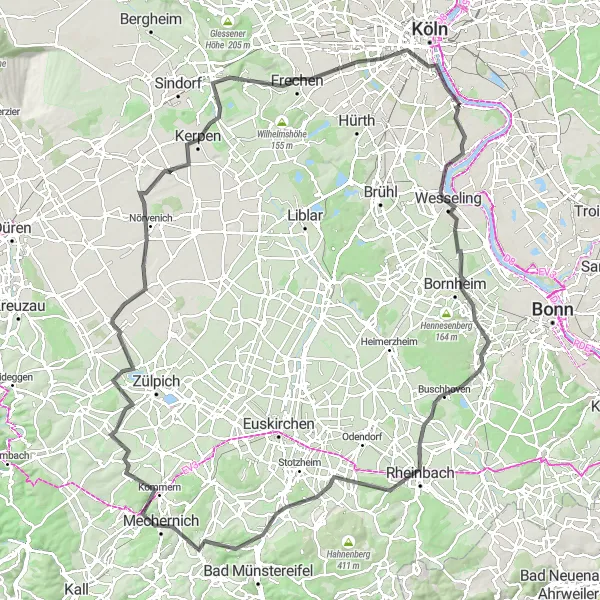
Embark on a challenging road cycling adventure in the picturesque Bergisches Land.
Embark on a challenging road cycling adventure in the picturesque Bergisches Land. With a total distance of 117 kilometers and an ascent of 1135 meters, this route is suitable for experienced and well-trained cyclists. The route takes you through rolling hills, charming towns, and beautiful countryside. Along the way, you'll encounter various highlights, including panoramic viewpoints and historic landmarks.
Conquer the ultimate gravel challenge to Finkenberg
Embark on the ultimate gravel challenge with this epic route to Finkenberg. Covering a distance of 93 km and an elevation gain of 903 meters, it offers a thrilling adventure for experienced cyclists. Highlights along the route include Cologne, Hohenzollernbrücke, Förster-Schreibweis-Kanzel, Wiebershausen, Löhberg, Olpe, Untereschbach, Monte Troodelöh, Finkenberg, and Südbrücke. Prepare to be amazed by magnificent landscapes and remarkable attractions.
The Rhein Route
A scenic ride along the Rhine River with breathtaking views of Cologne and Leverkusen
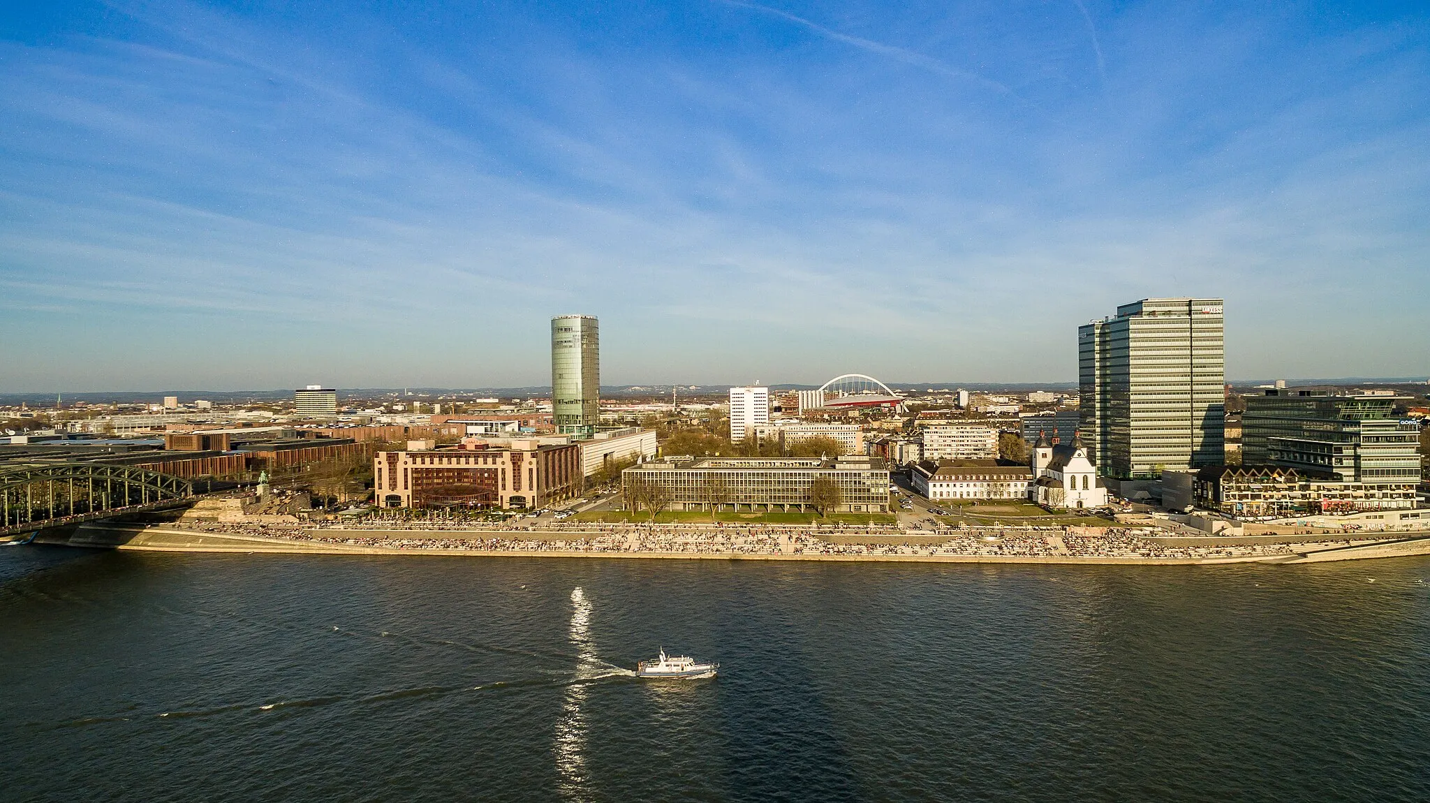
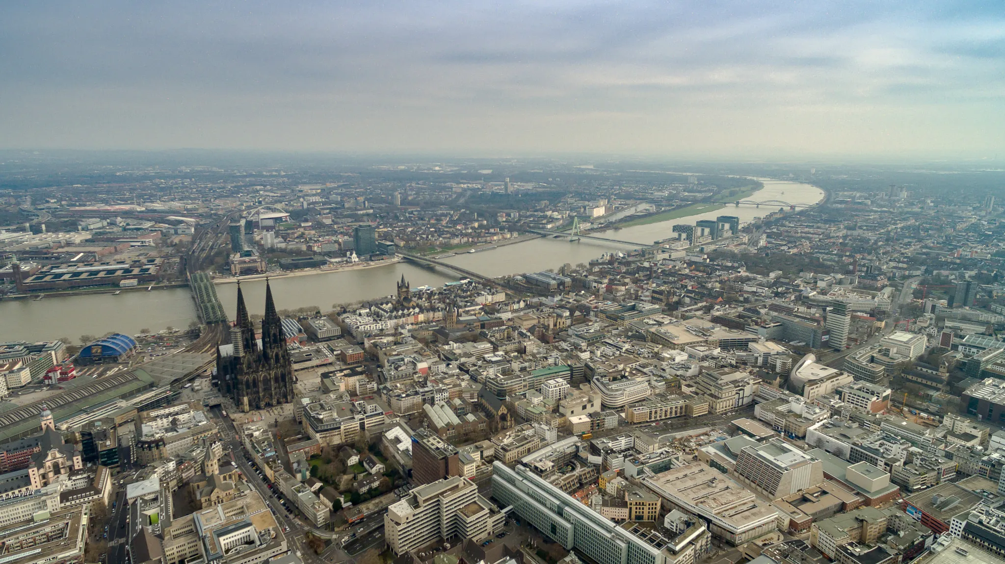
The Rhein Route is a fantastic cycling adventure that takes you along the banks of the picturesque Rhine River. Starting near Rodenkirchen in Cologne, Germany, this round-trip route offers stunning views of the city skyline and iconic landmarks such as the Hohenzollernbrücke and the Leverkusen bridge. With a total distance of 150 kilometers and an ascent of 1283 meters, the Rhein Route is suitable for well-trained amateurs seeking a moderate challenge. The path is predominantly flat, with some rolling hills and a few climbs along the way. The highlight of this route is undoubtedly the Hohenzollernbrücke, a magnificent bridge that spans the Rhine River. As you cycle across, you'll be treated to panoramic views of Cologne's historic city center and its impressive cathedral. Another standout highlight is Leverkusen, a neighboring city known for its industrial heritage and vibrant riverfront. Other noteworthy highlights include Monheim am Rhein, with its charming river promenade and quaint architecture; Gerresheim, a neighborhood in Düsseldorf known for its preserved medieval charm; and Heiligenhaus, a small town nestled among green hills and forests. Each highlight along the Rhein Route has been scored based on its attractiveness and cultural significance. Cologne and the Hohenzollernbrücke score the highest with a perfect 5, while other highlights such as Rennbahn-Blick, Odenthal, and Höhenberg also earn high marks. Overall, the Rhein Route provides a captivating cycling experience with a mix of urban landscapes and natural beauty. Cyclists can immerse themselves in the rich history and culture of the Rhineland region while enjoying breathtaking views and picturesque towns along the way.
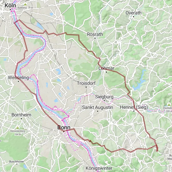
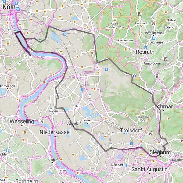
Embark on a gravel adventure to Hennef (Sieg)
This adventurous gravel route will take you to the charming town of Hennef (Sieg). Covering a distance of 95 km with an elevation gain of 717 meters, it offers a challenge to experienced cyclists. Highlights along the route include Bayenthal, Südbrücke, Hohe Schanze, Lohmar, Hennef (Sieg), Dahlhausen, Dollendorfer Hardt, Alter Zoll, Wesseling, and Rodenkirchen. Enjoy the diverse landscapes and stunning views throughout the journey.
Experience the beauty of the Rhein River Valley on this scenic road cycling route.
Experience the beauty of the Rhein River Valley on this scenic road cycling route. With a total distance of 135 kilometers and an ascent of 809 meters, this route is suitable for well-trained amateur cyclists. The route takes you through picturesque towns and offers breathtaking views of the river and surrounding countryside. There are several highlights along the route, including viewpoints and historical landmarks.
Cycling routes nearby:


Nearby regions: